The Sustrans Cycling Route
A road cycling route starting from Susice
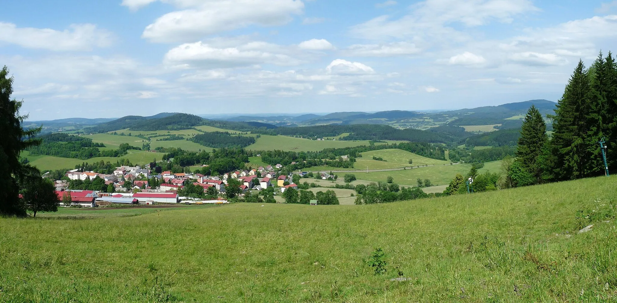
Discover the picturesque landscapes and charming towns along the Sustrans Cycling Route.
Map
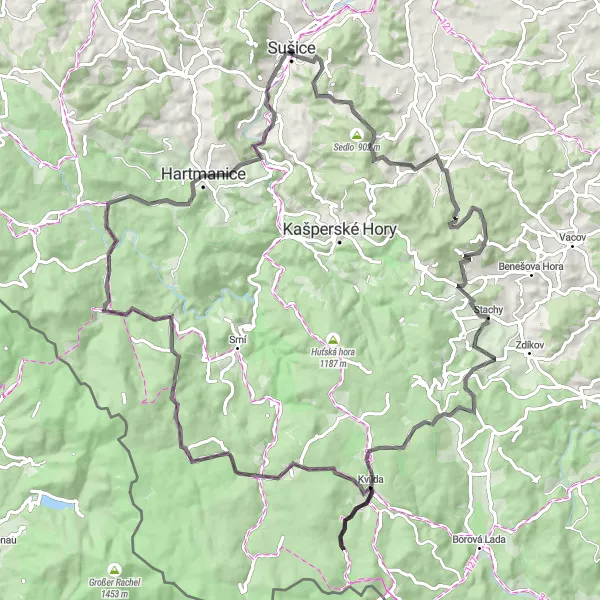
The Sustrans Cycling Route is a 104-kilometer road route starting near Sušice in Jihozápad, Czech Republic. This route offers a diverse terrain and breathtaking sights, including Sušice, Skalice, Kamenný vrch, Nový Dvůr, Kvilda, Lapka, Jezernice, Prášily, Hamižná, and Sušice I.
road
104 km
1890 m
Tough
Route profile
Highlights on the route
0 km
0 km
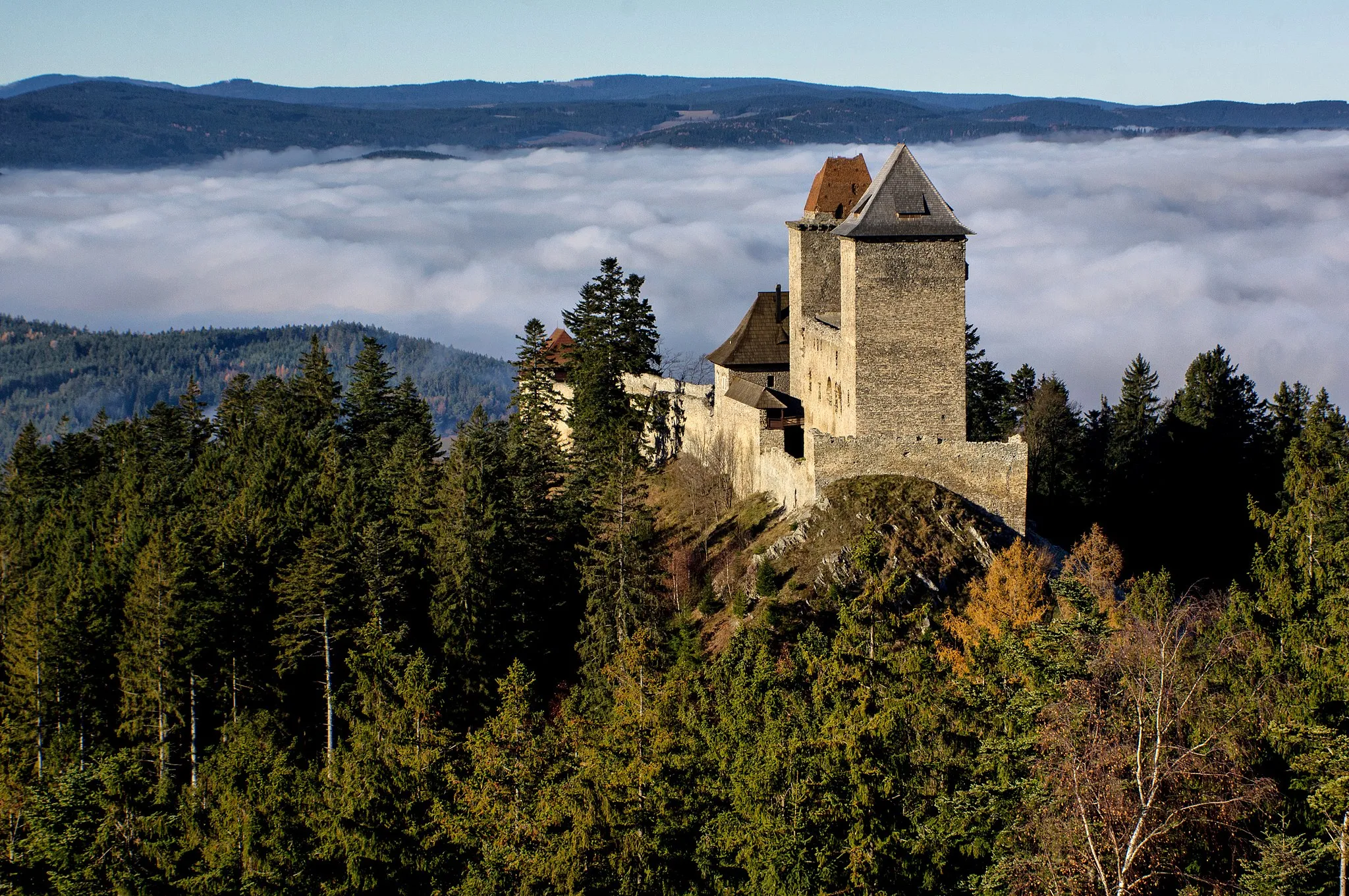
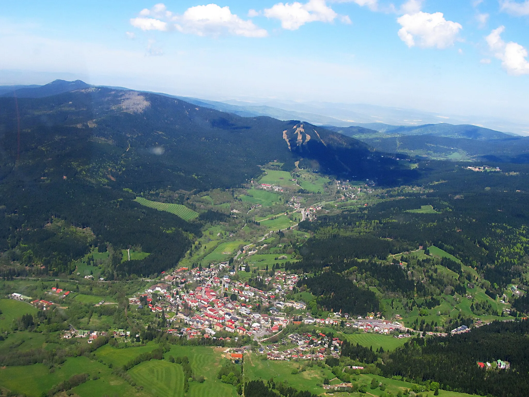
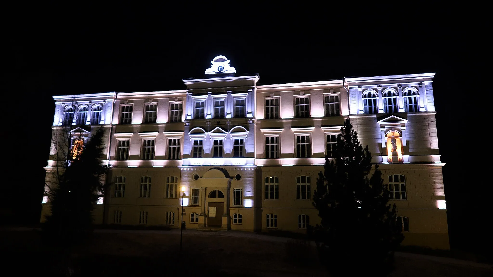
Start: Sušice City centerSušice: Cycling Haven in the Jihozápad Region
Sušice is a town in the Jihozápad region of the Czech Republic that offers various cycling opportunities for both road and gravel cyclists. The town is located in the picturesque Sušice Basin, surrounded by the Šumava Mountains and the Bohemian Forest. Local cyclists often explore the beautiful countryside and nearby forests on their bikes, enjoying the quiet roads and gravel trails. One of the notable cycling spots in the area is the Sušice-based MTB Vydra Racing team, which organizes local races and promotes mountain biking in the region. Overall, Sušice is a great destination for cycling enthusiasts seeking scenic routes and challenging terrains.0 km
0 km
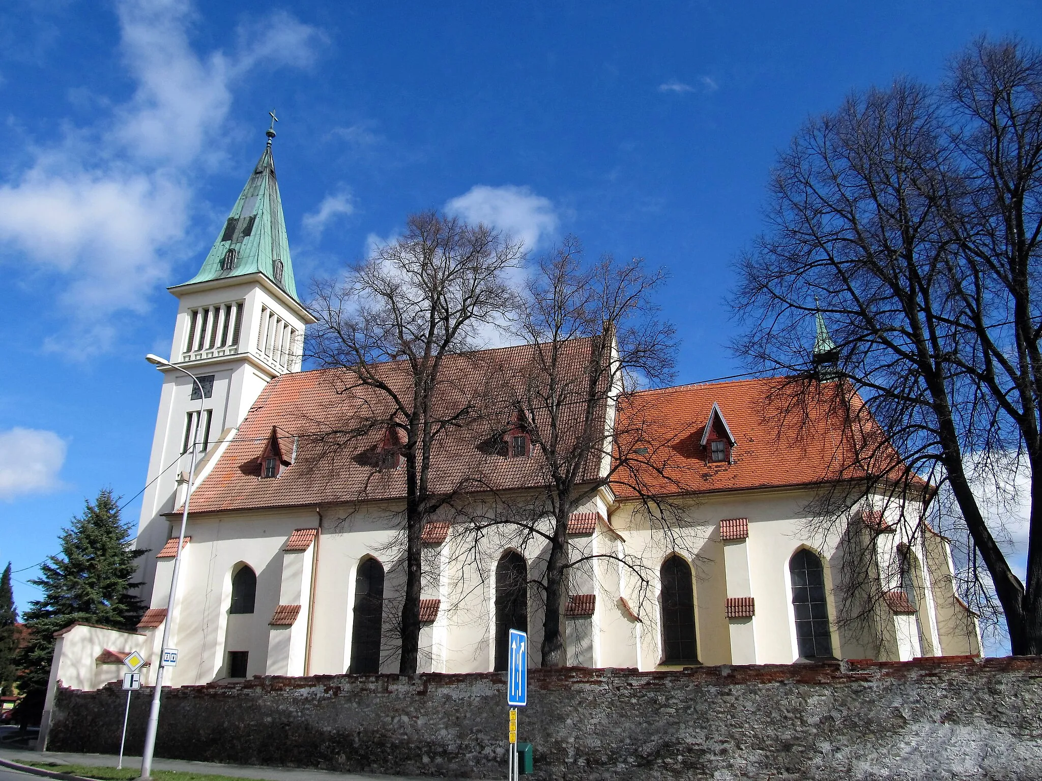
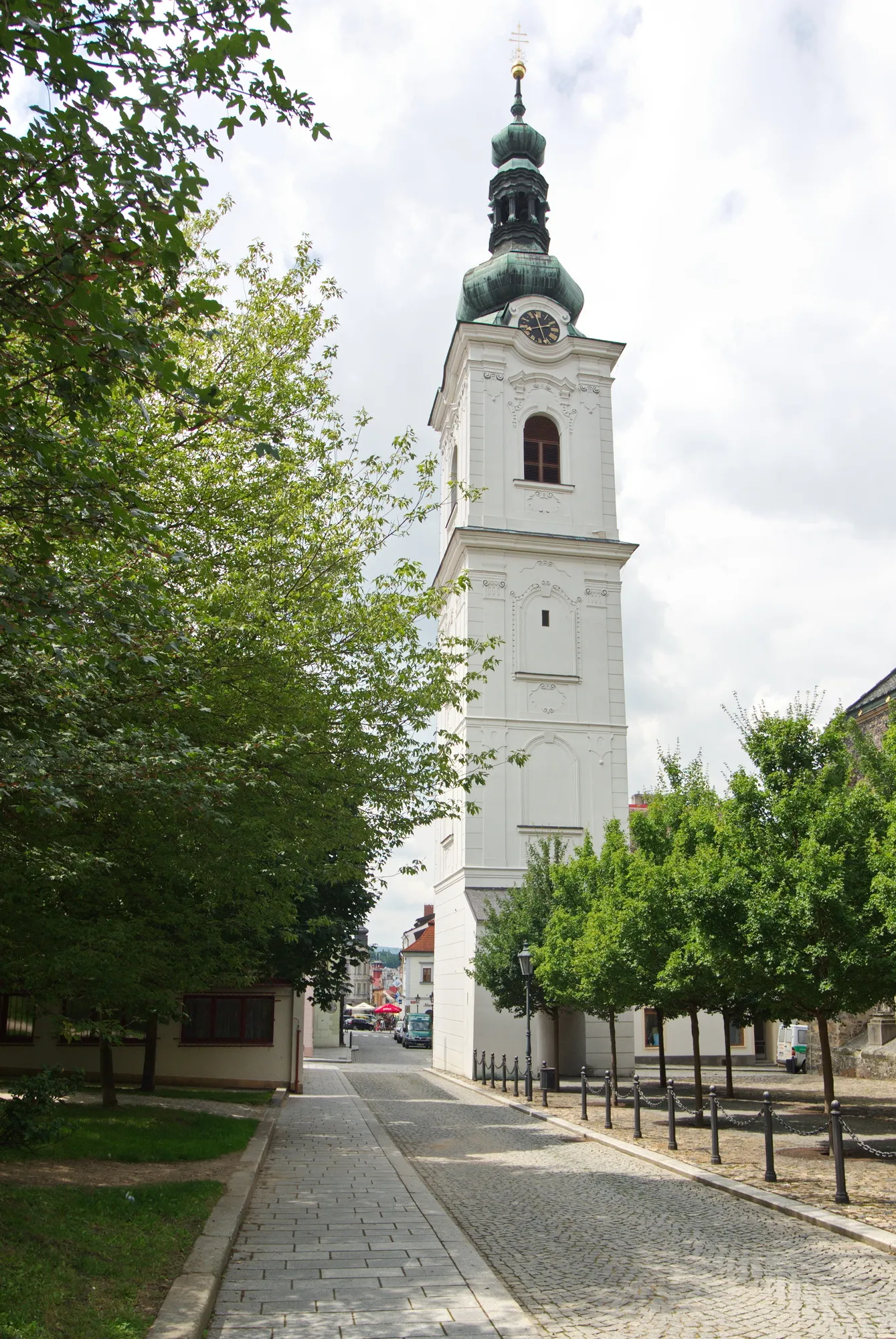
SušiceTownSušice is a charming town with traditional Czech architecture.
13 km
13 km
Skalice672 mPeakSkalice is known for its beautiful natural surroundings and tranquil atmosphere.
33 km
33 km
Kamenný vrch867 mPeakKamenný vrch provides panoramic views of the surrounding countryside.
34 km
34 km
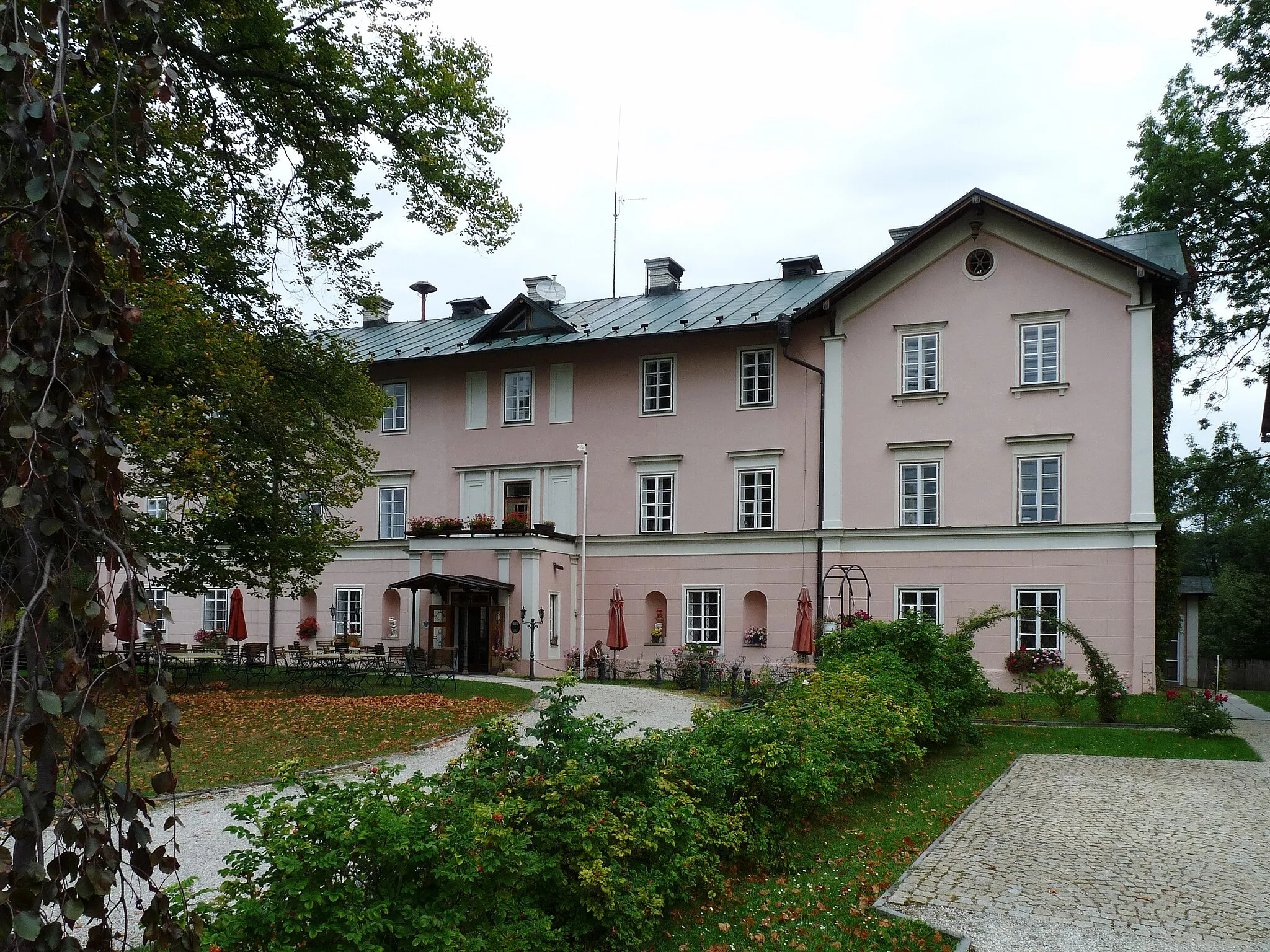
Nový DvůrVillageNový Dvůr is a historic estate with stunning gardens.
55 km
55 km
KvildaVillageKvilda is a renowned village located in the Šumava National Park.
56 km
56 km
Lapka1171 mPeakLapka offers a peaceful place to rest and enjoy nature.
72 km
72 km
Jezernice1266 mPeakJezernice is a small village with a picturesque lake.
80 km
80 km
PrášilyVillagePrášily is a popular destination for outdoor activities and hiking.
92 km
92 km
Hamižná853 mPeakHamižná is a scenic area with rolling hills.
104 km
104 km
Sušice ISub-urbSušice I is the starting point of the route and is known for its rich history and cultural heritage.
104 km
104 km
Finish: Sušice City centerSušice: Cycling Haven in the Jihozápad Region
Cycling routes nearby: