Exploring the Borderland
A road cycling route starting from Albrechtice
An adventurous road cycling route along the Czech-Polish border
Map
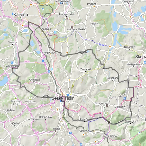
This road cycling route takes you through the borderland between the Czech Republic and Poland, offering a unique cultural and scenic experience. With a total distance of 63 km and an ascent of 646 meters, the route is suited for experienced amateurs. Highlights along the route include the charming town of Albrechtice, the picturesque village of Kaczyce, and the historical sites in Godziszów. Overall, this route offers a fascinating combination of natural beauty and cultural heritage.
road
63 km
646 m
Tough
Route profile
Highlights on the route
0 km
0 km
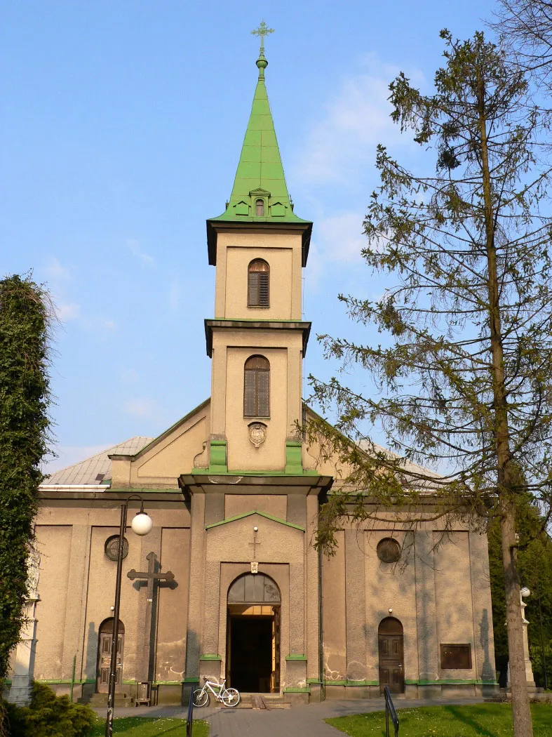
Start: Albrechtice Village centerAlbrechtice: Cycling Paradise in Albrechtice
Albrechtice, situated in Moravskoslezsko, Czech Republic, is a haven for cyclists. The locality offers a variety of road and gravel cycling routes, allowing cyclists to explore the beautiful surrounding countryside. Albrechtice is known for its cyclist-friendly infrastructure, ensuring a pleasant riding experience. The region also boasts several well-known climbs nearby, providing a challenge for experienced riders. With its stunning landscapes and excellent cycling opportunities, Albrechtice is a must-visit destination for cycling enthusiasts.0 km
0 km
AlbrechticeVillageAlbrechtice is the starting point of the route, known for its tranquil atmosphere and quaint streets.
12 km
12 km
KaczyceVillageKaczyce is a traditional Polish village with stunning views of the surrounding countryside.
20 km
20 km
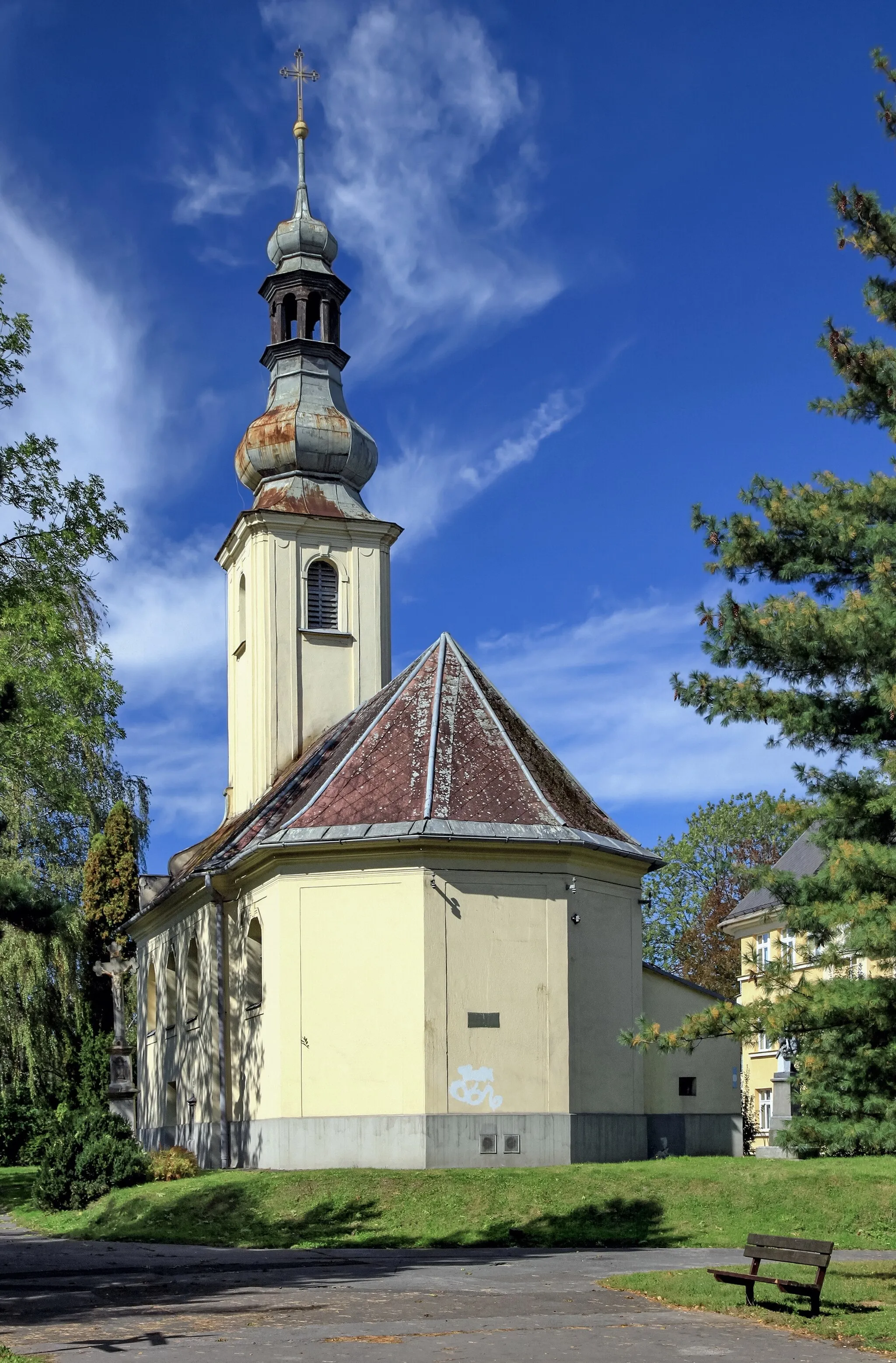
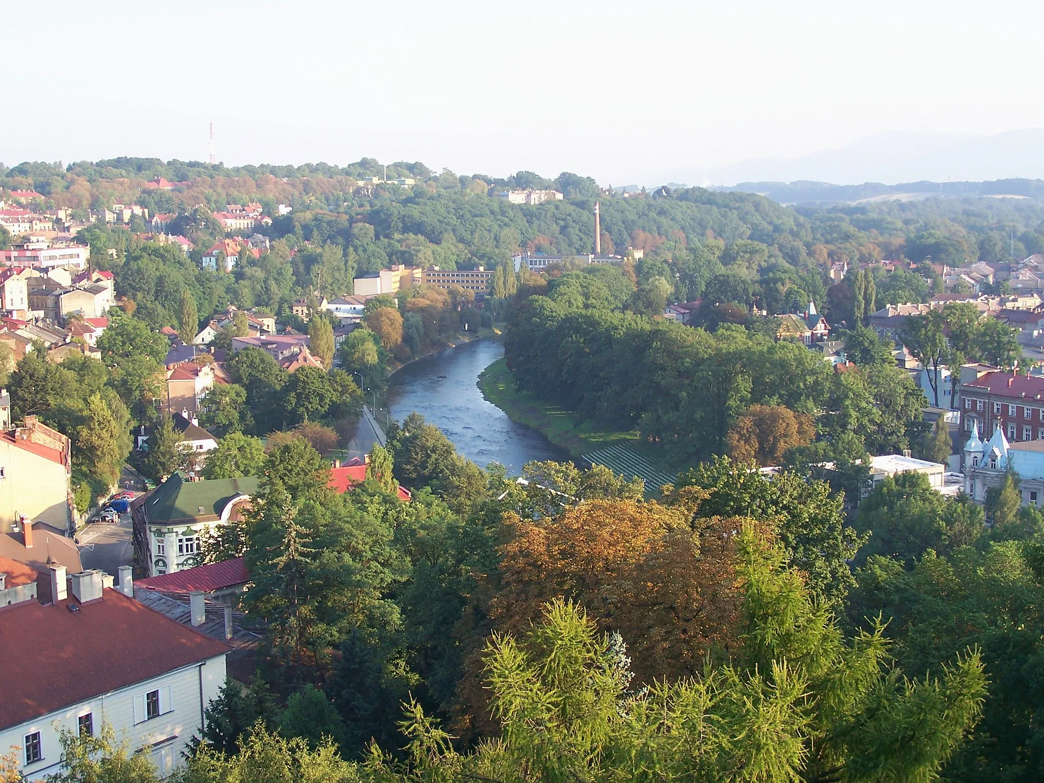
HażlachVillageHażlach is a historic town that showcases the rich history and architecture of the region.
32 km
32 km
GodziszówVillageGodziszów is a charming village with well-preserved historical buildings and a peaceful atmosphere.
39 km
39 km
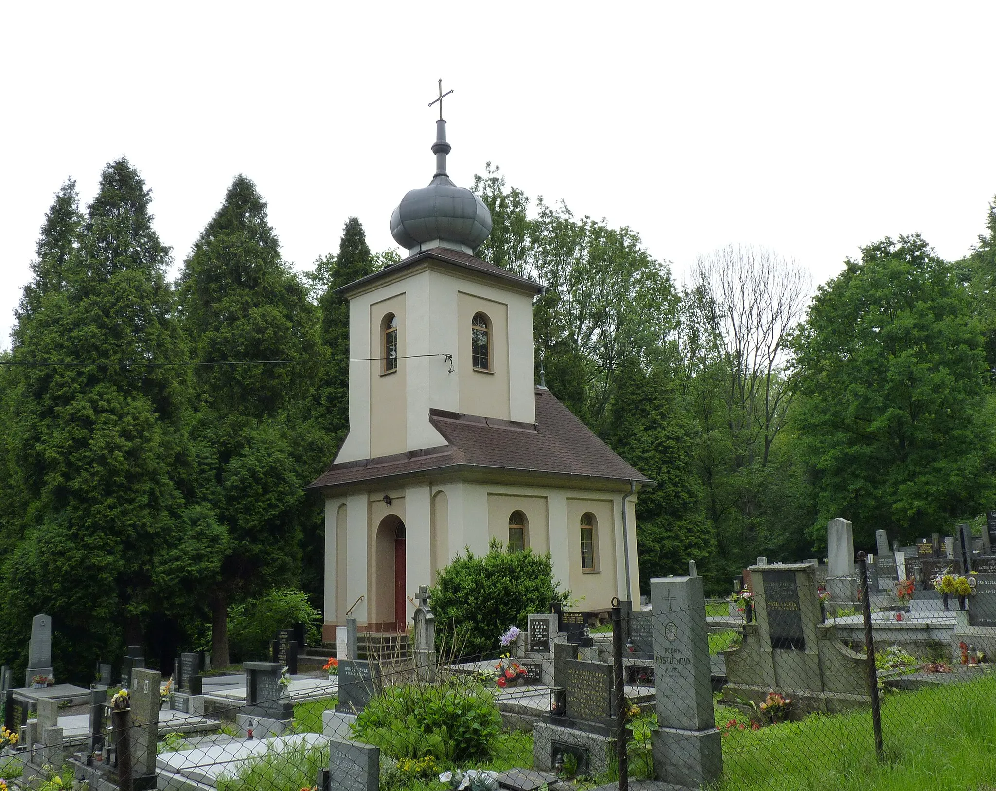
Machowa (Machula)464 mPeakMachowa (Machula) is a hidden gem with a small chapel and tranquil surroundings.
54 km
54 km
MostyVillageMosty is a picturesque village with a scenic bridge over the river, perfect for a short break.
56 km
56 km
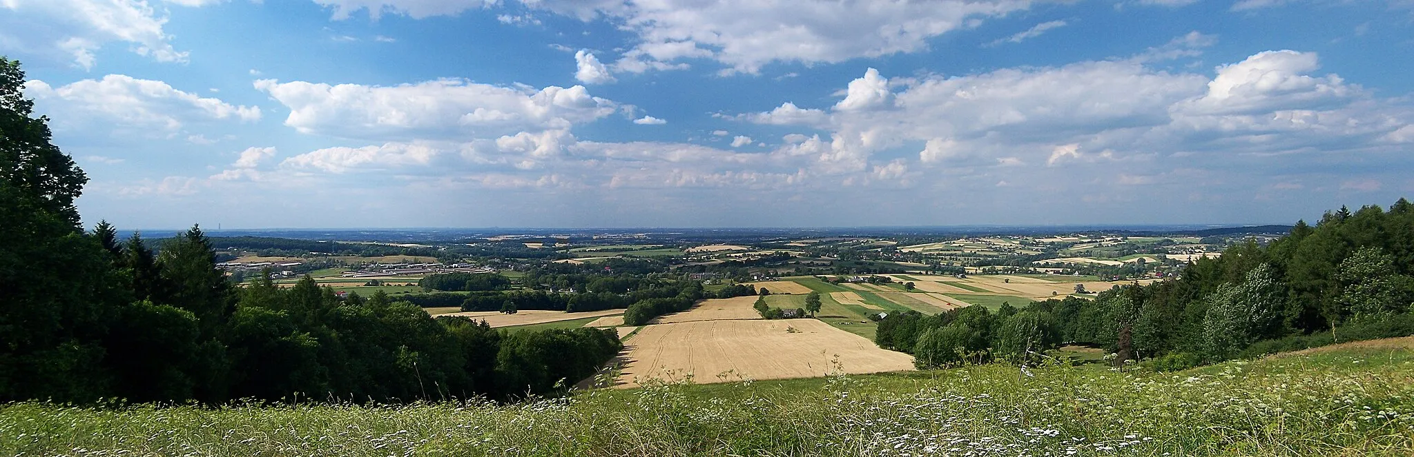
Hory423 mPeakHory offers panoramic views of the surrounding countryside and is a great spot to take in the scenery.
63 km
63 km
Finish: Albrechtice Village centerAlbrechtice: Cycling Paradise in Albrechtice
Cycling routes from Albrechtice:
Cycling routes nearby: