![Cover image](https://images.tarmacs.app/cycling-routes/covers/czech-republic/moravskoslezsko/frenstat-pod-radhostem-3.webp)
Unforgettable Cycling Experiences in Frenštát pod Radhoštěm
Cycling routes from Frenstat pod Radhostem
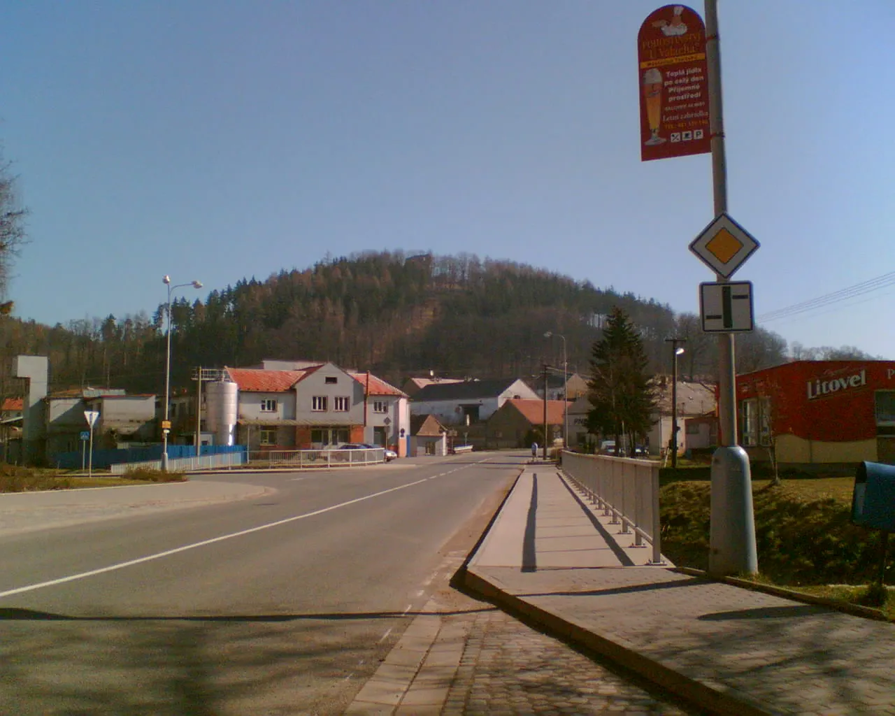
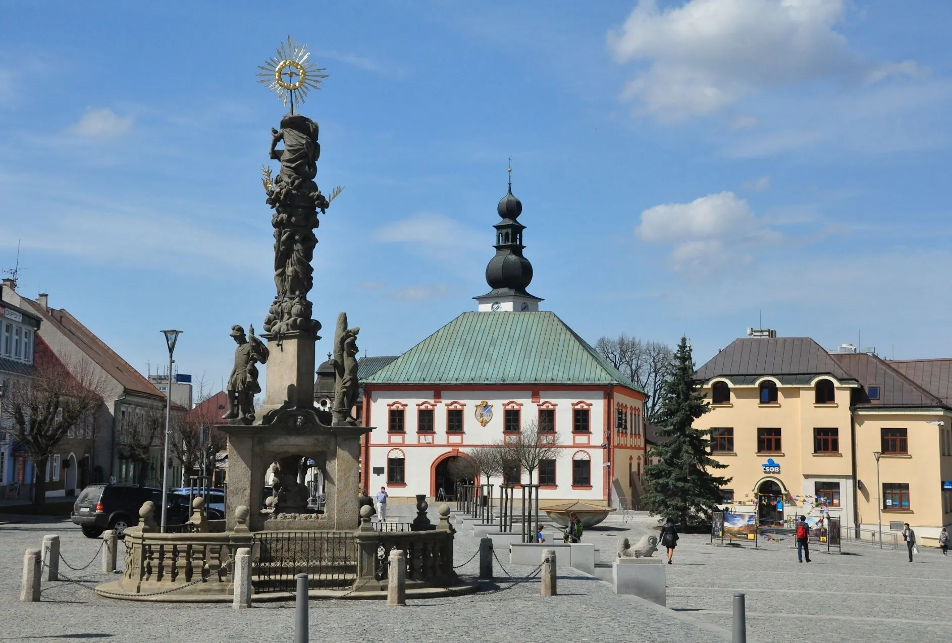
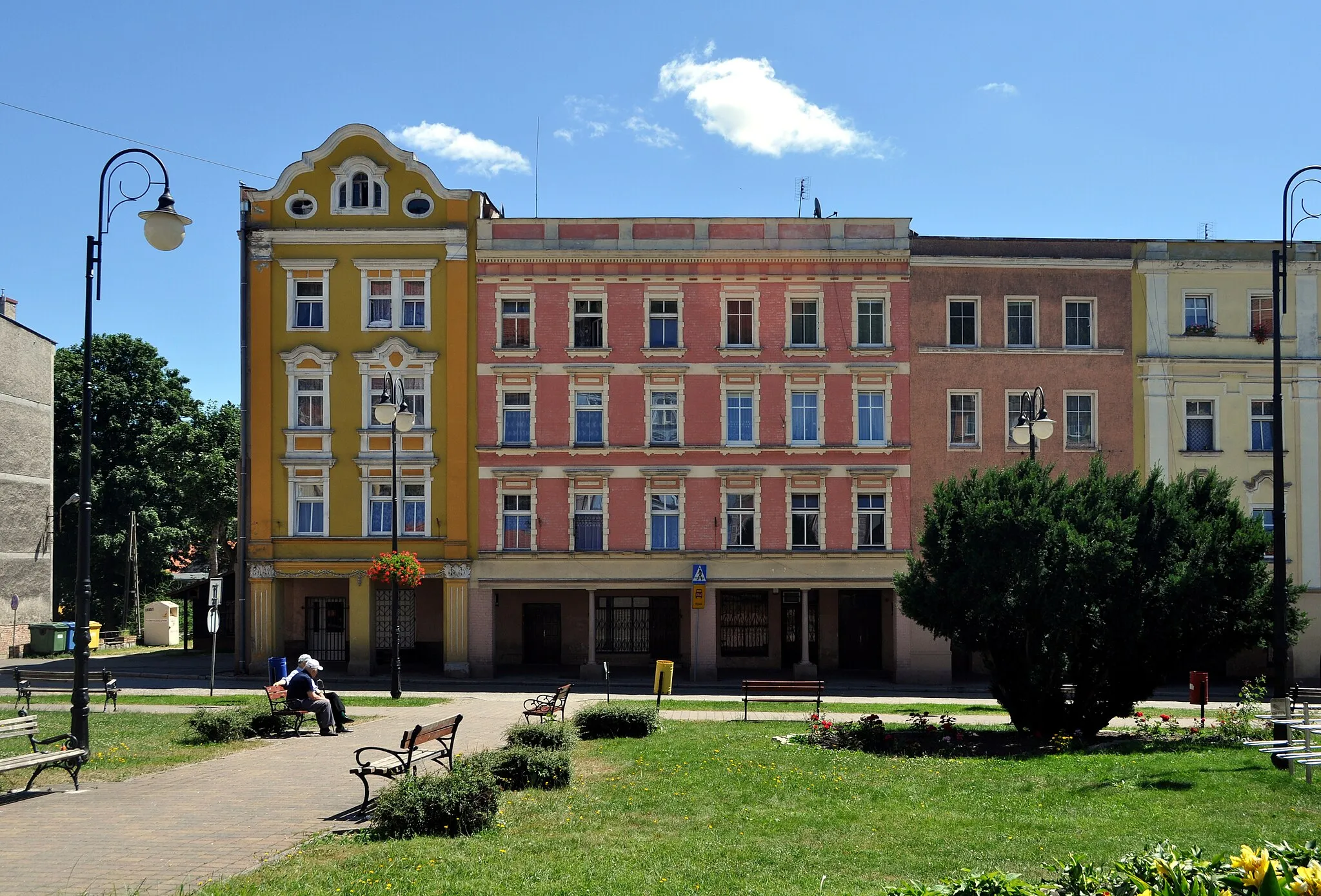
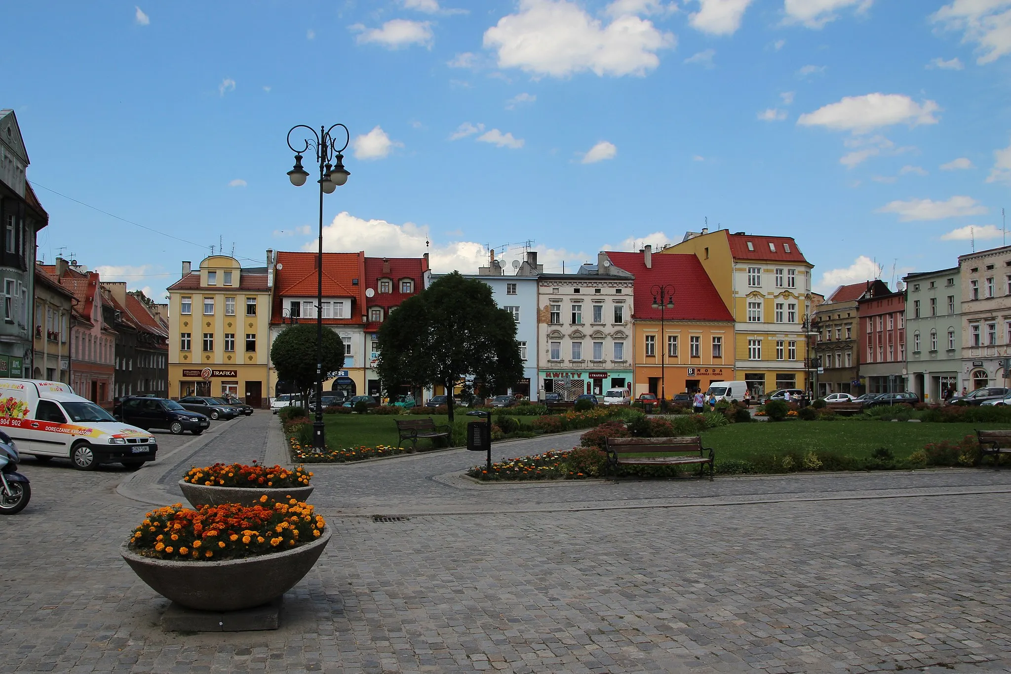
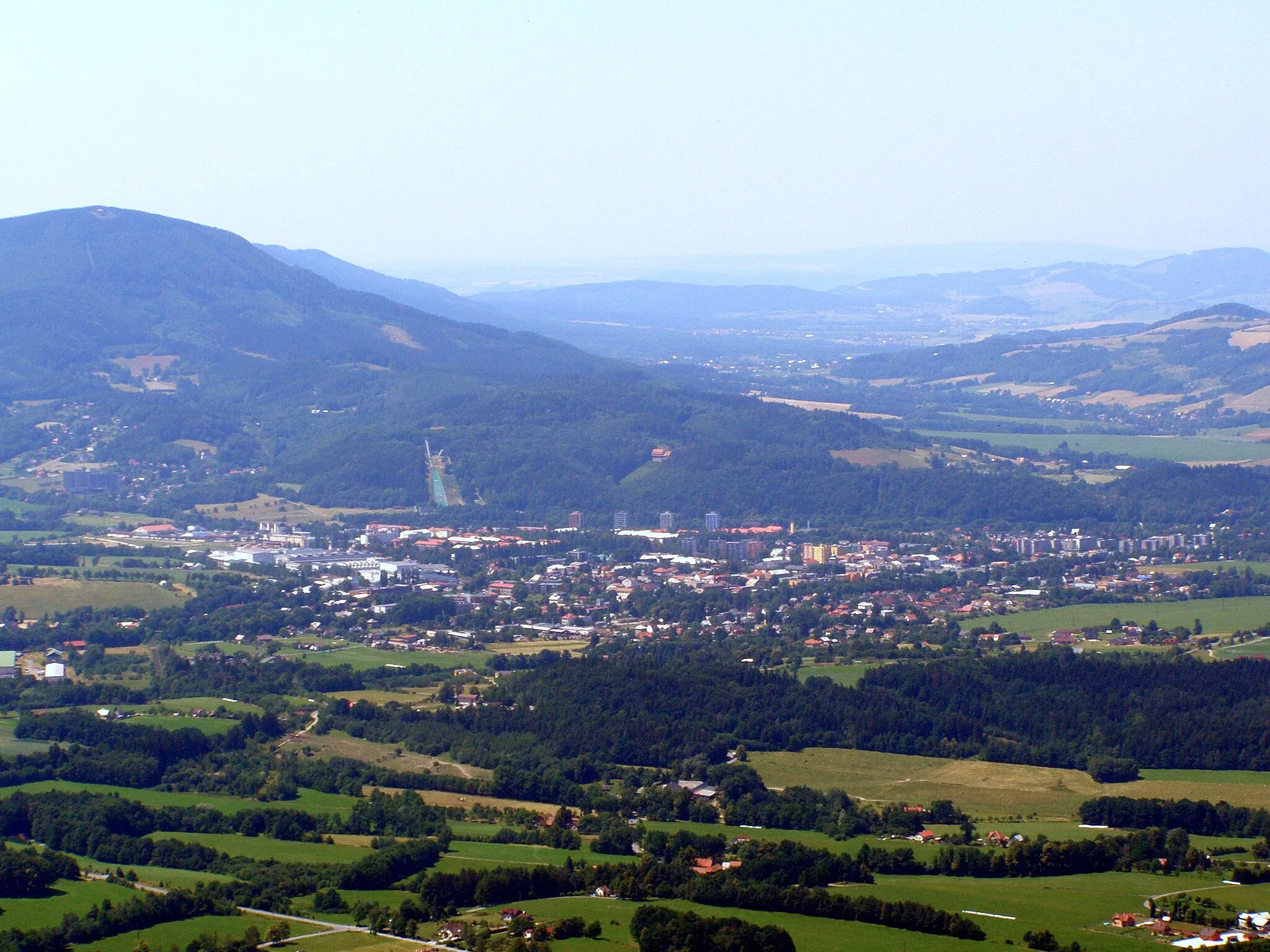
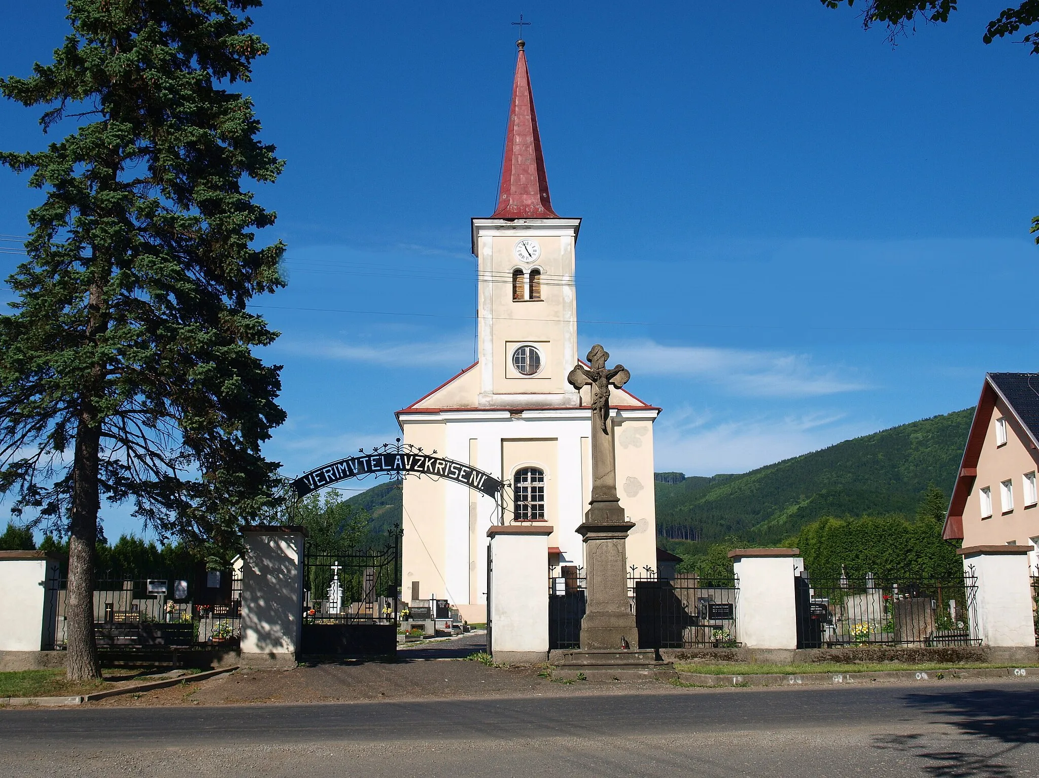
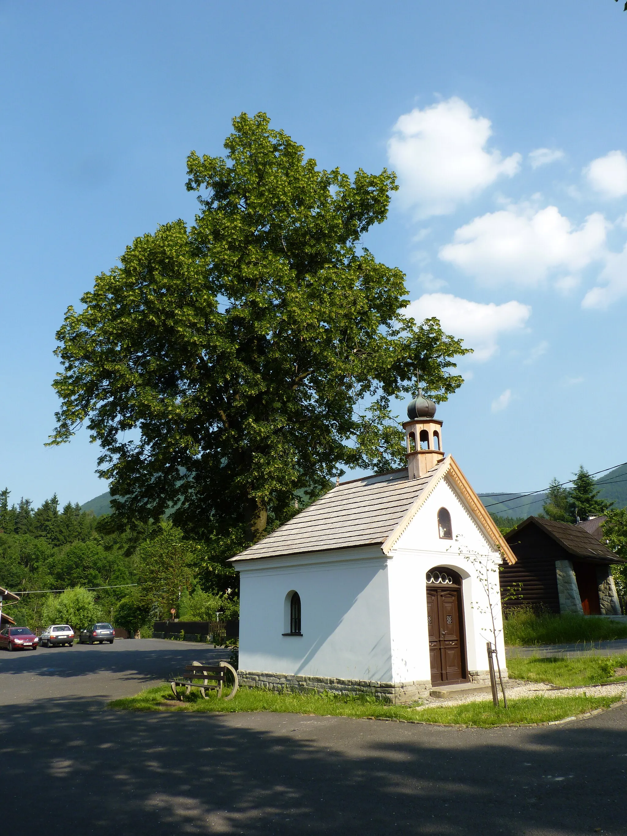
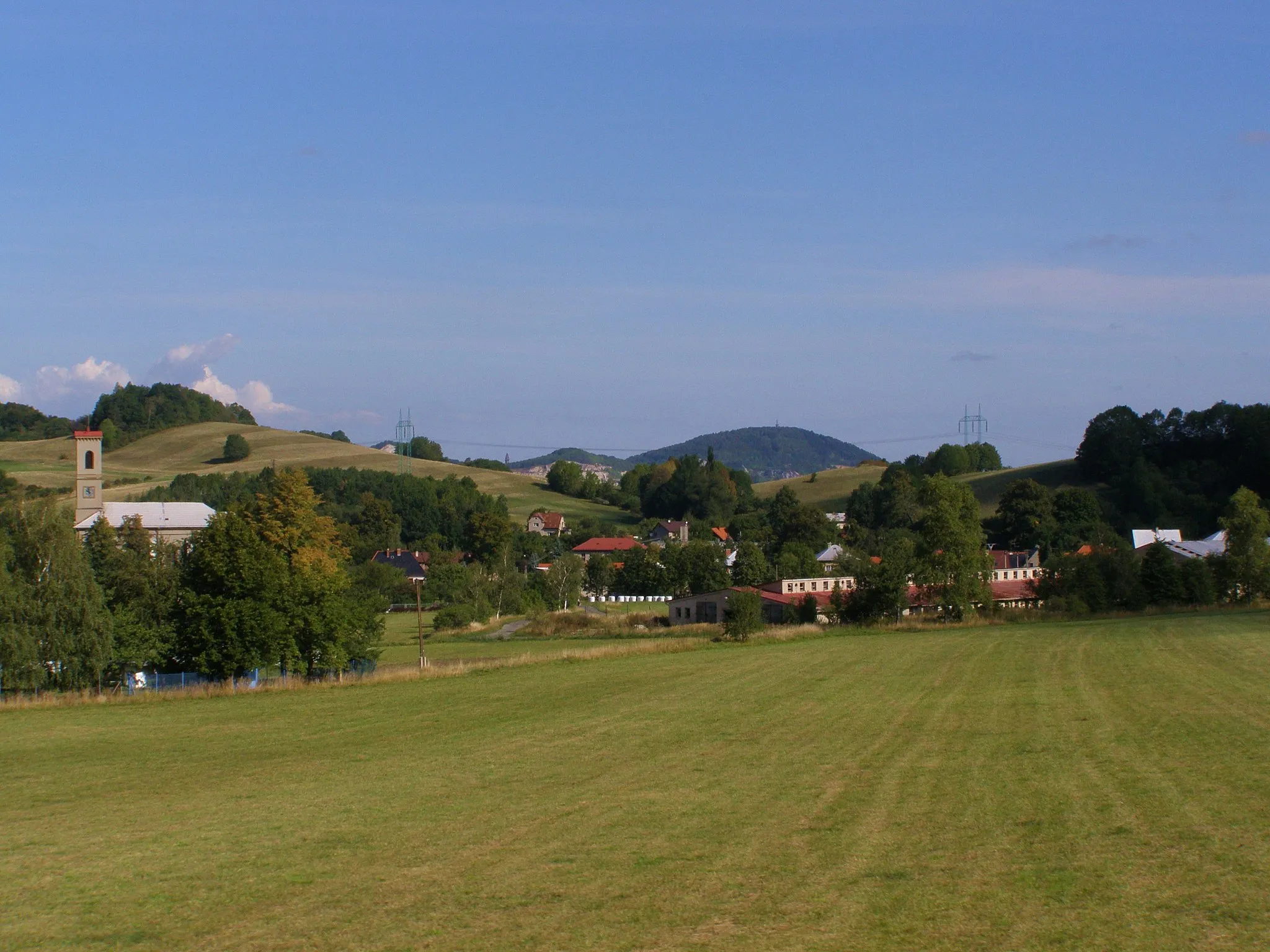
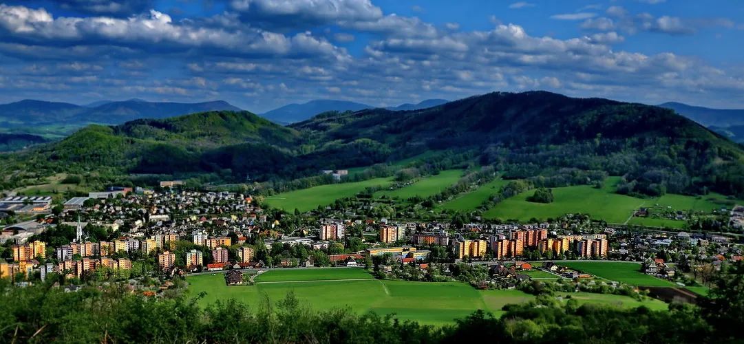
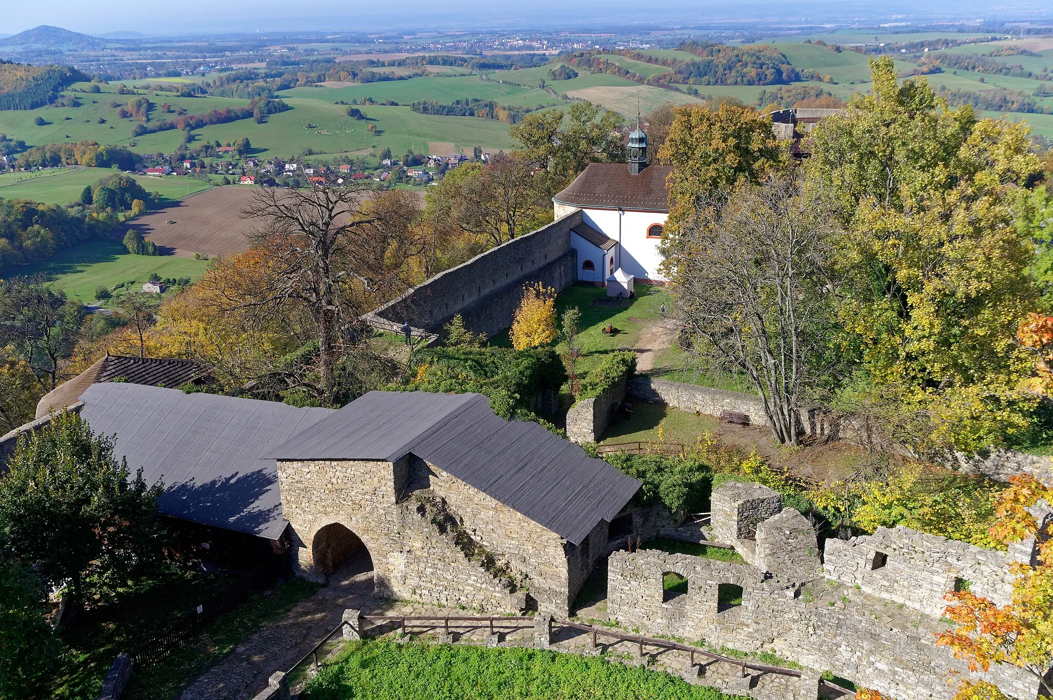
Frenštát pod Radhoštěm, located in Moravskoslezsko, Czech Republic, is a cyclist's dream destination. The town offers a plethora of cycling routes that showcase the region's stunning natural scenery. Road cyclists can tackle the famous climb to Radhošť, known for its challenging ascent and rewarding views at the summit. With its cyclist-friendly infrastructure and breathtaking landscapes, Frenštát pod Radhoštěm is a must-visit locality for cycling enthusiasts.
![Map miniature of "Adrenaline Rush on Gravel Roads" cycling inspiration in Moravskoslezsko, Czech Republic. Generated by Tarmacs.app cycling route planner](https://images.tarmacs.app/cycling-routes/routemaps/600/czech-republic/moravskoslezsko/frenstat-pod-radhostem/gravel/273531.webp)
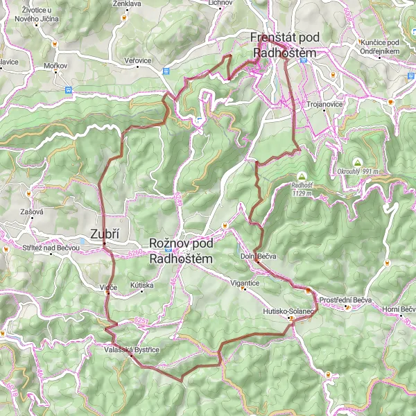
A thrilling gravel cycling route with an impressive ascent
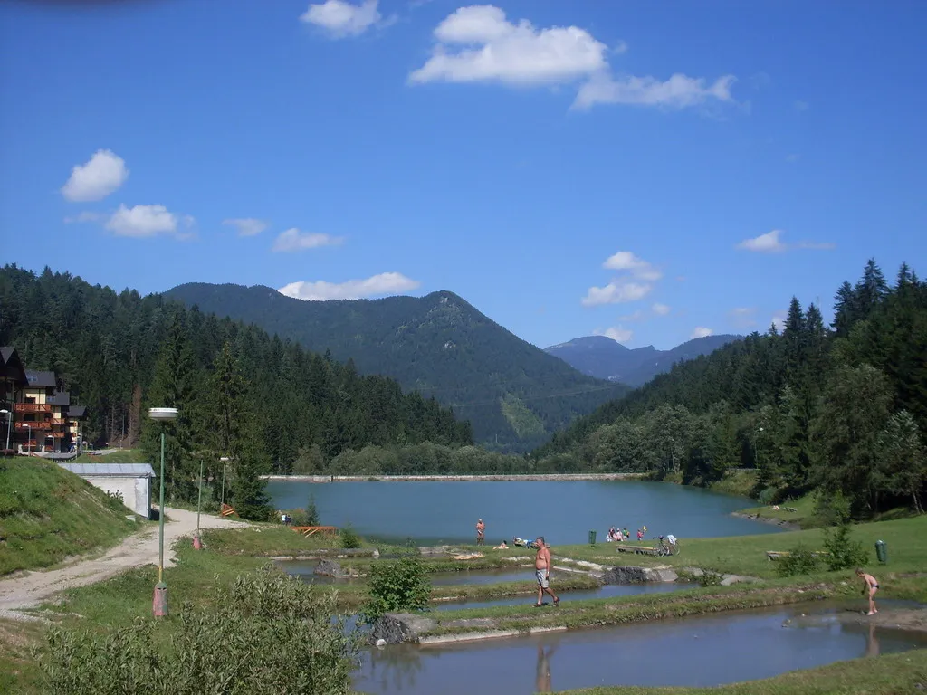
This gravel road route is not for the faint-hearted, with a total ascent of 1806 meters over a distance of 59 kilometers. Suitable for experienced cyclists, this route promises an adrenaline rush and breathtaking views. Highlights include Kladnatá, Valašská Bystřice, and Vlčina, each offering unique attractions and challenging terrain. Scored between 1 and 5, the highlights along the route range from relatively unremarkable to stunning spots.
![Map miniature of "The Ultimate Road Cycling Challenge" cycling inspiration in Moravskoslezsko, Czech Republic. Generated by Tarmacs.app cycling route planner](https://images.tarmacs.app/cycling-routes/routemaps/600/czech-republic/moravskoslezsko/frenstat-pod-radhostem/road/273567.webp)
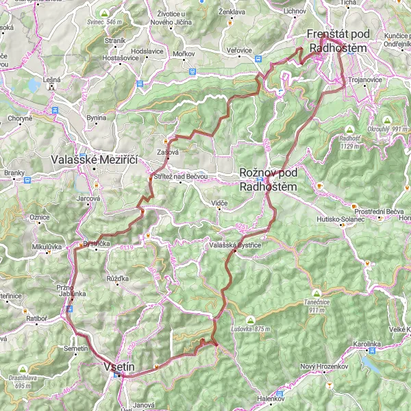
Embark on this epic road cycling adventure with challenging climbs
Prepare to push your limits on this road cycling route with a total ascent of 2175 meters and a distance of 110 kilometers. This challenging route is suitable for experienced cyclists seeking a thrilling and rewarding adventure. Highlights include Radniční věž, Zbojnická, and Radegast, each offering unique attractions and legendary climbs. Scored between 1 and 5, the highlights along the route range from relatively unremarkable to country-wide famous ones.
![Map miniature of "Frenštát pod Radhoštěm - Tichavská hůrka Loop" cycling inspiration in Moravskoslezsko, Czech Republic. Generated by Tarmacs.app cycling route planner](https://images.tarmacs.app/cycling-routes/routemaps/600/czech-republic/moravskoslezsko/frenstat-pod-radhostem/road/273504.webp)
Embark on a challenging ride from Frenštát pod Radhoštěm to Tichavská hůrka
Discover the beauty of the Moravskoslezsko region on this challenging round-trip cycling route from Frenštát pod Radhoštěm to Tichavská hůrka. With a distance of 113 kilometers and an ascent of 1090 meters, this route is great for experienced cyclists.
![Map miniature of "Exploring the Nature Trails of Frenštát pod Radhoštěm" cycling inspiration in Moravskoslezsko, Czech Republic. Generated by Tarmacs.app cycling route planner](https://images.tarmacs.app/cycling-routes/routemaps/600/czech-republic/moravskoslezsko/frenstat-pod-radhostem/gravel/273705.webp)
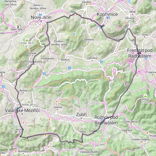
Immerse yourself in the stunning natural beauty of Frenštát pod Radhoštěm on this gravel ride
This round-trip cycling route near Frenštát pod Radhoštěm offers an immersive experience in the beautiful nature of Moravskoslezsko. With a distance of 85 kilometers and an elevation gain of 2032 meters, it is suitable for well-trained amateur cyclists seeking a challenging adventure. The route features a mix of gravel roads and scenic trails, offering a variety of terrain and breathtaking views.
![Map miniature of "Discover the Hidden Gems on Gravel Roads" cycling inspiration in Moravskoslezsko, Czech Republic. Generated by Tarmacs.app cycling route planner](https://images.tarmacs.app/cycling-routes/routemaps/600/czech-republic/moravskoslezsko/frenstat-pod-radhostem/gravel/273522.webp)
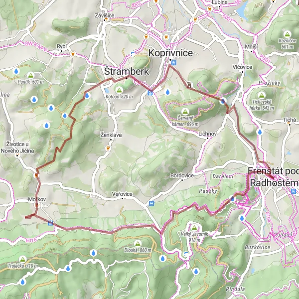
Unleash your adventurous spirit on this gravel road route
Take a detour from the well-trodden path and explore lesser-known destinations on this gravel road route. With a total ascent of 897 meters and a distance of 38 kilometers, this route offers breathtaking views and hidden gems waiting to be discovered. Highlights include Frenštát pod Radhoštěm, Hlásnice, and Bezručova vyhlídka. Scored between 1 and 5, the highlights along the route range from unremarkable to stunning spots.
Scenic Road Cycling Adventure
![Map miniature of "Scenic Road Cycling Adventure" cycling inspiration in Moravskoslezsko, Czech Republic. Generated by Tarmacs.app cycling route planner](https://images.tarmacs.app/cycling-routes/routemaps/600/czech-republic/moravskoslezsko/frenstat-pod-radhostem/road/273512.webp)
Explore the scenic landscapes on this road cycling route
Experience the beauty of the region on this road cycling route with a total ascent of 955 meters and a distance of 71 kilometers. Suitable for moderately experienced cyclists, this route offers panoramic views and picturesque villages. Highlights include Frenštát pod Radhoštěm, Mořkov, and Peklisko, each with its own unique attractions. Scored between 1 and 5, the highlights along the route range from unremarkable to attractive spots.
![Map miniature of "Frenštát pod Radhoštěm - Lichnov Loop" cycling inspiration in Moravskoslezsko, Czech Republic. Generated by Tarmacs.app cycling route planner](https://images.tarmacs.app/cycling-routes/routemaps/600/czech-republic/moravskoslezsko/frenstat-pod-radhostem/road/273505.webp)
Explore the scenic landscapes from Frenštát pod Radhoštěm to Lichnov
Enjoy the natural beauty of Moravskoslezsko on this cycling route from Frenštát pod Radhoštěm to Lichnov. The route covers a distance of 73 kilometers and includes an ascent of 1155 meters.
![Map miniature of "Frenštát pod Radhoštěm - Holý vrch Loop" cycling inspiration in Moravskoslezsko, Czech Republic. Generated by Tarmacs.app cycling route planner](https://images.tarmacs.app/cycling-routes/routemaps/600/czech-republic/moravskoslezsko/frenstat-pod-radhostem/road/273516.webp)
Cycling through the scenic routes from Frenštát pod Radhoštěm to Holý vrch
This round-trip cycling route takes you from Frenštát pod Radhoštěm to Holý vrch and back, covering a distance of 82 kilometers and ascending 1040 meters. The route offers beautiful views of the surrounding countryside and several highlights along the way.
![Map miniature of "The Historical Gravel Cycling Adventure" cycling inspiration in Moravskoslezsko, Czech Republic. Generated by Tarmacs.app cycling route planner](https://images.tarmacs.app/cycling-routes/routemaps/600/czech-republic/moravskoslezsko/frenstat-pod-radhostem/gravel/273506.webp)
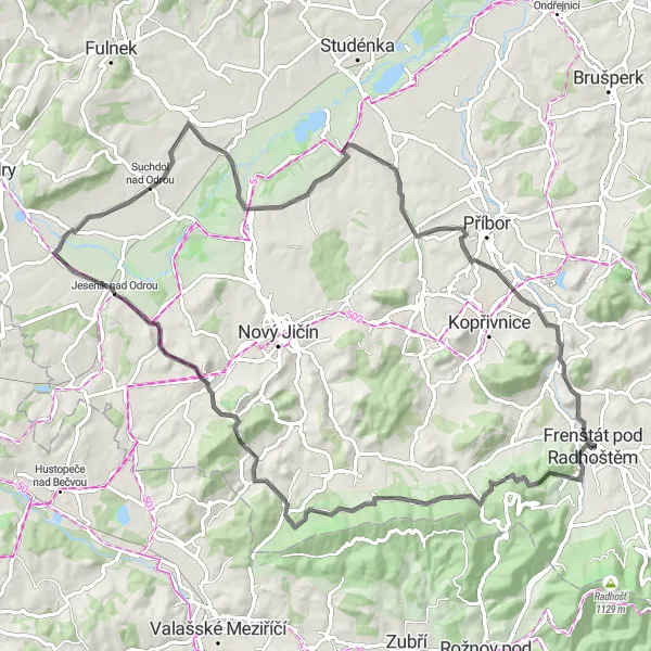
Experience the rich history of the region on this gravel cycling route
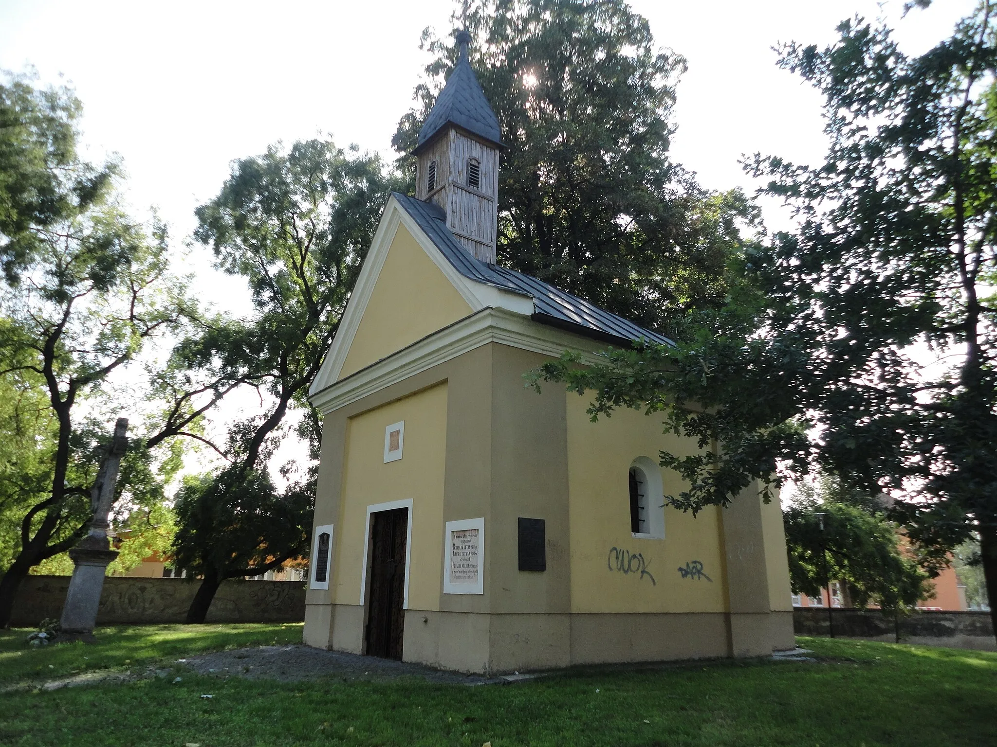
This route takes you through scenic landscapes and ancient villages, allowing you to immerse yourself in the history and culture of the region. With a total ascent of 1368 meters and a distance of 99 kilometers, this challenging route is suitable for well-trained amateurs. The route highlights include Holý vrch, Nová Horka, and Staříč, each offering unique attractions and picturesque views. Scored between 1 and 5, the highlights along the route range from attractive spots to country-wide famous ones.
![Map miniature of "Frenštát pod Radhoštěm - Holý vrch Extended Loop" cycling inspiration in Moravskoslezsko, Czech Republic. Generated by Tarmacs.app cycling route planner](https://images.tarmacs.app/cycling-routes/routemaps/600/czech-republic/moravskoslezsko/frenstat-pod-radhostem/road/273549.webp)
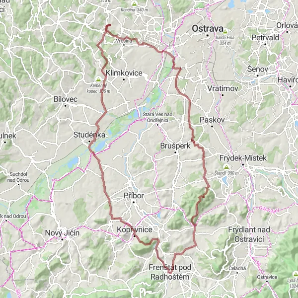
Embark on an epic journey from Frenštát pod Radhoštěm to Holý vrch
Take on the challenge of this extended round-trip cycling route from Frenštát pod Radhoštěm to Holý vrch and back. With a distance of 121 kilometers and an ascent of 1914 meters, this route is ideal for experienced cyclists seeking an unforgettable adventure.
Cycling routes nearby:
![Image of Tichá](https://images.tarmacs.app/cycling-routes/covers/czech-republic/moravskoslezsko/ticha-4.webp)
![Image of Kunčice pod Ondřejníkem](https://images.tarmacs.app/cycling-routes/covers/czech-republic/moravskoslezsko/kuncice-pod-ondrejnikem-5.webp)
![Image of Trojanovice](https://images.tarmacs.app/cycling-routes/covers/czech-republic/moravskoslezsko/trojanovice-5.webp)
![Image of Kozlovice](https://images.tarmacs.app/cycling-routes/covers/czech-republic/moravskoslezsko/kozlovice-5.webp)
![Image of Veřovice](https://images.tarmacs.app/cycling-routes/covers/czech-republic/moravskoslezsko/verovice-1.webp)
![Image of Kopřivnice](https://images.tarmacs.app/cycling-routes/covers/czech-republic/moravskoslezsko/koprivnice-2.webp)
![Image of Štramberk](https://images.tarmacs.app/cycling-routes/covers/czech-republic/moravskoslezsko/stramberk-5.webp)
![Image of Hukvaldy](https://images.tarmacs.app/cycling-routes/covers/czech-republic/moravskoslezsko/hukvaldy-5.webp)
![Image of Čeladná](https://images.tarmacs.app/cycling-routes/covers/czech-republic/moravskoslezsko/celadna-4.webp)
Nearby regions:
![Image of Severovýchod](https://images.tarmacs.app/cycling-routes/covers/czech-republic/severovychod/mestecko-trnavka-5.webp)
![Image of Jihovýchod](https://images.tarmacs.app/cycling-routes/covers/czech-republic/jihovychod/zgar-nad-sazavou-1.webp)
![Image of Střední Morava](https://images.tarmacs.app/cycling-routes/covers/czech-republic/stredni-morava/slavicin-2.webp)
![Image of Małopolskie](https://images.tarmacs.app/cycling-routes/covers/poland/malopolskie/tarnawa-dolna-5.webp)
![Image of Śląskie](https://images.tarmacs.app/cycling-routes/covers/poland/slaskie/czerwionka-leszczyny-5.webp)
![Image of Dolnośląskie](https://images.tarmacs.app/cycling-routes/covers/poland/dolnoslaskie/mieroszow-4.webp)
![Image of Opolskie](https://images.tarmacs.app/cycling-routes/covers/poland/opolskie/glucholazy-4.webp)
![Image of Západné Slovensko](https://images.tarmacs.app/cycling-routes/covers/slovakia/zapadne-slovensko/nove-zamky-5.webp)
![Image of Stredné Slovensko](https://images.tarmacs.app/cycling-routes/covers/slovakia/stredne-slovensko/ruzomberok-2.webp)