Discover the tranquility and scenic routes in Tichá, a paradise for cyclists.
Cycling routes from Ticha
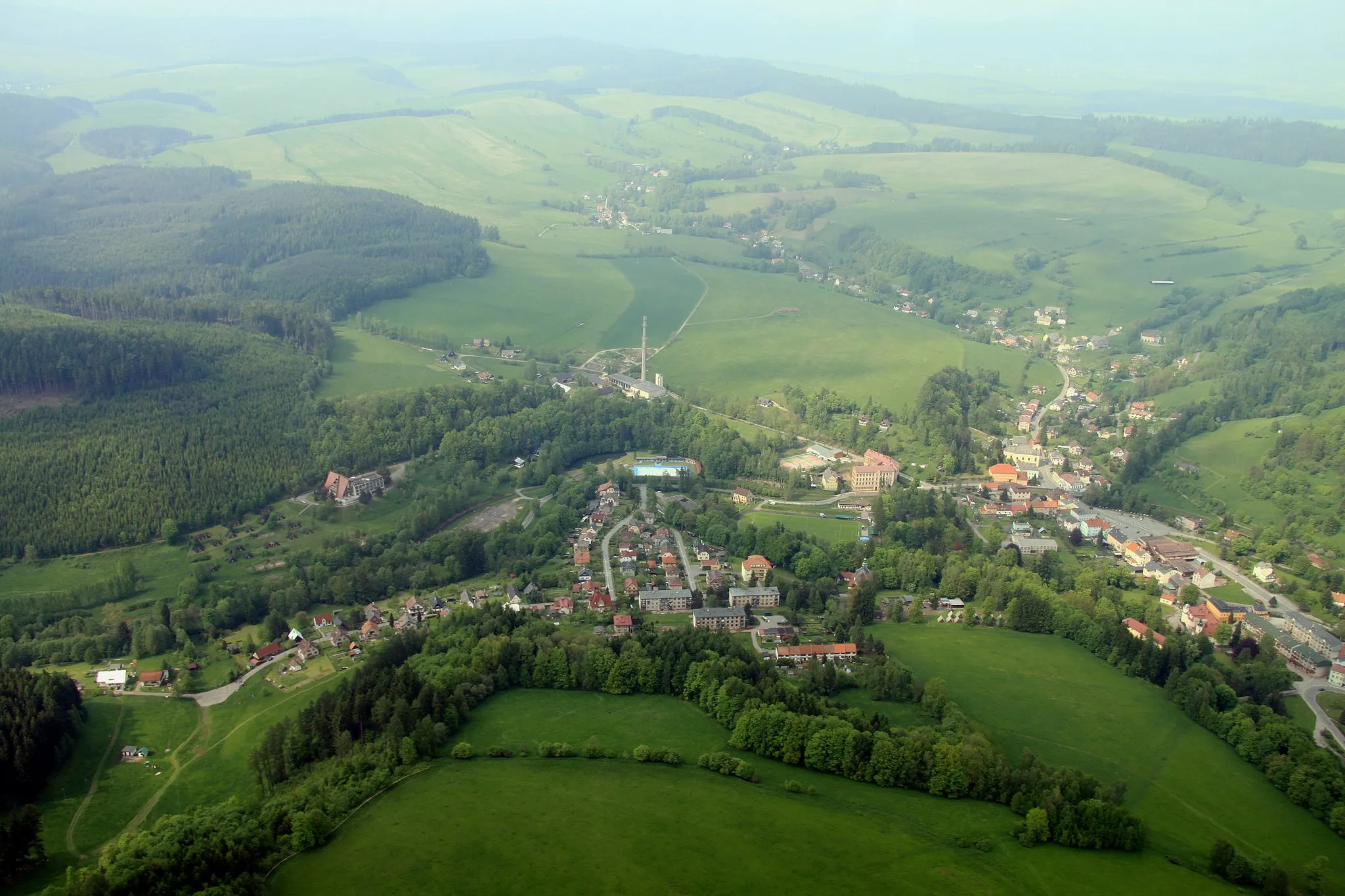
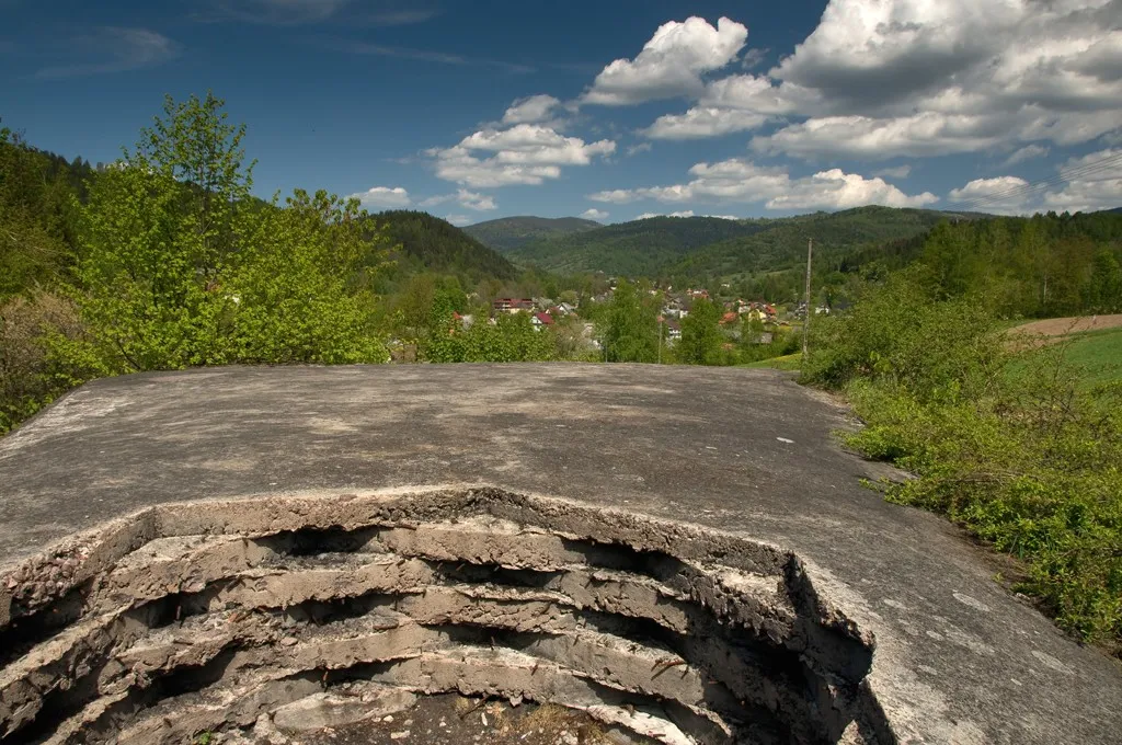
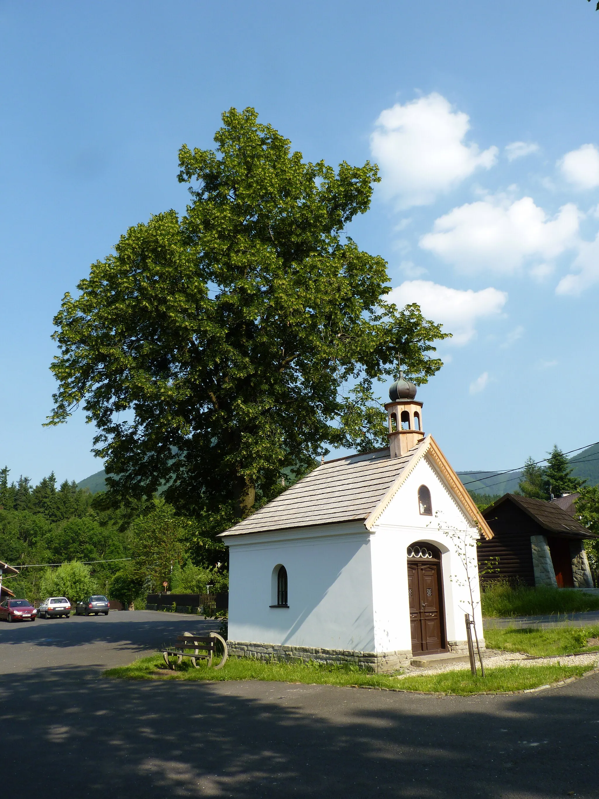
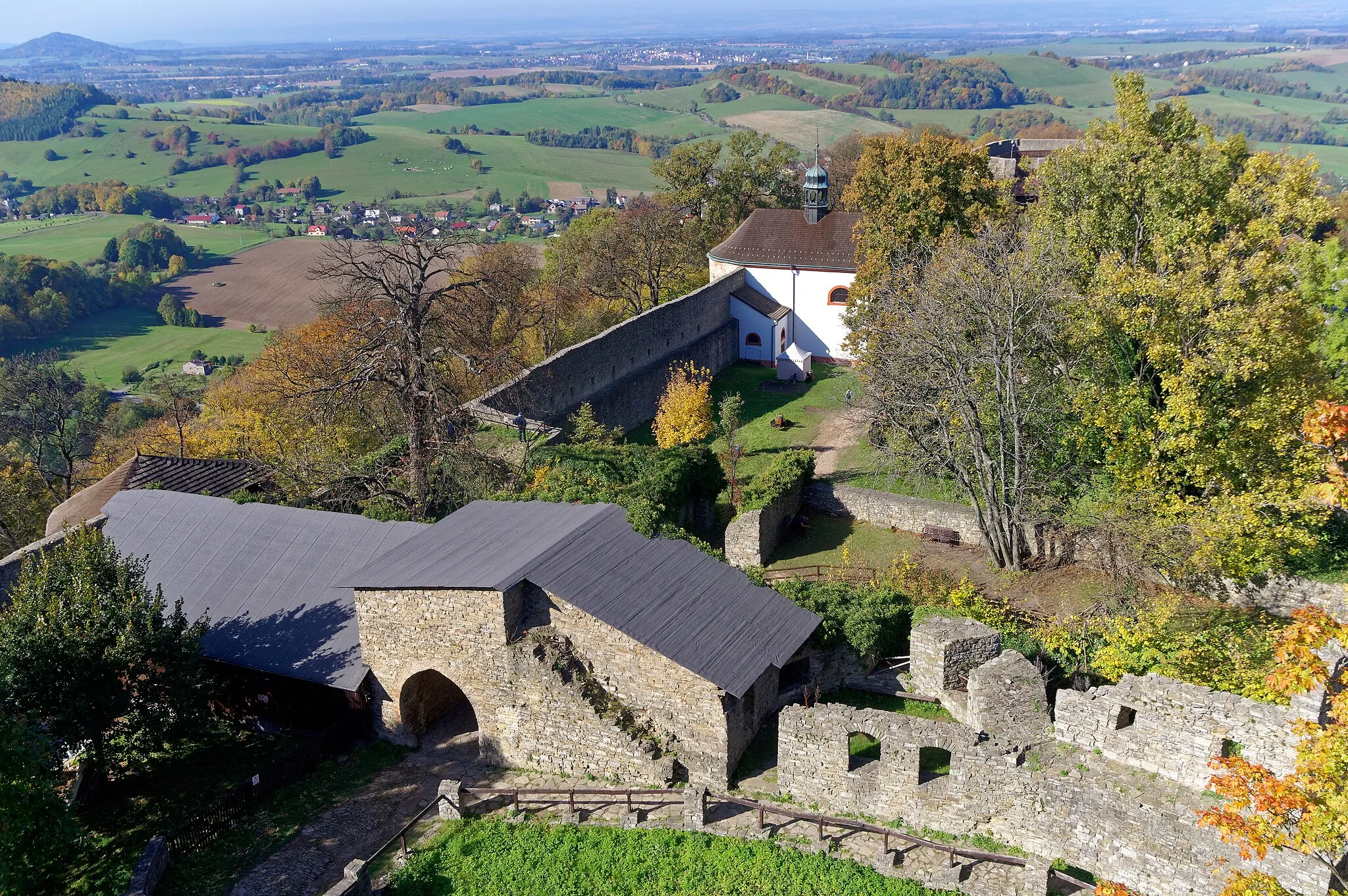
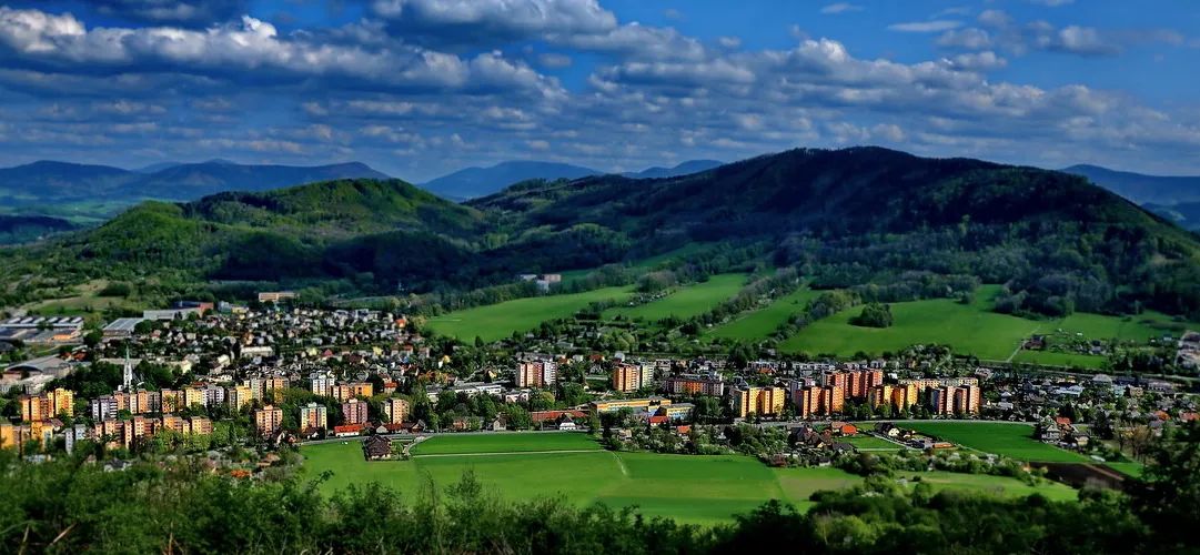
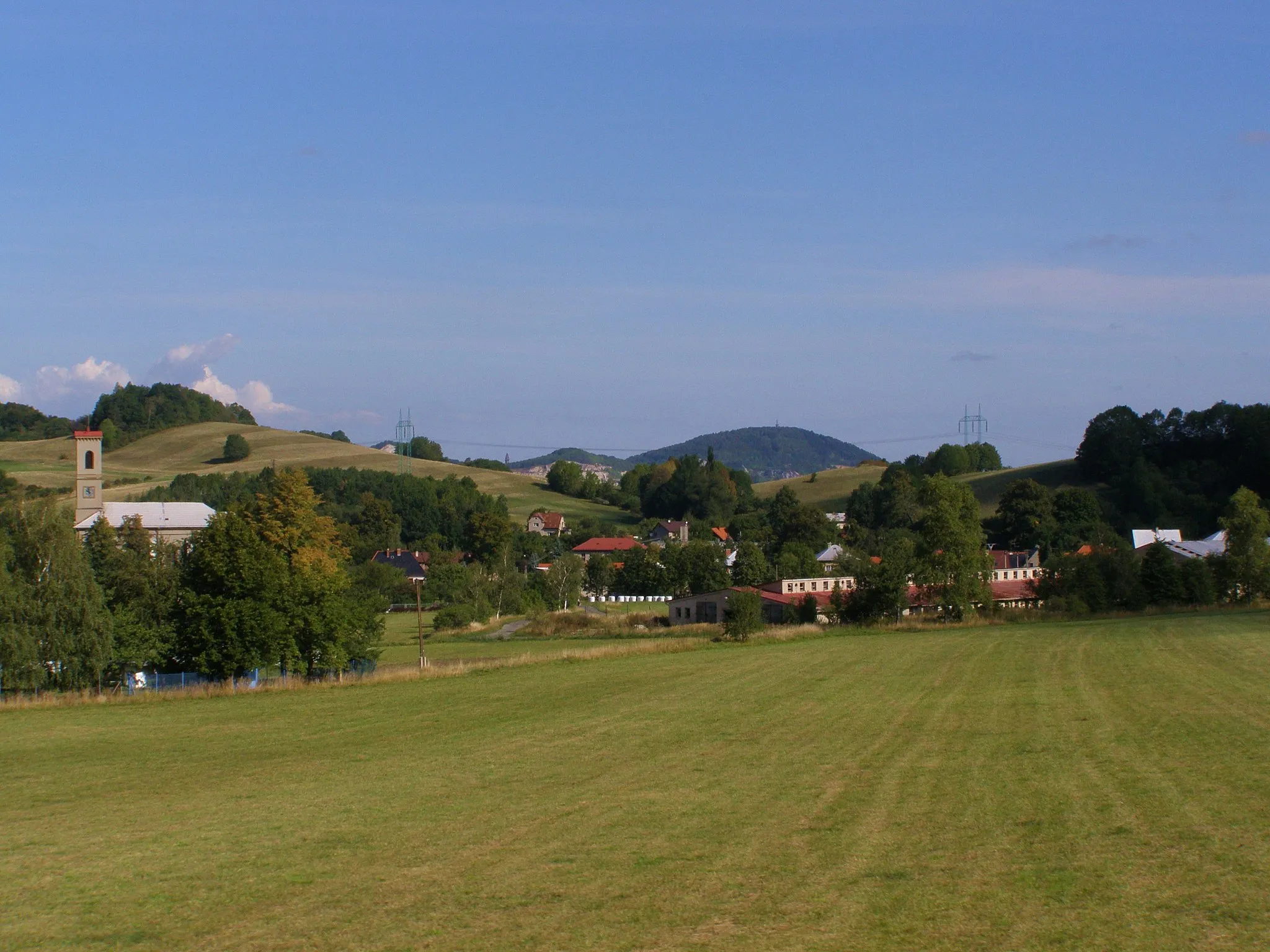
Tichá is a picturesque locality situated in Moravskoslezsko region of Czech Republic. For road and gravel cyclists, Tichá offers a delightful experience with its quiet and well-maintained roads. It is surrounded by beautiful countryside and forests, making it a perfect place for scenic rides. Tichá is also known for its proximity to the village of Velké Karlovice, which is famous for its cycling festival and attracts cycling enthusiasts from various parts of the region. Additionally, there are several notable climbs in the vicinity, such as the Janův vrch, which provide a satisfying challenge for experienced cyclists. With its serene atmosphere and excellent cycling opportunities, Tichá is a must-visit destination for those who love to explore on two wheels.
The Gravel Adventure
An off-road gravel cycling route packed with natural charms
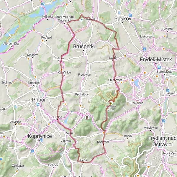
Ideal for those seeking an off-road adventure, this gravel cycling route near Tichá covers a distance of 36 km with an ascent of 656 meters. The path provides an exhilarating cross-country experience, blending bumpy terrains with beautiful landscapes. The difficulty level for this route stands at 2 out of 5, making it suitable for intermediate riders. With an epicness factor of 3, this route offers scenic beauty along the way. From unique natural landmarks like 'Tichavská hůrka' to charming villages like 'Fryčovice' and 'Kozlovice', cyclists will be captivated by the diverse highlights throughout the journey.
Challenging gravel route through the Beskydy region
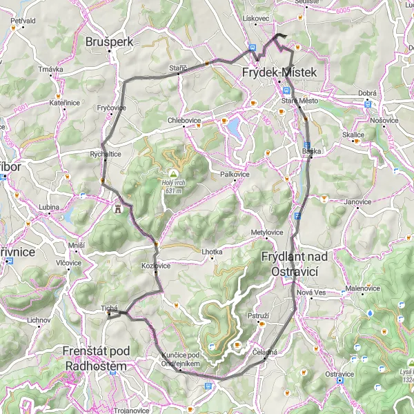
This gravel route takes you through the scenic Beskydy region, famous for its beautiful mountain landscapes and charming villages. With a total ascent of 871m and a distance of 69km, it is suitable for well-trained cyclists. The route starts in Tichá and goes through Kozlovice, Kubánkov, Štandl, and Pazderna, offering riders stunning views and a variety of terrains to conquer. The highlight of this route is the Zámek ve Frýdku-Místku, a historic castle with a museum showcasing the heritage of the Beskydy region. The Beskydy Gravel Circuit is an epic adventure for gravel enthusiasts.
A picturesque gravel route showcasing the cultural heritage of Kopřivnice and Příbor
This gravel route takes you through two historically significant towns, Kopřivnice and Příbor. With a total ascent of 793m and a distance of 47km, it is suitable for cyclists seeking a moderate challenge. Starting in Tichá, the route passes through Holý vrch, Kopřivnice, Příbor, Hončova hůrka, Chlebovice, and ends in Tábor. Along the way, you will have the opportunity to explore the charm of Kopřivnice, known as the birthplace of Tatra cars and home to a fascinating museum dedicated to automobile history. In Příbor, you can visit the birthplace of the famous philosopher Sigmund Freud. This route offers a mix of natural beauty and cultural experiences.
Jurkovičova rozhledna - Road
A road route with a stunning view from Jurkovičova rozhledna
This road cycling route near Tichá takes you to Jurkovičova rozhledna, a lookout tower known for its breathtaking panoramic views. With a distance of 71 km and an ascent of 1199 meters, this route is suitable for experienced cyclists. The route also passes through other highlights such as Rožnov pod Radhoštěm and Kyčerka. Overall, this route offers a challenging but rewarding cycling experience.
Gravel adventure with a visit to Tichavská hůrka
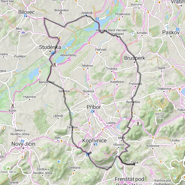
This gravel cycling route starting near Tichá takes you on an adventurous journey with a visit to Tichavská hůrka, a natural monument known for its unique rock formations. With a distance of 53 km and an ascent of 898 meters, this route is suitable for intermediate level gravel cyclists. The route also includes other highlights such as Lubina and Kateřinice. Overall, this route offers a mix of off-road challenges and scenic beauty.
Road cycling with a visit to Tábor
This road cycling route starting near Tichá takes you on a scenic journey with a visit to Tábor, a historic town known for its rich heritage and preserved medieval architecture. With a distance of 59 km and an ascent of 439 meters, this route is suitable for cyclists of all levels. The route also includes other highlights such as Kozlovice and Rychaltice. Overall, this route offers a pleasant and diverse cycling experience with cultural attractions and picturesque landscapes.
Frenštát pod Radhoštěm - Gravel
Gravel adventure to Frenštát pod Radhoštěm
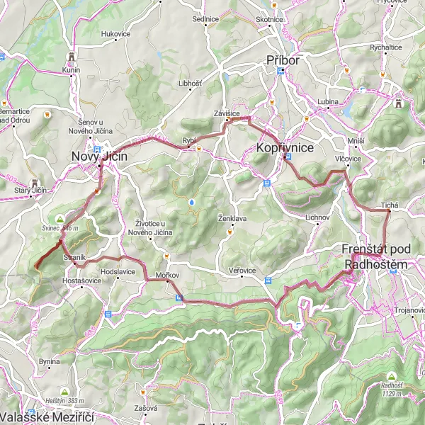
This gravel cycling route starting near Tichá takes you on an adventurous journey to Frenštát pod Radhoštěm, a historic town known for its cultural heritage and beautiful surroundings. With a distance of 56 km and an ascent of 1075 meters, this route is suitable for experienced gravel cyclists. The route includes other highlights such as Vlčina and Krátká. Overall, this route offers a challenging off-road experience with an opportunity to discover the rich history and natural beauty of the region.
A scenic and diverse road cycling route with historical landmarks
Spanning a total distance of 71 km and an ascent of 603 meters, this road cycling route provides both physical and cultural exploration near Tichá. With a difficulty level of 3 out of 5, this route is suitable for well-trained amateur cyclists. The epicness factor for this journey would be 4, thanks to the magnificent landscapes and historical landmarks along the way. From historical sites like 'Štramberská trúba' and 'Peklisko' to mesmerizing natural beauty at 'Lichnov' and 'Košatka', cyclists will have plenty to admire during this adventure.
Up to the Top
A challenging road cycling route leading to the summit
This road cycling route starting near Tichá takes cyclists on a challenging ascent to a scenic summit. With a total distance of 51 km and an ascent of 748 meters, this path offers both physical exertion and breathtaking views at 'Na vrchu'. The difficulty level of this route would be rated as 3 out of 5, making it suitable for avid cyclists with moderate training. The epicness factor is 4, thanks to the remarkable views at the summit. Along the journey, cyclists can also explore gems like 'Kunčice pod Ondřejníkem', 'Dolní Bečva', 'Ostrý', 'Frenštát pod Radhoštěm', and 'Vrchovina' to further enhance their experience.
Road cycling with a climb to Králova hora
This road cycling route starting near Tichá offers the challenge of climbing to Králova hora, a well-known mountain peak with stunning views. With a distance of 85 km and an ascent of 1559 meters, this route is suitable for experienced road cyclists. The route also includes other highlights such as Palkovice and Raškovice. Overall, this route provides a memorable cycling experience with tough climbs and scenic rewards.
Cycling routes nearby:


Nearby regions: