Around Horní Lomná Gravel Ride
A gravel cycling route starting from Navsi u Jablunkova
Explore the scenic surroundings of Horní Lomná on this gravel ride
Map

This 52 km gravel route takes you on an adventurous journey around Horní Lomná, with a total ascent of 1725 meters. Experience the rugged beauty of the countryside, pass through quaint villages, and enjoy the tranquility of nature. Although shorter than other routes, it still offers a challenging terrain suitable for intermediate cyclists. Make sure to check out the highlights, such as the beautiful village of Jablunkov, Severka Peak, and the scenic Muřinkový Vrch climb. Prepare yourself for an exciting ride packed with picturesque landscapes and local charm.
gravel
52 km
1725 m
Tough
Route profile
Highlights on the route
0 km
0 km
Start: Návsí Village centerNávsí u Jablunkova: Legendary climbs in the Beskydy Mountains
Návsí u Jablunkova, situated in Moravskoslezsko, Czech Republic, provides an excellent base for cyclists looking to conquer challenging climbs and explore the scenic mountainous terrain. The locality is known for being close to the Beskydy Mountains, which offer a paradise for road cyclists seeking thrilling ascents. Both intermediate and advanced riders will find joy in exploring the numerous climbs nearby. With breathtaking views and well-marked routes, Návsí u Jablunkova is a must-visit destination for avid cyclists.1 km
1 km
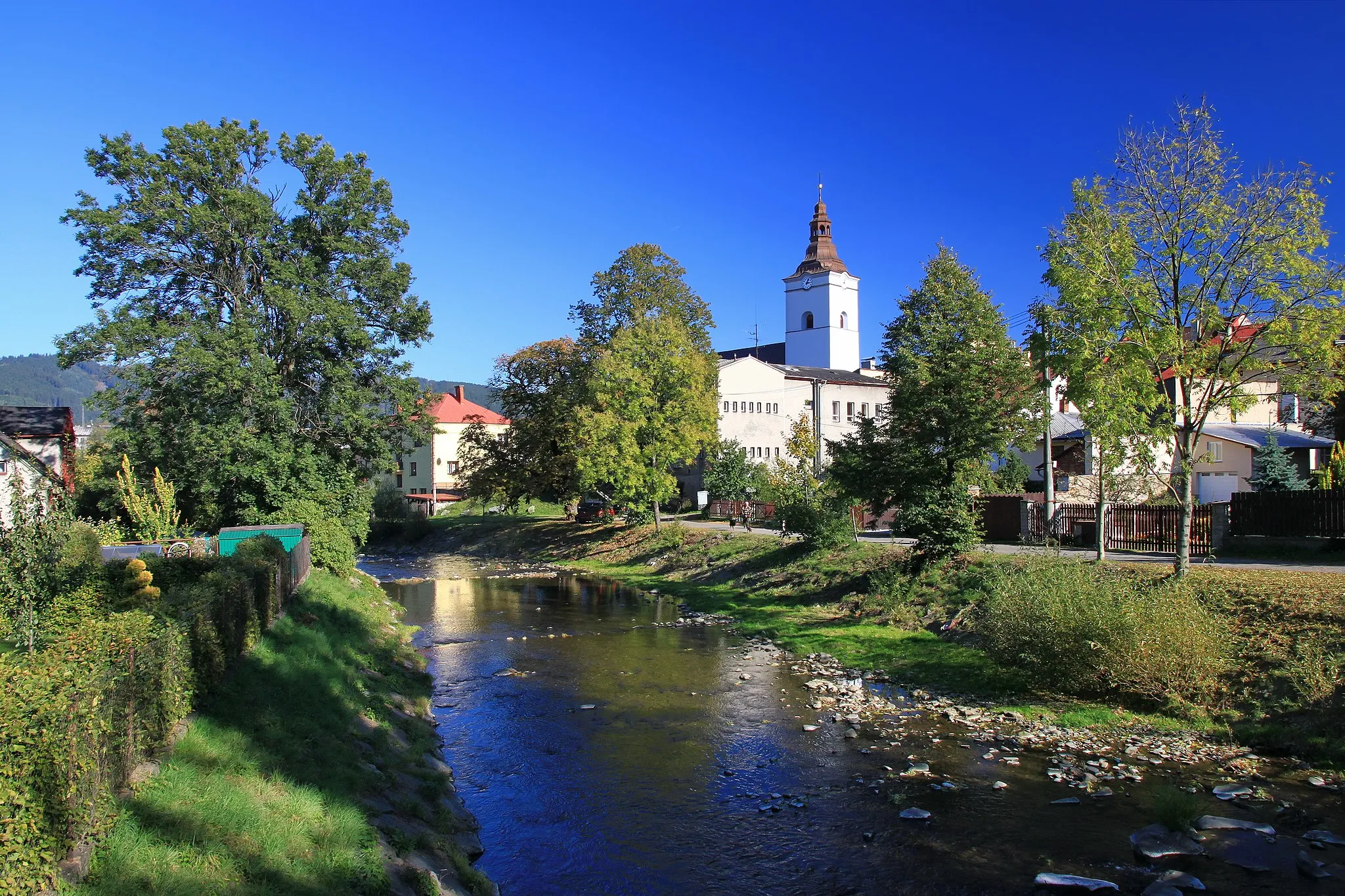
JablunkovTownJablunkov is a charming town with a rich cultural heritage, vibrant festivals, and stunning architectural landmarks.
10 km
10 km
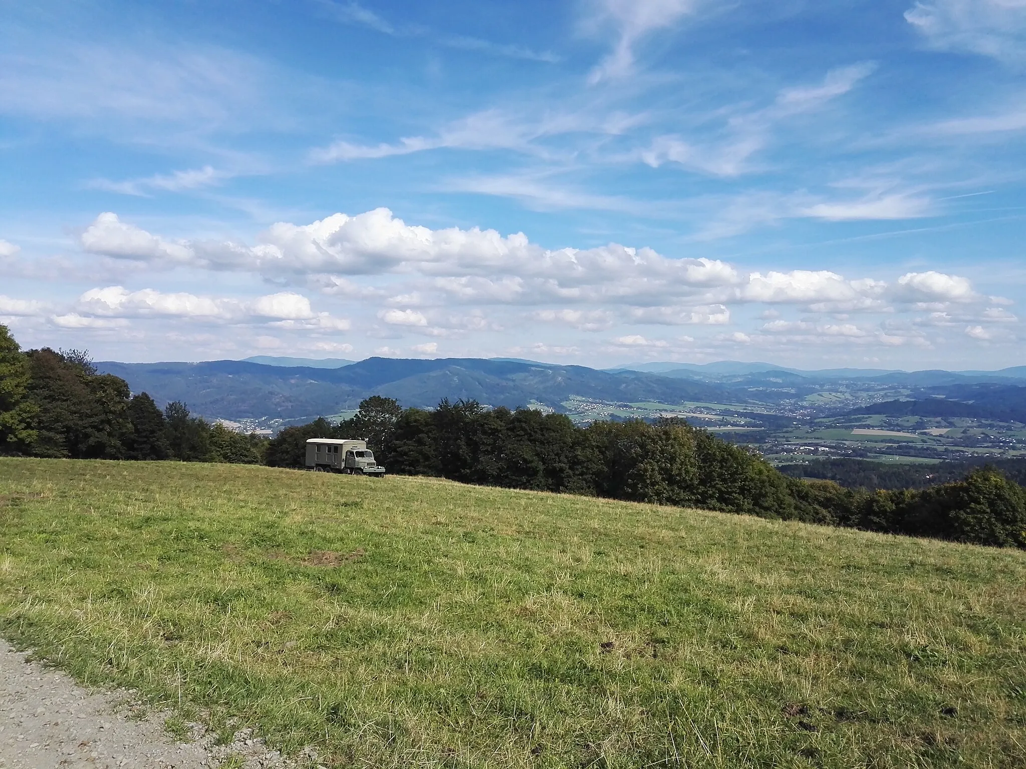
Severka957 mPeakSeverka, located in the heart of the Beskidy Mountains, offers panoramic views from its peak and is a popular destination for hikers and nature lovers.
30 km
30 km
Muřinkový Vrch978 mPeakMuřinkový Vrch is a scenic climb surrounded by lush forests and offers breathtaking views of the surrounding landscape.
36 km
36 km
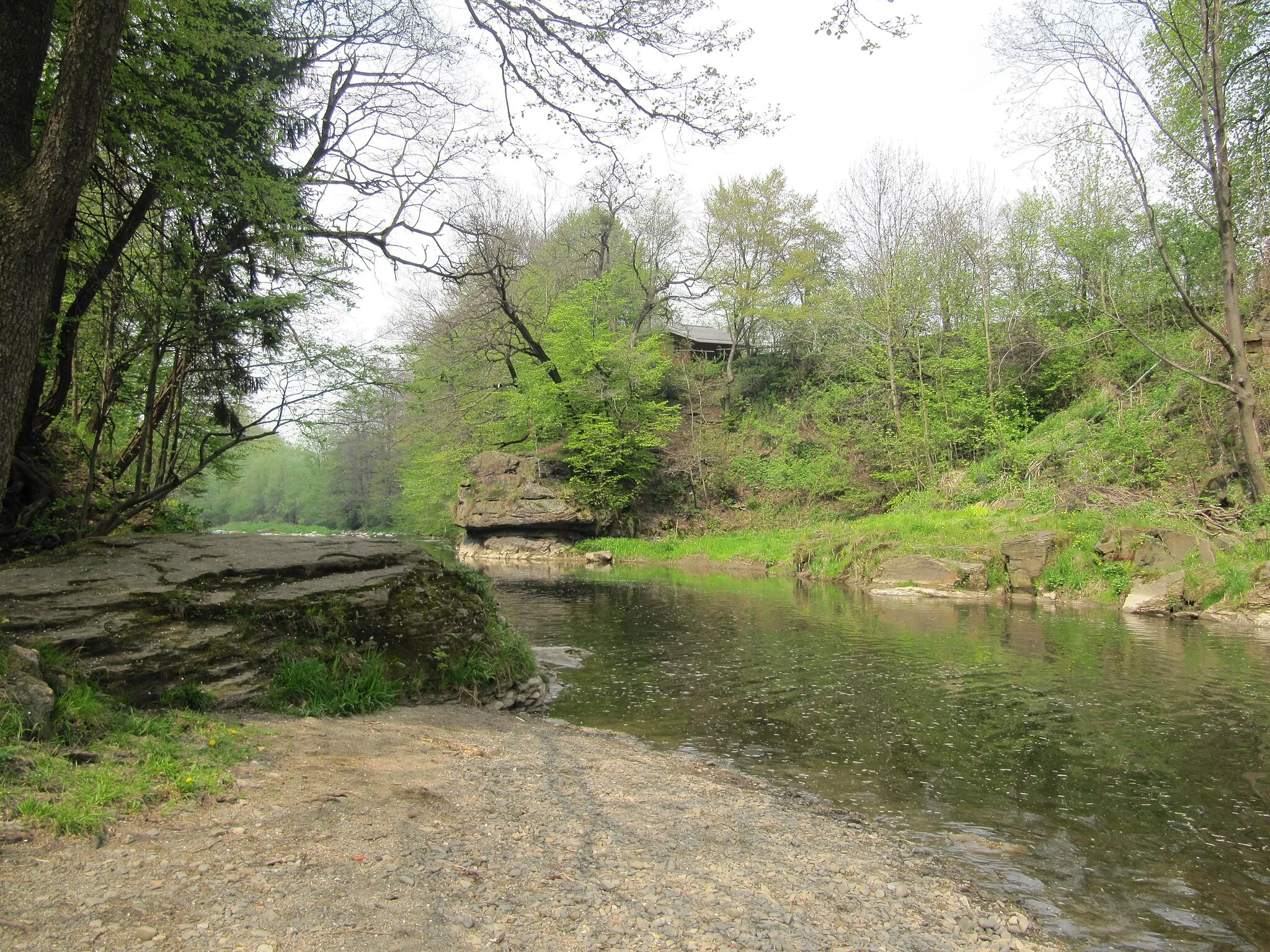
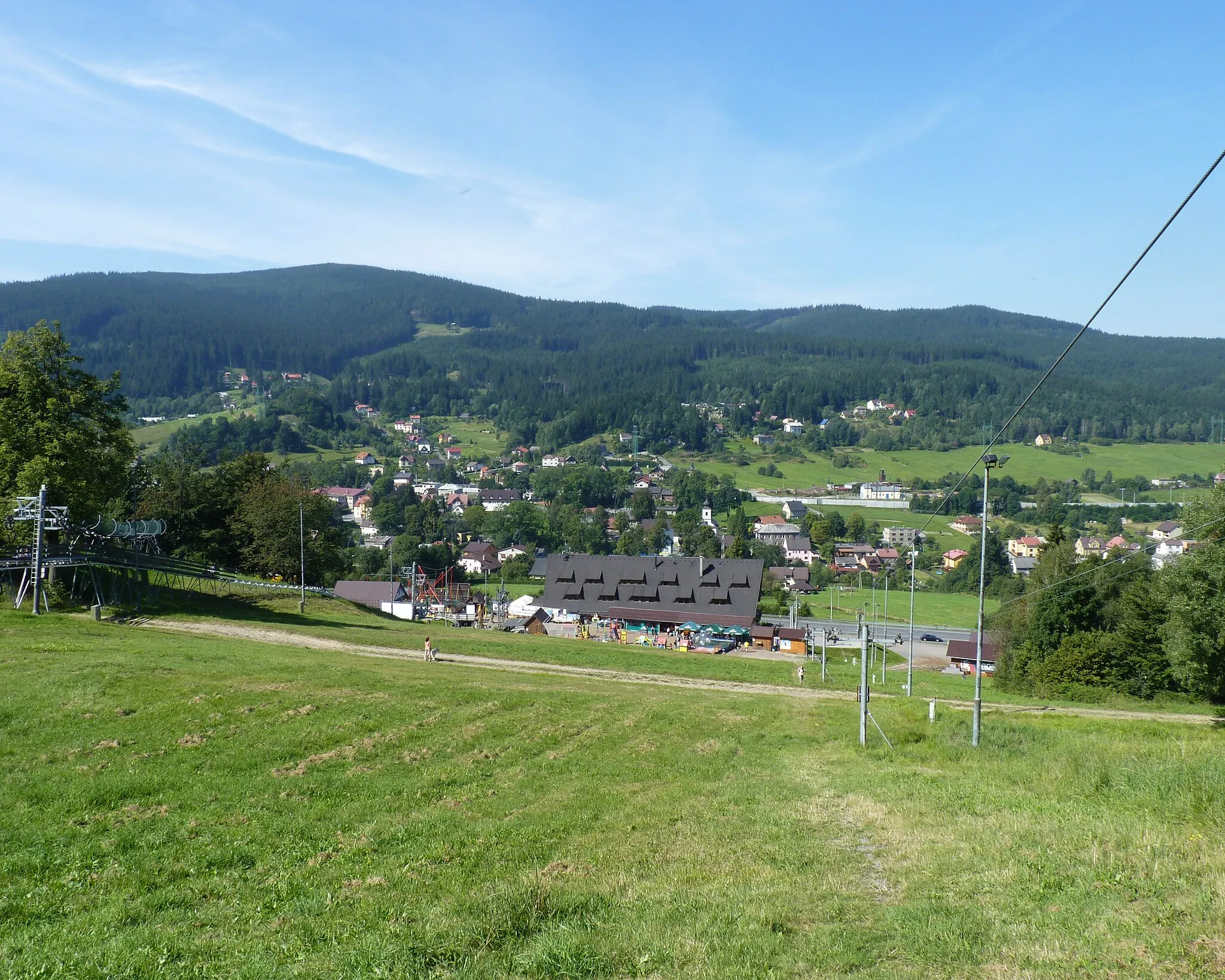
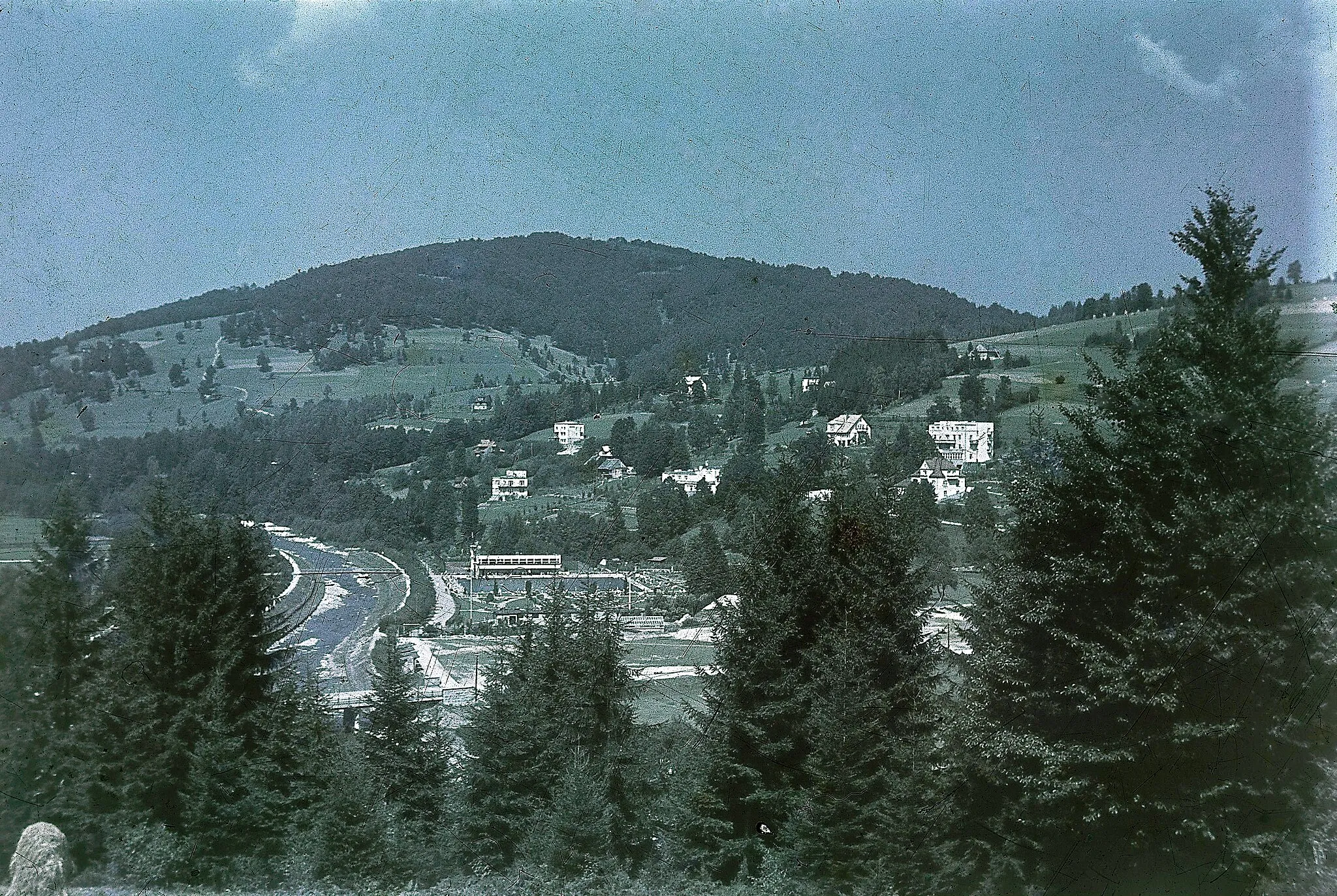
Horní LomnáVillageHorní Lomná is a picturesque village known for its traditional wooden houses, stunning mountain views, and rich folklore.
43 km
43 km
Kozubová982 mPeakKozubová is a cozy spot to rest and recharge with its welcoming atmosphere and stunning vistas.
49 km
49 km
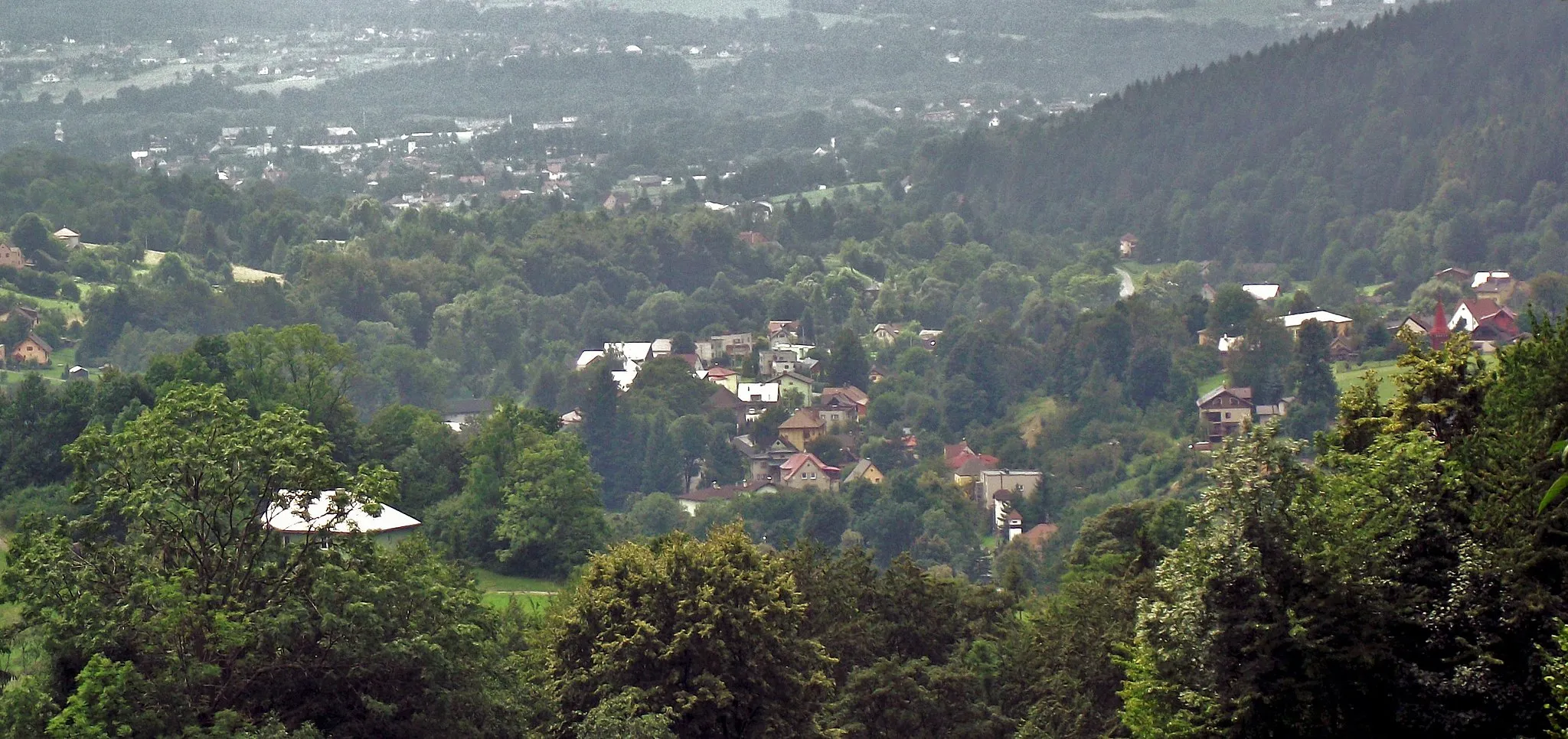
MilíkovVillageMilíkov is a small village famous for its beautiful nature trails, charming countryside, and friendly locals.
52 km
52 km
Finish: Návsí Village centerNávsí u Jablunkova: Legendary climbs in the Beskydy Mountains
Cycling routes from Navsi u Jablunkova:
Gravel Adventure: Návsí to Lysá Jablunkov Circular Road Route Jablunkov Gravel Loop Road Cycling Adventure to Visalaje Around Horní Lomná Gravel Ride Beskydy Loop Třinec to Szczyrk Road Cycling Loop Gravel Adventure to Jablunkov and back Jablunkov to Návsí Gravel Madness Scenic Road Adventure to Bocanovice
Cycling routes nearby: