Around Kobelwiese (Gravel)
A gravel cycling route starting from Harrachov
Uncover the historical ruins and gentle landscapes of Kobelwiese
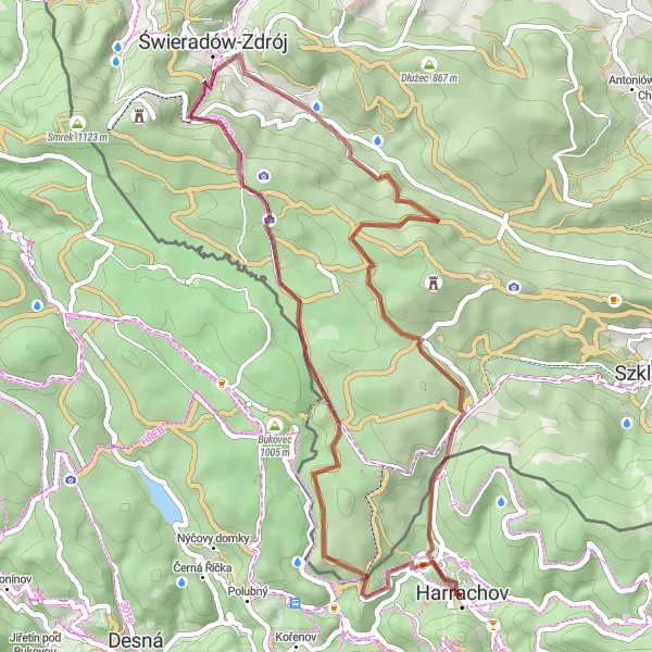
Map
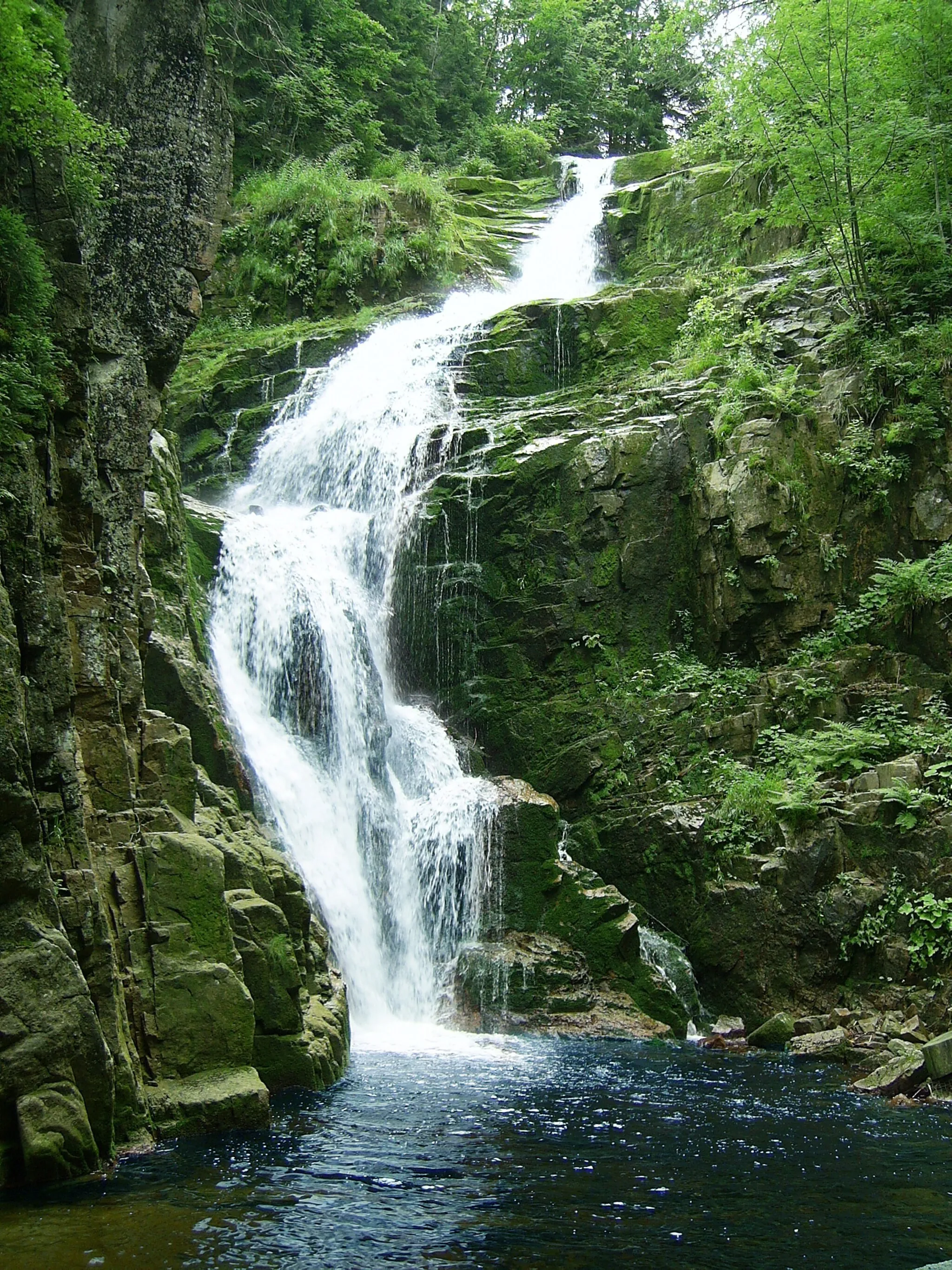
Embark on a gravel adventure around Kobelwiese, where you'll not only witness captivating ruins and gentle terrains but also relish in the mystical atmosphere created by ancient mysteries that lie within this region. The route offers a moderate challenge suitable for well-trained amateurs, accompanied by aesthetic scenery. Get ready for an epic cycling experience that will take you through remarkable highlights that intertwine history and nature.
gravel
47 km
1006 m
Tough
Route profile
Highlights on the route
0 km
0 km
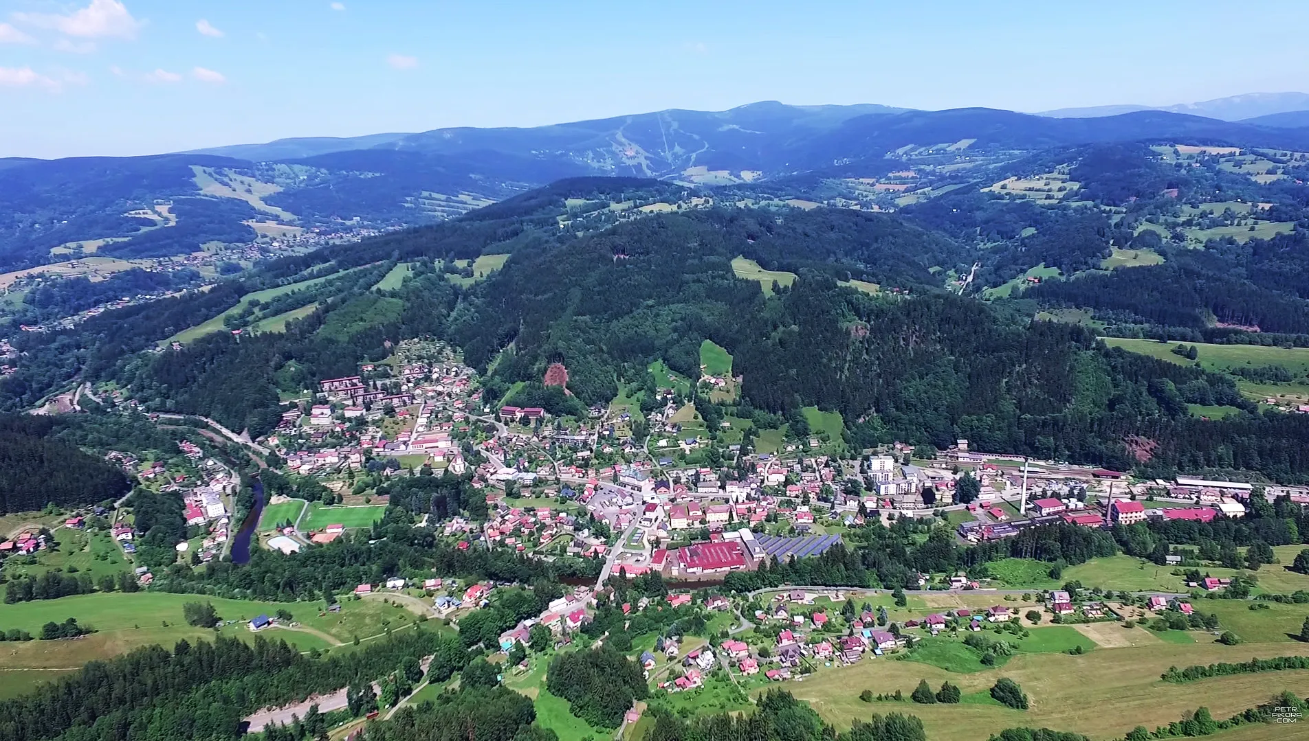
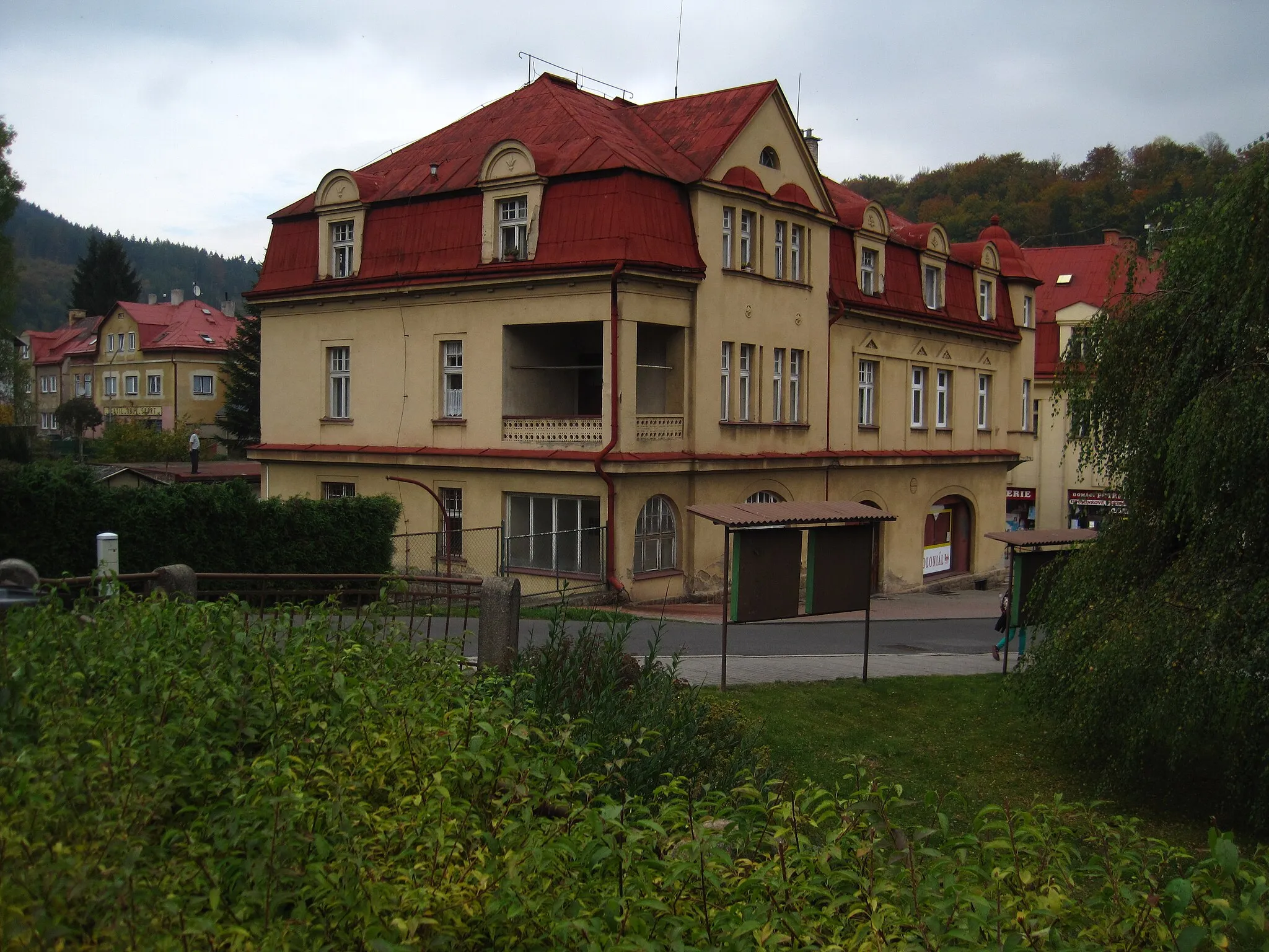
Start: Harrachov City centerHarrachov: Cycling paradise amidst the mountains.
Harrachov, located in the Severovýchod region of the Czech Republic, is a popular destination for cyclists. The town offers various cycling routes, both on and off-road. From a road and gravel cyclist's point of view, Harrachov provides challenging climbs and breathtaking views of the surrounding mountains. One of the well-known cycling spots nearby is Krkonoše National Park, which offers both paved and unpaved cycling trails. Whether you're looking for a leisurely ride or a demanding challenge, Harrachov has it all.10 km
10 km
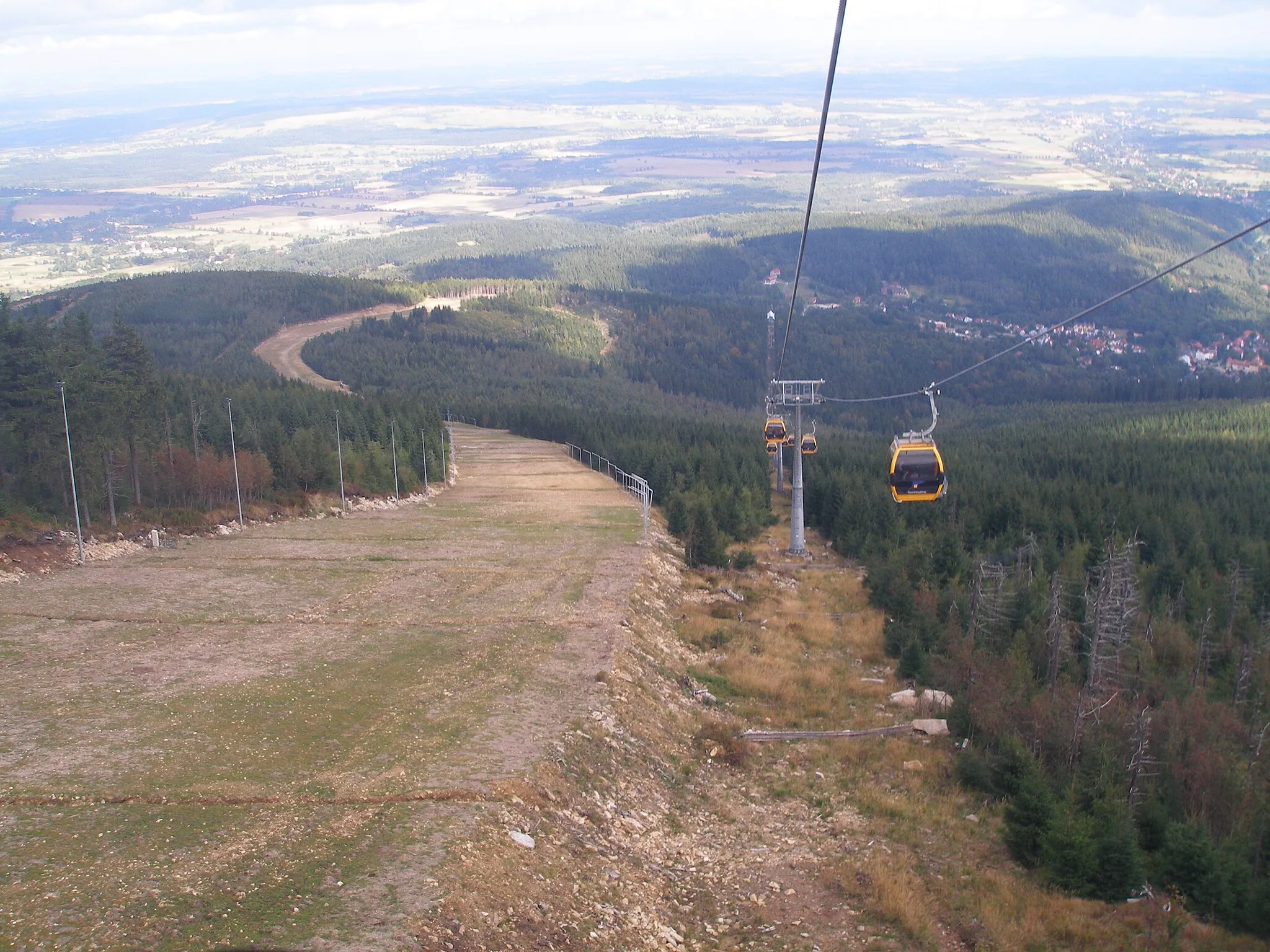
Granicznik875 mPeakDiscover the Granicznik, an ancient landmark that served as a border point between different regions during its time, with a distance of 10 kilometers along the route.
13 km
13 km
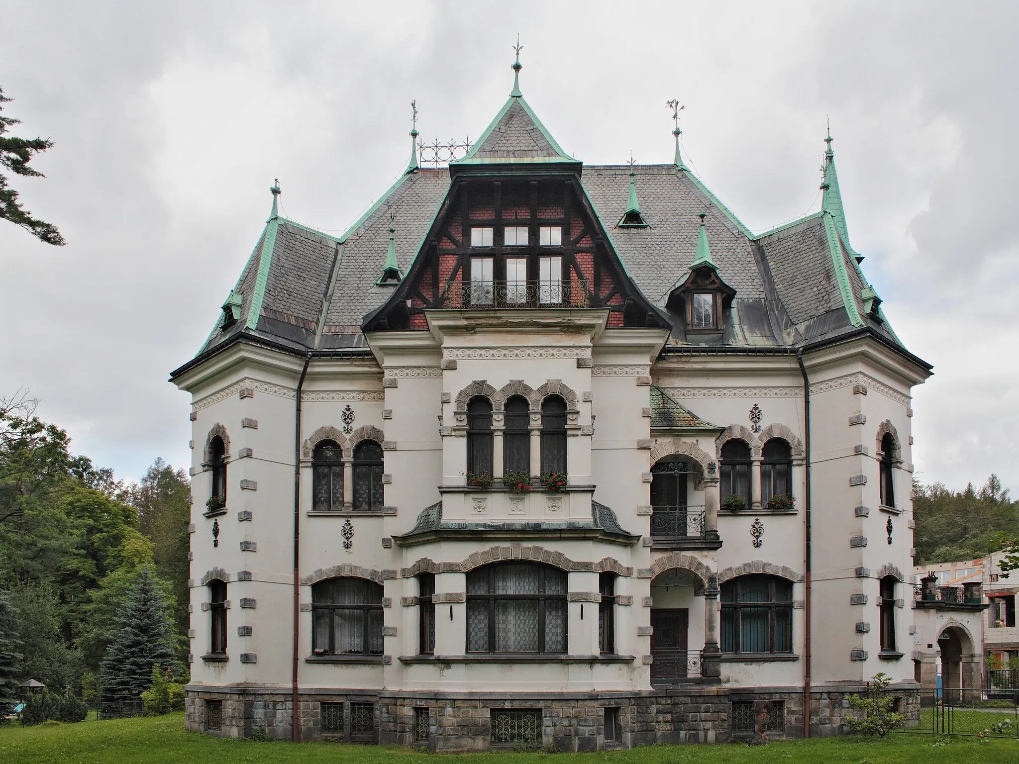
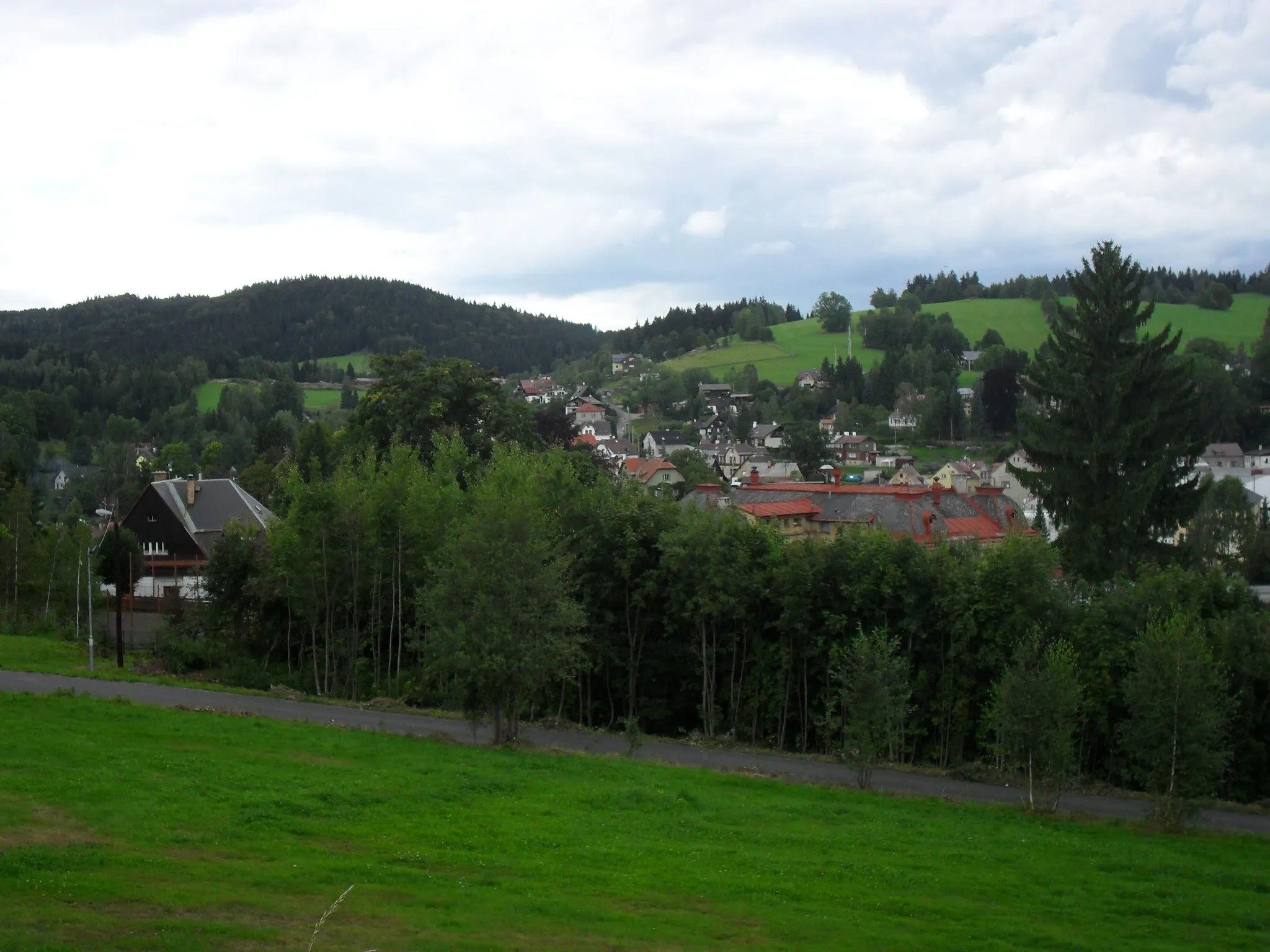
Ruina domu, dawny adres Kobelwiese nr 246AttractionWitness the ruins of the house at the former address Kobelwiese Nr 246, offering a glimpse into the former inhabitants' lives and experiences with just a 13-kilometer detour.
26 km
26 km
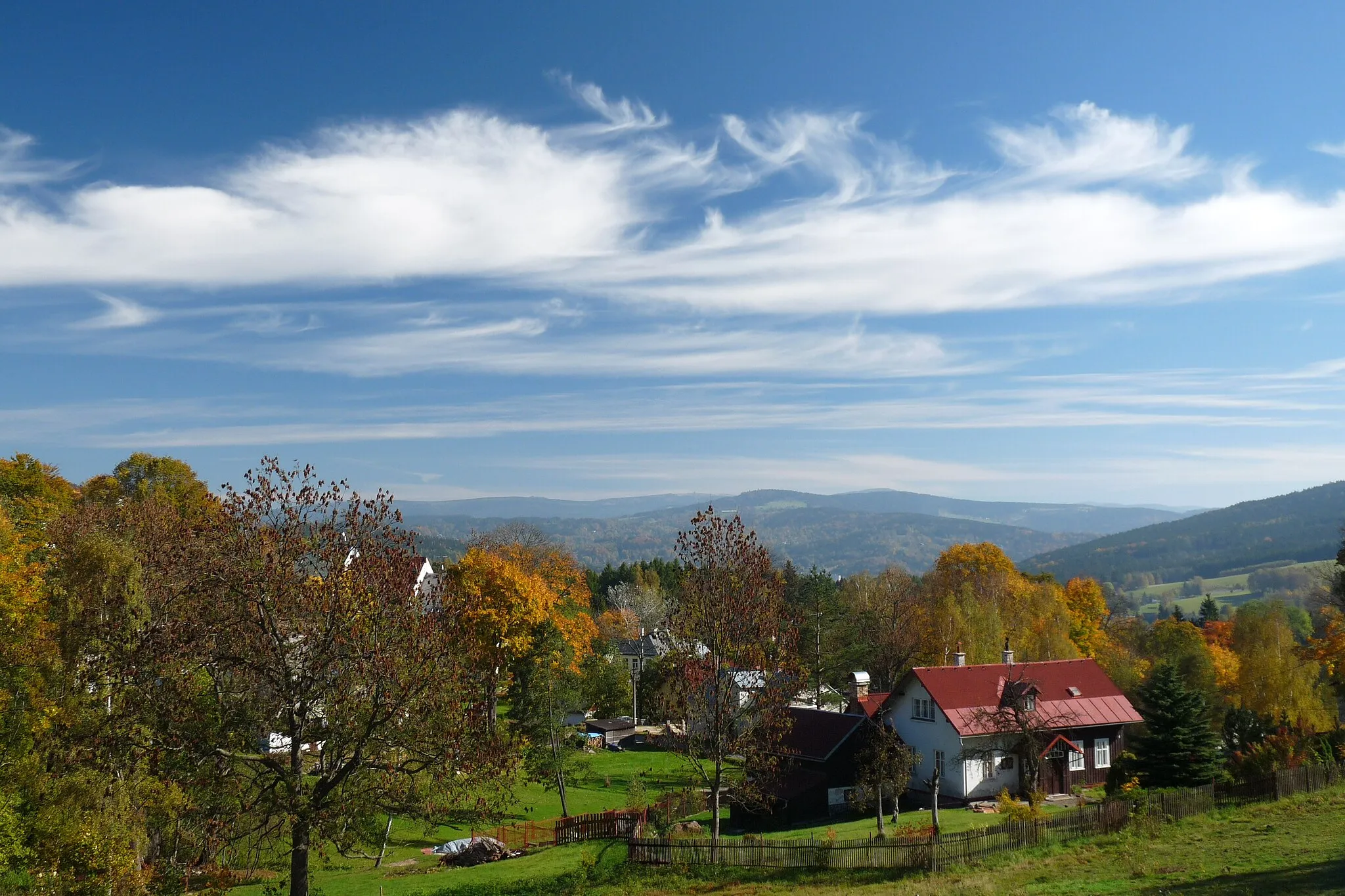
Łagodna610 mPeakExperience the serene beauty of Łagodna, a landscape characterized by its gentle rolling hills, promising a harmonious cycling journey with 26 kilometers along the route.
41 km
41 km
Przełęcz Szklarska886 mMountain PassConquer the challenging Przełęcz Szklarska, a mountain pass that rewards you with stunning panoramic views after a 41-kilometer effort.
41 km
41 km
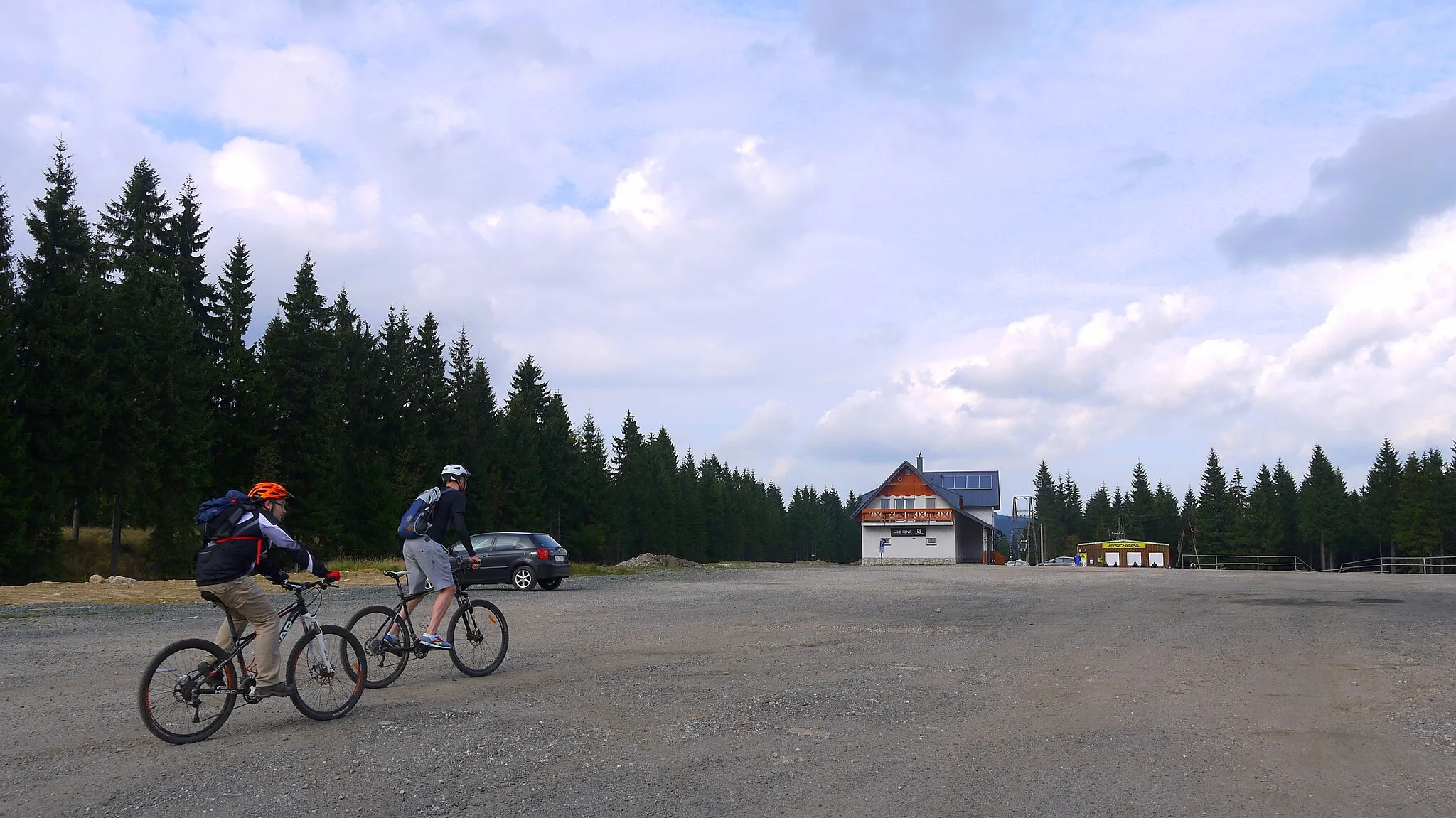
JakuszyceHamletArrive at Jakuszyce, known as a paradise for cyclists, where you can indulge in various trails and mountain bike paths after a 41-kilometer stretch.
46 km
46 km
Hřebínek698 mPeakVeer towards Hřebínek and be captivated by the beauty of this natural formation, offering a picturesque backdrop for your cycling adventure, just 46 kilometers into the route.
47 km
47 km
Finish: Harrachov City centerHarrachov: Cycling paradise amidst the mountains.
Cycling routes from Harrachov:
Cycling routes nearby: