Gravel Adventure to Bílá skála
A gravel cycling route starting from Jablonec nad Jizerou
An adventurous gravel cycling route with natural attractions
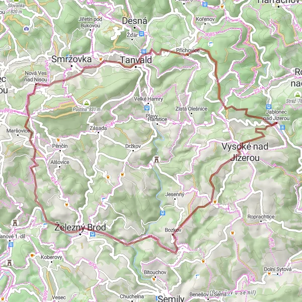
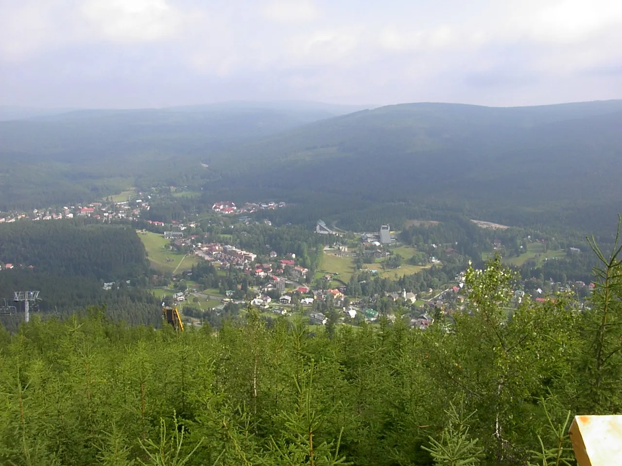
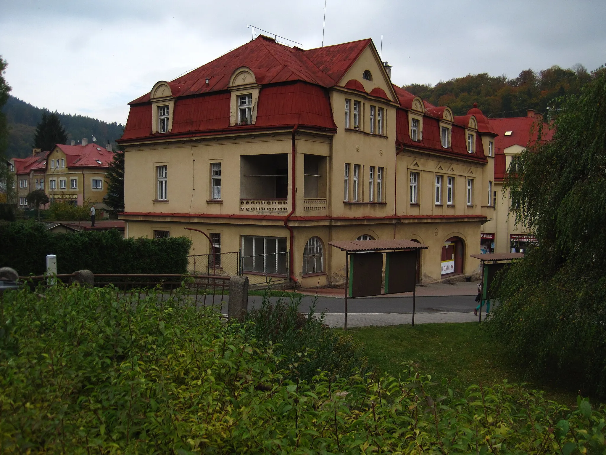
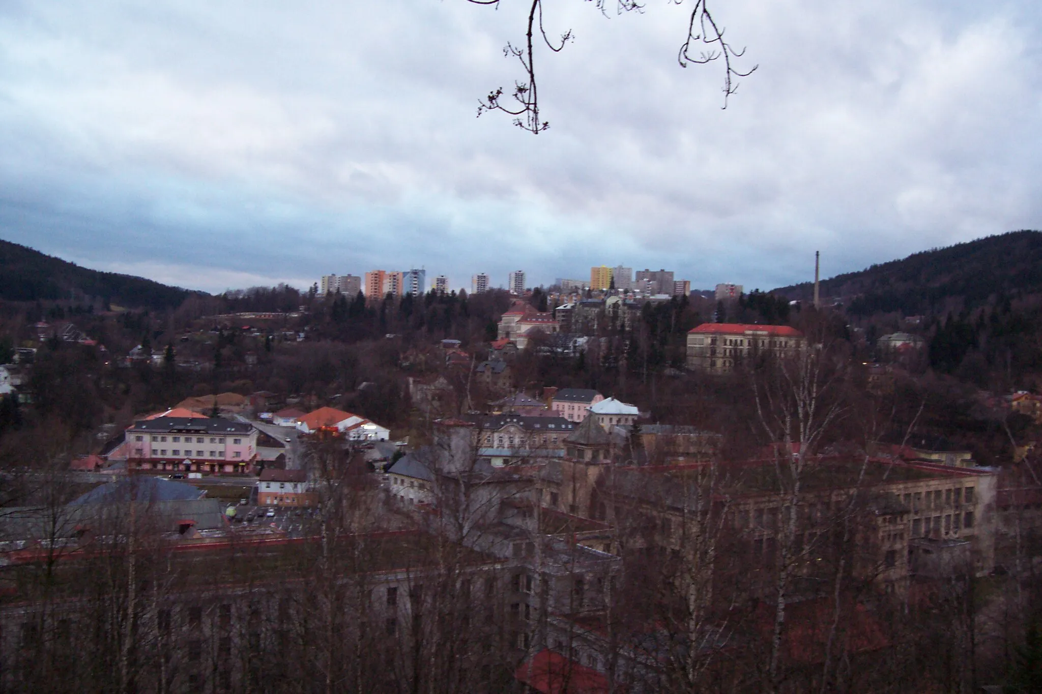
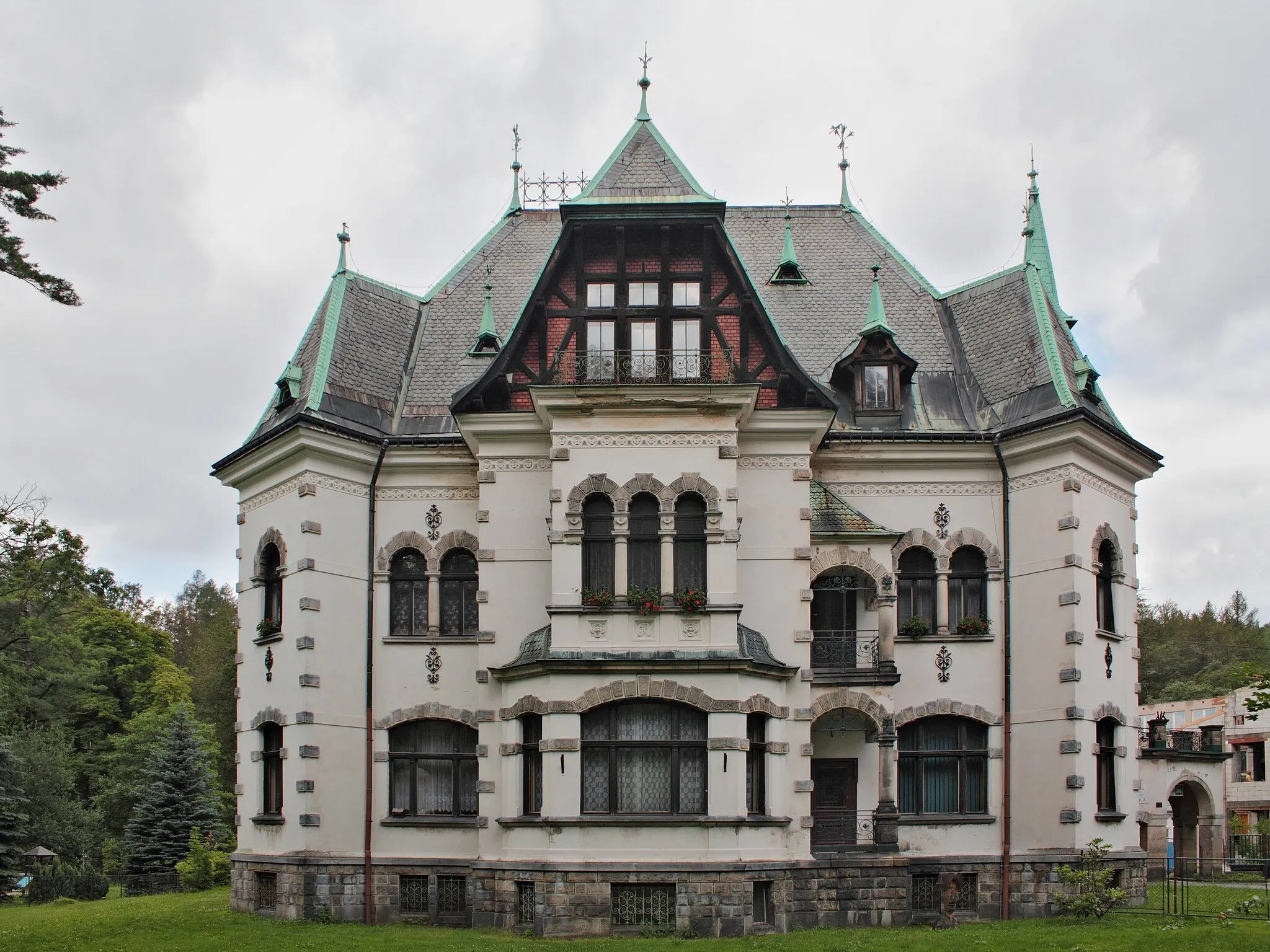
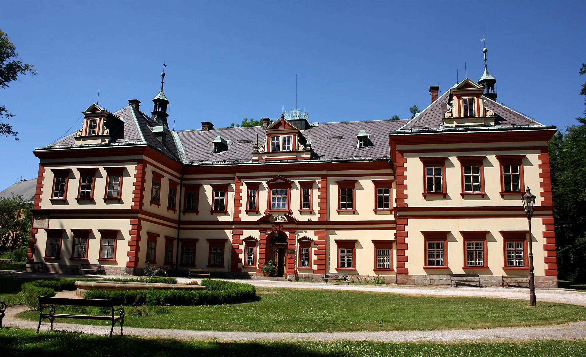
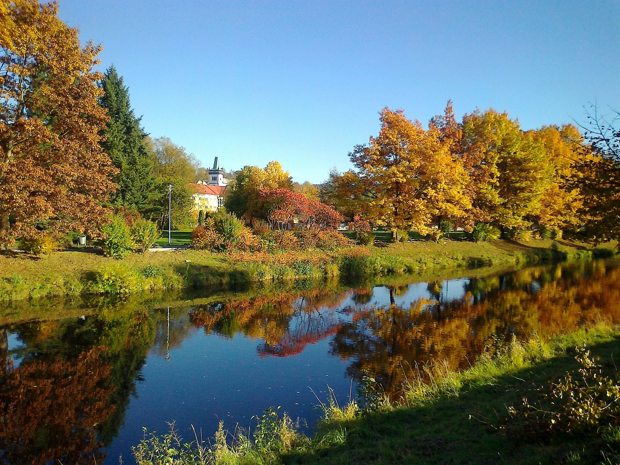
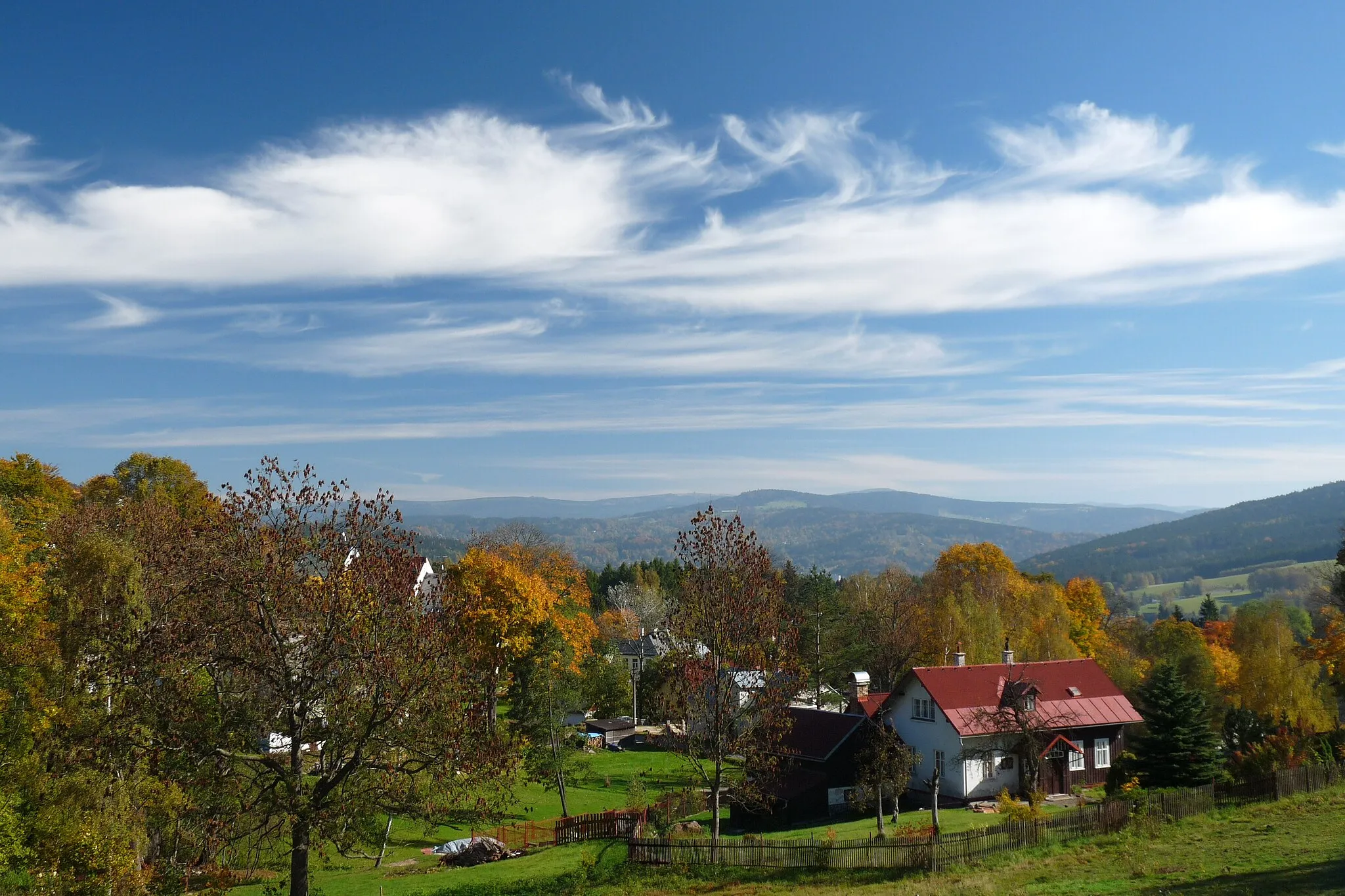
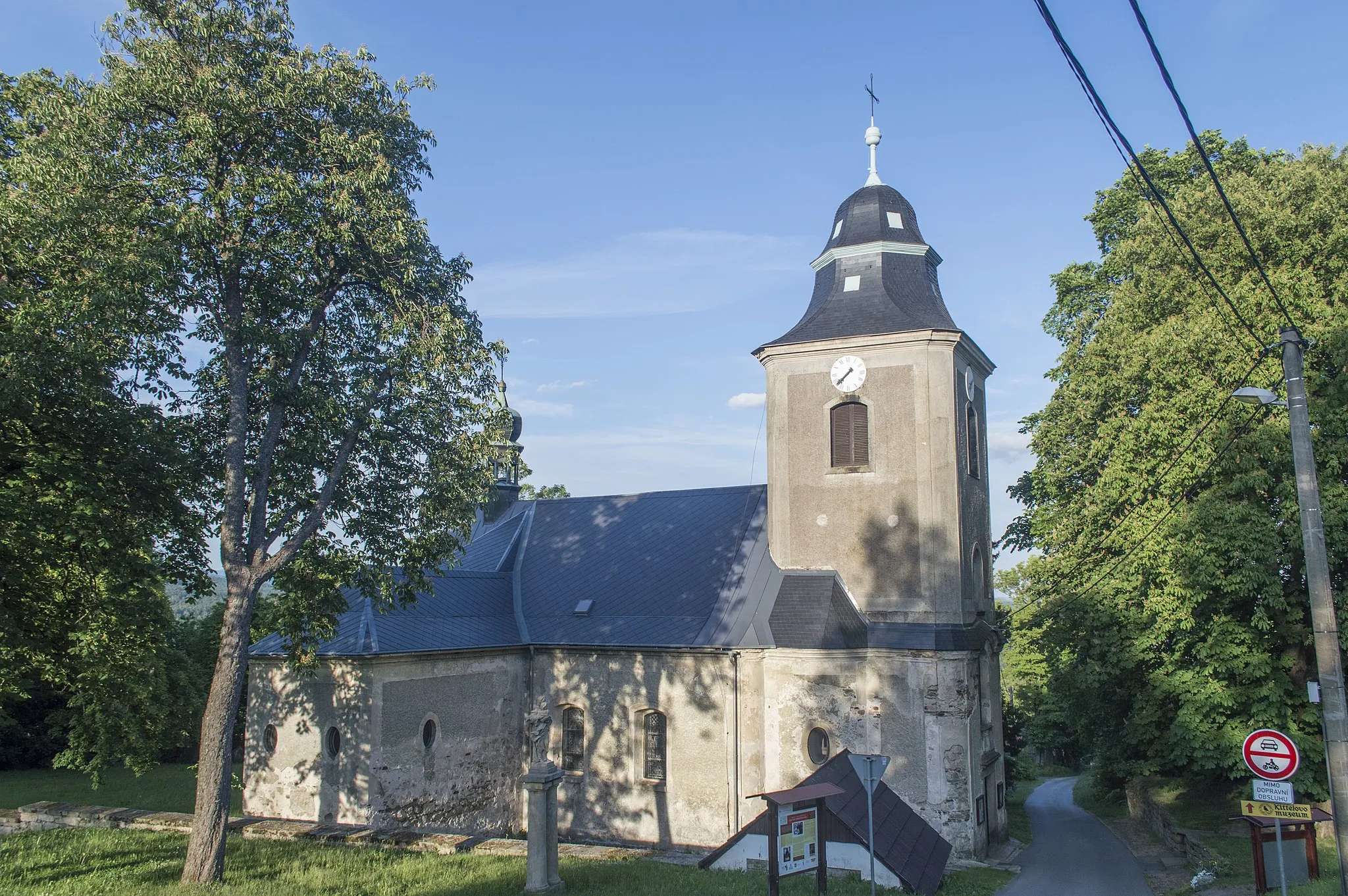
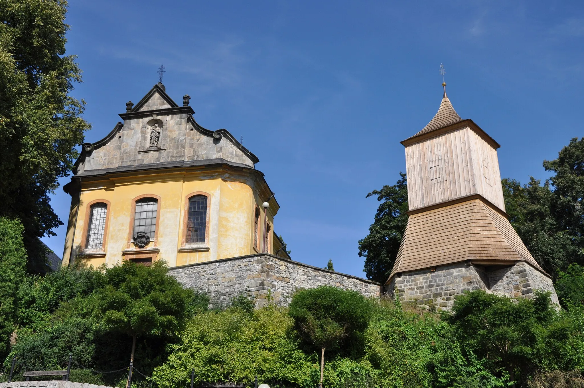
The Gravel Adventure to Bílá skála route is an exciting gravel cycling route that takes you through natural attractions and offers beautiful views. With a distance of 56 kilometers and an ascent of 1495 meters, this route is suitable for experienced gravel riders. The difficulty level is moderate to high, with some challenging off-road sections. One of the highlights along the route is Barejtův kopec, located 5 kilometers from the starting point. It offers scenic views and is perfect for a quick break. Roztoky u Semil, situated 9 kilometers from the start, is another highlight. It is a small town with traditional architecture and beautiful surroundings. Paraplíčko, located 18 kilometers into the ride, is a natural attraction with stunning rock formations. Nová Ves nad Nisou, 34 kilometers from the start, offers beautiful countryside views and is worth a visit. Výhled na Krkonoše, situated 37 kilometers from the start, offers panoramic views of the Krkonoše Mountains. Other highlights along the route include Šumburk nad Desnou (42 kilometers), Bílá skála (48 kilometers), Jablonec nad Jizerou (55 kilometers), and Paloušův kopec (56 kilometers). Overall, the Gravel Adventure to Bílá skála route is an adventurous ride through natural attractions and scenic landscapes.
Highlights on the route
Cycling routes from Jablonec nad Jizerou:
Cycling routes nearby: