Pěnčín Road Cycling Route
A road cycling route starting from Pencin
Discover the beautiful Pěnčín area on this road cycling route
Map
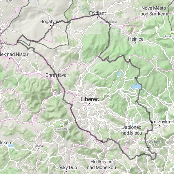
This road cycling route near Pěnčín offers a challenging yet rewarding experience. With a total ascent of 1,795 meters and a distance of 110 kilometers, cyclists will be able to enjoy breathtaking views and ride through stunning landscapes. The route includes several highlights, including the Pulečný cliff and the Rozhledna na Císařském kameni observation tower.
road
110 km
1795 m
Tough
Route profile
Highlights on the route
0 km
0 km
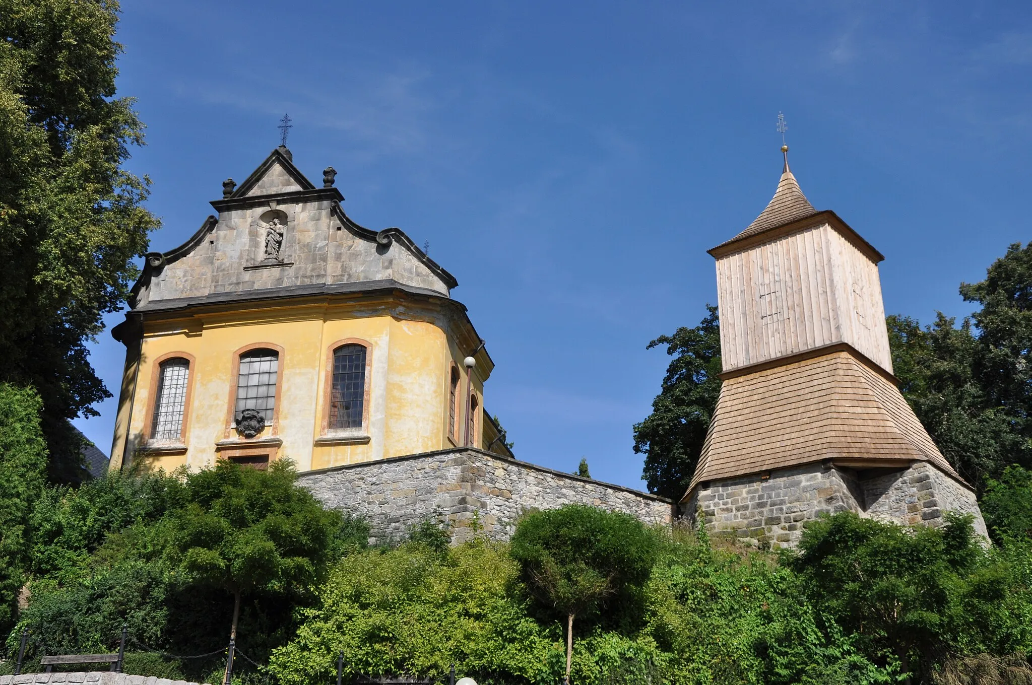
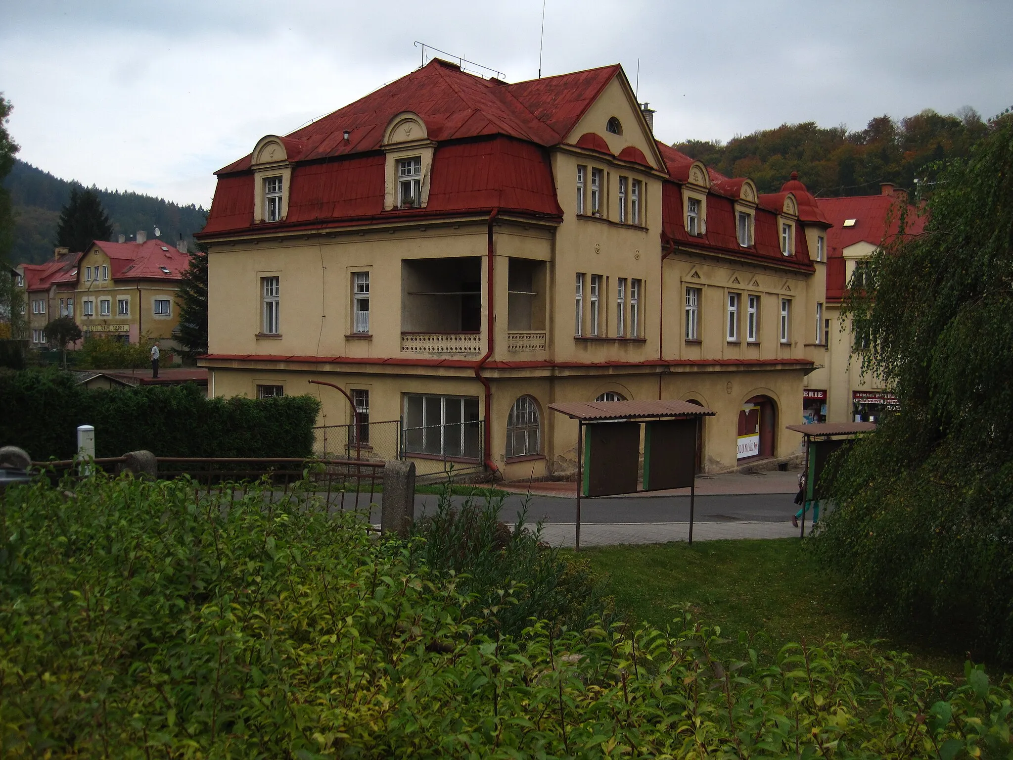
Start: Alšovice Village centerPěnčín: Tranquil locality with rolling hills and scenic routes, home to the iconic Ještěd climb.
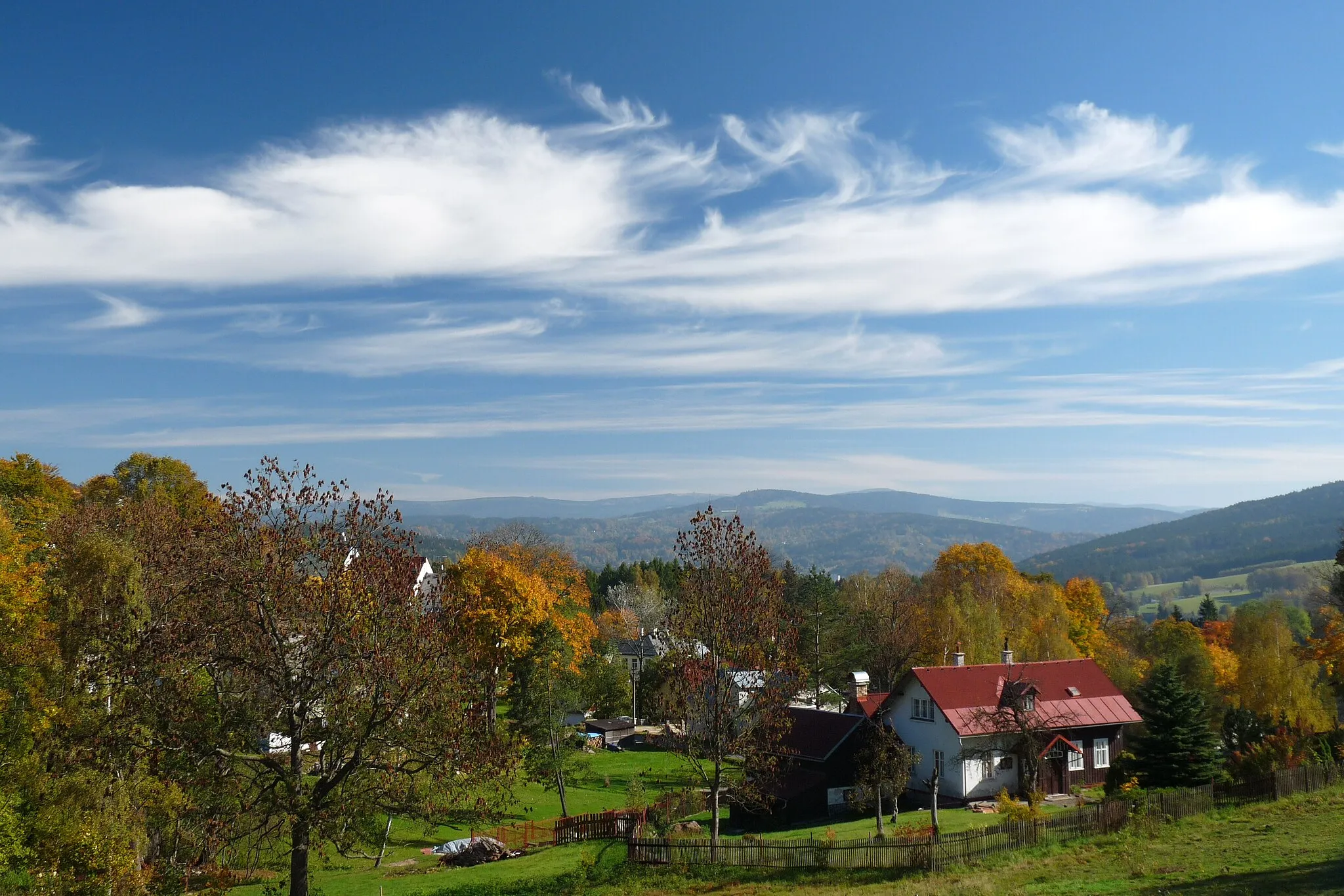
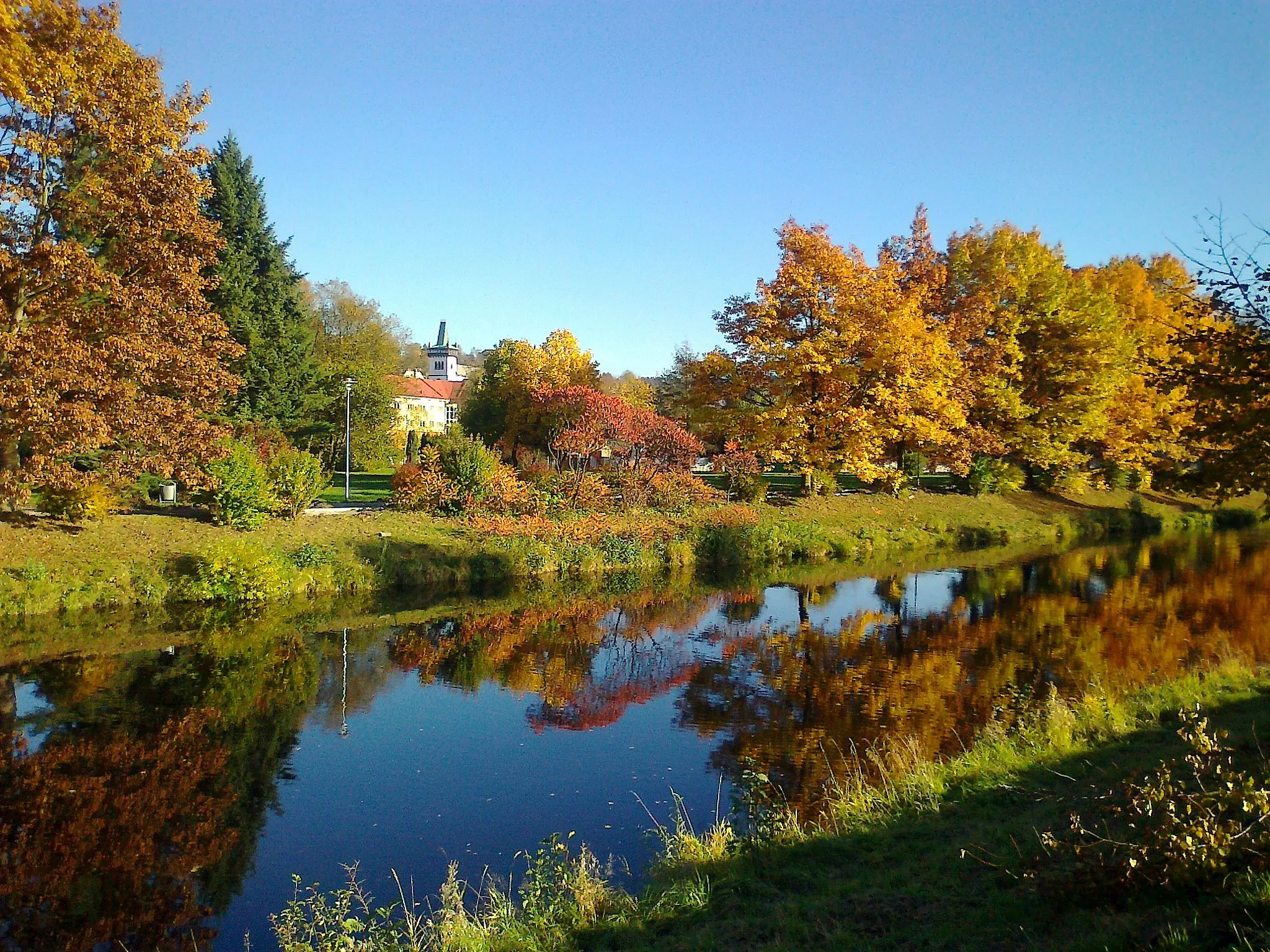
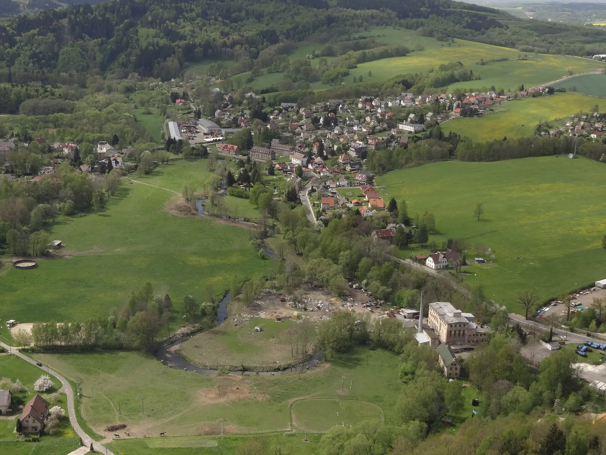
Pěnčín is a hidden gem in the Severovýchod region of the Czech Republic. As a road and gravel cyclist, you'll be delighted by the quiet country roads and peaceful atmosphere of this charming locality. Surrounded by rolling hills and picturesque landscapes, Pěnčín is perfect for leisurely rides or more challenging routes. One notable cycling location nearby is the Ještěd, a popular climb with breathtaking views at its peak. Whether you're a beginner or an experienced cyclist, Pěnčín offers plenty of cycling opportunities for everyone to enjoy.6 km
6 km
PulečnýVillageMake a stop at Pulečný cliff and take in the panoramic views of the surrounding countryside.
12 km
12 km
Rozhledna na Císařském kameniViewpointVisit the Rozhledna na Císařském kameni observation tower and enjoy the breathtaking view from the top.
29 km
29 km
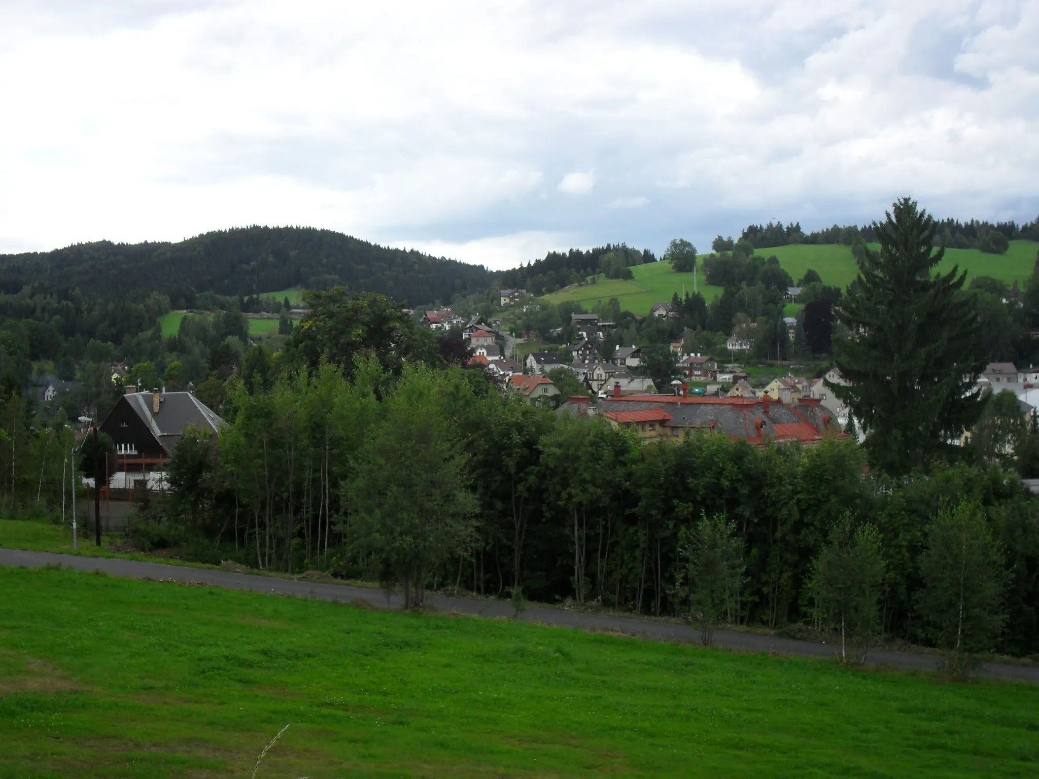
MachnínVillagePass by the picturesque Machnín village and admire its charming architecture.
39 km
39 km
VáclaviceVillageCycle through the scenic village of Václavice and take a break at one of the local cafes.
50 km
50 km
Stromica299 mPeakAdmire the beautiful Stromica stone formation along the route.
70 km
70 km
Kopřivník598 mPeakRide past the historical Kopřivník castle and learn about its rich history.
73 km
73 km
Oldřichov v HájíchVillagePass through the charming village of Oldřichov v Hájích and explore its traditional architecture.
93 km
93 km
Severák803 mPeakReach the summit of Severák and enjoy the stunning panoramic views.
97 km
97 km
Horní MaxovVillageStop at Horní Maxov and experience the cozy atmosphere of this mountain village.
106 km
106 km
Dolní Černá StudniceVillageVisit Dolní Černá Studnice, a small village known for its traditional wooden architecture.
110 km
110 km
Finish: Alšovice Village centerPěnčín: Tranquil locality with rolling hills and scenic routes, home to the iconic Ještěd climb.
Cycling routes nearby: