Vysoké Mýto to Choceňské Předměstí Gravel Cycling Route
A gravel cycling route starting from Vysoke Myto
Embark on a gravel adventure from Vysoké Mýto to Choceňské Předměstí and explore the scenic countryside.
Map
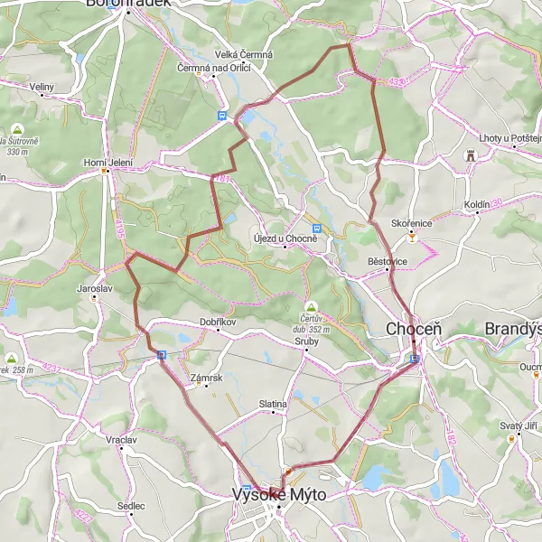
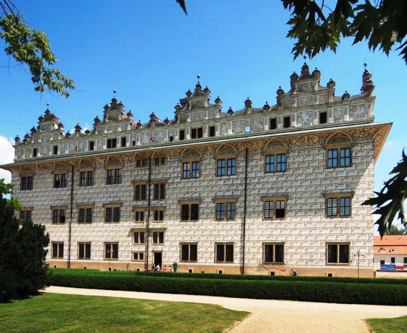
Navigate through the gravel paths on this 42-kilometer route from Vysoké Mýto to Choceňské Předměstí. With an ascent of 244 meters, the journey is suitable for both intermediate and experienced gravel cyclists. Along the way, you'll encounter highlights such as Na Divišce and Chlum, offering unique attractions and natural beauty.
gravel
42 km
244 m
Tough
Route profile
Highlights on the route
0 km
0 km
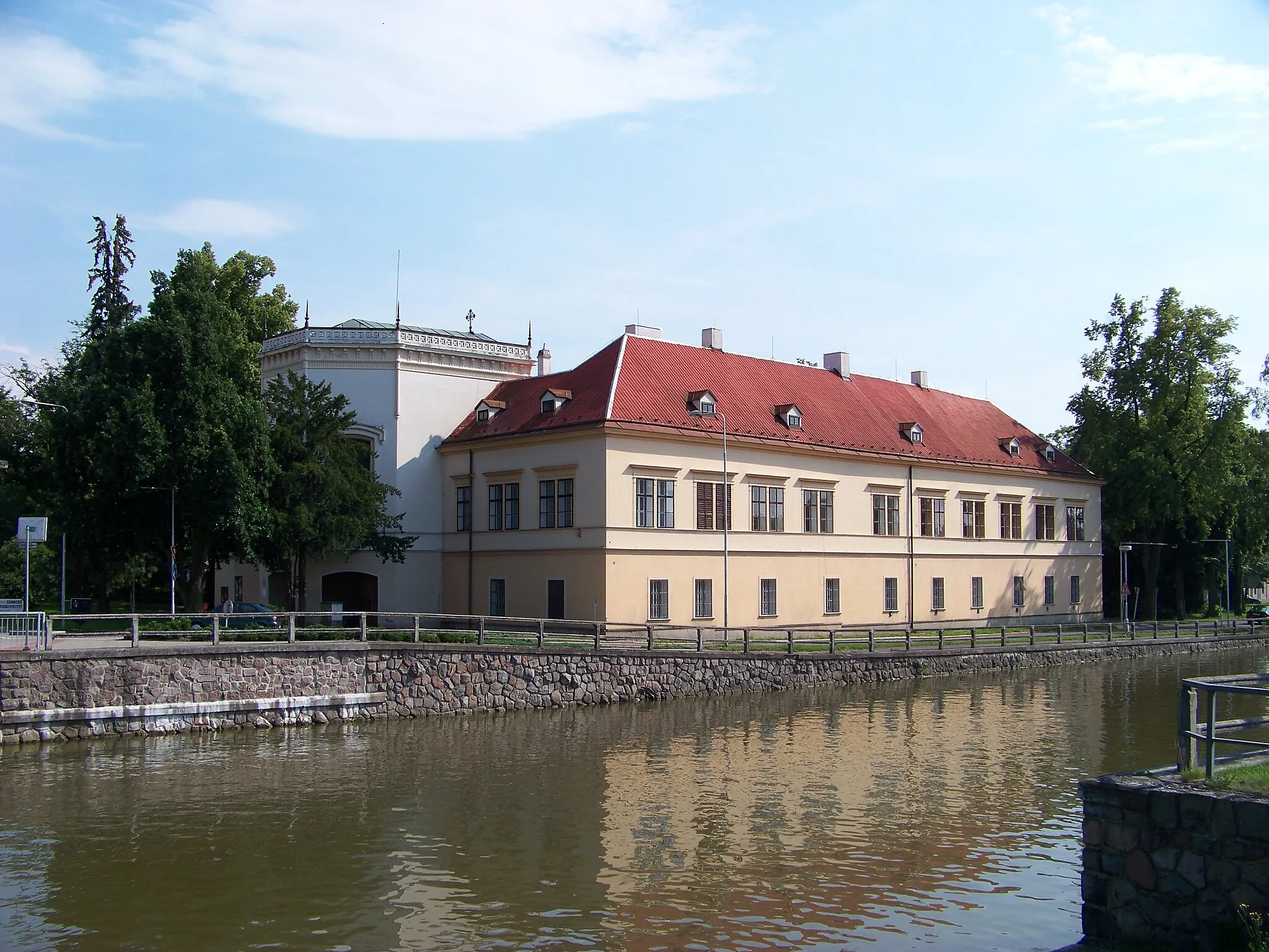
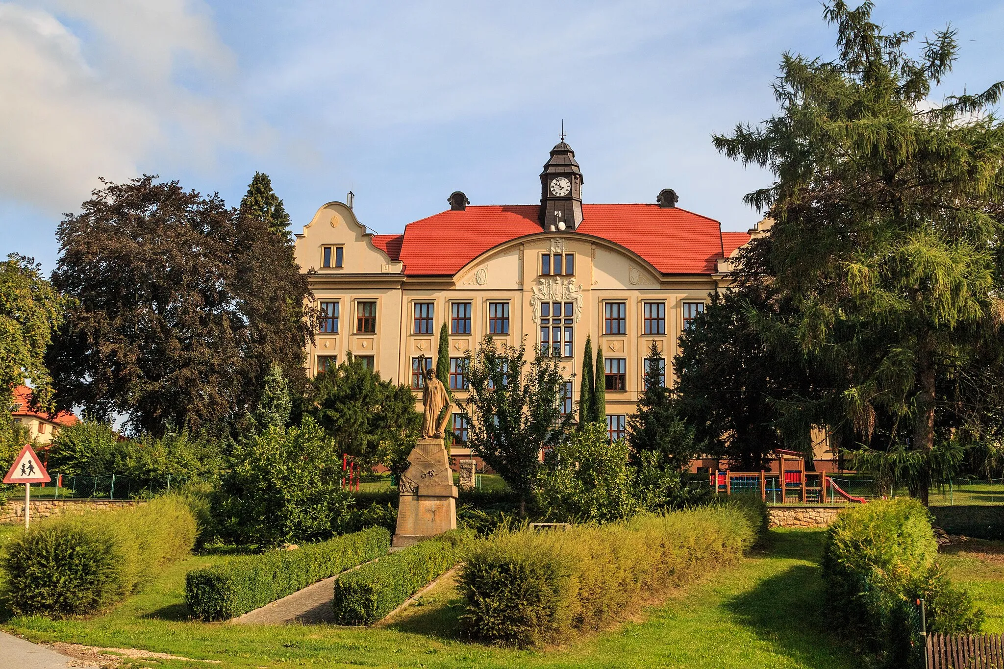
Start: Vysoké Mýto City centerVysoké Mýto: Tranquil Cycling Routes in Vysoké Mýto
Vysoké Mýto is a quaint locality in the Severovýchod region of Czech Republic. From a cyclist's perspective, Vysoké Mýto offers a mix of peaceful country roads, charming villages, and beautiful natural scenery. The town is surrounded by rolling hills and picturesque landscapes, making it a great destination for road and gravel cyclists. Vysoké Mýto is also located near the famous climb to Sezemice, which offers a challenging ascent and rewarding views at the top. With its serene atmosphere and stunning surroundings, Vysoké Mýto is a fantastic choice for cyclists looking to explore the Severovýchod region.0 km
0 km
Vysoké MýtoTownBegin your gravel adventure from Vysoké Mýto, a town rich in history.
8 km
8 km
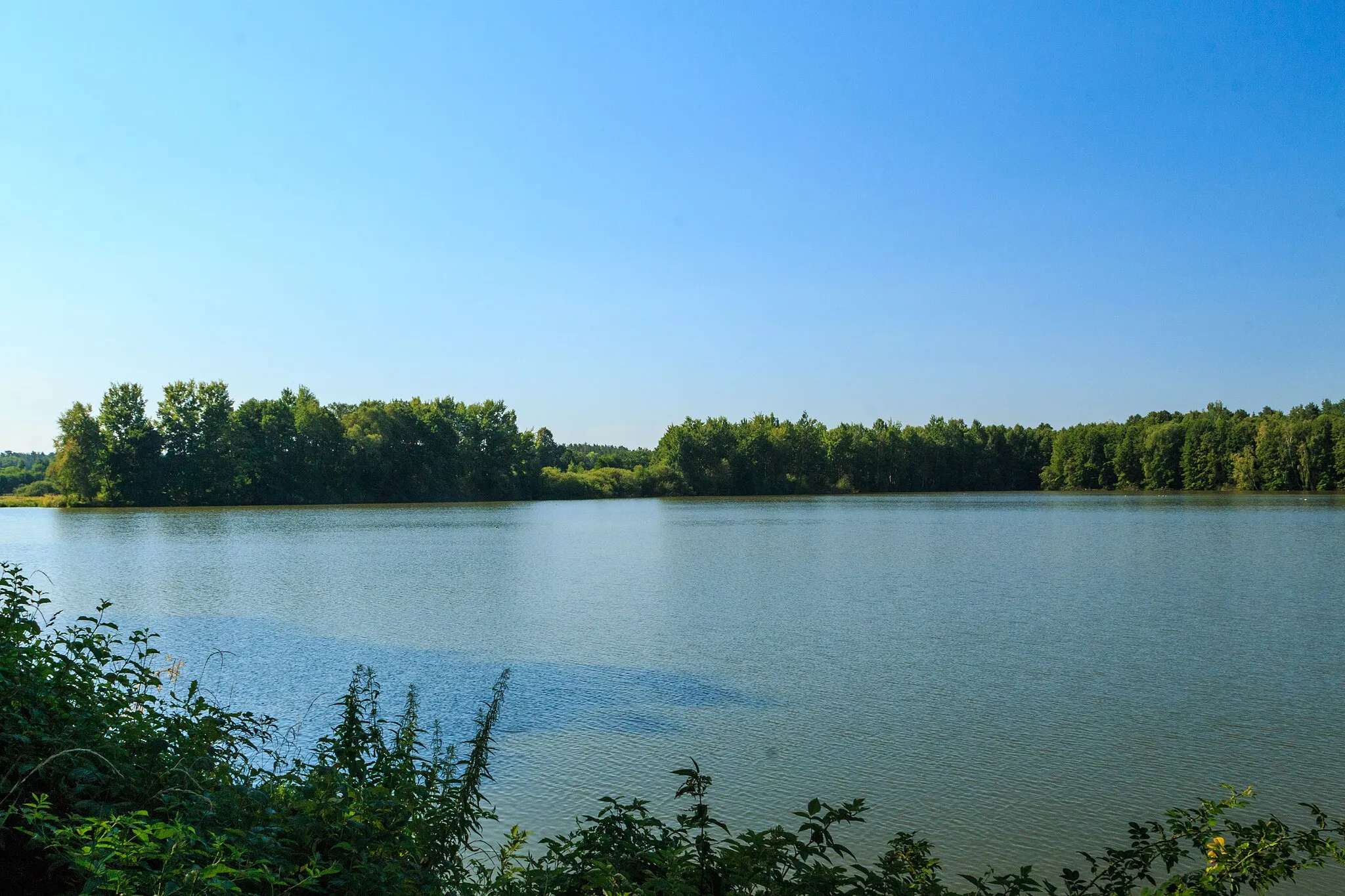
Na Divišce304 mPeakNa Divišce offers scenic views and a peaceful atmosphere during your ride.
19 km
19 km
Na krejčovkách263 mPeakAs you pedal through Na krejčovkách, enjoy the serene nature surrounding you.
20 km
20 km
ČíčováVillagePass through Číčová and take in the scenic beauty of the countryside.
30 km
30 km
BošínVillageBošín's landscape will captivate you with its picturesque charm.
35 km
35 km
Chlum354 mPeakChlum is an ideal highlight to take a break and immerse yourself in nature.
41 km
41 km
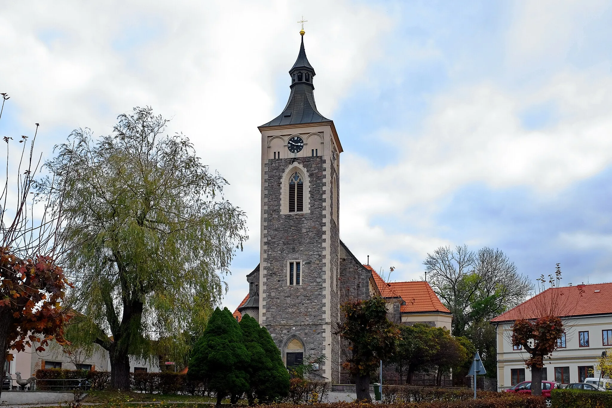
Choceňské PředměstíSub-urbCycle through Choceňské Předměstí and explore its quaint streets.
42 km
42 km
Finish: Vysoké Mýto City centerVysoké Mýto: Tranquil Cycling Routes in Vysoké Mýto
Cycling routes from Vysoke Myto:
Road Cycling Adventure near Vysoké Mýto Vysoké Mýto to Choceňské Předměstí Gravel Cycling Route Countryside Road Cycling Tour from Vysoké Mýto Vysoké Mýto to Vraclav Road Cycling Route Vysoké Mýto Gravel Adventure Vysoké Mýto to Vysoké Mýto-Město Gravel Cycling Route Scenic Loop near Vysoké Mýto Vysoké Mýto to Choceňské Předměstí Gravel Cycling Route Vysoké Mýto to Bučkův kopec Road Cycling Route Scenic Gravel Tour of Severovýchod
Cycling routes nearby: