Gravel Tour to Albeřický Vrch
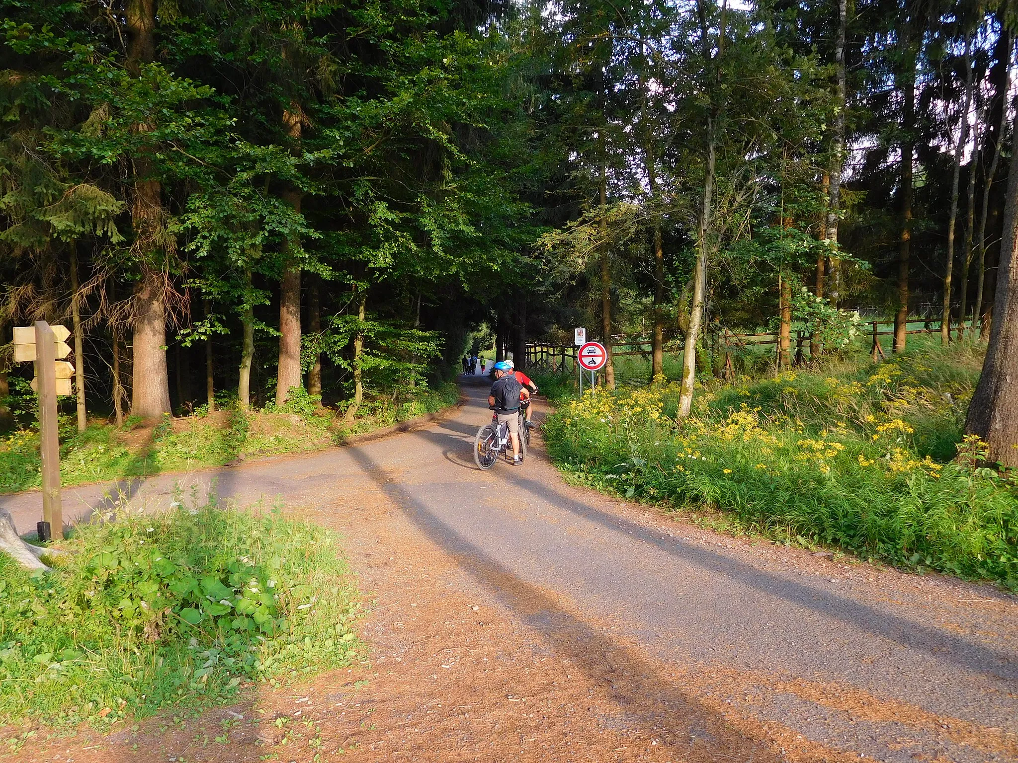
A gravel cycling route starting from Zacler
Overshadowed by Mravenečník but nonetheless a beautiful climb
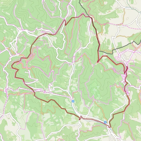
Map
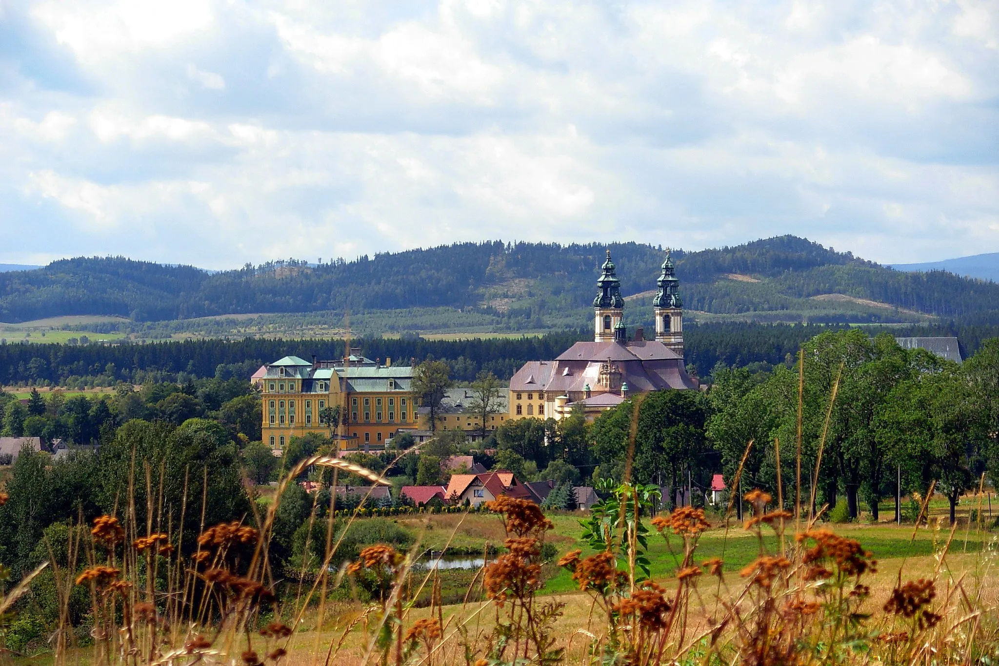
This gravel tour takes you on a scenic journey through the Severovýchod region near Žacléř. The route includes a challenging climb up to Albeřický vrch, which offers stunning panoramic views of the surrounding countryside. It also features several other highlights, such as the popular lookout point Zlatá vyhlídka and the charming village of Velká Úpa. With its moderate ascent and distance, this route is suitable for well-trained amateurs. Its epicness rating of 3 out of 5 makes it a memorable cycling experience.
gravel
51 km
1689 m
Tough
Route profile
Highlights on the route
0 km
0 km
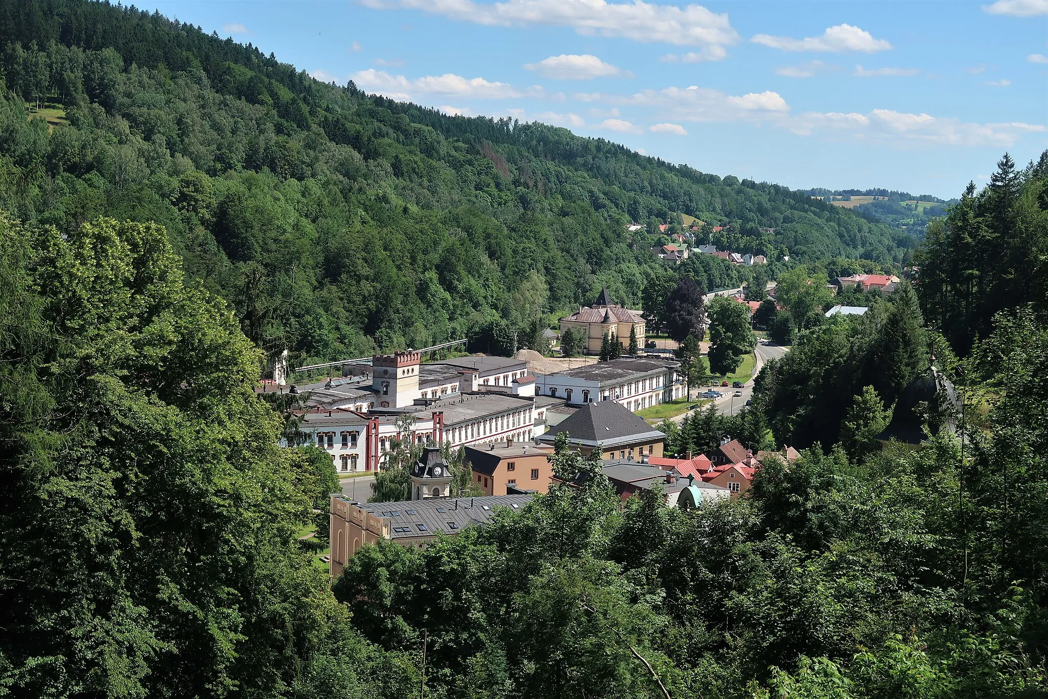
Start: Žacléř City centerŽacléř: Žacléř: Cycling through the Picturesque Town in Severovýchod, Czech Republic
Žacléř is a picturesque town located in the Severovýchod region of the Czech Republic. As a road and gravel cyclist, this locality offers a range of cycling routes that showcase the natural beauty of the area. The quiet country lanes and rolling hills make for enjoyable riding conditions. Žacléř is also home to numerous well-marked cycling trails, perfect for exploring the surrounding countryside. Cyclists visiting Žacléř should not miss the opportunity to tackle the challenging ascent of Porta Špindlerova Bouda, a famous climb in the region. With its scenic routes and cycling-friendly atmosphere, Žacléř is a fantastic destination for all cyclists.0 km
0 km
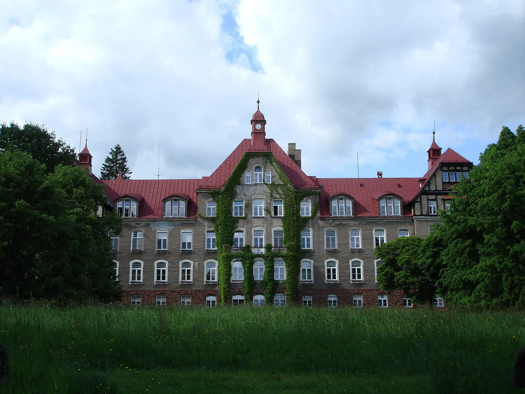
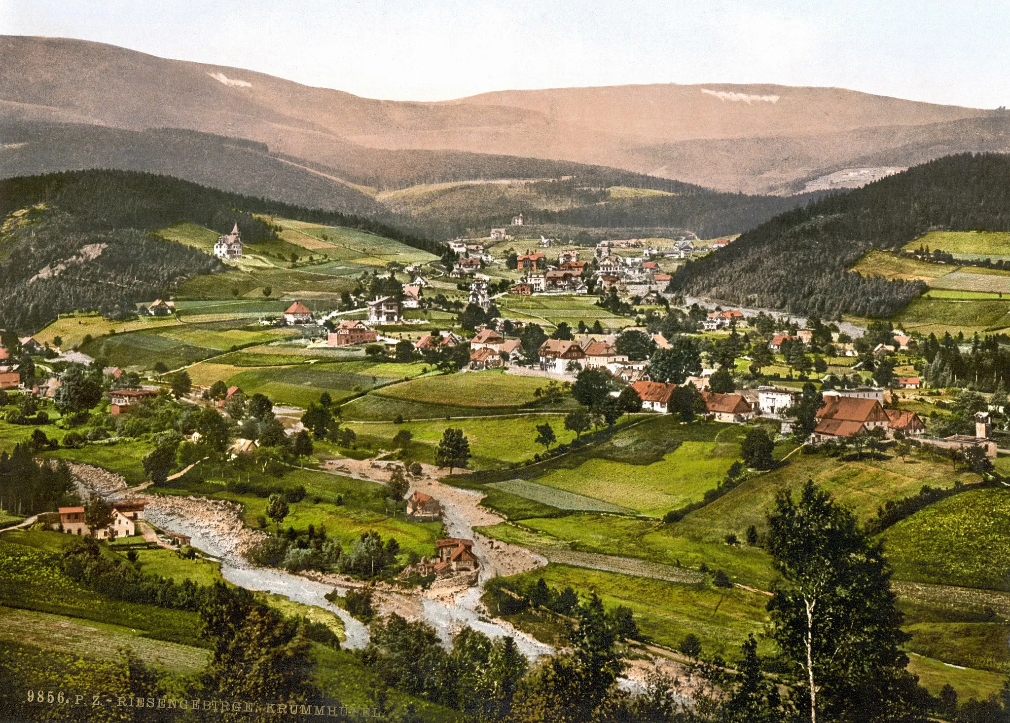
ŽacléřCastleThe charming town of Žacléř, situated in the Giant Mountains.
4 km
4 km
rozhledna EliškaViewpointRozhledna Eliška, a tower offering panoramic views over the landscape.
10 km
10 km
Kalná VodaVillageKalná Voda, a unique water feature with an interesting geological history.
20 km
20 km
Zlatá vyhlídka808 mPeakZlatá vyhlídka, a popular lookout point with breathtaking views.
31 km
31 km
Velká ÚpaVillageVelká Úpa, a picturesque village nestled in the mountains.
39 km
39 km
Albeřický vrch948 mPeakAlbeřický vrch, a beautiful climb with stunning panoramic views.
45 km
45 km
Mravenečník1005 mPeakMravenečník, a famous rocky point that overlooks the landscape.
49 km
49 km
BobrVillageBobr, a picturesque village known for its traditional architecture.
51 km
51 km
Finish: Žacléř City centerŽacléř: Žacléř: Cycling through the Picturesque Town in Severovýchod, Czech Republic
Cycling routes nearby: