Černovice and Jelení vrch Gravel Loop
A gravel cycling route starting from Chomutov
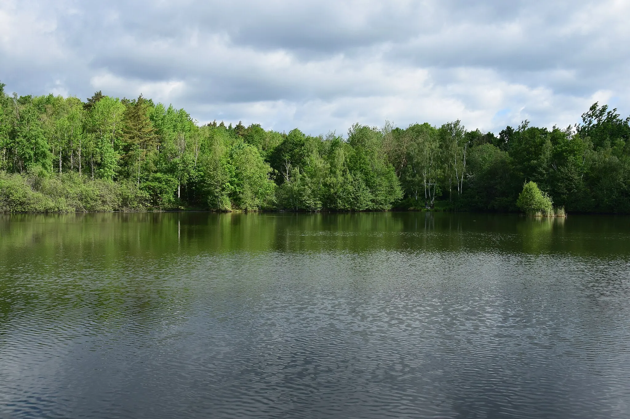
A scenic gravel route with a challenging ascent to Jelení vrch
Map

This gravel loop from Chomutov takes you through picturesque Černovice and offers stunning views from Jelení vrch. It is a moderately difficult route with a total ascent of 825 meters, but the beautiful surroundings make it worth the effort. The route covers a distance of 50 kilometers and is suitable for gravel bikes.
gravel
50 km
825 m
Tough
Route profile
Highlights on the route
0 km
0 km
Start: Spořice Village centerChomutov: Discover the diversity of cycling routes and take on the challenge of Háj u Chomutova in Chomutov.
Chomutov is a town located in the Severozápad region of Czech Republic. As a road and gravel cyclist, Chomutov offers various cycling routes to explore. The town itself has a mix of urban and rural roads that cater to different preferences. Cyclists can enjoy both city rides and countryside routes, with options for leisurely rides or more challenging climbs. One notable climb near Chomutov is the Háj u Chomutova, which is popular among local cyclists. Chomutov also has cycling infrastructure in place, including bike lanes and bike-friendly facilities.3 km
3 km
ČernoviceVillageČernovice is a charming little village known for its historical buildings and tranquil atmosphere.
11 km
11 km
Poustevna823 mPeakPoustevna is an ancient hermitage with a fascinating history and provides a peaceful spot for rest and reflection.
17 km
17 km
Novoveský vrch886 mPeakNovoveský vrch is a challenging climb with breathtaking panoramic views of the countryside.
24 km
24 km
ReitzenhainHamletReitzenhain is a small town located on the Czech-German border, offering the opportunity to explore both countries.
31 km
31 km
Jelení vrch863 mPeakJelení vrch is a scenic hill with a lookout tower offering panoramic views of the surrounding landscape.
39 km
39 km
BlatnoVillageBlatno is a picturesque village known for its historic square and beautiful countryside.
50 km
50 km
Finish: Spořice Village centerChomutov: Discover the diversity of cycling routes and take on the challenge of Háj u Chomutova in Chomutov.
Cycling routes from Chomutov:
Cycling routes nearby: