Benešov to Mariánovice and Back
A road cycling route starting from Benesov
Embark on a challenging road cycling route from Benešov to Mariánovice, featuring stunning scenery and historic landmarks.
Map
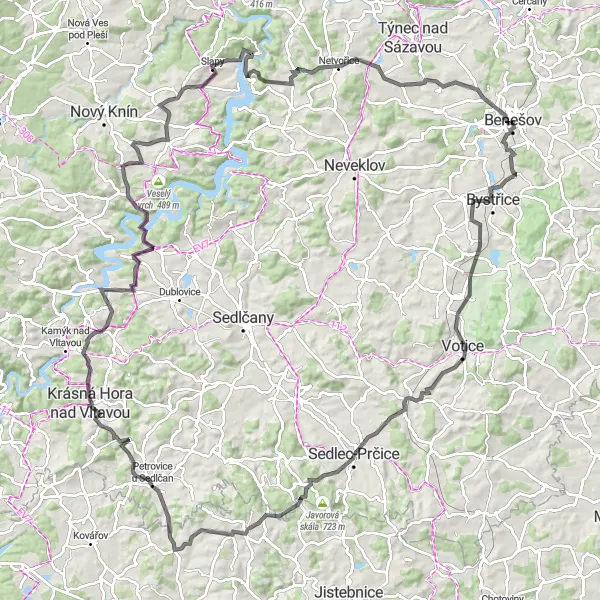
This challenging road cycling route takes you through picturesque countryside and historic villages. Highlights include Mariánovice, Kosí, Hněvanice, and the iconic Slapy area. With a total ascent of 1842 meters and a distance of 133 kilometers, this route offers a demanding yet rewarding cycling experience.
road
133 km
1842 m
Savage
Route profile
Highlights on the route
0 km
0 km
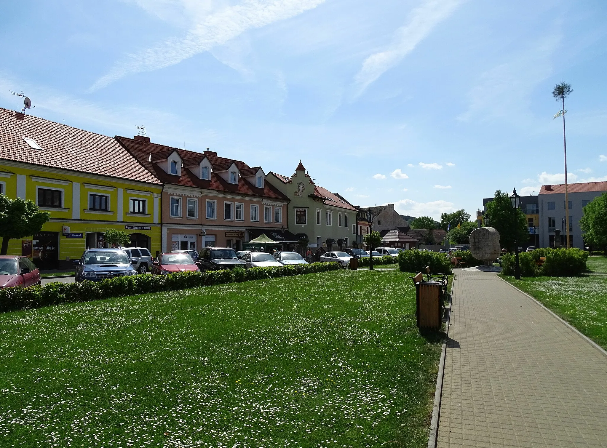
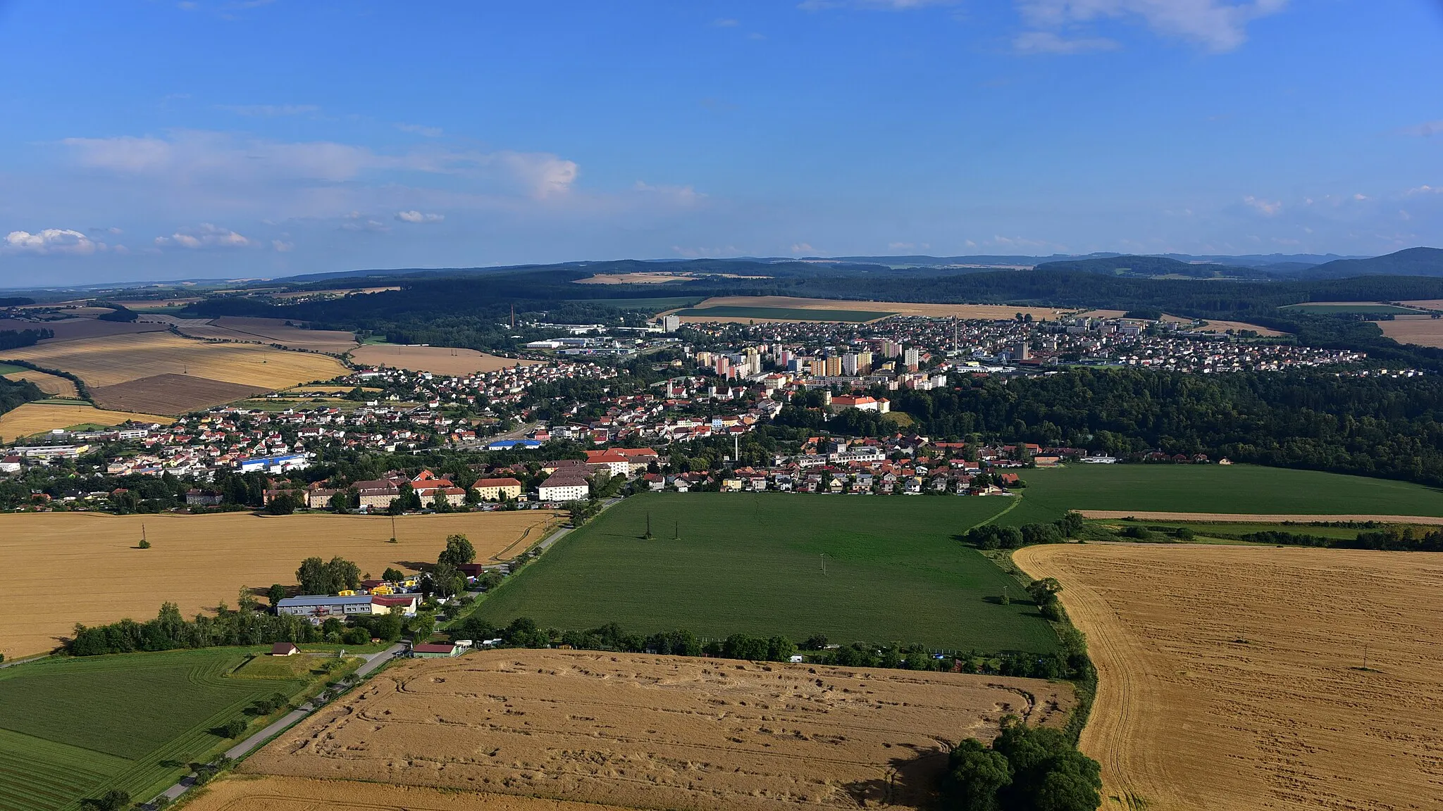
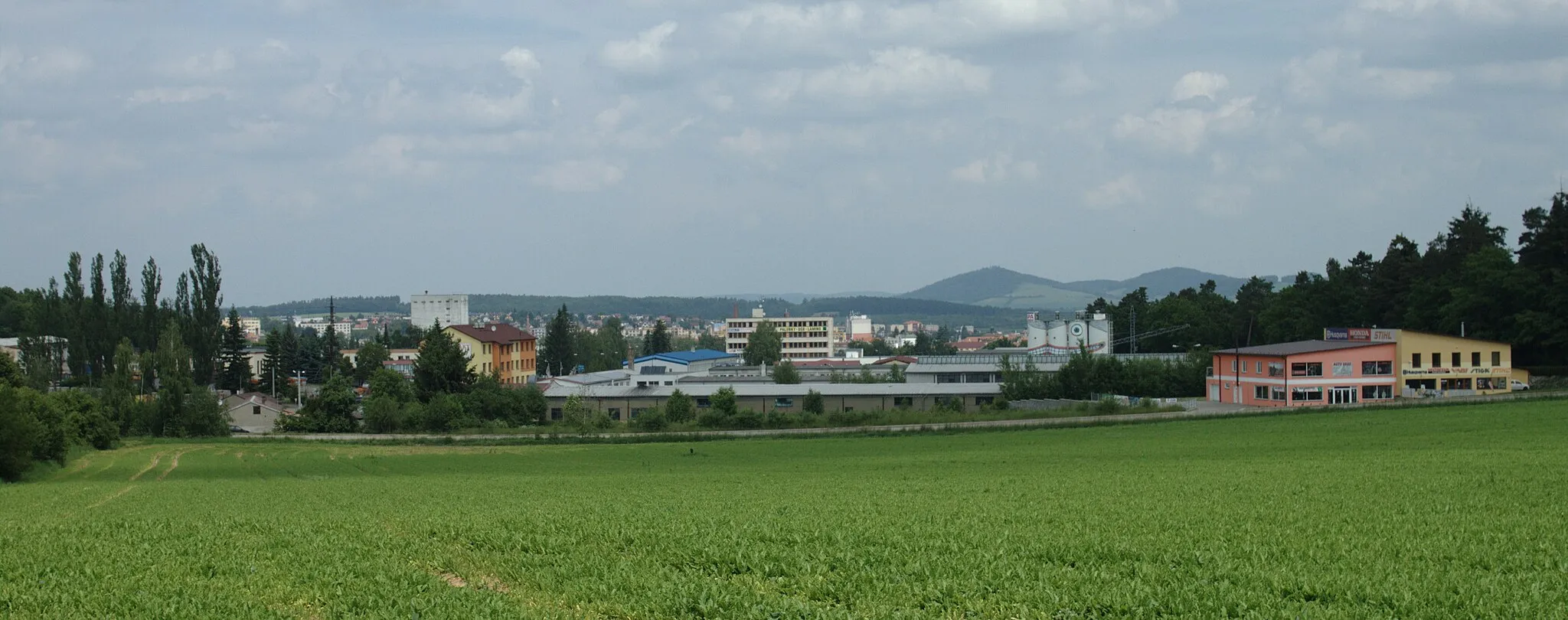
Start: Benešov City centerBenešov: Diverse cycling opportunities in Benešov.
Benešov, located in the Střední Čechy region of the Czech Republic, is a town that offers various cycling opportunities. From the perspective of a road and gravel cyclist, Benešov features a mix of flat stretches and moderately hilly terrain, providing diverse options for rides. The town is also home to a popular local cycling event called 'Benešov Tour', which attracts both amateur and professional cyclists. In terms of well-known climbs or renowned cycling spots, however, Benešov does not have any notable ones nearby. Overall, it is a pleasant locality for cyclists who enjoy exploring different terrains and participating in local cycling events.2 km
2 km
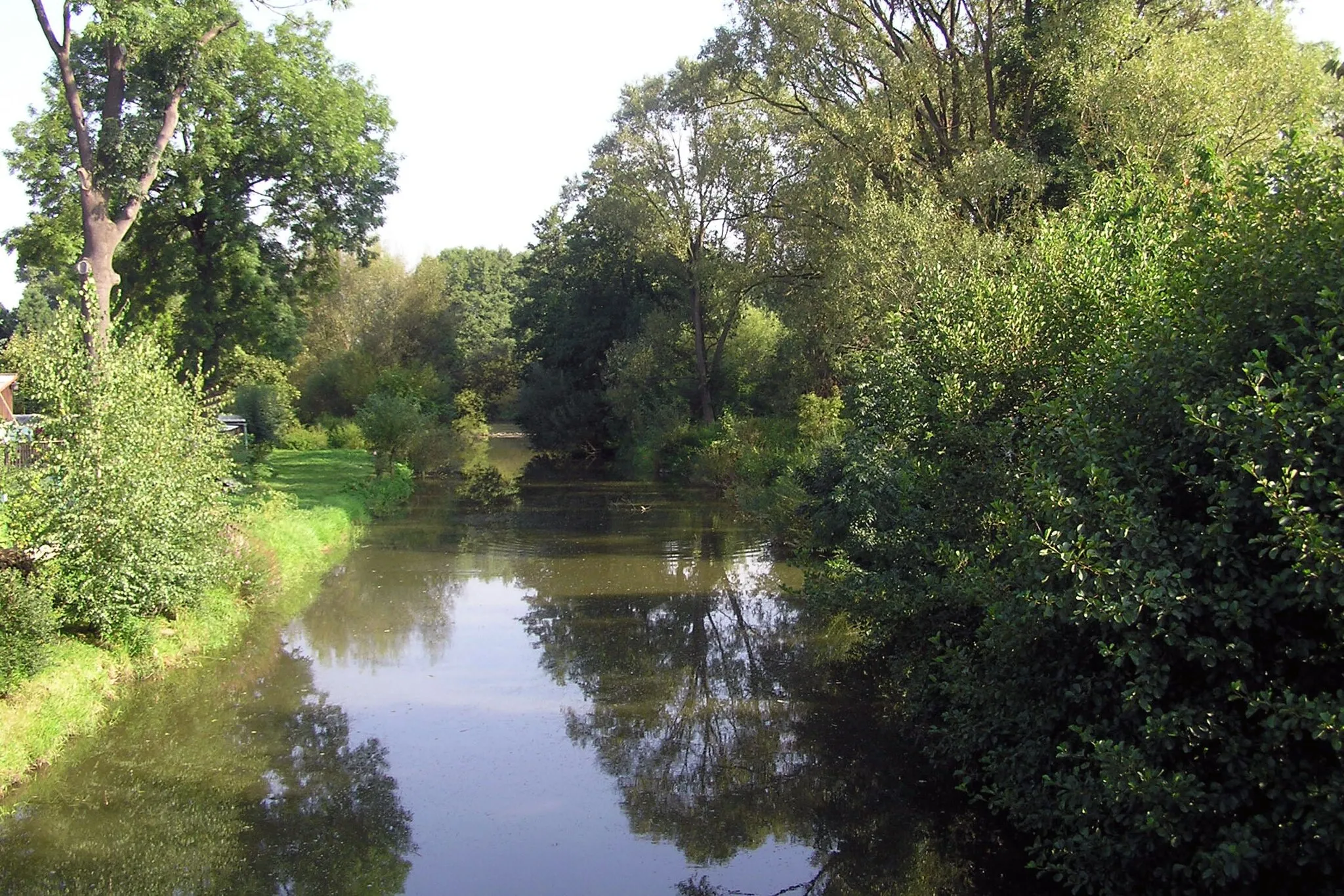
MariánoviceHamletMariánovice, located at the 2-kilometer mark, is a quaint village with a charming atmosphere.
13 km
13 km
V Hoře487 mPeakV Hoře, reached at the 13-kilometer mark, is a historic site with captivating architecture and a serene ambience.
28 km
28 km
Kosí570 mPeakKosí, at the 28-kilometer mark, offers beautiful views of the surrounding countryside and traditional Czech countryside architecture.
35 km
35 km
SušeticeVillageSušetice, reached at the 35-kilometer mark, is a charming village with historic landmarks and a tranquil atmosphere.
49 km
49 km
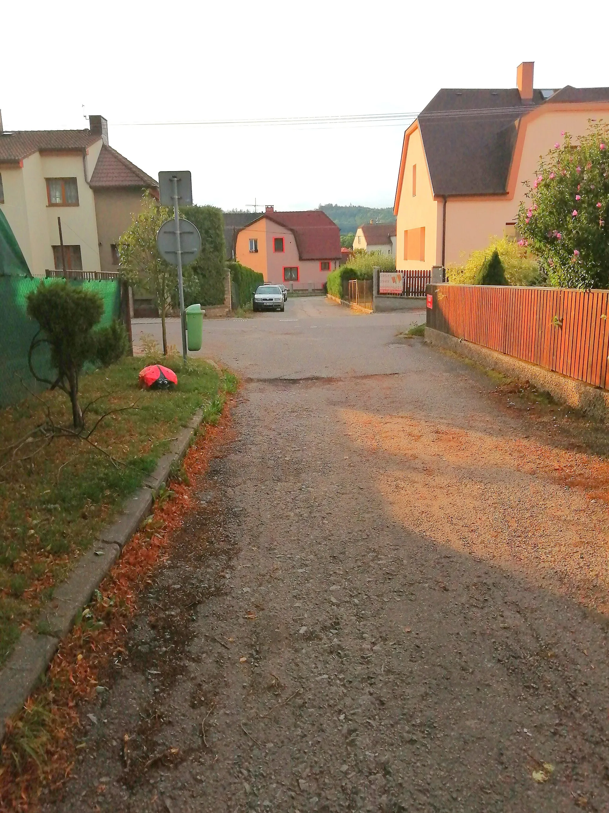
HněvaniceHamletHněvanice, located at the 49-kilometer mark, is a picturesque village with beautifully preserved traditional architecture.
57 km
57 km
Rozhledna KuníčekViewpointRozhledna Kuníček offers panoramic views of the surrounding landscapes, located at the 57-kilometer mark.
64 km
64 km
Strážník524 mPeakStrážník, reached at the 64-kilometer mark, is a historic town with fascinating cultural heritage and charming architecture.
68 km
68 km
ŘadovyHamletŘadovy, at the 68-kilometer mark, is known for its beautiful scenery and tranquil ambience.
85 km
85 km
Hájek424 mPeakHájek, located at the 85-kilometer mark, is a peaceful village surrounded by nature and rolling hills.
89 km
89 km
LibčiceVillageLibčice, reached at the 89-kilometer mark, is a charming village with stunning architecture and a picturesque setting.
103 km
103 km
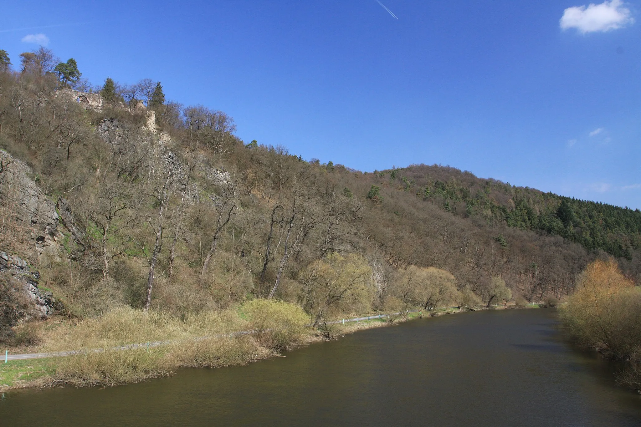
SlapyVillageSlapy, at the 103-kilometer mark, offers beautiful views of the Slapy Reservoir and opportunities for water-based activities.
104 km
104 km
Červená hora485 mPeakČervená hora, located at the 104-kilometer mark, offers stunning panoramic views of the surrounding countryside.
112 km
112 km
Kordův vrch436 mPeakKordův vrch, reached at the 112-kilometer mark, provides captivating views of the hilly landscapes and rolling valleys.
127 km
127 km
ÚročniceVillageÚročnice, located at the 127-kilometer mark, is a country-wide famous historic village with cultural and architectural significance.
133 km
133 km
Finish: Benešov City centerBenešov: Diverse cycling opportunities in Benešov.
Cycling routes from Benesov:
Cycling routes nearby: