Scenic Gravel Loop
A gravel cycling route starting from Kralupy nad Vltavou
Experience stunning landscapes on this scenic gravel loop near Kralupy nad Vltavou
Map
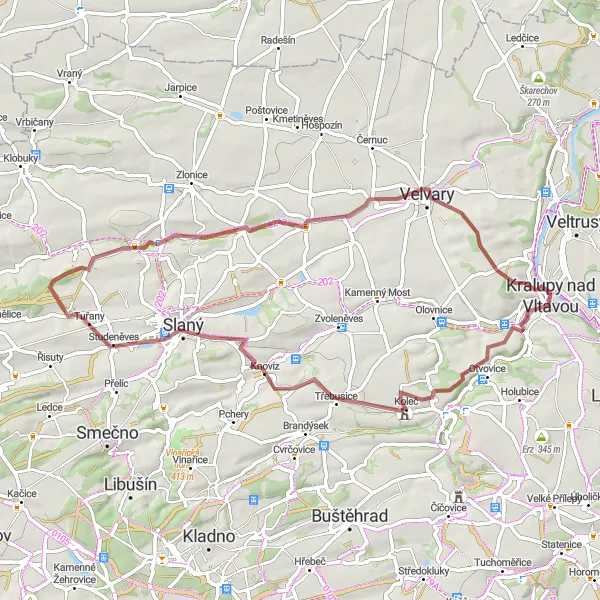
Escape into the natural beauty of Střední Čechy with this 57-kilometer, off-road gravel loop. With an ascent of 478 meters, this route offers breathtaking vistas and interesting stops along the way. Suitable for intermediate riders.
gravel
57 km
478 m
Tough
Route profile
Highlights on the route
0 km
0 km
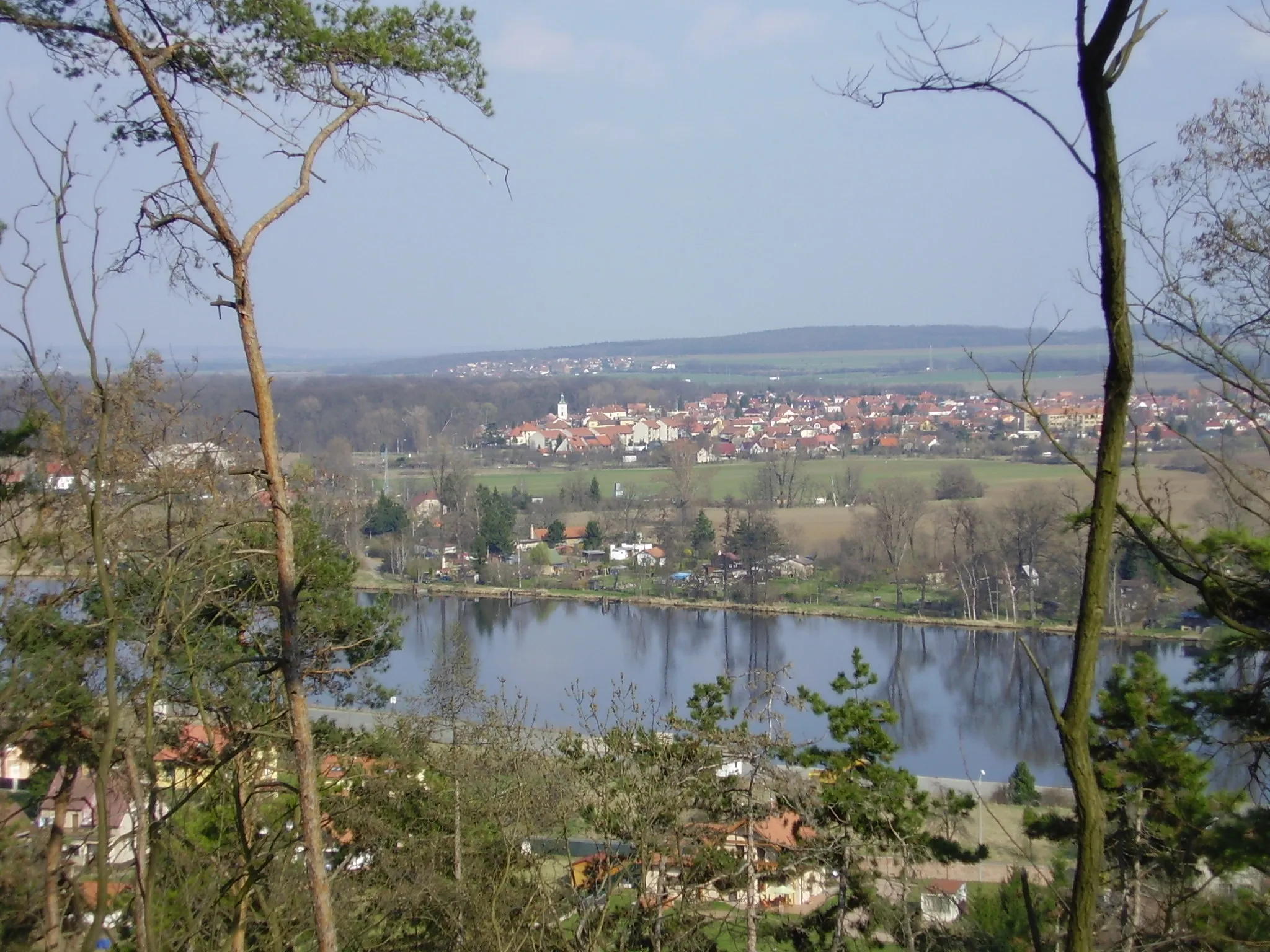
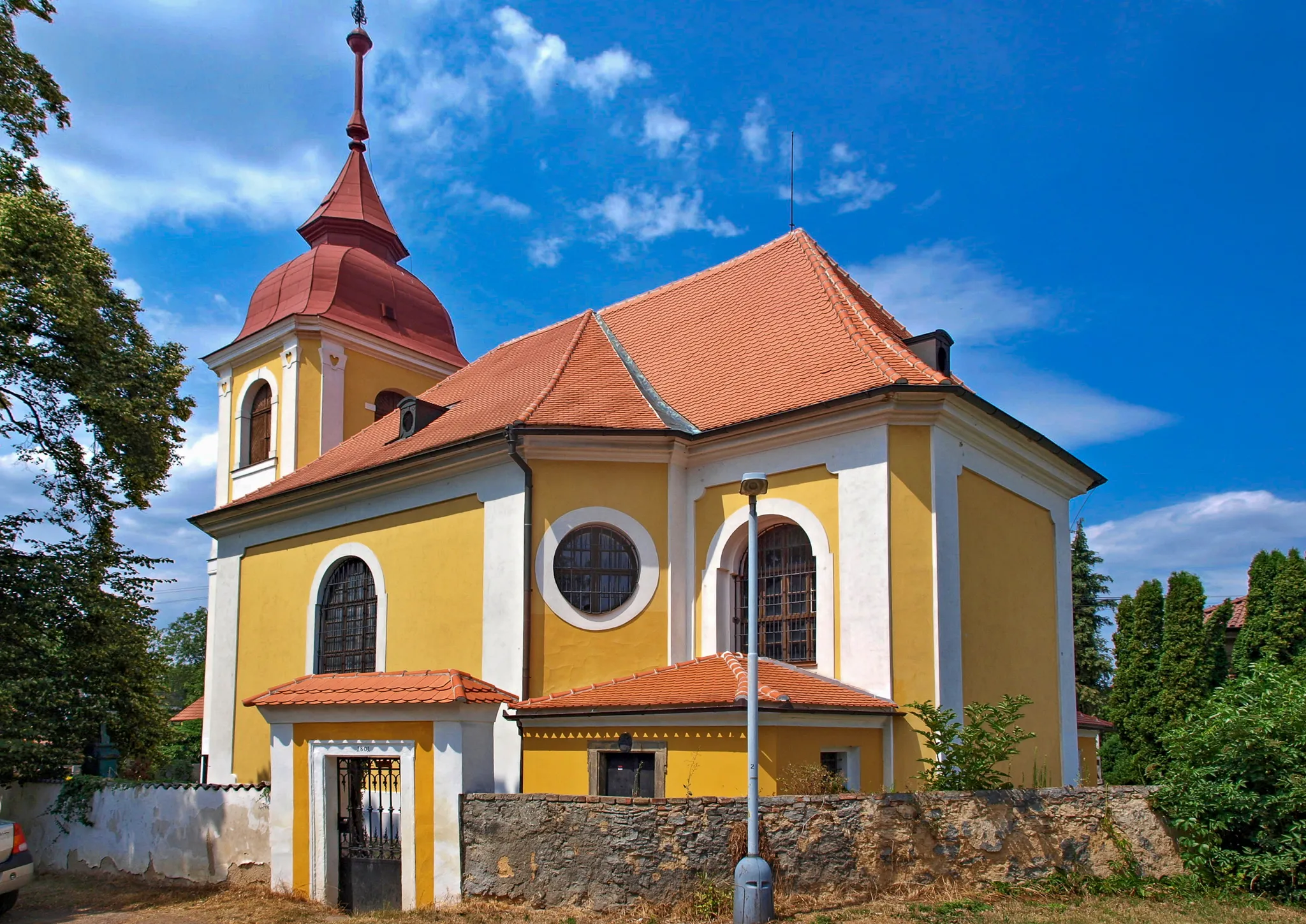
Start: Kralupy nad Vltavou City centerKralupy nad Vltavou: Tranquil cycling in a charming Czech town, Kralupy nad Vltavou.
Kralupy nad Vltavou is a town located in Střední Čechy, Czech Republic. As a road and gravel cyclist, Kralupy nad Vltavou offers moderate cycling opportunities with its scenic routes and peaceful surroundings. The town is situated along the banks of the Vltava River, providing cyclists with beautiful riverside paths to explore. While Kralupy nad Vltavou does not have any famous cycling spots or well-known climbs nearby, it offers a tranquil cycling experience in a charming Czech town. With its picturesque setting and serene atmosphere, Kralupy nad Vltavou is a hidden gem for cyclists seeking a peaceful ride.5 km
5 km
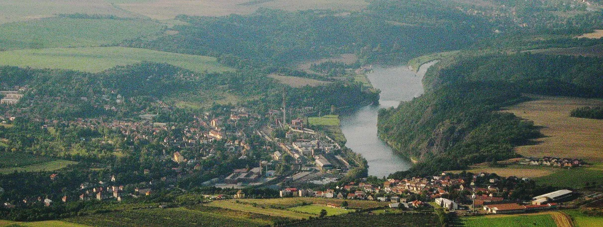
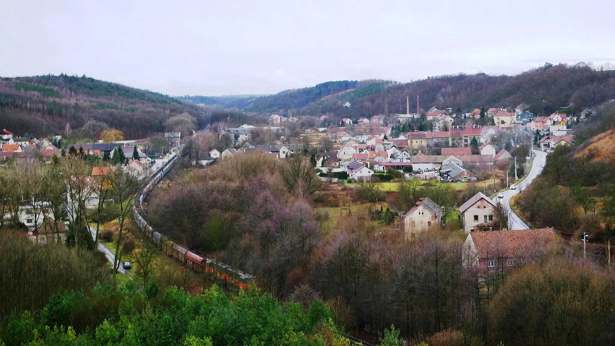
Otvovická skála236 mPeak ViewpointBe amazed by the striking Otvovická skála (Otvovice Cliff) at the 5-kilometer mark.
10 km
10 km
KolečVillagePass through the scenic village of Koleč, located 10 kilometers into the route.
22 km
22 km
Slánská hora330 mPeakChallenge yourself on the ascent to Slánská hora (Slanec Mountain) at the 22-kilometer mark.
27 km
27 km
TuřanyVillageEnjoy the picturesque scenery in the village of Tuřany at the 27-kilometer mark.
34 km
34 km
vrch Řipec313 mPeakClimb up to the top of vrch Řipec, offering panoramic views, at the 34-kilometer point.
40 km
40 km
BeřoviceVillagePass through the charming village of Beřovice after covering 40 kilometers.
46 km
46 km
NabdínVillageVisit the traditional village of Nabdín at the 46-kilometer mark.
56 km
56 km
řopíkViewpointDiscover the historic town of Řopík close to the end of the route.
57 km
57 km
Finish: Kralupy nad Vltavou City centerKralupy nad Vltavou: Tranquil cycling in a charming Czech town, Kralupy nad Vltavou.
Cycling routes nearby: