The Rolling Hills Route
A road cycling route starting from Allingabro
Enjoy the scenic views and challenging terrain of this road cycling route near Allingåbro.
Map
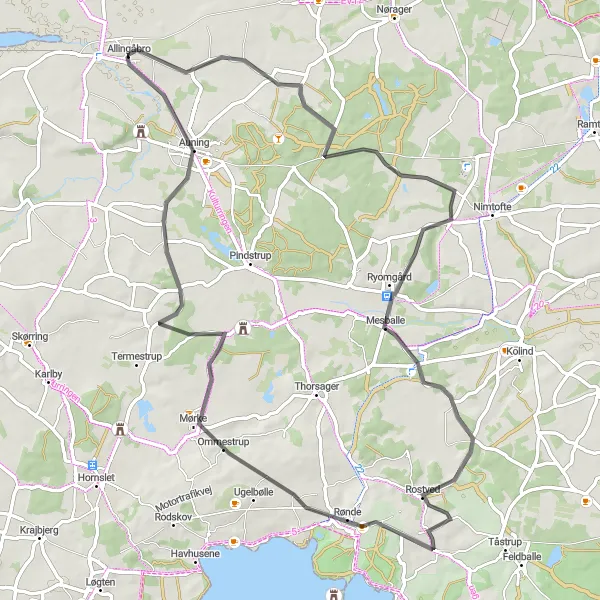
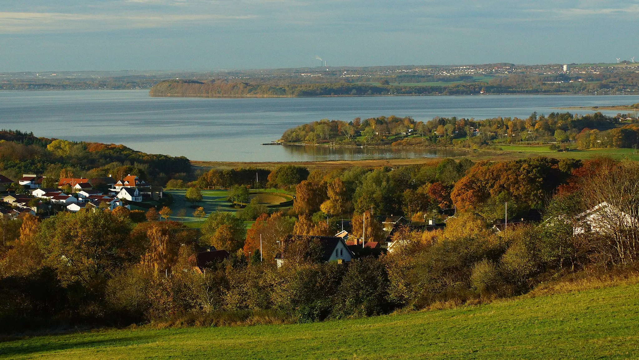
This route offers a mix of beautiful landscapes and challenging climbs, making it a great option for experienced cyclists looking for a new adventure. Starting in Allingåbro, you'll ride through small towns like Sønder Gjesing, Gammel Ryomgård, and Følle, where you can take a break and explore their charming architecture and local cuisine. The road surfaces are well-maintained, resulting in smooth and enjoyable riding. The overall difficulty of this route is moderate, with a few steep ascents that will test your strength and endurance. The highlights along the way include the Sønder Gjesing village, known for its traditional Danish houses, and Store Bavnehøj, the highest natural point in the region.
road
66 km
415 m
Tough
Route profile
Highlights on the route
0 km
0 km
Start: Allingåbro Village centerAllingåbro: Cycling adventures in Allingåbro
Allingåbro is a locality in Midtjylland, Denmark. As a road and gravel cyclist, you will find a variety of cycling routes in and around Allingåbro, ranging from scenic countryside trails to more challenging terrains. While there may not be any particularly famous climbs or cycling-related spots, the peaceful surroundings and varied landscapes make it a pleasant destination for cycling enthusiasts.7 km
7 km
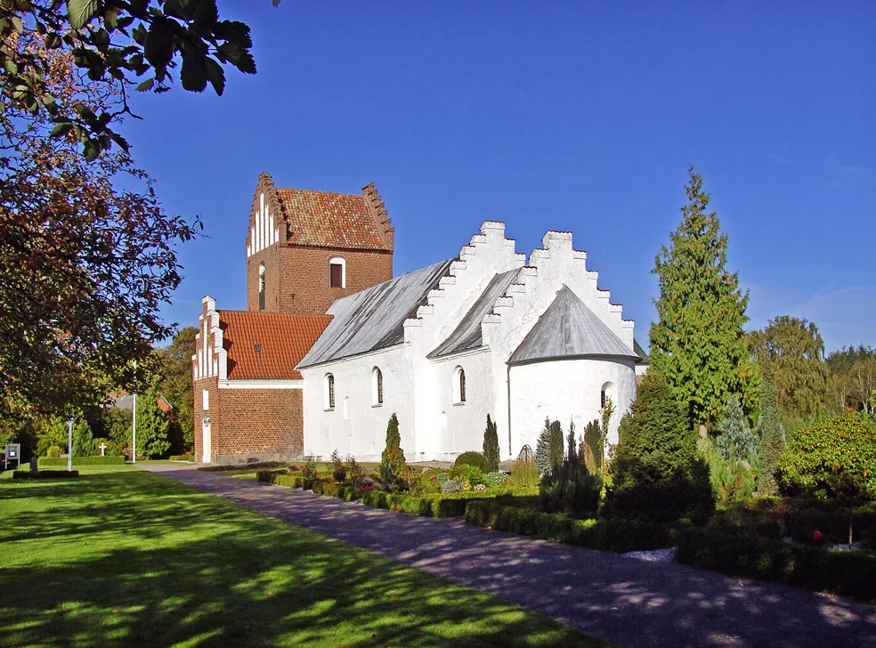
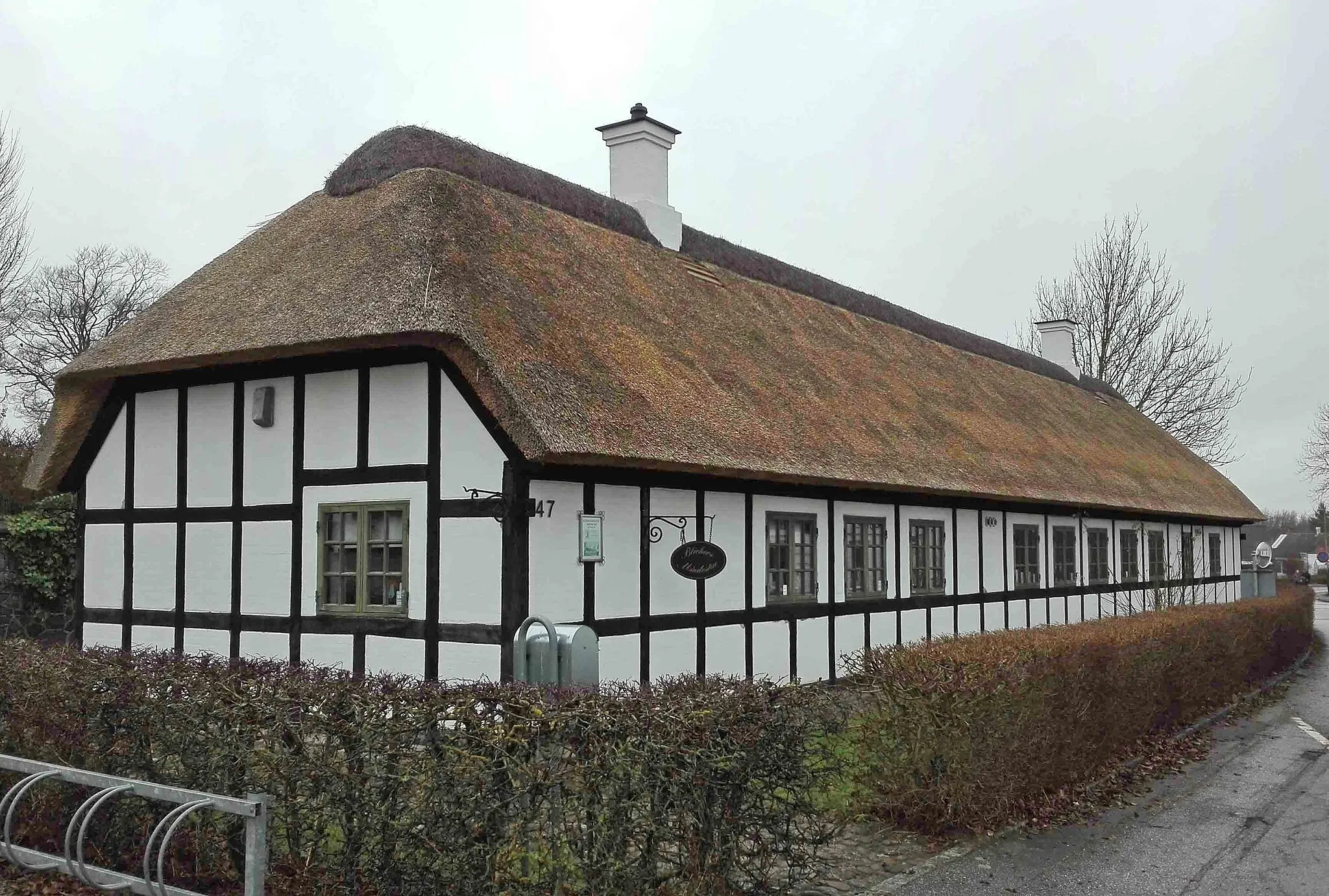
Sønder GjesingHamletSønder Gjesing, a small village with traditional Danish houses and local charm.
22 km
22 km
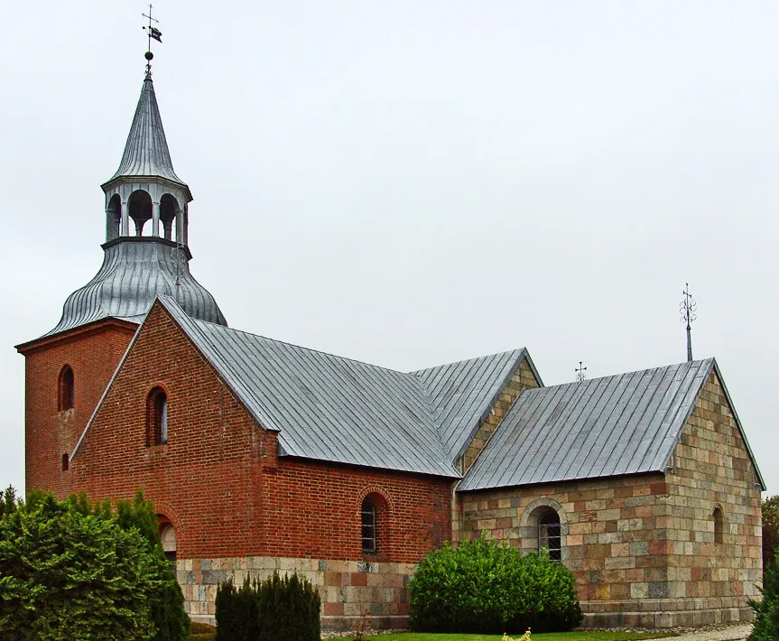
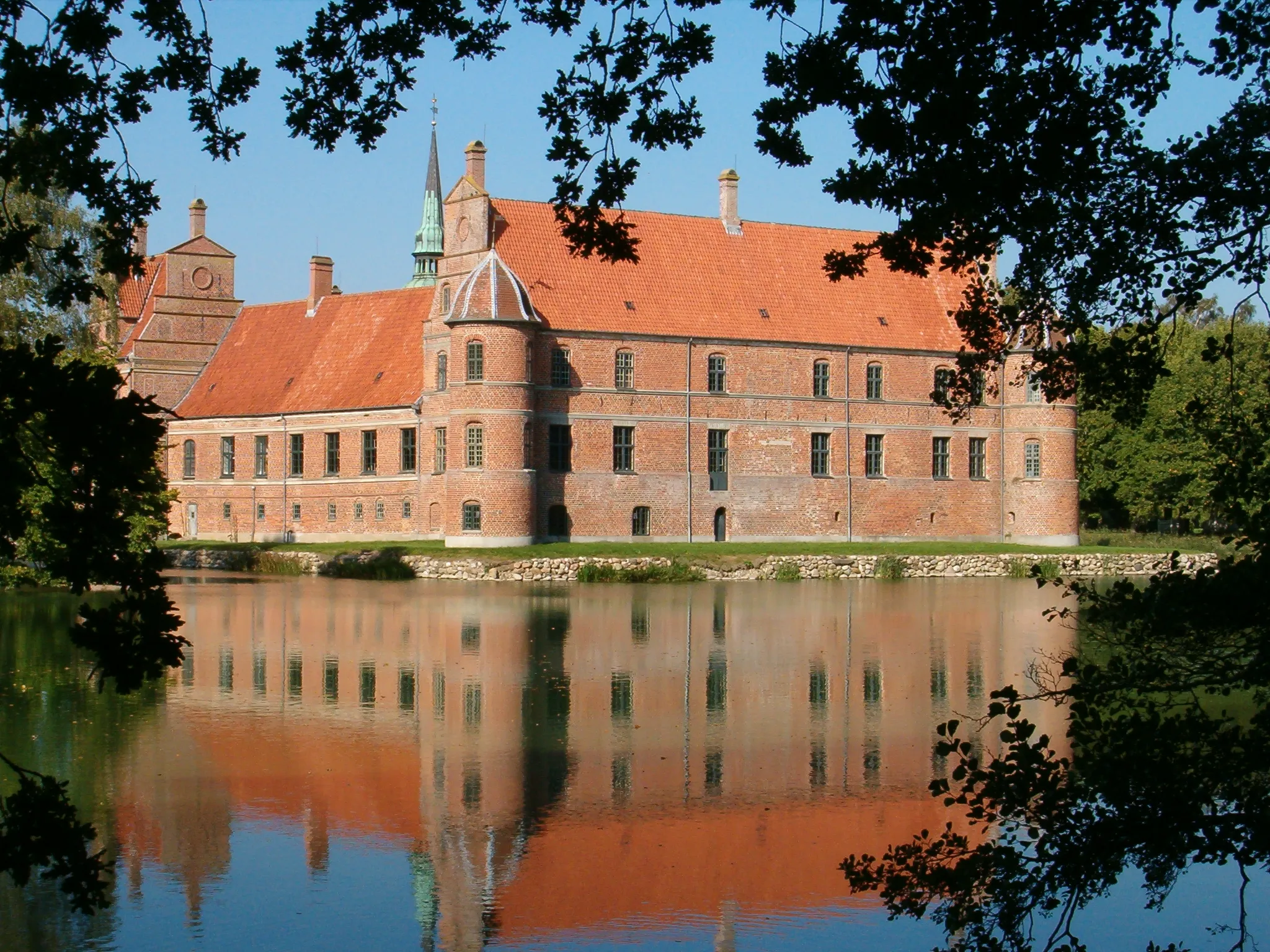
Gammel RyomgårdCastleGammel Ryomgård, a historic town with interesting architectural landmarks.
39 km
39 km
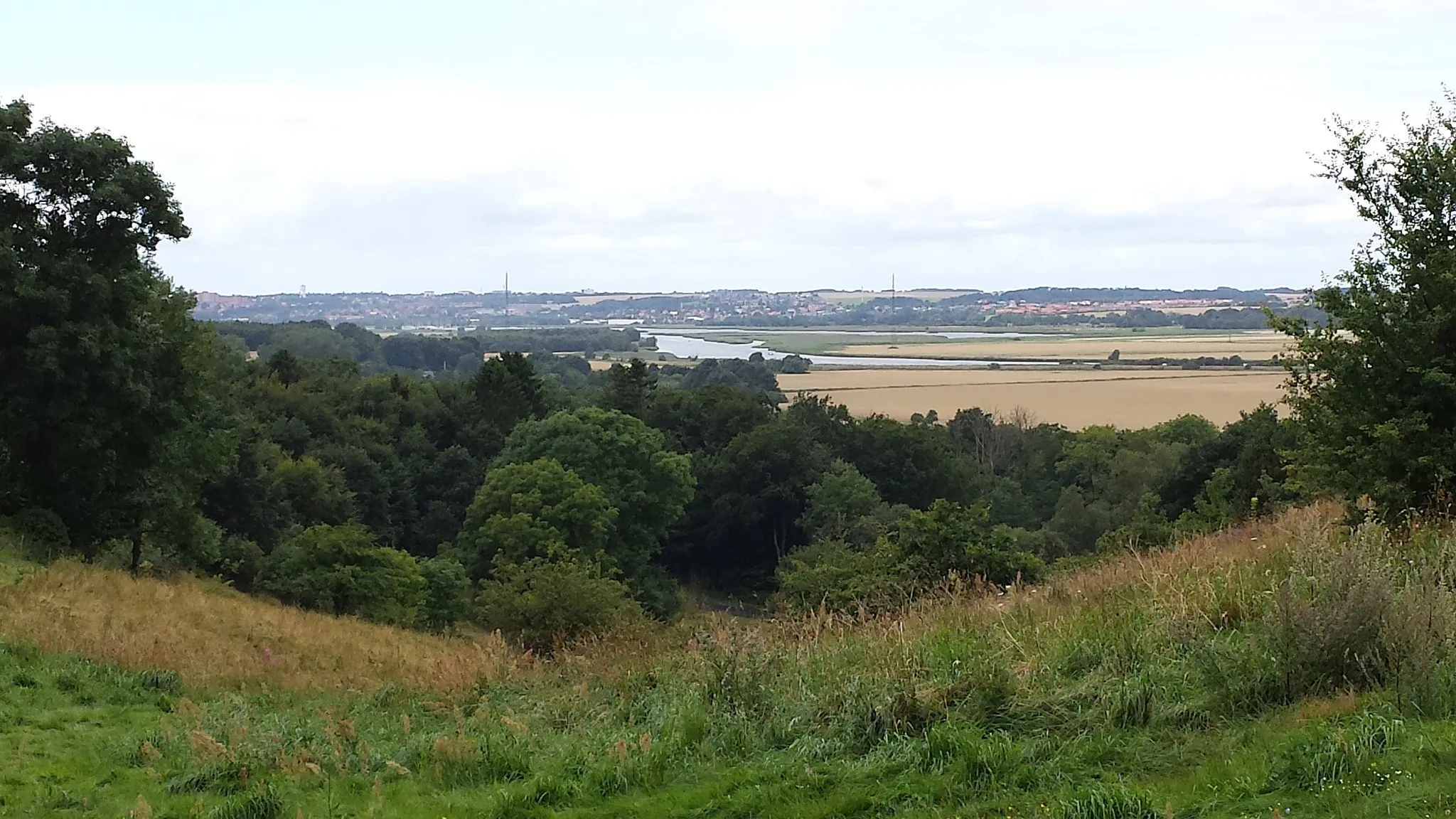
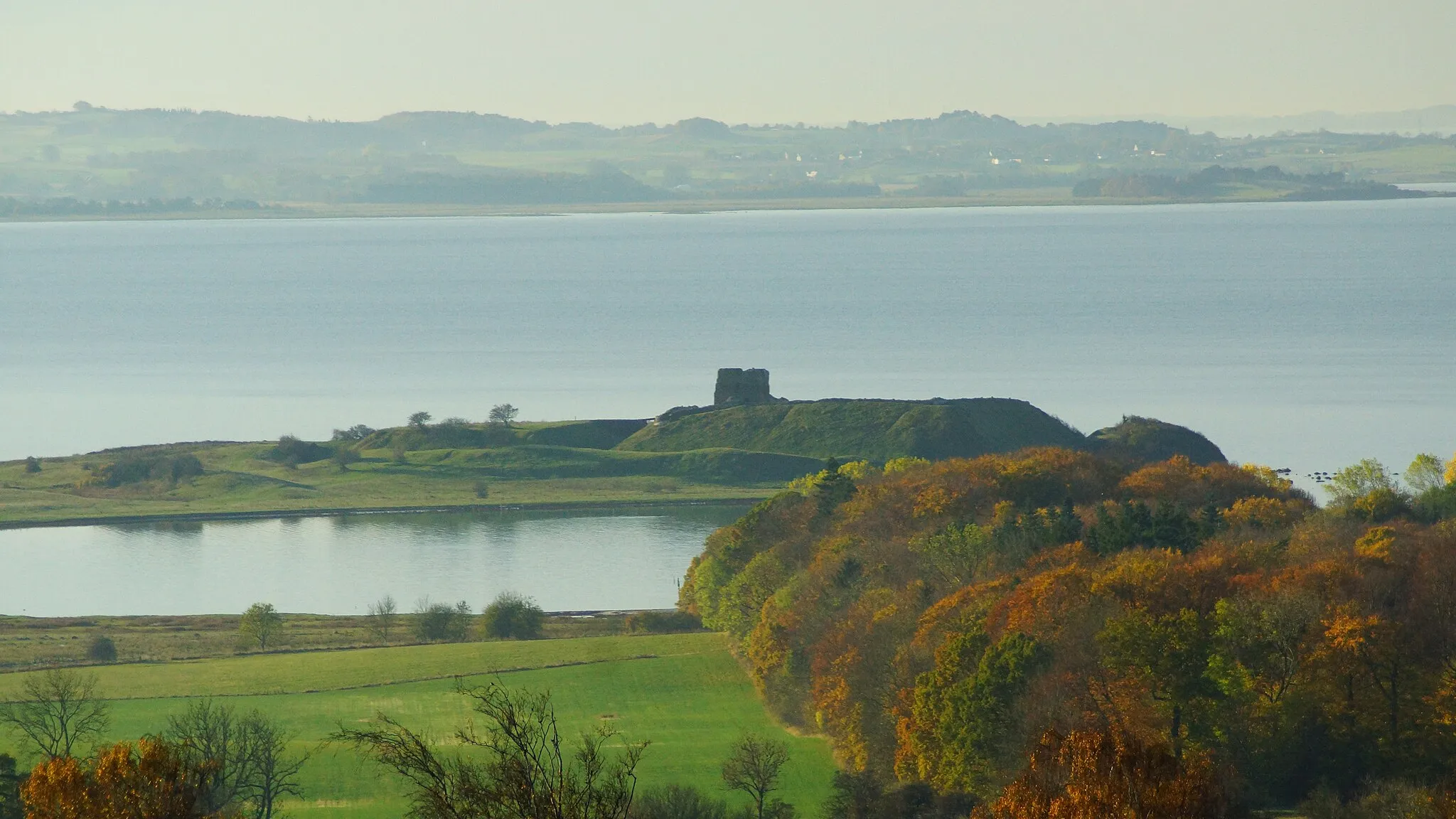
Store BavnehøjViewpointStore Bavnehøj, the highest natural point in the area, offering panoramic views.
42 km
42 km
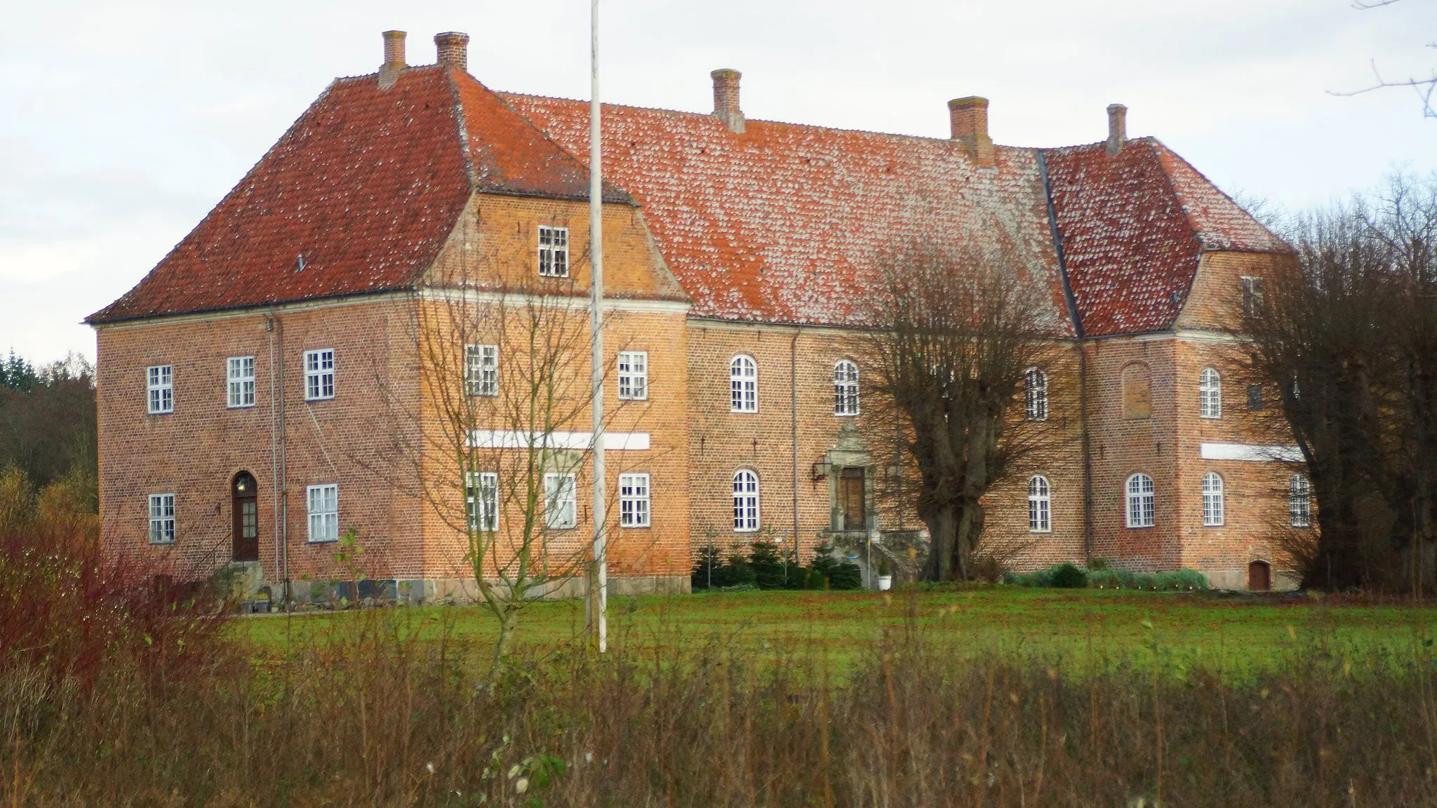
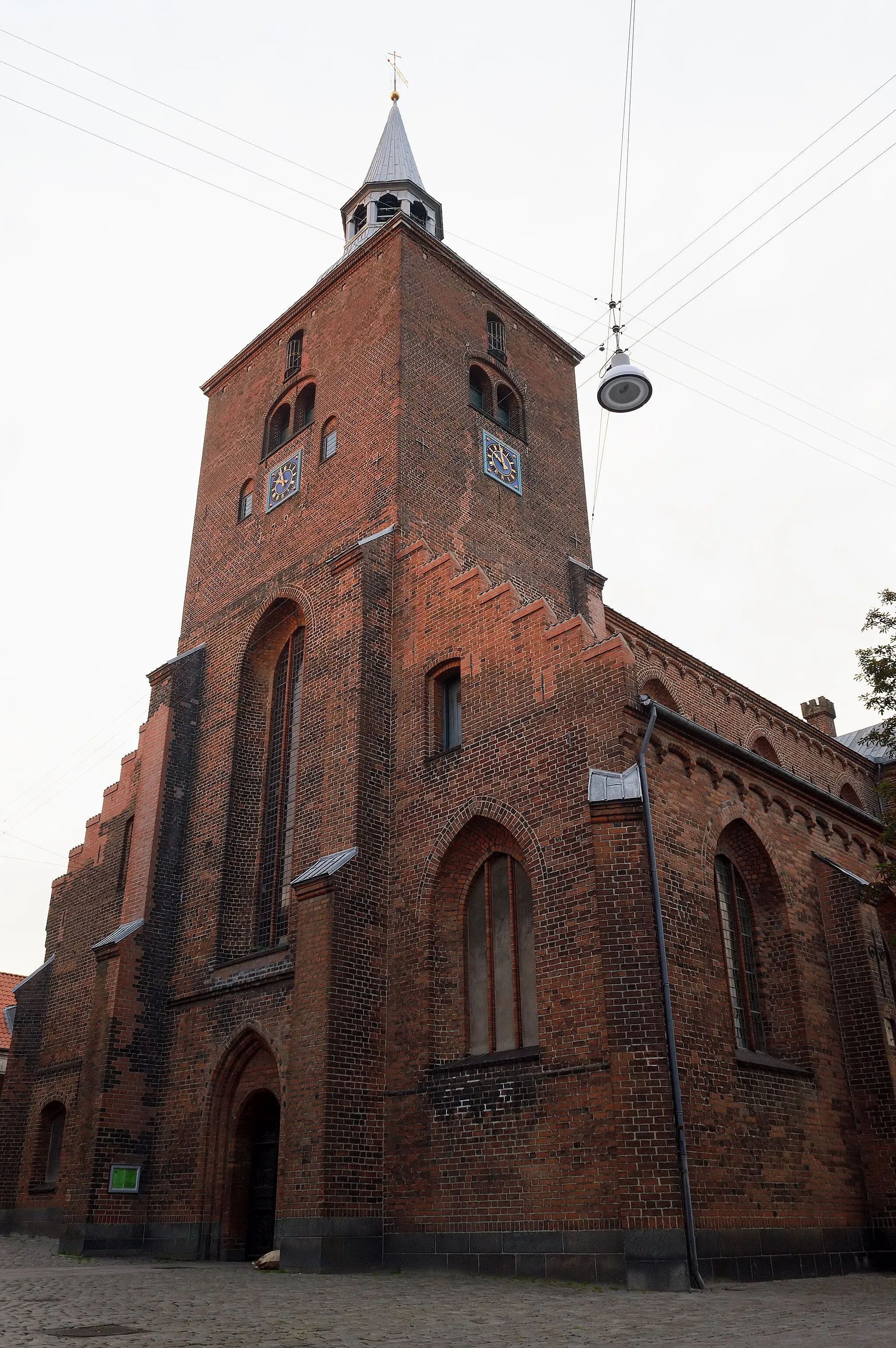
FølleSub-urbFølle, a picturesque town with coastal scenery and nice cafes.
61 km
61 km
AuningVillageAuning, a lively town with a variety of shops and eateries.
66 km
66 km
Finish: Allingåbro Village centerAllingåbro: Cycling adventures in Allingåbro
Cycling routes nearby: