Espe and Galgebakke Road Biking Route
A road cycling route starting from Orbaek
A scenic road biking route near Ørbæk with highlights including the village of Espe and the Galgebakke hill.
Map
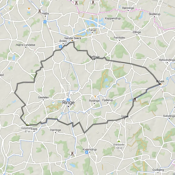
This road cycling route near Ørbæk offers stunning views of the surrounding countryside. The route includes highlights such as the picturesque village of Espe with its charming Danish architecture and the challenging ascent of Galgebakke, a hill known for its historical significance. With a moderate difficulty level and a length of 56 kilometers, this route is perfect for amateur cyclists looking for a scenic and enjoyable ride. The overall epicness of the route is rated as a 3, offering pleasant cycling with a chance to explore some interesting landmarks along the way.
road
56 km
155 m
Tough
Route profile
Highlights on the route
0 km
0 km
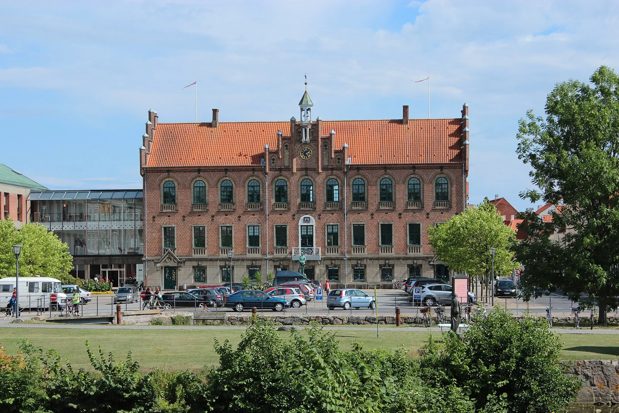
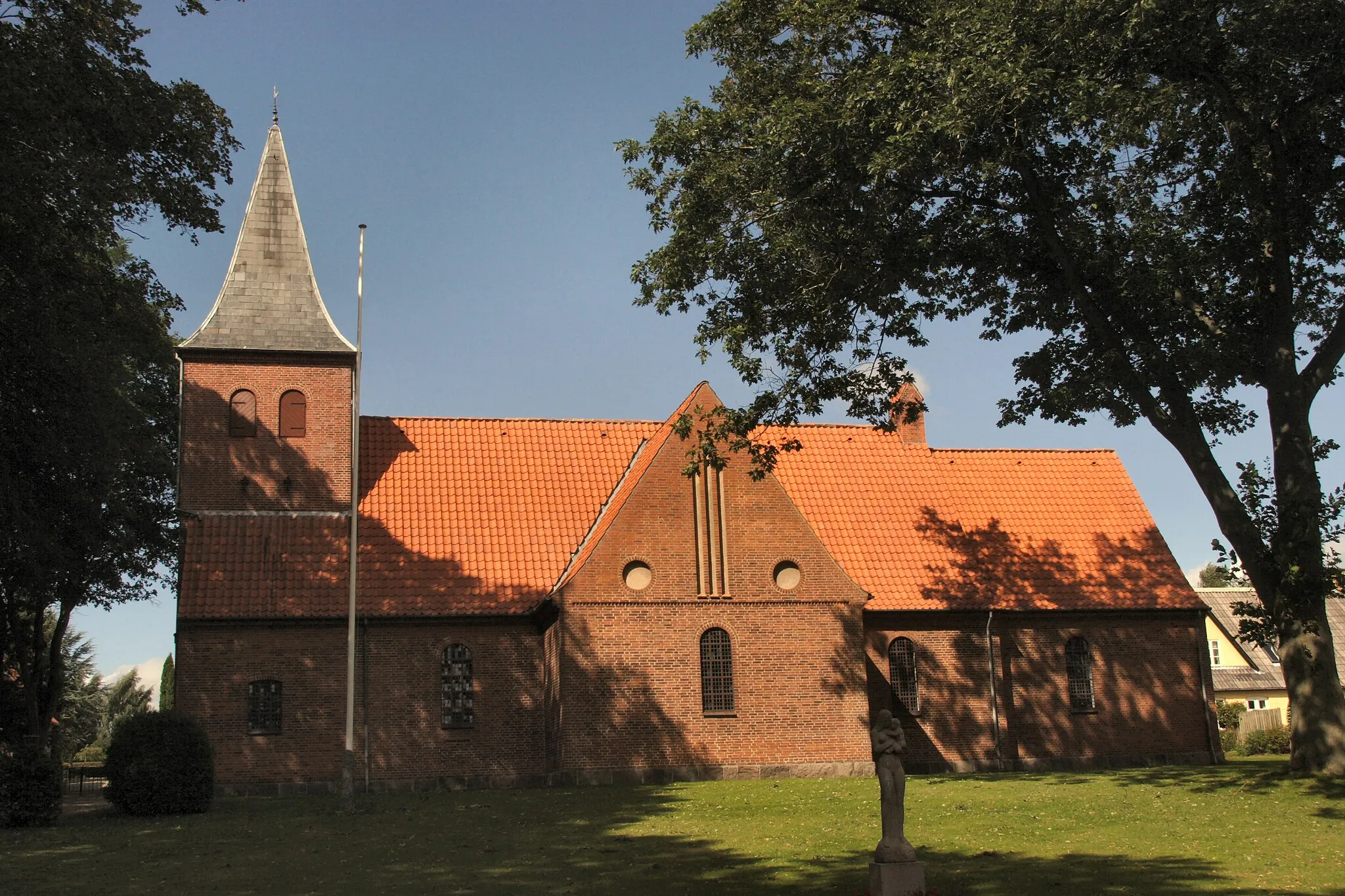
Start: Ørbæk Village centerØrbæk: Discover the enchanting countryside of Ørbæk through exhilarating cycling routes.
Ørbæk, located in the Syddanmark region of Denmark, provides an excellent cycling experience for both road and gravel cyclists. The area is characterized by picturesque countryside, charming villages, and rolling hills. Cyclists can enjoy riding on well-maintained roads that offer scenic views of the surrounding landscapes. Ørbæk is also near the Svanninge Bakker, a popular cycling destination with challenging climbs and panoramic views. With its beautiful countryside and diverse terrain, Ørbæk is a top choice for cyclists seeking varied and rewarding rides.22 km
22 km
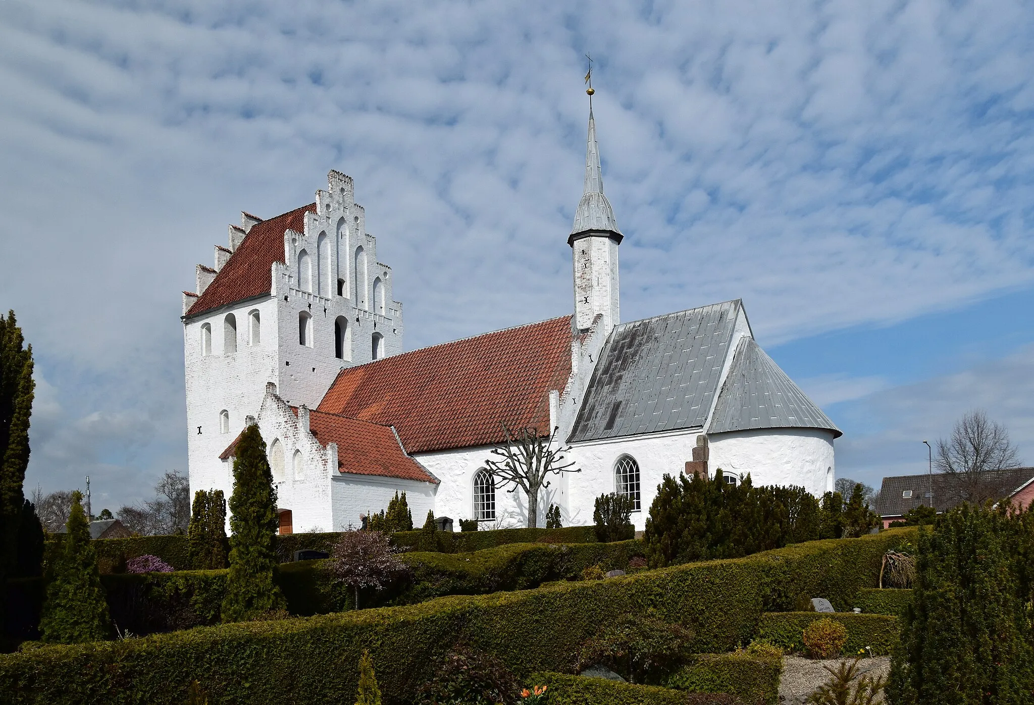
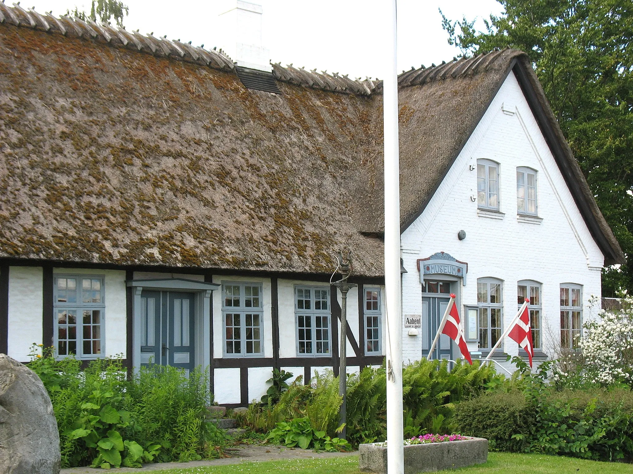
EspeVillageLocated along the route, the village of Espe features traditional Danish architecture and is a great spot for a break and some sightseeing.
23 km
23 km
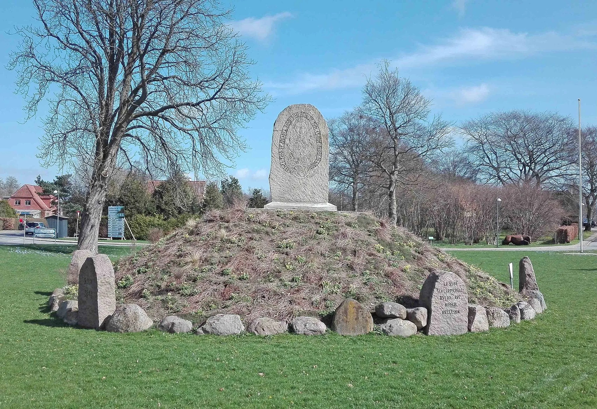
Galgebakke87 mPeakGalgebakke is a challenging hill along the route, known for its historical significance in the area. Cyclists can test their climbing skills and enjoy panoramic views from the top.
41 km
41 km
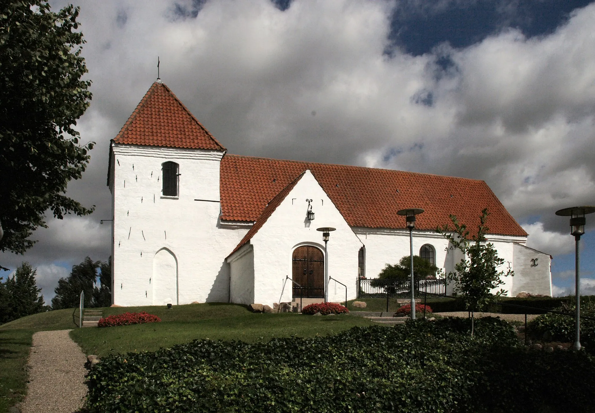
Sønder NæråVillageSønder Nærå, located along the route, is a beautiful area surrounded by nature, offering peaceful cycling and a chance to see local wildlife.
56 km
56 km
Finish: Ørbæk Village centerØrbæk: Discover the enchanting countryside of Ørbæk through exhilarating cycling routes.
Cycling routes from Orbaek:
Tommerup Hillside Loop Ringe Lake Loop Northern Funen Exploration Espe and Galgebakke Road Biking Route Ringe Sø and Ferritslev Road Biking Route Southern Funen Challenge Frørup and Hesselagergård Road Biking Route South Funen Delight Ringe and Hjallese Road Biking Route Ringe Sø and Hindehøj Road Biking Route
Cycling routes nearby: