Captivating landscapes and vineyards await in Bœrsch.
Cycling routes from Boersch
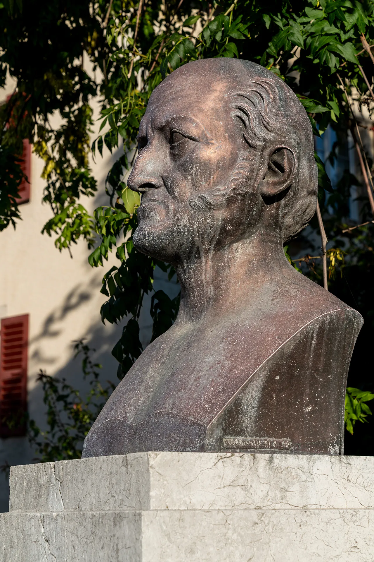
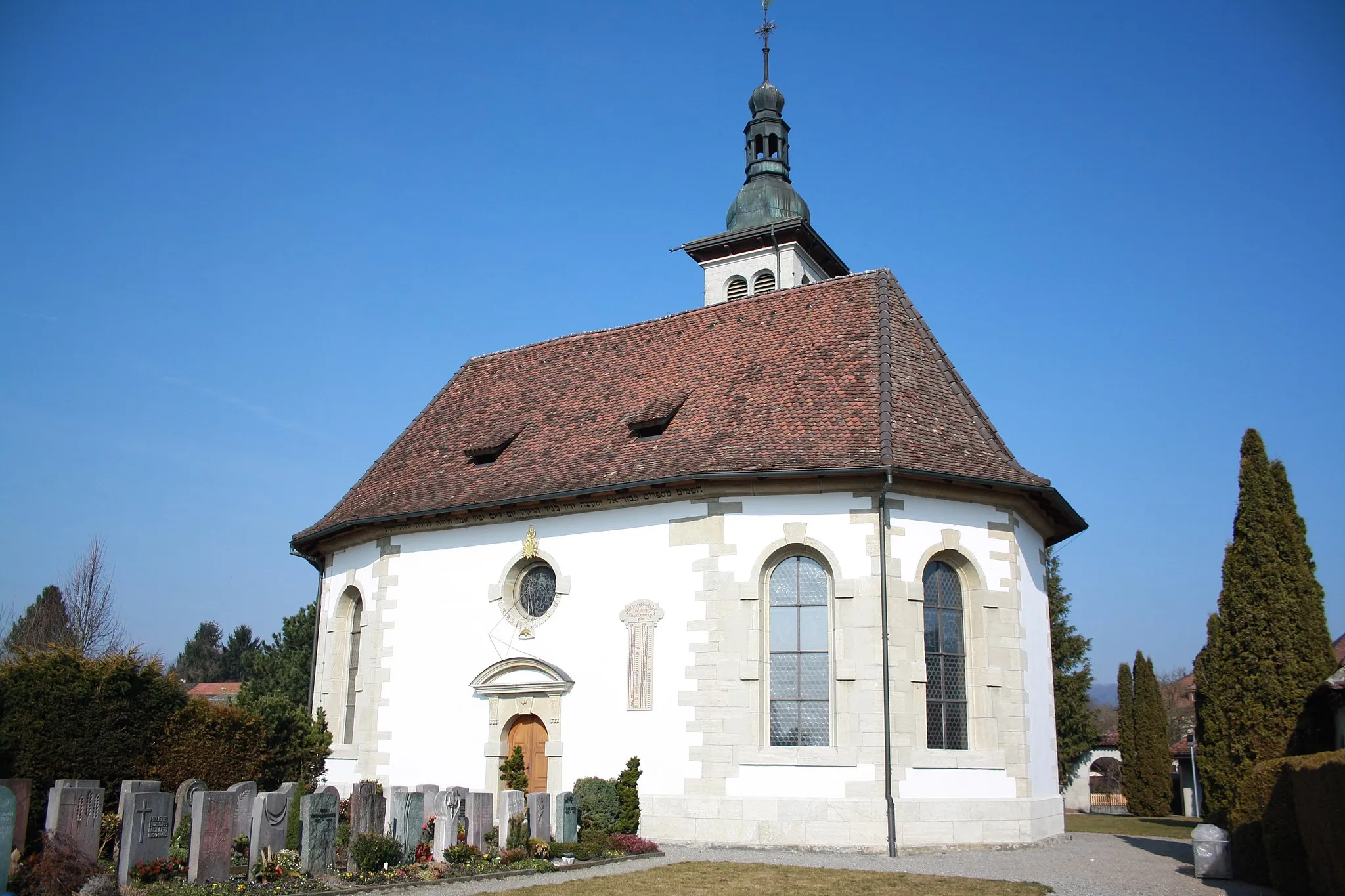
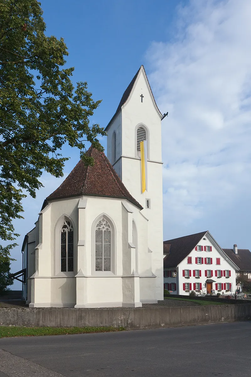
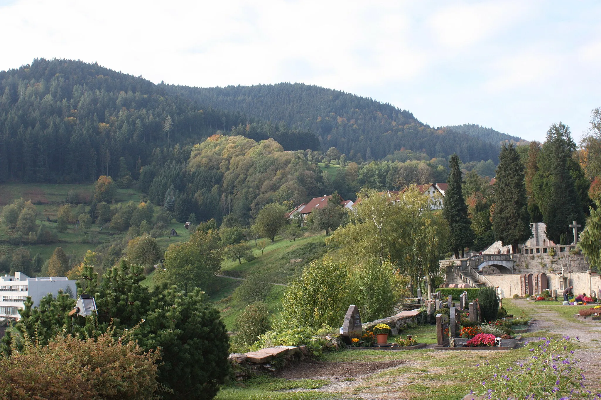
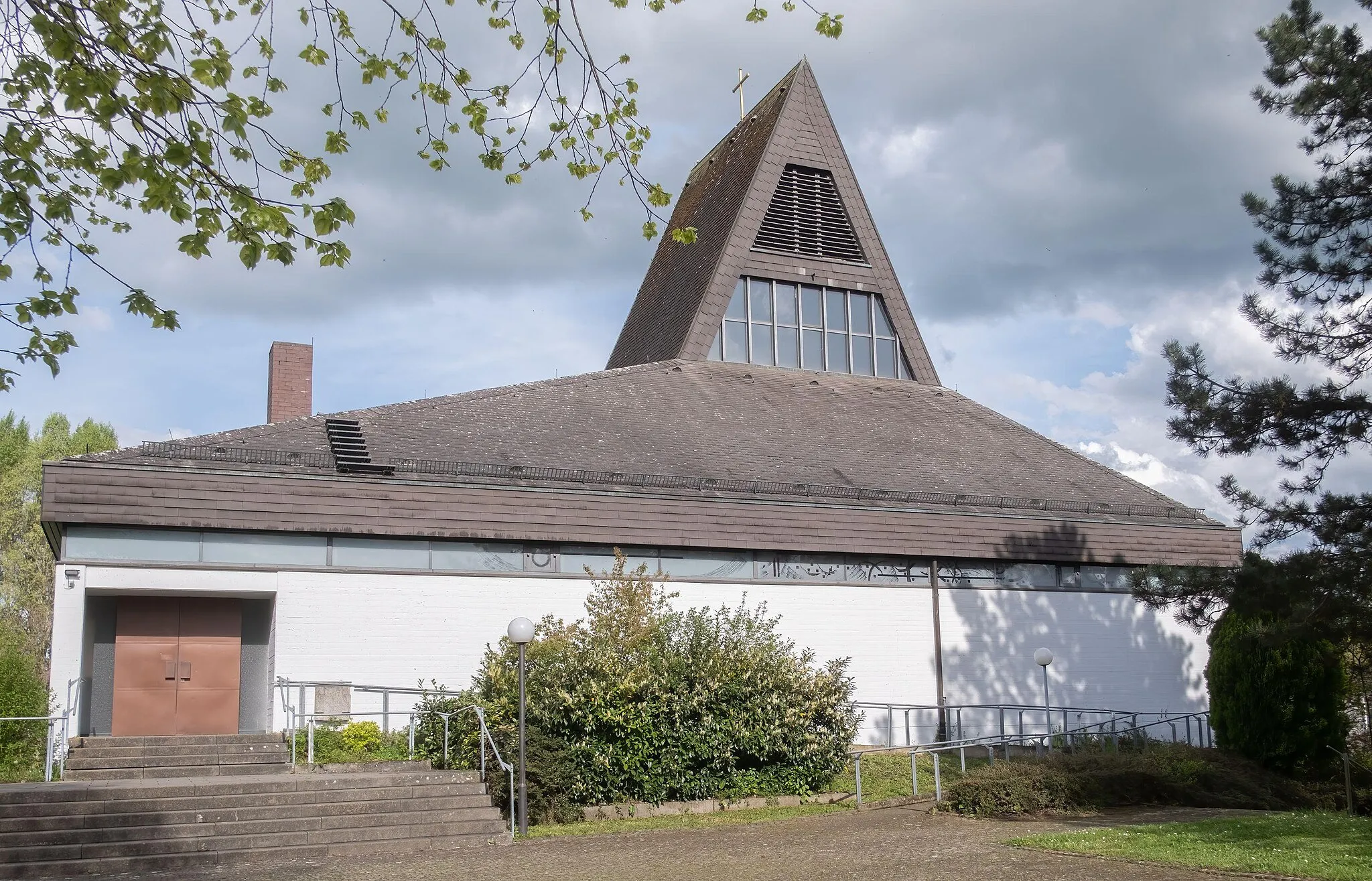
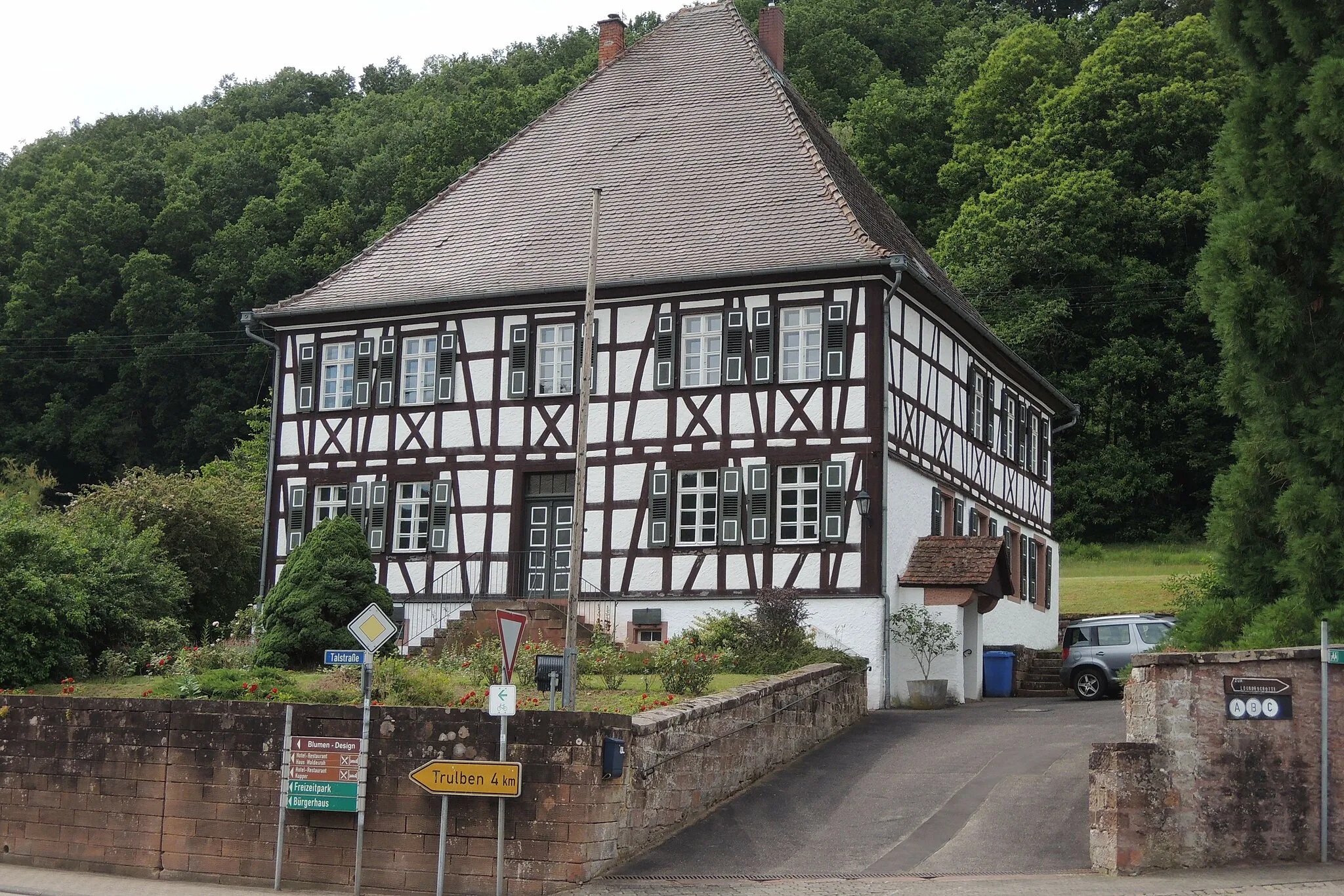
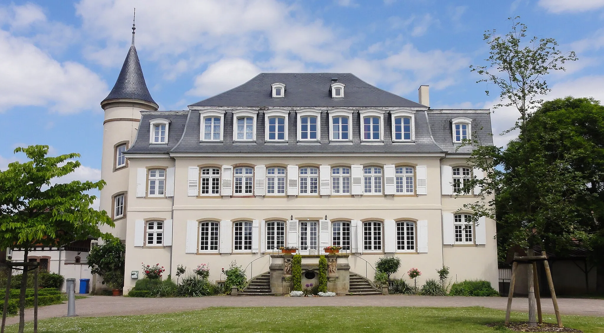
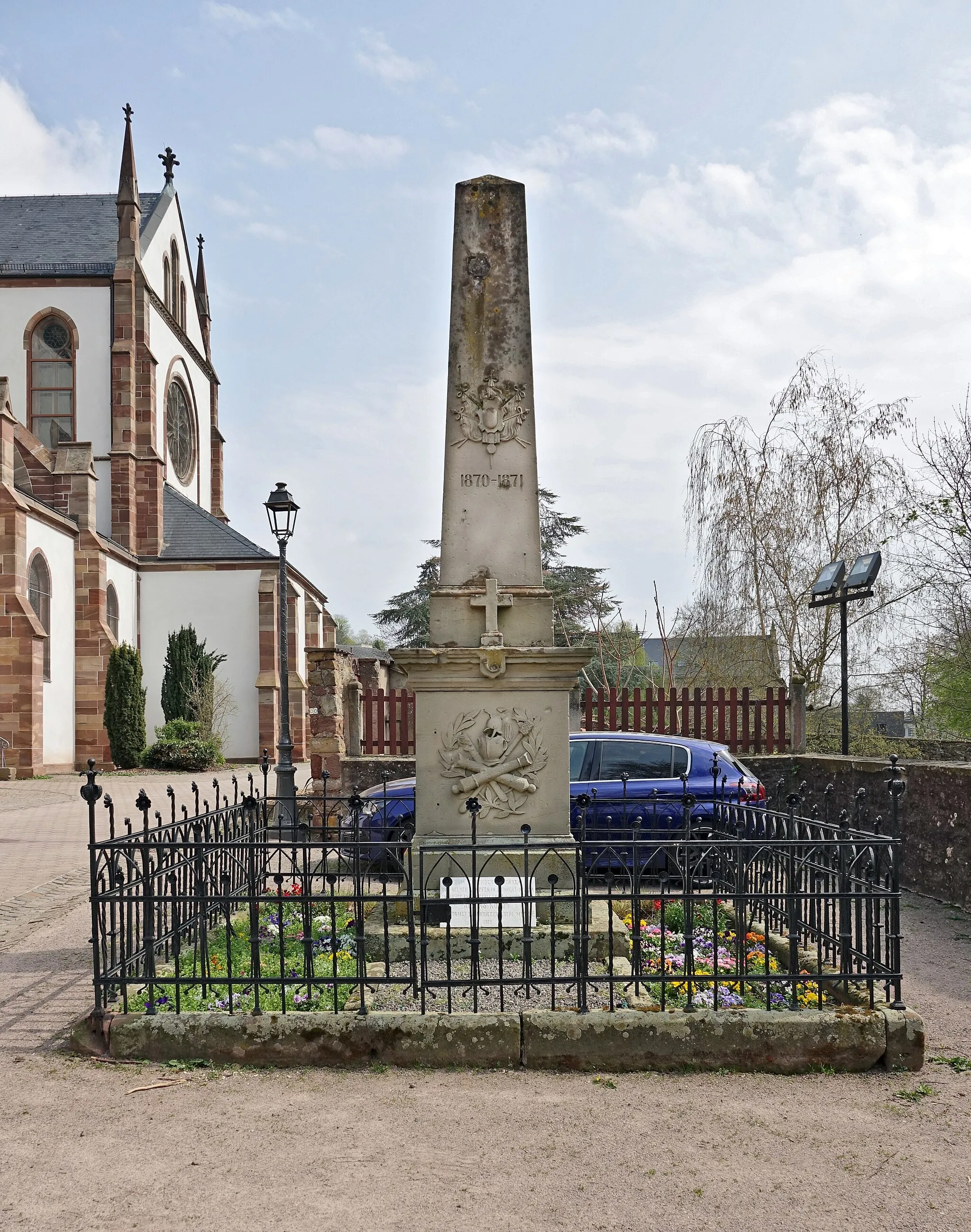
Bœrsch is a locality located in Alsace, France. From a cyclist's perspective, Bœrsch is an enchanting location with its scenic cycling routes surrounded by rolling vineyards and picturesque villages. The region offers a mix of flat and hilly terrain, catering to various cycling preferences. Cyclists can explore nearby highlights such as Mont Sainte-Odile, which offers magnificent views and challenging climbs. Bœrsch promises a memorable cycling experience with its captivating landscapes and rich cultural heritage.
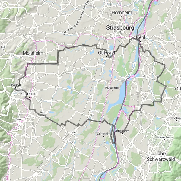
Embark on a breathtaking road cycling journey through the scenic landscapes of the Alsace region
This panoramic road cycling route near Bœrsch covers a distance of 118 kilometers and has an ascent of 332 meters. Suitable for experienced cyclists, this route takes you through the stunning beauty of the Alsace region. Begin your journey in Dorlisheim and enjoy the picturesque views along the way. Pass through Hangenbieten and Illkirch-Graffenstaden, two towns known for their historic architecture and natural beauty. Cross the border into Kehl, Germany, and experience the unique blend of cultures. Continue your ride through Schutterwald and immerse yourself in its serene rural landscapes. The final highlights include Ichenheim, where you can explore its charming streets, and Valff, a picturesque village with traditional timber-framed houses.

Embark on a road cycling adventure through the picturesque towns of Duttlenheim and Leonardsau
This road route near Bœrsch takes you through the scenic towns of Duttlenheim and Leonardsau. Covering a distance of 54 kilometers and with an ascent of 152 meters, this route is suitable for cyclists of all levels. Admire the beautiful architecture of Duttlenheim and soak in the serene atmosphere. Continue your ride to the Domaine de la Leonardsau, a historic site with stunning gardens and picturesque surroundings. Discover Geispolsheim, known for its ancient buildings and vibrant local culture. Hindisheim and Krautergersheim are two charming Alsatian villages where you can explore their unique traditions and rich history.
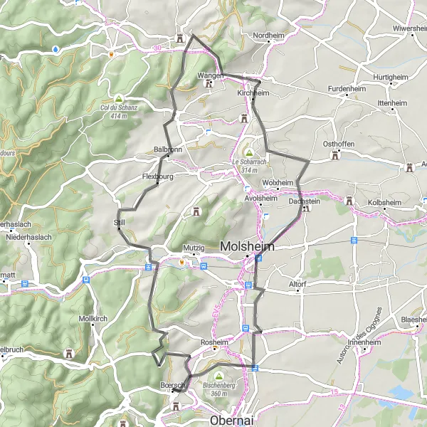
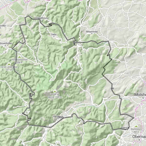
A delightful journey to the Rocher du Geissfels and a tour of Molsheim
Discover the beauty of Alsace on this scenic road cycling route that takes you to the stunning Rocher du Geissfels and the charming town of Molsheim. With an ascent of 610 meters and a distance of 56 kilometers, this route is suitable for beginner to intermediate cyclists. Highlights include the Rocher du Geissfels, Marlenberg, and Bischenberg. Immerse yourself in the cultural heritage and natural wonders of the region.

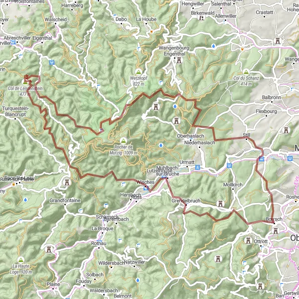
A picturesque gravel route that leads to the beautiful Schwarzkopf peak
Experience the thrill of gravel cycling on this scenic route that takes you to the stunning Schwarzkopf peak. With an ascent of 1,724 meters and a distance of 70 kilometers, this route is suitable for intermediate gravel cyclists. Highlights include the Schwarzkopf, Muhlbach-sur-Bruche, Grossmann, and Niedertor. Enjoy the serene landscapes and picturesque villages as you delve into the beauty of Alsace's countryside.
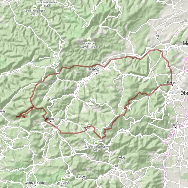
Embark on a thrilling gravel challenge through the rugged landscapes of Champ du Feu
This gravel route near Bœrsch offers a challenging adventure through the scenic landscapes of Champ du Feu. With a distance of 92 kilometers and an ascent of 2423 meters, this route is suitable for experienced gravel cyclists seeking an epic challenge. Begin your journey at the Domaine de la Leonardsau and soak in its historic atmosphere before tackling the steep climbs of Heidenkopf and Champ du Feu. Immerse yourself in the unspoiled beauty of Blancherupt and enjoy the panoramic views from Monument des Passeurs. Ride through La Haute Loge and Kohlberg, two picturesque villages with breathtaking scenery. Pass by Lutzelhouse and Rosenwiller, where you can appreciate their tranquil charm.
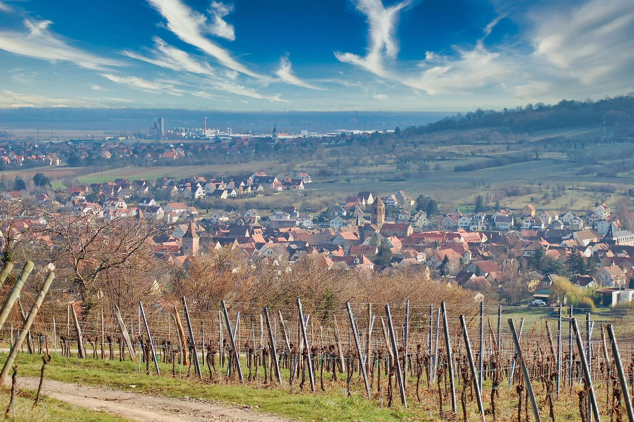
Alsace Wine Route
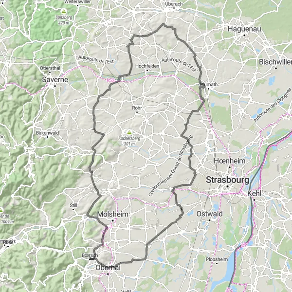
Cycle along the famous Alsace wine route with stunning scenic views
The Alsace Wine Route is a picturesque cycling route through the wine-growing region of Alsace in France. The route takes you through charming vineyards, quaint villages, and stunning countryside, showcasing the beauty of the region. Along the way, you can explore historic landmarks, taste delicious local wines, and admire the unique architecture of the region. The route offers a mix of flat stretches and gentle ascents, making it suitable for well-trained amateur cyclists. The Alsace Wine Route is a must-visit for wine lovers, nature enthusiasts, and those seeking a leisurely cycling adventure.

An adventurous ride to the Temple du Donon and a journey to the Grossmann summit
Embark on a thrilling road cycling adventure that takes you to the historic Temple du Donon and the spectacular Grossmann summit. With an ascent of 2,381 meters and a distance of 117 kilometers, this challenging route is perfect for experienced cyclists. Highlights include the Breitsteige, Schwarzbach, Grand Soldat, and Wangenbourg-Engenthal. The scenic landscapes and cultural landmarks along the way add an element of excitement to this epic cycling experience.

Discover the rugged beauty of the Geissfels rock formation and explore the picturesque Kochersberg region
This gravel route starting near Bœrsch takes you through the scenic landscapes of the Geissfels and the charming Kochersberg villages. With a distance of 58 kilometers and an ascent of 626 meters, this moderately difficult route is suitable for experienced gravel cyclists. Enjoy the stunning views from the Rocher du Geissfels and immerse yourself in the rich history of Dinsheim-sur-Bruche. The route also takes you to Bergbieten, known for its vineyards, and Dossenheim-Kochersberg, where you can admire traditional Alsatian architecture. Be sure to make a stop at Kolbsheim and Bischoffsheim, two picturesque towns with a rich cultural heritage. Reach the final highlight at Bischenberg, a significant religious site.
Embark on a thrilling gravel adventure through the idyllic landscapes of Schwarzkopf and Schneeberg
This challenging gravel route near Bœrsch takes you through the idyllic landscapes of Schwarzkopf and Schneeberg. Covering a distance of 94 kilometers and with an ascent of 2204 meters, this route is suitable for experienced gravel cyclists seeking a true adventure. Begin your journey with the ascent of Schwarzkopf and enjoy the breathtaking views from the summit. Ride through Grendelbruch, a charming village known for its historic architecture and traditional charm. Explore Le Petit Donon, where you can discover the monument honoring the local resistance fighters. Pass through Kanzlei and appreciate the untouched beauty of the surrounding nature. Enjoy the scenic views from Schneeberg and discover the Table d'orientation, providing information about the points of interest. Continue your ride through Dinsheim-sur-Bruche and Aftertor, two beautiful destinations teeming with historic charm.
A scenic cycling adventure through the Breitsteige and a visit to the historic Temple du Donon
This road cycling route takes you on a thrilling journey through the beautiful Alsace region, including highlights such as the Breitsteige, Schwarzbach, and the Temple du Donon. With a total ascent of 2,306 meters and distance of 120 kilometers, this challenging route is perfect for well-trained amateur cyclists. The scenic views and cultural landmarks along the way make it an epic cycling experience.
Cycling routes nearby:


Nearby regions: