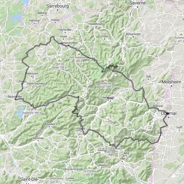
Pedaling through the enchanting wonders of Alsace
Cycling routes from Obernai
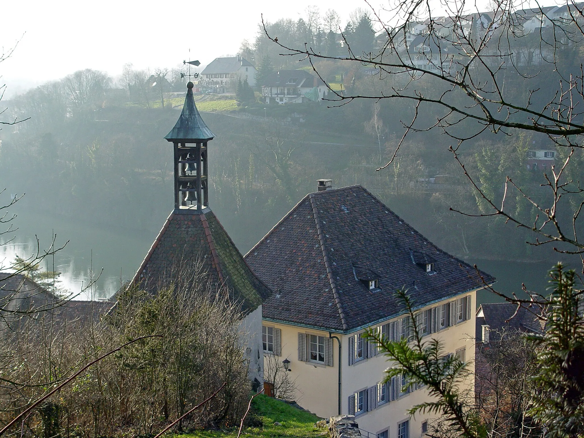
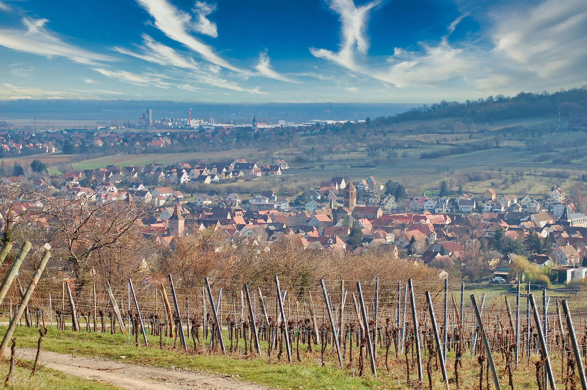
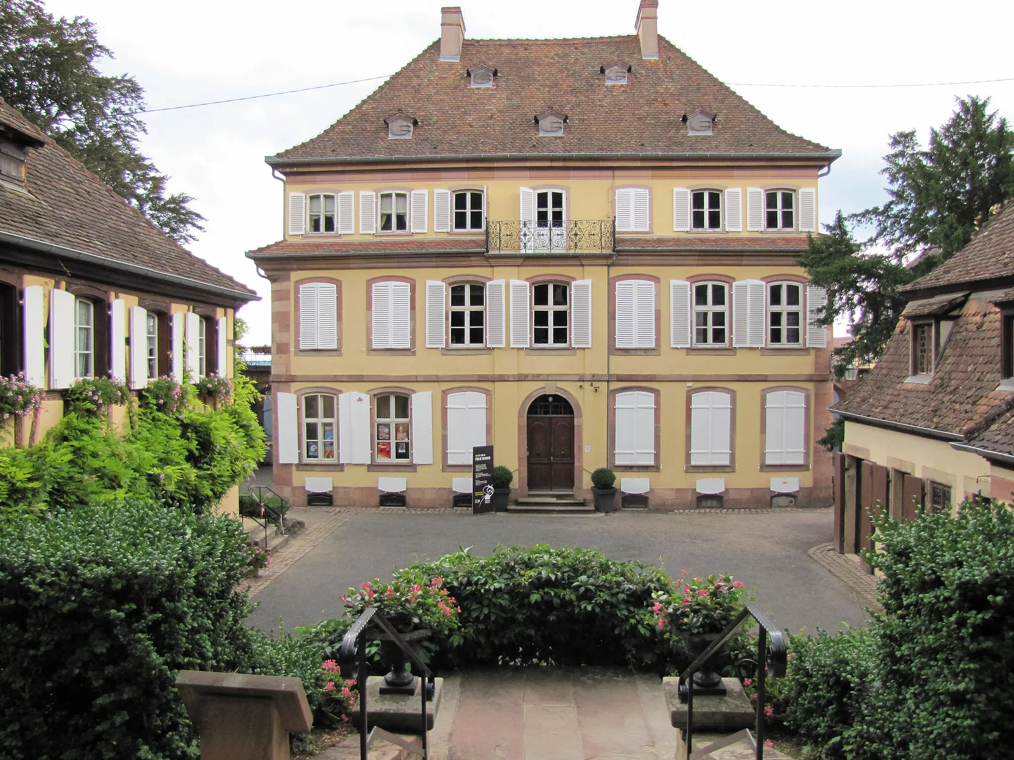
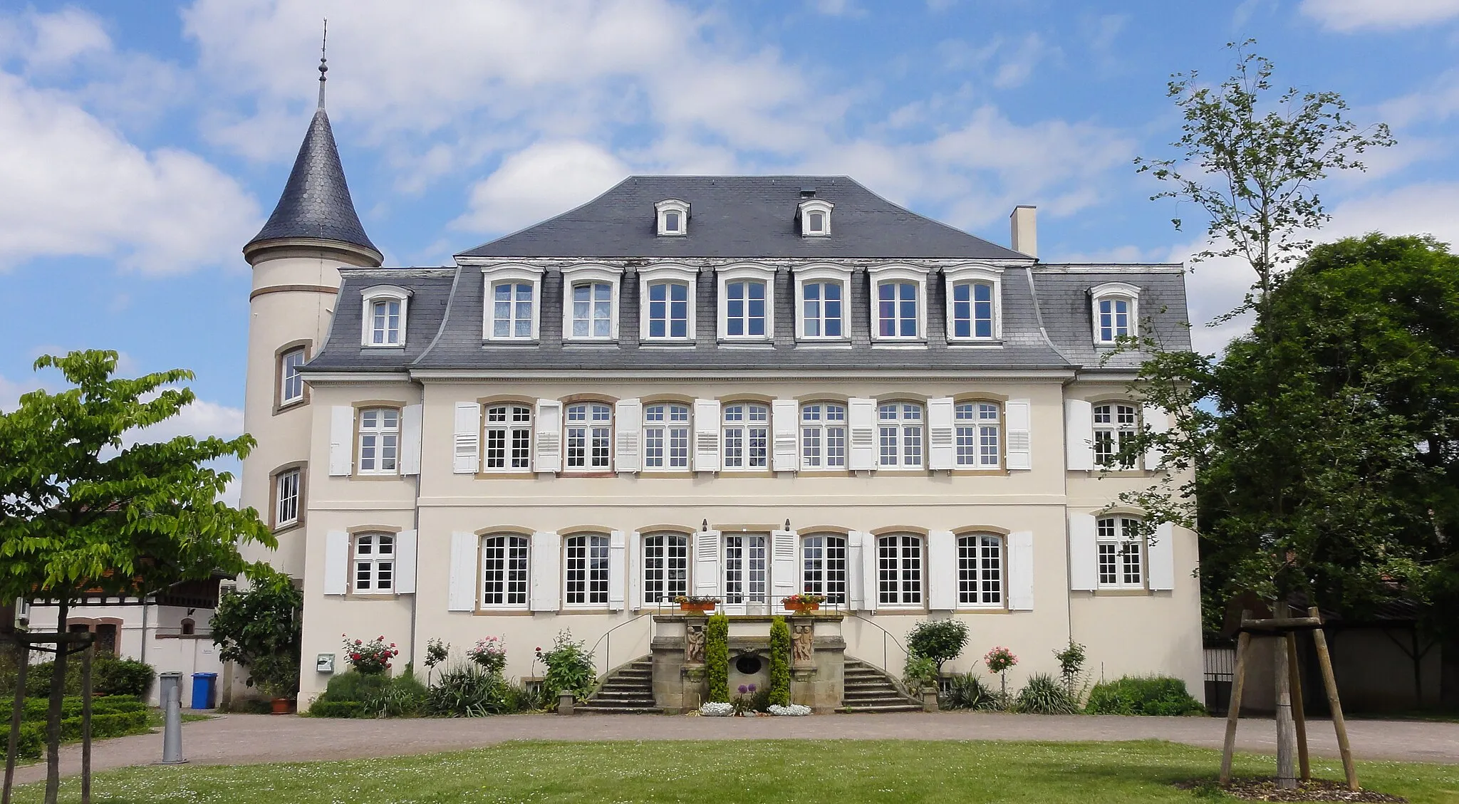
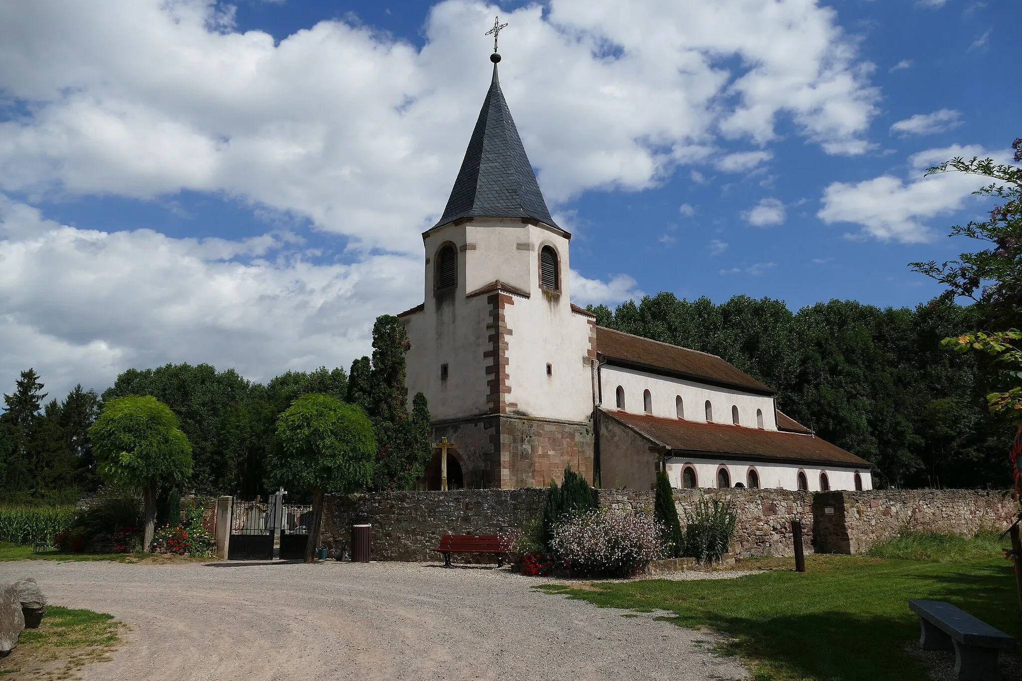
Obernai is a charming town located in the Alsace region of France. From a cyclist's perspective, Obernai offers an enchanting setting for both road and gravel cycling. The region is known for its vineyards and picturesque landscapes, providing cyclists with beautiful scenery while riding through the rolling hills. Obernai is also surrounded by various well-known climbs, such as Mont Sainte-Odile and Le Hohwald, attracting avid cyclists who seek challenging ascents. With its blend of natural beauty and cycling opportunities, Obernai is a must-visit destination for cycling enthusiasts.
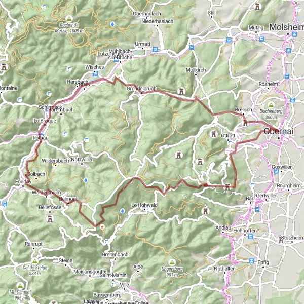
Embark on an epic gravel cycling adventure from Bernardswiller to Domaine de la Leonardsau
Experience the thrill of gravel cycling as you ride from Bernardswiller to Domaine de la Leonardsau. This challenging route features a total ascent of 1684m and covers a distance of 71km. Discover the untamed beauty of the Vosges mountains and explore hidden gems along the way. Highlights of the route include the picturesque village of Kienberg, the stunning Champ du Feu, and the charming village of Grendelbruch. With its diverse terrain and breathtaking views, this route is perfect for adventurous cyclists seeking a memorable gravel cycling experience in Alsace.
Tour of Obernai and Surroundings
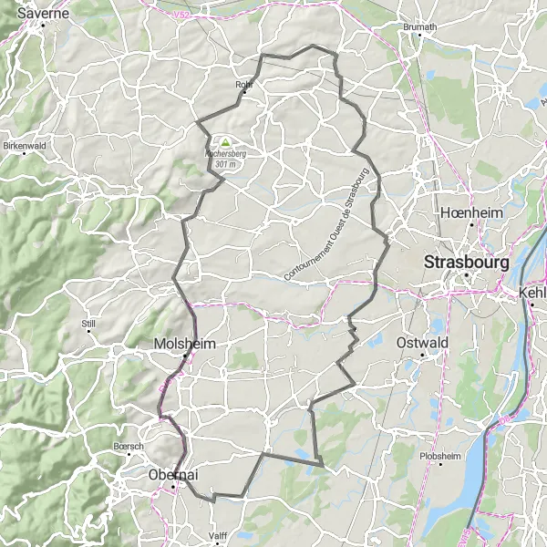
Cycle through the scenic towns and charming countryside near Obernai
Embark on a picturesque cycling adventure near the lovely town of Obernai in Alsace, France. This route takes you through beautiful landscapes, charming towns, and quaint villages that showcase the region's rich history and natural beauty. Suitable for road biking, this 94-kilometer route offers a moderate challenge with a total ascent of 534 meters. Highlights along the way include Obernai itself, Le Scharrach, the Belvedere viewpoint, Willgottheim, Berstett, and Stimmelsberg. Experience the allure of Alsace's cycling trails and immerse yourself in the unique charm of the region.
The Ottrott Loop
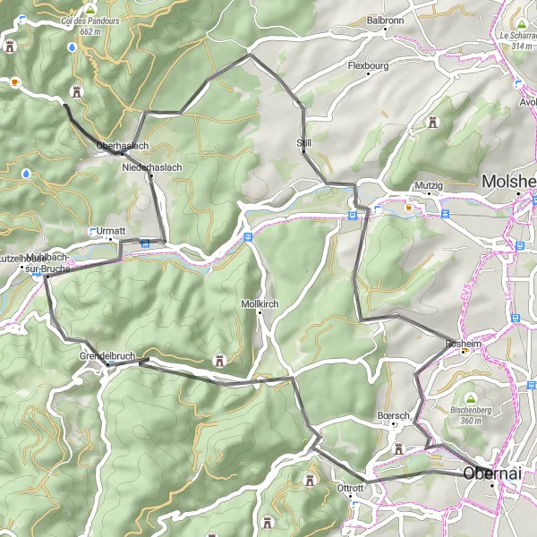
Discover the charming village of Ottrott and its surrounding natural beauty
Embark on a scenic cycling adventure through the beautiful landscapes near Obernai. The Ottrott Loop takes you on a journey through picturesque towns, rolling vineyards, and breathtaking natural landmarks. With a total distance of 58 kilometers and an ascent of 771 meters, it offers a challenging ride for well-trained amateurs. This route is perfect for road biking enthusiasts who enjoy a mix of smooth country roads and serene gravel paths. Experience the historical charm of Ottrott, marvel at the steep cliffs of Rocher du Geissfels, and soak in the panoramic views of the region as you pedal through quaint villages like Oberhaslach and Rosheim.
The Molsheim Adventure
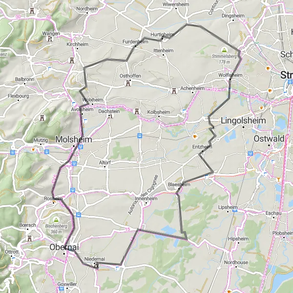
Embark on a scenic journey through Molsheim and its enchanting surroundings
Get ready for an exciting cycling adventure on the Molsheim route near Obernai. With a total distance of 69 kilometers and an ascent of 331 meters, this road cycling itinerary is suitable for well-trained amateur cyclists. Enjoy the mix of smooth roads and occasional challenging climbs as you explore the stunning landscapes and historic towns in the region. From the charming town of Obernai to the captivating beauty of Meistratzheim, this route promises numerous highlights and photo-worthy spots.
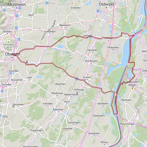
Embark on a gravel adventure through the beautiful countryside near Obernai
Experience the thrill of gravel biking as you explore the picturesque countryside near Obernai in Alsace, France. This 74-kilometer route offers a moderate challenge with a total ascent of 124 meters. Highlights along the way include Krautergersheim, Lipsheim, Ecluse, and Niedernai. Immerse yourself in the natural beauty of the region and enjoy the unique gravel cycling experience.
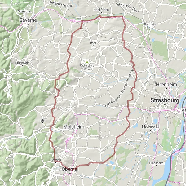
Embark on a scenic gravel cycling adventure from Obernai to Gloeckelsberg
Explore the beauty of Alsace on a captivating gravel cycling journey from Obernai to Gloeckelsberg. This 100km route offers a total ascent of 968m, taking you through charming villages and picturesque landscapes. Highlights along the way include the Rocher du Geissfels, a remarkable rock formation, the historic village of Westhoffen, and the scenic Goeftberg. Immerse yourself in the rich cultural heritage of the region as you pedal through the idyllic countryside. With its moderate difficulty and stunning sights, this gravel cycling route is perfect for adventure seekers looking to experience the natural beauty of Alsace.
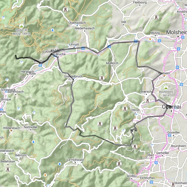
Discover the stunning Rocher du Geissfels on a road cycling adventure
Embark on a road cycling journey starting from Obernai and explore the beautiful landscapes of Alsace. This route will take you through picturesque villages, rolling hills, and charming vineyards. The highlight of the route is the Rocher du Geissfels, a magnificent rock formation that offers breathtaking views of the surrounding countryside. With a total ascent of 1140m and a distance of 68km, this route is of moderate difficulty suitable for well-trained amateurs. Immerse yourself in the rich cultural heritage of the region and enjoy the beauty of the Alsace countryside.

Explore the picturesque villages of Valff and Gertwiller on this beautiful gravel ride near Obernai
Embark on a scenic gravel adventure starting from Obernai, cycling through the charming villages of Valff and Gertwiller. Enjoy the peaceful countryside and admire the traditional half-timbered houses along the way. The route features a moderate ascent of 173 meters and covers a distance of 42 kilometers. It is suitable for gravel bikes.
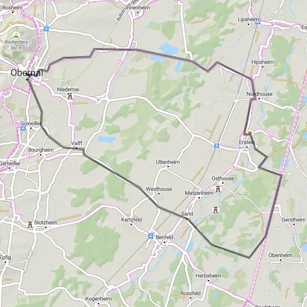
Enjoy a scenic road cycling adventure from Krautergersheim to Goxwiller
Experience the beauty of the Alsace countryside on a road cycling route from Krautergersheim to Goxwiller. With a total ascent of 96m and a distance of 49km, this route is perfect for leisurely rides through picturesque landscapes. Highlights of the route include the charming village of Hindisheim, the historic town of Erstein, and the tranquil village of Sand. Take in the sights and sounds of the Alsatian countryside as you pedal along quiet country roads. Suitable for cyclists of all levels, this route offers a relaxing and enjoyable road cycling experience in Alsace.
Conquer the challenging Bernardswiller to Cascade du Nideck road cycling route
Embark on a challenging and rewarding road cycling adventure from Bernardswiller to the breathtaking Cascade du Nideck. This epic route covers a distance of 172km and features a total ascent of 3262m. Along the way, you will pass through picturesque villages, conquer legendary climbs, and enjoy stunning panoramic views of the Vosges mountains. Highlights of the route include the charming village of Bernardswiller, the majestic Silberberg, and the scenic Col de Prayé. Experience the thrill of cycling on one of Alsace's most challenging routes and be rewarded with unforgettable views and a sense of accomplishment.
Cycling routes nearby:


Nearby regions: