Cycling paradise in the heart of Alsace.
Cycling routes from Cernay
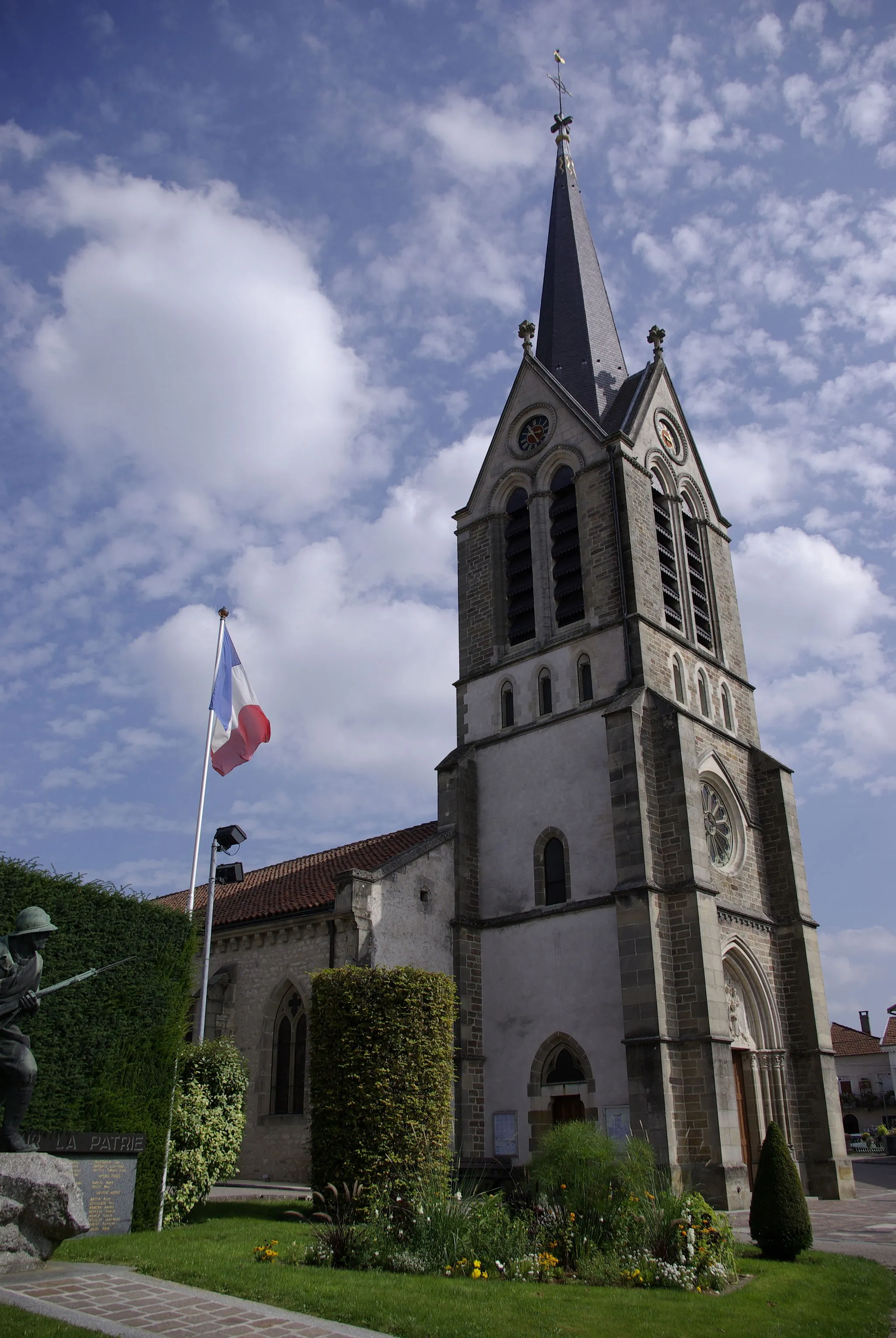
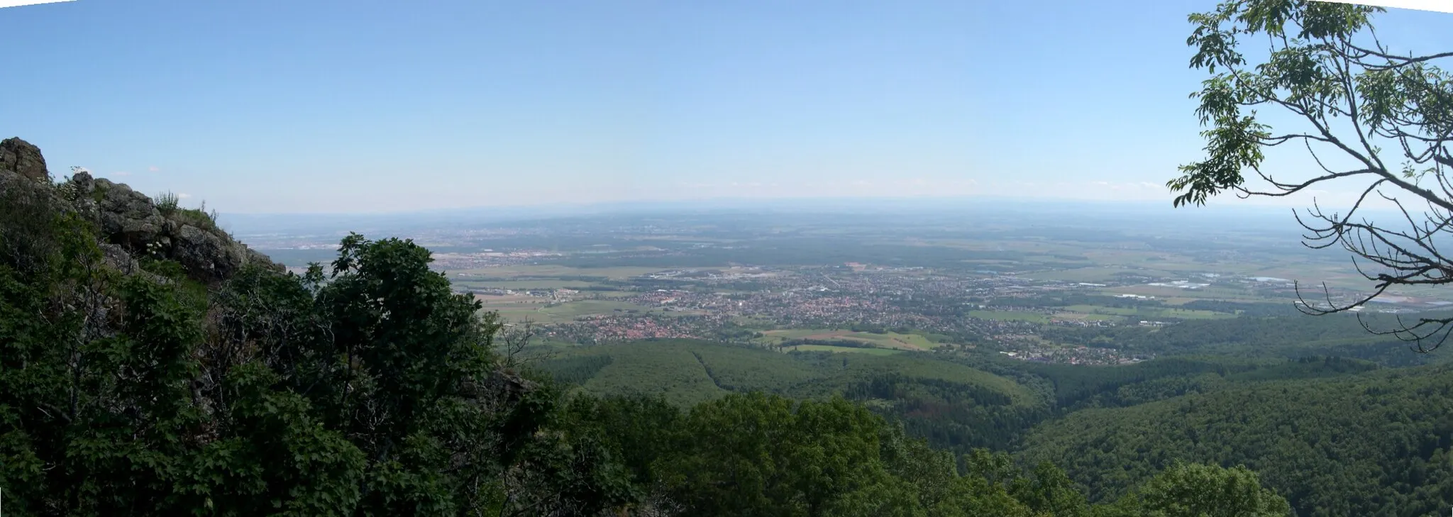
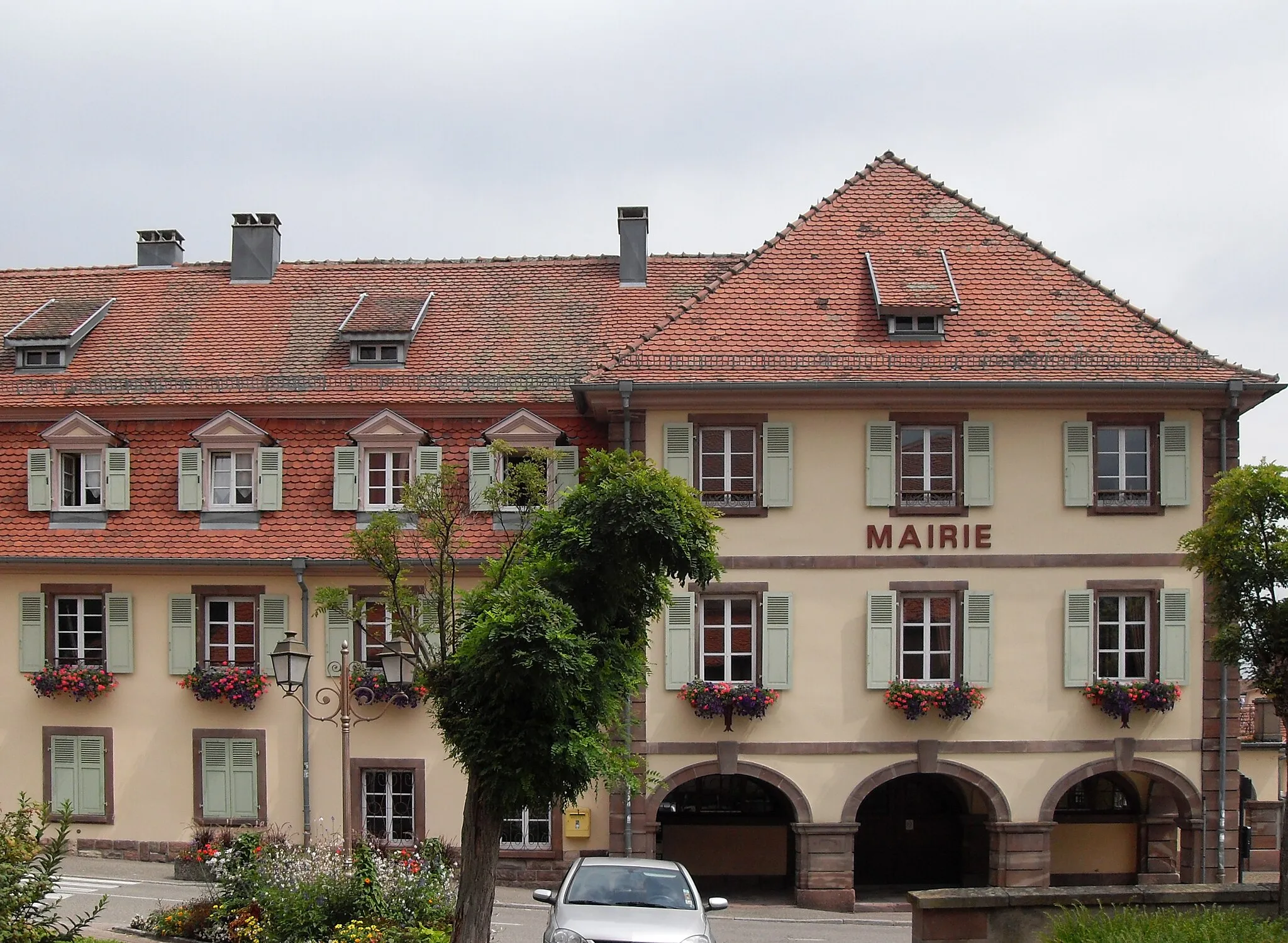
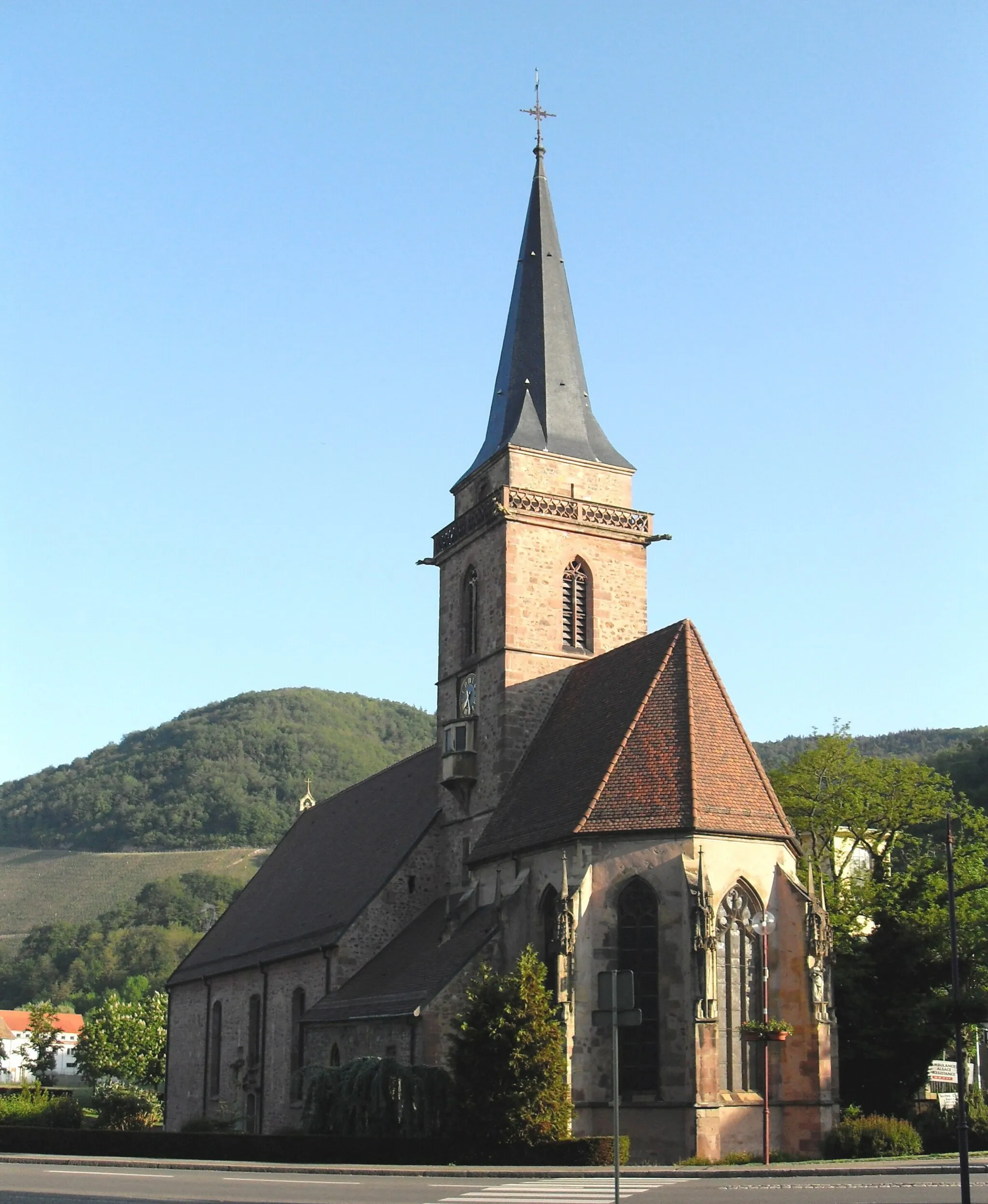
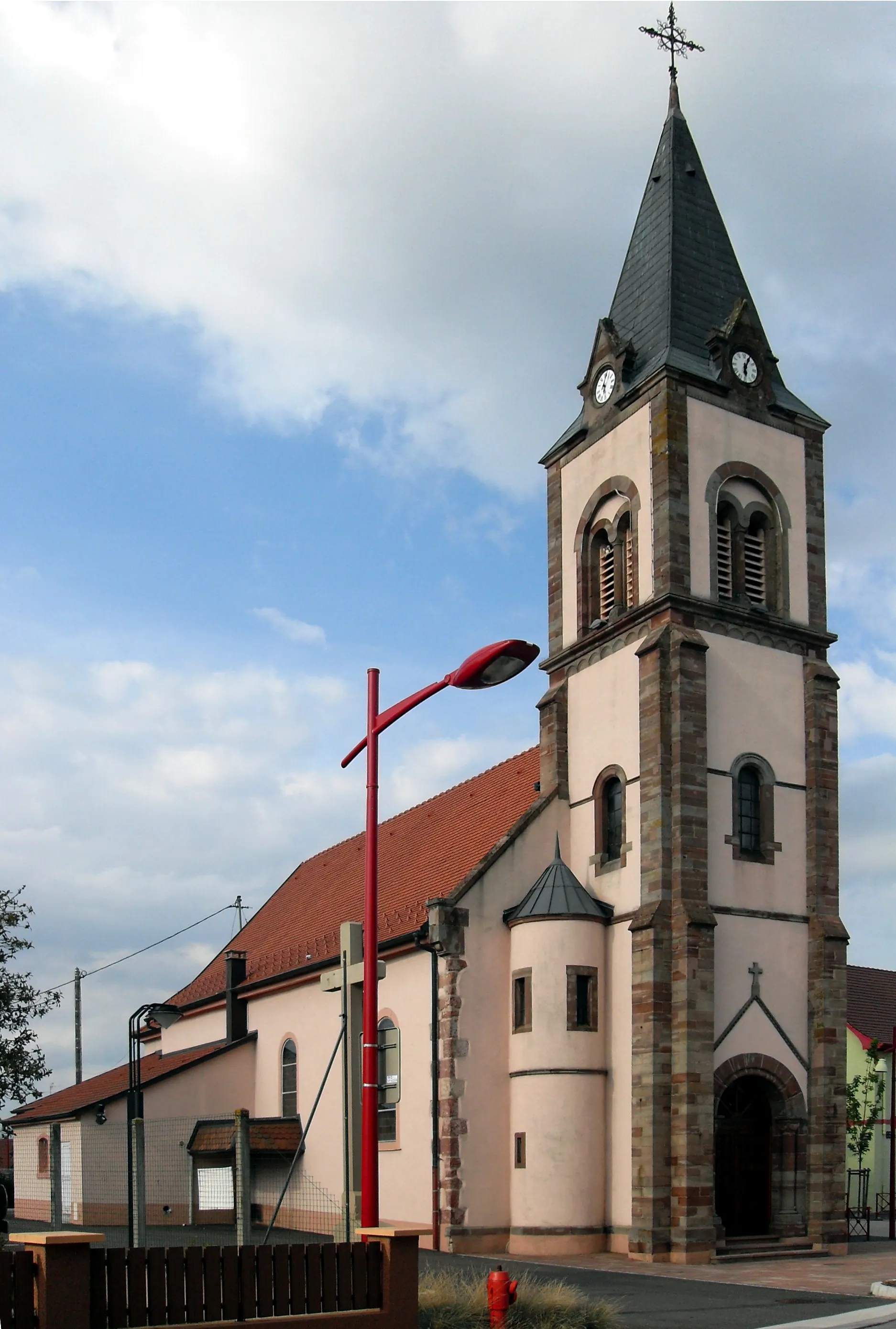
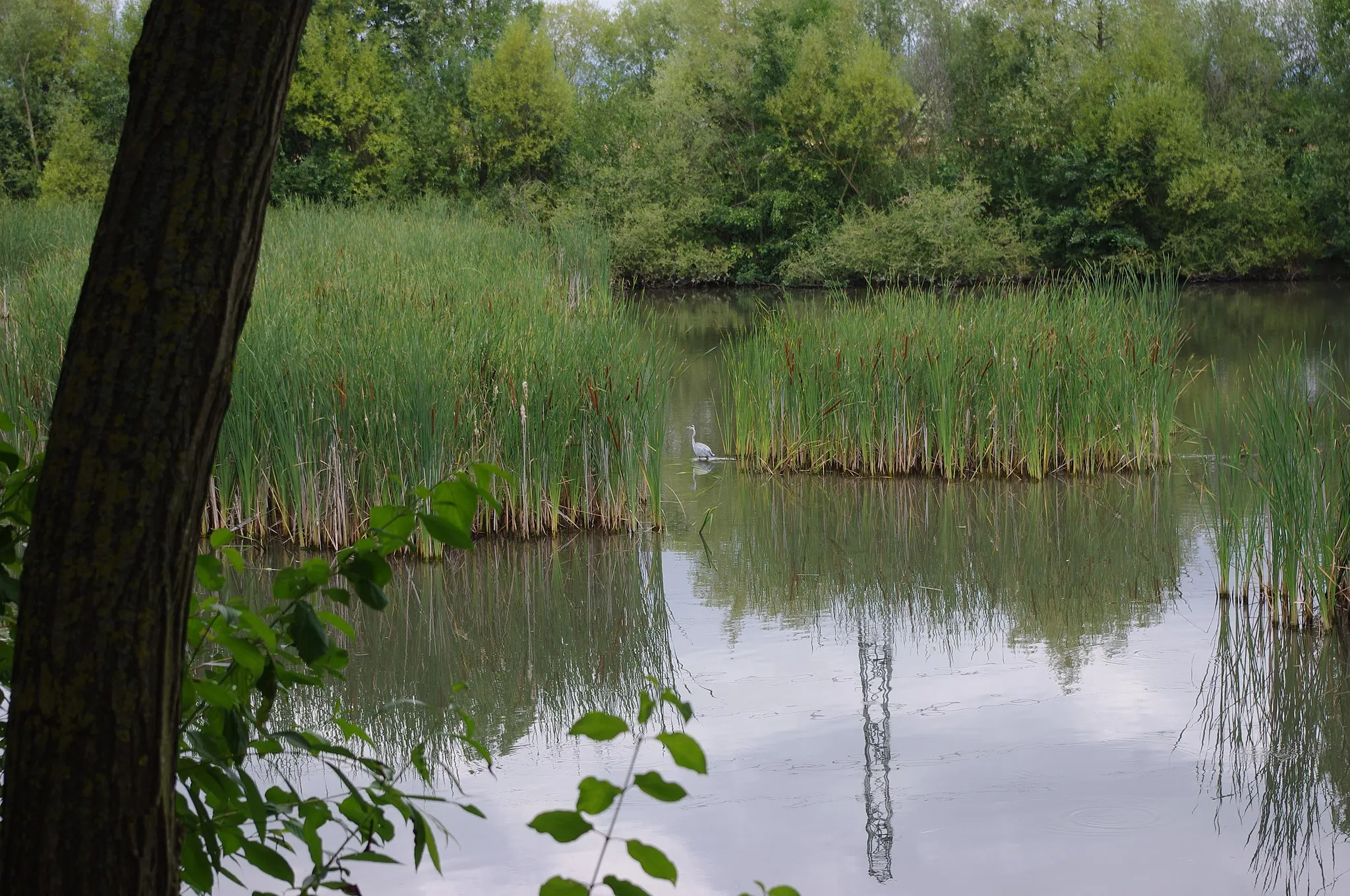
Cernay is a lovely town situated in the Alsace region of France. As a road and gravel cyclist, you will enjoy riding through Cernay's picturesque streets and discovering its stunning scenery. The town is surrounded by rolling hills and vineyards, offering cyclists a mix of flat and hilly routes to explore. Nearby, you will find the famous climb of Grand Ballon, known for its panoramic views of the Vosges mountains. With its cycling-friendly atmosphere and proximity to renowned climbs, Cernay is a fantastic destination for cyclists seeking memorable rides.
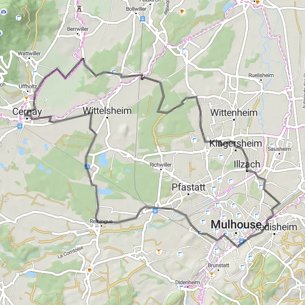
A gravel route showcasing the highlights of Pfastatt and Flaxlanden
Embark on this gravel ride that takes you through the scenic landscapes of Pfastatt and Flaxlanden. With a moderate ascent of 401 meters over a distance of 51 kilometers, this route is perfect for experienced amateur riders. Discover the beauty of Alsace as you pedal through picturesque countryside and charming villages.
Embark on a gravel adventure from Cernay to Soultz-Haut-Rhin
This gravel cycling route takes you from Cernay to Soultz-Haut-Rhin and back. The distance covered is 76 km with an ascent of 245 meters. Experience the thrill of off-road cycling while discovering the scenic beauty of the region.
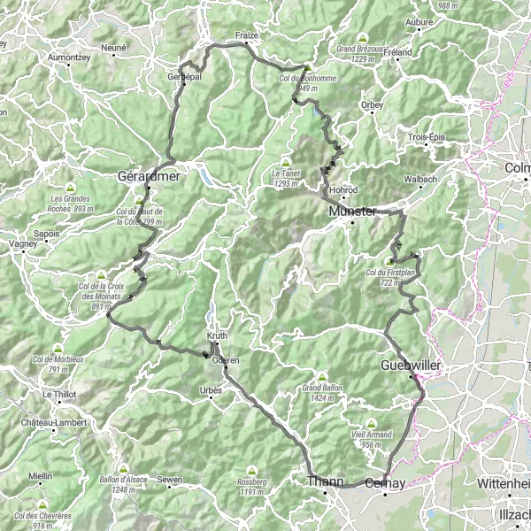
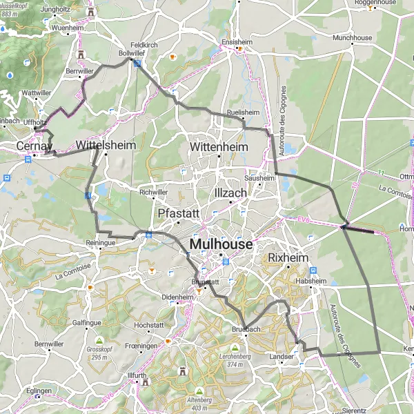
Conquer the challenging roads of Alsace
Prepare for the ultimate road cycling challenge in Alsace with this epic 165-kilometer route. Featuring a demanding ascent of 3297 meters, this ride is reserved for experienced cyclists seeking an unforgettable adventure. Experience the thrill of conquering legendary climbs and be rewarded with breathtaking views at every turn. From the picturesque village of Bitschwiller-lès-Thann to the majestic Gérardmer Lake, this route showcases the best of what Alsace has to offer.
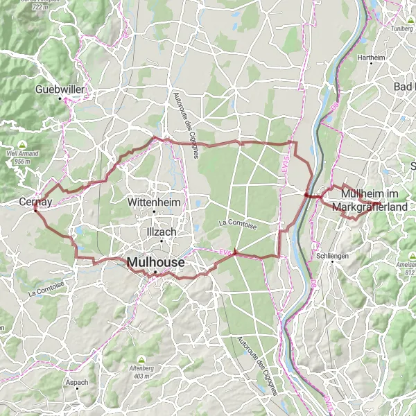
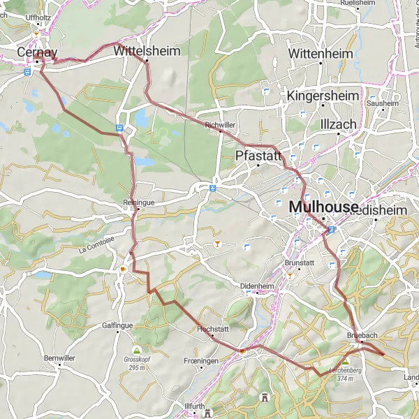
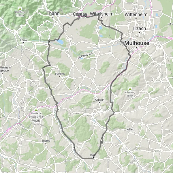
Embark on a gravel adventure from Staffelfelden to Ottmarsheim
This gravel cycling route takes you from Staffelfelden to Ottmarsheim and back. Covering a distance of 101 km with an ascent of 390 meters, it's a challenging yet rewarding ride for gravel enthusiasts. Experience the thrill of off-road cycling while exploring the beautiful landscapes of Alsace.
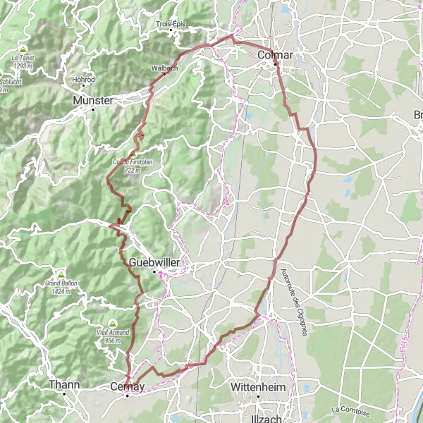
Ride through picturesque villages and climb to the stunning Rehbrunnenkopf
Embark on a challenging yet rewarding gravel ride that takes you through beautiful villages and offers breathtaking views. Starting in Wattwiller, the route leads you to the stunning Rehbrunnenkopf, a highlight with its panoramic vistas. From there, you'll conquer the Col du Firstplan, known for its steep and winding ascent. Continuing on, you'll pass through the charming town of Soultzbach-les-Bains and eventually reach the historic city of Colmar. As you cycle along the Quai de la Poissonerie, be sure to take in the scenic canal views. On the final stretch, you'll pass through quaint villages like Biltzheim and Réguisheim before arriving back in Cernay.
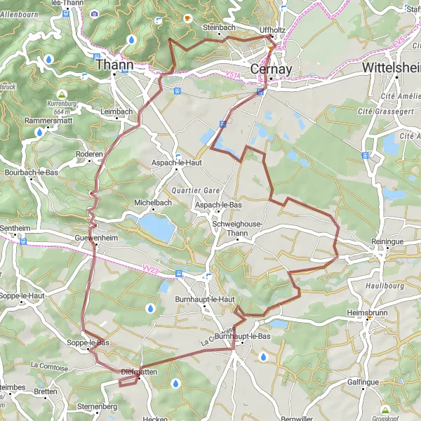
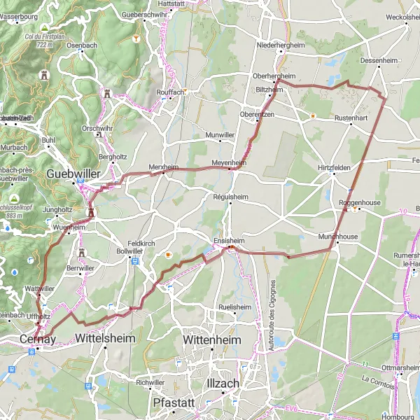
A gravel ride featuring the highlights of Cernay and Diefmatten
This gravel route takes you on a scenic journey starting from Cernay and passing through the charming village of Diefmatten. With a moderate ascent of 445 meters over a distance of 49 kilometers, it offers a satisfying challenge for amateur riders. Experience the beauty of the Alsace region as you ride along peaceful trails and enjoy the picturesque landscapes.
Discover Bollwiller and Beyond
Explore the charming village of Bollwiller and surrounding countryside
This road cycling route takes you from Cernay to Bollwiller and back. The distance covered is 84 km with an ascent of 280 meters. Discover the beauty of the Alsace countryside and enjoy the tranquility of the rural villages along the way.
Enjoy a scenic ride from Cernay to Staffelfelden
This road cycling route takes you from Cernay to Staffelfelden and back. Covering a distance of 51 km with an ascent of 97 meters, it is a shorter yet enjoyable ride. Experience the beauty of the Alsace countryside and take in the peaceful atmosphere of the villages along the way.
Cernay to Wittelsheim Loop
Cycle through scenic roads from Cernay to Wittelsheim
This is a road cycling route that takes you from Cernay to Wittelsheim and back. It covers a distance of 91 km with 566 meters of ascent. The route offers beautiful countryside views and is suitable for experienced riders.
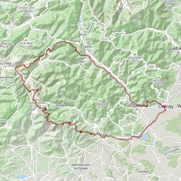
A challenging gravel ride to Lauw and Ballon d'Alsace
Get ready for an epic gravel adventure that will take you to some of the most breathtaking spots in Alsace. With a challenging ascent of 2419 meters over a distance of 99 kilometers, this route is designed for experienced riders seeking a thrilling challenge. Explore idyllic villages, conquer legendary climbs, and revel in the stunning natural beauty of the region.
Cycling routes nearby:
Nearby regions: