Explore the famous Wine Road in Wattwiller on your bike.
Cycling routes from Wattwiller
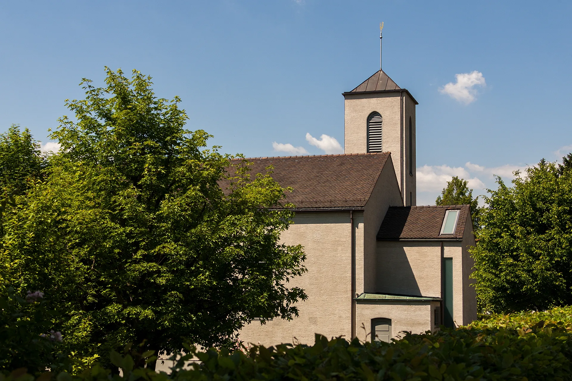
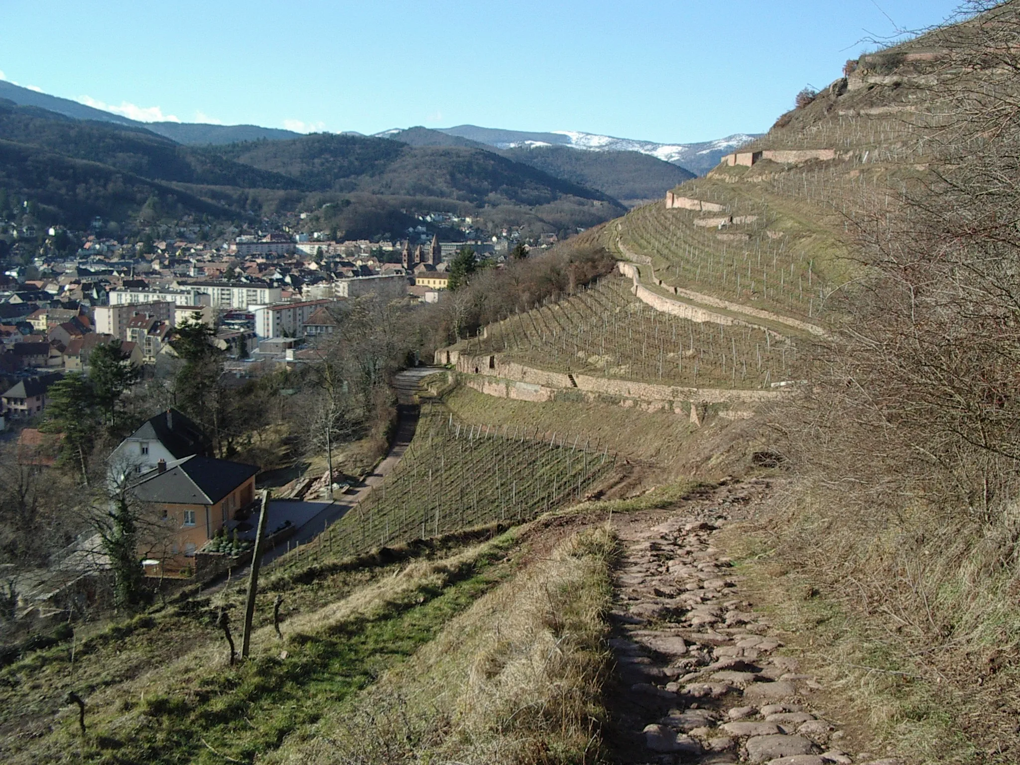
Wattwiller, located in the Alsace region of France, is a fantastic locality for cyclists. The area offers a combination of flat stretches and rolling hills, providing a variety of cycling routes for all skill levels. As you ride through Wattwiller, you'll be surrounded by lush vineyards, charming villages, and scenic countryside. The locality is also home to the famous Wine Road, a popular cycling route that takes you through some of the best vineyards in the region. Whether you're a road cyclist or prefer gravel trails, Wattwiller is a great destination to explore on two wheels.
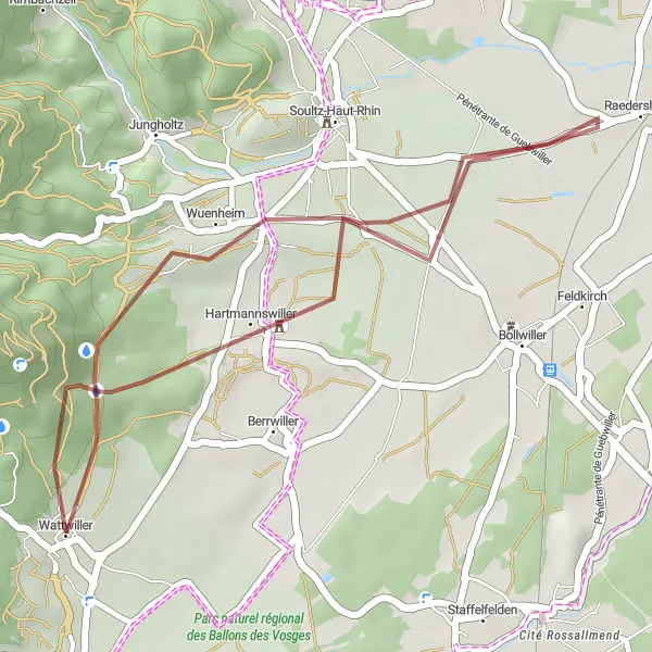
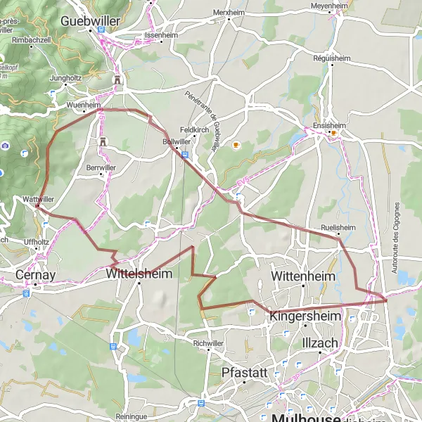
Wattwiller Loop
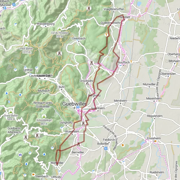
A challenging gravel route offering stunning views
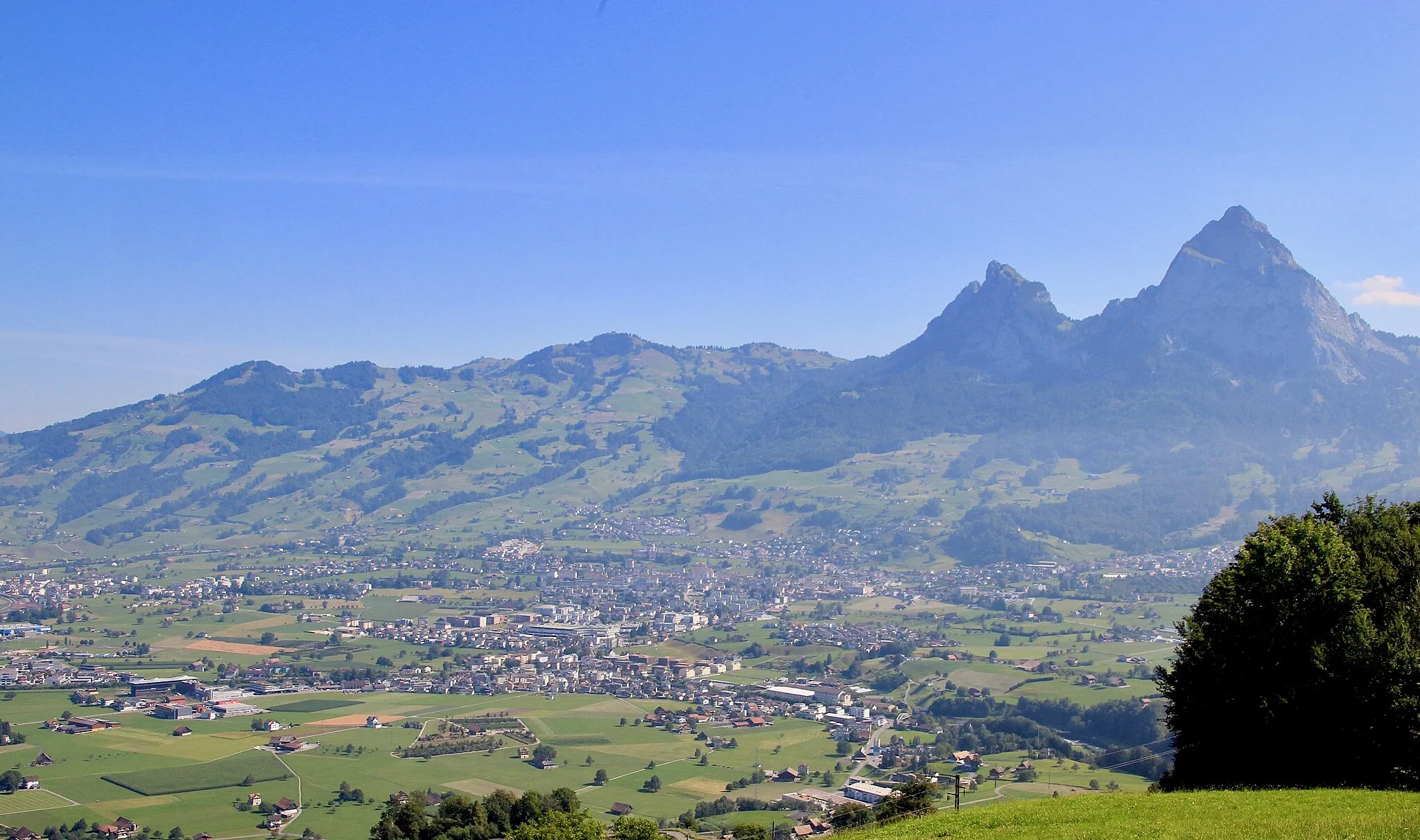
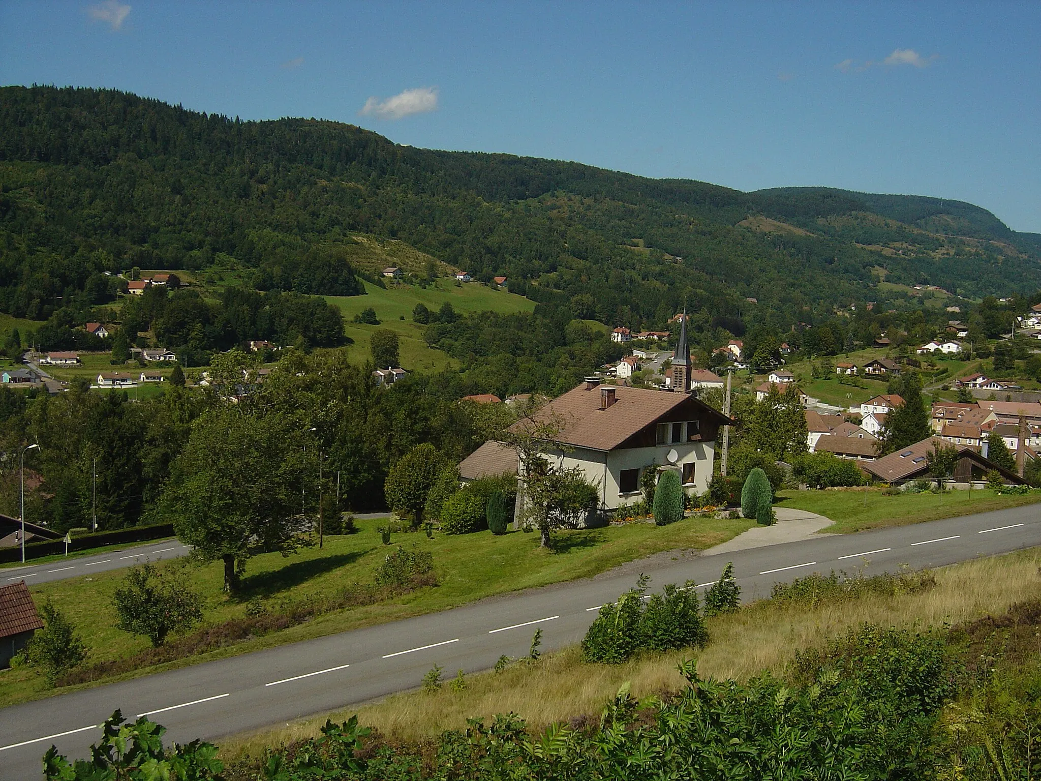
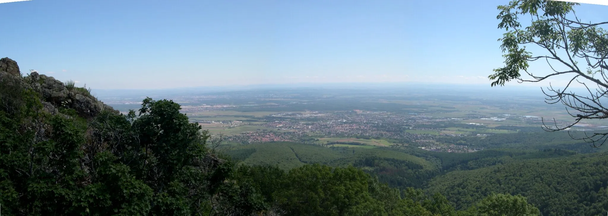
The Wattwiller Loop is a 56 km long gravel route that starts and ends in Wattwiller, Alsace. The route takes cyclists through picturesque villages and offers breathtaking views of the surrounding countryside. With a total ascent of 981 m, this route is recommended for well-trained riders looking for a challenge. Along the way, cyclists will encounter several highlights, including Wuenheim, which is known for its beautiful vineyards, and the Nez de Soultz, a prominent hill with panoramic views. Another highlight is the Table d'orientation, where cyclists can take a break and enjoy the scenic vistas. Overall, the Wattwiller Loop is a fantastic option for gravel enthusiasts seeking a memorable cycling experience in the heart of Alsace.
Soultz-Haut-Rhin to Uffholtz
Cycle through the beautiful landscapes of Alsace on this road cycling route from Soultz-Haut-Rhin to Uffholtz
This road cycling route takes you on a journey through the stunning landscapes of Alsace. Starting in Soultz-Haut-Rhin, the route passes through Biltzheim, Hirtzfelden, Illzach, and ends in Uffholtz. With a total distance of 79 km and an ascent of 221 m, this route offers a moderate challenge for well-trained amateur riders. The highlights include the charming town of Soultz-Haut-Rhin, the picturesque village of Biltzheim, and the peaceful countryside of Hirtzfelden. Immerse yourself in the natural beauty of Alsace as you cycle through vineyards, rolling hills, and scenic countryside. Experience the allure of road cycling in the idyllic surroundings of Alsace.
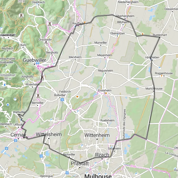
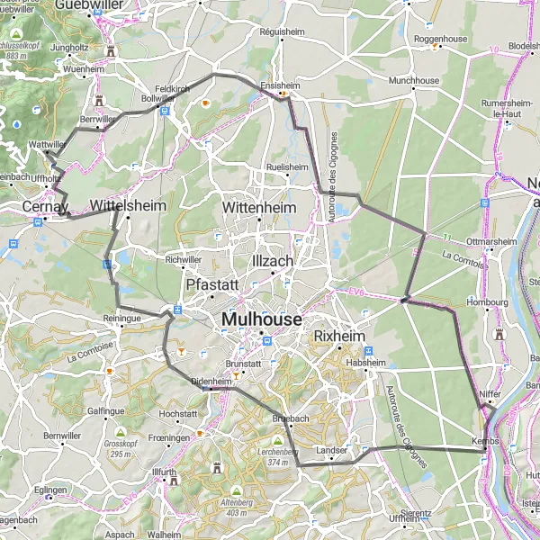
Lose yourself in the beauty of the Rouffach region
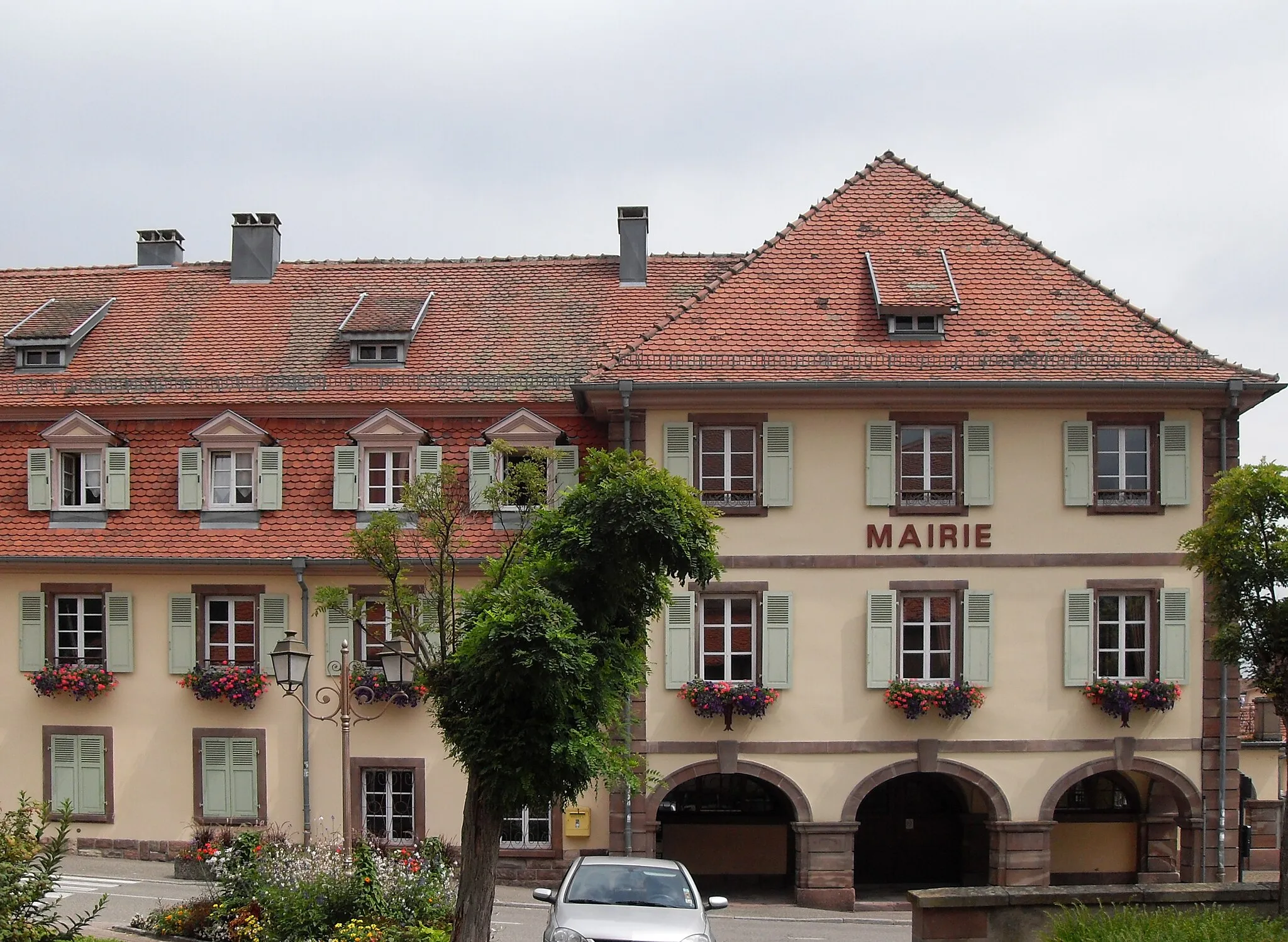
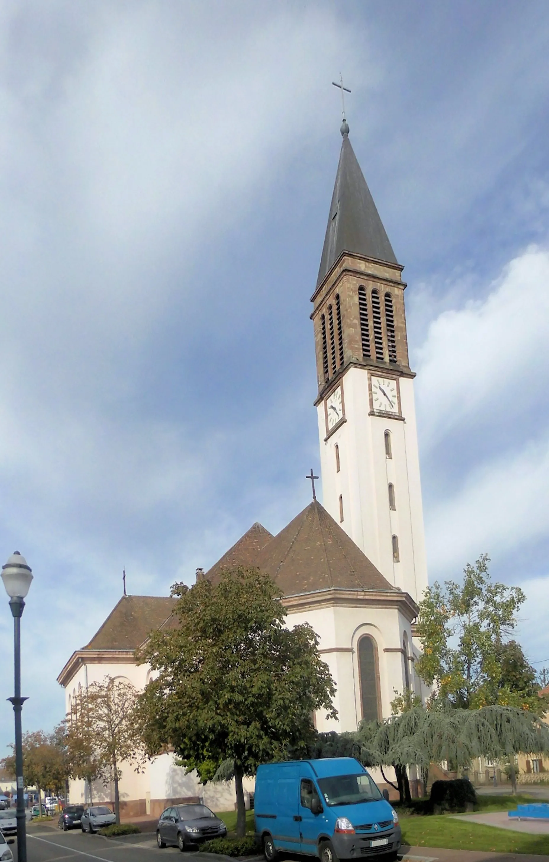
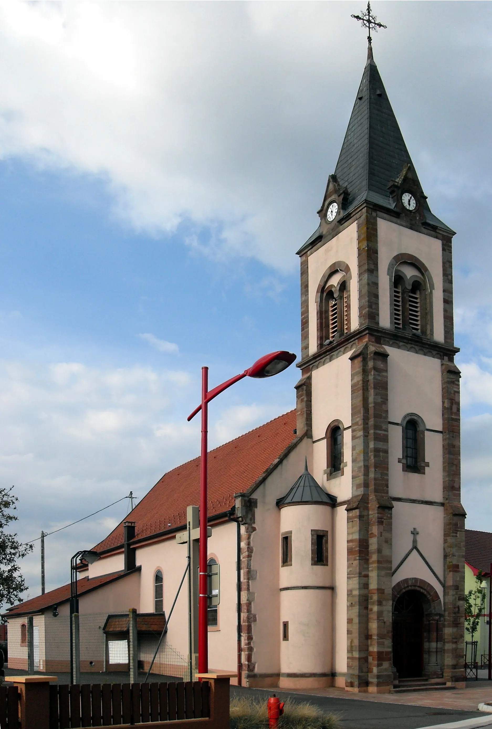
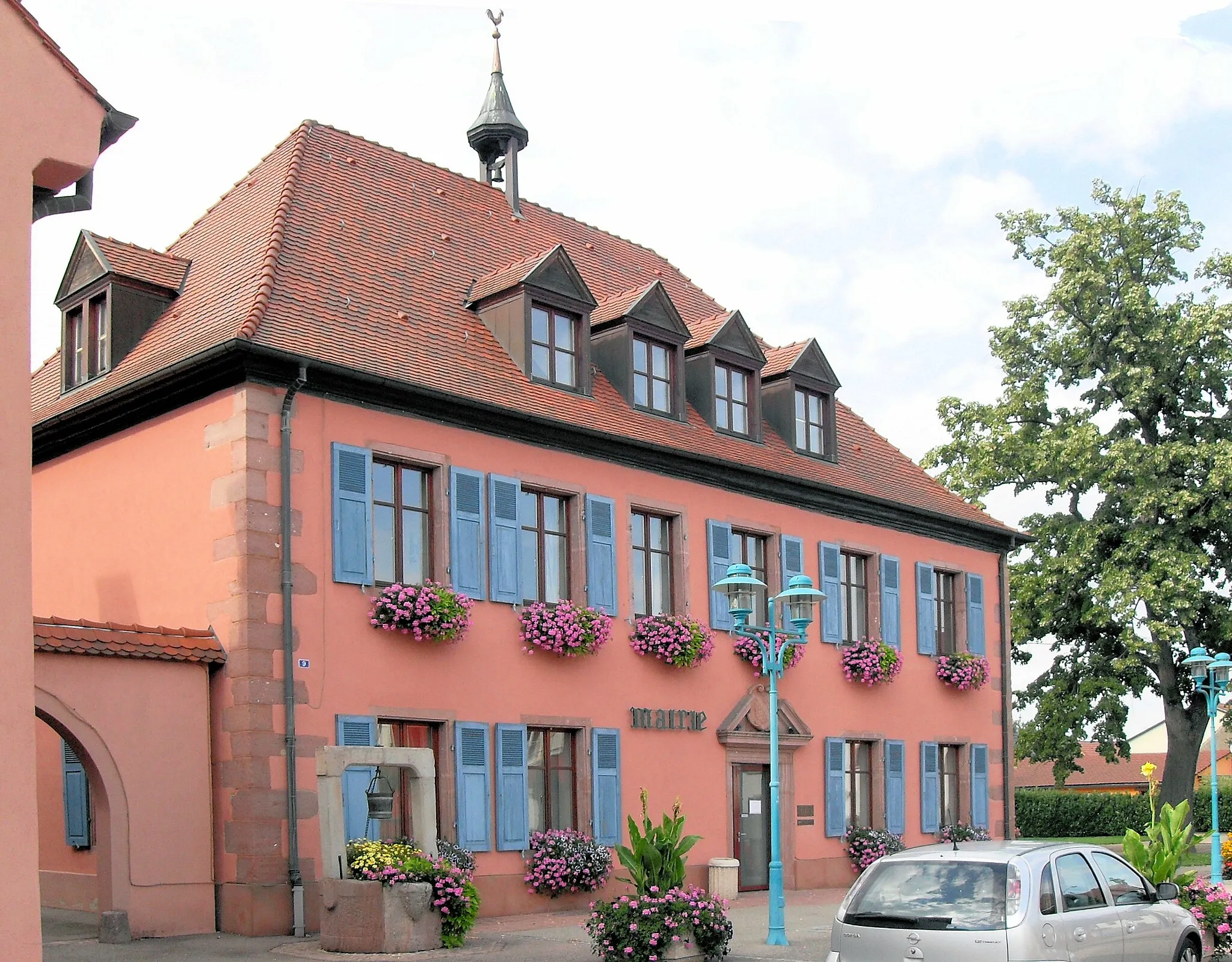
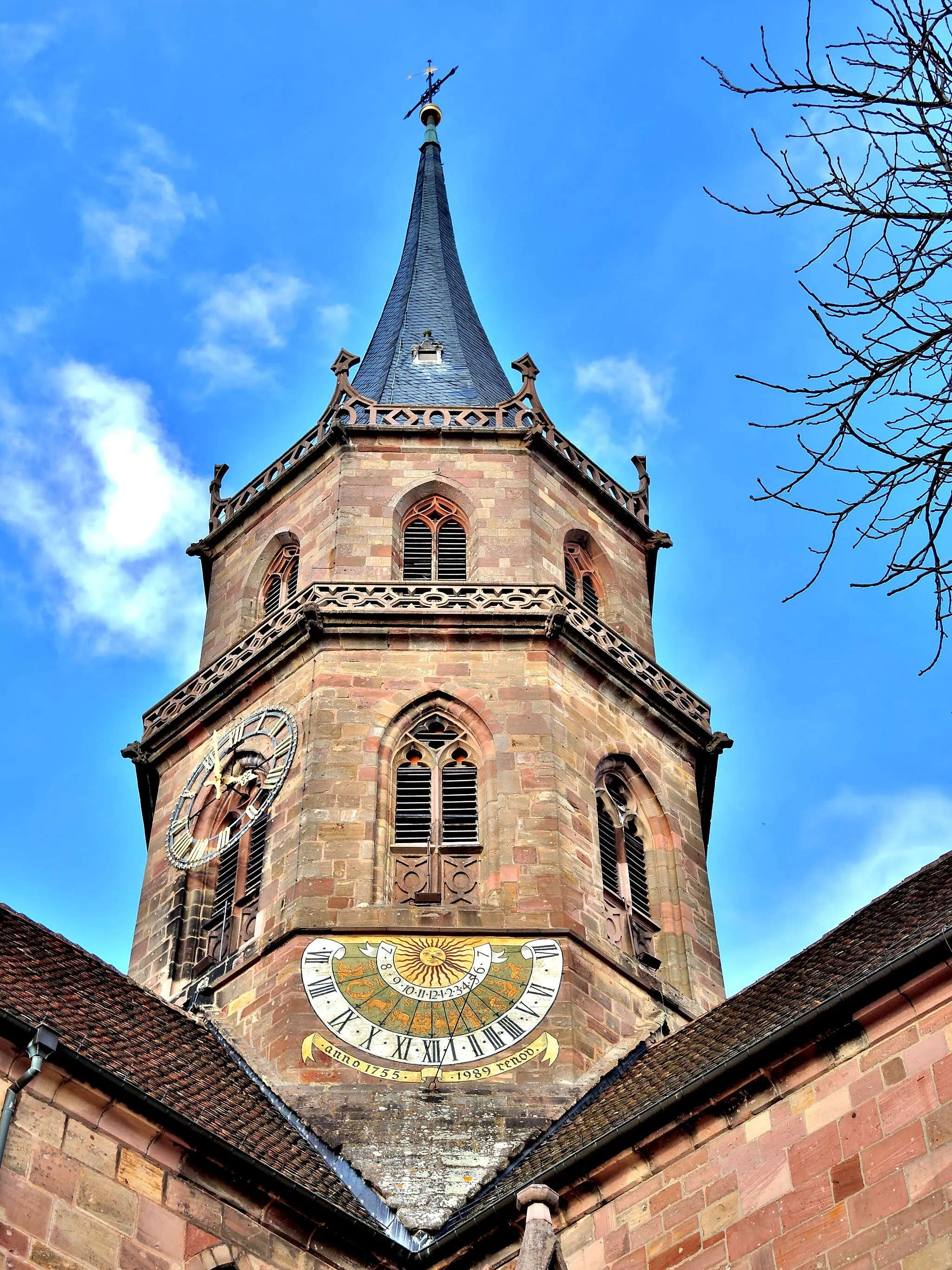
The Roads of Rouffach is a 70 km long road cycling route that starts near Wattwiller. This route offers a picturesque journey through the charming villages and stunning landscapes of the Rouffach region. With a total ascent of 248 m, it is suitable for both beginner and intermediate riders. Along the way, cyclists will encounter several highlights, including Soultz-Haut-Rhin, a traditional Alsatian village known for its vineyards and historical buildings. Rouffach, another highlight, is a delightful town with a rich history and impressive medieval architecture. Biltzheim, a village with beautiful half-timbered houses, is also worth exploring. Cyclists can enjoy the scenic views of Hirtzfelden, a peaceful village surrounded by vineyards. Ensisheim, known for its astronomical clock and Renaissance buildings, is an interesting historical spot. Lastly, Staffelfelden and its preserved Heritage Station is a great stop where travelers can learn about the region's railway history.
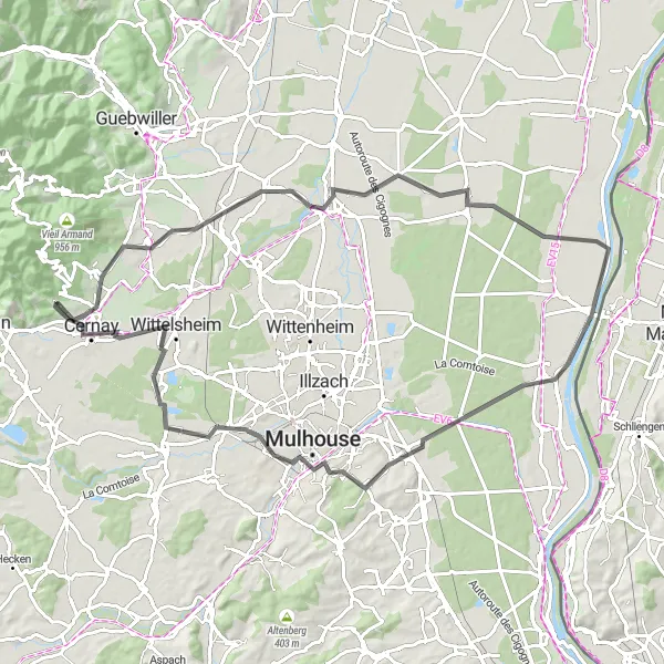
Ensisheim to Wittelsheim
A scenic road cycling route with highlights from Ensisheim to Wittelsheim
This road cycling route takes you through the picturesque towns and villages of Alsace, with stunning countryside views along the way. Starting in Ensisheim, the route passes through Bantzenheim, Bertholdturm, Schliengen, Löhle, and Huningue before ending in Wittelsheim. With a total distance of 130 km and an ascent of 944 m, this route offers a moderate challenge for well-trained amateur riders. The highlights include the historic town of Ensisheim, the scenic views from Bertholdturm, and the charming village of Wittelsheim. Take in the beauty of the Alsace region as you cycle through vineyards, rolling hills, and picturesque landscapes. Enjoy the rich history and cycling-friendly atmosphere of this unique cycling route.
A short and scenic gravel cycling route from Wuenheim to Raedersheim
This short gravel cycling route takes you through the beautiful countryside of Alsace. Starting in Wuenheim, the route passes through Raedersheim before ending at Rocher du Hirtzenstein. With a total distance of 23 km and an ascent of 332 m, this route offers a quick and enjoyable off-road ride. The highlights include the charming village of Wuenheim, the peaceful surroundings of Raedersheim, and the stunning views from Rocher du Hirtzenstein. Immerse yourself in the natural beauty of the Alsace region as you ride through vineyards, forests, and rolling hills. Experience the charm of rural Alsace on this scenic gravel cycling route.
Cycling among charming villages and historic towns
Embark on a cycling journey through the picturesque region of Alsace, known for its beautiful vineyards, charming villages, and rich history. This round-trip route starting near Wattwiller will take you through idyllic landscapes and captivating towns, offering a delightful mix of natural beauty and cultural wonders. Along the way, you will have the opportunity to admire the stunning architecture of Mulhouse, explore the charming cobbled streets of Wittelsheim, and marvel at the historic landmarks in Ensisheim. With its moderate difficulty level and captivating scenery, this cycling route is an ideal choice for well-trained amateur cyclists seeking adventure in Alsace.
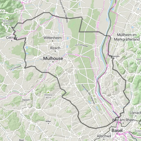
Mulhouse Discovery
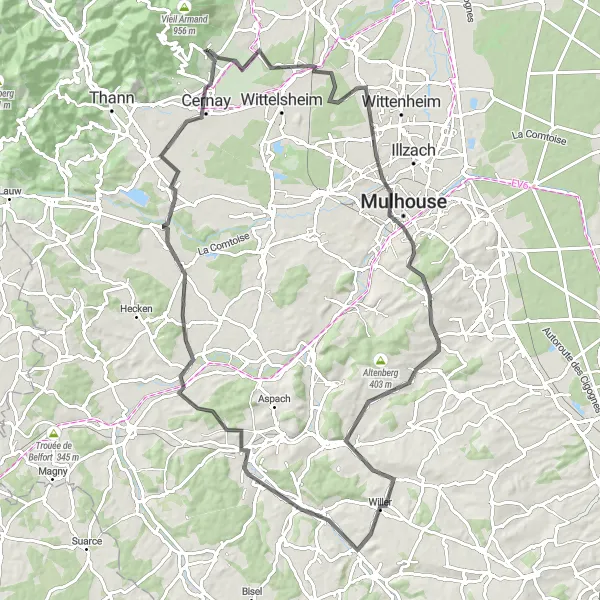
Immerse yourself in the cultural treasures of Mulhouse
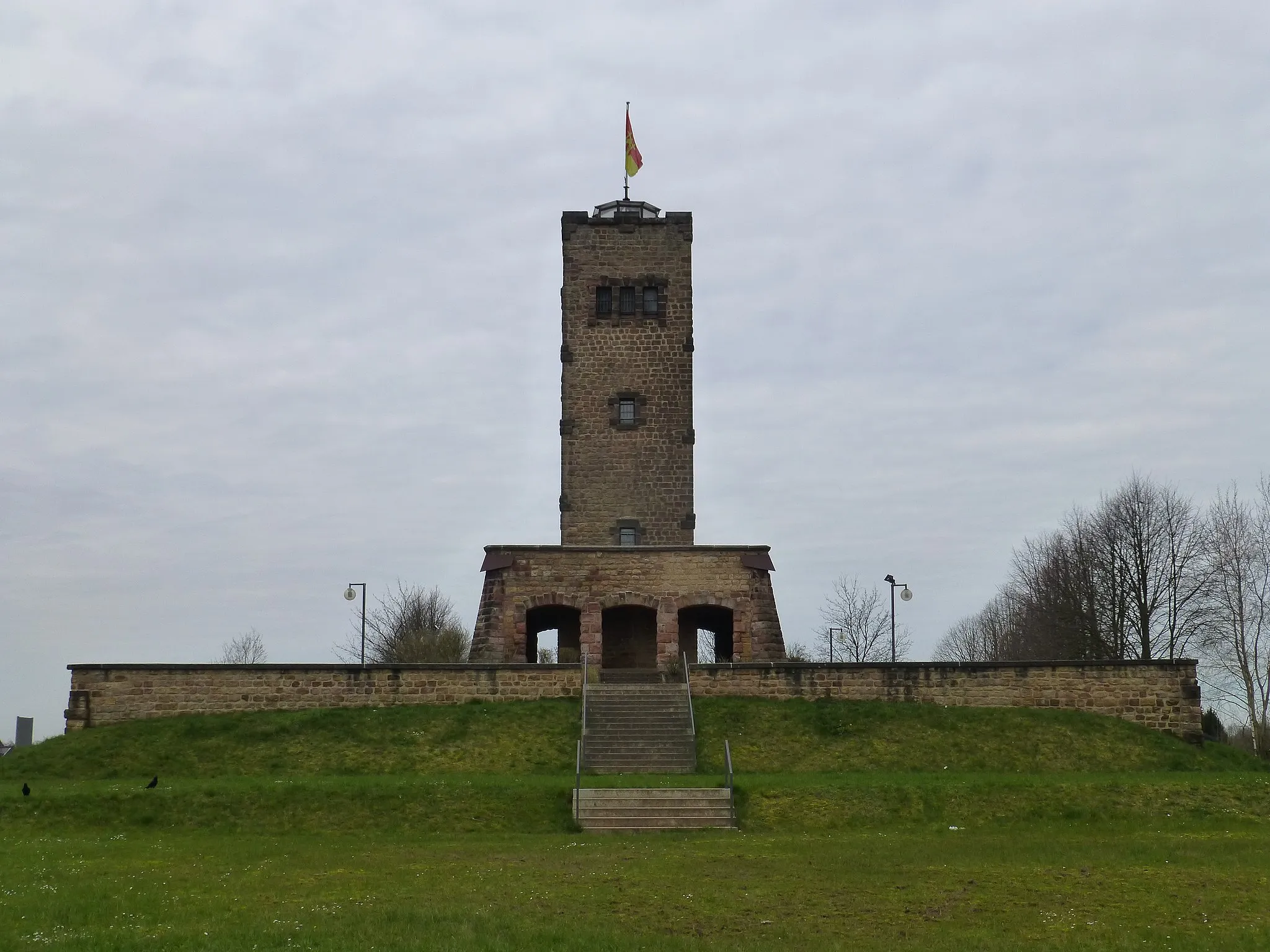
Mulhouse Discovery is a road cycling route that spans 92 km, starting near Wattwiller. This route takes cyclists on a journey to explore the cultural and historical gems of Mulhouse and its surrounding area. With a total ascent of 631 m, it is a suitable challenge for intermediate riders. Along the way, cyclists will encounter several highlights that showcase the region's rich history and enchanting landscapes. Staffelfelden, a charming village with a medieval church, is an excellent starting point to immerse oneself in the local culture. Mulhouse, a vibrant city famous for its impressive museums, including the coveted Automobile Museum and Cité du Train, offers a diverse range of attractions for cyclists to discover. The Belvédère viewpoint provides cyclists with panoramic vistas of the city and its picturesque surroundings. Hausgauen, a tranquil village with a well-preserved historic center, offers cyclists a peaceful spot to rest. The route also includes Hirsingue, known for its impressive Baroque church and beautiful town center. Burnhaupt-le-Haut is another noteworthy stop, featuring stunning views and a 14th-century castle. Finally, Uffholtz, known for its war memorial and monumental observatory, provides a powerful glimpse into the region's history.
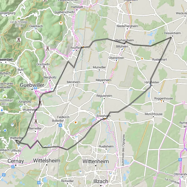
Indulge in the beauty of Bollwiller and its mesmerizing vineyards
This round-trip cycling route takes you through the scenic countryside near Wattwiller, with the highlight being the charming village of Bollwiller. Marvel at the picturesque vineyards that carpet the landscape, producing some of Alsace's finest wines. The route is moderate in difficulty, making it accessible to well-trained amateur cyclists. With an ascent of 423 meters and a distance of 89 kilometers, it offers a challenging yet exhilarating experience for riders. The epicness of the route is rated as 4, as it showcases the stunning beauty of the region and offers a glimpse into its rich winemaking history.
Embark on a thrilling gravel adventure, exploring the picturesque landscapes around Hartmannswiller
This gravel cycling route near Wattwiller offers an immersive experience in the scenic landscapes surrounding Hartmannswiller. With a moderate difficulty level, it is perfect for well-trained amateur cyclists seeking an exciting adventure. With an ascent of 212 meters and a distance of 47 kilometers, it provides a thrilling ride through diverse terrain. The route is rated as 4 in epicness, as it showcases the raw beauty of the region's nature and offers a chance to discover hidden gems.
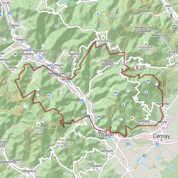
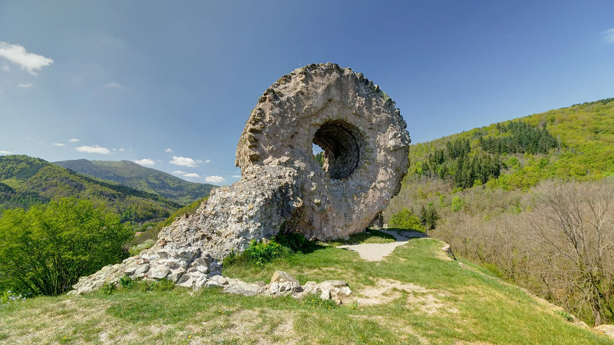
Discover the beauty of Alsace on this challenging gravel cycling route from Thann to Borne Vauthier Demarcation Stone
This challenging gravel cycling route takes you through the rugged landscapes of Alsace. Starting in Thann, the route passes through Staufen, Thanner Hubel, Mollau, Saint-Amarin, Grand Ballon, Riesenkopf, and ends at Borne Vauthier Demarcation Stone. With a total distance of 61 km and an ascent of 2164 m, this route offers a thrilling adventure for well-trained amateur off-road riders. The highlights include the historic town of Thann, the panoramic views from Grand Ballon, and the unique Borne Vauthier Demarcation Stone. Immerse yourself in the incredible natural beauty of Alsace as you conquer challenging climbs, ride through dense forests, and enjoy breathtaking views. Experience the essence of off-road cycling on this epic route.
Cycling routes nearby:
Nearby regions: