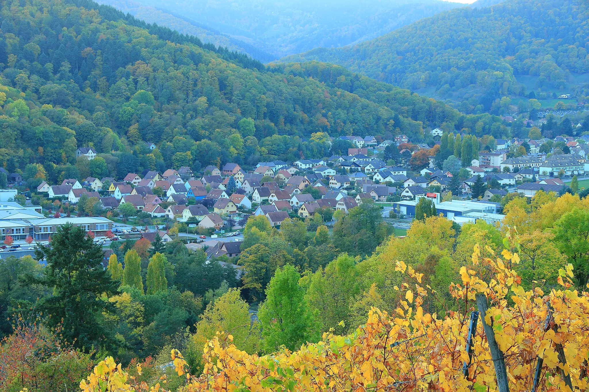
Adventurous cycling in Alsace
Cycling routes from Guebwiller
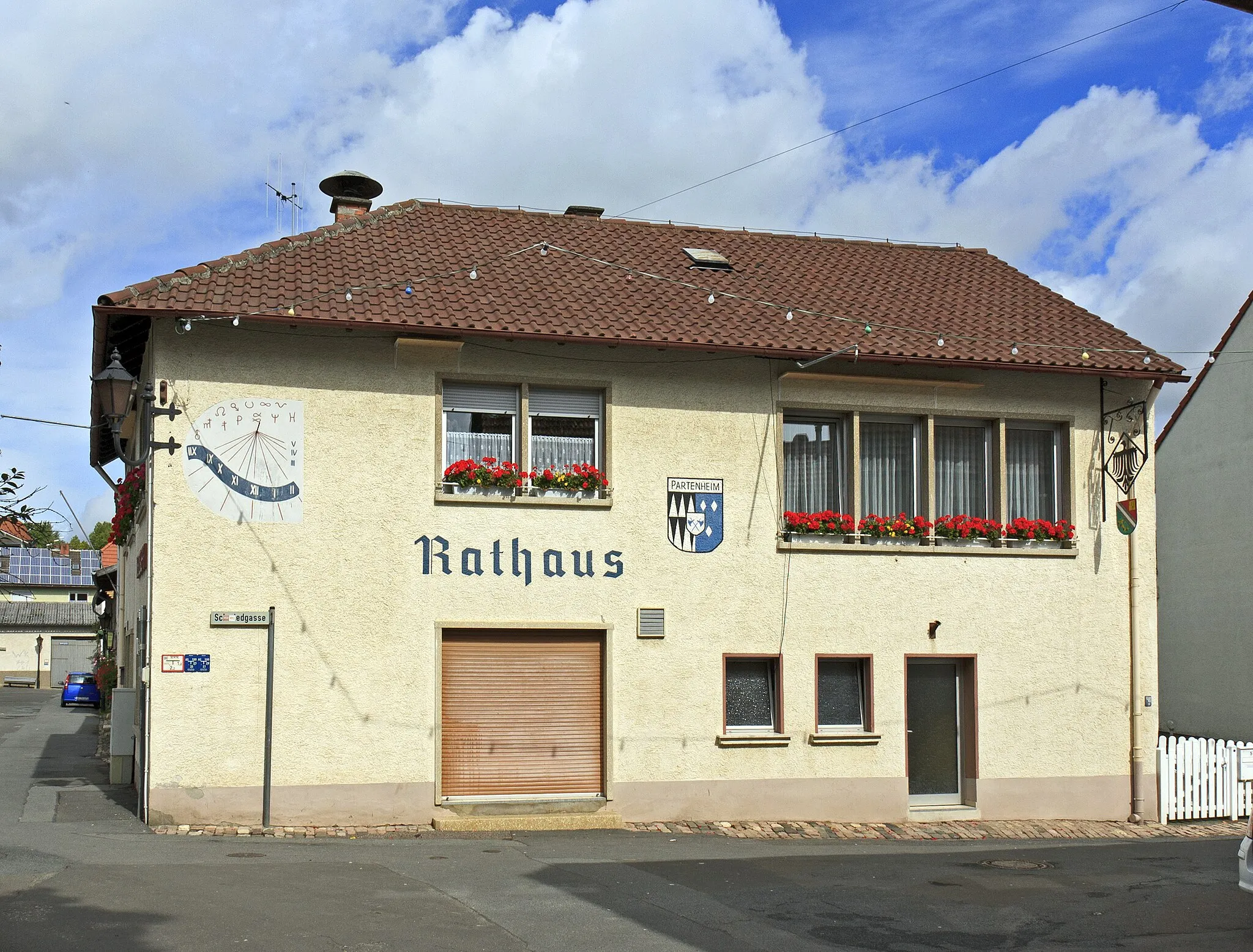
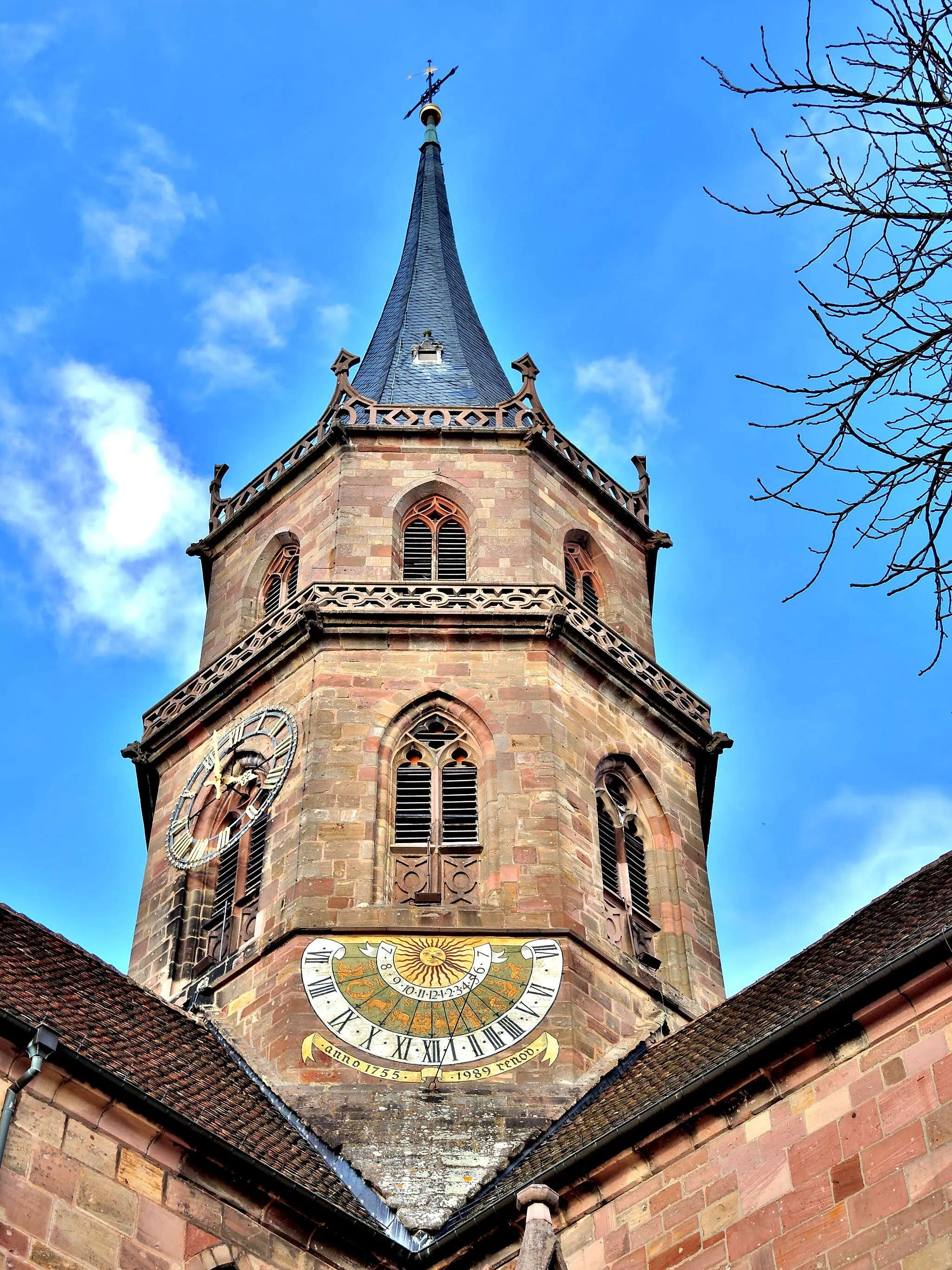
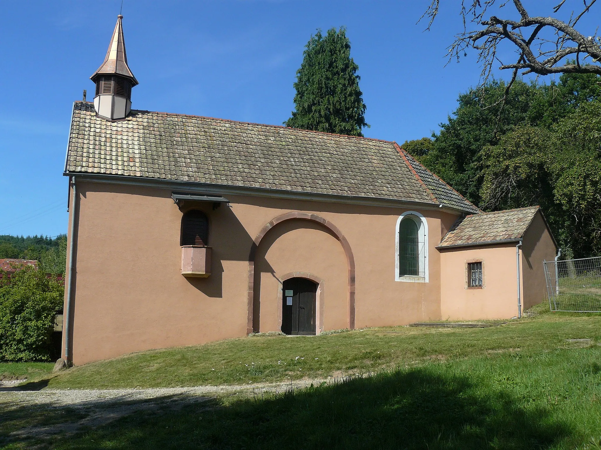
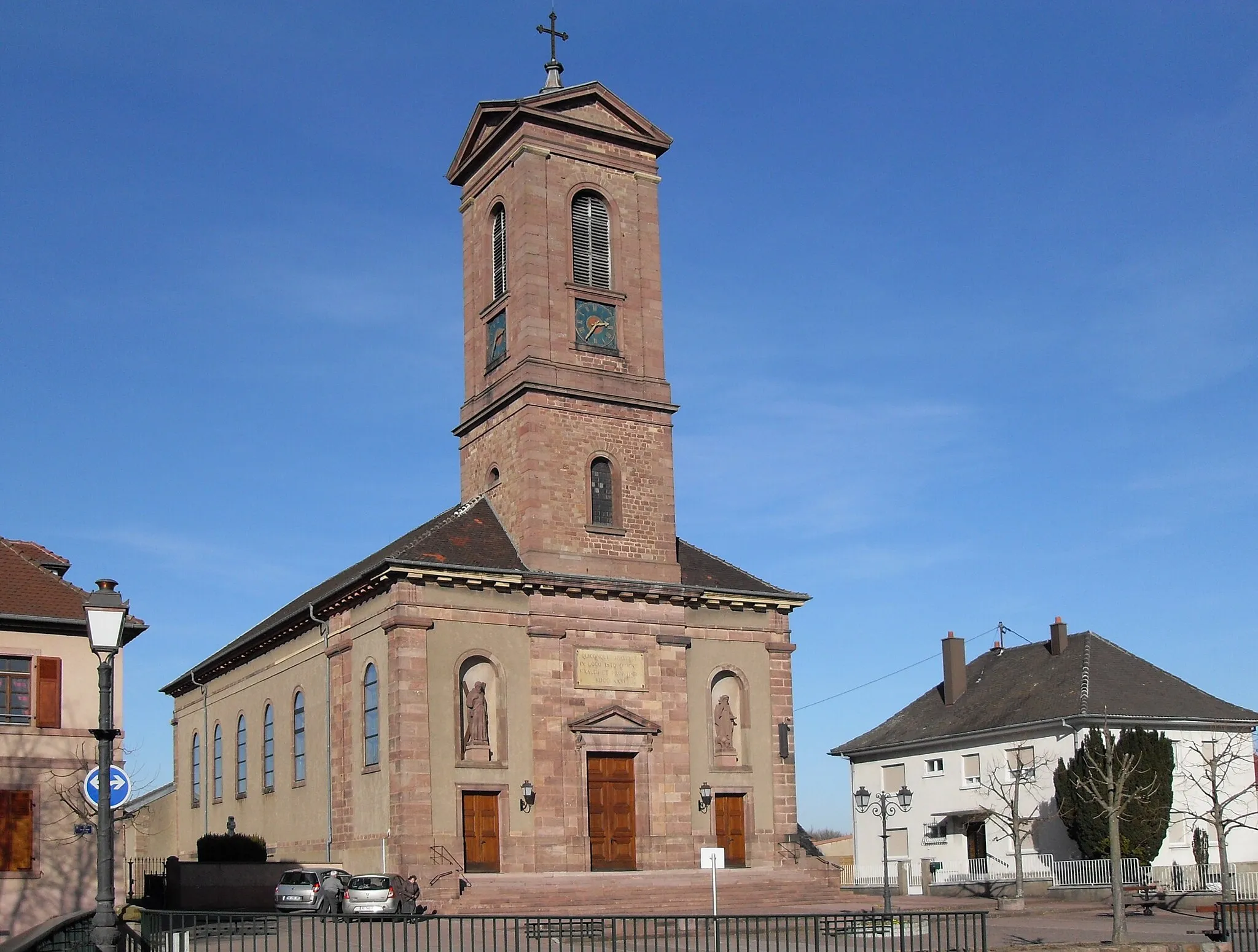
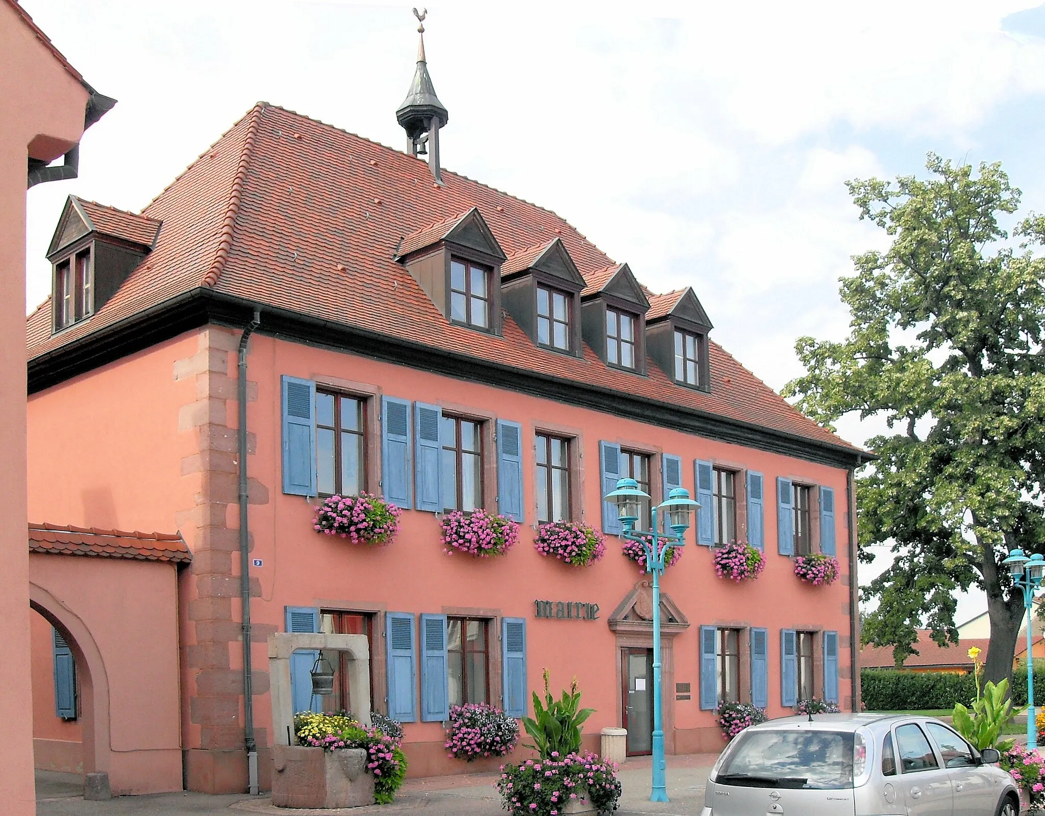
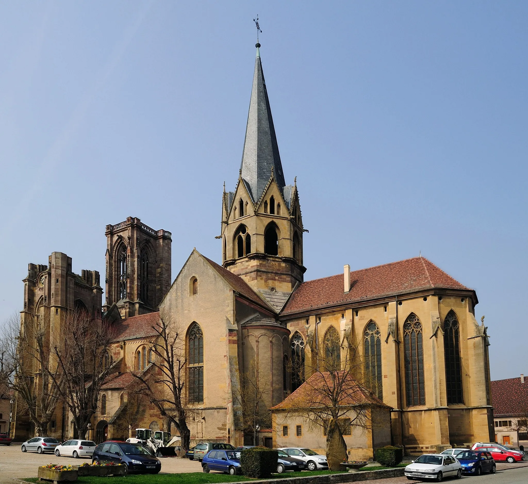
Guebwiller, located in the Alsace region of France, is a fantastic destination for road and gravel cycling. The area offers a variety of cycling routes, from flat scenic roads to more challenging climbs. One famous cycling spot nearby is the Route des Vins d'Alsace, which takes cyclists through picturesque vineyards and charming villages. Guebwiller itself is a vibrant town, with plenty of cafes and restaurants to refuel after a long ride. With its cycling-friendly infrastructure and beautiful surroundings, Guebwiller is a must-visit for cyclists exploring the Alsace region.
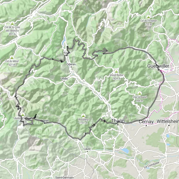
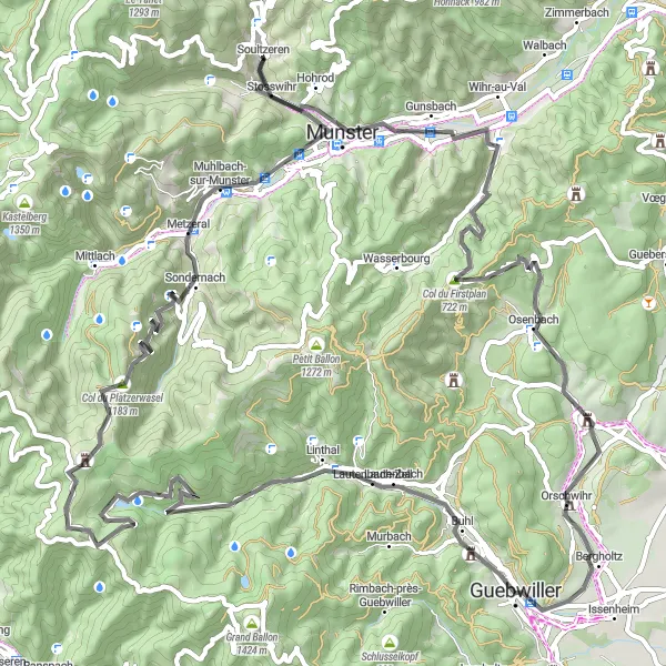
Conquer the challenging mountain passes of Alsace
Embark on a thrilling journey through the mountains of Alsace with this challenging road cycling route. With a total ascent of 2,930 meters and a distance of 125 kilometers, this route is only suitable for experienced and well-trained cyclists. Prepare yourself for steep climbs and breathtaking descents as you conquer some of the region's most famous mountain passes. The difficulty level is rated as 5 out of 5 due to the extreme elevations and demanding terrain. But the epicness factor is also cranked up, with multiple legendary climbs and iconic spots along the way. You'll have the chance to witness stunning panoramic views, conquer iconic peaks such as Ballon d'Alsace, and experience the thrill of cycling in the heart of nature.
The Alsatian Mountaineer
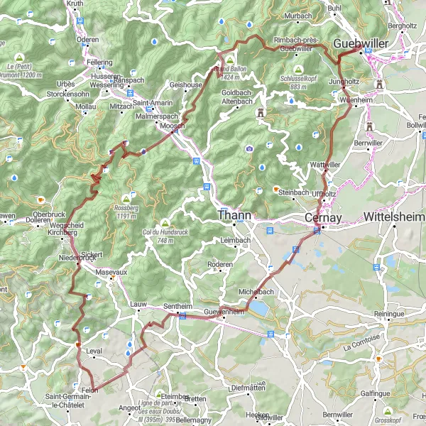
Challenge yourself on this demanding gravel route with scenic mountain landscapes and legendary climbing spots.
Prepare yourself for a challenging journey through the mountainous landscapes of the Vosges Mountains on this epic gravel route. With a total ascent of 2442 meters and a distance of 88 kilometers, this route is only suitable for experienced and well-trained cyclists. Along the way, you'll pass through the town of Guebwiller, famous for its wines and historical architecture. Highlights of the route include the breathtaking Fuchsfelsen lookout point, the charming village of Uffholtz, and the majestic Heidenkopf summit. This route offers a unique opportunity to truly immerse yourself in the beauty of the Vosges Mountains.
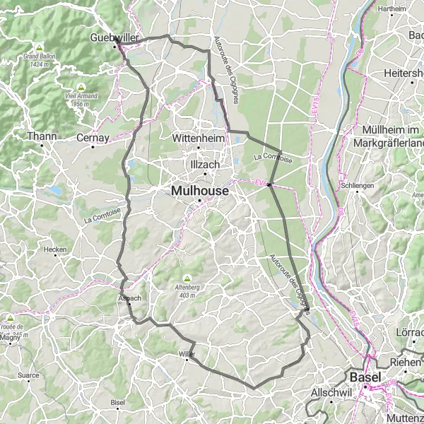
The Alsace Road Classic
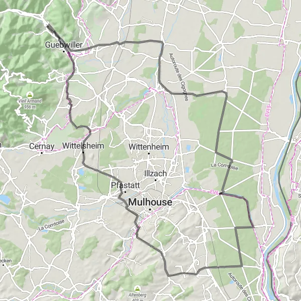
Experience the beauty of road cycling in Alsace on this challenging route starting near Guebwiller.
This road cycling route starting near Guebwiller offers a great mix of classic scenery and challenging climbs. With a difficulty level of 4, it is suitable for well-trained cyclists looking for a satisfying challenge. The 100-kilometer route features a total ascent of 384 meters, providing plenty of opportunities to test your climbing skills. Along the way, you'll pass through picturesque towns and villages, with highlights including Meyenheim, Munchhouse, and Wittelsheim. The route also offers the chance to visit the famous vineyards of Alsace.
The Bannstein Gravel Loop
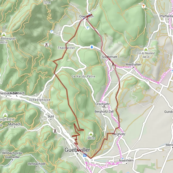
Embark on a thrilling gravel adventure, conquering the Col du Bannstein and enjoying breathtaking views.
With a distance of 27 kilometers and a demanding ascent of 563 meters, the Bannstein Gravel Loop is a challenging route great for experienced gravel cyclists. This route showcases the stunning landscapes and challenging terrain of the Bannstein mountain. Starting in Guebwiller, you'll conquer the Col du Bannstein, a famous climb in the region. Along the way, you'll also pass through Osenbach, a picturesque village nestled in the heart of the vineyards.
Embrace the beauty of the Vosges Mountains on this scenic road cycling route.
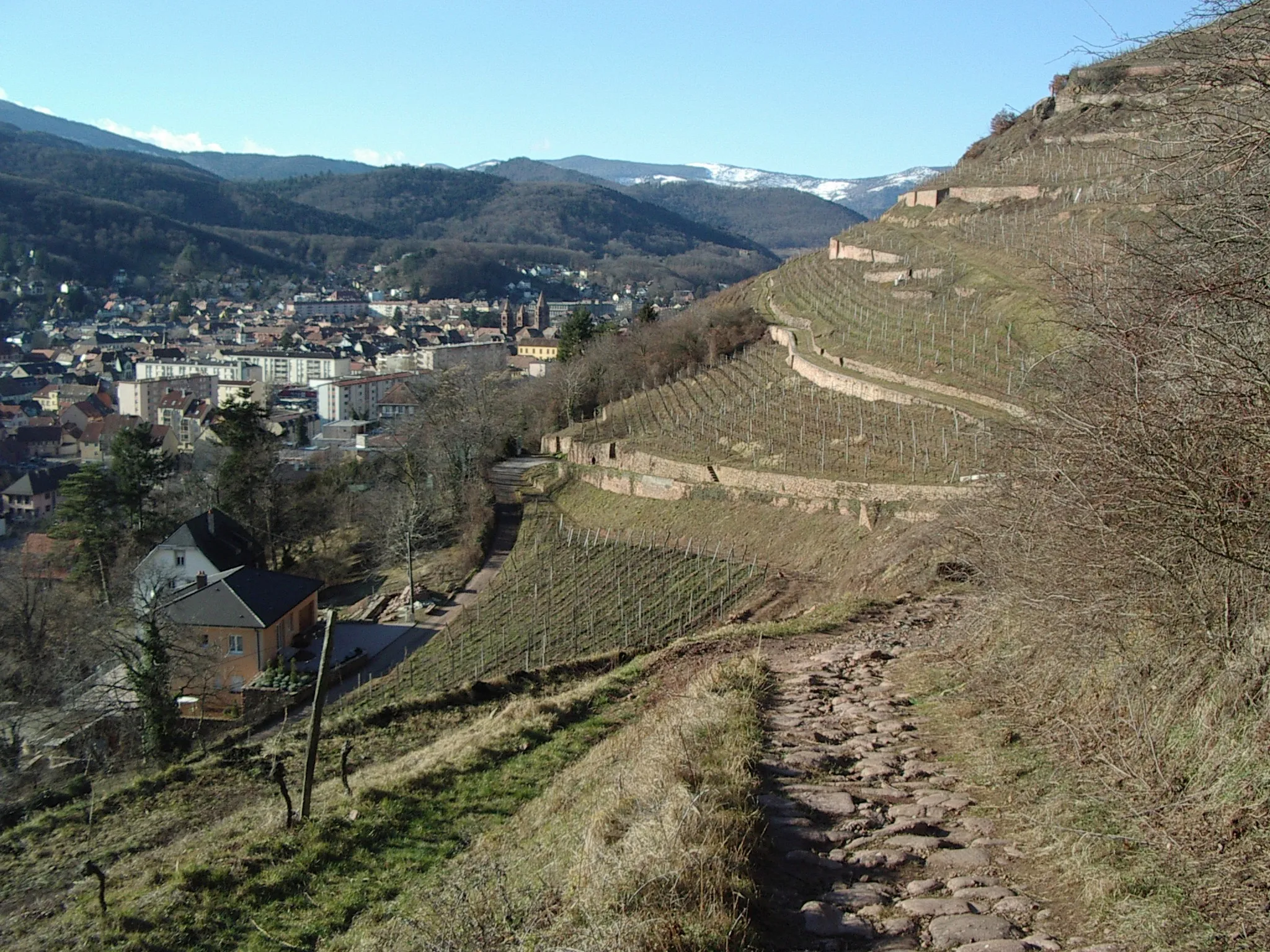
This road cycling route near Guebwiller allows you to discover the breathtaking beauty of the Vosges Mountains. With a challenging ascent of 1755 meters and a distance of 86 kilometers, this ride is perfect for experienced riders seeking a visually stunning adventure. The route highlights include Nez de Soultz, Soultz-Haut-Rhin, Uffholtz, Sentheim, Bourbach-le-Haut, Col du Hundsruck, Geishouse, Grand Ballon, Demberg, and Château du Hugstein, each offering unique views and interesting attractions along the way.
The Guebwiller Gravel Adventure
Ride through the gravel roads near Guebwiller and explore the beautiful Alsatian countryside.
This gravel route near Guebwiller takes you on a scenic adventure through the picturesque Alsatian countryside. With a moderate difficulty level and several highlights along the way, this route is perfect for experienced cyclists looking to explore off the beaten path. The 37-kilometer distance and 189-meter ascent provide a good challenge without being too daunting.
Explore the rugged beauty of the Vosges Mountains on this challenging gravel route starting near Guebwiller.
Embark on an epic gravel adventure through the rugged terrain of the Vosges Mountains. With a total ascent of 948 meters and a distance of 45 kilometers, this route is suitable for experienced gravel cyclists looking for a real challenge. Along the way, you'll conquer the famous Col du Bannstein and pass through the charming villages of Osenbach, Hattstatt, and Guebwiller. Prepare to be amazed by the breathtaking views and diverse landscapes that this region has to offer.
Conquer the highest peaks of the Vosges Mountains on this challenging road cycling route.
This road cycling route near Guebwiller is a true challenge for experienced riders, taking you to the highest peaks of the Vosges Mountains. With a demanding ascent of 1836 meters and a distance of 85 kilometers, this ride is not for the faint-hearted. The route highlights include Soultz-Haut-Rhin, Col Amic, Saint-Amarin, Kruth, Hundskopf, Trehkopf, Le Markstein, Demberg, and Château du Hugstein, offering breathtaking views of the mountains and the opportunity to conquer legendary climbs.
Challenge yourself on legendary climbs in the stunning Vosges Mountains.
This road cycling route near Guebwiller is a dream come true for climbers, taking you on a journey to conquer the legendary climbs of the Vosges mountains. With a demanding ascent of 1772 meters and a distance of 84 kilometers, this ride is perfect for experienced climbers looking for a challenging adventure. The route highlights include Château du Hugstein, Le Spitzkopf, Col du Platzerwasel, Muhlbach-sur-Munster, Soultzeren, Col du Firstplan, Table d'orientation, and Bergholtz, each offering unique views and the opportunity to test your climbing skills.
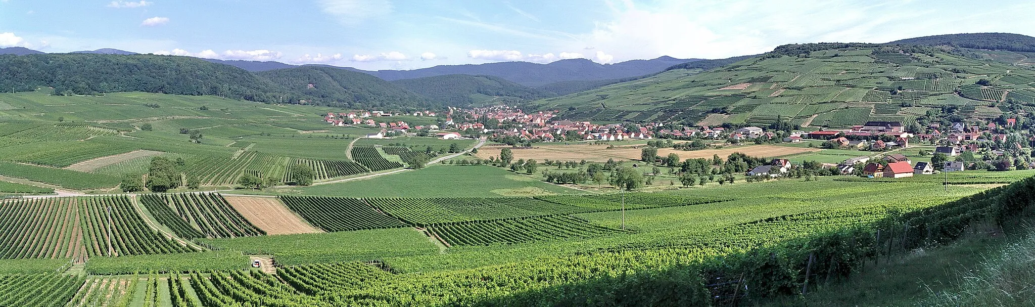
Through the Vineyards of Alsace
Discover the picturesque roads surrounded by vineyards
This route takes you through the beautiful vineyards of Alsace, providing a unique opportunity to explore the region's rich wine culture. The route offers stunning views of the rolling hills adorned with vineyards and charming villages along the way. With a total ascent of 535 meters and a distance of 118 kilometers, this ride is suitable for well-trained amateur cyclists. The difficulty level is rated as 3 out of 5 due to some moderate uphill sections, but the overall experience and scenic beauty make it worthwhile. Don't miss the chance to sample the local wines and enjoy the charming atmosphere of the vineyards.
Cycling routes nearby:
Nearby regions: