Mountainous Adventure in Alsace
A road cycling route starting from Guebwiller
Conquer the challenging mountain passes of Alsace
Map
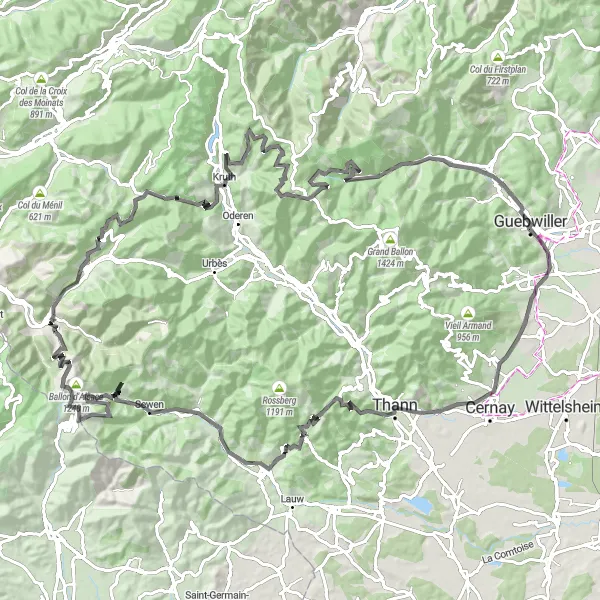
Embark on a thrilling journey through the mountains of Alsace with this challenging road cycling route. With a total ascent of 2,930 meters and a distance of 125 kilometers, this route is only suitable for experienced and well-trained cyclists. Prepare yourself for steep climbs and breathtaking descents as you conquer some of the region's most famous mountain passes. The difficulty level is rated as 5 out of 5 due to the extreme elevations and demanding terrain. But the epicness factor is also cranked up, with multiple legendary climbs and iconic spots along the way. You'll have the chance to witness stunning panoramic views, conquer iconic peaks such as Ballon d'Alsace, and experience the thrill of cycling in the heart of nature.
road
125 km
2930 m
Savage
Route profile
Highlights on the route
0 km
0 km
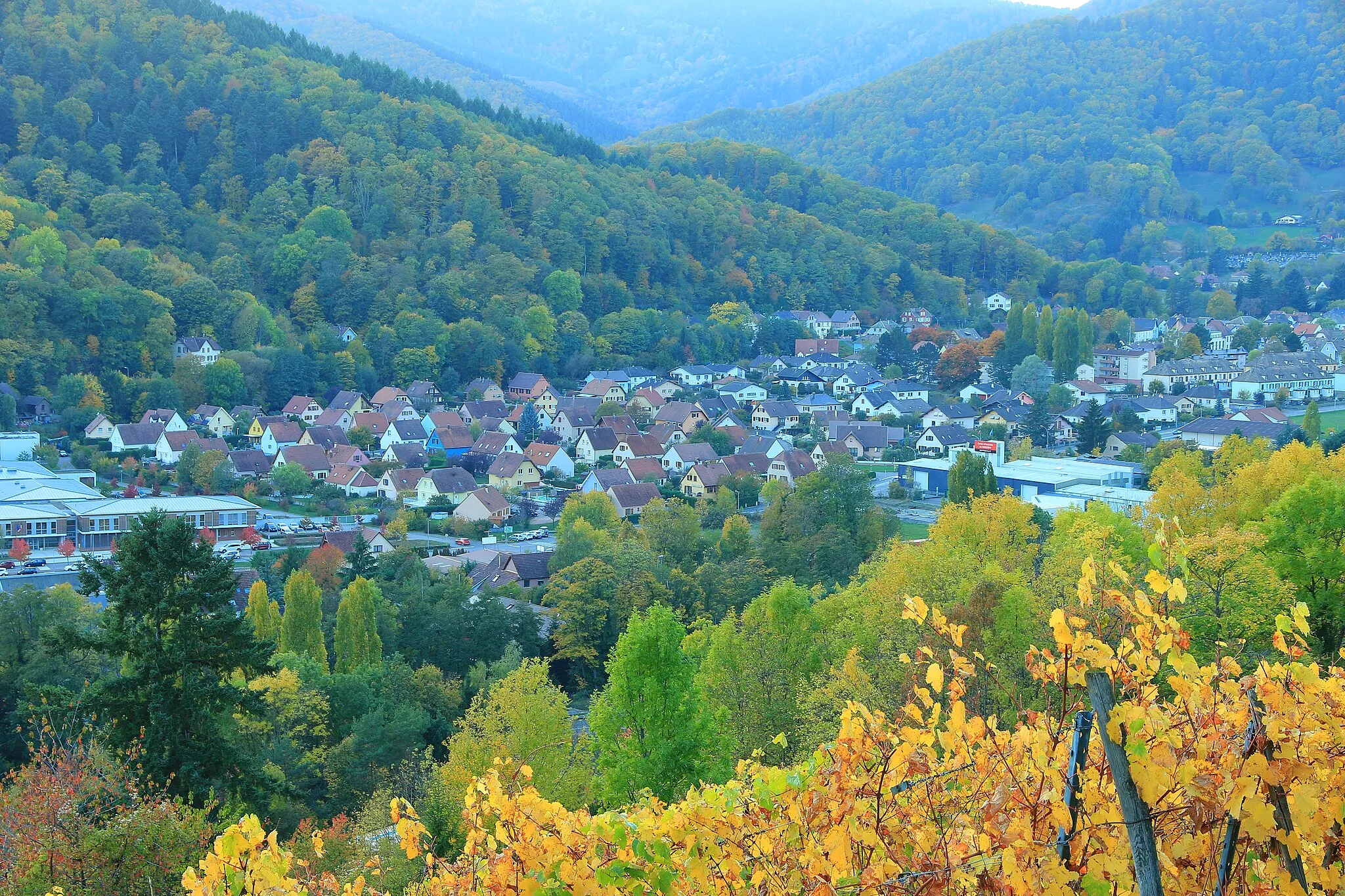
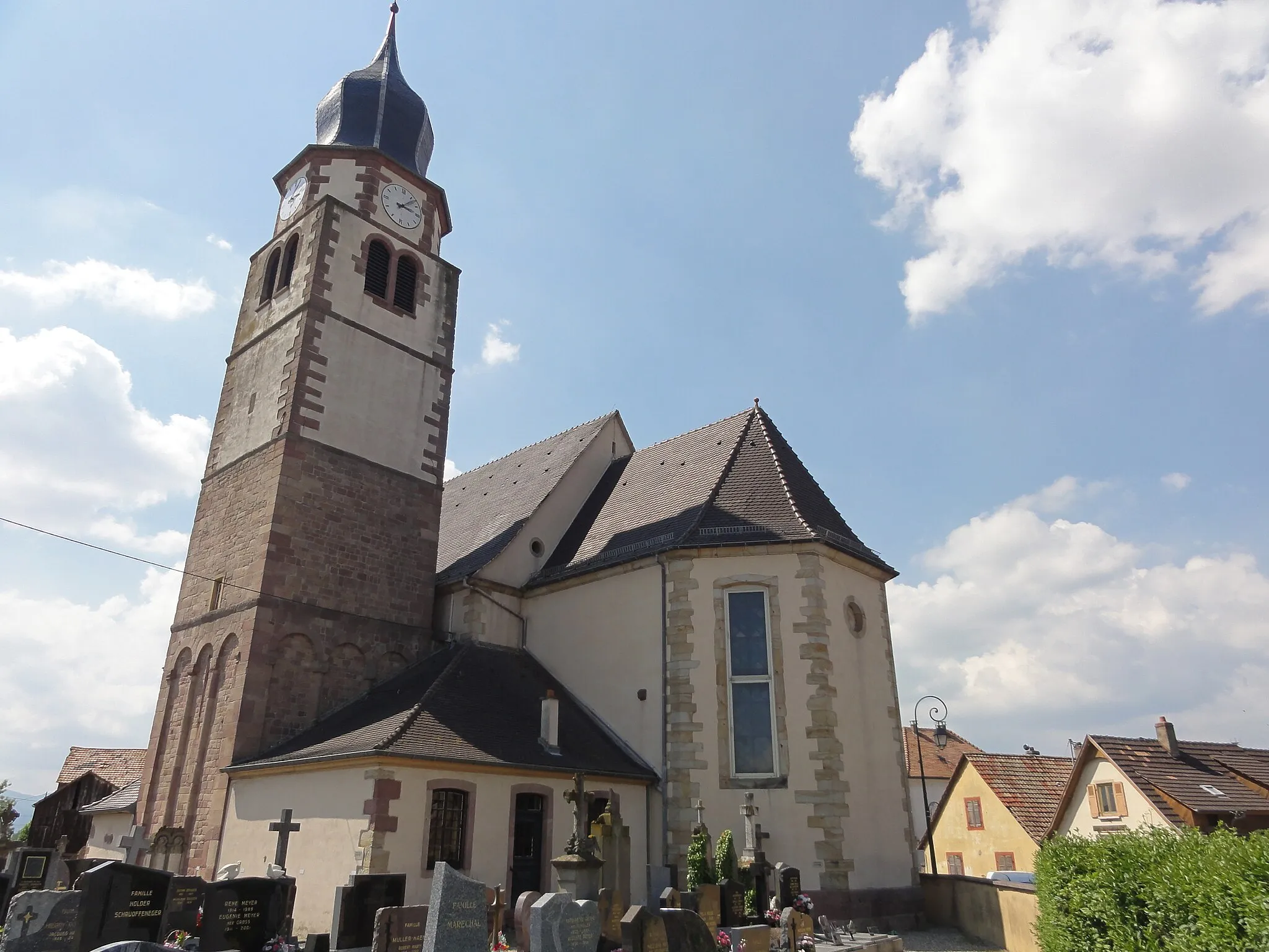
Start: Guebwiller City centerGuebwiller: Adventurous cycling in Alsace
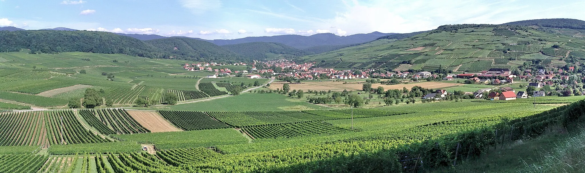
Guebwiller, located in the Alsace region of France, is a fantastic destination for road and gravel cycling. The area offers a variety of cycling routes, from flat scenic roads to more challenging climbs. One famous cycling spot nearby is the Route des Vins d'Alsace, which takes cyclists through picturesque vineyards and charming villages. Guebwiller itself is a vibrant town, with plenty of cafes and restaurants to refuel after a long ride. With its cycling-friendly infrastructure and beautiful surroundings, Guebwiller is a must-visit for cyclists exploring the Alsace region.3 km
3 km
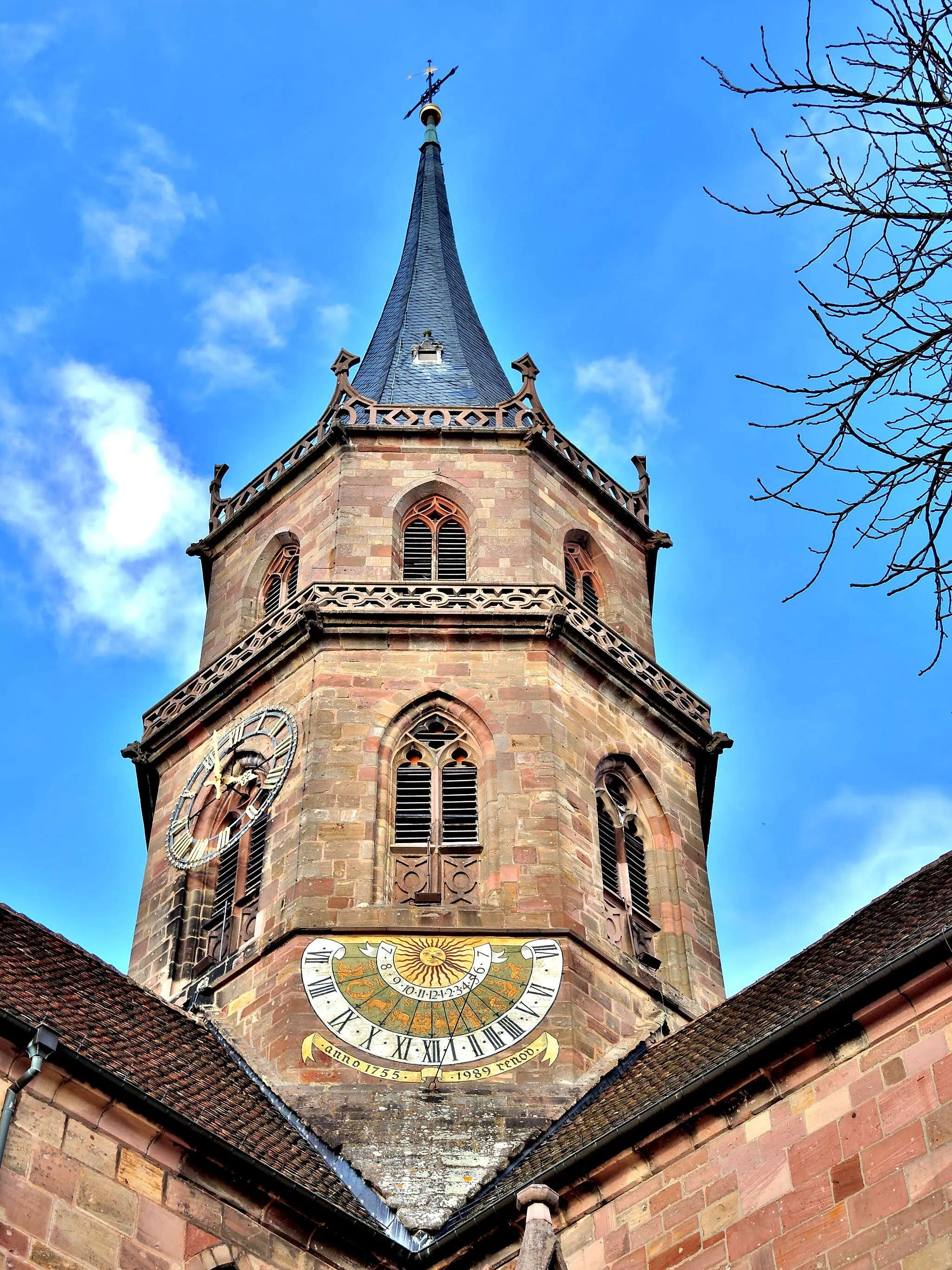
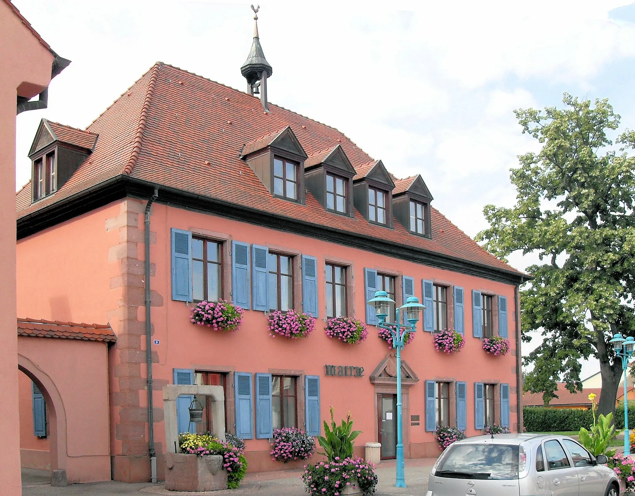
Soultz-Haut-RhinVillageSoultz-Haut-Rhin is a charming town nestled at the foot of the Vosges mountains. Explore its quaint streets and admire the Alsatian architecture.
16 km
16 km
DrachenfelsViewpointDrachenfels is a rocky outcrop overlooking the village of Thann. It offers stunning views of the surrounding mountains and forests, making it a perfect spot for a photo op.
25 km
25 km
Col du Hundsruck748 mMountain PassCol du Hundsrück is a legendary mountain pass known for its challenging gradients and breathtaking scenery. Take on the climb and be rewarded with panoramic vistas at the summit.
39 km
39 km
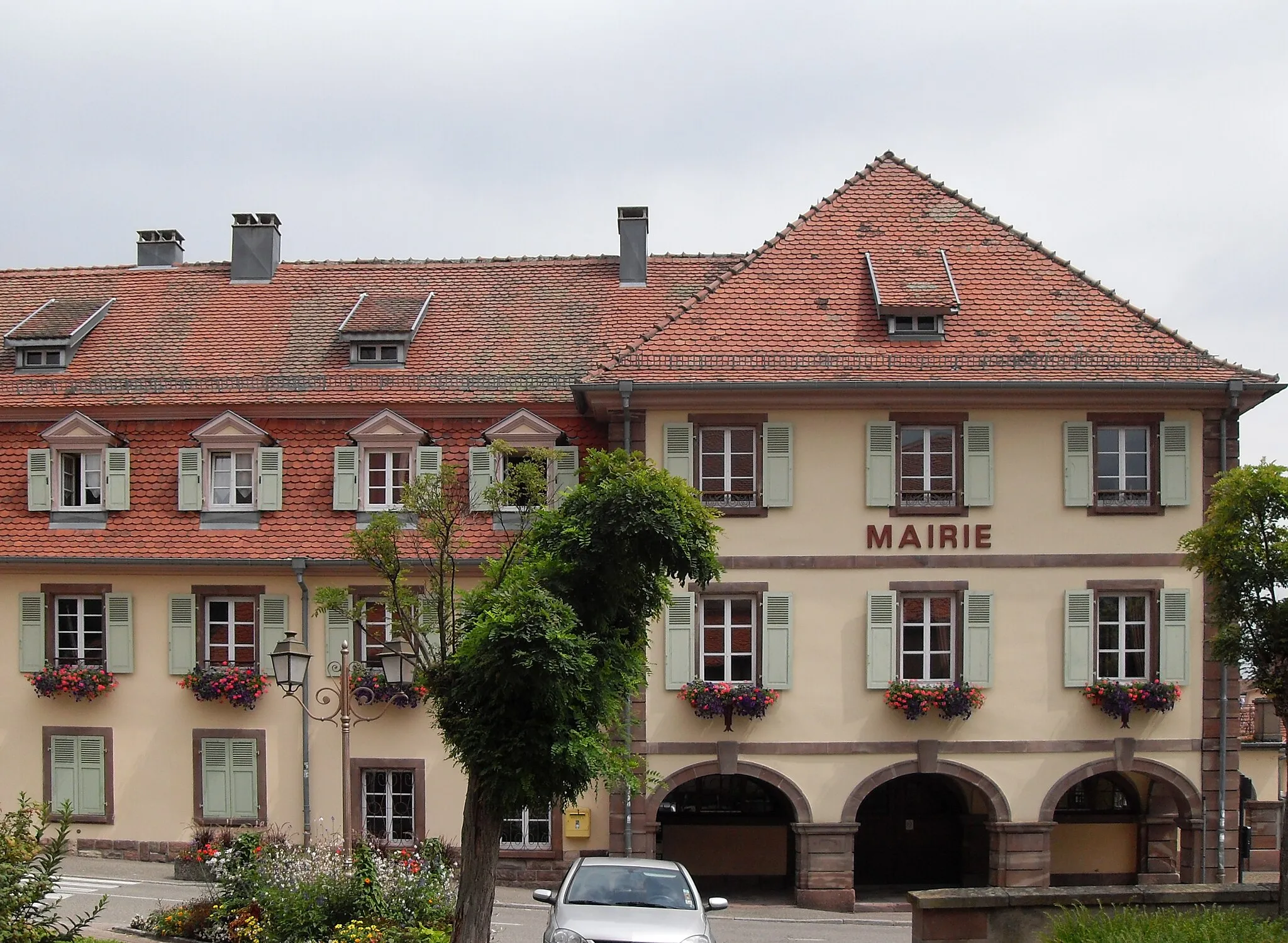
DollerenVillageDolleren is a peaceful village surrounded by lush greenery and serene landscapes. Pause here to recharge and enjoy the tranquility of the mountains.
57 km
57 km
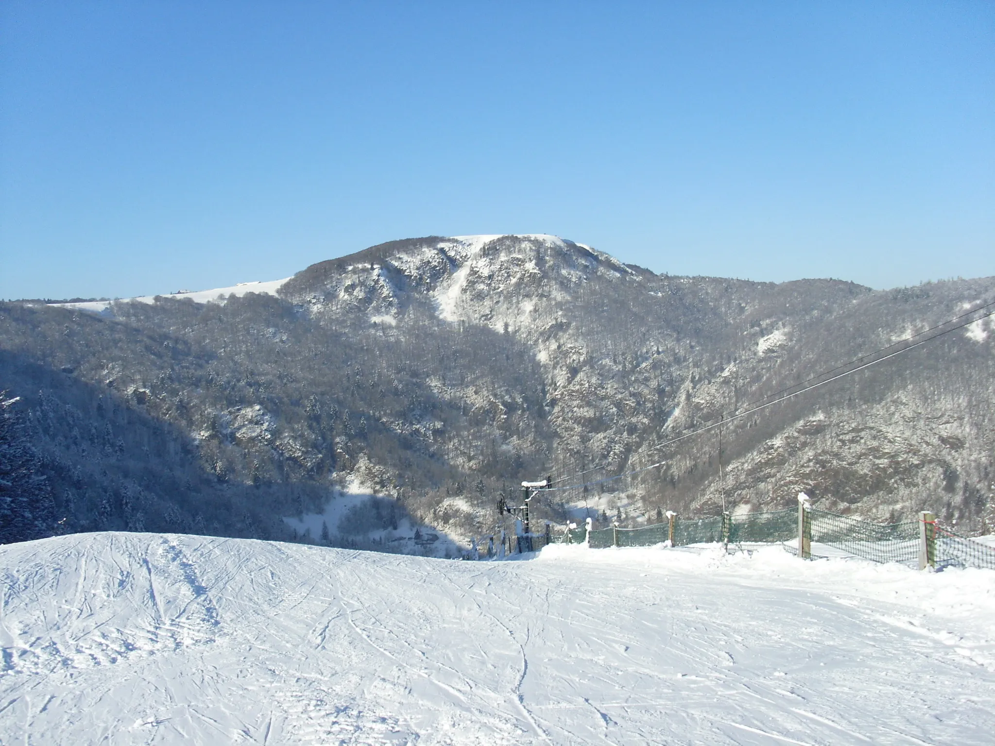
Ballon d'Alsace1248 mPeakBallon d'Alsace is the crown jewel of this route. Conquering this iconic climb will make you feel like a true cycling champion. From its summit, you'll be treated to breathtaking views of the entire Alsace region.
70 km
70 km
BussangVillageBussang is a picturesque village located in a valley surrounded by mountains. Immerse yourself in the beauty of nature and breathe in the fresh mountain air.
79 km
79 km
Col d'Oderen884 mMountain PassCol d'Oderen is a challenging mountain pass with hairpin bends and steep gradients. Be prepared for a thrilling descent and take in the spectacular views of the valley below.
87 km
87 km
KruthVillageKruth is a small village nestled between two lakes. Take a moment to relax by the water and enjoy the peacefulness of this serene environment.
101 km
101 km
Trehkopf1266 mPeakTrehkopf is a stunning viewpoint that offers panoramic vistas of the surrounding mountains and valleys. Take a break here and admire the beauty of the natural landscape.
109 km
109 km
Le Spitzkopf1281 mPeakLe Spitzkopf is a forested hill offering tranquil walking trails and a peaceful retreat from the bustling city life. Enjoy a moment of solitude in nature.
122 km
122 km
Château du HugsteinCastleChâteau du Hugstein is a historic castle perched on a hilltop. Explore its medieval ruins and soak in the history and grandeur of this impressive fortress.
125 km
125 km
Finish: Guebwiller City centerGuebwiller: Adventurous cycling in Alsace
Cycling routes from Guebwiller:
Gravel Adventure in the Alsatian Vineyards The Vosges Gravel Adventure The Bannstein Gravel Loop The Guebwiller Gravel Adventure Climb the Legends of the Vosges Mountains The Alsace Road Classic Majestic Hautes Vosges Road Ride Ultimate Vosges Climbing Challenge The Alsatian Mountaineer Discover the Beauty of the Vosges Mountains Mountainous Adventure in Alsace Through the Vineyards of Alsace
Cycling routes nearby: