The Bannstein Gravel Loop
A gravel cycling route starting from Guebwiller
Embark on a thrilling gravel adventure, conquering the Col du Bannstein and enjoying breathtaking views.
Map
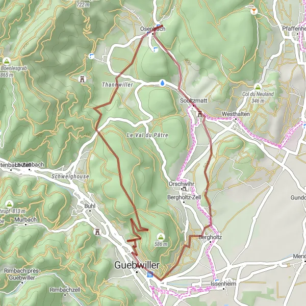
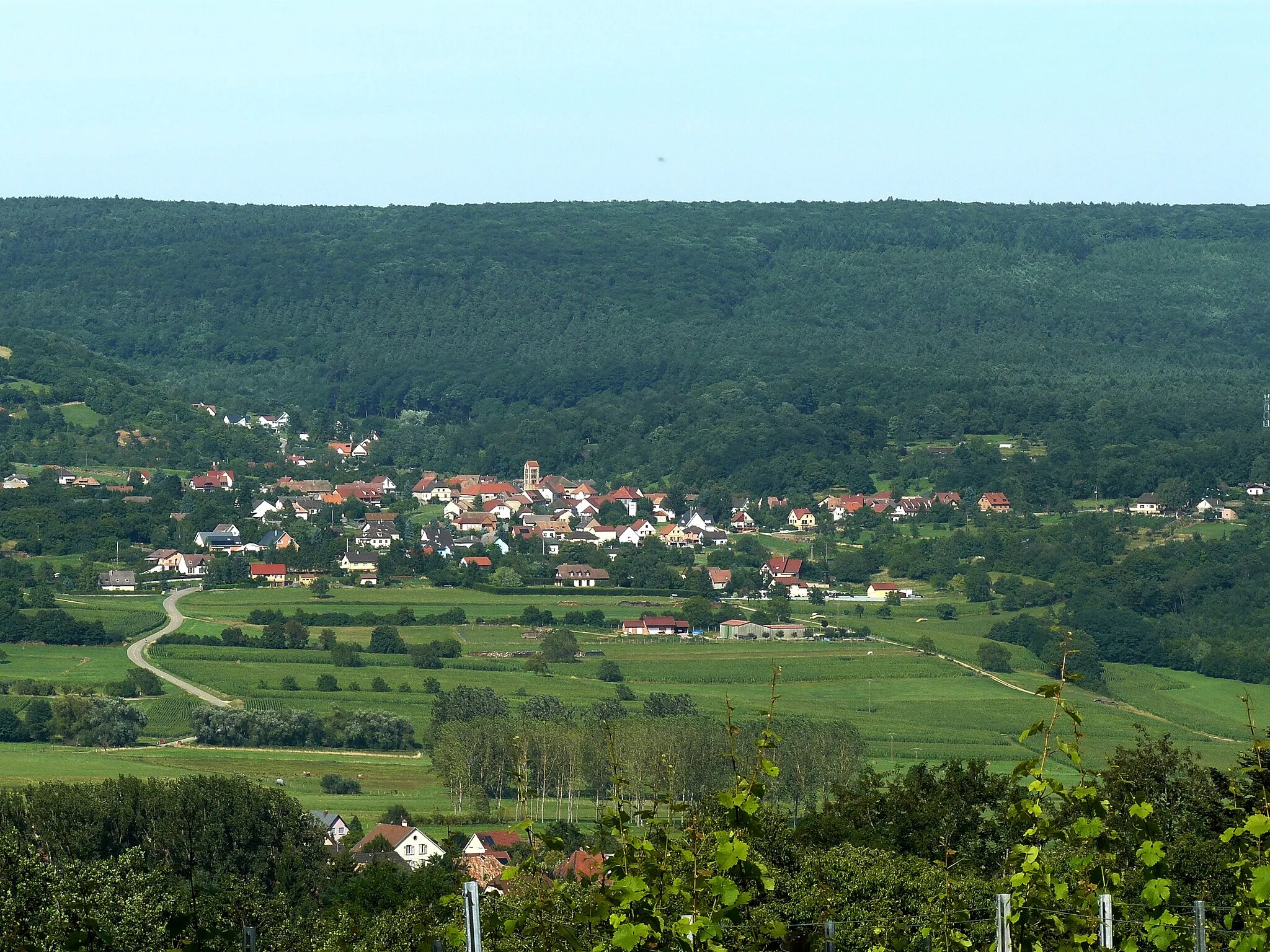
With a distance of 27 kilometers and a demanding ascent of 563 meters, the Bannstein Gravel Loop is a challenging route great for experienced gravel cyclists. This route showcases the stunning landscapes and challenging terrain of the Bannstein mountain. Starting in Guebwiller, you'll conquer the Col du Bannstein, a famous climb in the region. Along the way, you'll also pass through Osenbach, a picturesque village nestled in the heart of the vineyards.
gravel
27 km
563 m
Tough
Route profile
Highlights on the route
0 km
0 km
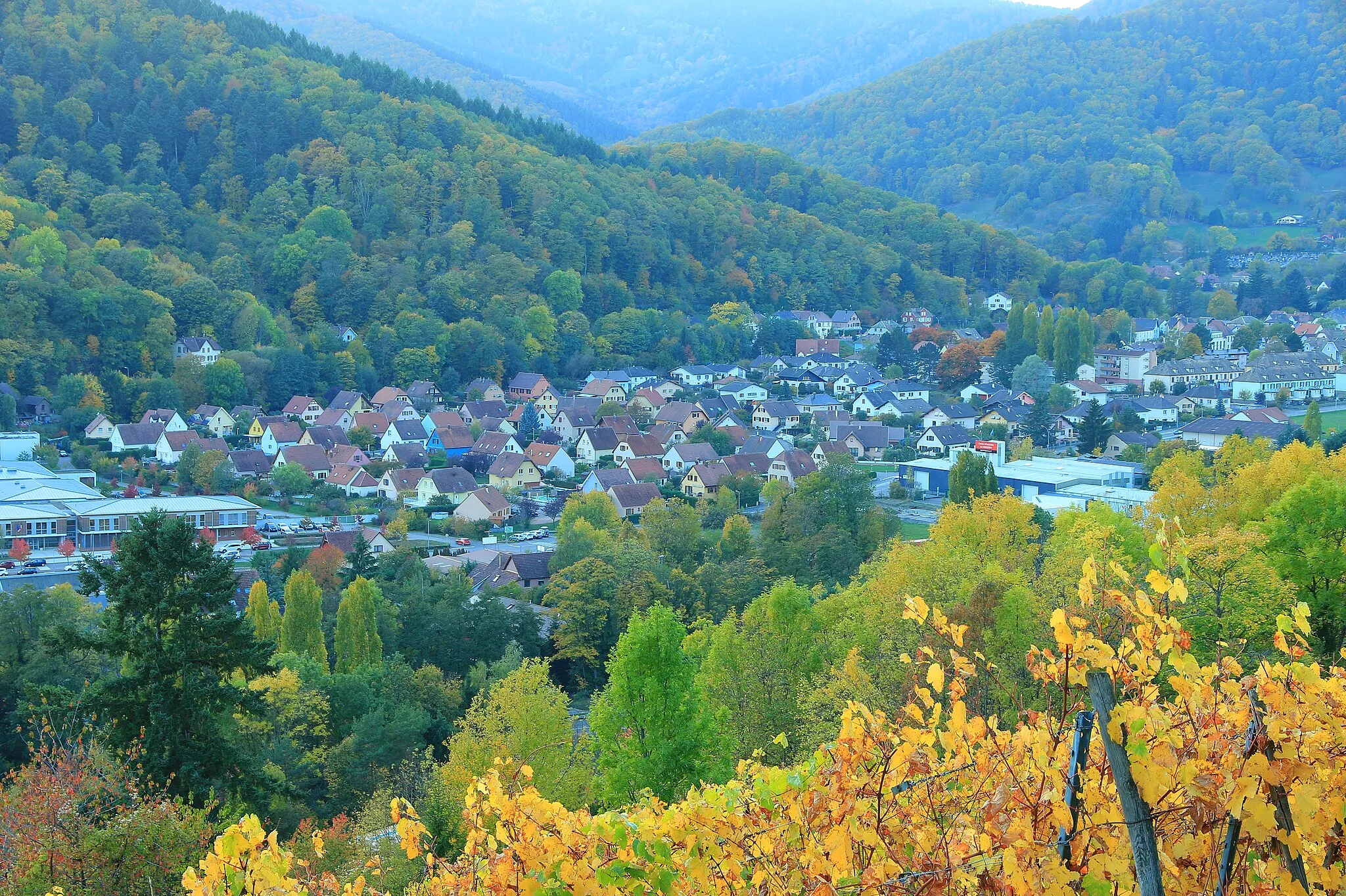
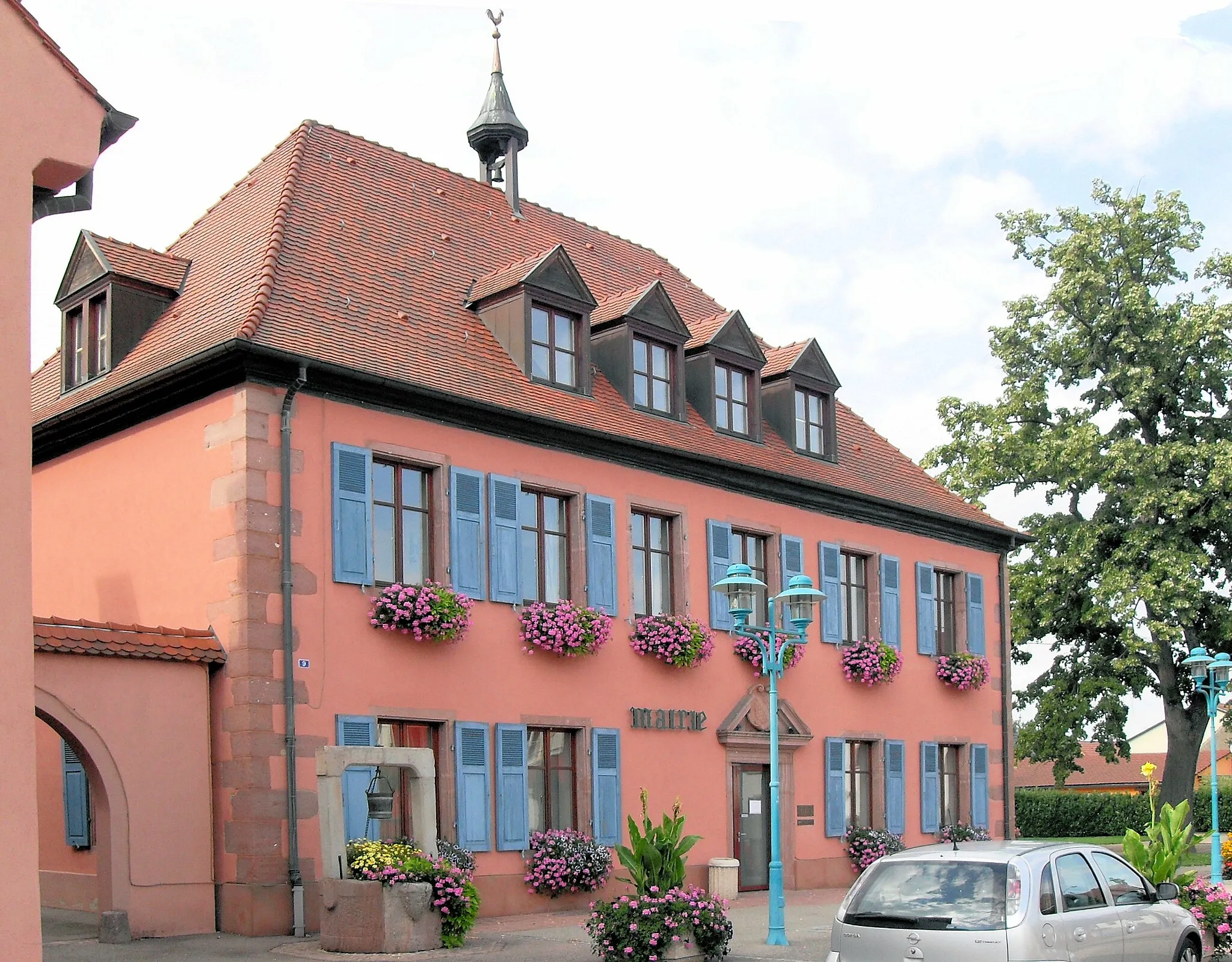
Start: Guebwiller City centerGuebwiller: Adventurous cycling in Alsace
Guebwiller, located in the Alsace region of France, is a fantastic destination for road and gravel cycling. The area offers a variety of cycling routes, from flat scenic roads to more challenging climbs. One famous cycling spot nearby is the Route des Vins d'Alsace, which takes cyclists through picturesque vineyards and charming villages. Guebwiller itself is a vibrant town, with plenty of cafes and restaurants to refuel after a long ride. With its cycling-friendly infrastructure and beautiful surroundings, Guebwiller is a must-visit for cyclists exploring the Alsace region.8 km
8 km
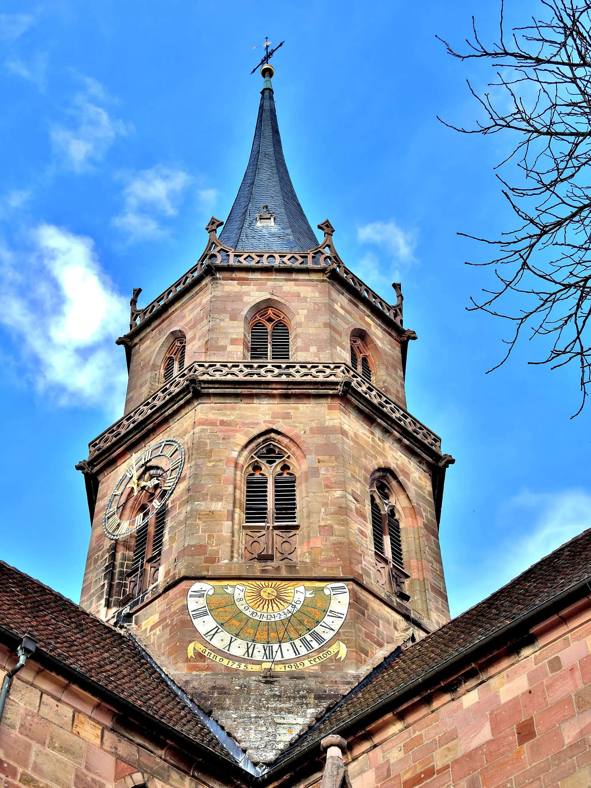
Col du Bannstein483 mMountain PassConquer the challenging Col du Bannstein, known for its steep gradient and stunning views.
14 km
14 km
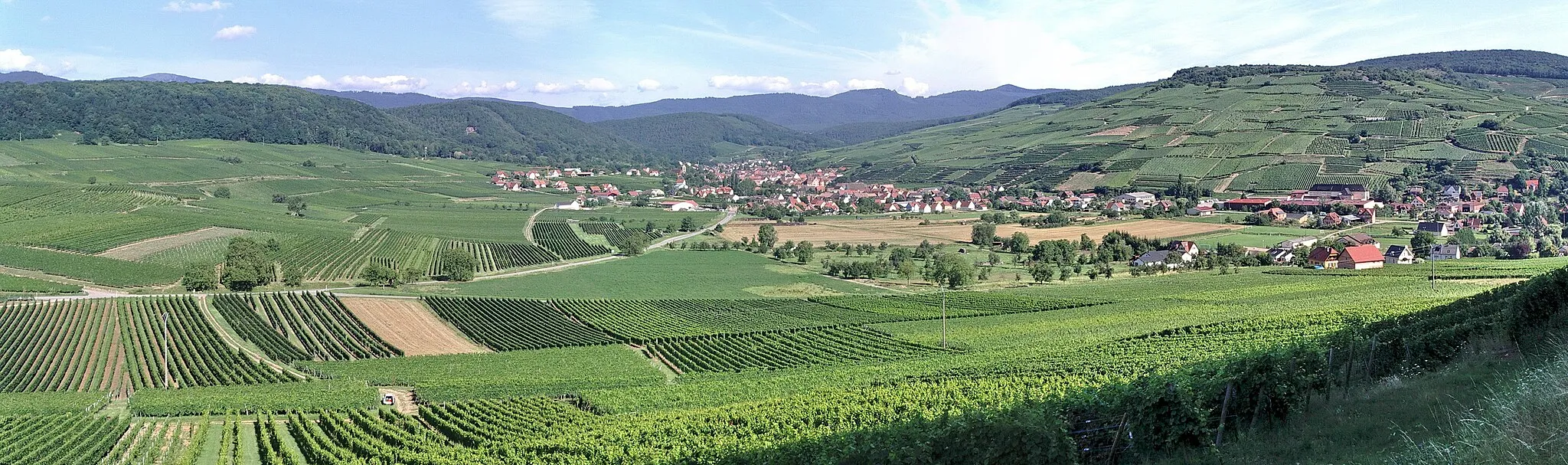
OsenbachVillageVisit the charming village of Osenbach and take in the breathtaking views of the surrounding vineyards.
27 km
27 km
GuebwillerTownStart and finish your ride in Guebwiller, a beautiful town nestled at the foot of the Vosges Mountains.
27 km
27 km
Finish: Guebwiller City centerGuebwiller: Adventurous cycling in Alsace
Cycling routes from Guebwiller:
Gravel Adventure in the Alsatian Vineyards The Vosges Gravel Adventure The Bannstein Gravel Loop The Guebwiller Gravel Adventure Climb the Legends of the Vosges Mountains The Alsace Road Classic Majestic Hautes Vosges Road Ride Ultimate Vosges Climbing Challenge The Alsatian Mountaineer Discover the Beauty of the Vosges Mountains Mountainous Adventure in Alsace Through the Vineyards of Alsace
Cycling routes nearby: