Thann to Borne Vauthier Demarcation Stone
A gravel cycling route starting from Wattwiller
Discover the beauty of Alsace on this challenging gravel cycling route from Thann to Borne Vauthier Demarcation Stone
Map
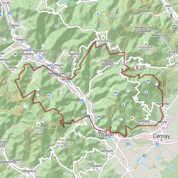
This challenging gravel cycling route takes you through the rugged landscapes of Alsace. Starting in Thann, the route passes through Staufen, Thanner Hubel, Mollau, Saint-Amarin, Grand Ballon, Riesenkopf, and ends at Borne Vauthier Demarcation Stone. With a total distance of 61 km and an ascent of 2164 m, this route offers a thrilling adventure for well-trained amateur off-road riders. The highlights include the historic town of Thann, the panoramic views from Grand Ballon, and the unique Borne Vauthier Demarcation Stone. Immerse yourself in the incredible natural beauty of Alsace as you conquer challenging climbs, ride through dense forests, and enjoy breathtaking views. Experience the essence of off-road cycling on this epic route.
gravel
61 km
2164 m
Savage
Route profile
Highlights on the route
0 km
0 km
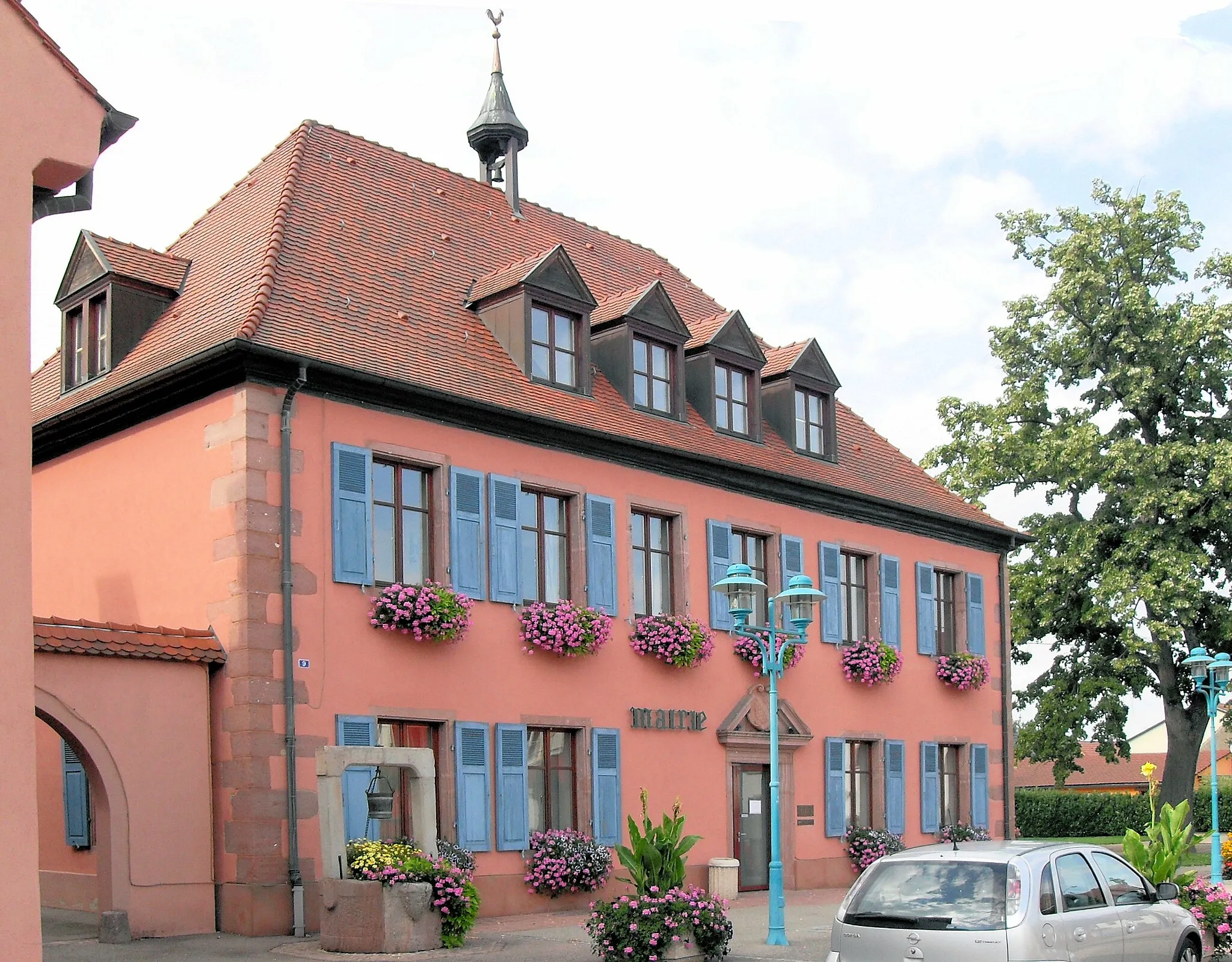
Start: Wattwiller Village centerWattwiller: Explore the famous Wine Road in Wattwiller on your bike.
Wattwiller, located in the Alsace region of France, is a fantastic locality for cyclists. The area offers a combination of flat stretches and rolling hills, providing a variety of cycling routes for all skill levels. As you ride through Wattwiller, you'll be surrounded by lush vineyards, charming villages, and scenic countryside. The locality is also home to the famous Wine Road, a popular cycling route that takes you through some of the best vineyards in the region. Whether you're a road cyclist or prefer gravel trails, Wattwiller is a great destination to explore on two wheels.11 km
11 km
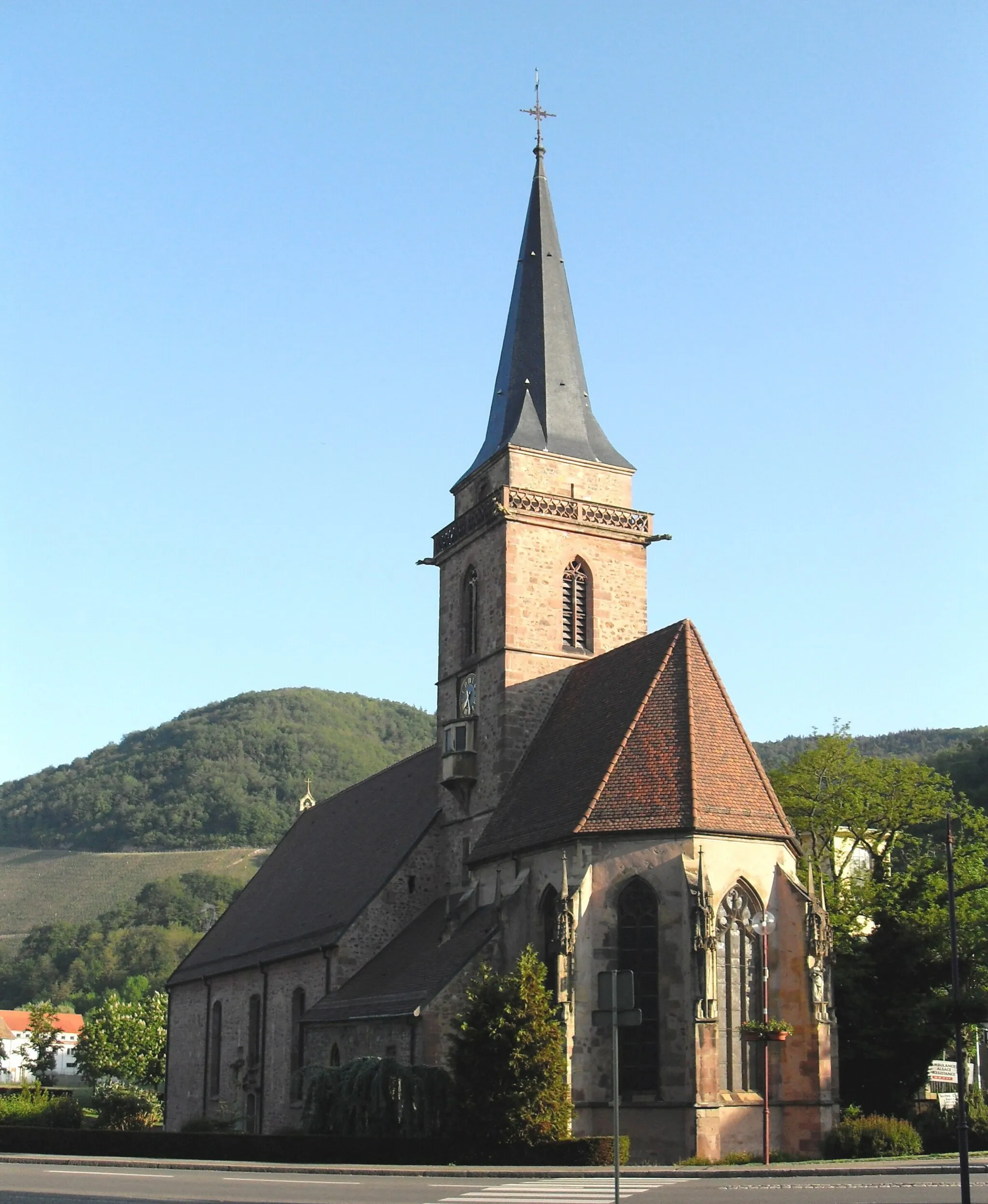
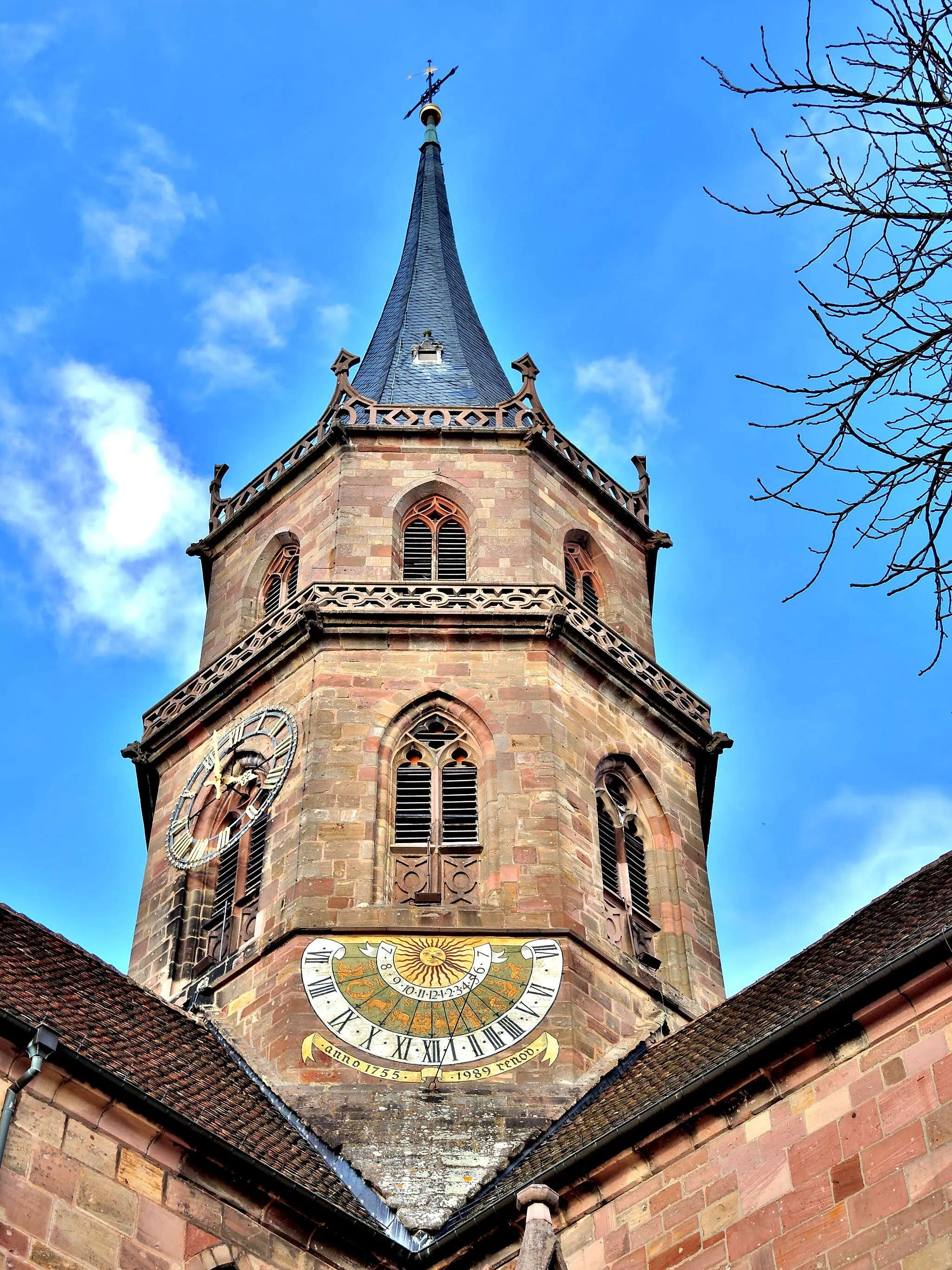
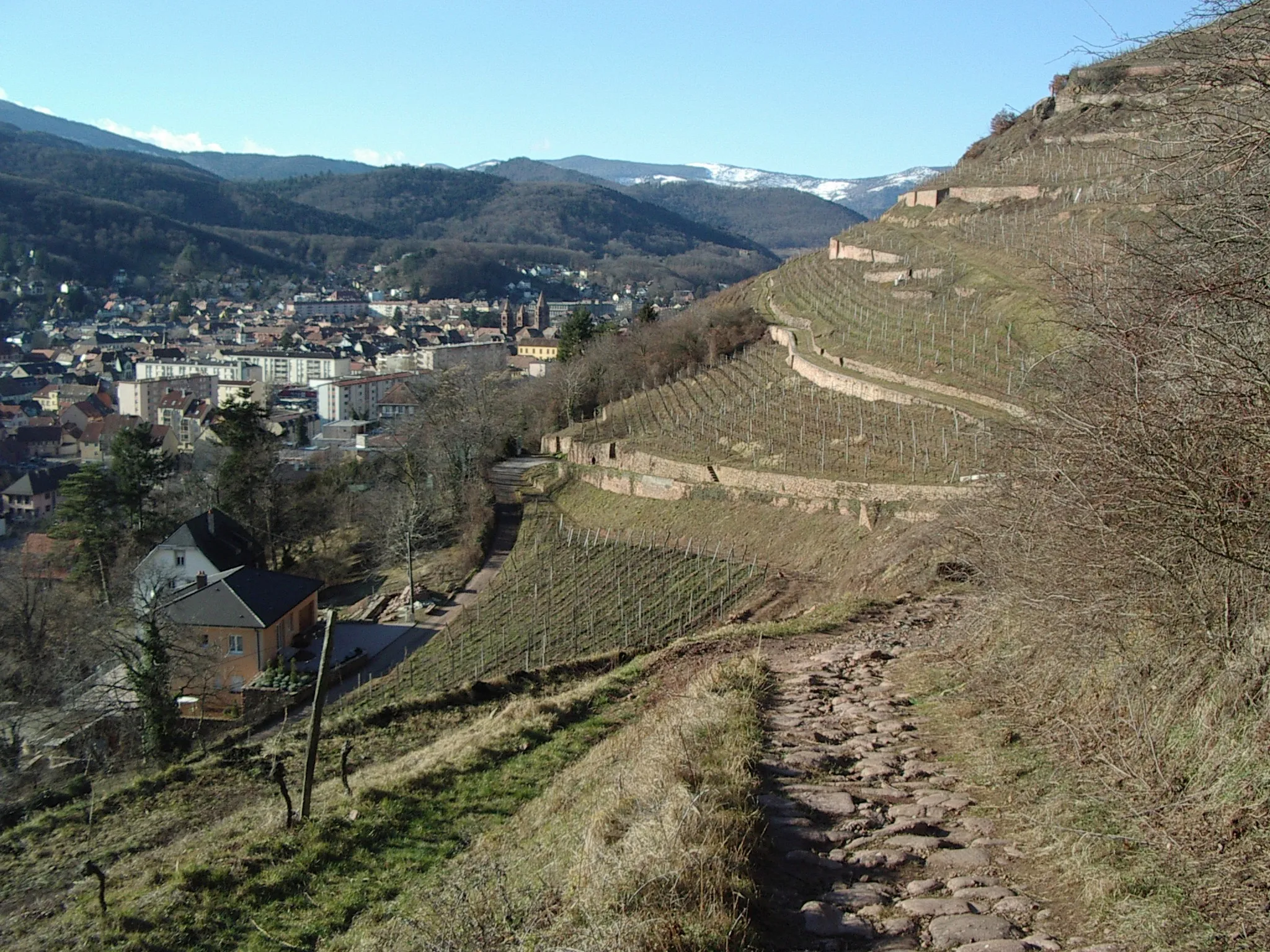
ThannTownThann is a historic town with an impressive Gothic church and picturesque streets. Explore its rich history and admire the unique architecture.
12 km
12 km
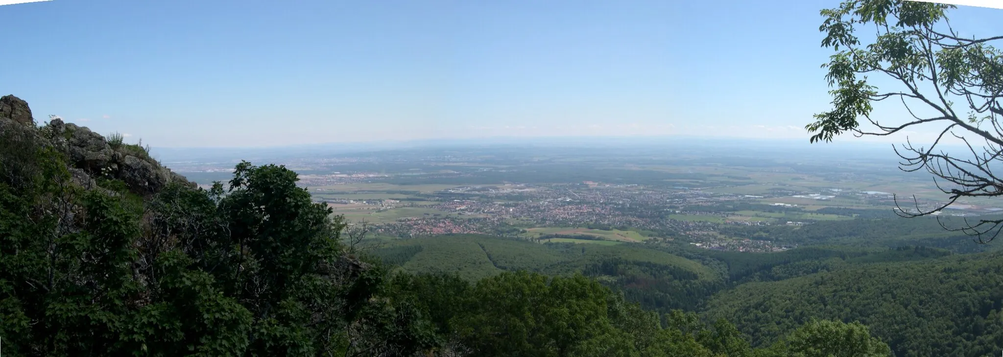
Staufen510 mPeakStaufen is a small village located at the foot of the Vosges mountains. Discover its charming streets and enjoy the peaceful atmosphere.
23 km
23 km
Thanner Hubel1183 mPeakThanner Hubel is a scenic spot with panoramic views of the surrounding countryside. Take a moment to soak in the beauty of the landscape.
31 km
31 km
MollauVillageMollau is a picturesque village known for its traditional Alsatian architecture. Explore its narrow streets and admire the charming houses.
37 km
37 km
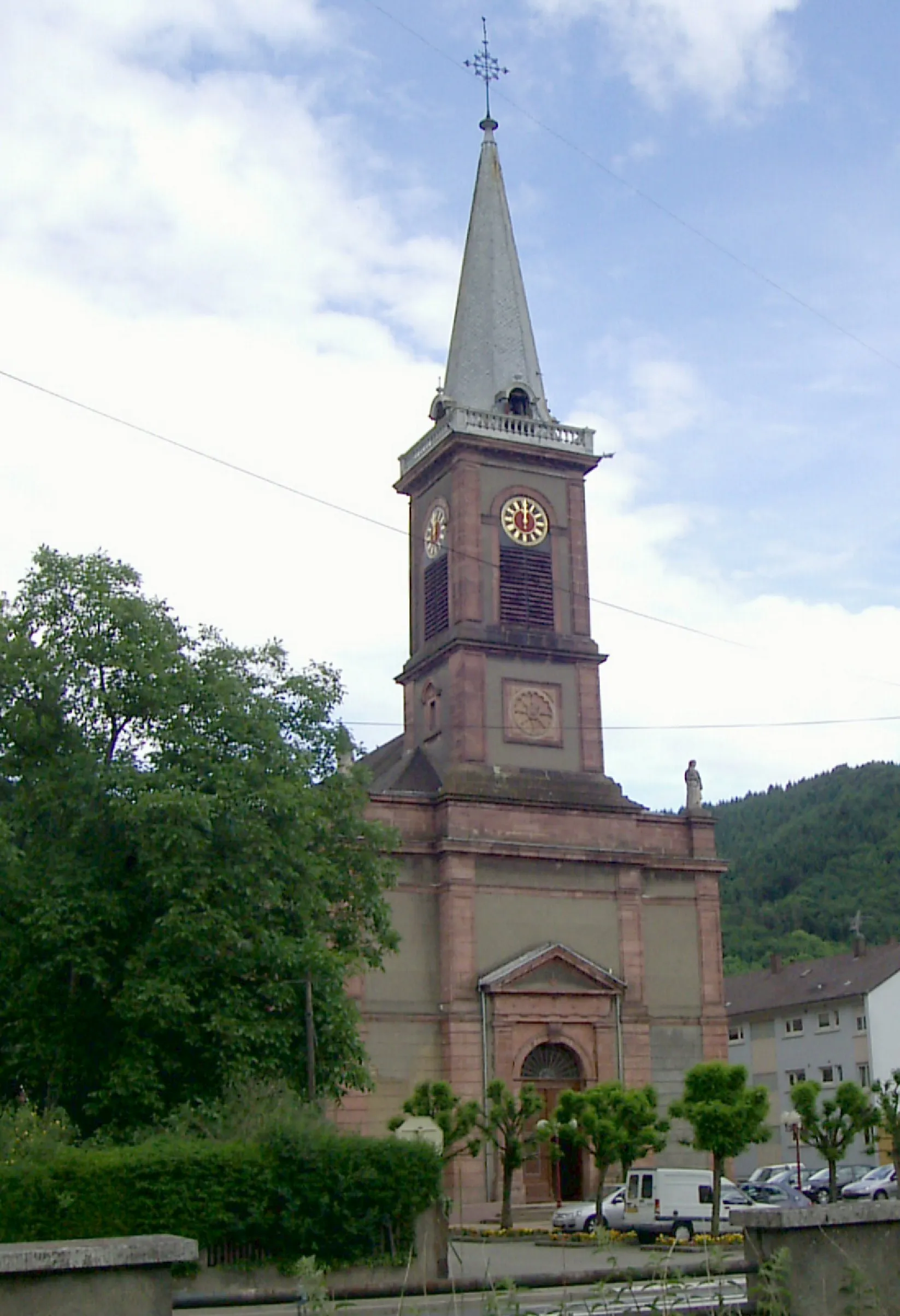
Saint-AmarinVillageSaint-Amarin is nestled at the heart of the Vosges mountains. Discover its natural beauty and enjoy the serenity of the surrounding landscapes.
46 km
46 km
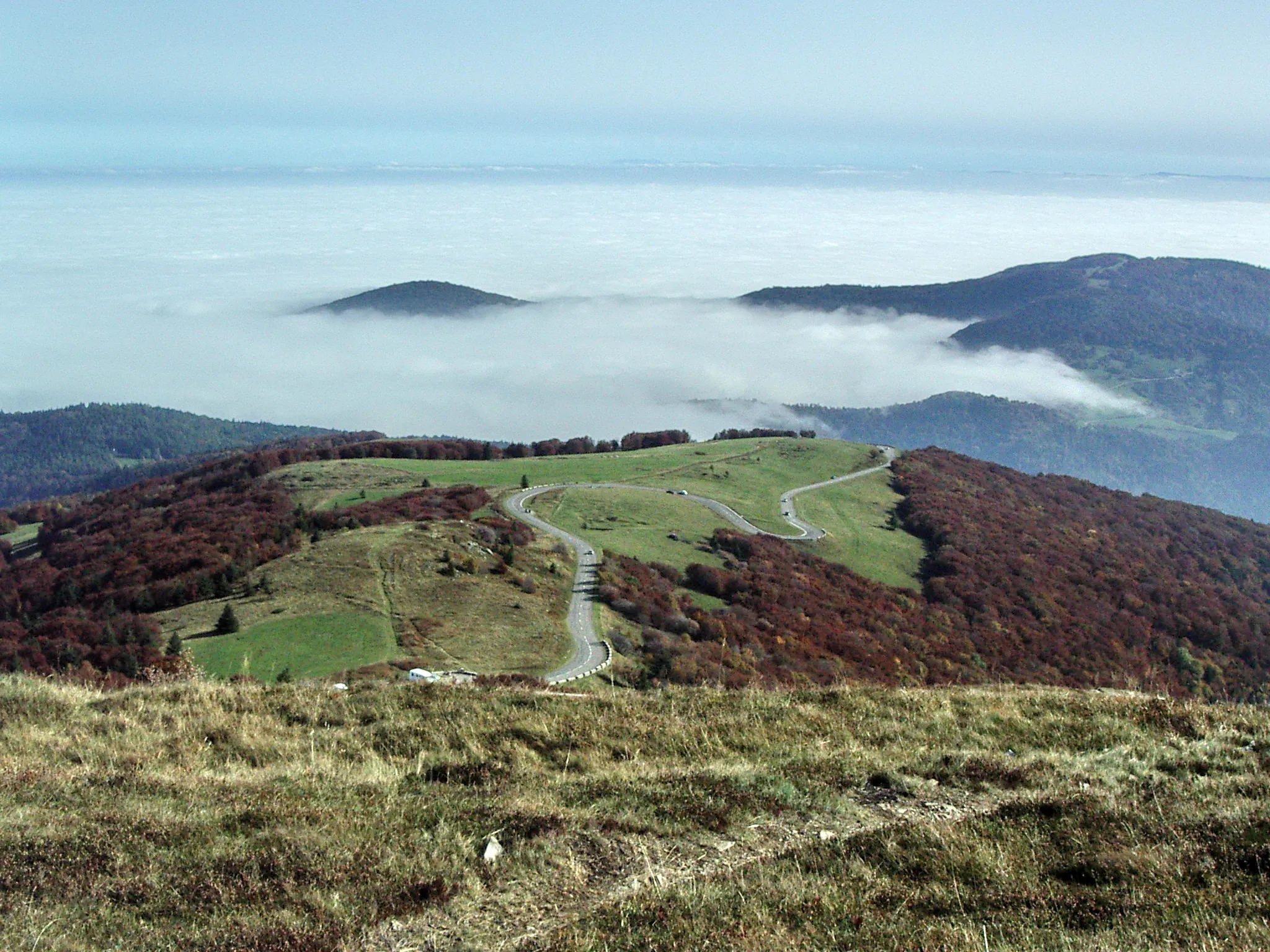
Grand Ballon1424 mPeakGrand Ballon is the highest peak in the Vosges mountains. Enjoy the panoramic views from the summit and take in the stunning landscapes.
53 km
53 km
Riesenkopf1077 mPeakRiesenkopf is a rugged mountain with breathtaking views. It's a challenging climb, but the scenery at the top makes it all worth it.
57 km
57 km
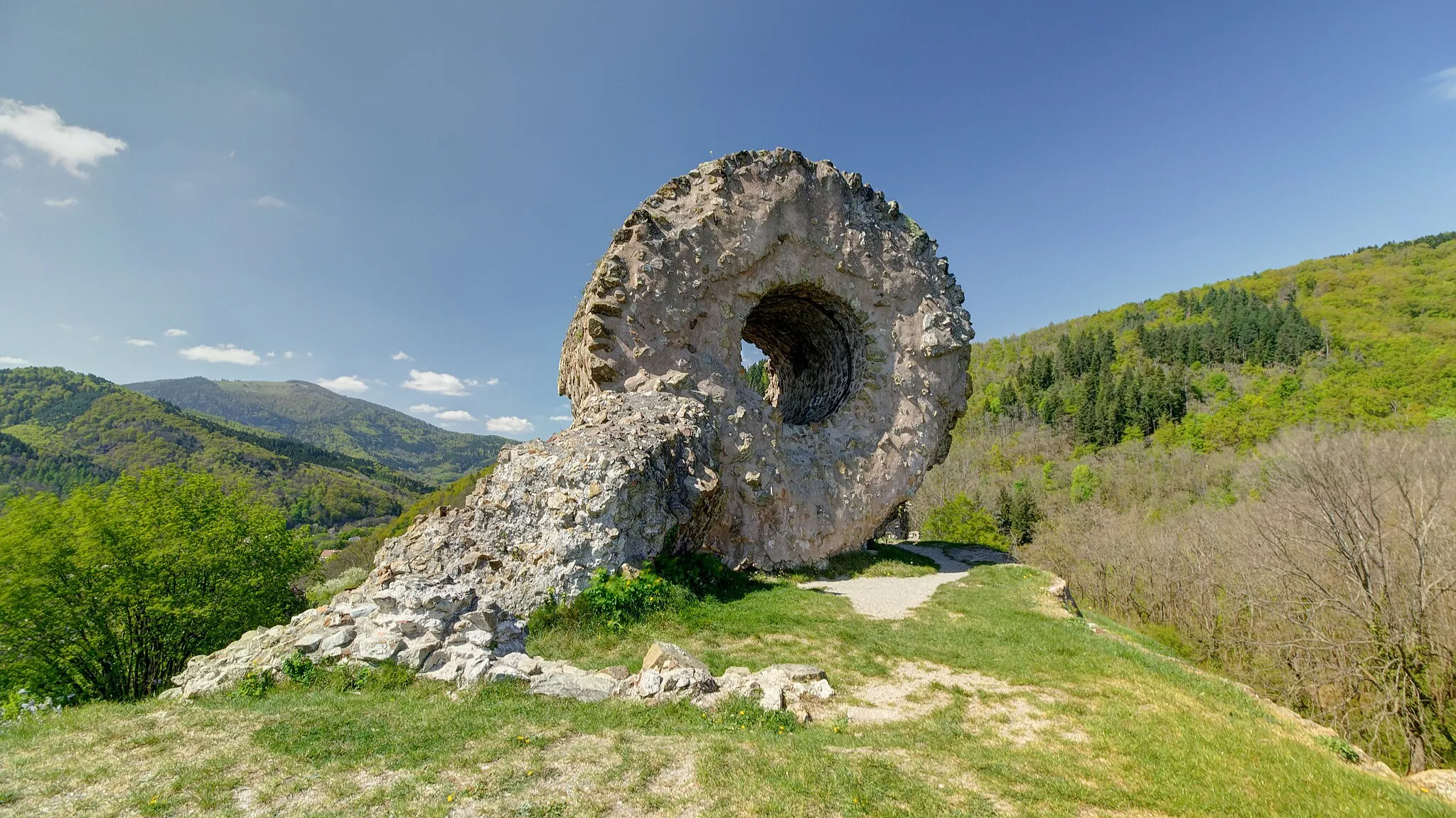
Borne Vauthier Demarcation StoneAttractionBorne Vauthier Demarcation Stone is a historic monument that marks the former boundary between France and Germany. Learn about its significance and immerse yourself in its history.
61 km
61 km
Finish: Wattwiller Village centerWattwiller: Explore the famous Wine Road in Wattwiller on your bike.
Cycling routes from Wattwiller:
Roads of Rouffach Bollwiller and the Surrounding Vineyards Soultz-Haut-Rhin to Uffholtz Ensisheim to Wittelsheim Wuenheim to Raedersheim Gravel Adventure Around Hartmannswiller Wattwiller Loop Staffelfelden to Wittelsheim Mulhouse Discovery Thann to Borne Vauthier Demarcation Stone The Alsace Adventure
Cycling routes nearby: