The Vosges Gravel Adventure
A gravel cycling route starting from Eguisheim
An epic off-road experience in the heart of Vosges mountains
Map
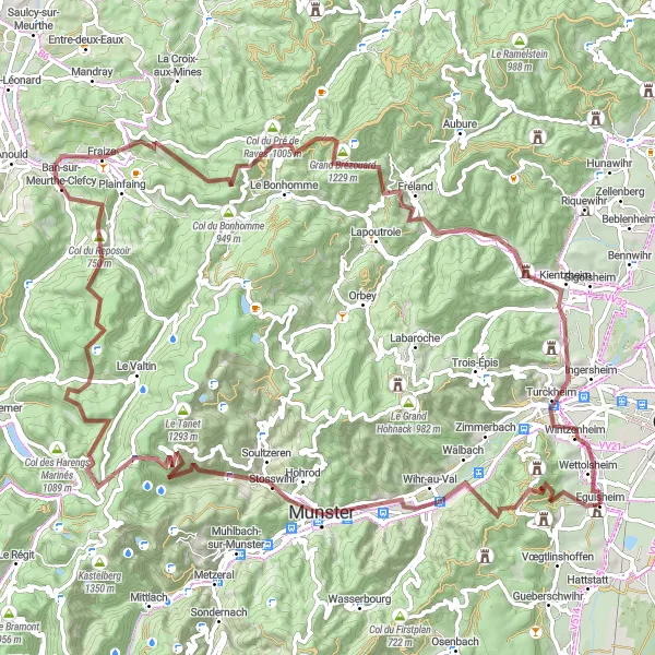
Embark on an adventurous gravel ride through the picturesque Vosges mountains. This challenging route covers a distance of 105 kilometers with a total ascent of 2839 meters. Ride through scenic landscapes and enjoy the breathtaking views from Stumpfenkopf lookout. Visit iconic spots like Gunsbach and Cascade Charlemagne along the way. The route also features the historic Col de la Schlucht and Col du Reposoir, perfect for testing your climbing skills. Overall, this route offers a thrilling and memorable experience for gravel enthusiasts.
gravel
105 km
2839 m
Tough
Route profile
Highlights on the route
0 km
0 km
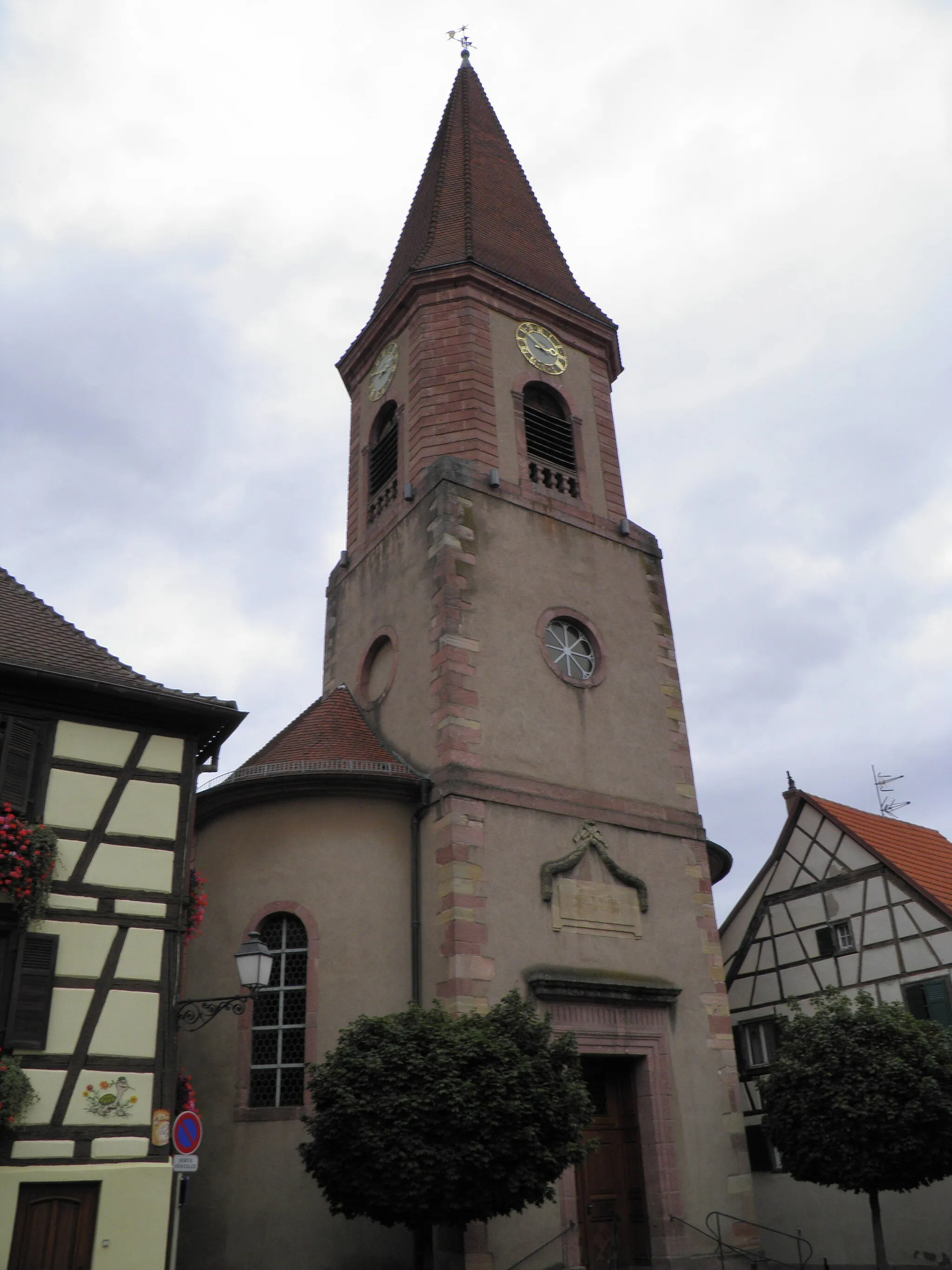
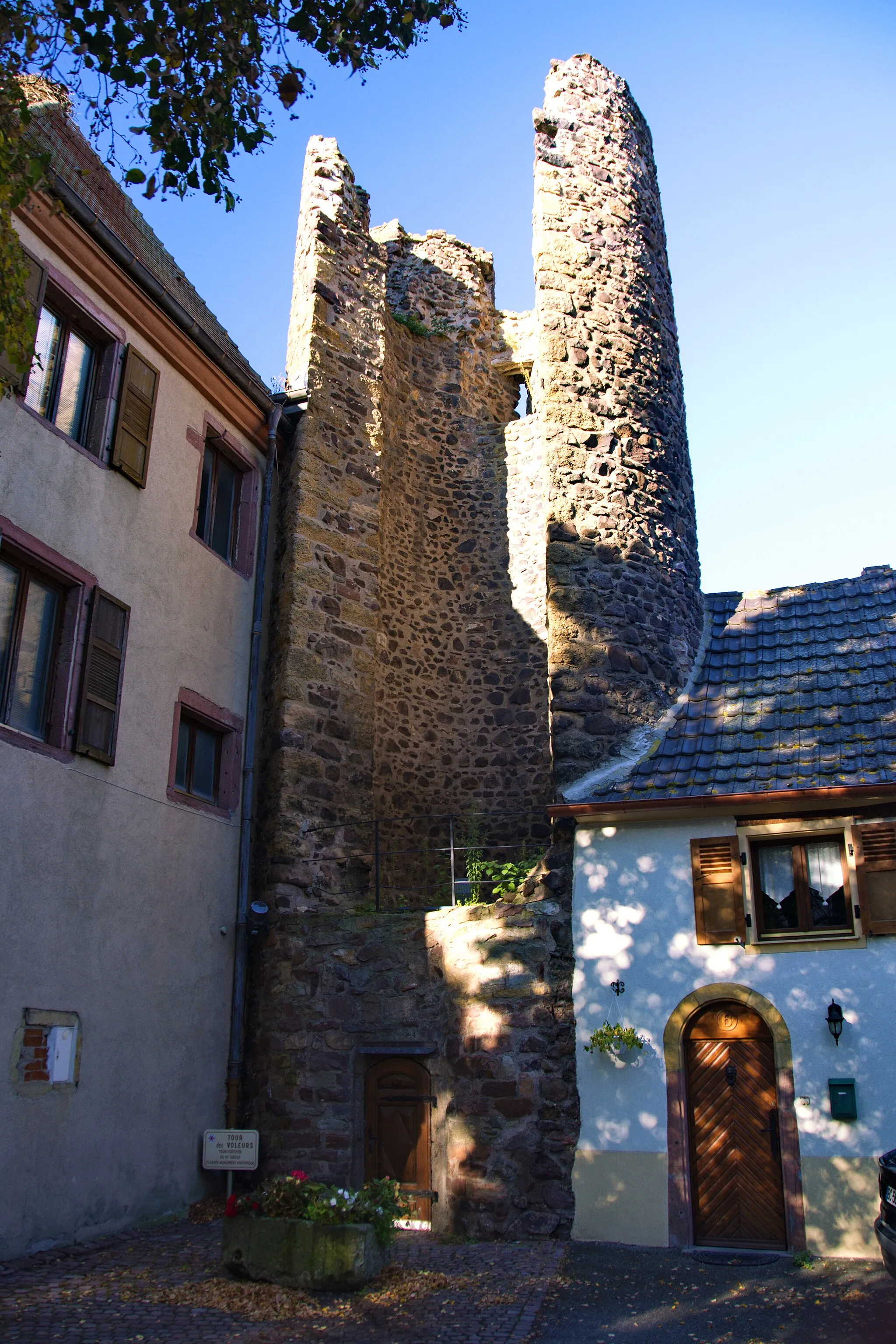
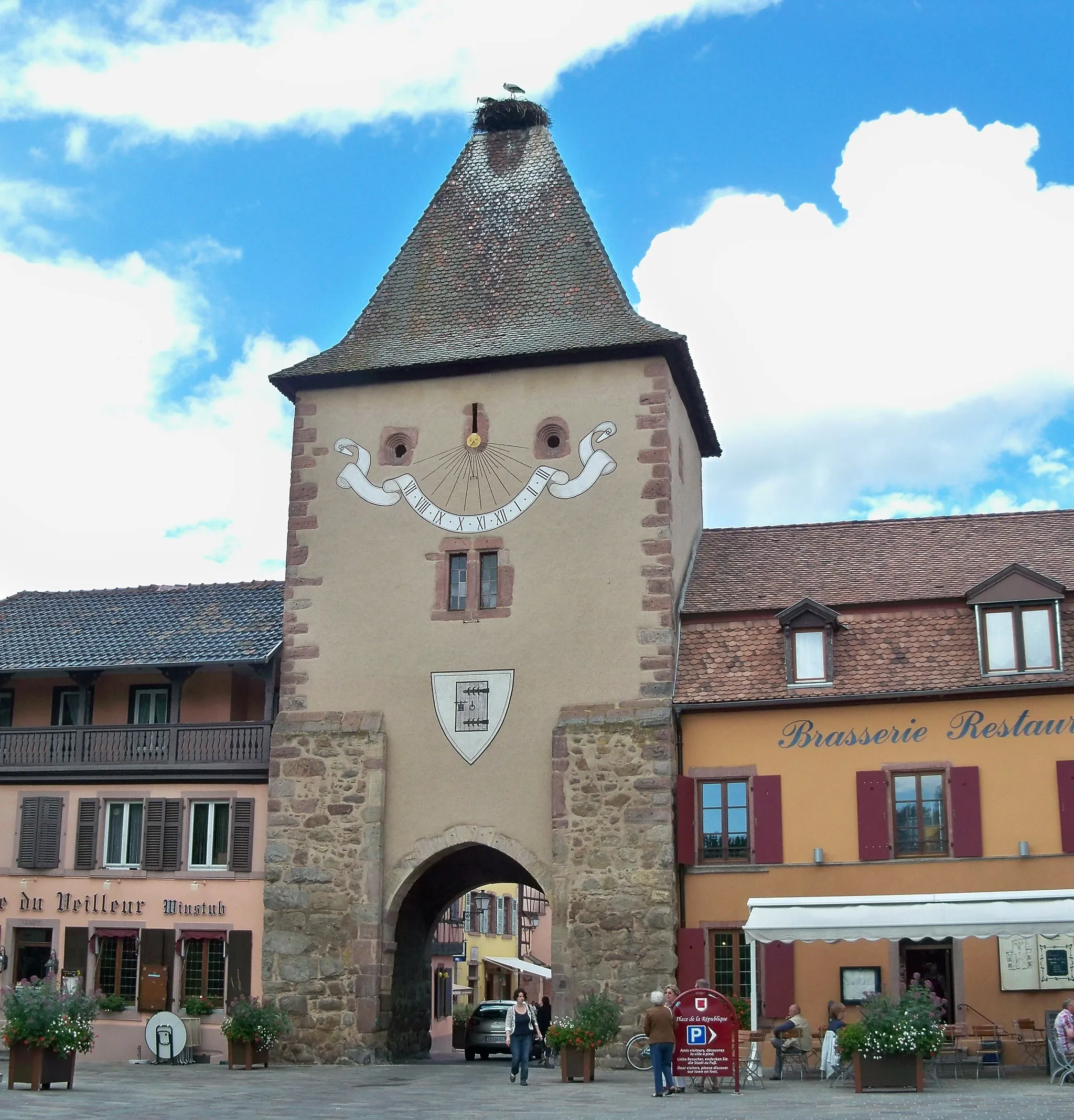
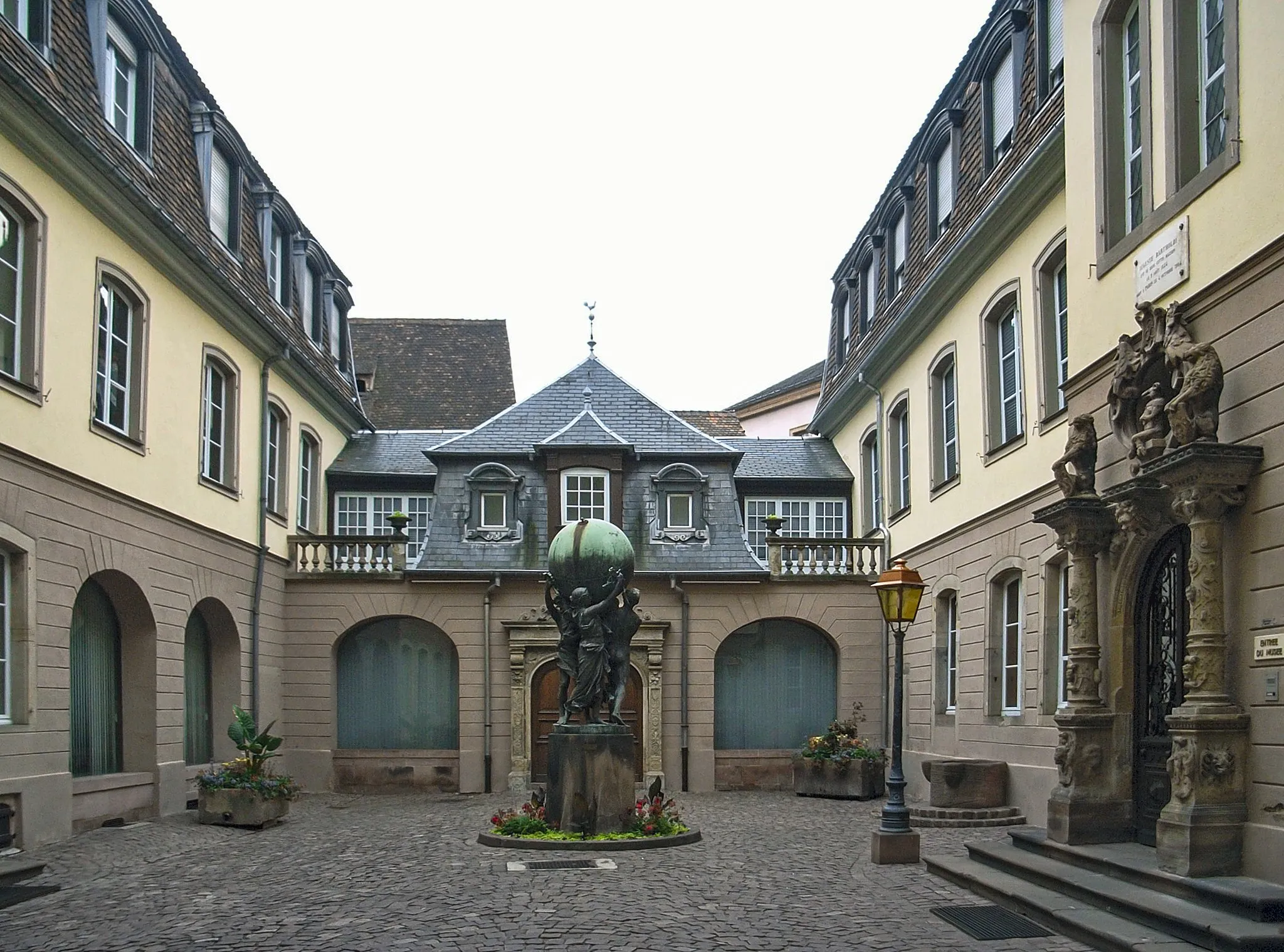
Start: Eguisheim Village centerEguisheim: Cycling through vineyards, exploring history, and conquering Ballon d'Alsace in Eguisheim, Alsace.
Eguisheim, located in the Alsace region of France, is a cyclist's dream. The locality offers a network of well-paved roads that wind through stunning vineyards and charming villages. Cyclists can immerse themselves in the rich history and architecture of Eguisheim, taking in the beauty of the area as they ride. The famous Ballon d'Alsace climb is nearby, providing an exhilarating challenge for experienced riders. Eguisheim is a must-visit destination for cyclists seeking a combination of scenic routes, cultural exploration, and memorable climbs.13 km
13 km
Stumpfenkopf555 mPeakStumpfenkopf lookout provides panoramic views of the Vosges mountains.
16 km
16 km
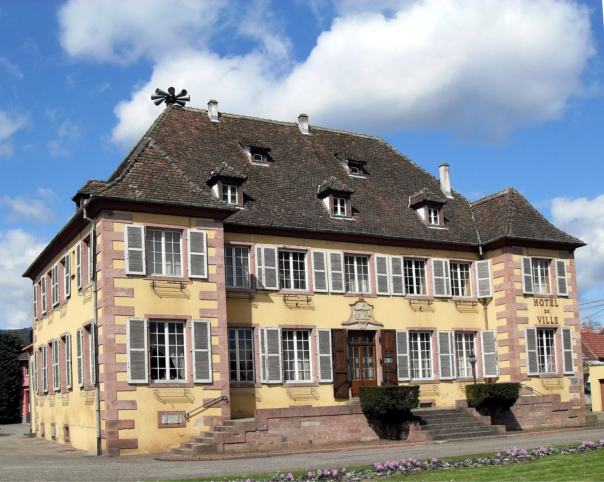
GunsbachVillageExplore the birthplace of Albert Schweitzer in Gunsbach.
33 km
33 km
Col de la Schlucht1139 mMountain PassConquer the steep Col de la Schlucht, a legendary pass in the Vosges.
36 km
36 km
Cascade CharlemagneWaterfallAdmire the stunning Cascade Charlemagne waterfall on your way.
52 km
52 km
Col du Reposoir750 mMountain PassChallenge yourself with the ascent of Col du Reposoir.
56 km
56 km
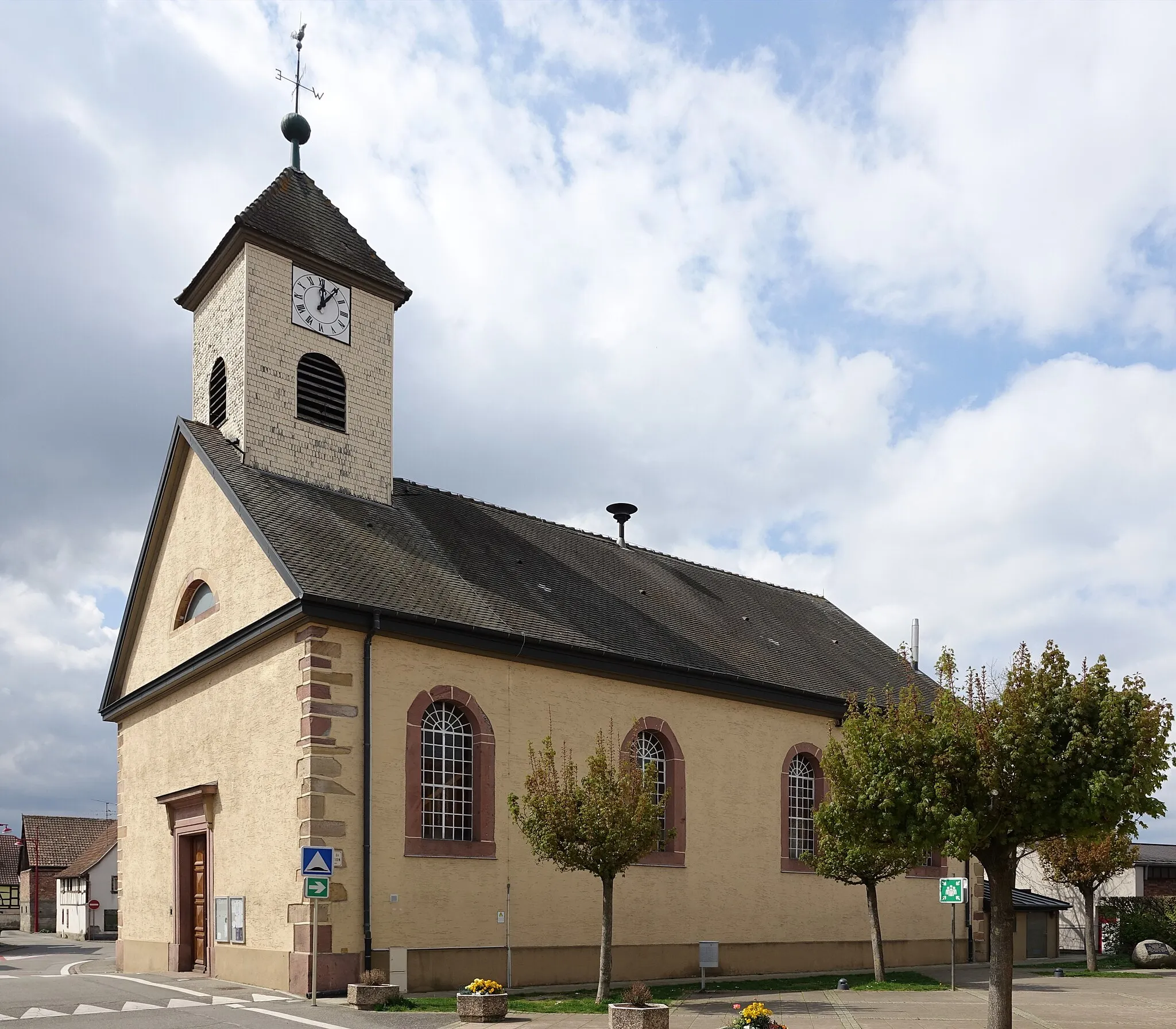
Ban-sur-Meurthe-ClefcyVillageCycle through the charming village of Ban-sur-Meurthe-Clefcy.
71 km
71 km
Table d'orientationViewpointTake a break at Table d'orientation and enjoy the scenic views.
97 km
97 km
Col du Brand324 mMountain PassConquer the challenging Col du Brand and enjoy the rewarding descent.
98 km
98 km
TurckheimVillageCycle through the beautiful vineyards near Turckheim.
105 km
105 km
Finish: Eguisheim Village centerEguisheim: Cycling through vineyards, exploring history, and conquering Ballon d'Alsace in Eguisheim, Alsace.
Cycling routes from Eguisheim:
Cycling routes nearby: