Cycling through the Charm of Alsace
Cycling routes from Erstein
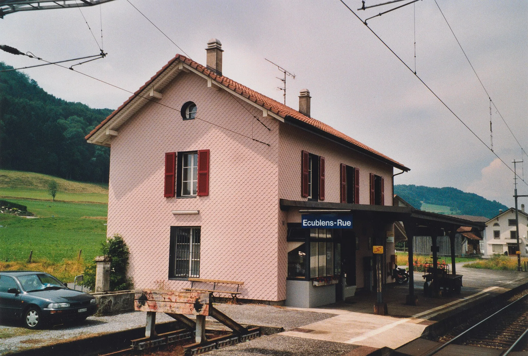
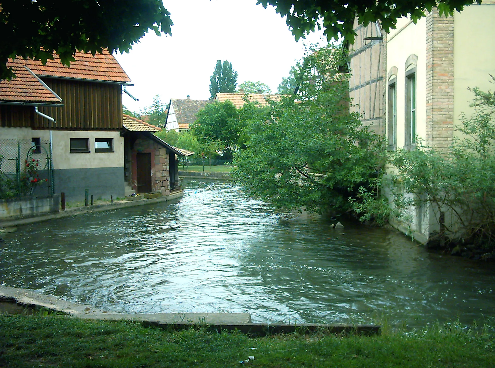
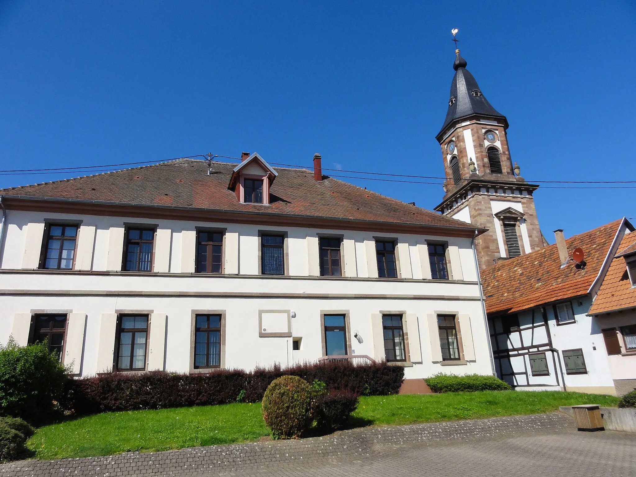
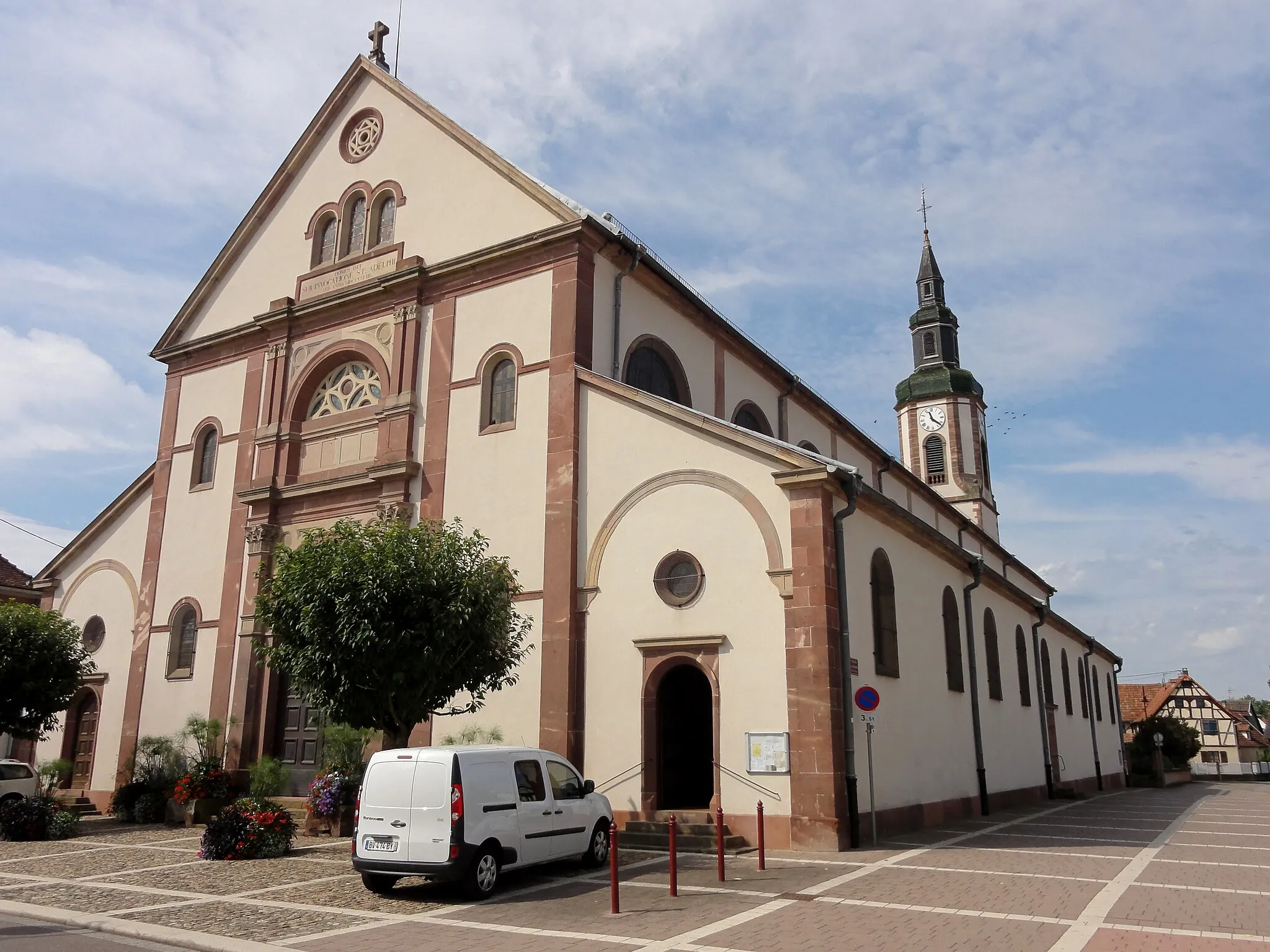
Erstein, situated in the Alsace region of France, provides a pleasant cycling experience for both road and gravel cyclists. The locality features a mix of flat and gently rolling terrains, making it suitable for cyclists of all abilities. Cyclists can enjoy exploring the charming Alsatian villages and riding along the calm country roads. One well-liked cycling spot nearby is the Wine Route, where cyclists can combine their ride with wine tasting. Erstein is a cyclist-friendly area with beautiful scenery and cultural attractions.
Discover the beauty of Plobsheim to Ortenberg
Embark on a scenic cycling adventure from Plobsheim to Ortenberg. This road cycling route covers a distance of 90 km with an ascent of 354 meters. Pedal through stunning landscapes, pass by charming villages, and enjoy breathtaking views along the way. Suitable for intermediate riders, this route offers a good balance between flat sections and gentle climbs.
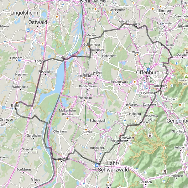
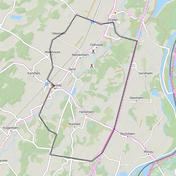
Conquer challenging gravel roads in Alsace
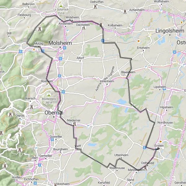
This 79-kilometer gravel adventure near Erstein is not for the faint-hearted. With an ascent of 1061 meters, it's suitable for experienced cyclists seeking a thrilling challenge. Kertzfeld offers the first highlight, followed by the picturesque village of Gertwiller. Don't miss the majestic Château de Dreistein occidental near Dorlisheim. As you ride along Breitsteige, be prepared for steep slopes and breathtaking views. Krautergersheim and Nordhouse are rewarding stops before returning to Erstein.
Experience a diverse landscape from Geispolsheim to Ecluse
This diverse cycling route takes you through a mix of urban and rural landscapes as you journey from Geispolsheim to Ecluse. With a distance of 148 km and an ascent of 182 meters, this road cycling route is suitable for intermediate riders. You'll pass through charming villages, cross enchanting forests, and pedal along the banks of picturesque rivers.
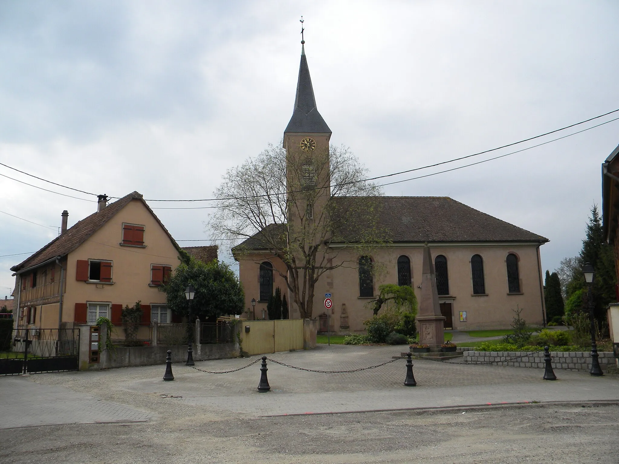
Explore the scenic countryside around Erstein
This 38-kilometer road route offers a pleasant loop around Erstein with minimal ascent. It's perfect for a leisurely ride or a quick workout. Enjoy the charming streets of Erstein before cycling towards Witternheim, a village with beautiful Alsatian architecture. Bolsenheim is another highlight of this route, with its traditional houses and lovely gardens. Experience the calmness of the rural landscapes before returning to Erstein.
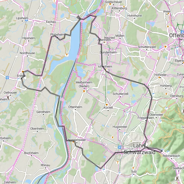
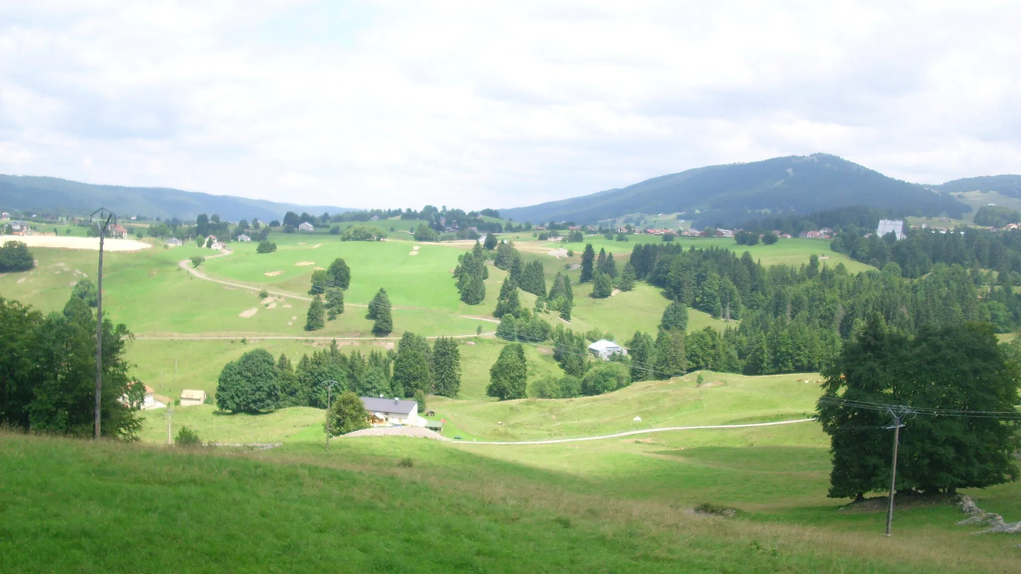
Experience the stunning landscapes and charming towns of the Black Forest on this road cycling route
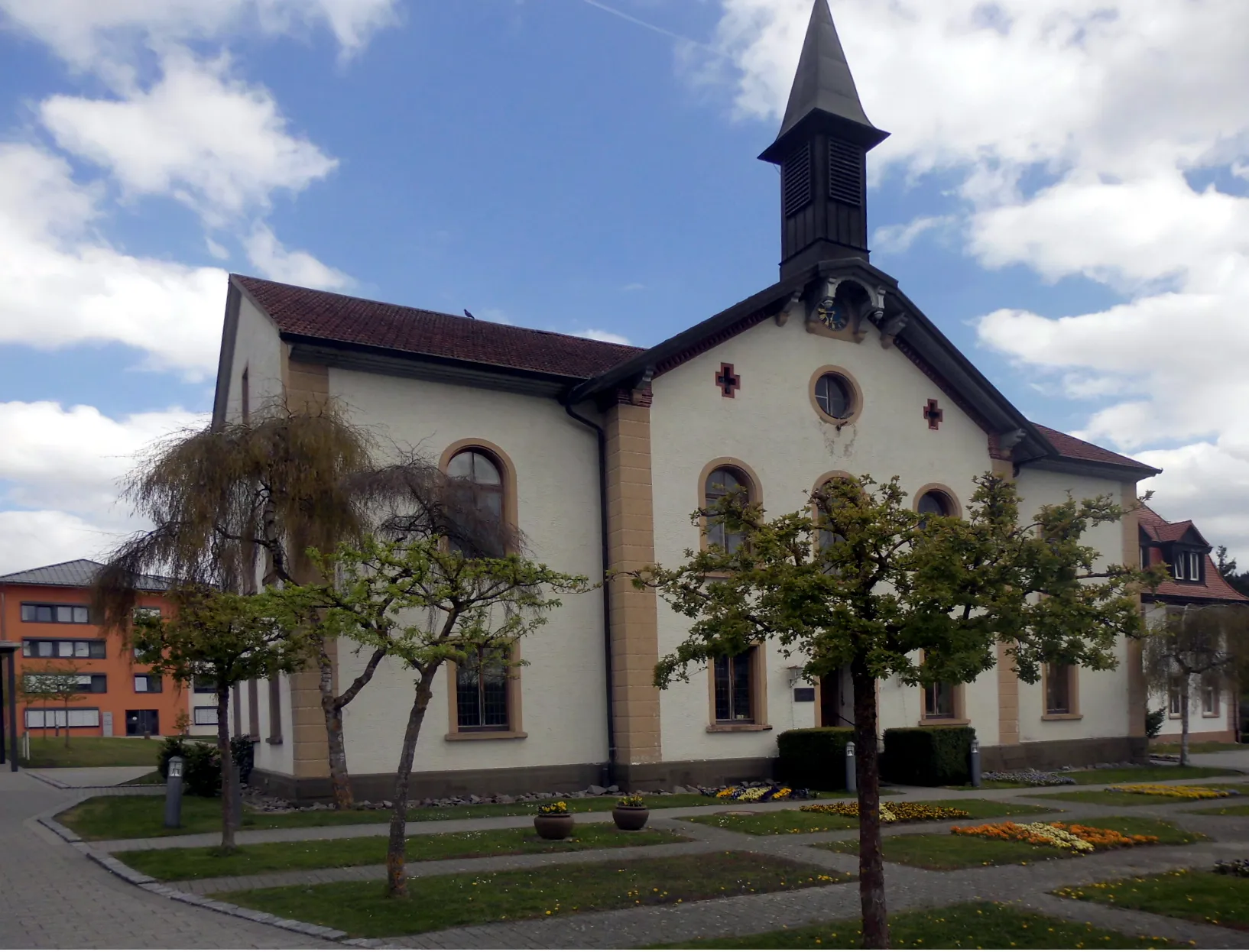
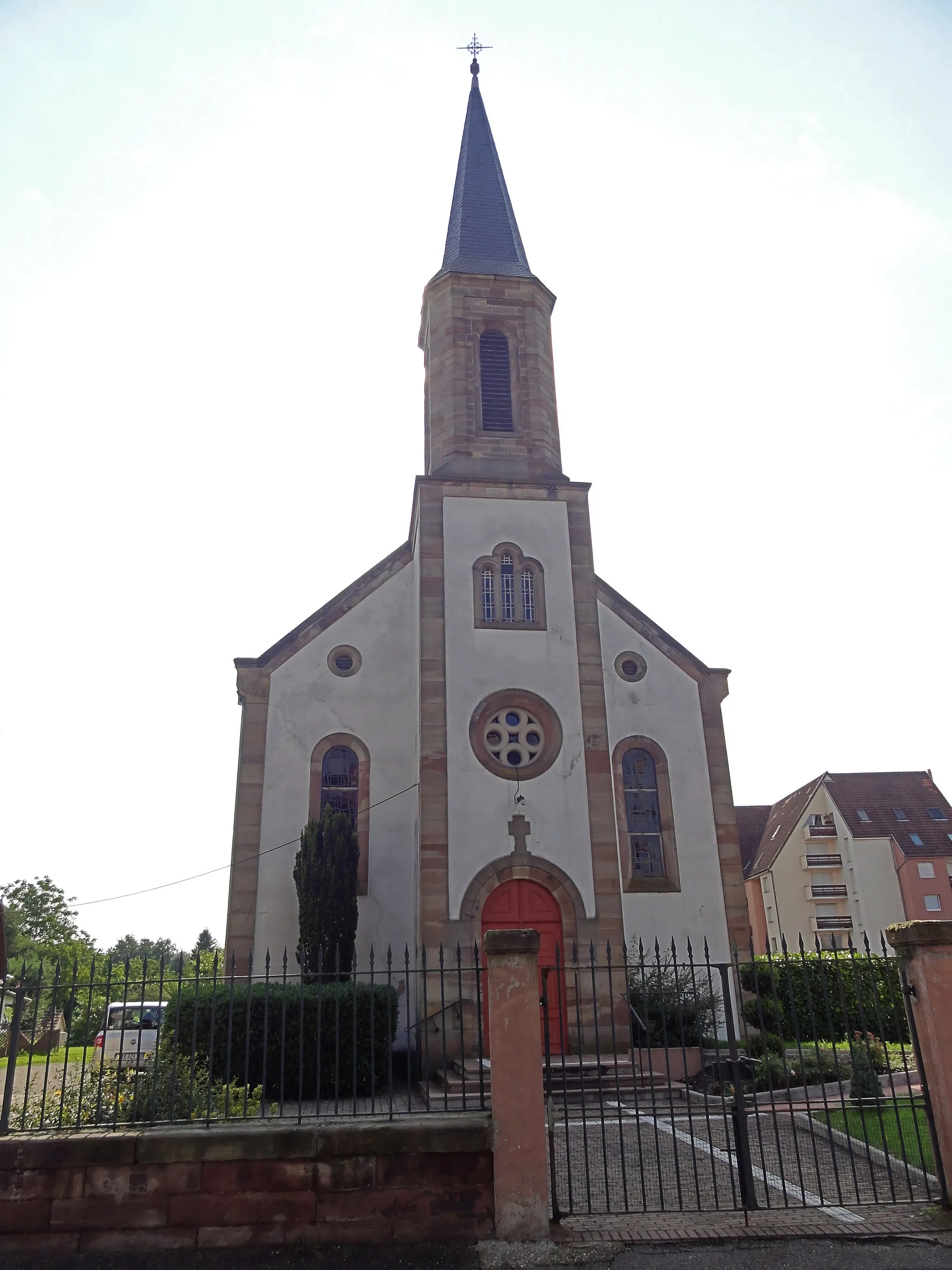
This road cycling route takes you through the enchanting landscapes of the Black Forest in Alsace, France. With a total distance of 74 kilometers and an elevation gain of 252 meters, this route offers a moderate challenge suitable for intermediate cyclists. Highlights along the route include Plobsheim, a small village known for its beautiful lake and nature reserve. Ichenheim is another highlight, offering a chance to explore its charming streets and historic buildings. Lahr/Schwarzwald is a vibrant town with a rich history, providing cultural attractions and a chance to immerse yourself in the region's heritage. Krähennest offers panoramic views of the surrounding countryside, making it a perfect spot for a memorable photo. Erstein, the starting and ending point of the route, is known for its beautiful Renaissance castle. Take a moment to rest and explore the town before or after your ride.
Cycle through picturesque landscapes and visit charming towns along the way
This road cycling tour takes you through the picturesque landscapes of Alsace, France. With a distance of 98 kilometers and an elevation gain of 441 meters, this route offers a moderate challenge suitable for intermediate cyclists. Highlights along the route include Plobsheim, a small village known for its beautiful lake and nature reserve. Continuing on, you'll pass through Schutterwald and Berghaupten, both offering scenic spots for a well-deserved break. Biberach (Baden) is another highlight, featuring a picturesque town center and historic buildings. The route also includes a visit to Hohengeroldseck, where you can explore the medieval ruins of Hohengeroldseck Castle. Altvater and Lahr/Schwarzwald offer cultural attractions and historical sites, providing an opportunity to immerse yourself in the local heritage.
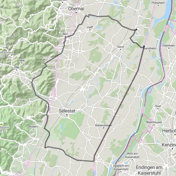
Explore the picturesque countryside from Erstein to Osthouse
This scenic cycling route takes you through the charming countryside of Alsace, France. Starting in Erstein, you'll pedal through quaint villages and rolling hills. The route covers a distance of 101 km with a total ascent of 355 meters. Perfect for road cycling enthusiasts, this route offers beautiful views and quiet country roads.

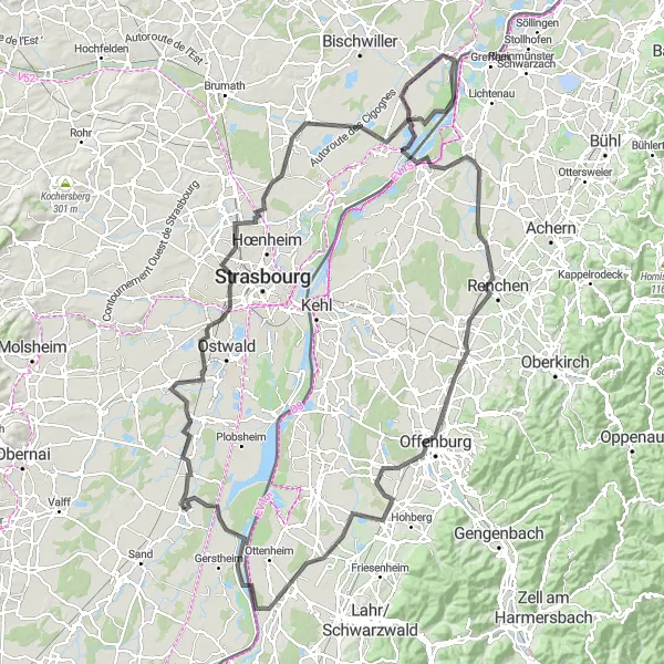
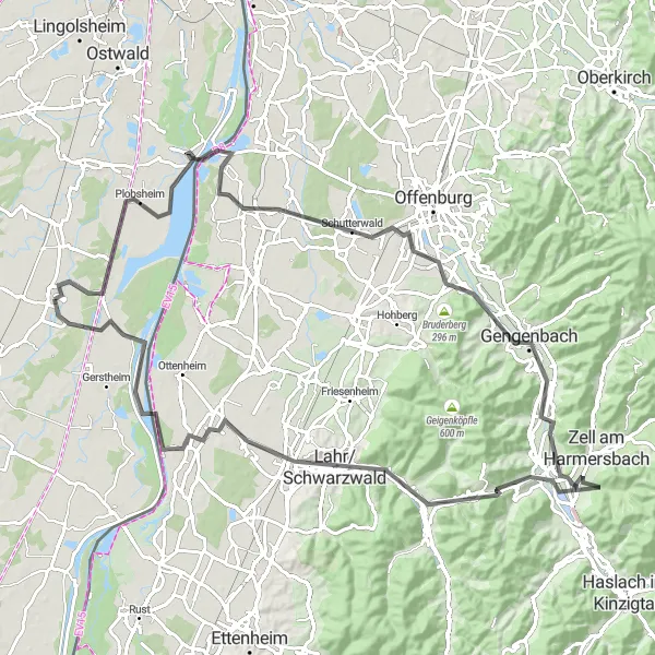
Ride through the picturesque Black Forest and visit charming towns along the way
This gravel ride takes you through the scenic Black Forest region in Alsace, France. The route showcases the natural beauty of the area while passing through small towns and villages. With a total distance of 93 kilometers and an elevation gain of 1129 meters, this route is suitable for experienced cyclists seeking a moderate challenge. Highlights along the route include Krafft, a quaint village known for its traditional architecture and historic charm. Other notable highlights include Offenburg, Brandeckkopf, Gengenbach, Steinfirst, Altvater, and Lahr/Schwarzwald. Each of these highlights offers its unique attractions, including historical sites, panoramic views, and cultural experiences.
Alsace Road Adventure
Embark on a scenic road adventure in Alsace
Covering a distance of 71 kilometers with a total ascent of 306 meters, this road route near Erstein offers a moderate challenge to cyclists. Enjoy the diverse landscapes of Alsace as you pass through Matzenheim, Bischoffsheim, and Mutzig. Horn is a great place to pause and capture some scenic photos. The route also takes you through Gloeckelsberg, known for its panoramic views. Don't miss the beauty of Blaesheim and Limersheim before reaching your destination.
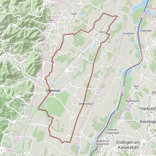
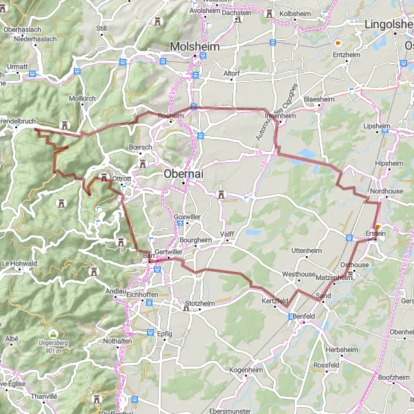
Discover the gravel roads of Alsace
This 92-kilometer gravel route near Erstein takes you through picturesque villages, vineyards, and rolling hills. With a total ascent of 125 meters, it offers a moderate challenge suitable for well-trained amateurs. Experience the beauty of Hessenheim, Grussenheim, and Scherwiller along the way. Don't miss the Banc de l'impératrice, an impressive viewpoint at the 61-kilometer mark. Stotzheim and Bolsenheim provide charming rest stops before returning to Erstein.
Cycling routes nearby:


Nearby regions: