Cycling through picturesque vineyards in Alsace.
Cycling routes from Huttenheim
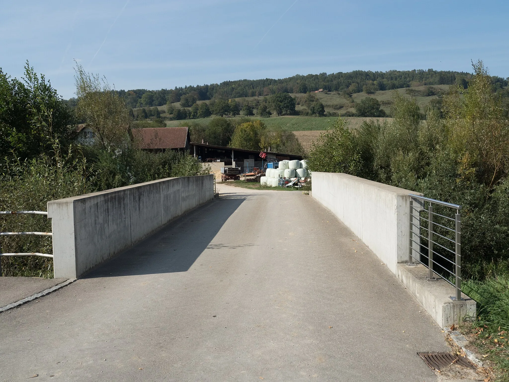
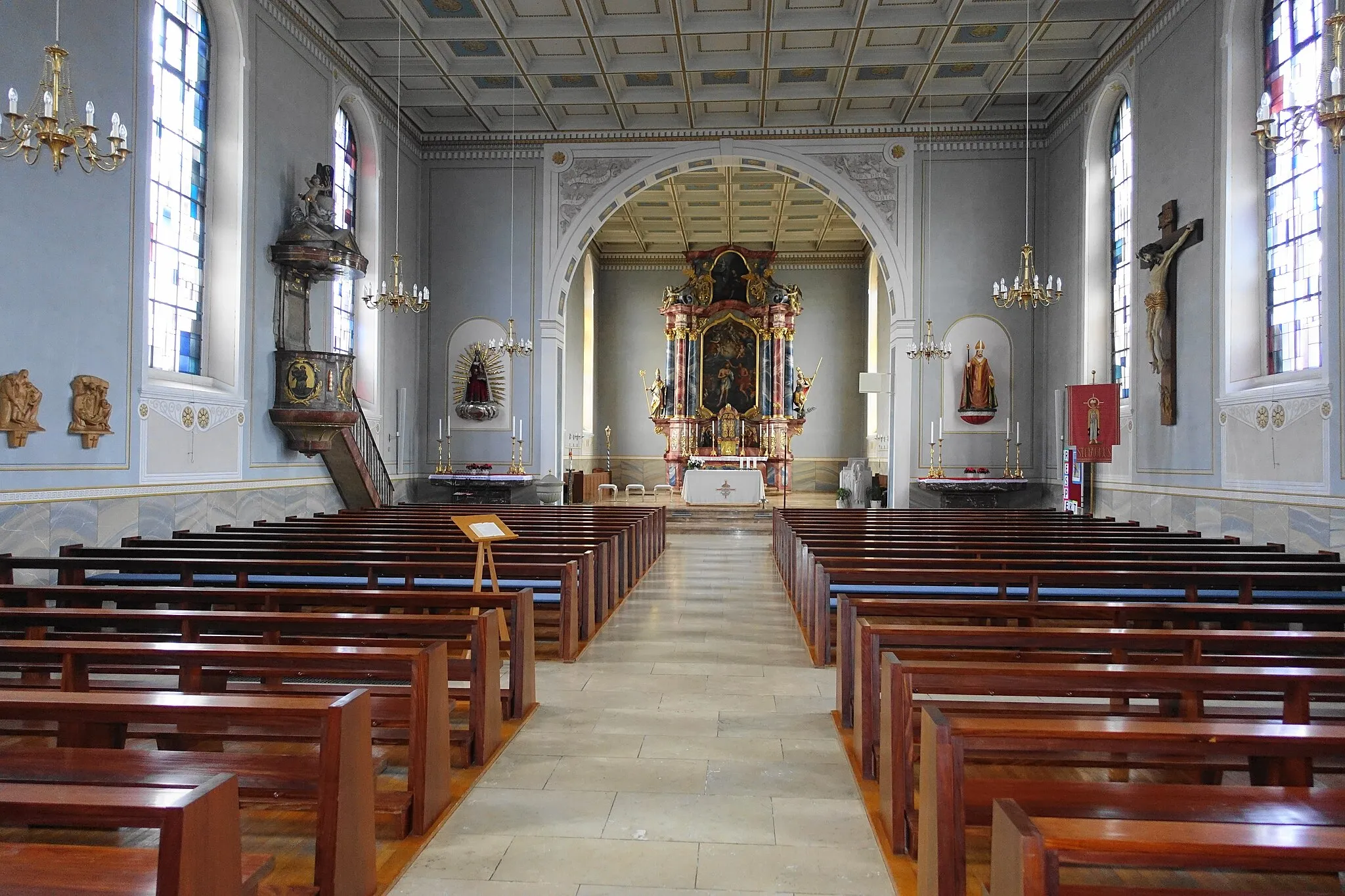
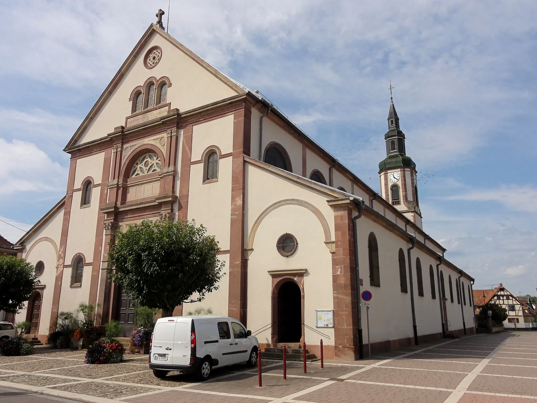
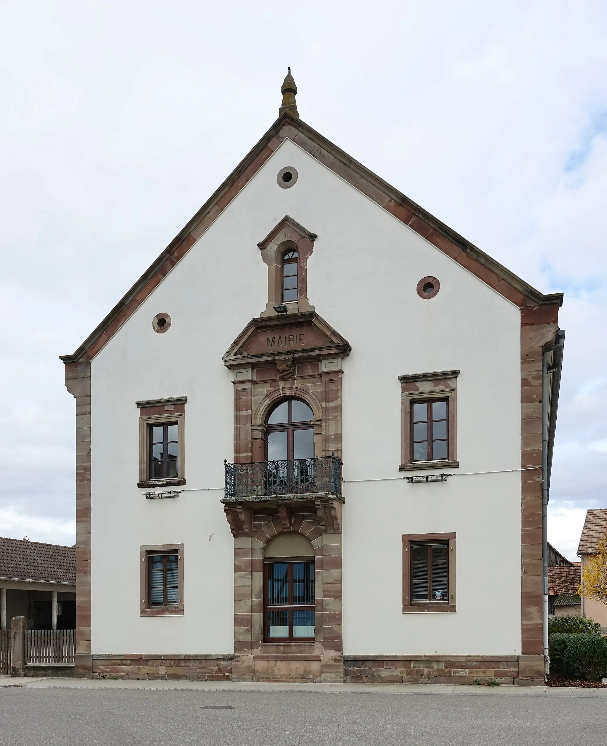
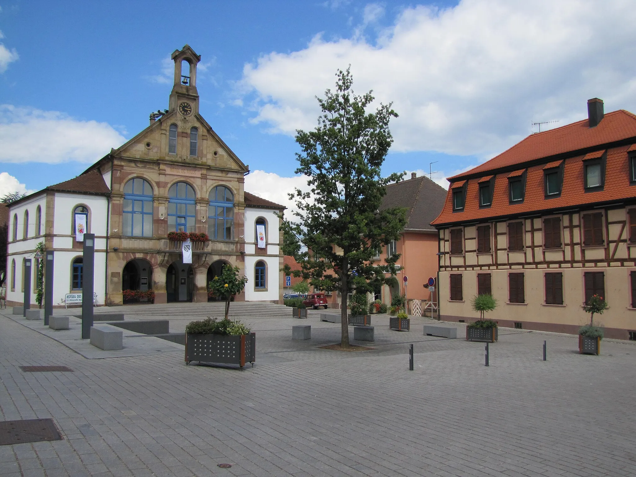
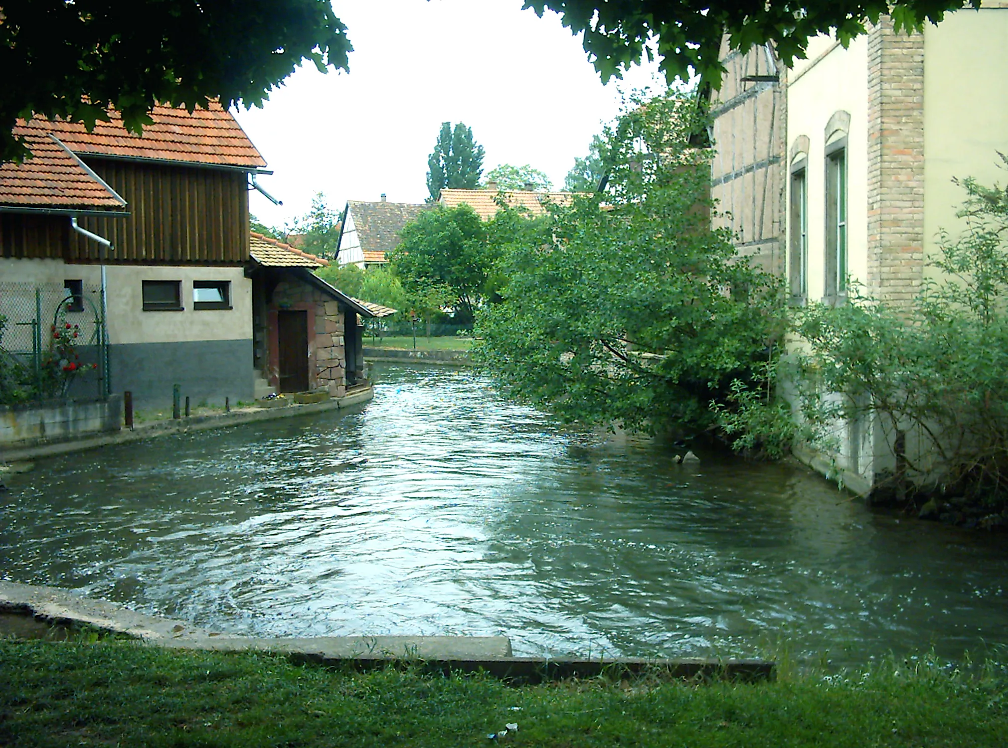
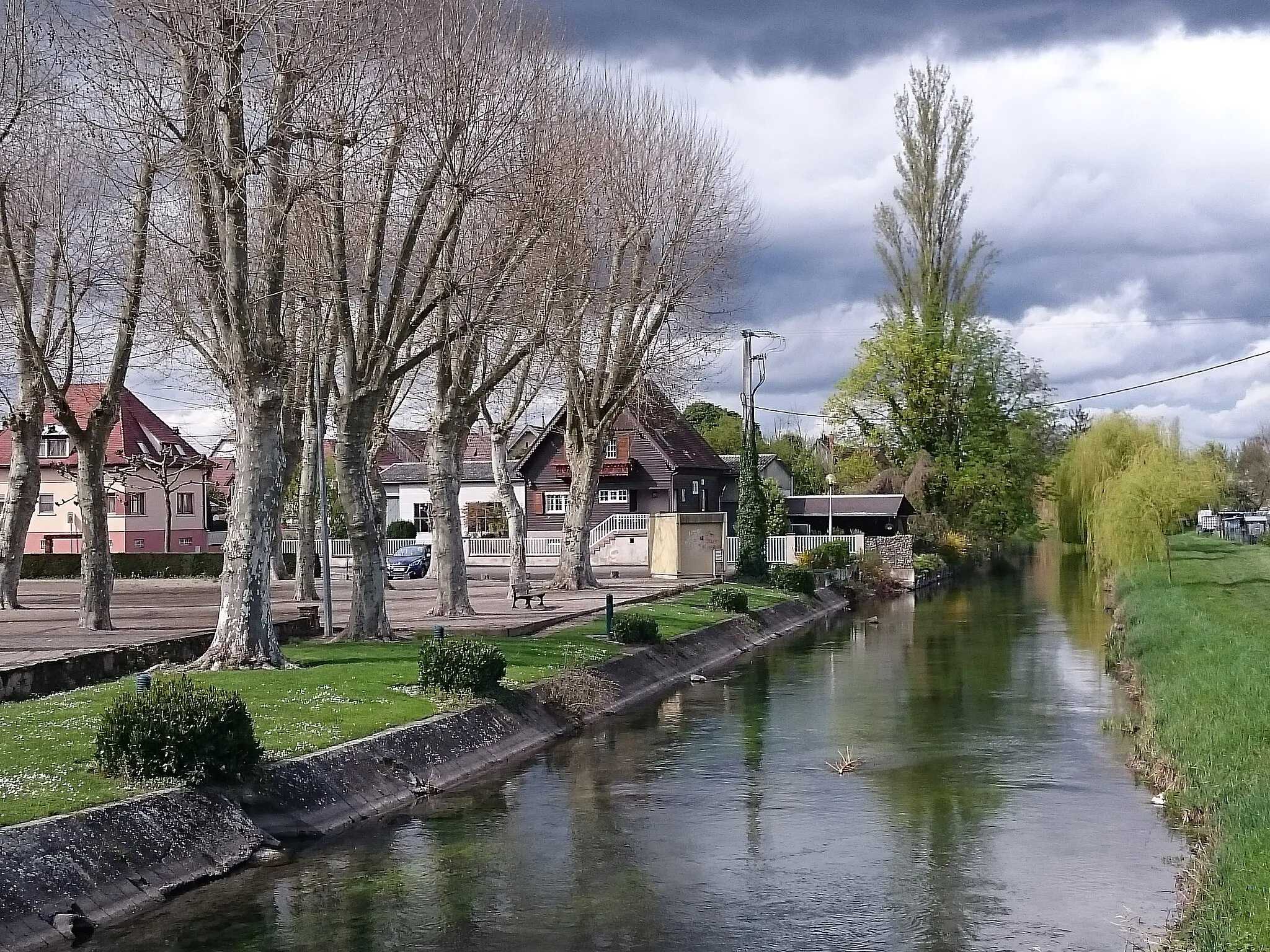
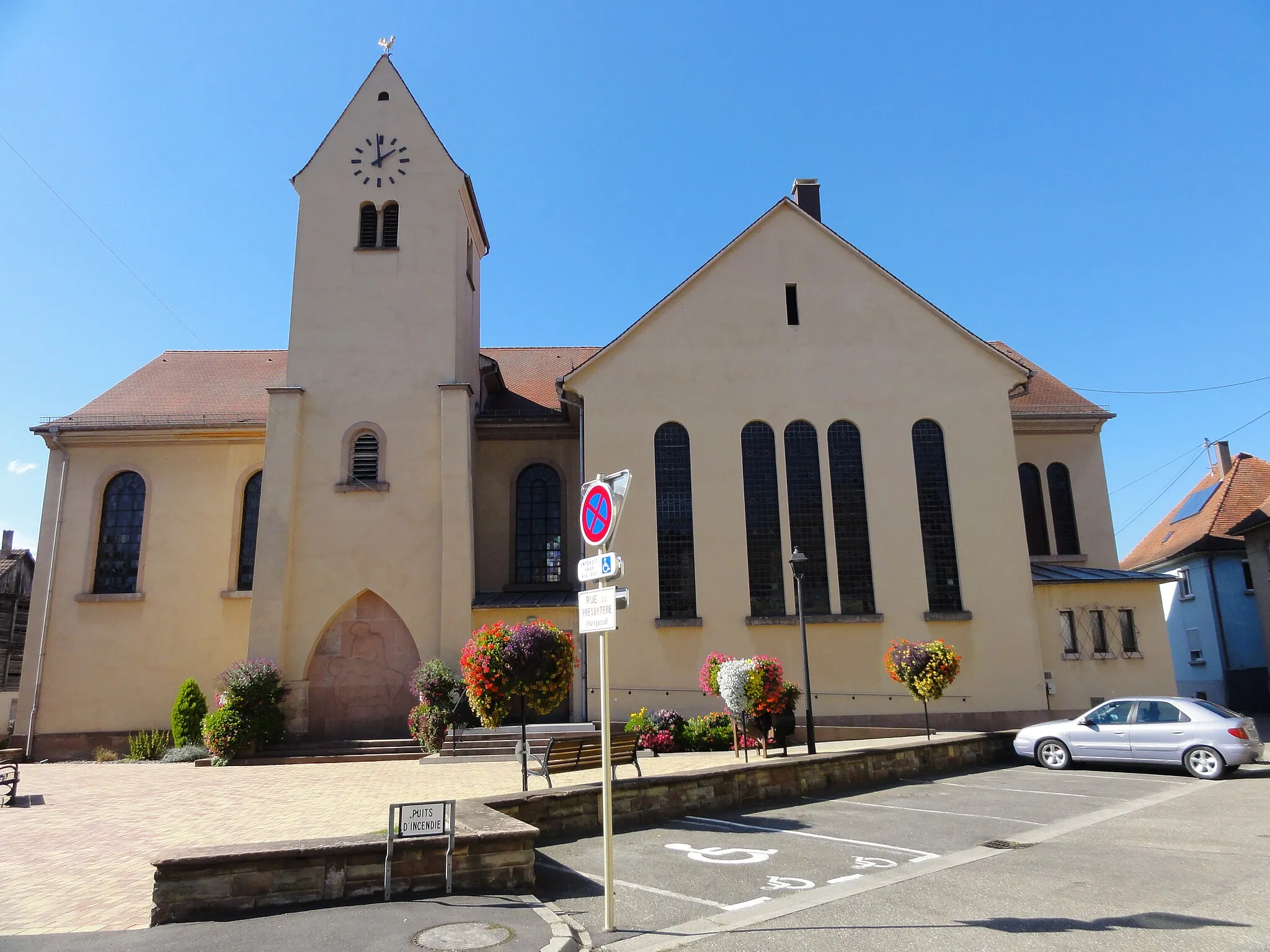
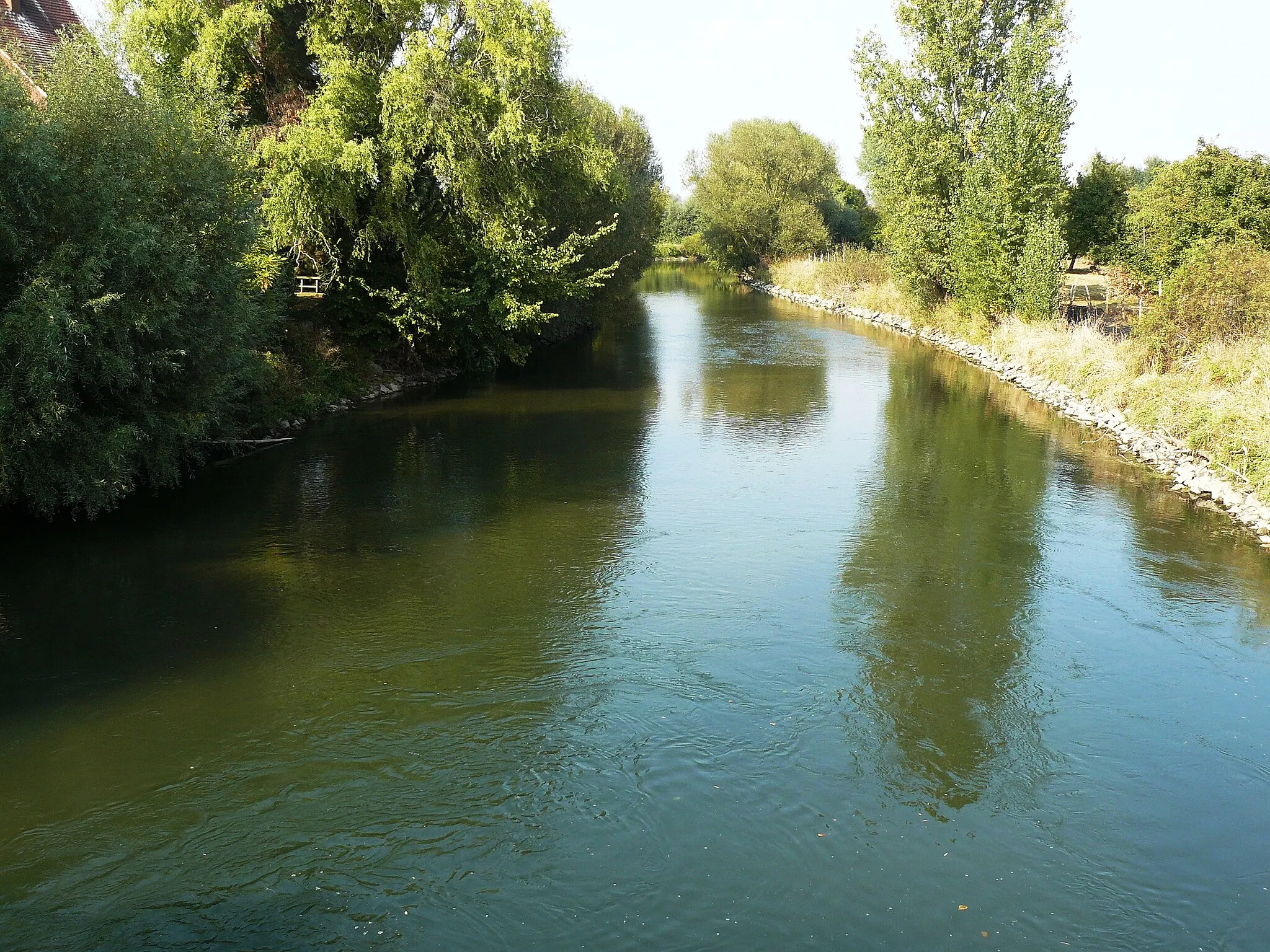
Huttenheim is a town located in the Alsace region of France. From a cyclist's perspective, Huttenheim offers a mix of road and off-road cycling opportunities. The town is surrounded by beautiful vineyards and scenic routes, providing a unique cycling experience. While there are no famous cycling-related spots or well-known climbs in the immediate vicinity, Huttenheim is a great destination for cyclists looking to explore the Alsace region and enjoy some wine tasting along the way.
Go off the beaten path and discover the hidden gems of Huttenheim on this 90 km gravel route.
The Alsace Gravel Adventure takes you through picturesque villages, rolling vineyards, and lush forests. This challenging route offers stunning views of the countryside, as well as historic highlights along the way.
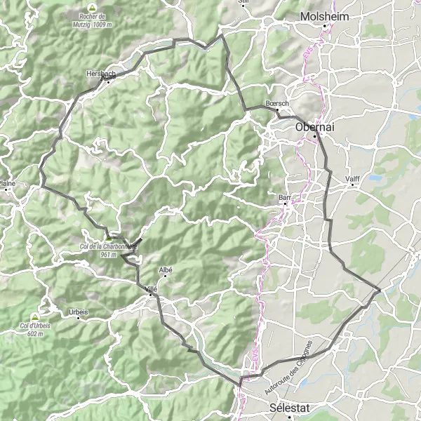
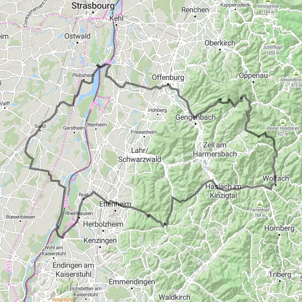
Experience breathtaking views on this challenging road cycling route from Huttenheim to Panorama
This road cycling route from Huttenheim to Panorama is a challenging ride that offers stunning views along the way. With a total ascent of 1202 meters over 101 kilometers, this route is perfect for experienced cyclists looking for a tough challenge. The highlights of this route include Banc de l'impératrice, a historical site with beautiful scenery, and Col du Kreuzweg, a famous climb that will test your climbing abilities. The difficulty level of this route is rated 4 out of 5, making it suitable for very well-trained amateurs. Overall, this route provides a thrilling adventure with incredible panoramic views.
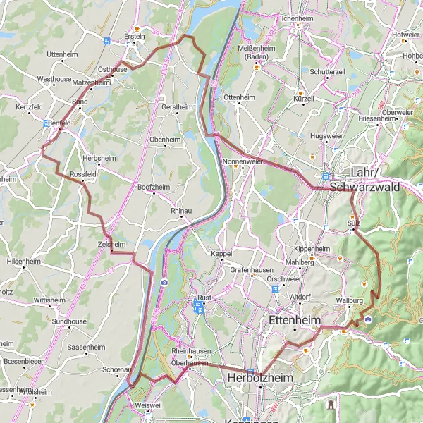
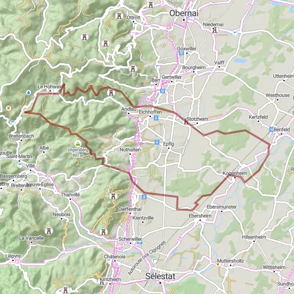
Embark on a challenging gravel route from Dambach-la-Ville to Stotzheim, conquering thrilling climbs and stunning landscapes along the way
This challenging gravel route from Dambach-la-Ville to Stotzheim is perfect for experienced gravel riders seeking a tough adventure. With a total ascent of 2057 meters over 101 kilometers, this route will test your endurance and climbing abilities. The highlights of this route include Château du Haut-Andlau, a historic castle with panoramic views, and Nid des Oiseaux, an exceptional viewpoint offering breathtaking scenery. The difficulty level of this route is rated 5 out of 5, making it suitable only for extremely experienced riders. Overall, this epic gravel route provides a thrilling adventure with remarkable landscapes and iconic landmarks.
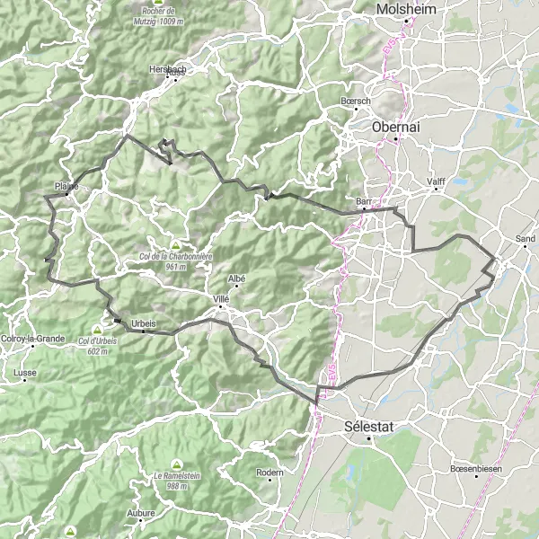
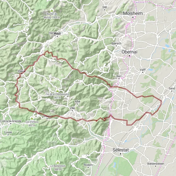
A challenging road ride with the uphill climb of Mount Climont
This 110 km road cycling route offers a challenging ascent of Mount Climont, a legendary climb in the region. The route begins near Huttenheim and takes you through picturesque villages and stunning countryside. With a total ascent of 1648 meters, this route is suitable for experienced cyclists looking for a demanding ride. Along the way, you will pass the Banc de l'impératrice, a historical landmark, and the Château de Spesbourg, a famous castle in the region.
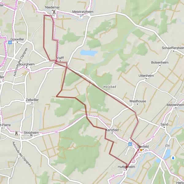
Embark on a short gravel adventure near Huttenheim
This 30 km gravel route is perfect for a short adventurous ride near Huttenheim. With a total ascent of 43 meters, the route is suitable for gravel riders of all levels. Explore the charming villages of Kertzfeld, Niedernai, and Westhouse, each offering its own unique charm and attractions. Immerse yourself in the peaceful countryside and enjoy the tranquility of the surroundings.
Tackle the hilly terrain of Alsace on this demanding 97 km gravel route.
The Alsace Hilltops Challenge is perfect for cyclists looking to test their limits amidst stunning natural scenery and medieval landmarks. Get ready for a challenging ride filled with rewarding climbs and exhilarating descents.
Huttenheim Gravel Adventure
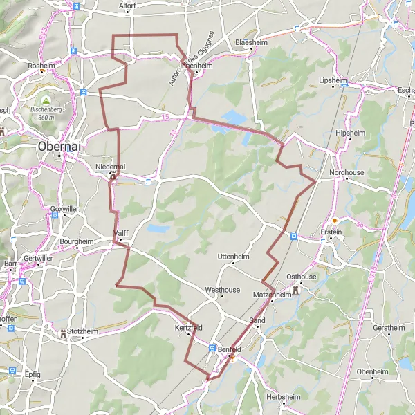
Explore the beauty of Alsace on this exciting gravel cycling adventure starting from Huttenheim
This gravel cycling route from Huttenheim offers a thrilling adventure through the scenic landscapes of Alsace. With a total ascent of 77 meters over 55 kilometers, this route is suitable for riders looking for a mix of off-road and on-road terrain. The highlights of this route include Matzenheim, a picturesque village surrounded by vineyards, and Huttenheim, the starting point of the route, with its charming rural atmosphere. The difficulty level of this route is rated 2 out of 5, making it suitable for riders of all levels. Overall, this gravel adventure provides a unique perspective of Alsace's beauty.
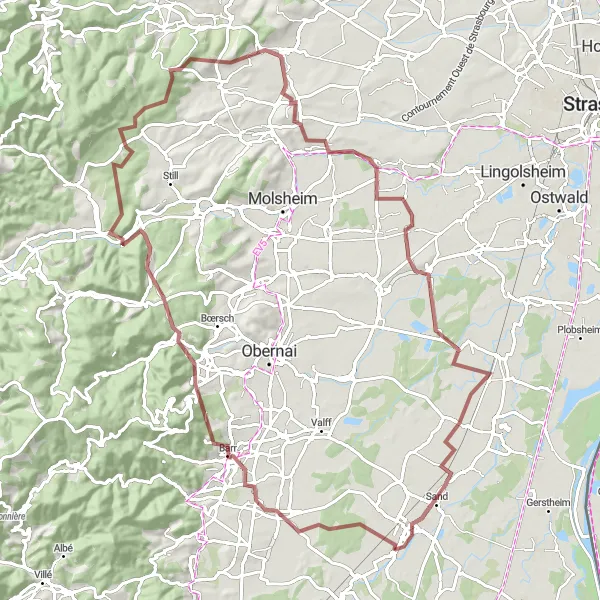
Road to Löcherbergwasen
An epic road cycling route leading to the majestic Löcherbergwasen peak
Embark on this epic 185 km road cycling route that takes you to the majestic Löcherbergwasen peak. With an elevation gain of 2150 meters, this challenging ride is perfect for seasoned cyclists seeking a monumental experience. Starting near Huttenheim, the route offers breathtaking views of the Alsace countryside and brings you through vibrant towns and villages. Visit prominent spots like Benfeld and Erstein along the way. The highlight of this route is the panoramic view from the Löcherbergwasen, a legendary climb that guarantees an unforgettable ride.
Gerstheim Gravel Ride
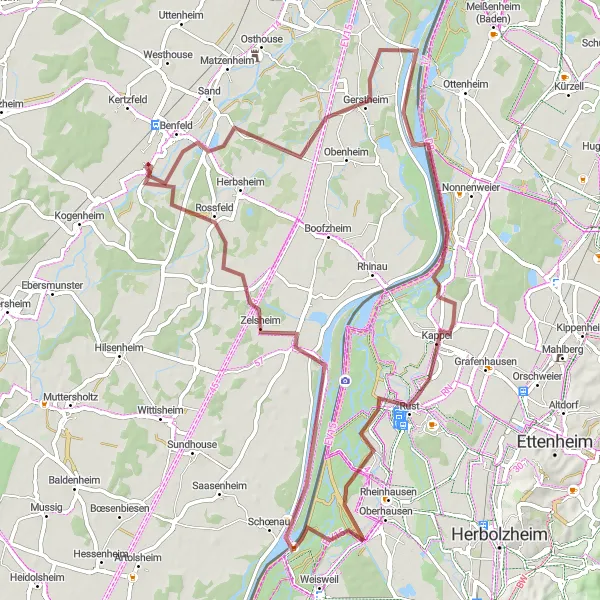
Enjoy a scenic gravel ride through the beautiful landscapes of Gerstheim
This gravel cycling route around Gerstheim offers a scenic adventure through the natural beauty of Alsace. With a total ascent of 164 meters over 71 kilometers, this route is suitable for riders of intermediate level. The highlights of this route include Kappel, a charming village with traditional Alsatian houses and idyllic surroundings, and Rossfeld, a serene spot with stunning views of the surrounding countryside and vineyards. The difficulty level of this route is rated 3 out of 5, making it suitable for riders seeking a moderately challenging ride. Overall, this gravel ride showcases the picturesque landscapes and traditional charm of the Gerstheim area.
Vineyard Expedition
Embark on a 62 km gravel adventure and immerse yourself in the scenic beauty of the Alsace vineyards.
The Vineyard Expedition takes you on a journey through the famous wine-growing region of Alsace. Enjoy the rolling hills, charming villages, and ancient castles that dot the landscape.
Cycling routes nearby:

Nearby regions: