Road to Mountain Climont
A road cycling route starting from Huttenheim
A challenging road ride with the uphill climb of Mount Climont
Map
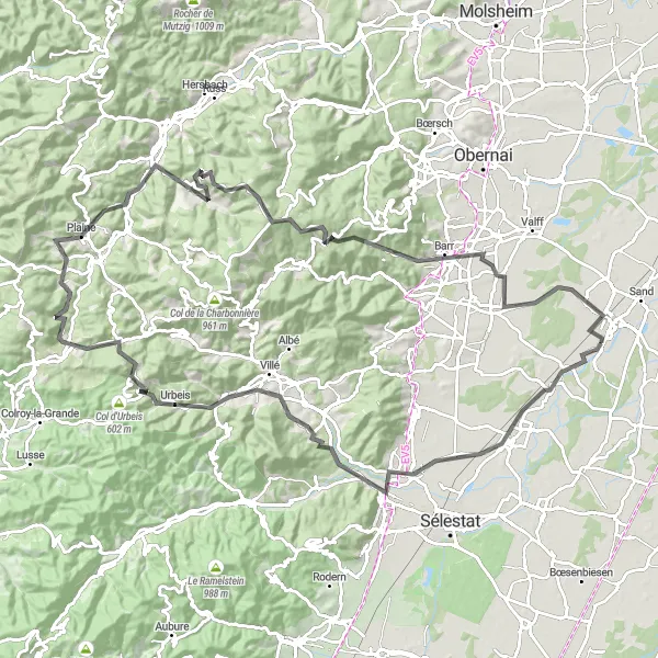
This 110 km road cycling route offers a challenging ascent of Mount Climont, a legendary climb in the region. The route begins near Huttenheim and takes you through picturesque villages and stunning countryside. With a total ascent of 1648 meters, this route is suitable for experienced cyclists looking for a demanding ride. Along the way, you will pass the Banc de l'impératrice, a historical landmark, and the Château de Spesbourg, a famous castle in the region.
road
110 km
1648 m
Tough
Route profile
Highlights on the route
0 km
0 km
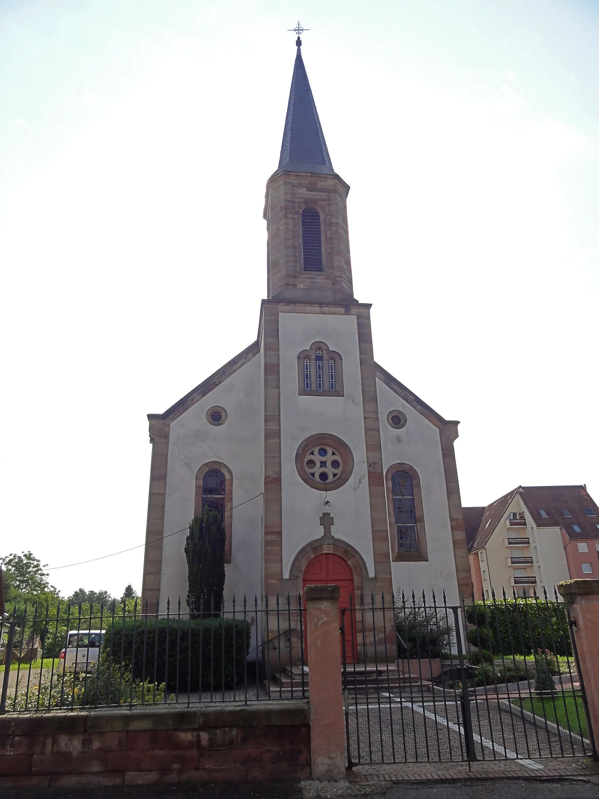
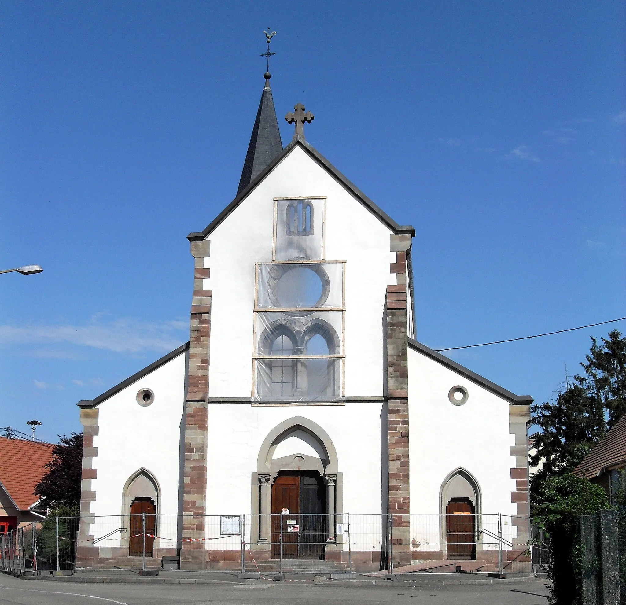
Start: Huttenheim Village centerHuttenheim: Cycling through picturesque vineyards in Alsace.
Huttenheim is a town located in the Alsace region of France. From a cyclist's perspective, Huttenheim offers a mix of road and off-road cycling opportunities. The town is surrounded by beautiful vineyards and scenic routes, providing a unique cycling experience. While there are no famous cycling-related spots or well-known climbs in the immediate vicinity, Huttenheim is a great destination for cyclists looking to explore the Alsace region and enjoy some wine tasting along the way.15 km
15 km
Banc de l'impératriceViewpointThe Banc de l'impératrice, a historical landmark worth a visit along the route.
16 km
16 km
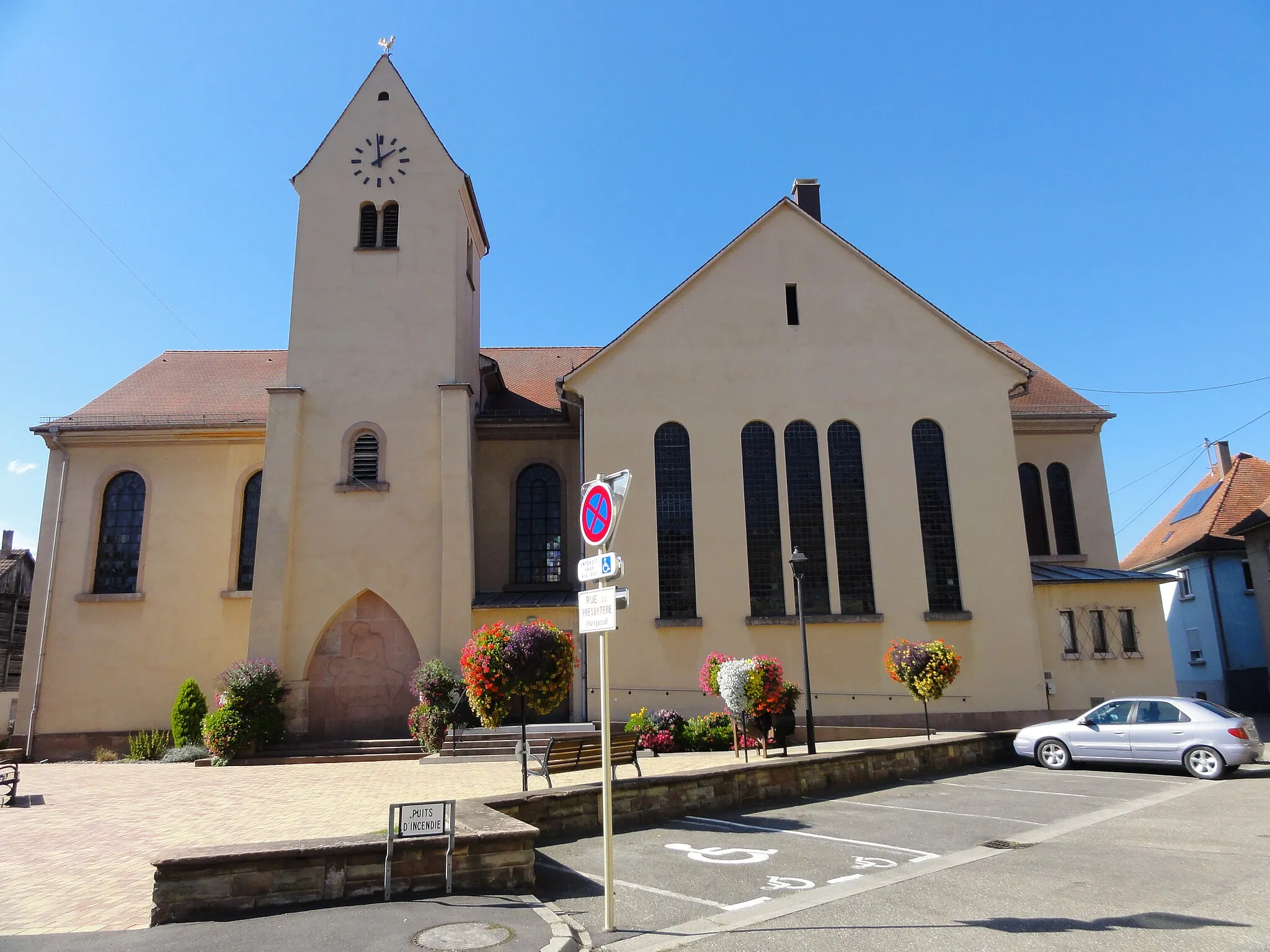
ScherwillerVillageScherwiller, a charming village known for its wine production.
31 km
31 km
BassembergVillageBassemberg, a picturesque village with stunning views of the surrounding countryside.
33 km
33 km
Le Guichat624 mPeakLe Guichat, a scenic spot that offers panoramic views of the region.
42 km
42 km
Mt. Climont965 mViewpointMount Climont, a challenging climb and a must-visit spot for avid cyclists.
47 km
47 km
Bourg-BrucheVillageBourg-Bruche, a beautiful village with traditional Alsatian architecture.
61 km
61 km
Nid des Oiseaux604 mPeakNid des Oiseaux, a peaceful spot where you can enjoy bird-watching.
64 km
64 km
RothauVillageRothau, a charming town nestled in the Vosges mountains.
74 km
74 km
Pfriemenkopf864 mPeakPfriemenkopf, a stunning viewpoint with panoramic views of the surrounding landscape.
89 km
89 km
Château de SpesbourgCastleChâteau de Spesbourg, a famous castle with a rich history.
106 km
106 km
KertzfeldVillageKertzfeld, a picturesque village known for its vineyards and wine production.
110 km
110 km
Finish: Huttenheim Village centerHuttenheim: Cycling through picturesque vineyards in Alsace.
Cycling routes from Huttenheim:
Huttenheim Gravel Adventure Gravel Explorations near Huttenheim Road to Mountain Climont Road to Kenzingen Huttenheim to Panorama Loop Gravel Adventure in the Rhine Valley Huttenheim to Sermersheim Adventure Challenging Gravel Route: Dambach-la-Ville to Stotzheim Gerstheim Gravel Ride Road to Löcherbergwasen Alsace Gravel Adventure Vineyard Expedition Alsace Hilltops Challenge
Cycling routes nearby: