Challenging Gravel Route: Dambach-la-Ville to Stotzheim
A gravel cycling route starting from Huttenheim
Embark on a challenging gravel route from Dambach-la-Ville to Stotzheim, conquering thrilling climbs and stunning landscapes along the way
Map
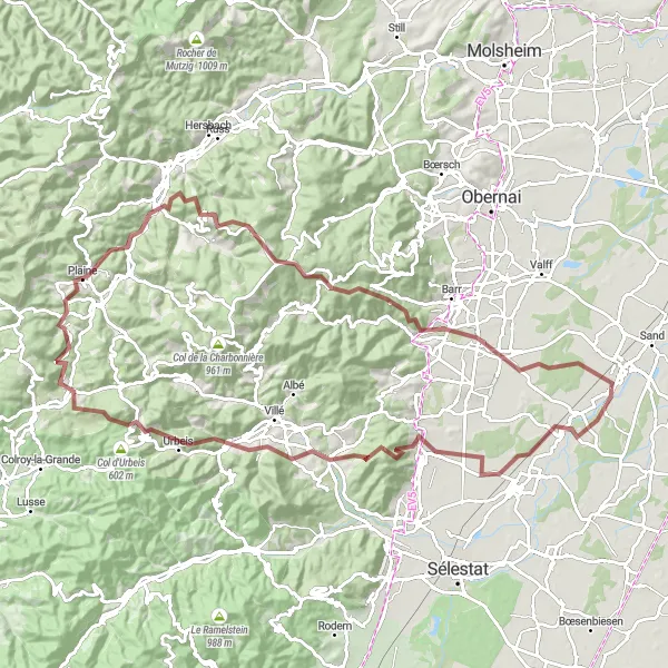
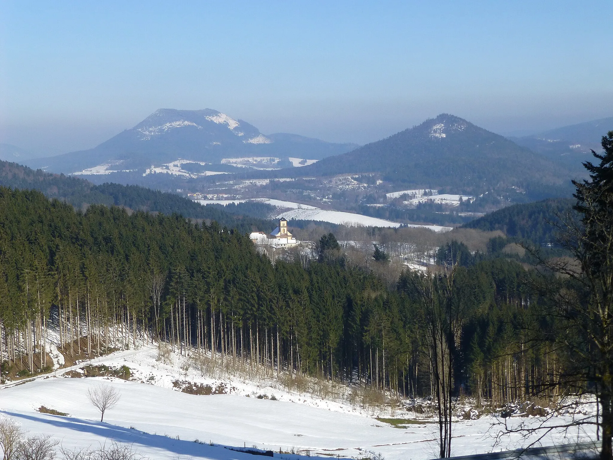
This challenging gravel route from Dambach-la-Ville to Stotzheim is perfect for experienced gravel riders seeking a tough adventure. With a total ascent of 2057 meters over 101 kilometers, this route will test your endurance and climbing abilities. The highlights of this route include Château du Haut-Andlau, a historic castle with panoramic views, and Nid des Oiseaux, an exceptional viewpoint offering breathtaking scenery. The difficulty level of this route is rated 5 out of 5, making it suitable only for extremely experienced riders. Overall, this epic gravel route provides a thrilling adventure with remarkable landscapes and iconic landmarks.
gravel
101 km
2057 m
Savage
Route profile
Highlights on the route
0 km
0 km
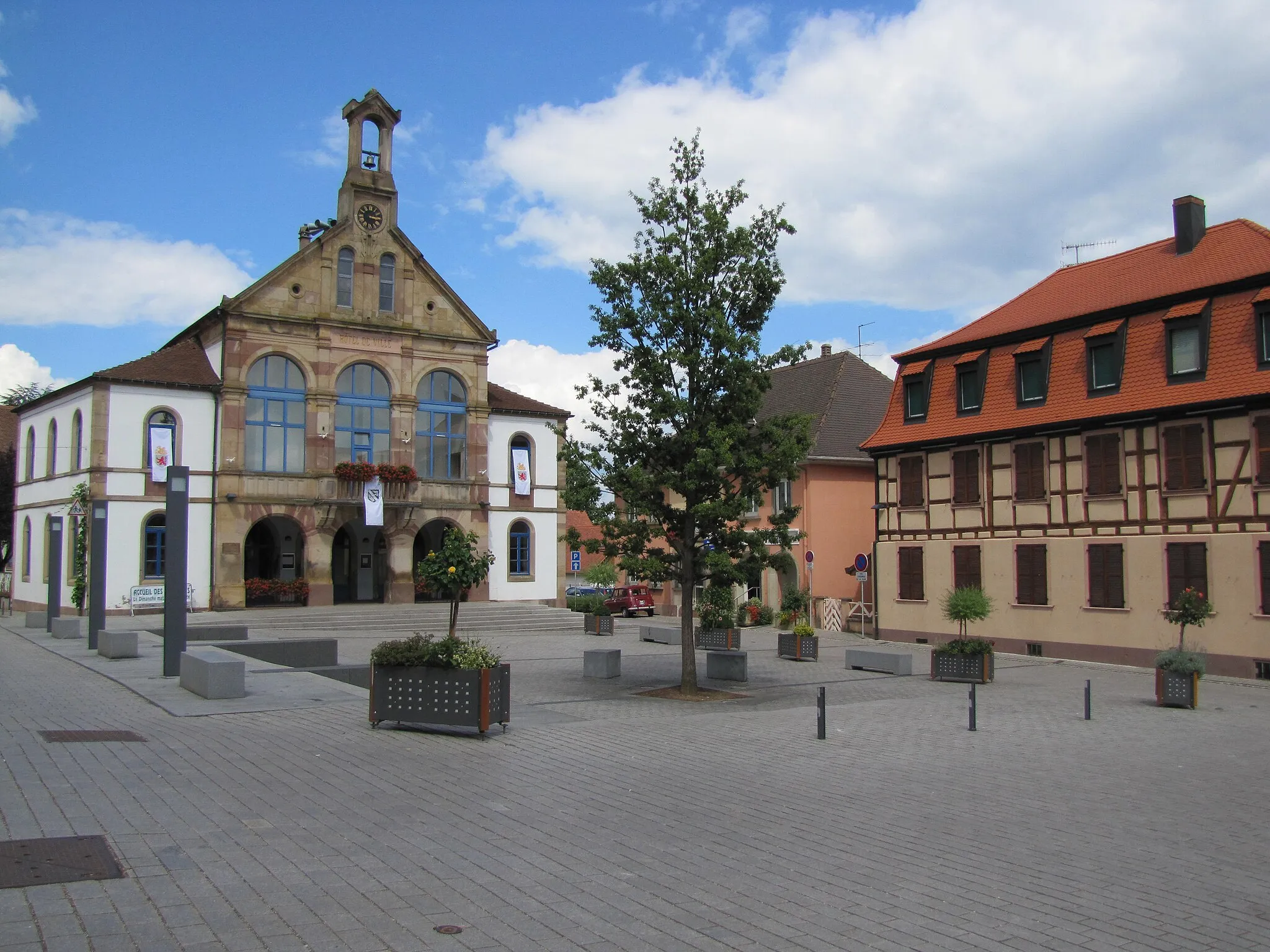
Start: Huttenheim Village centerHuttenheim: Cycling through picturesque vineyards in Alsace.
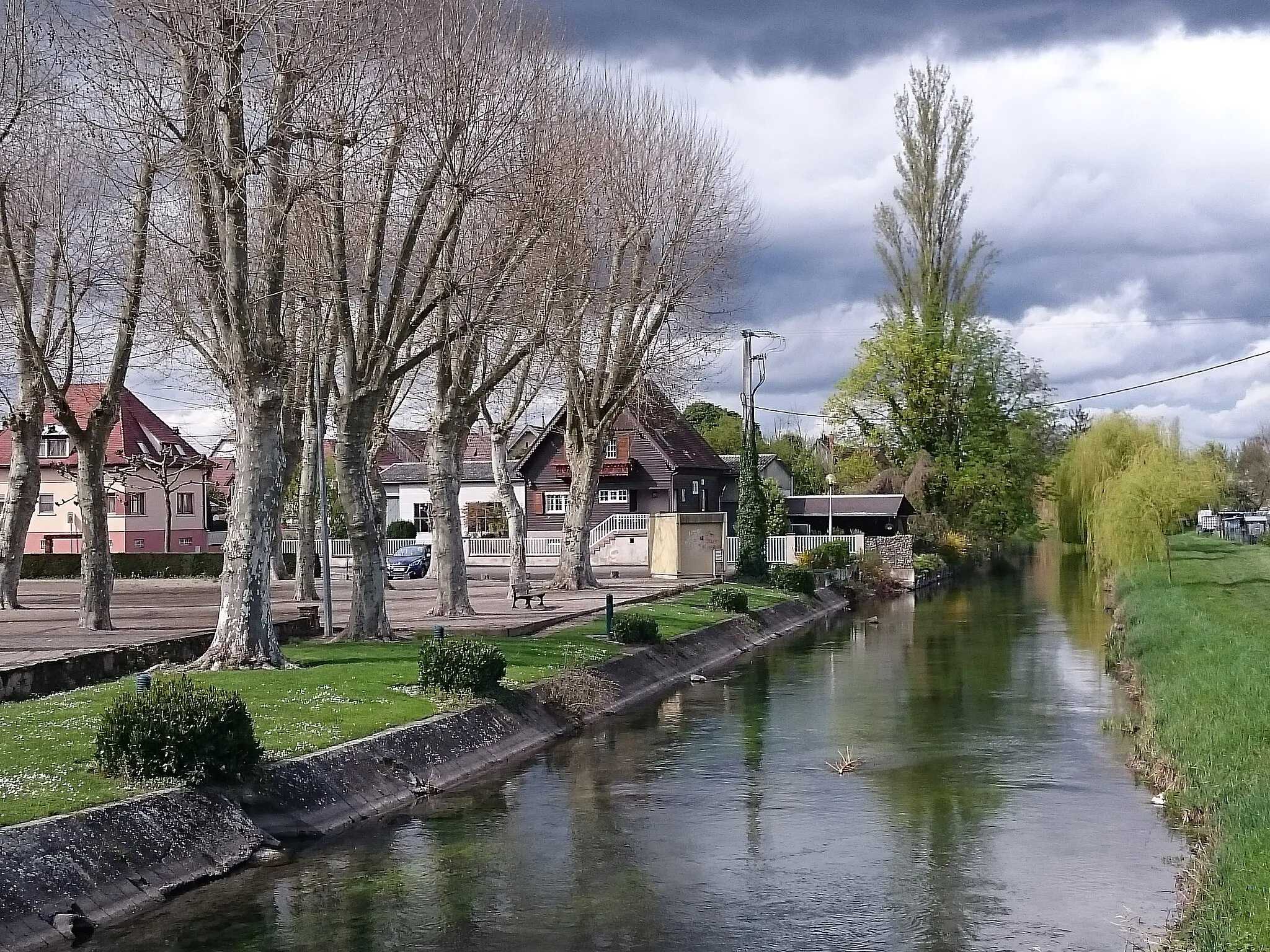
Huttenheim is a town located in the Alsace region of France. From a cyclist's perspective, Huttenheim offers a mix of road and off-road cycling opportunities. The town is surrounded by beautiful vineyards and scenic routes, providing a unique cycling experience. While there are no famous cycling-related spots or well-known climbs in the immediate vicinity, Huttenheim is a great destination for cyclists looking to explore the Alsace region and enjoy some wine tasting along the way.16 km
16 km
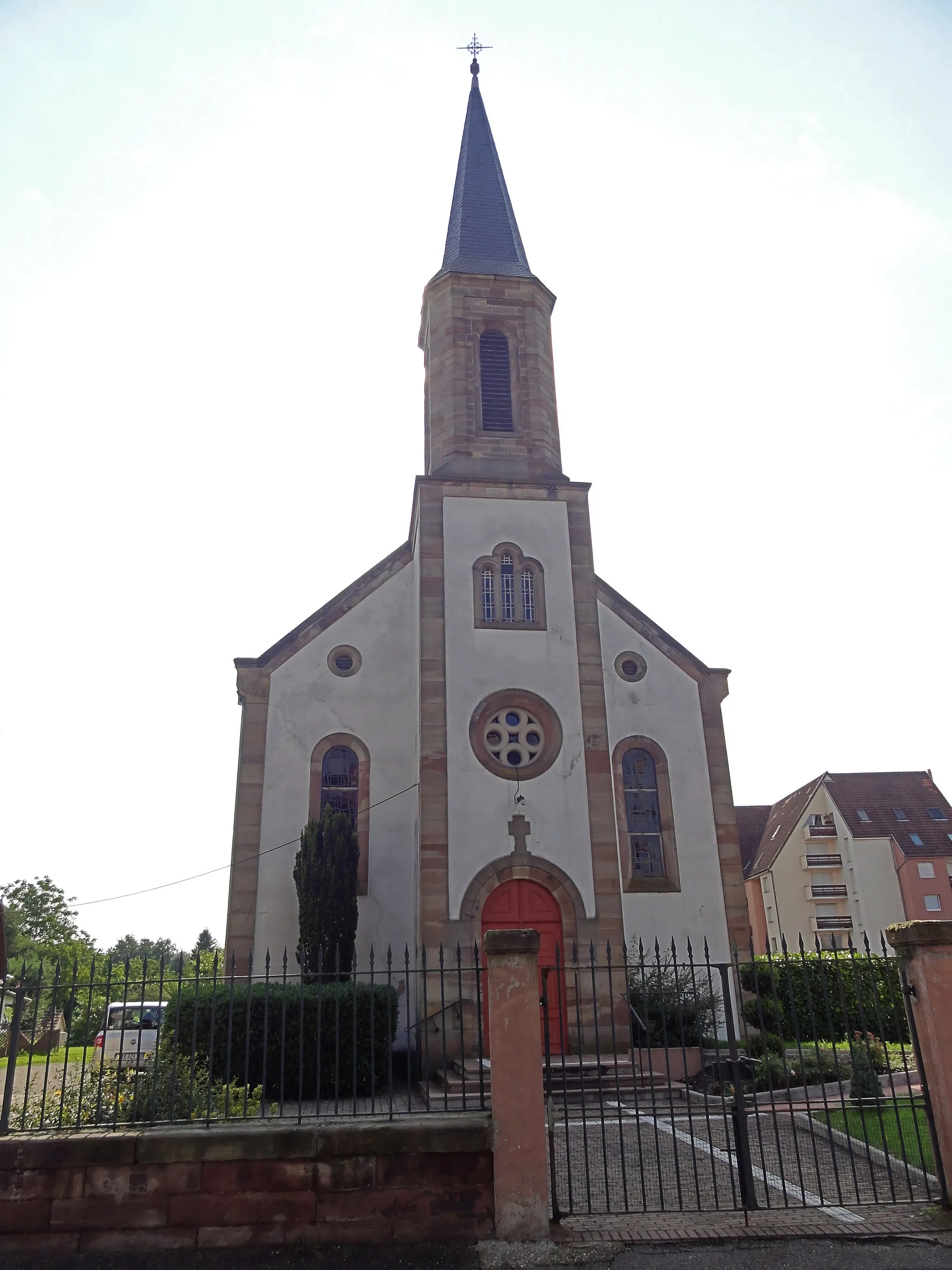
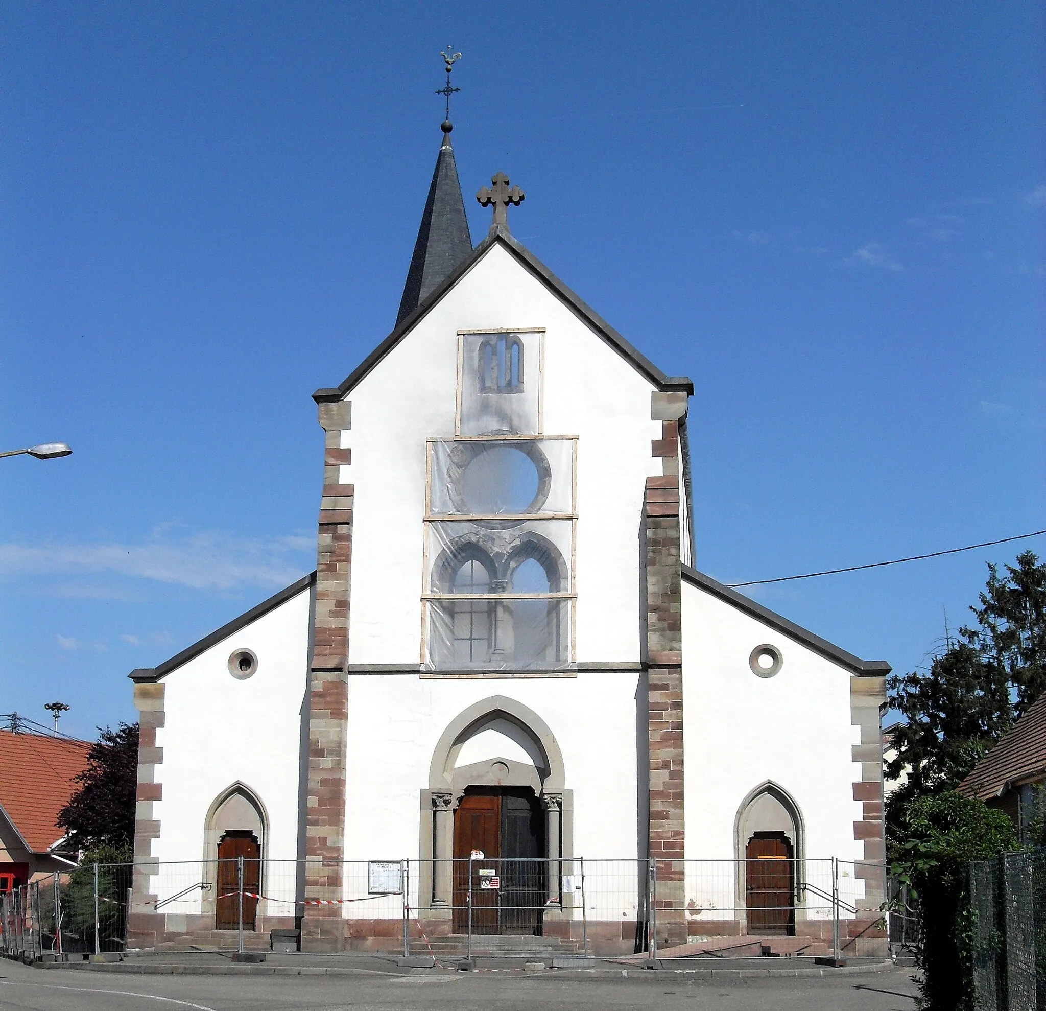
Dambach-la-VilleVillageDambach-la-Ville, the starting point of the route, is a charming medieval town renowned for its vineyards and picturesque streets.
32 km
32 km
BassembergVillageBassemberg boasts stunning natural landscapes and a peaceful ambiance, making it a great spot to rest and admire the surroundings.
40 km
40 km
Mt. Climont965 mViewpointMt. Climont is a legendary climb known for its challenging gradients and rewarding panoramic views at the summit.
59 km
59 km
Nid des Oiseaux604 mPeakNid des Oiseaux is an incredible viewpoint perched atop a cliff, offering breathtaking scenery and a true sense of victory.
62 km
62 km
RothauVillageRothau is a picturesque village surrounded by dense forests and rolling hills, providing a peaceful escape from the challenges of the route.
84 km
84 km
Château du Haut-AndlauCastleChâteau du Haut-Andlau, a historic castle, offers captivating views and a glimpse into Alsace's rich heritage.
85 km
85 km
Silberberg441 mPeakSilberberg is a serene hilltop with lush greenery and stunning panoramic views, ideal for taking a peaceful break.
93 km
93 km
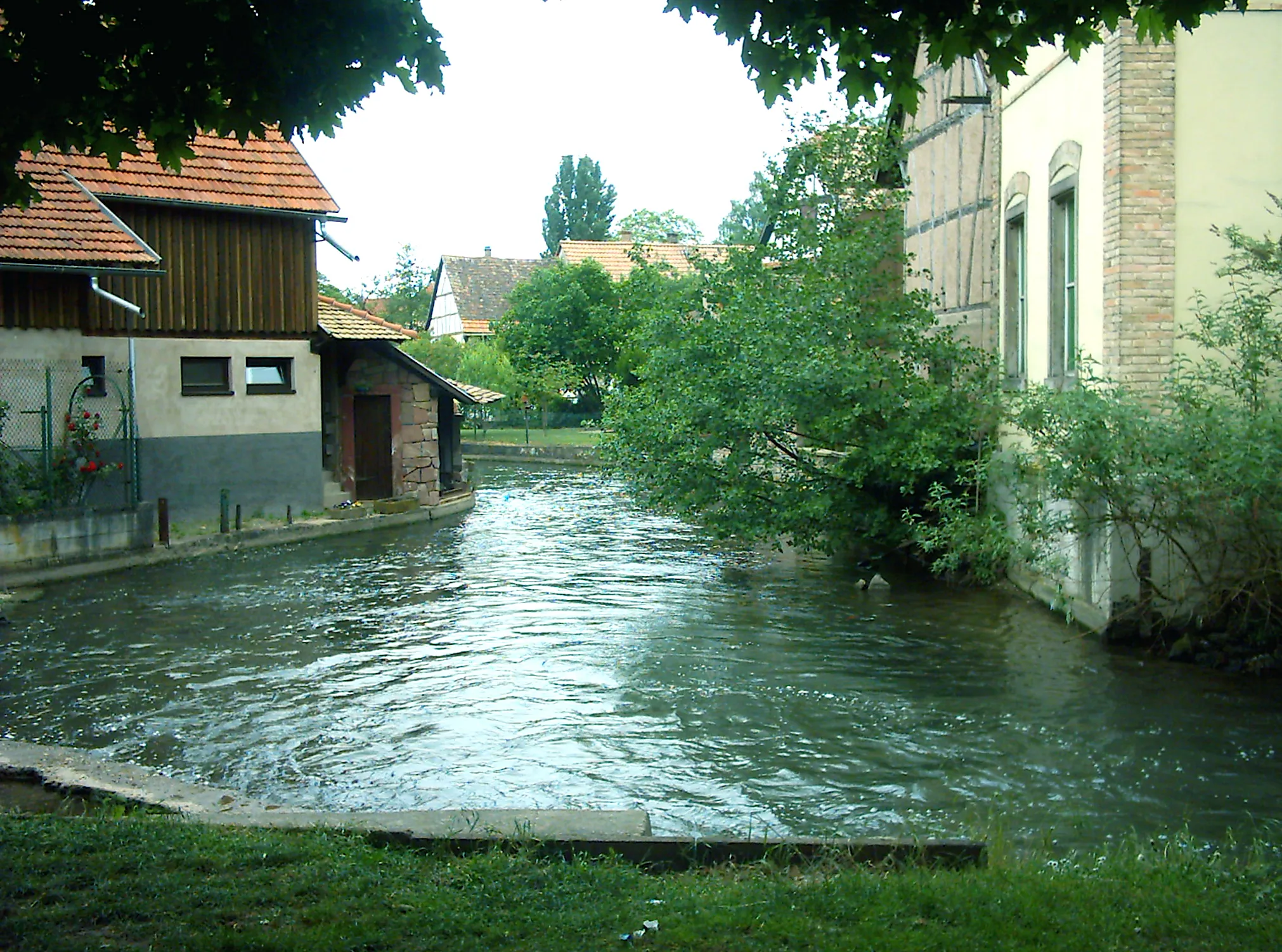
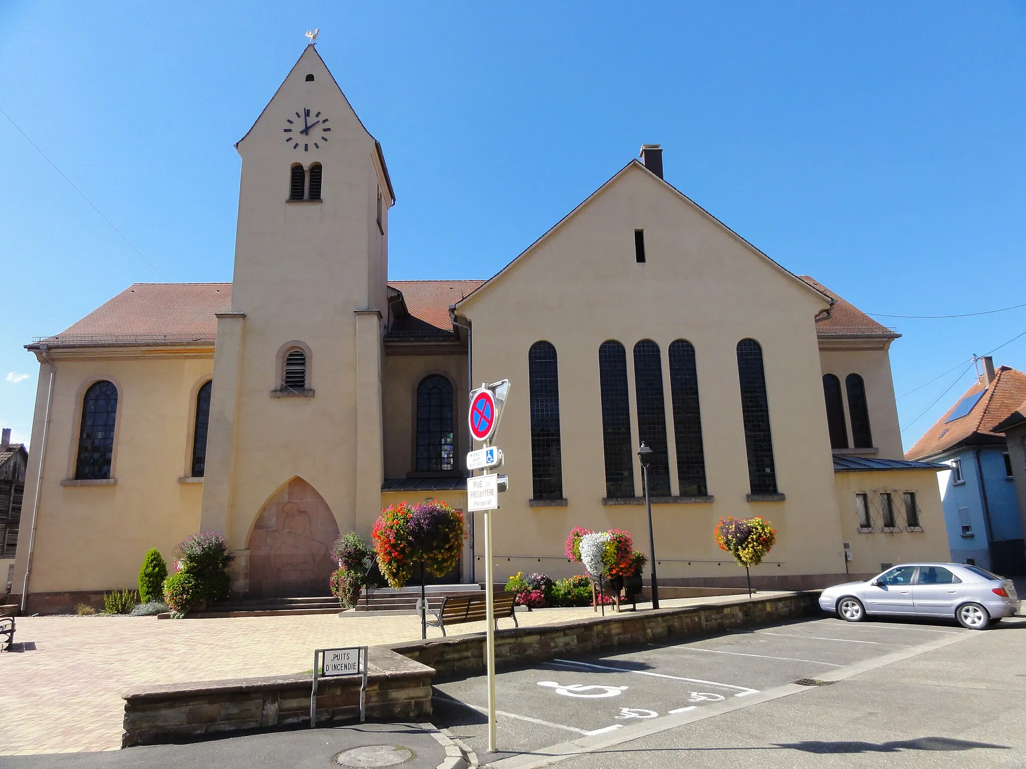
StotzheimVillageStotzheim is the final destination of the route, offering a charming village with traditional Alsatian houses and a relaxing atmosphere.
101 km
101 km
Finish: Huttenheim Village centerHuttenheim: Cycling through picturesque vineyards in Alsace.
Cycling routes from Huttenheim:
Huttenheim Gravel Adventure Gravel Explorations near Huttenheim Road to Mountain Climont Road to Kenzingen Huttenheim to Panorama Loop Gravel Adventure in the Rhine Valley Huttenheim to Sermersheim Adventure Challenging Gravel Route: Dambach-la-Ville to Stotzheim Gerstheim Gravel Ride Road to Löcherbergwasen Alsace Gravel Adventure Vineyard Expedition Alsace Hilltops Challenge
Cycling routes nearby: