Road to Löcherbergwasen
A road cycling route starting from Huttenheim
An epic road cycling route leading to the majestic Löcherbergwasen peak
Map
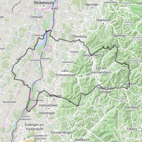
Embark on this epic 185 km road cycling route that takes you to the majestic Löcherbergwasen peak. With an elevation gain of 2150 meters, this challenging ride is perfect for seasoned cyclists seeking a monumental experience. Starting near Huttenheim, the route offers breathtaking views of the Alsace countryside and brings you through vibrant towns and villages. Visit prominent spots like Benfeld and Erstein along the way. The highlight of this route is the panoramic view from the Löcherbergwasen, a legendary climb that guarantees an unforgettable ride.
road
185 km
2150 m
Savage
Route profile
Highlights on the route
0 km
0 km
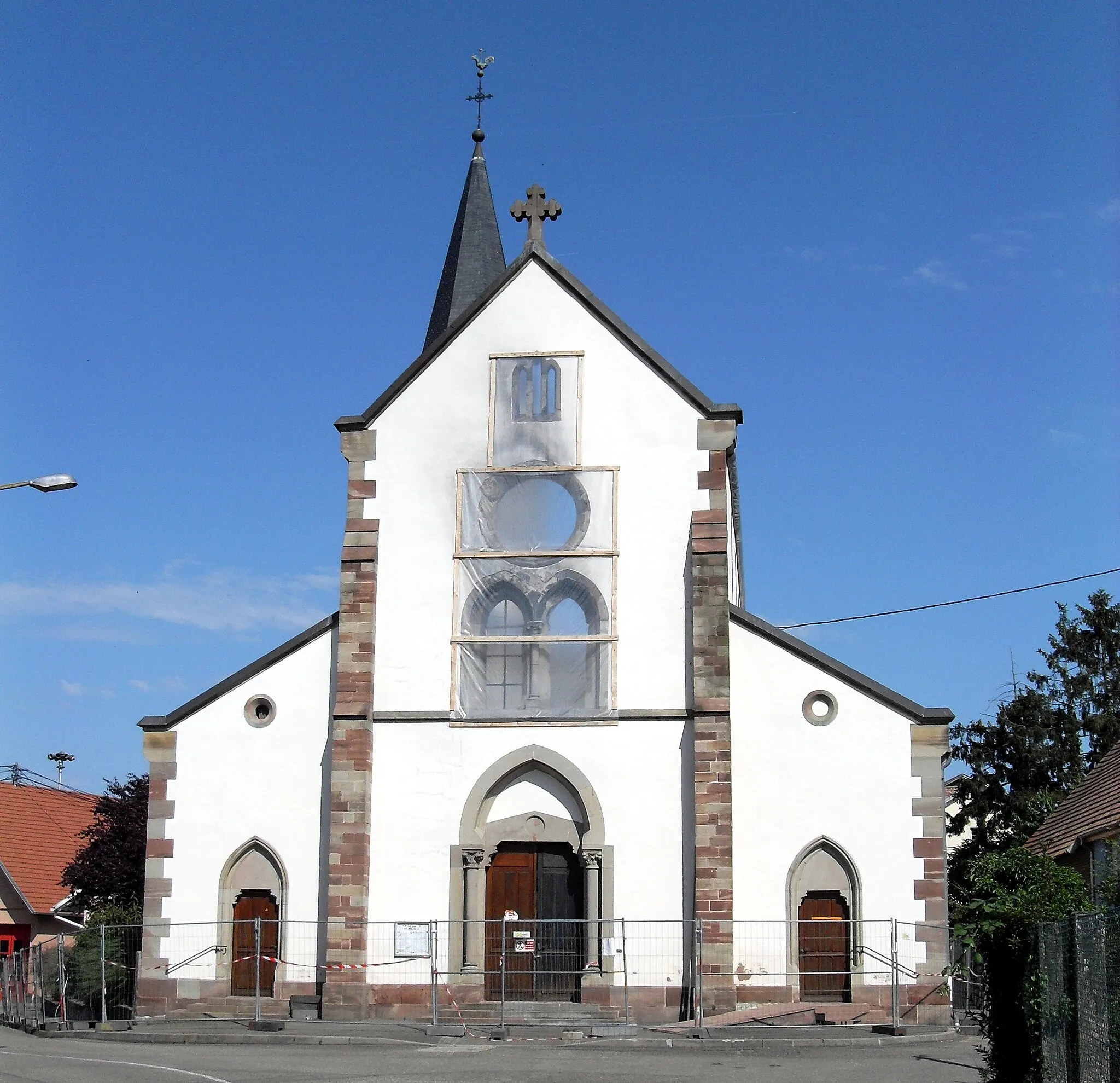
Start: Huttenheim Village centerHuttenheim: Cycling through picturesque vineyards in Alsace.
Huttenheim is a town located in the Alsace region of France. From a cyclist's perspective, Huttenheim offers a mix of road and off-road cycling opportunities. The town is surrounded by beautiful vineyards and scenic routes, providing a unique cycling experience. While there are no famous cycling-related spots or well-known climbs in the immediate vicinity, Huttenheim is a great destination for cyclists looking to explore the Alsace region and enjoy some wine tasting along the way.1 km
1 km
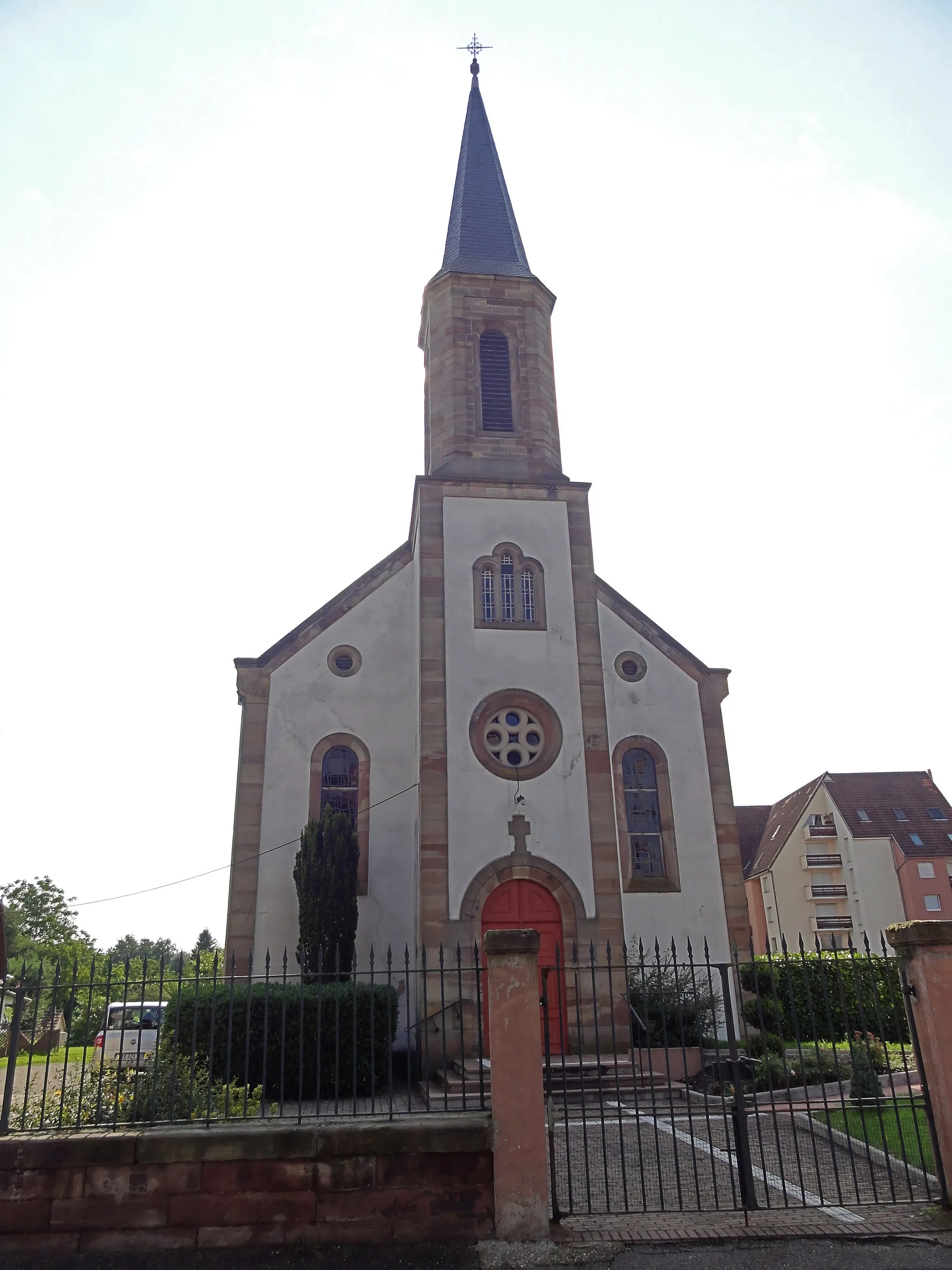
BenfeldVillageBenfeld, a charming town with historical monuments and cultural attractions.
10 km
10 km
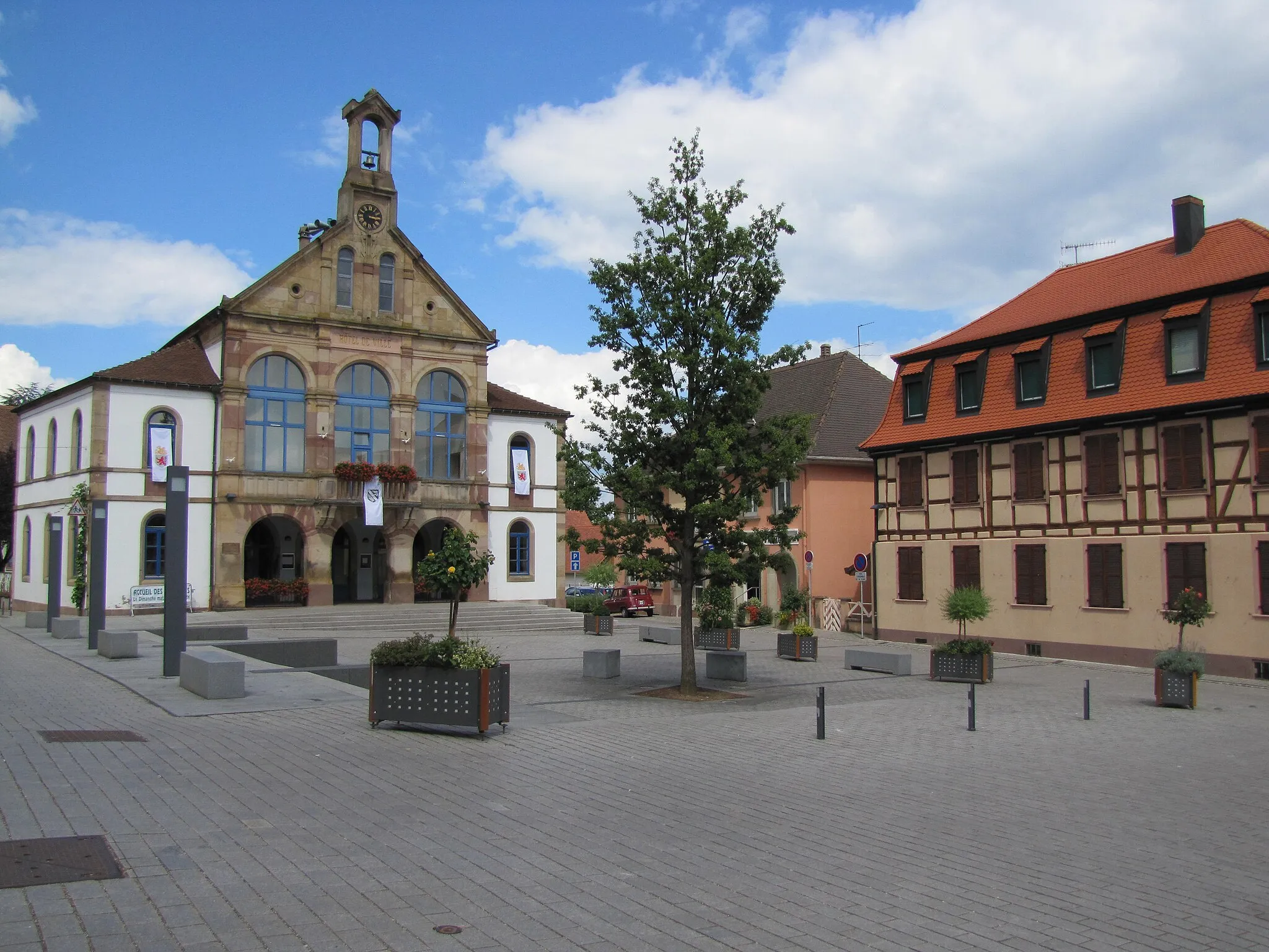
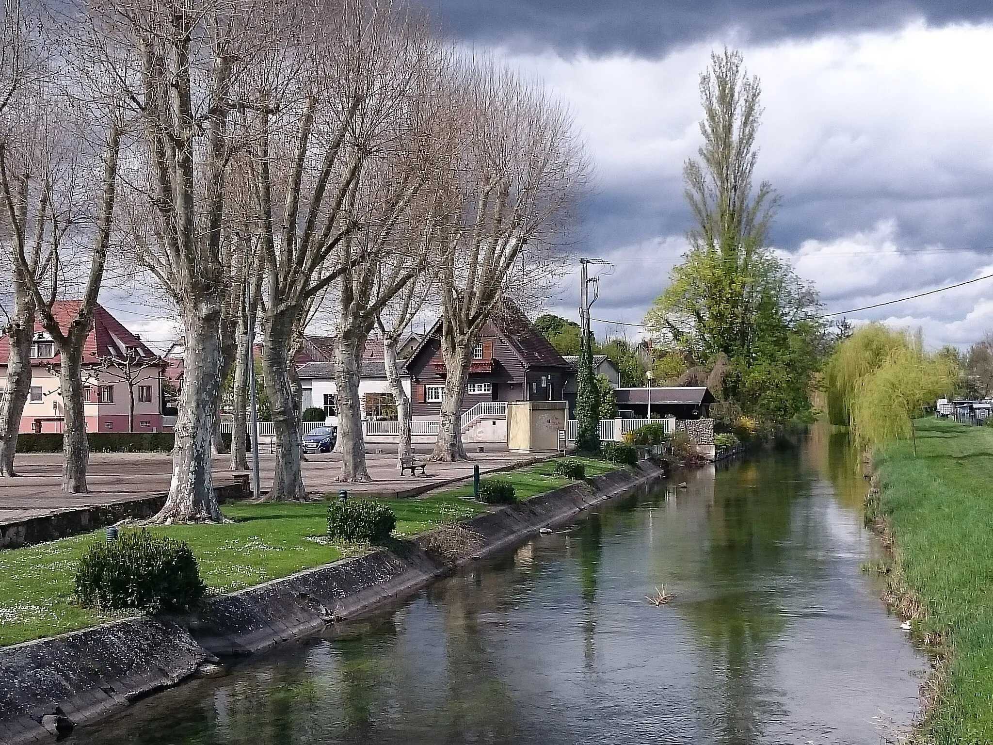
ErsteinVillageErstein, a picturesque town known for its beautiful architecture and traditional Alsatian charm.
19 km
19 km
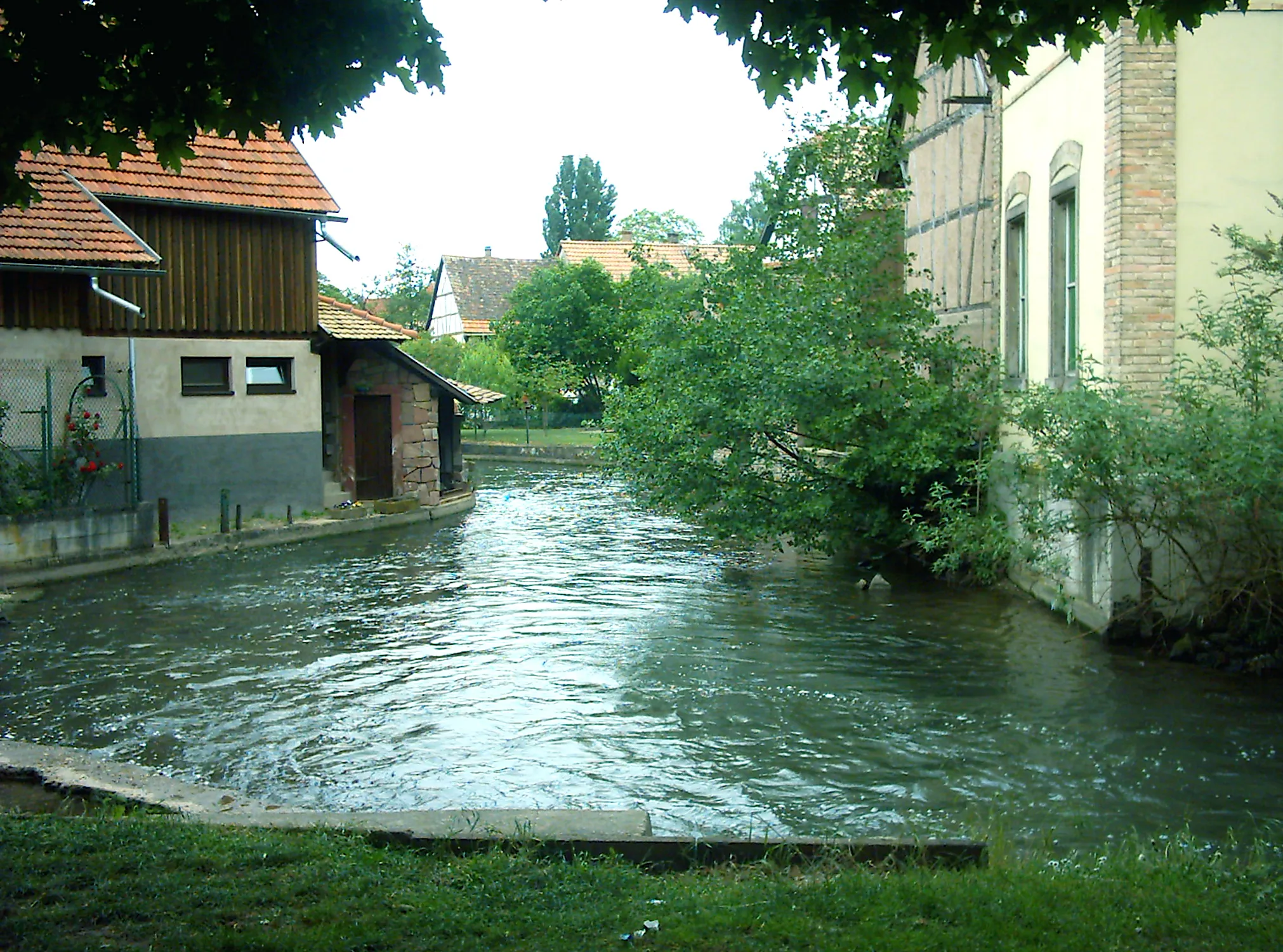
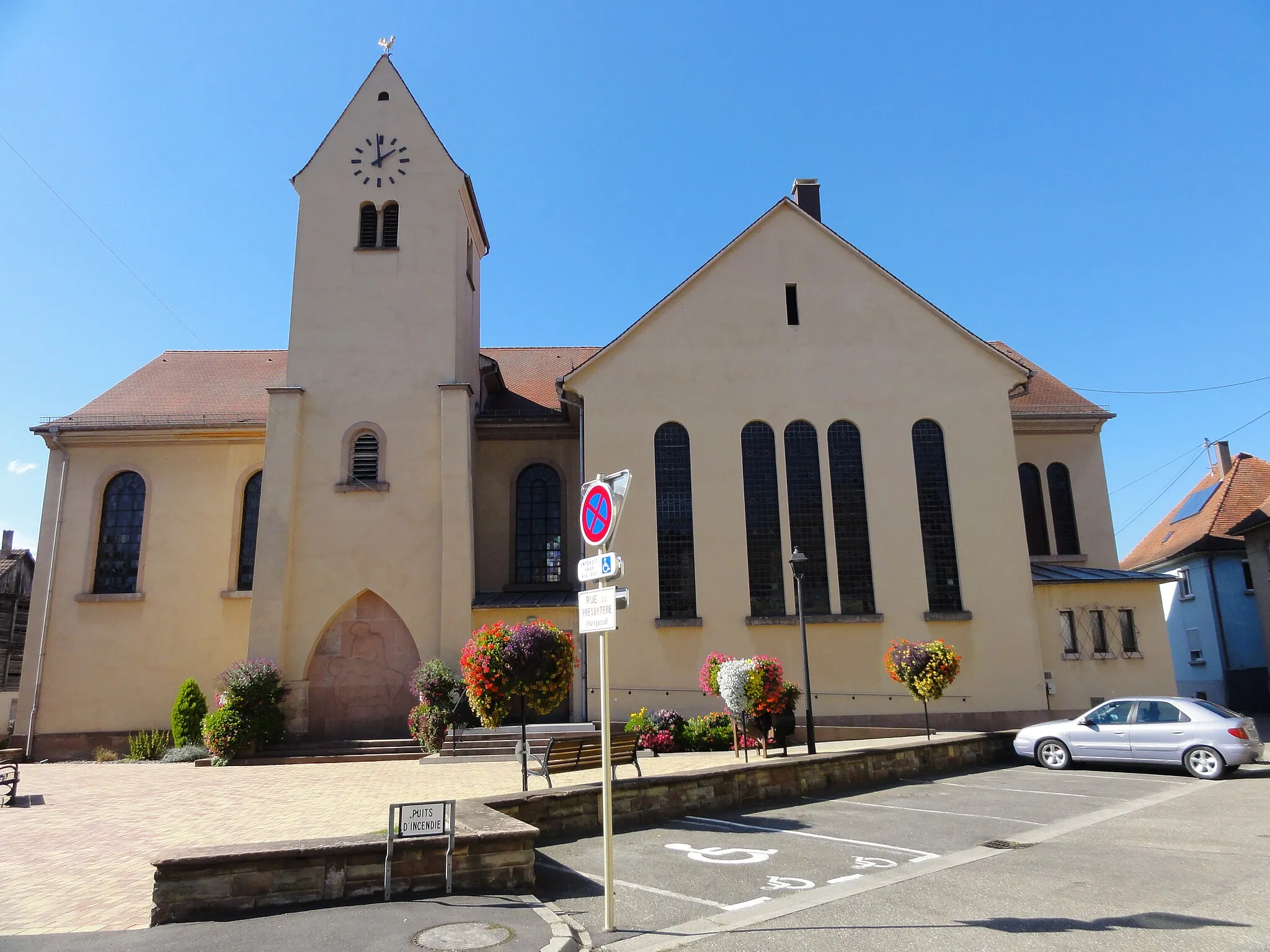
PlobsheimVillagePlobsheim, a scenic village located near the Rhine river.
47 km
47 km
Pfarrer Huber BlickViewpointPfarrer Huber Blick, a viewpoint offering stunning panoramic views of the landscape.
51 km
51 km
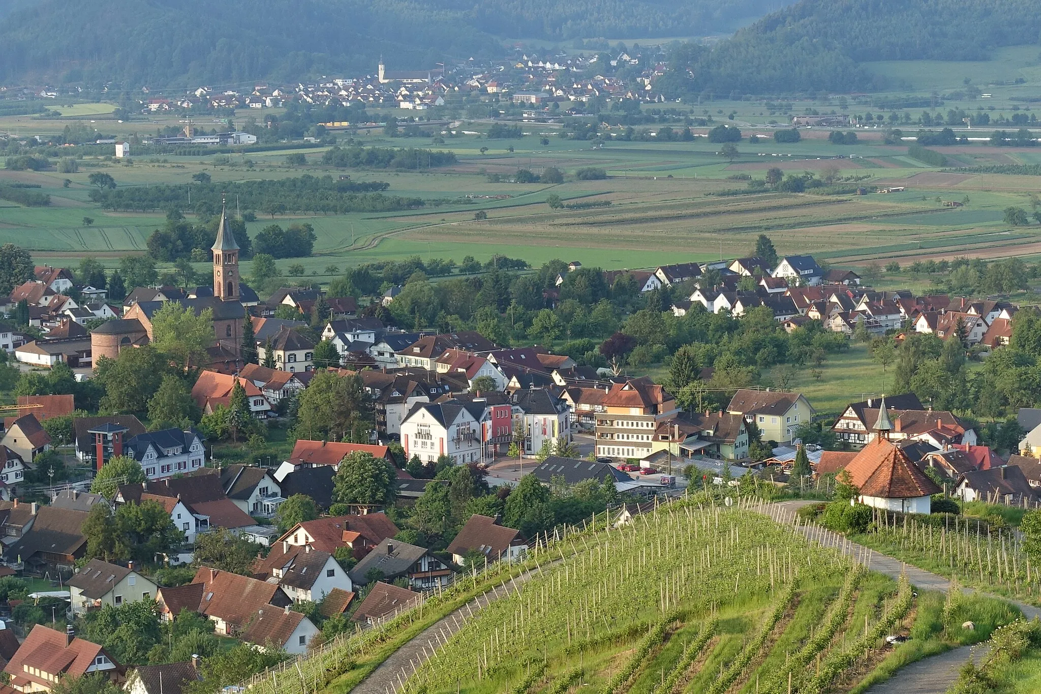
OhlsbachVillageOhlsbach, a charming village famous for its wineries and wine production.
74 km
74 km
Löcherbergwasen655 mMountain PassLöcherbergwasen, a majestic peak with breathtaking vistas of the surrounding valleys and mountains.
95 km
95 km
WolfachTownWolfach, a scenic town situated on the banks of the Kinzig river.
98 km
98 km
HexentanzplatzViewpointHexentanzplatz, a unique cultural spot known for its connection to folklore and legends.
106 km
106 km
FischerbachVillageFischerbach, a beautiful village nestled in the Black Forest region.
119 km
119 km
Goldbühl518 mPeakGoldbühl, a peaceful natural area perfect for relaxation and enjoying the scenic beauty.
130 km
130 km
Heubachbühl474 mPeakHeubachbühl, a picturesque location with stunning views of the surrounding landscapes.
141 km
141 km
EttenheimTownEttenheim, a historic town with charming architecture and a rich cultural heritage.
158 km
158 km
WeisweilVillageWeisweil, a village known for its traditional Alsatian houses and warm hospitality.
171 km
171 km
Pierrette's GardenViewpointPierrette's Garden, a beautiful botanical garden where you can relax and enjoy nature's beauty.
177 km
177 km
WitternheimVillageWitternheim, a small village with a rich history and charming architecture.
185 km
185 km
Finish: Huttenheim Village centerHuttenheim: Cycling through picturesque vineyards in Alsace.
Cycling routes from Huttenheim:
Huttenheim Gravel Adventure Gravel Explorations near Huttenheim Road to Mountain Climont Road to Kenzingen Huttenheim to Panorama Loop Gravel Adventure in the Rhine Valley Huttenheim to Sermersheim Adventure Challenging Gravel Route: Dambach-la-Ville to Stotzheim Gerstheim Gravel Ride Road to Löcherbergwasen Alsace Gravel Adventure Vineyard Expedition Alsace Hilltops Challenge
Cycling routes nearby: