The Engwiller Loop
A road cycling route starting from Gundershoffen
Experience the scenic views and charming villages on this road cycling route starting near Gundershoffen.
Map
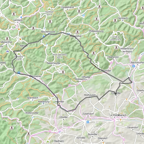
The Engwiller Loop is a 63 km road cycling route with 769 meters of ascent. It offers a delightful journey through picturesque landscapes and traditional Alsatian towns. The difficulty level is moderate, suitable for well-trained amateurs, and the epicness level is 3, making it a rewarding adventure for cyclists seeking a memorable experience.
road
63 km
769 m
Tough
Route profile
Highlights on the route
0 km
0 km
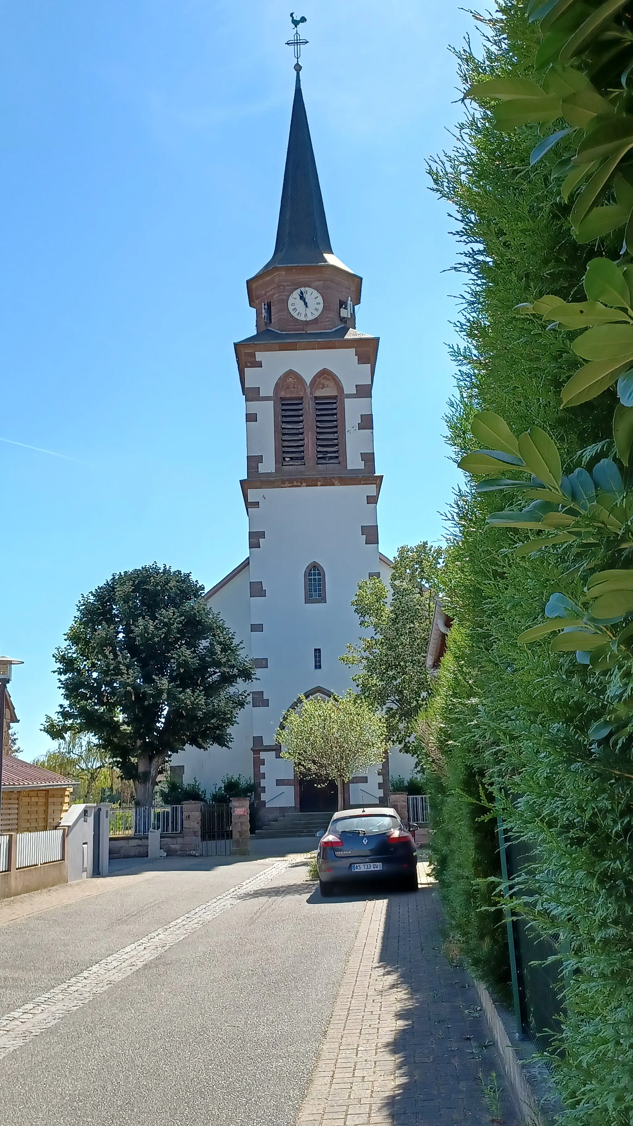
Start: Gundershoffen Village centerGundershoffen: Tranquil Countryside and Gateway to Vosges Mountains
Gundershoffen in the Alsace region of France offers a unique cycling experience with its picturesque countryside and well-maintained cycling paths. As a road and gravel cyclist, you can immerse yourself in the serene natural beauty while pedaling along the rolling hills and charming villages. The locality also serves as a gateway to the beautiful Vosges mountains, known for their challenging climbs and impressive scenery. Cyclists seeking an adventure can explore the iconic 'Ballons des Vosges' route, famous for its demanding ascents and rewarding panoramic views. Gundershoffen is a hidden gem for cyclists, combining tranquility and thrilling cycling opportunities.4 km
4 km
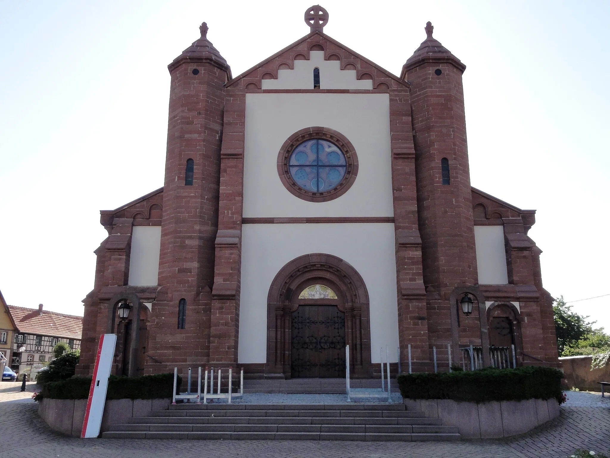
EngwillerVillageEngwiller is a charming village known for its medieval castle ruins.
10 km
10 km
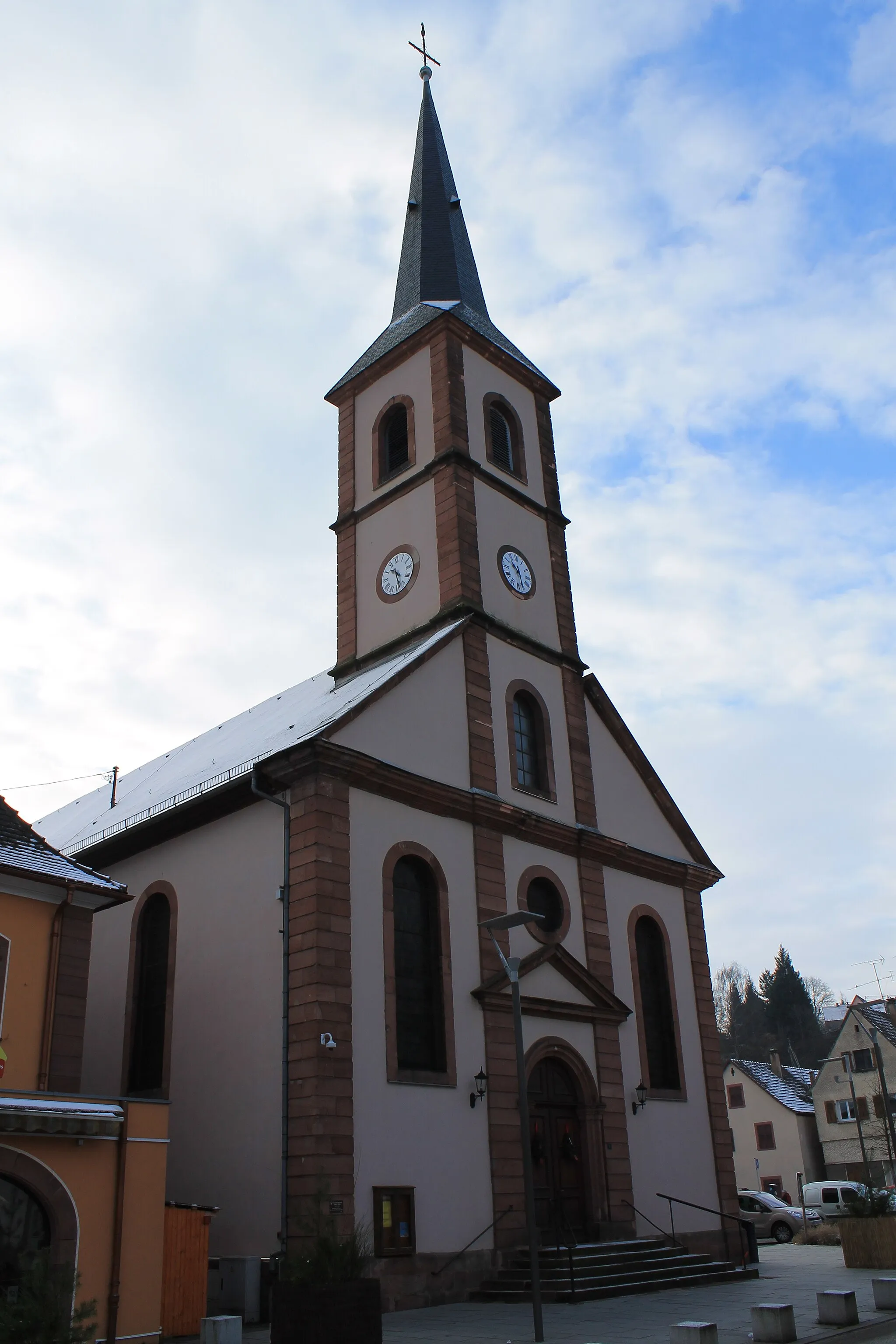
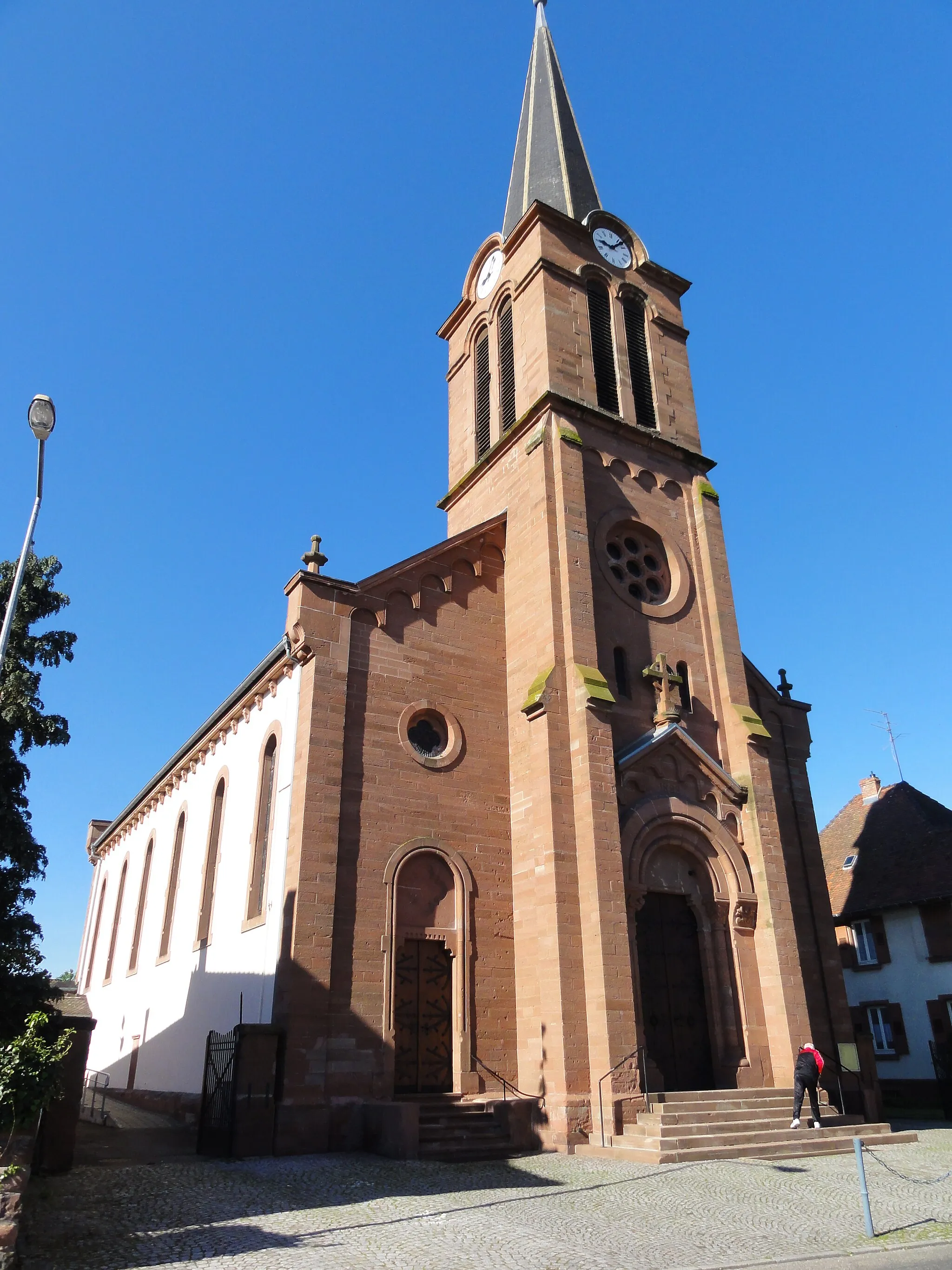
MulhausenVillageMulhausen is a beautiful village with a rich history and a stunning church.
22 km
22 km
Blotthuebel272 mPeakBlotthuebel offers breathtaking panoramic views of the surrounding valleys.
41 km
41 km
Bocksberg336 mPeakBocksberg is an enchanting hill with a tranquil forest and a nature trail.
41 km
41 km
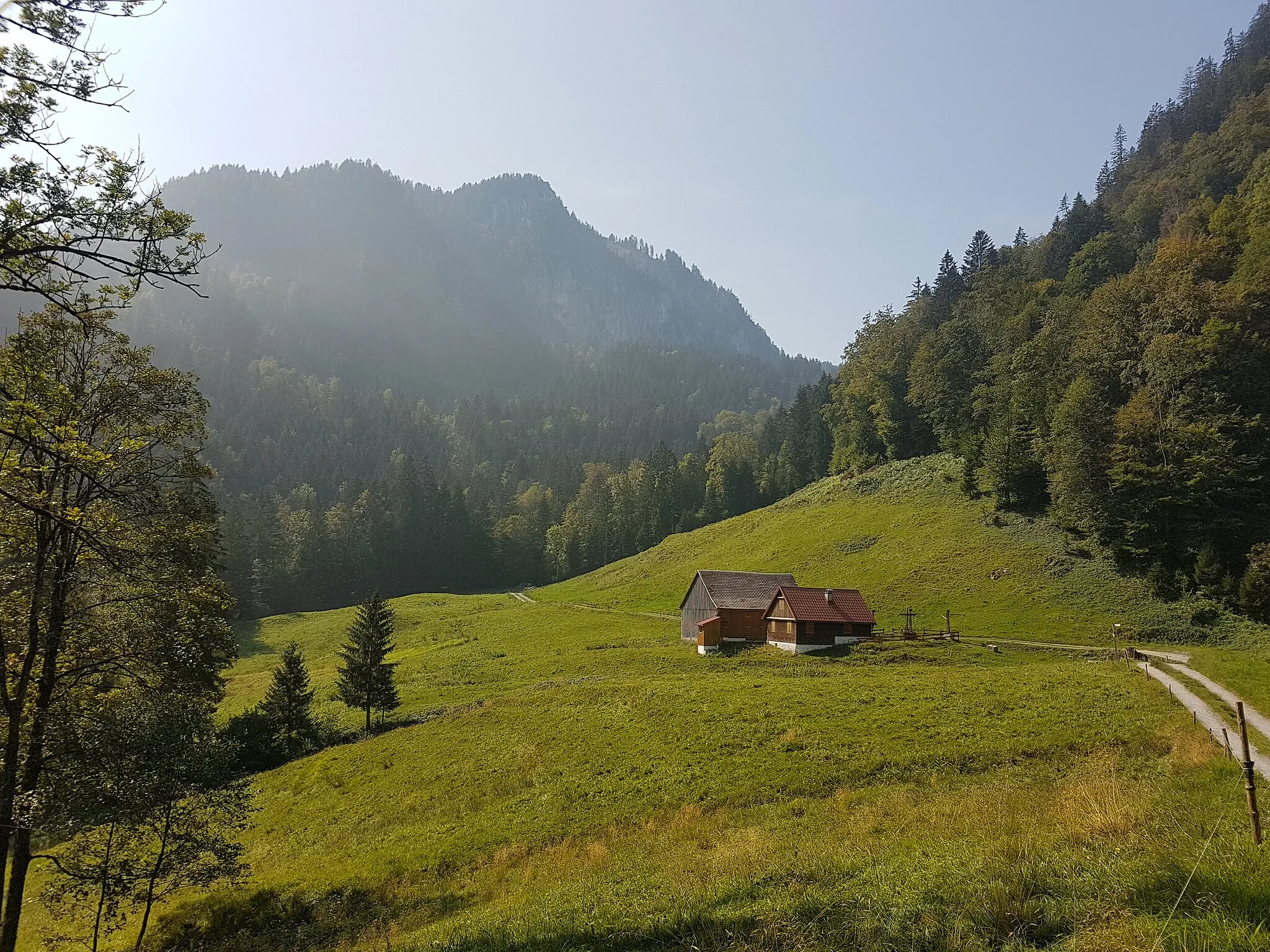
MouterhouseVillageExplore the historic ruins of Mouterhouse, a medieval fortress surrounded by nature.
54 km
54 km
Michelskopf414 mPeakClimb to the top of Michelskopf, a scenic lookout point with panoramic vistas.
56 km
56 km
ZinswillerVillageZinswiller is a lovely village known for its traditional half-timbered houses.
63 km
63 km
Finish: Gundershoffen Village centerGundershoffen: Tranquil Countryside and Gateway to Vosges Mountains
Cycling routes nearby: