The Ultimate Road Challenge
A road cycling route starting from Hochstatt
Conquer the challenging climbs of Britzgyberg and Réchésy on this epic road cycling route.
Map

This 132km road cycling route near Hochstatt is not for the faint-hearted. With an impressive 1651m of ascent, this challenging route will take experienced riders through breathtaking landscapes and testing climbs. Take in panoramic views from Britzgyberg, enjoy the picturesque beauty of Illfurth, and soak in the charming atmosphere of Emlingen. Conquer the Col des Rangiers and experience the thrill of La Joux. Finish your journey with a challenging climb up to Frœningen and bask in the satisfaction of completing an epic cycling route.
road
132 km
1651 m
Savage
Route profile
Highlights on the route
0 km
0 km
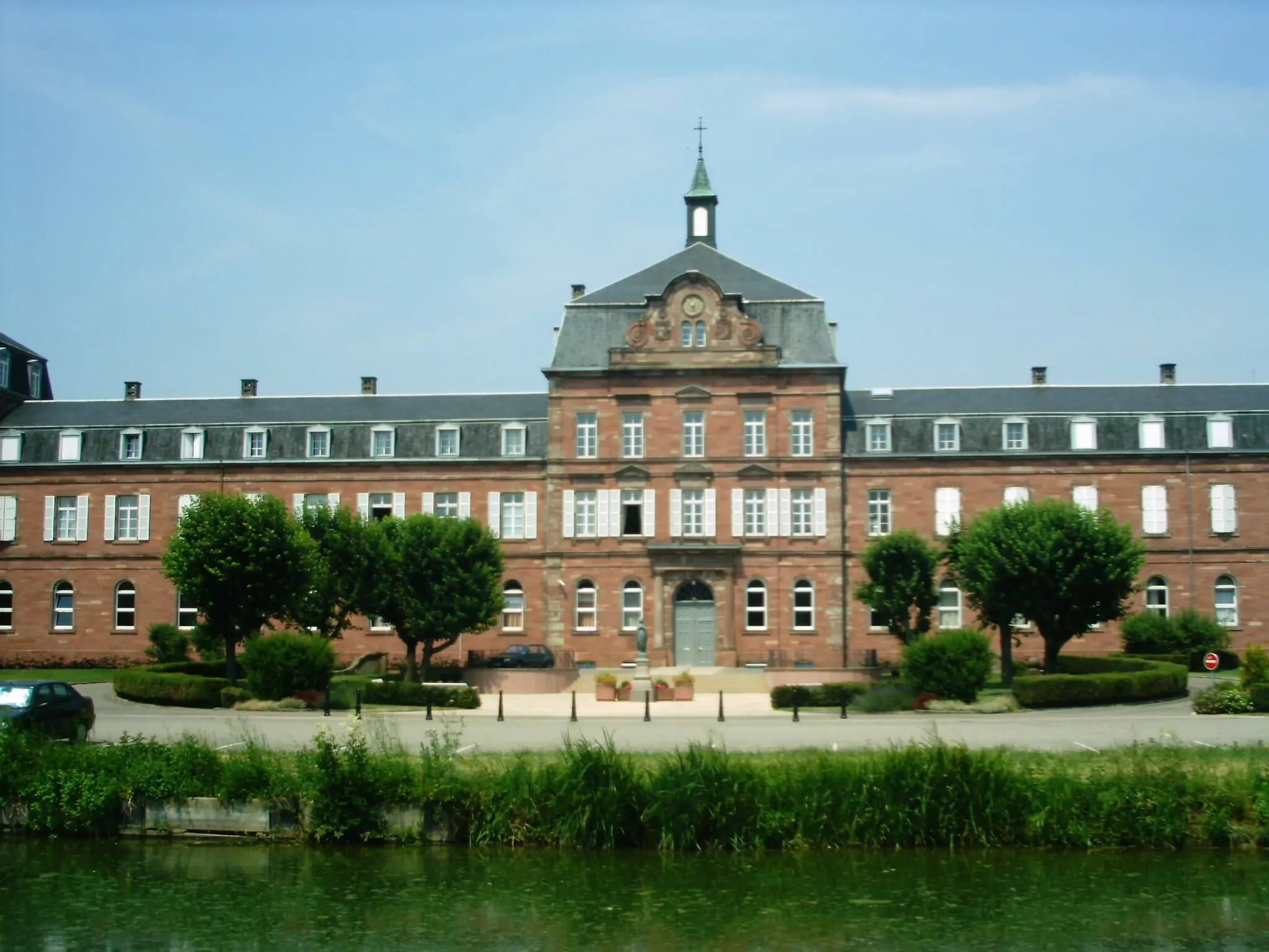
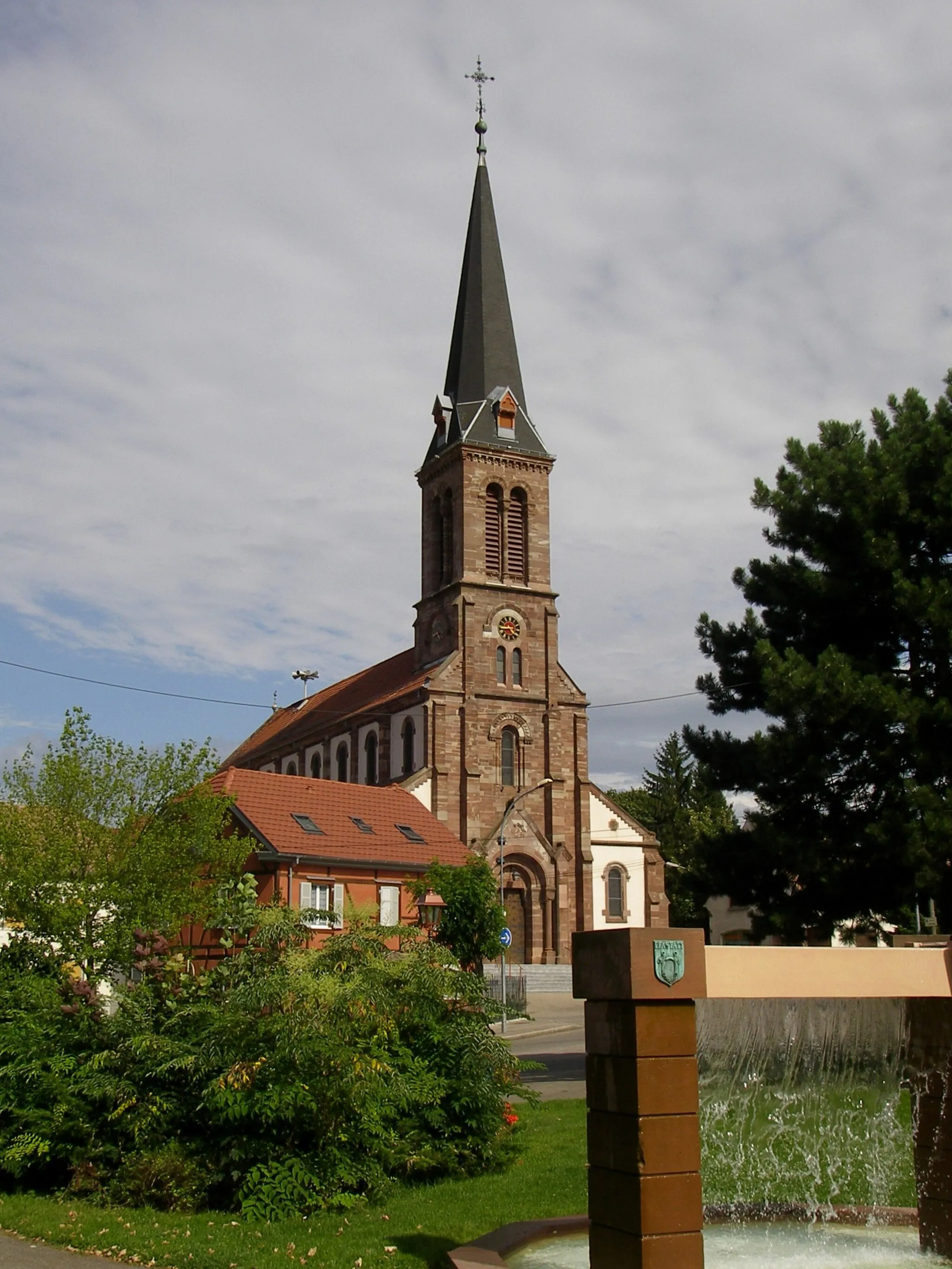
Start: Hochstatt Village centerHochstatt: Enjoying scenic routes and challenging climbs in Hochstatt, Alsace.
Hochstatt, located in the Alsace region of France, offers an excellent cycling experience for road and gravel cyclists. The locality provides well-maintained roads that wind through picturesque landscapes, offering stunning views along the way. Hochstatt is situated near famous climbs like the Grand Ballon, allowing cyclists to challenge themselves on renowned ascents. With its variety of cycling routes and access to notable climbs, Hochstatt is an attractive destination for cycling enthusiasts in Alsace.3 km
3 km
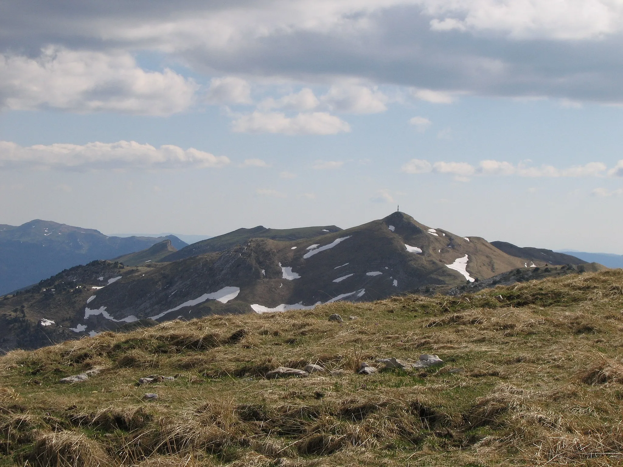
Britzgyberg382 mPeakClimb up Britzgyberg for stunning views and a challenging ascent.
4 km
4 km
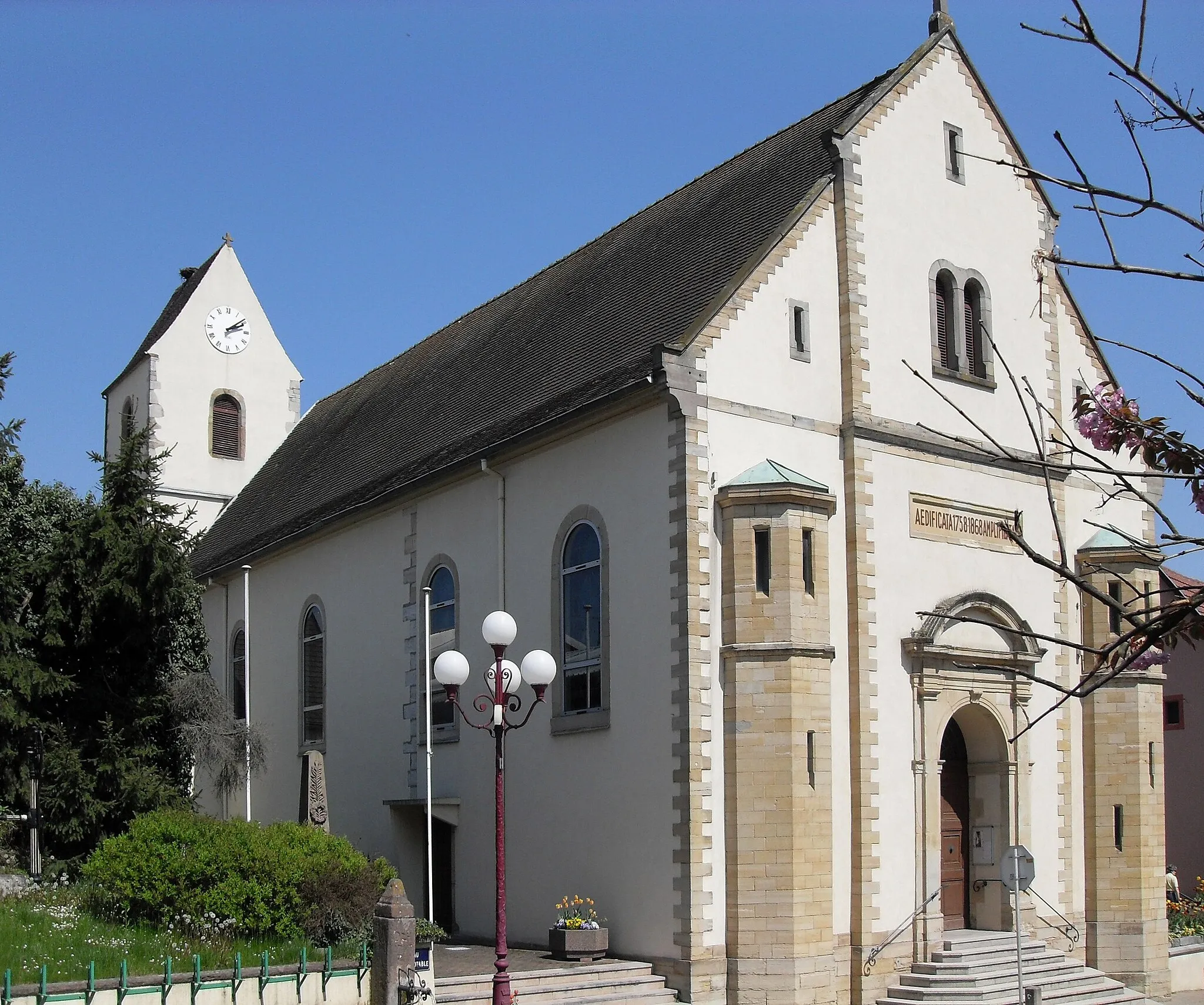
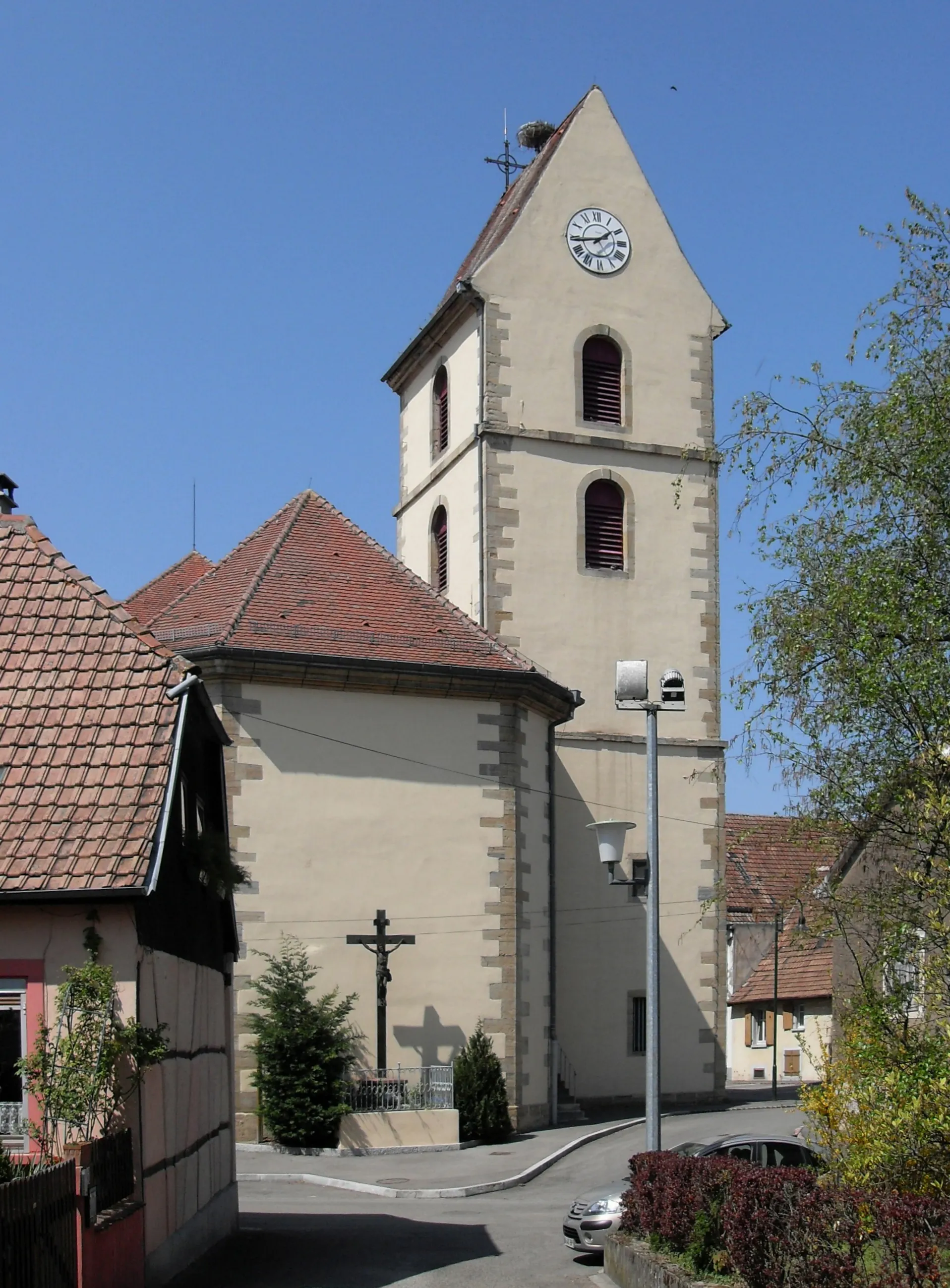
IllfurthVillageIllfurth is known for its beautiful church and tranquil atmosphere.
12 km
12 km
EmlingenVillageEmlingen is a picturesque village with colorful houses and lovely streets.
34 km
34 km
OltingueVillageOltingue boasts stunning views and an idyllic countryside setting.
45 km
45 km
KiffisVillageKiffis is a charming Alsatian village surrounded by rolling hills.
56 km
56 km
La Joux817 mPeakLa Joux provides a fantastic cycling challenge and breathtaking views.
66 km
66 km
CourtételleVillageCourtételle is a quaint Swiss village with beautiful traditional architecture.
79 km
79 km
Col des Rangiers856 mMountain PassCol des Rangiers is a legendary climb known for its challenging gradients.
100 km
100 km
RéchésyVillageRéchésy is a quiet village surrounded by peaceful nature trails.
119 km
119 km
CarspachVillageCarspach features picturesque Alsatian houses and lush green landscapes.
130 km
130 km
FrœningenVillageFrœningen is a small village atop a hill, offering stunning vistas of the region.
132 km
132 km
Finish: Hochstatt Village centerHochstatt: Enjoying scenic routes and challenging climbs in Hochstatt, Alsace.
Cycling routes nearby: