Peujard Expedition
A road cycling route starting from Coutras
Embark on an adventurous journey and conquer the challenging route to Peujard
Map
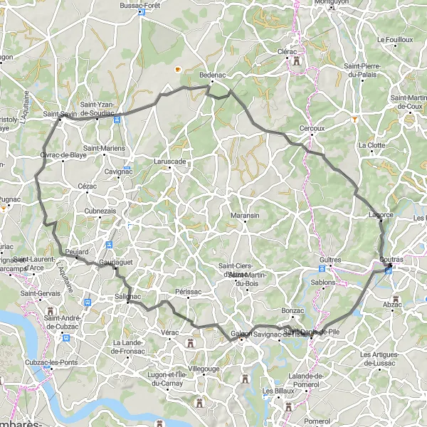
The Peujard Expedition is a thrilling cycling route that begins near Coutras in Aquitaine, France. This road cycling route is perfect for adventurous riders who enjoy a mix of tough climbs and exhilarating descents. The highlight of this route is the ascent to Peujard, a village known for its steep slopes and breathtaking views. With a distance of 83 kilometers and 490 meters of ascent, this route offers a challenging yet rewarding experience.
road
83 km
490 m
Tough
Route profile
Highlights on the route
0 km
0 km
Start: Coutras Village centerCoutras: Coutras - Cycling through charming villages and vineyards
Coutras, located in the Aquitaine region of France, offers a mix of road and gravel cycling routes for enthusiasts. The region is renowned for its rolling countryside and charming villages, providing cyclists with a variety of terrains to explore. One of the highlights for cyclists in Coutras is the route that takes you through the vineyards of the famous Bordeaux wine region. Cyclists can enjoy the picturesque scenery while riding through the vineyards and tasting some of the finest wines along the way. Coutras offers a cyclist-friendly atmosphere and a range of routes suitable for all skill levels.9 km
9 km
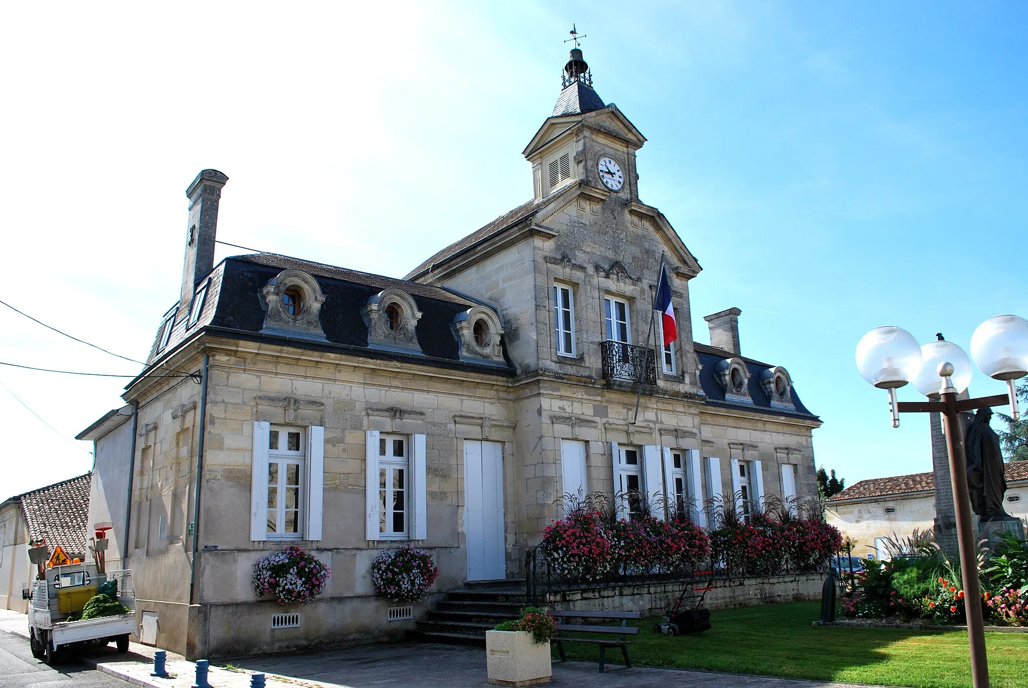
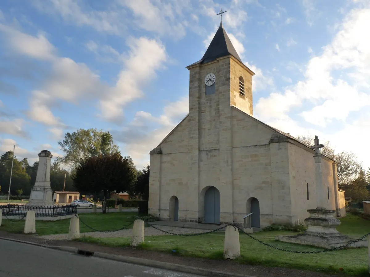
Saint-Denis-de-PileVillageAt the 9-kilometer mark, you'll pass through the charming village of Saint-Denis-de-Pile, where you can take a break and explore its historical sites.
11 km
11 km
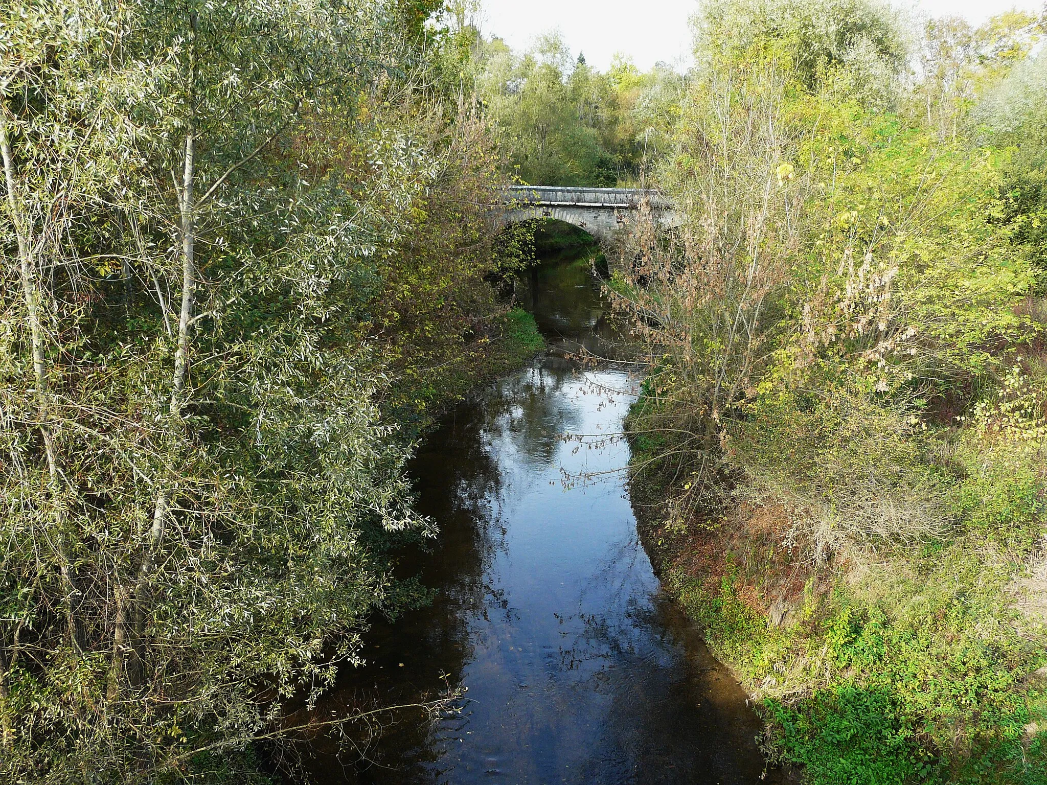
table panoramaViewpointAround the 11-kilometer mark, make sure to stop at the panoramic table viewpoint where you can take in the stunning surrounding landscapes.
33 km
33 km
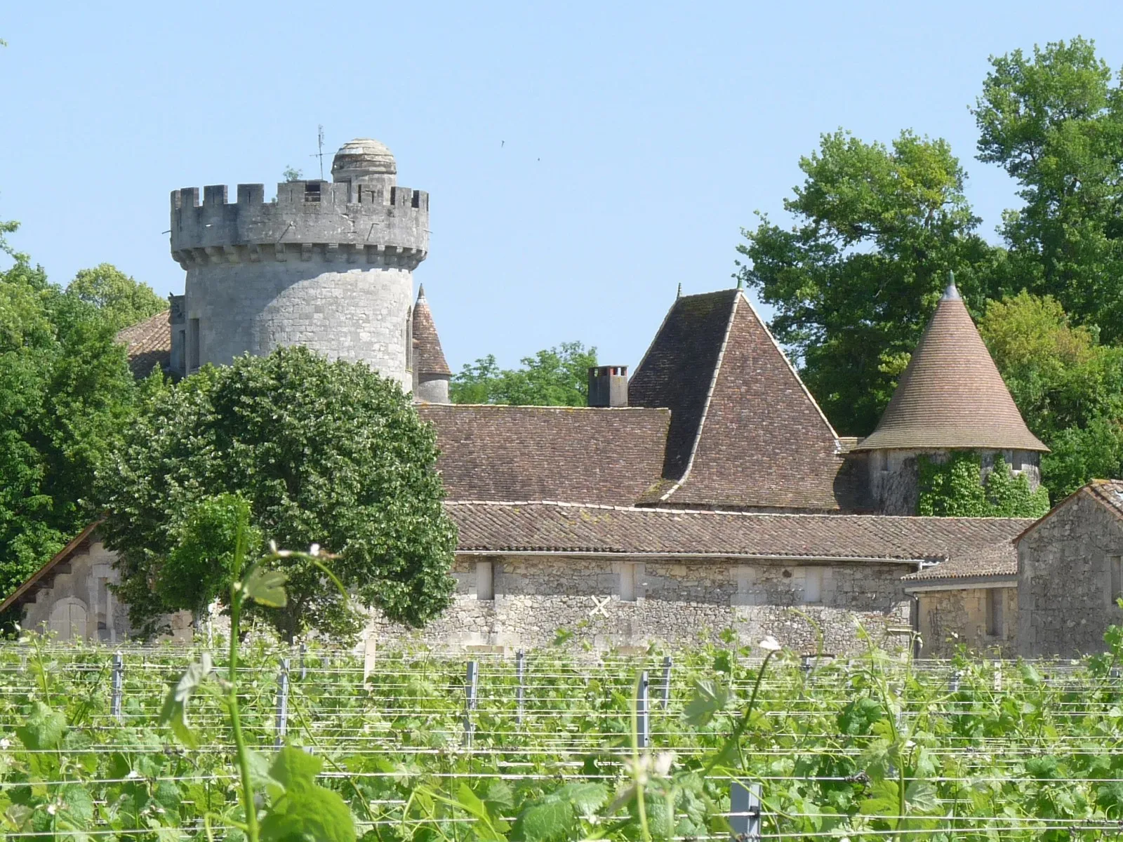
PeujardVillageApproximately 33 kilometers into the route, you'll reach the village of Peujard, popular among cyclists for its challenging ascent and picturesque scenery.
50 km
50 km
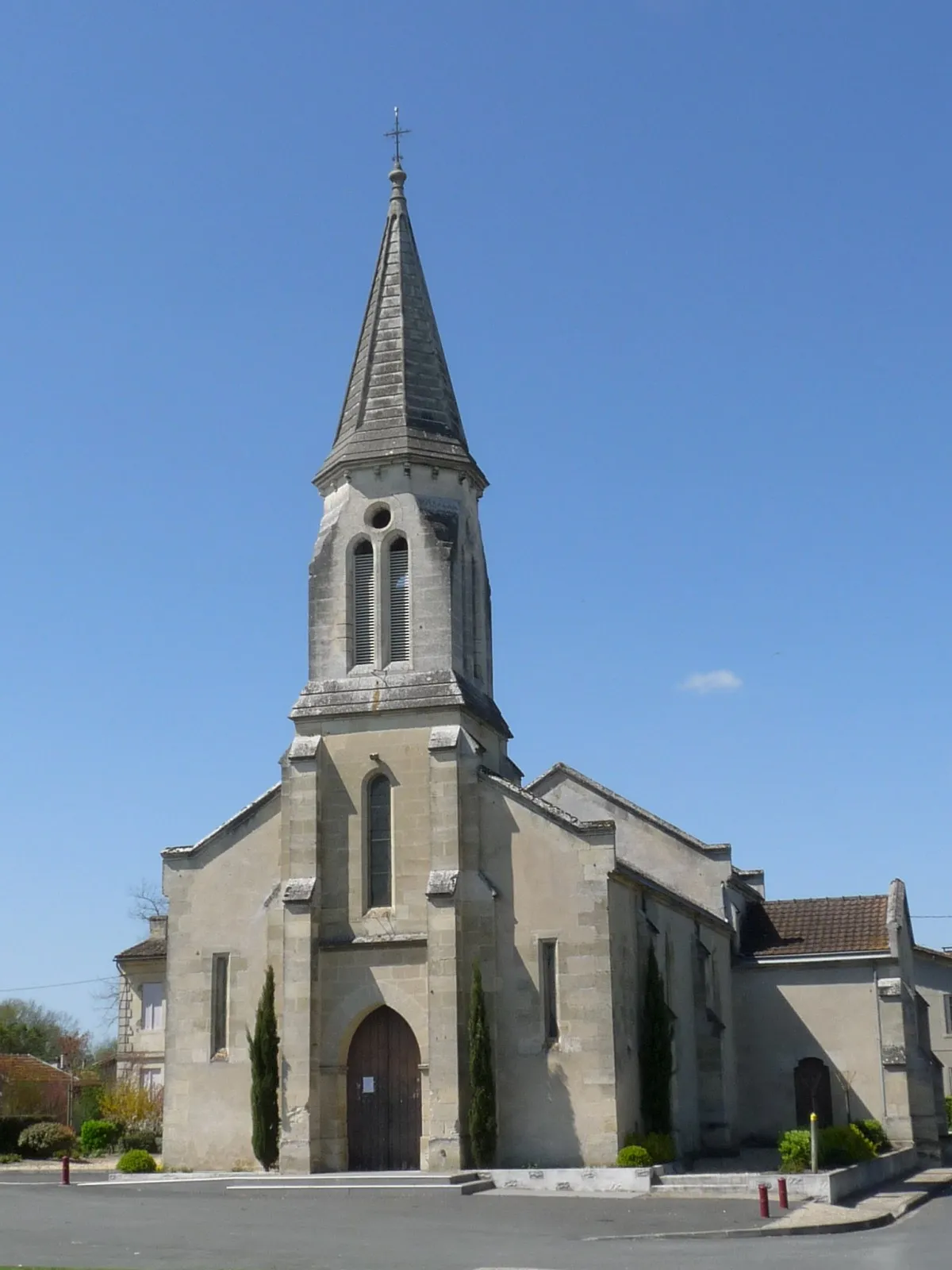
Saint-Yzan-de-SoudiacVillageAt the 50-kilometer mark, be prepared for the climb to Saint-Yzan-de-Soudiac, a scenic village known for its historic sites and tranquil atmosphere.
59 km
59 km
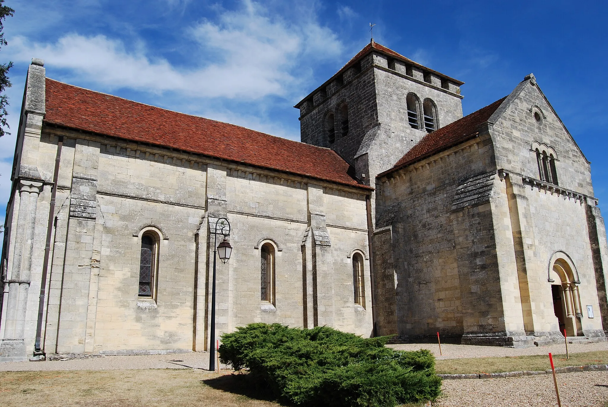
BedenacVillageAfter 59 kilometers, you'll pass through the village of Bedenac, which provides a delightful glimpse into rural French life.
83 km
83 km
CoutrasVillageThe starting point of this route is the town of Coutras, where you can explore local attractions and refuel with a post-ride meal at one of the town's restaurants.
83 km
83 km
Finish: Coutras Village centerCoutras: Coutras - Cycling through charming villages and vineyards
Cycling routes nearby: