The Gravel Adventure
A gravel cycling route starting from Mont-de-Marsan
Embark on an exciting gravel adventure through rural landscapes
Map
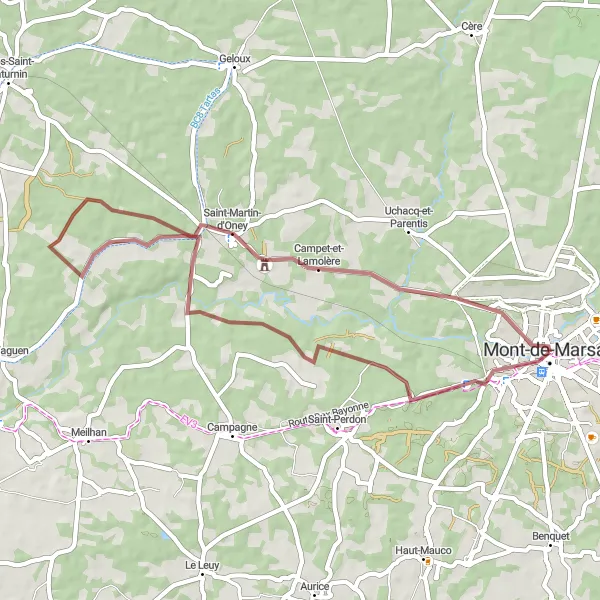
The Gravel Adventure is a 45-kilometer route starting near Mont-de-Marsan. With an ascent of 226 meters, this gravel route takes you off-road through charming rural landscapes. It is suitable for riders who are looking for a unique and adventurous cycling experience.
gravel
45 km
226 m
Chill
Route profile
Highlights on the route
0 km
0 km
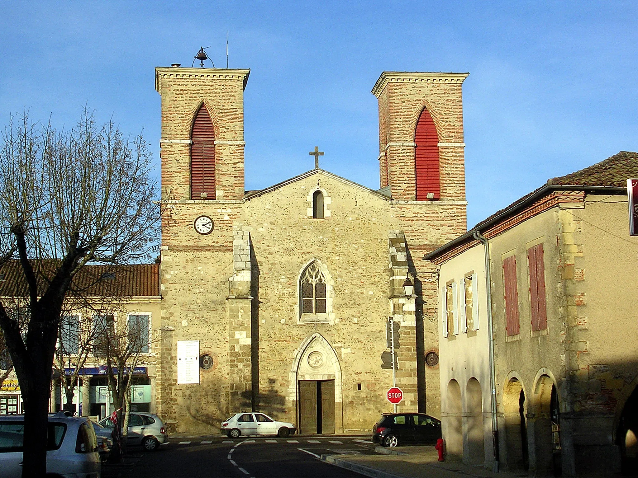
Start: Mont-de-Marsan City centerMont-de-Marsan: Picturesque landscapes with dedicated cycling paths and trails.
Mont-de-Marsan is a town located in the Aquitaine region of France. From a cyclist's perspective, Mont-de-Marsan offers some decent cycling opportunities. The area is characterized by its picturesque landscapes and scenic routes, with gently rolling hills and open fields. There are also dedicated cycling paths and trails in and around the town, providing safe and enjoyable riding experiences. While there may not be any particularly famous cycling-related spots or climbs nearby, the overall cycling infrastructure and natural beauty of Mont-de-Marsan makes it a worthwhile destination for road and gravel cyclists.0 km
0 km
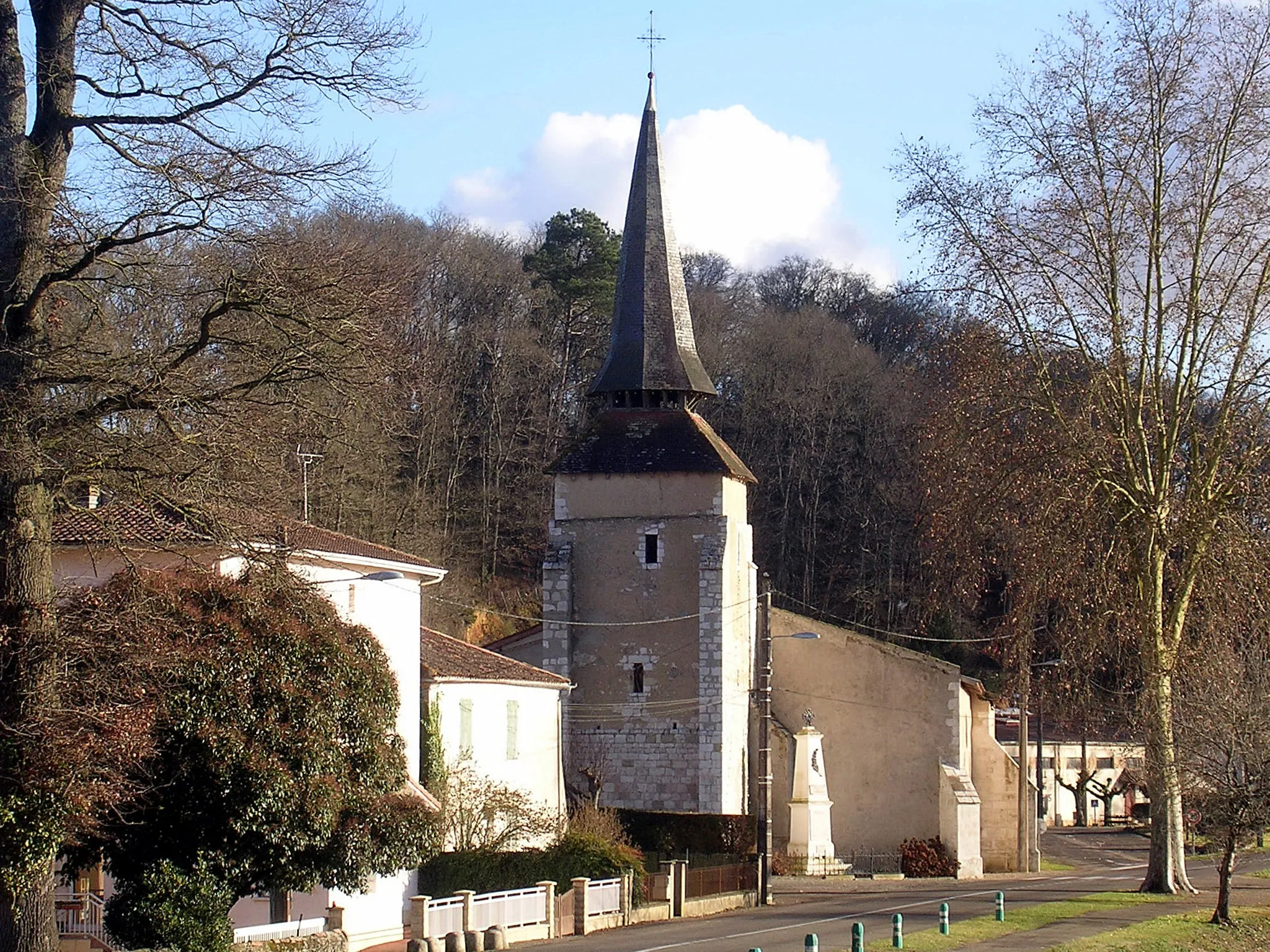
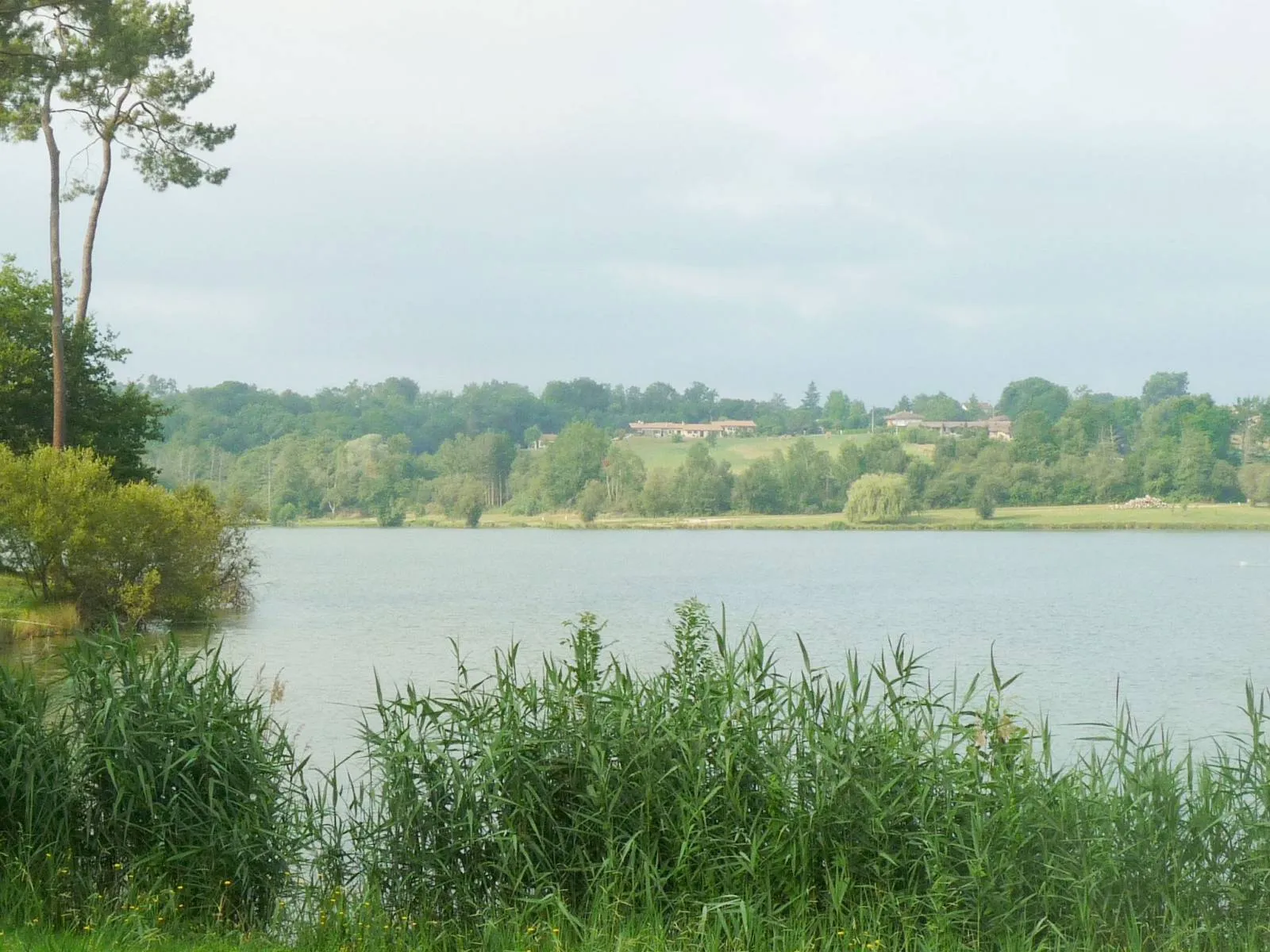
AbreuvoirViewpointAbreuvoir, at the start of the route, is a picturesque village with beautiful views and a refreshing water trough for cyclists.
36 km
36 km
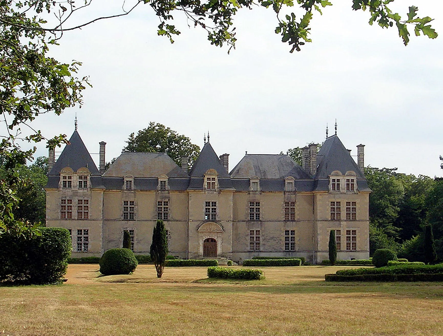
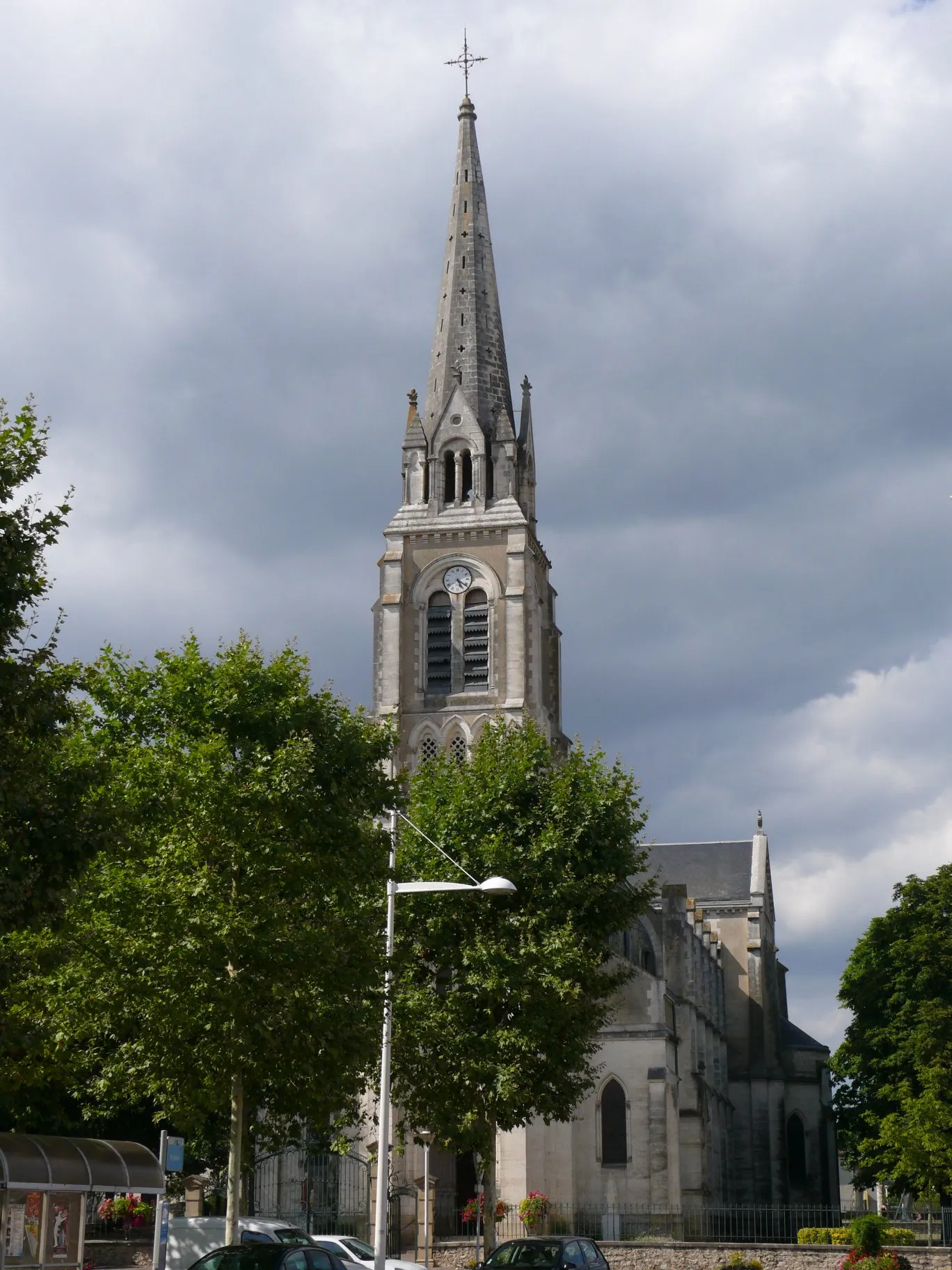
Campet-et-LamolèreVillageCampet-et-Lamolère, at the 36-kilometer mark, is a tranquil village surrounded by stunning natural landscapes.
45 km
45 km
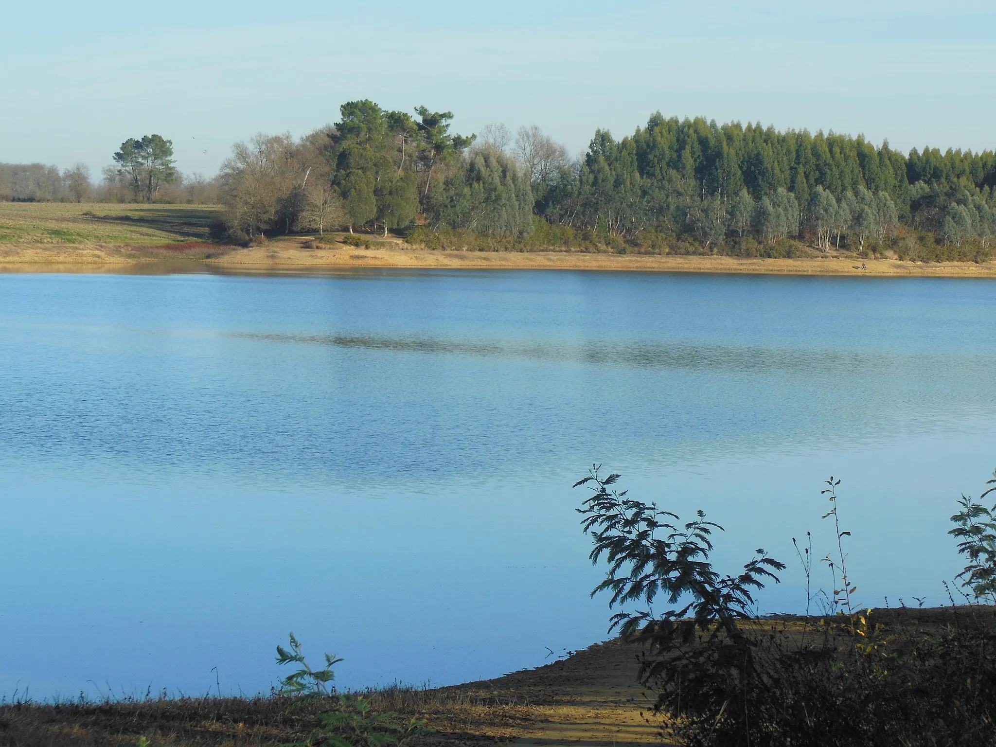
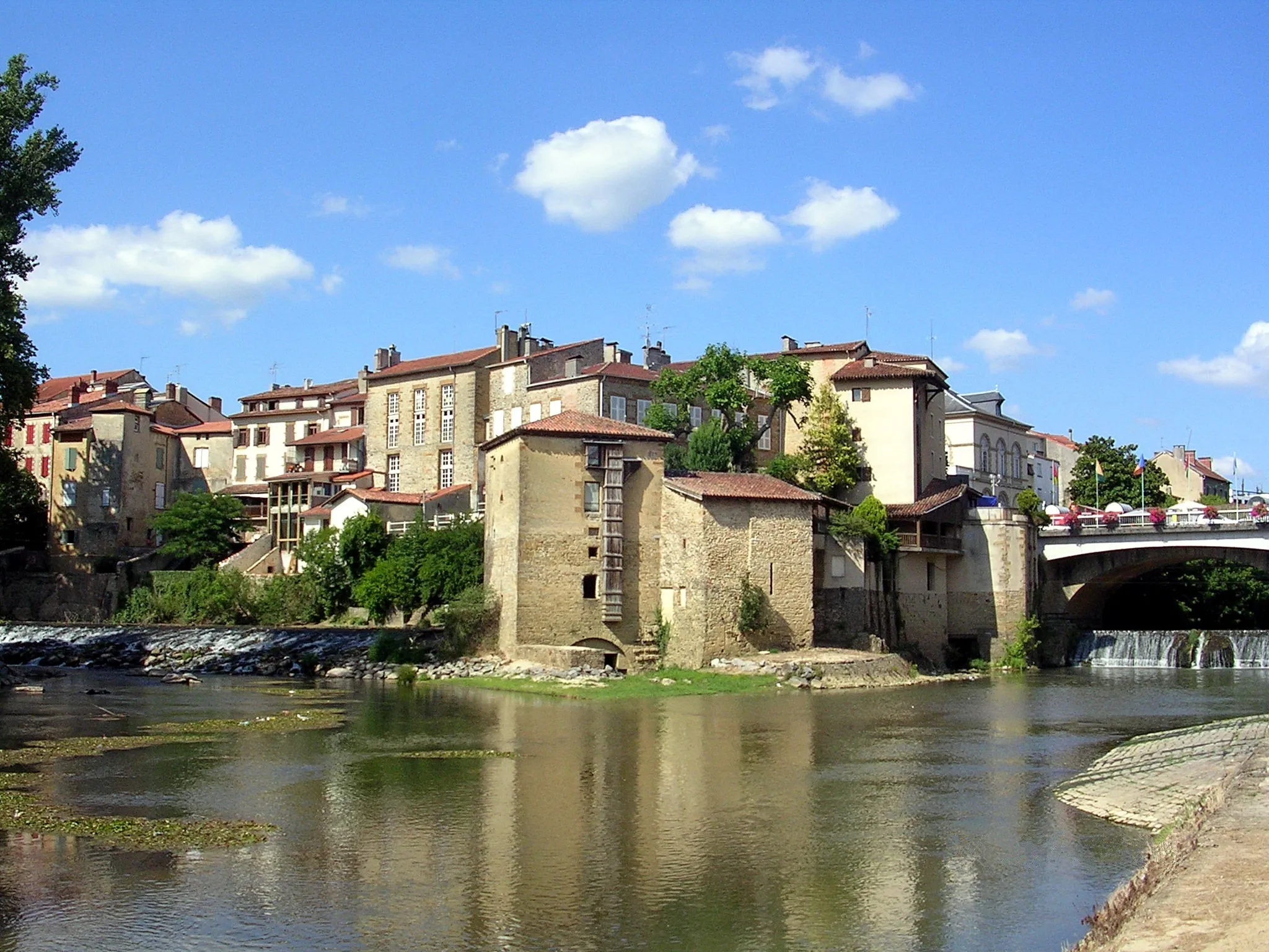
Pont Gisèle HalimiViewpointPont Gisèle Halimi, at the 45-kilometer mark, offers a unique bridge crossing and scenic views of the surrounding area.
45 km
45 km
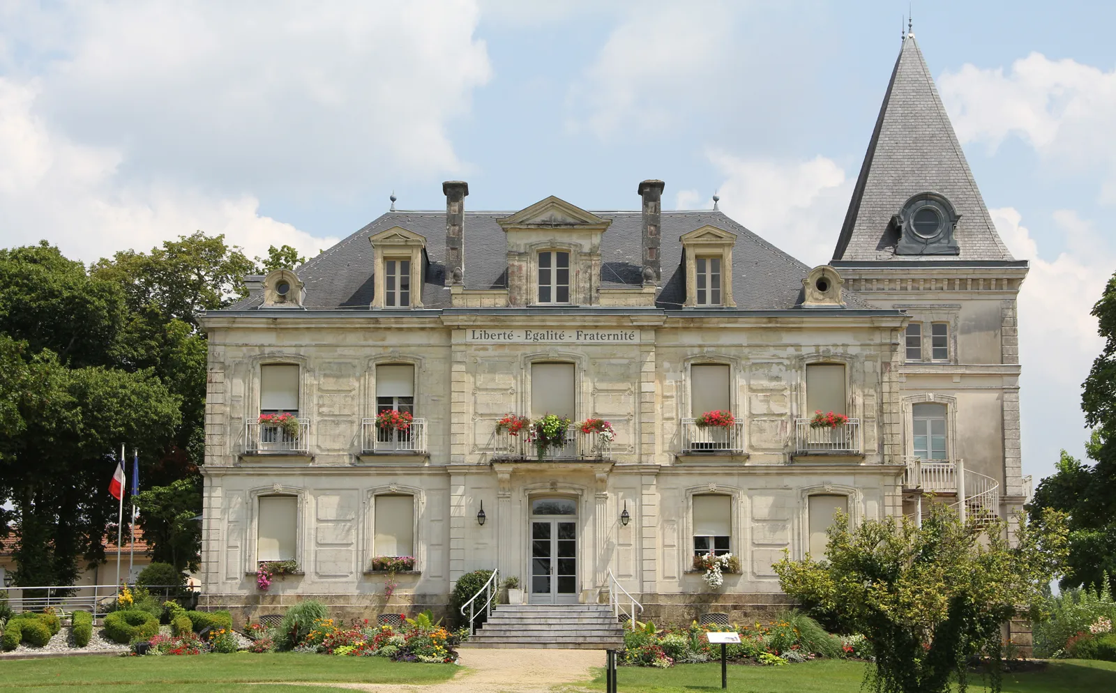
Mont-de-MarsanTownMont-de-Marsan, the starting and ending point of the route, is a vibrant city with a rich history and plenty of amenities for cyclists.
45 km
45 km
Finish: Mont-de-Marsan City centerMont-de-Marsan: Picturesque landscapes with dedicated cycling paths and trails.
Cycling routes nearby: