Scenic routes through vineyards and historic charm
Cycling routes from Rouffignac-Saint-Cernin-de-Reilhac
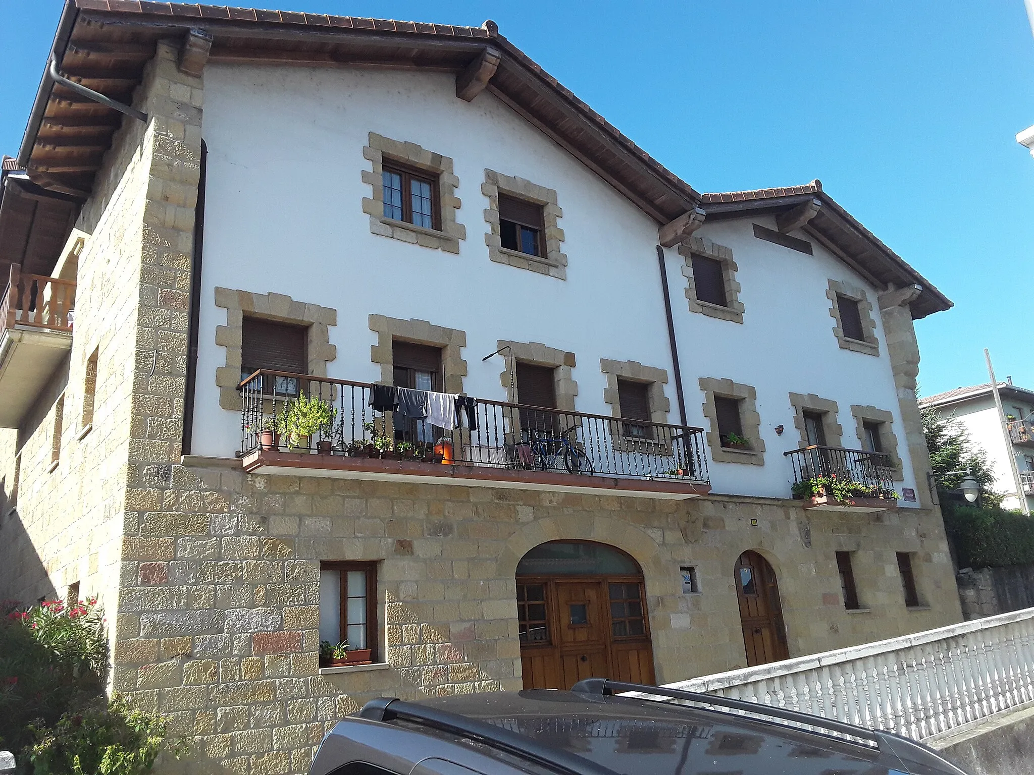
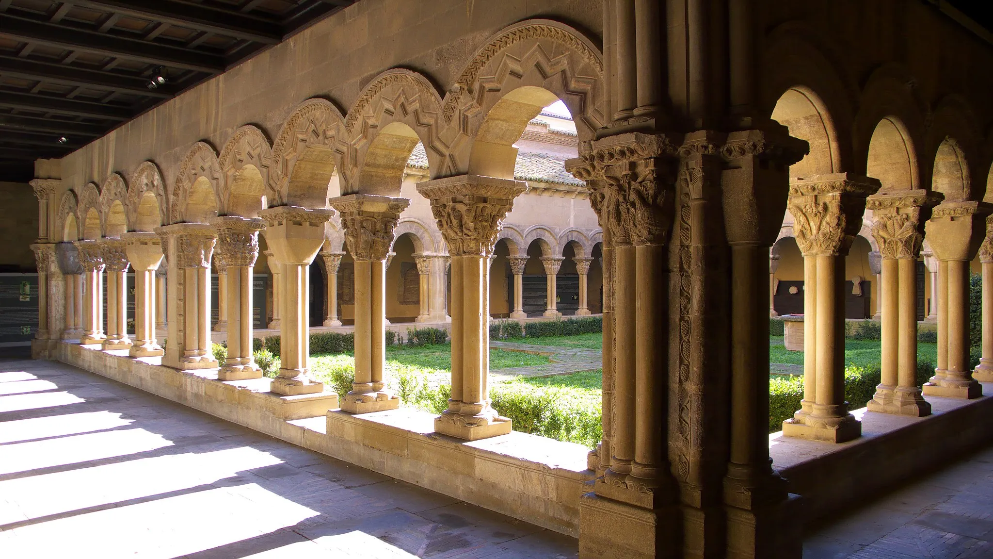
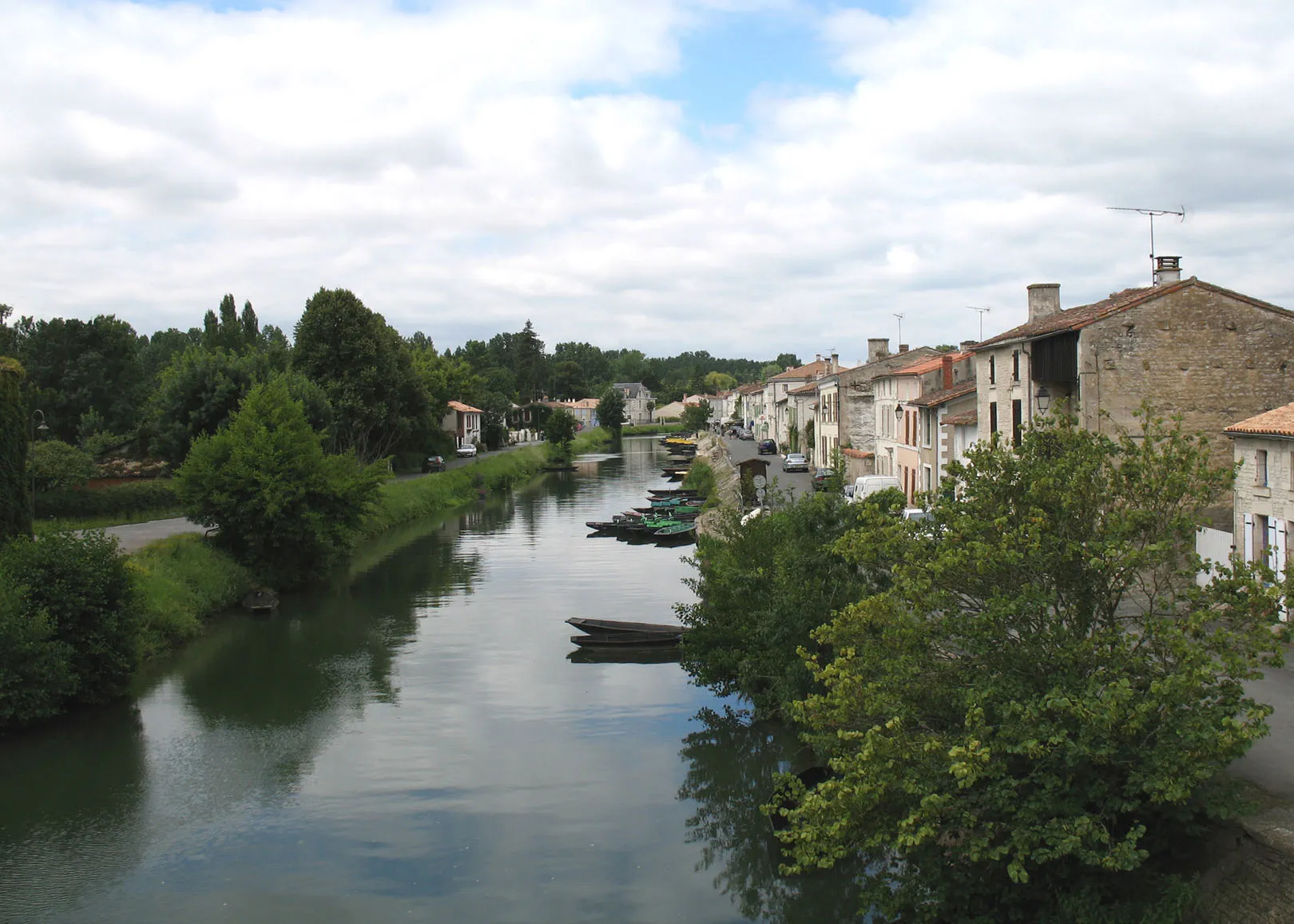
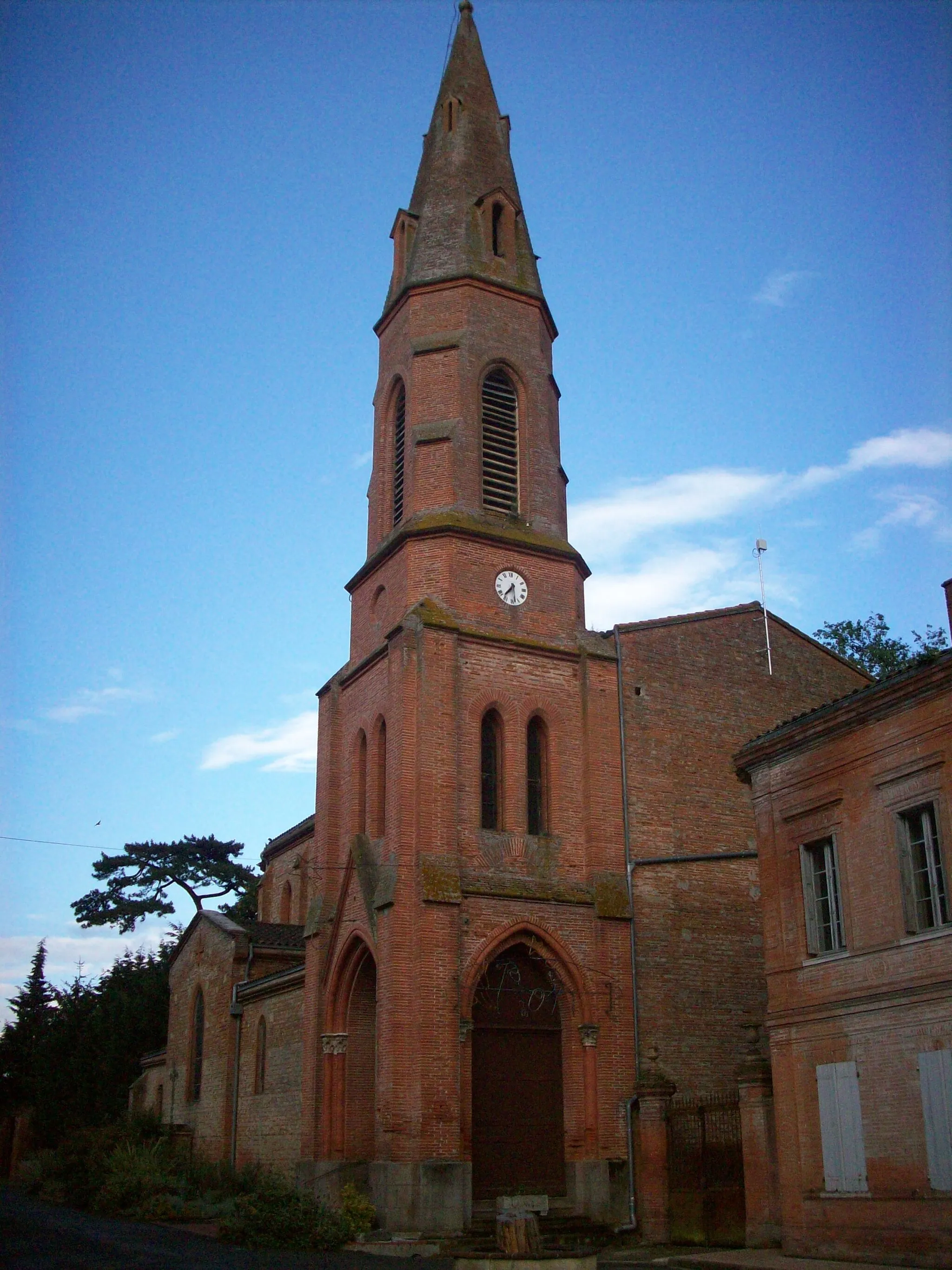
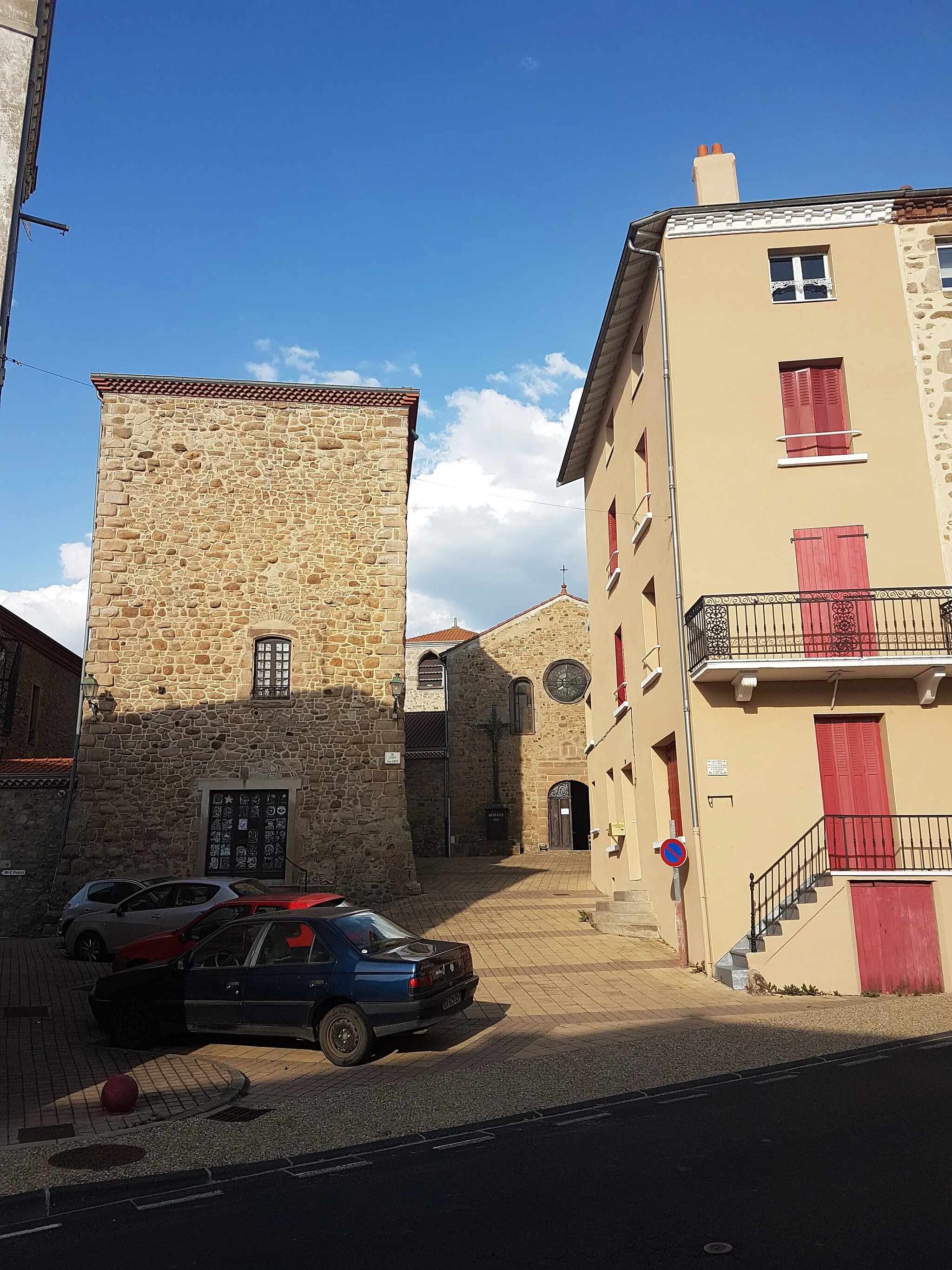
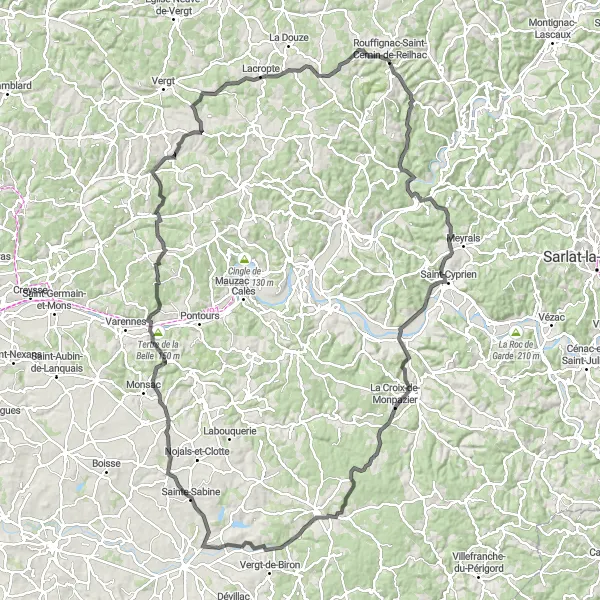
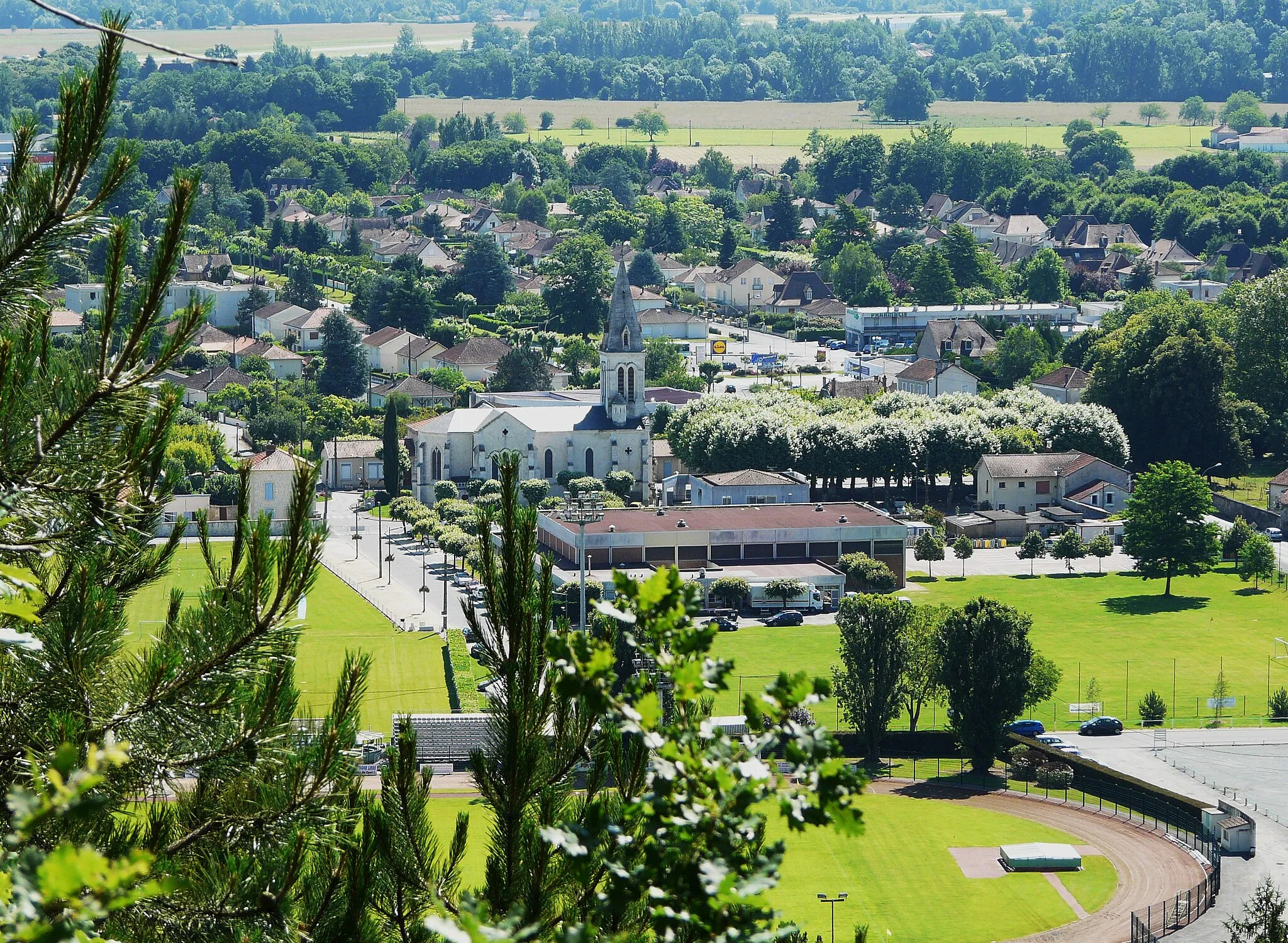
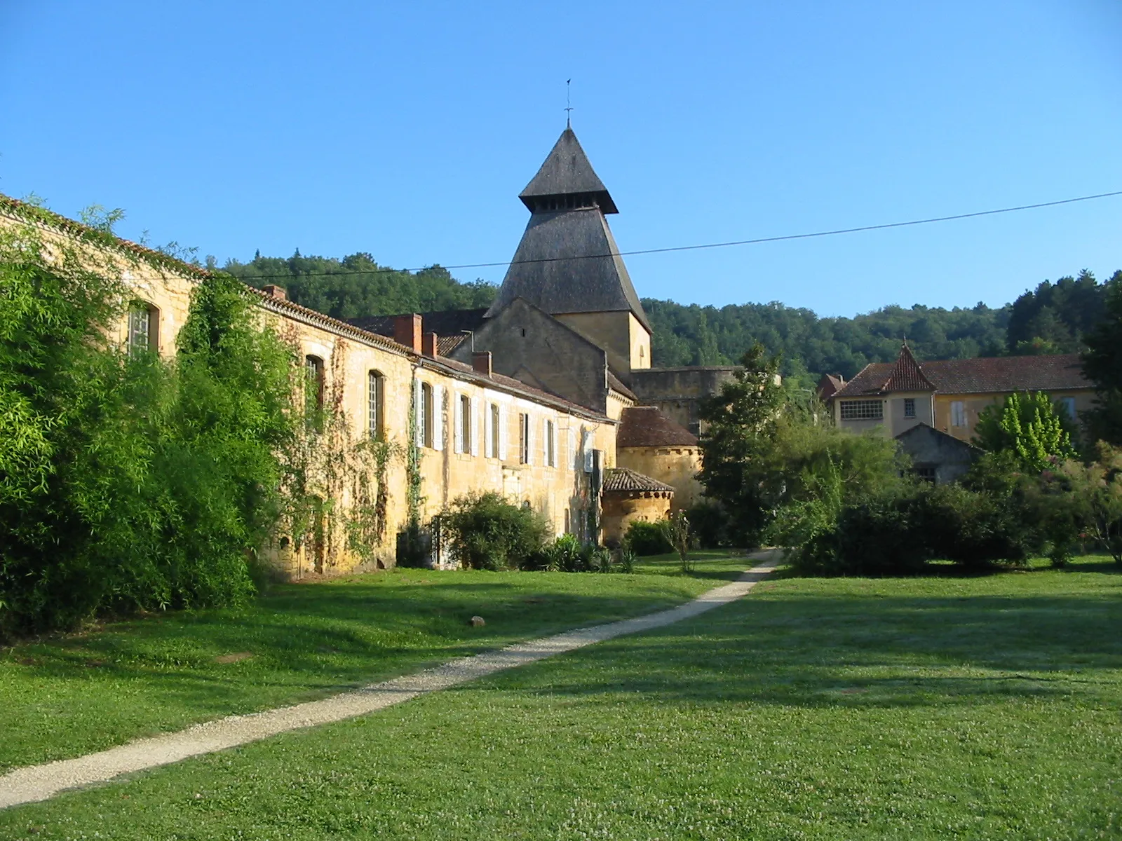
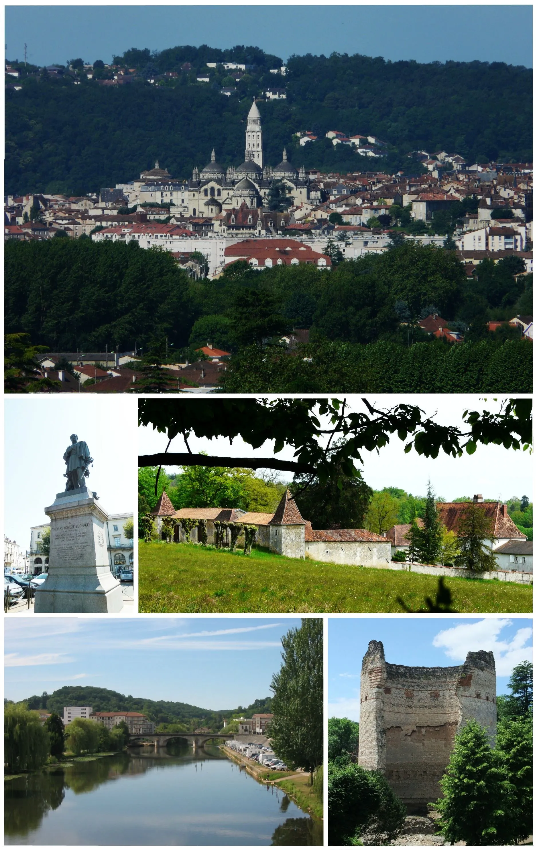
Rouffignac-Saint-Cernin-de-Reilhac, located in Aquitaine, France, offers a charming cycling experience surrounded by picturesque landscapes and historic charm. The locality is a paradise for road and gravel cyclists, with its network of scenic routes that wind through vineyards, quaint villages, and rolling hills. One of the highlights for cyclists in Rouffignac-Saint-Cernin-de-Reilhac is the renowned Lascaux Cave, a UNESCO World Heritage Site, which can be visited as part of a cycling tour. This combination of natural beauty, cultural significance, and cycling-friendly routes makes Rouffignac-Saint-Cernin-de-Reilhac an ideal destination for cyclists looking to immerse themselves in French history and countryside.
Conquer the demanding roads and experience the beauty of Aquitaine
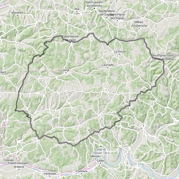
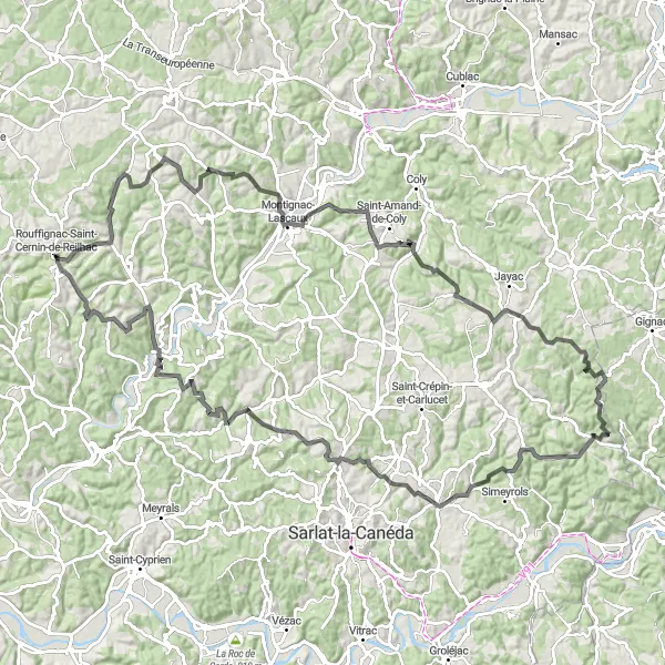
Prepare to push your limits on a 121 km road cycling route with an ascent of 1319 m. This challenging route is suitable for experienced cyclists who seek a thrilling adventure. Ride through diverse landscapes and witness the enchanting scenery of Aquitaine.
Exploring the Countryside
Experience the charming countryside of Aquitaine on this road cycling route.
This round-trip cycling route near Rouffignac-Saint-Cernin-de-Reilhac takes you through the beautiful Aquitaine countryside. Along the way, you'll pass by quaint villages and stunning landscapes. The route is moderately challenging and offers a fantastic opportunity to explore the region on two wheels. With a total ascent of 1544 meters and a distance of 107 kilometers, this route will satisfy the adventurer in you.
Immerse yourself in the beauty of the Dordogne Valley on this long-distance cycling adventure.
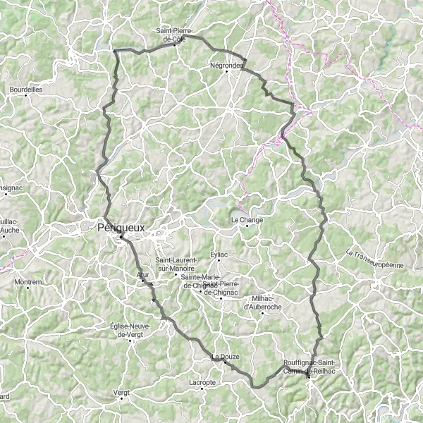
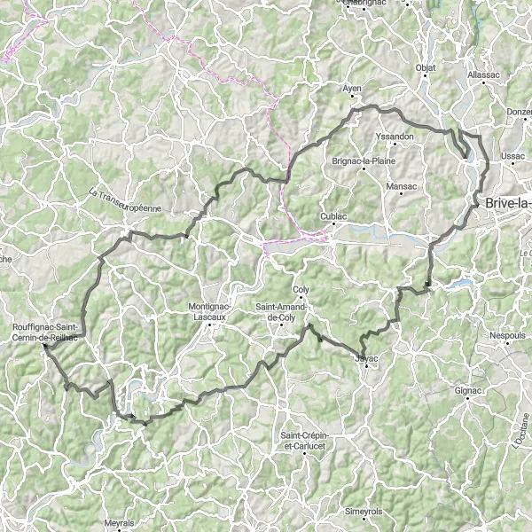
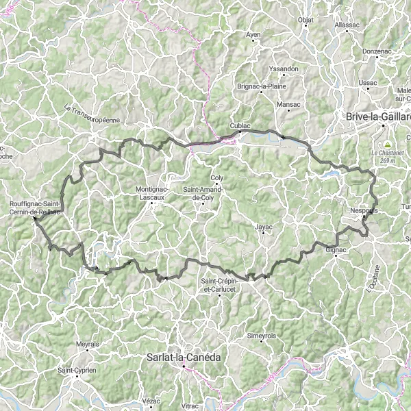
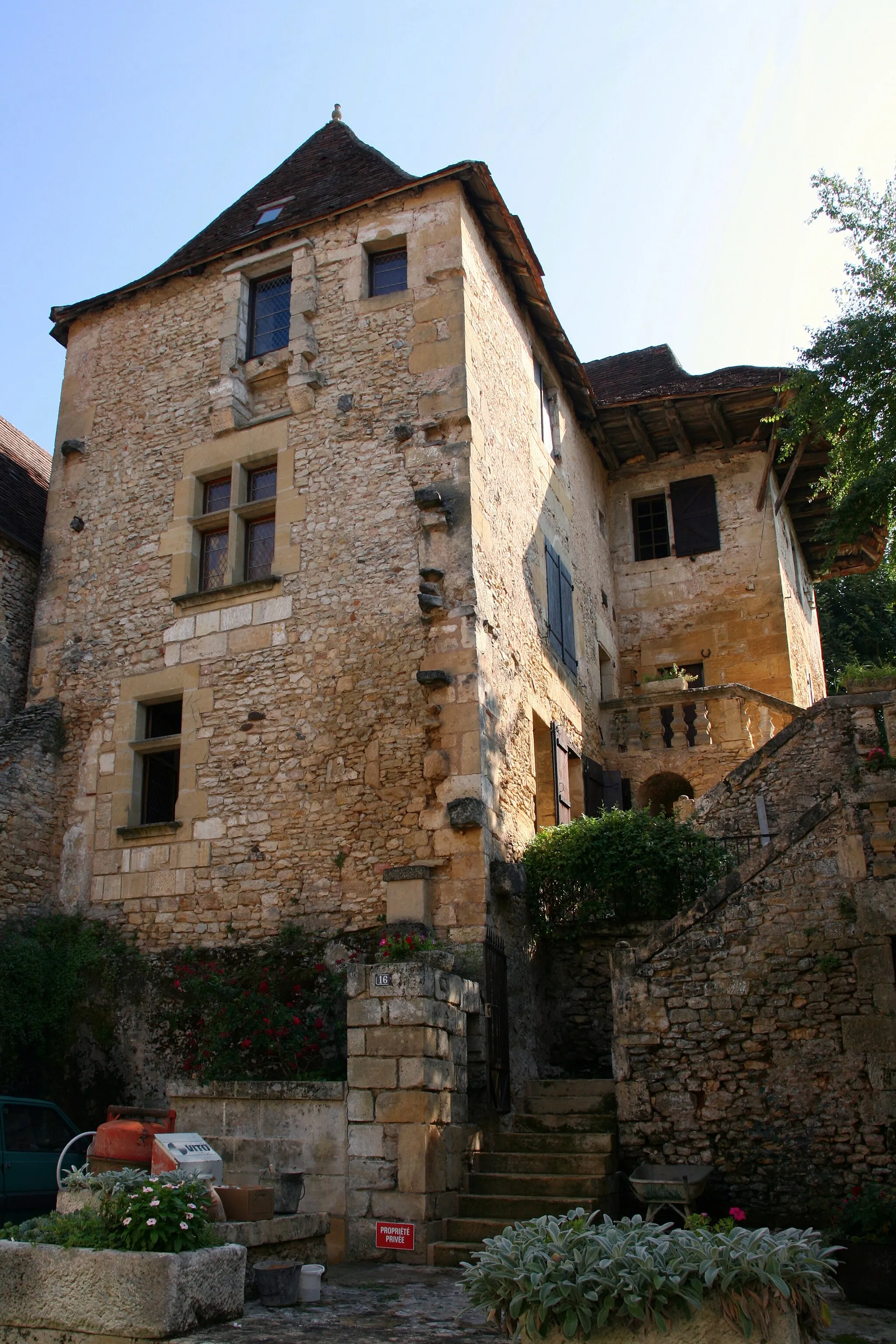
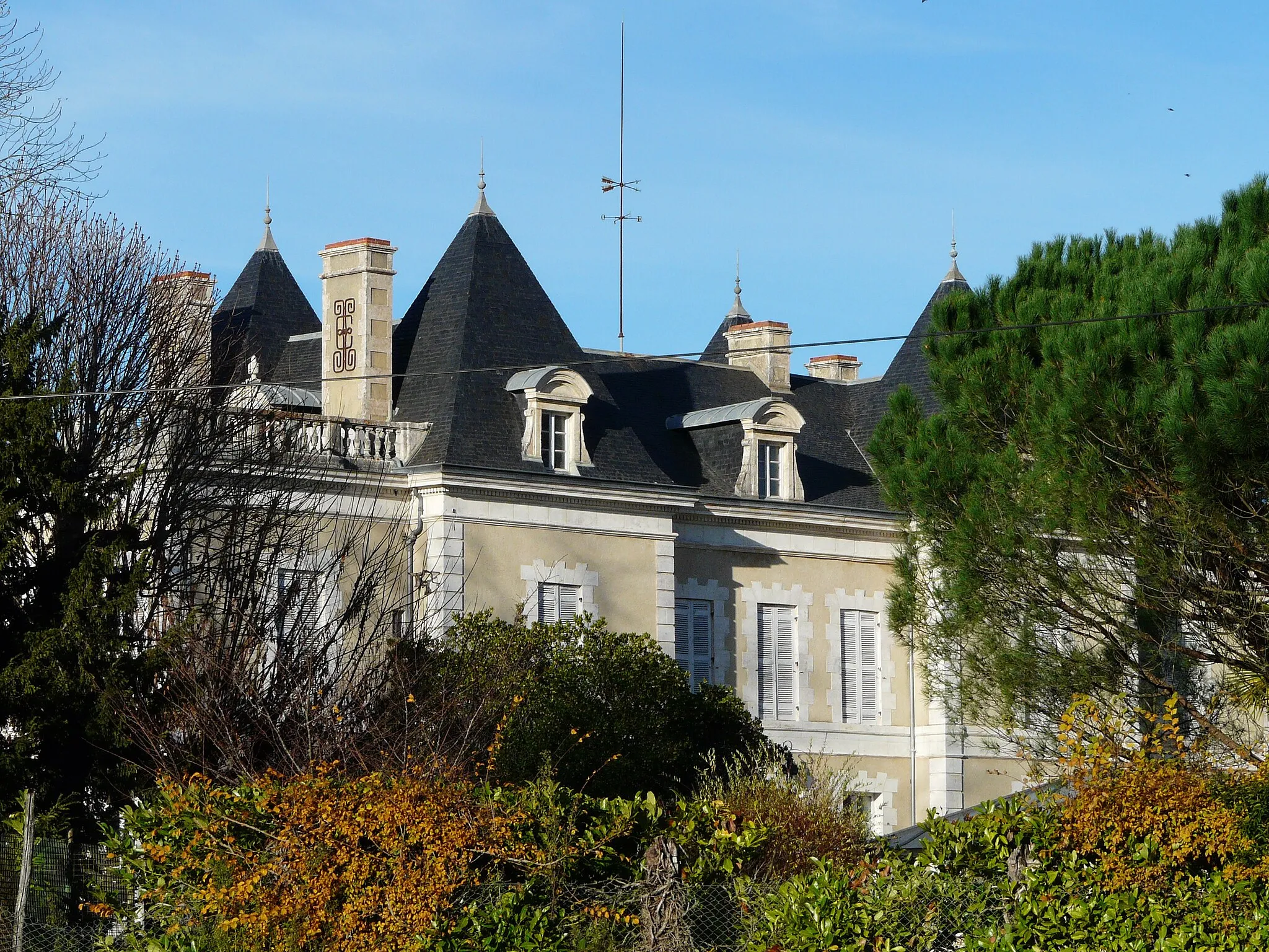
The Dordogne Valley Explorer is a challenging road route spanning 143 kilometers, with an ascent of 2137 meters. This route takes you through some of the most picturesque landscapes in Aquitaine and offers breathtaking views of the Dordogne Valley. Starting near Rouffignac-Saint-Cernin-de-Reilhac, the route passes through La Bachellerie, Villac, Varetz, and Larche, among others. Highlights of the ride include the Château de Salignac and La Cassagne. Get ready for a thrilling and rewarding cycling experience as you explore the stunning landscapes and historic sites of the Dordogne region.
Embark on an adventurous gravel escape through Aquitaine's countryside
This 76 km gravel cycling route promises an exciting journey through the diverse landscapes of Aquitaine. With an ascent of 1146 m, this route is ideal for adventurous cyclists seeking a mix of challenging terrain and breathtaking views. Experience the thrill of riding on unpaved roads and immerse yourself in the beauty of the region.
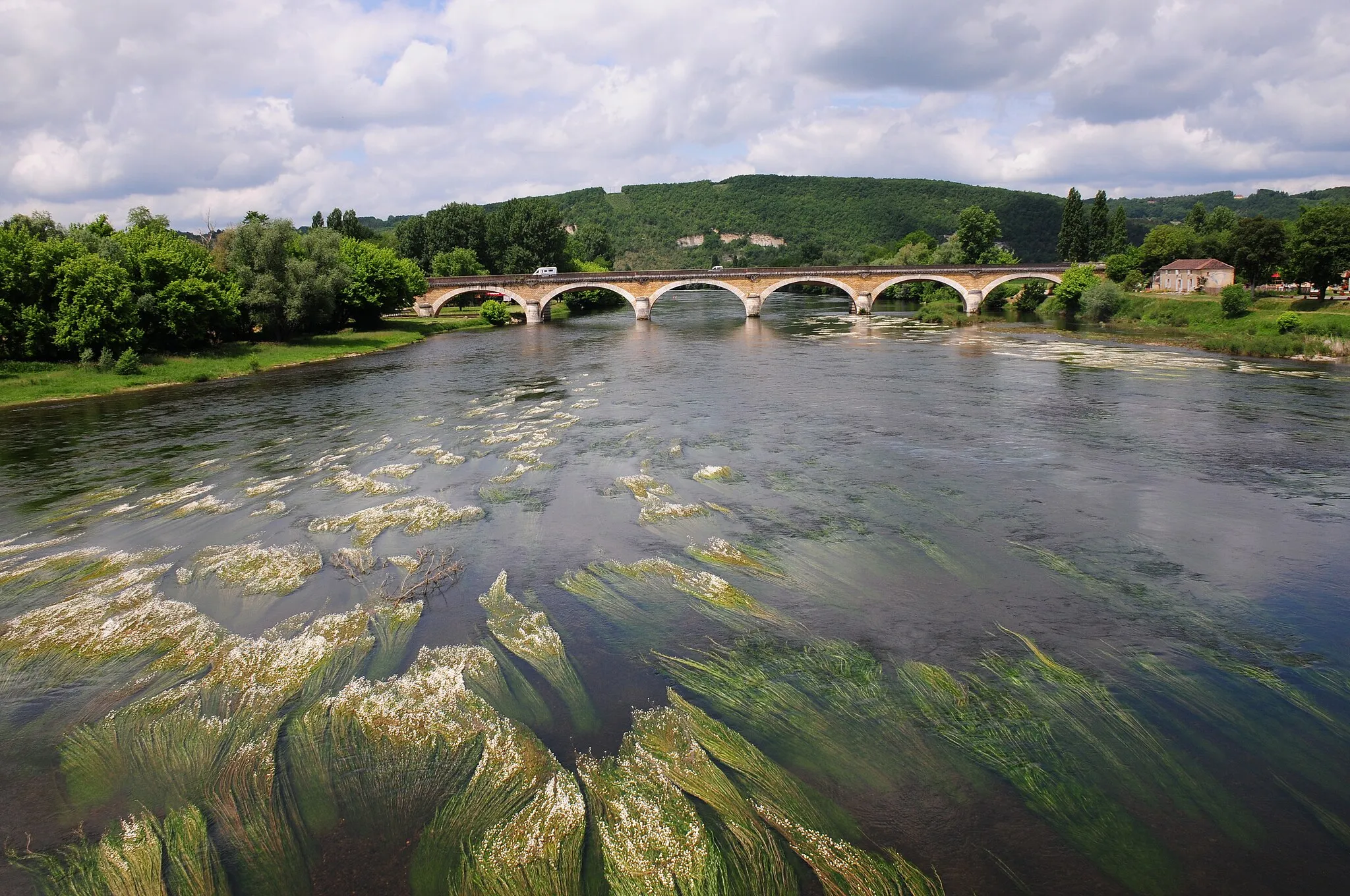
Embark on a journey along the beautiful Vézère River and discover its mesmerizing landscapes.
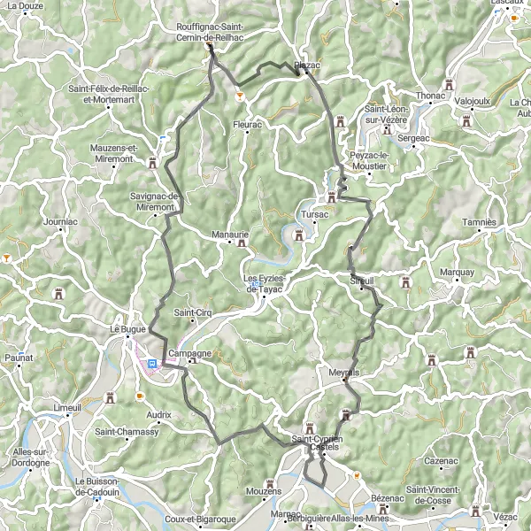
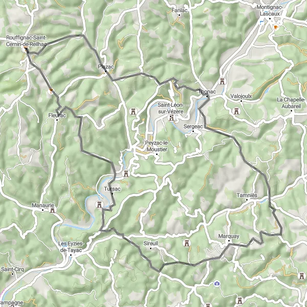
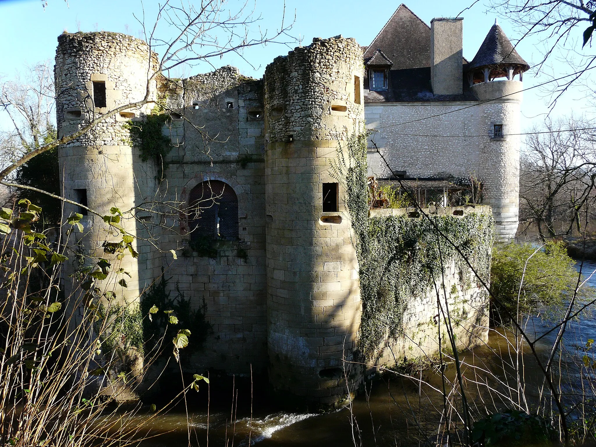
The Exploring the Vézère River route offers a shorter but no less enchanting experience. With a distance of 69 kilometers and an ascent of 1088 meters, this road route takes you along the banks of the scenic Vézère River. The route starts near Rouffignac-Saint-Cernin-de-Reilhac and passes through Plazac, Sireuil, and Savignac-de-Miremont, among others. Along the way, you'll encounter highlights such as Pont du Garrit and the Château in Sireuil. Enjoy the beauty of the Vézère River and its charming surroundings as you pedal through this captivating region.
Châteaux and Nature
Embark on a scenic road cycling adventure exploring châteaux and natural beauty.
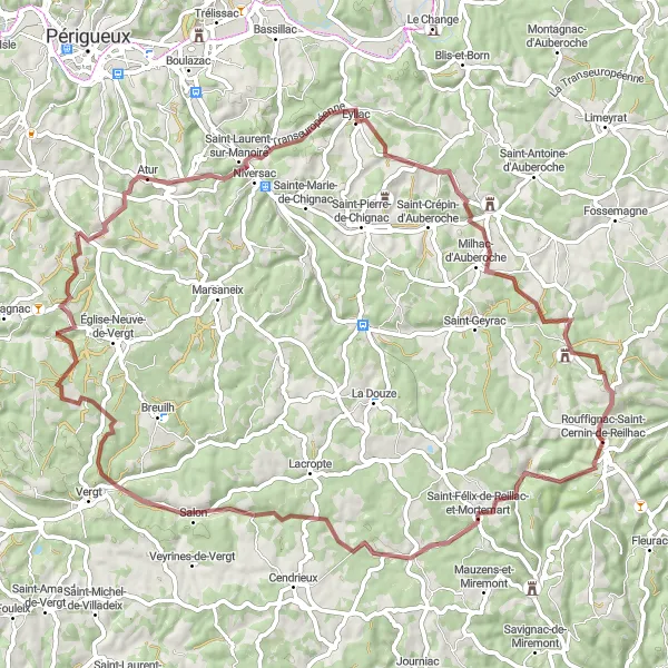
Get ready for a thrilling road cycling adventure near Rouffignac-Saint-Cernin-de-Reilhac, as you pedal through stunning landscapes and visit impressive châteaux. With an ascent of 1902 meters and a distance of 121 kilometers, this route offers a good challenge for experienced cyclists. Explore the Aquitaine region and soak in the picturesque views along the way.
The Scenic Road Loop
Tour through the breathtaking landscapes and peaceful villages
Enjoy the beauty of Aquitaine as you pedal along this 58 km road cycling route. With an ascent of 989 m, this route offers a moderate challenge for cycling enthusiasts. Immerse yourself in the idyllic countryside scenery and experience the charm of the local villages.
Sarlat Hill Ride
Take on the challenging Sarlat Hill Ride and test your cycling skills.
The Sarlat Hill Ride is a demanding cycling route near Rouffignac-Saint-Cernin-de-Reilhac that measures 139 kilometers in total distance and 1982 meters in ascent. This road route is suitable for experienced cyclists who enjoy a good climbing challenge. Along the way, you'll encounter highlights such as the Le Lardin, Estivals, and the Château de Salignac. The route takes you through beautiful countryside and offers stunning views throughout. Prepare to push yourself to the limits on this challenging ride.
The Gravel Adventure
Explore the scenic routes and historical sites near Rouffignac-Saint-Cernin-de-Reilhac
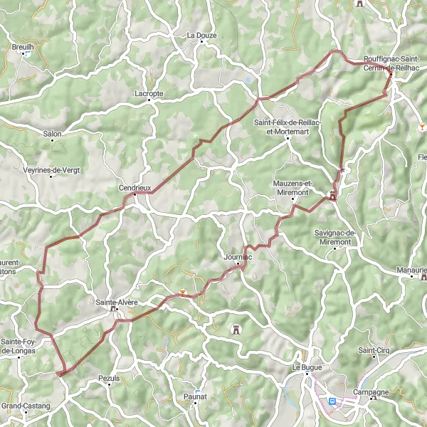
Discover the fascinating countryside of Aquitaine as you embark on this gravel cycling adventure. With a distance of 57 km and an ascent of 807 m, this route offers a good challenge for well-trained amateurs. Pedal through picturesque villages and enjoy the breathtaking views along the way.
Dordogne Valley Loop
Explore the picturesque Dordogne valley on this scenic cycling route.
The Dordogne Valley Loop is a beautiful cycling route that takes you through the stunning countryside of Aquitaine in France. With a total distance of 141 kilometers and an ascent of 1468 meters, this route is suitable for experienced cyclists looking for a challenging ride. The route starts near Rouffignac-Saint-Cernin-de-Reilhac and takes you through charming villages, rolling hills, and scenic landscapes. Along the way, you'll encounter highlights such as the Château de Tayac, Monplaisant, and the Tertre de la Belle.
Cycling routes nearby:

Nearby regions: