Castles and Ruins
A gravel cycling route starting from Celles-sur-Durolle
Discover history and picturesque landscapes
Map
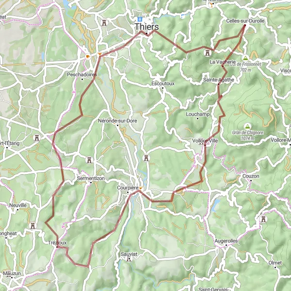
The Castles and Ruins route takes you on a journey through historical sites and picturesque landscapes. This 60-kilometer gravel route offers a moderate challenge, with a total ascent of 1309 meters. Explore the Château de Vollore, a medieval castle rich in history, and take in the stunning views from its hilltop location. Cycle through Trézioux, Thiers, Table d'orientation, and the Ruines du Chêteau de Montguerlhe, each offering its own unique charm and interesting history.
gravel
60 km
1309 m
Tough
Route profile
Highlights on the route
0 km
0 km
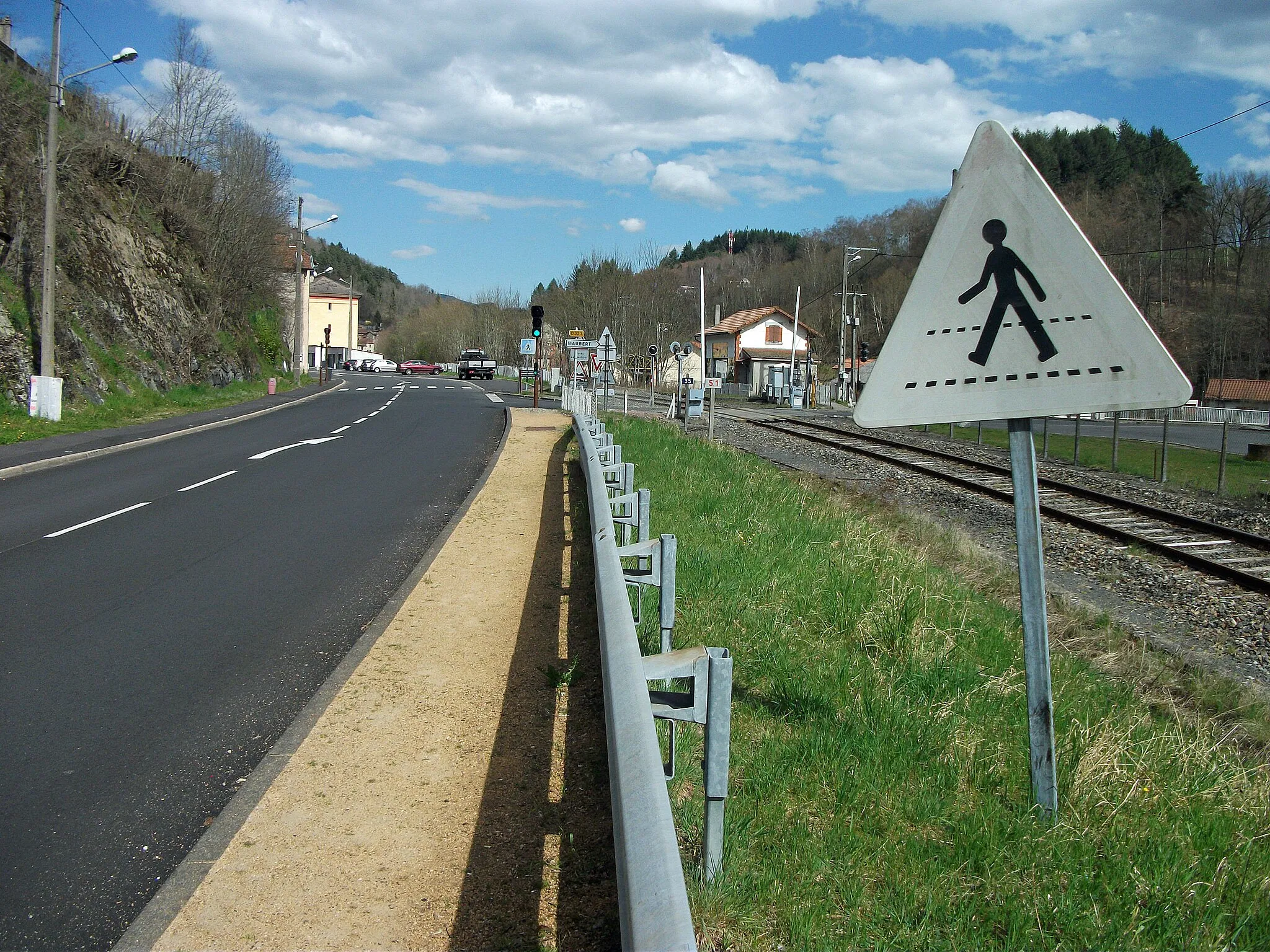
Start: Celles-sur-Durolle Village centerCelles-sur-Durolle: Picturesque countryside and access to Montagne Bourbonnaise.
Situated in the Auvergne region of France, Celles-sur-Durolle offers a pleasant cycling experience for road and gravel cyclists. The locality is surrounded by beautiful countryside, featuring rolling hills and charming villages. Cyclists can enjoy riding on the well-maintained roads and exploring the picturesque routes that pass through the region's landscapes. While there are no famous cycling spots or well-known climbs directly in Celles-sur-Durolle, the area offers proximity to the Montagne Bourbonnaise, known for its challenging climbs and stunning views. Overall, Celles-sur-Durolle is a great destination for cyclists looking to experience the beauty of the Auvergne region.11 km
11 km
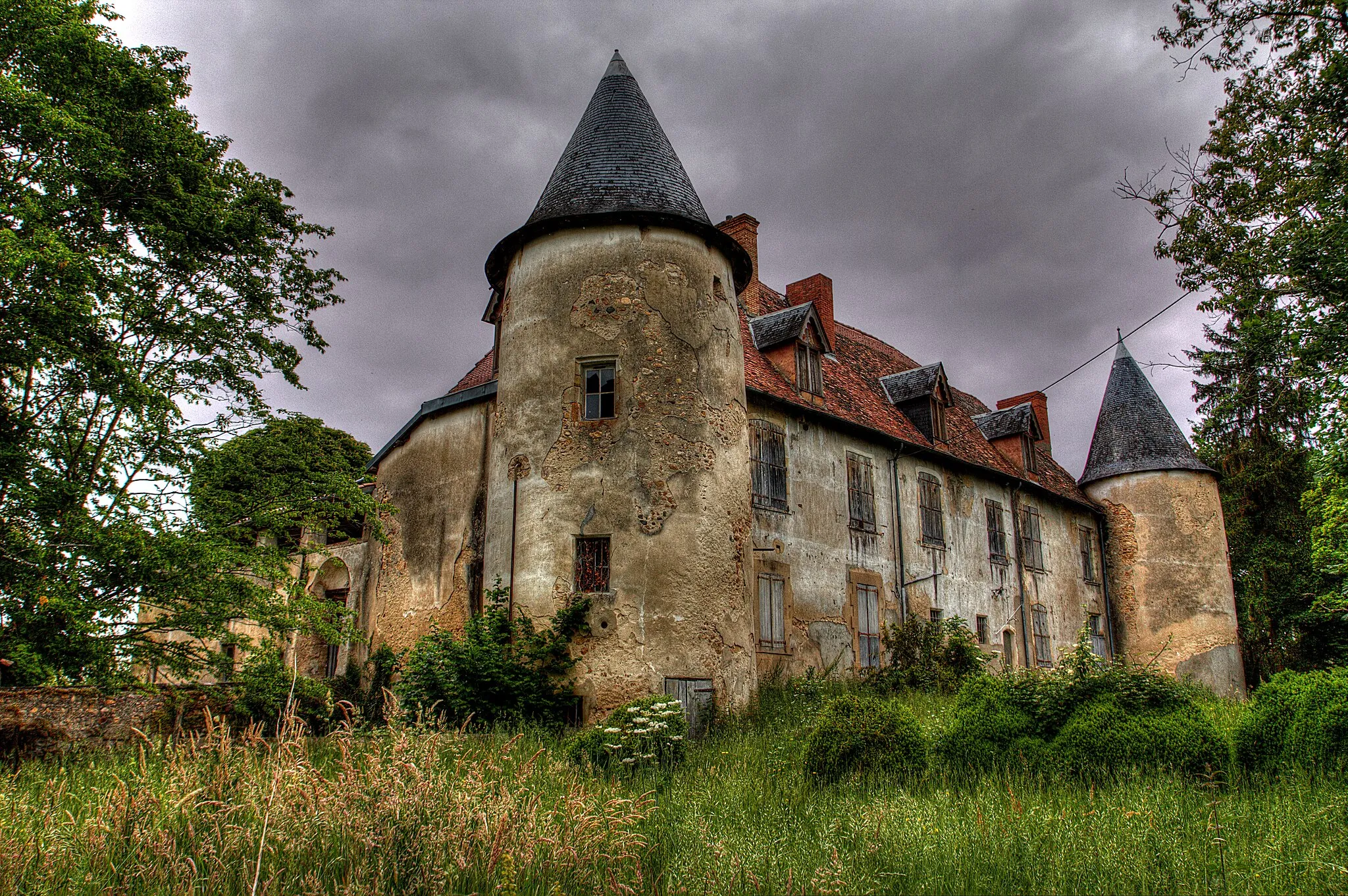
Château de VolloreCastleVisit the impressive Château de Vollore, perched on a hill and offering panoramic views of the surrounding landscapes.
30 km
30 km
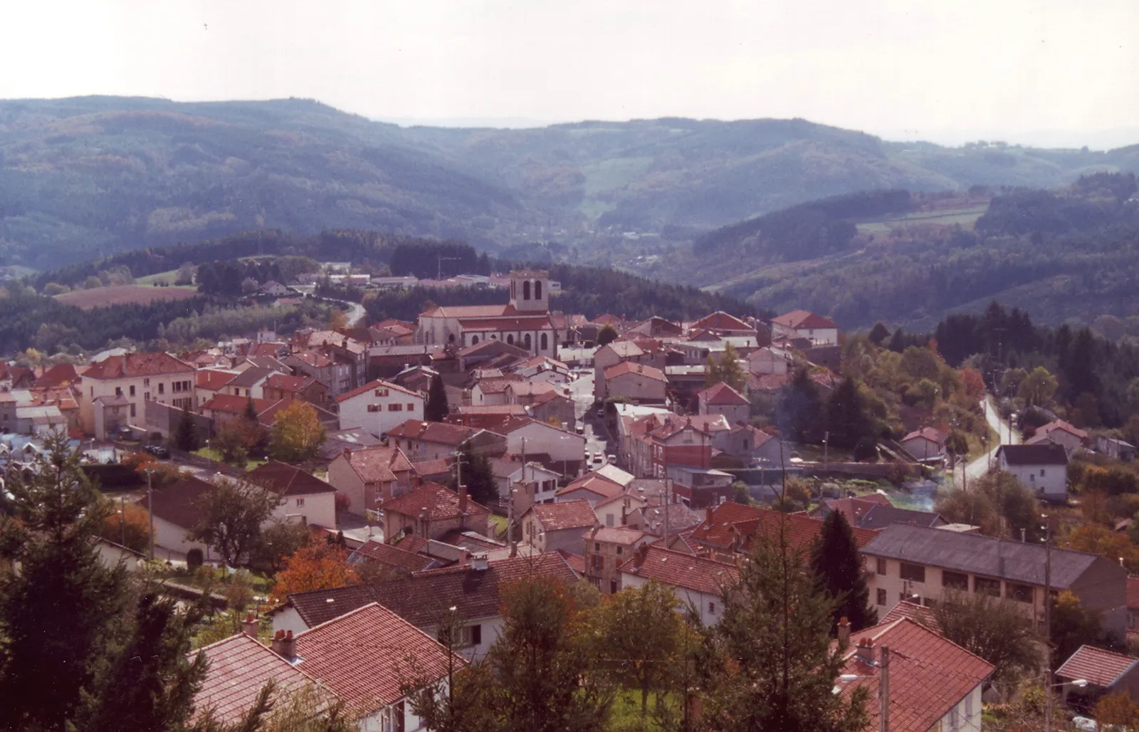
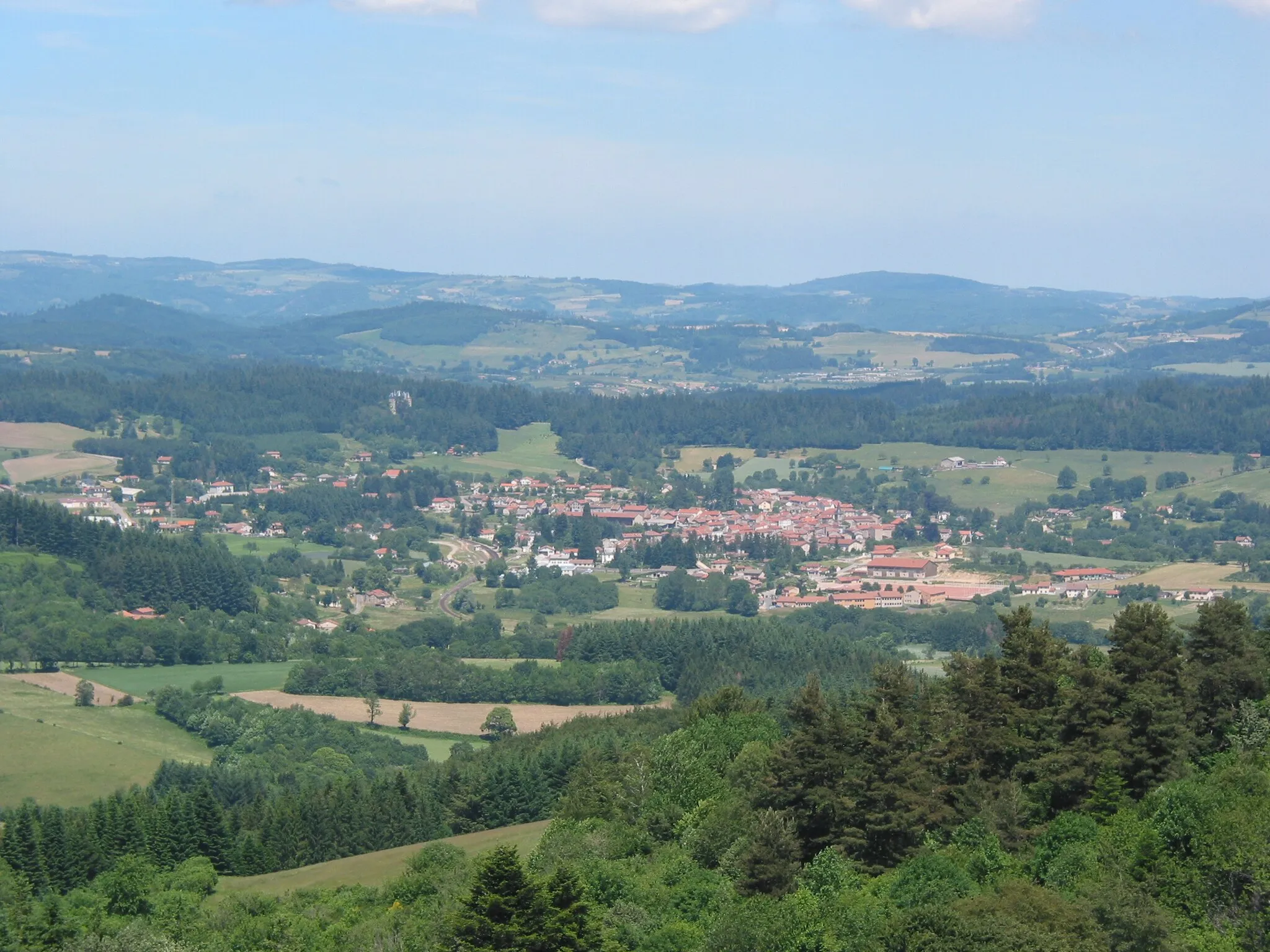
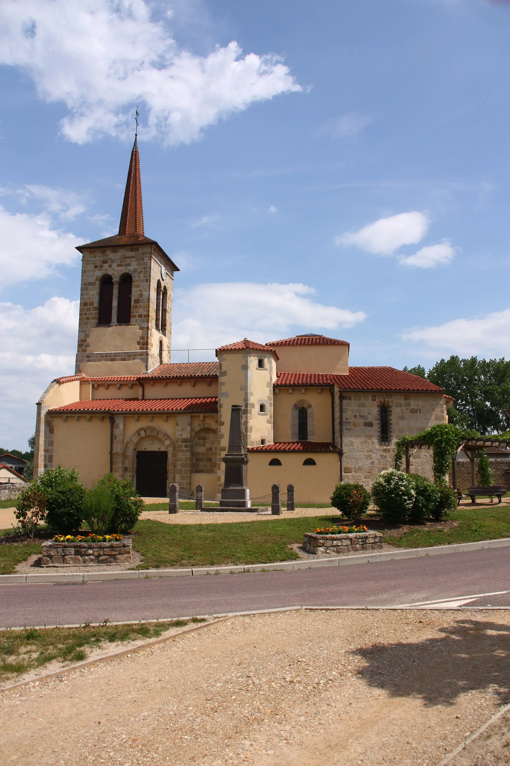
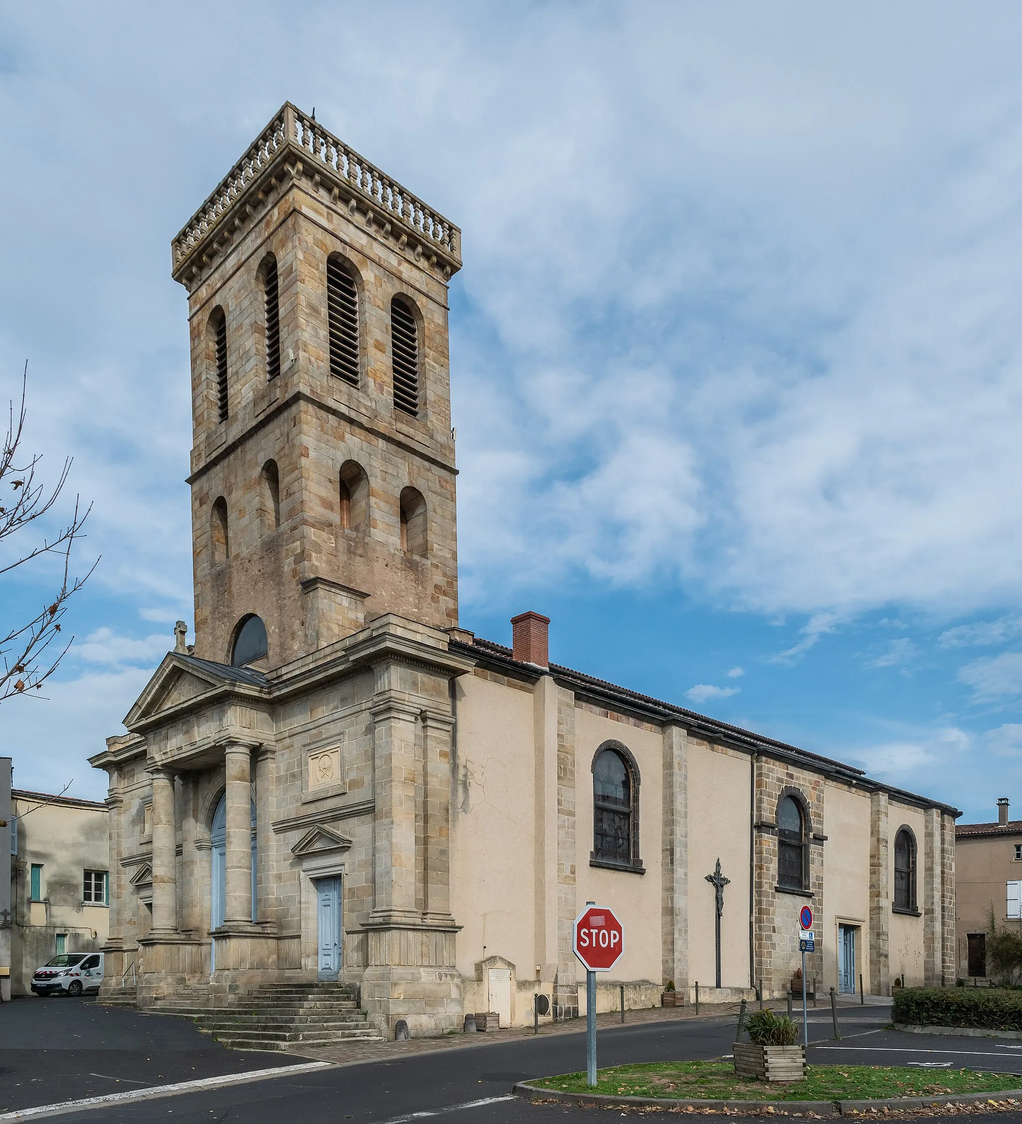
TréziouxVillageExperience the small village of Trézioux and admire its unique architectural charm.
49 km
49 km
ThiersTownExplore Thiers, the cutlery capital of France and home to a fascinating blade-making tradition.
49 km
49 km
Table d'orientationViewpointMake a stop at the Table d'orientation viewpoint for breathtaking panoramic views of the region.
56 km
56 km
Ruines du Chêteau de MontguerlheCastle RuinsDiscover the ruins of the Château de Montguerlhe, an ancient castle in a stunning natural setting.
60 km
60 km
Finish: Celles-sur-Durolle Village centerCelles-sur-Durolle: Picturesque countryside and access to Montagne Bourbonnaise.
Cycling routes from Celles-sur-Durolle:
Cycling routes nearby: