Discover the Cantal Region
A road cycling route starting from Naucelles
Take a scenic ride through the stunning landscapes of Cantal
Map
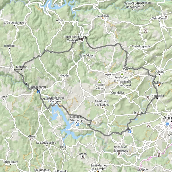
Immerse yourself in the natural beauty of Cantal with this 72 km route and an ascent of 1119 m. Pedal through charming villages, pass by picturesque lakes, and climb rewarding hills. Suitable for intermediate cyclists, this route offers a balance of challenging sections and scenic vistas.
road
72 km
1119 m
Tough
Route profile
Highlights on the route
0 km
0 km
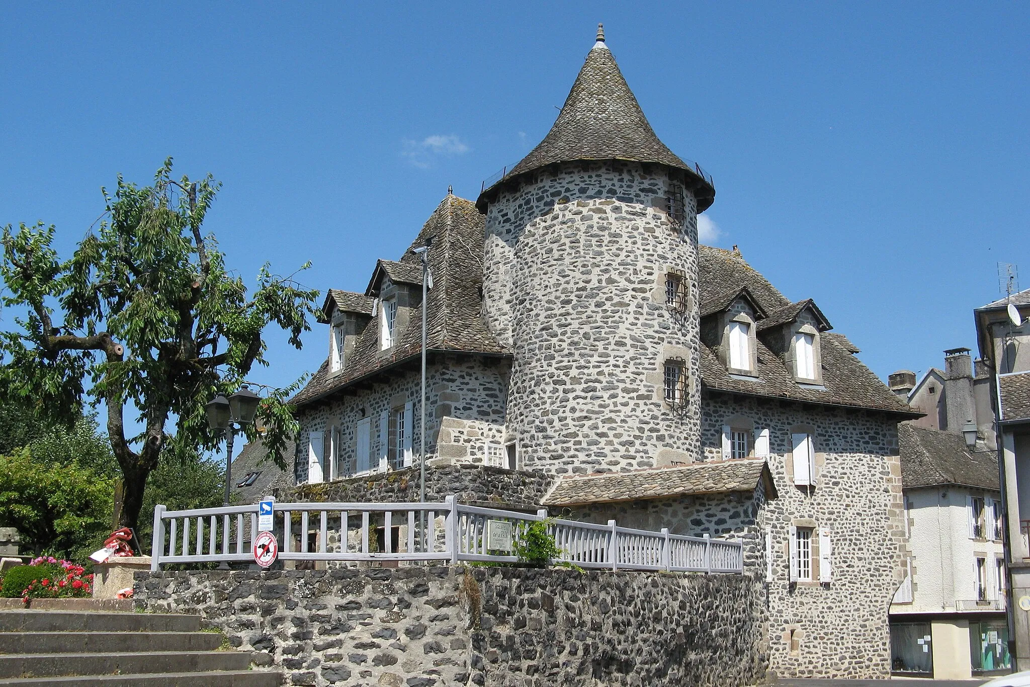
Start: Naucelles Village centerNaucelles: Cyclist's paradise with iconic climbs in stunning natural surroundings.
Naucelles, located in Auvergne region of France, is a cyclist's paradise. The locality offers a wide range of road cycling routes and beautiful scenery. It is home to some of the most popular cycling climbs in the region, including Puy Mary. The landscape is characterized by stunning mountains and rolling hills, providing a challenging yet rewarding experience for cyclists. Naucelles is a popular destination for cycling enthusiasts from around the world, drawing both professional riders and recreational cyclists. With its diverse terrain and iconic climbs, Naucelles is a must-visit destination for cyclists seeking thrilling rides.7 km
7 km
YtracVillageMake a stop at Ytrac and explore its charming streets and historic buildings.
23 km
23 km
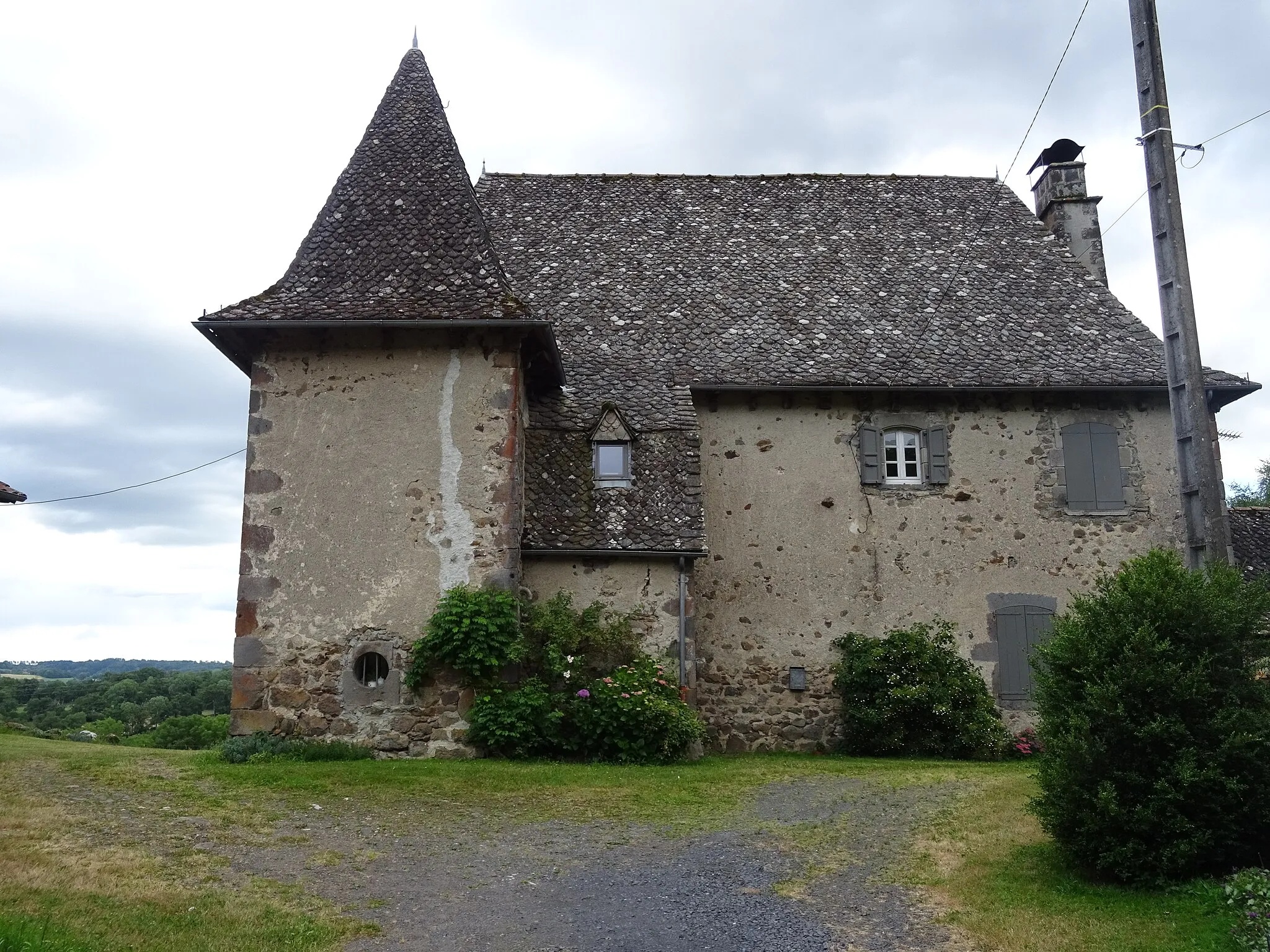
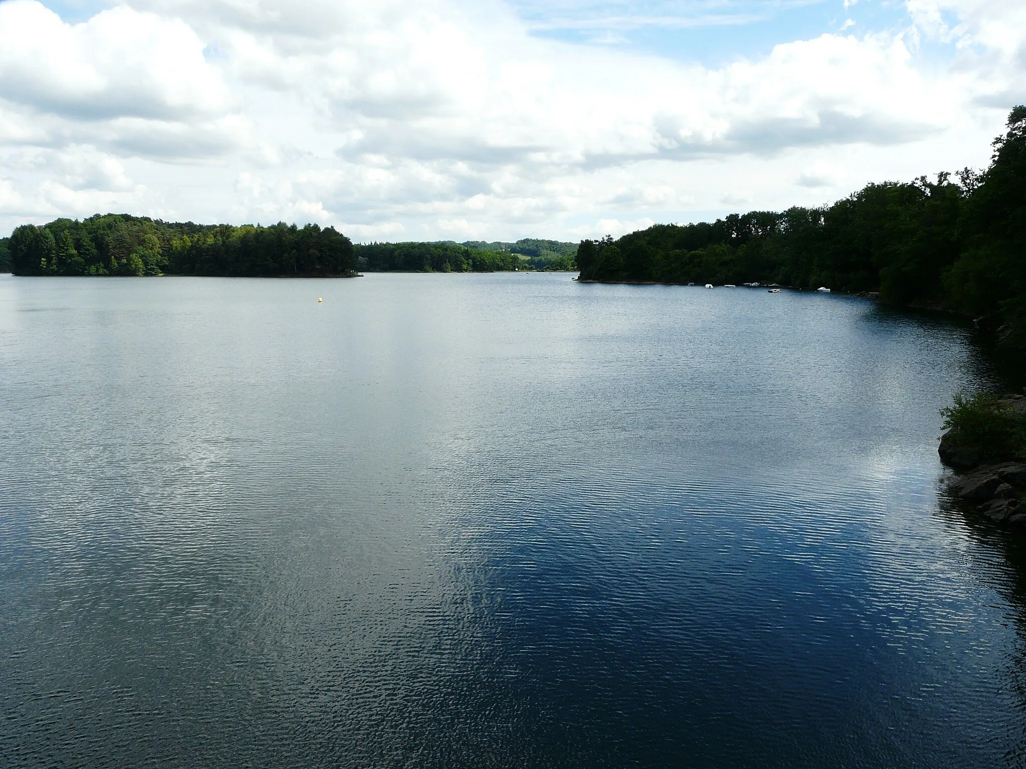
Saint-Étienne-CantalèsVillageCycle through Saint-Étienne-Cantalès and enjoy views of the beautiful lake that sits at its heart.
36 km
36 km
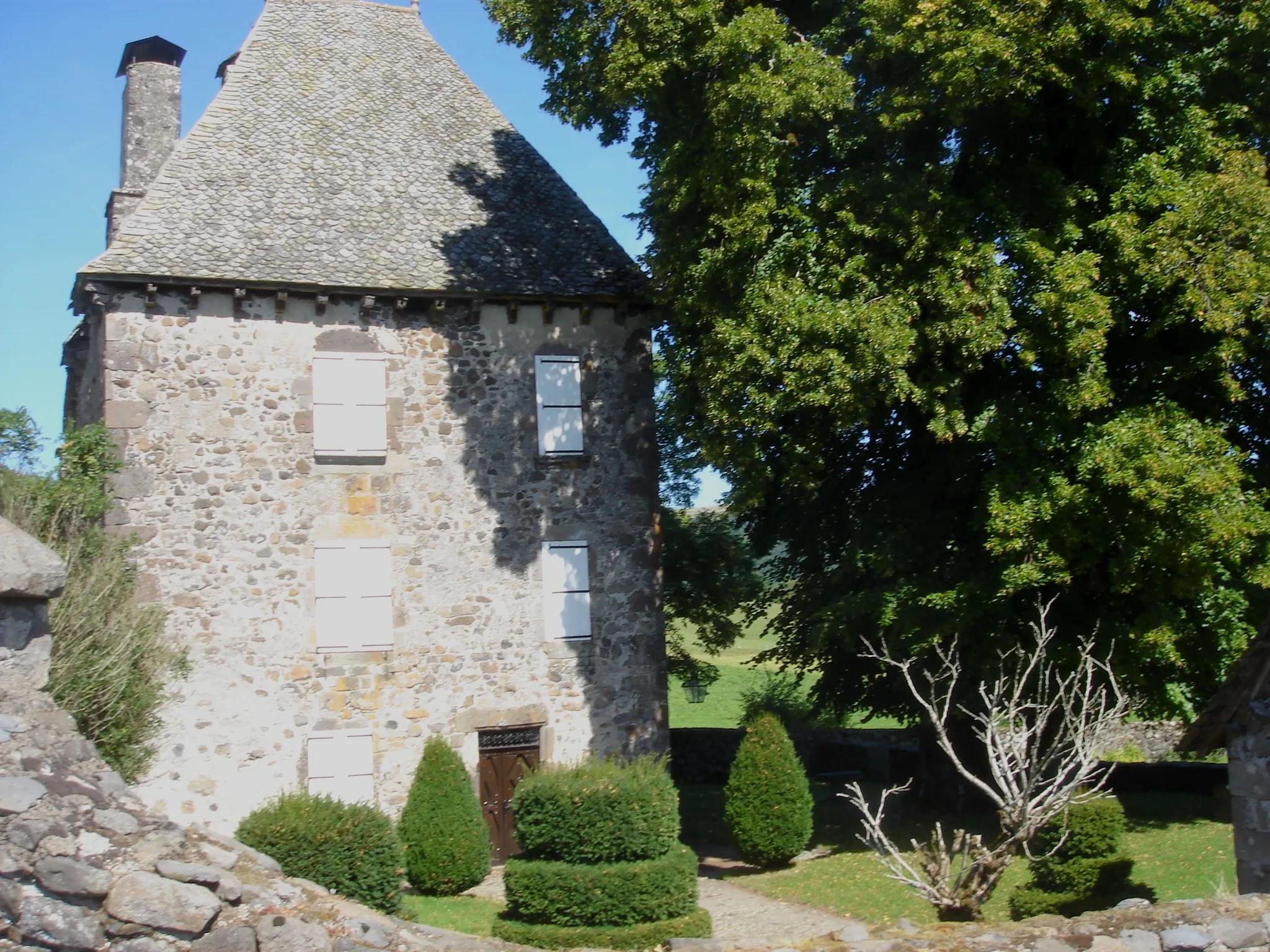
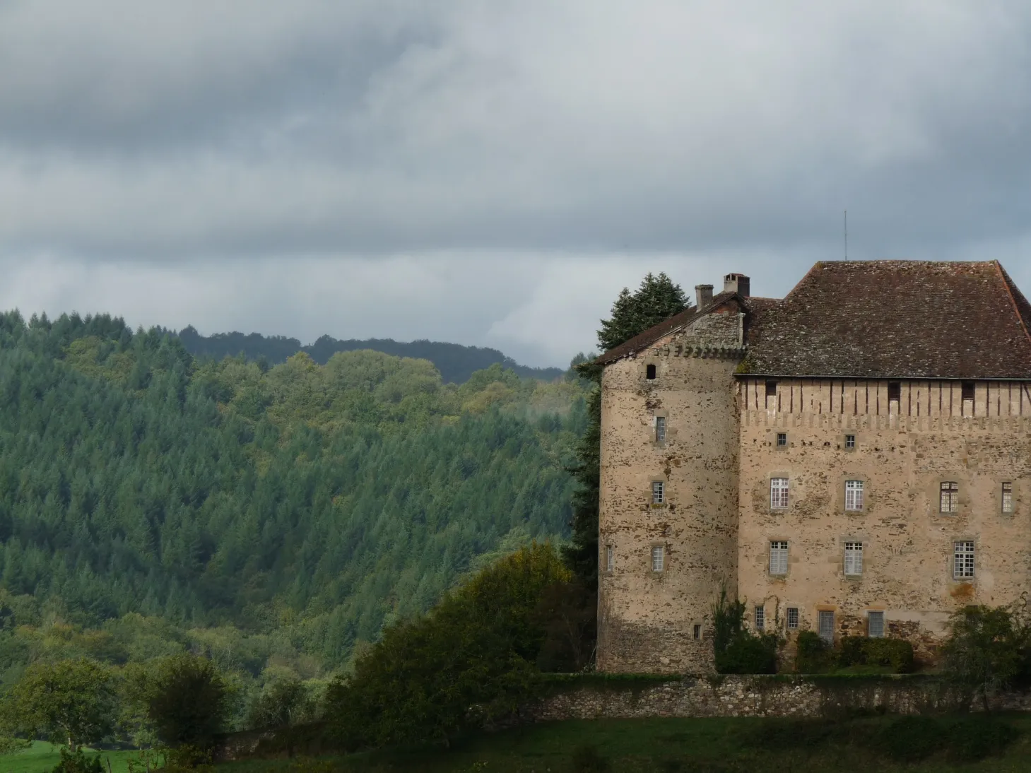
MontvertVillageAscend to Montvert and take in the breathtaking panoramic views of the rolling hills and valleys below.
54 km
54 km
Puy Gaillard625 mPeakMarvel at Puy Gaillard, a prominent hill with a strategic history and stunning natural surroundings.
68 km
68 km
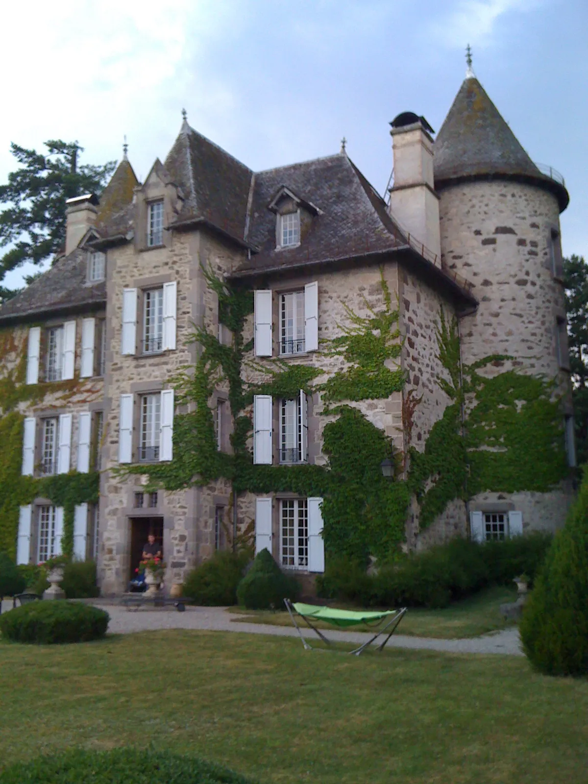
JussacVillagePass through Jussac and soak up its rich history and idyllic setting.
72 km
72 km
Finish: Naucelles Village centerNaucelles: Cyclist's paradise with iconic climbs in stunning natural surroundings.
Cycling routes from Naucelles:
Valleys and Villages Tour The Ultimate Auvergne Challenge The Road to Cantalès Lake Discover the Cantal Region Climbing the Misty Mountains Châteaux and Countryside Nature and Heritage Ride The Ultimate Mountain Challenge Naucelles Road Cycling Route Discover the Châteaux of Auvergne Gravel Adventure in Auvergne
Cycling routes nearby: