Tranquil cycling and iconic climbs in Orcines
Cycling routes from Orcines
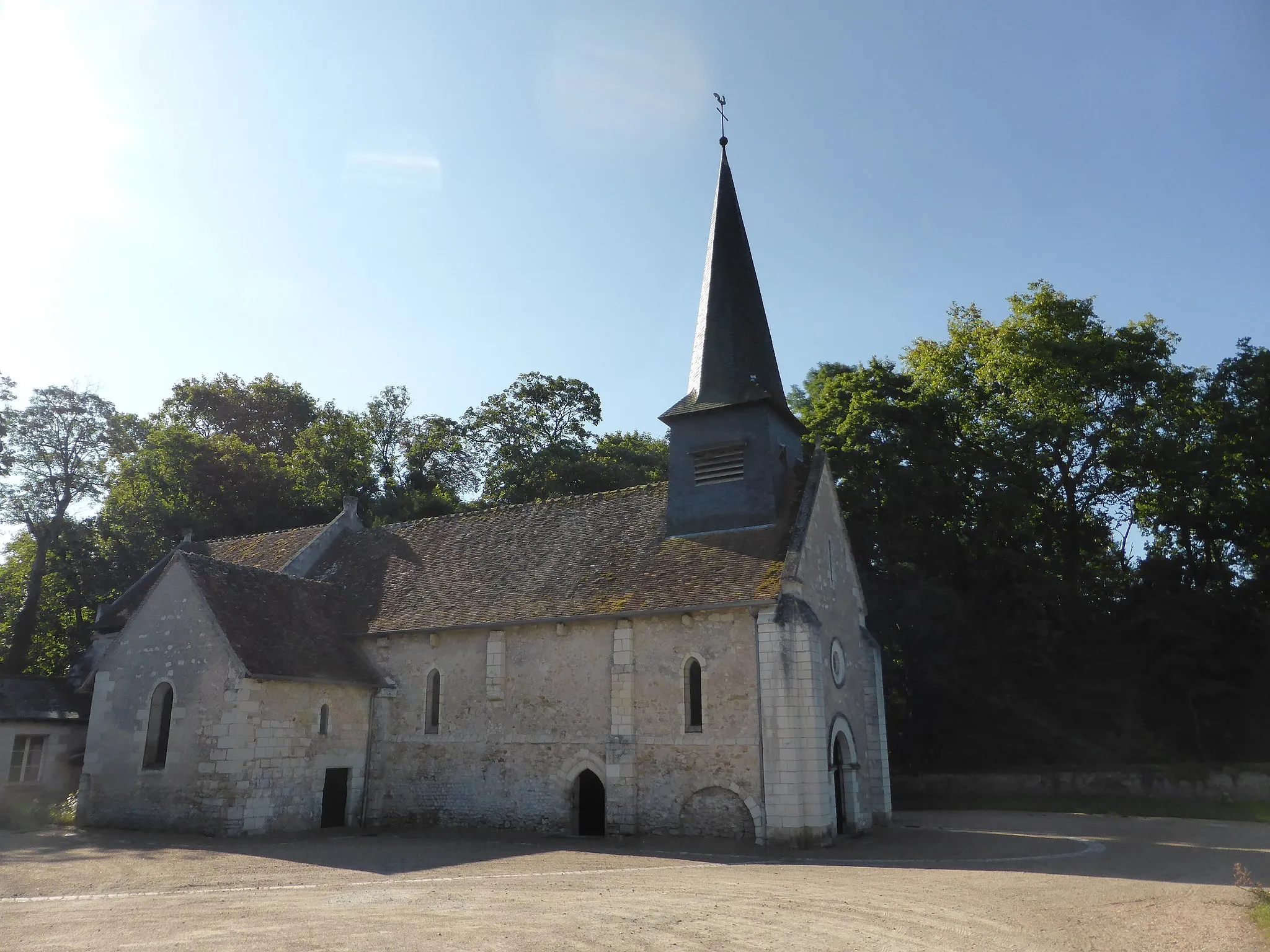
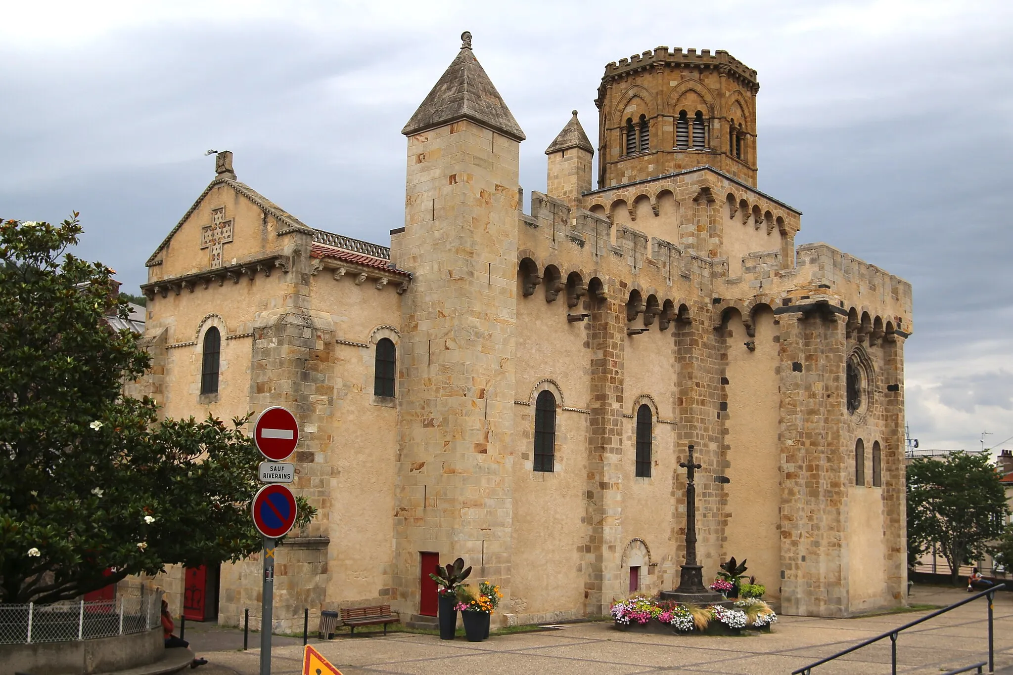
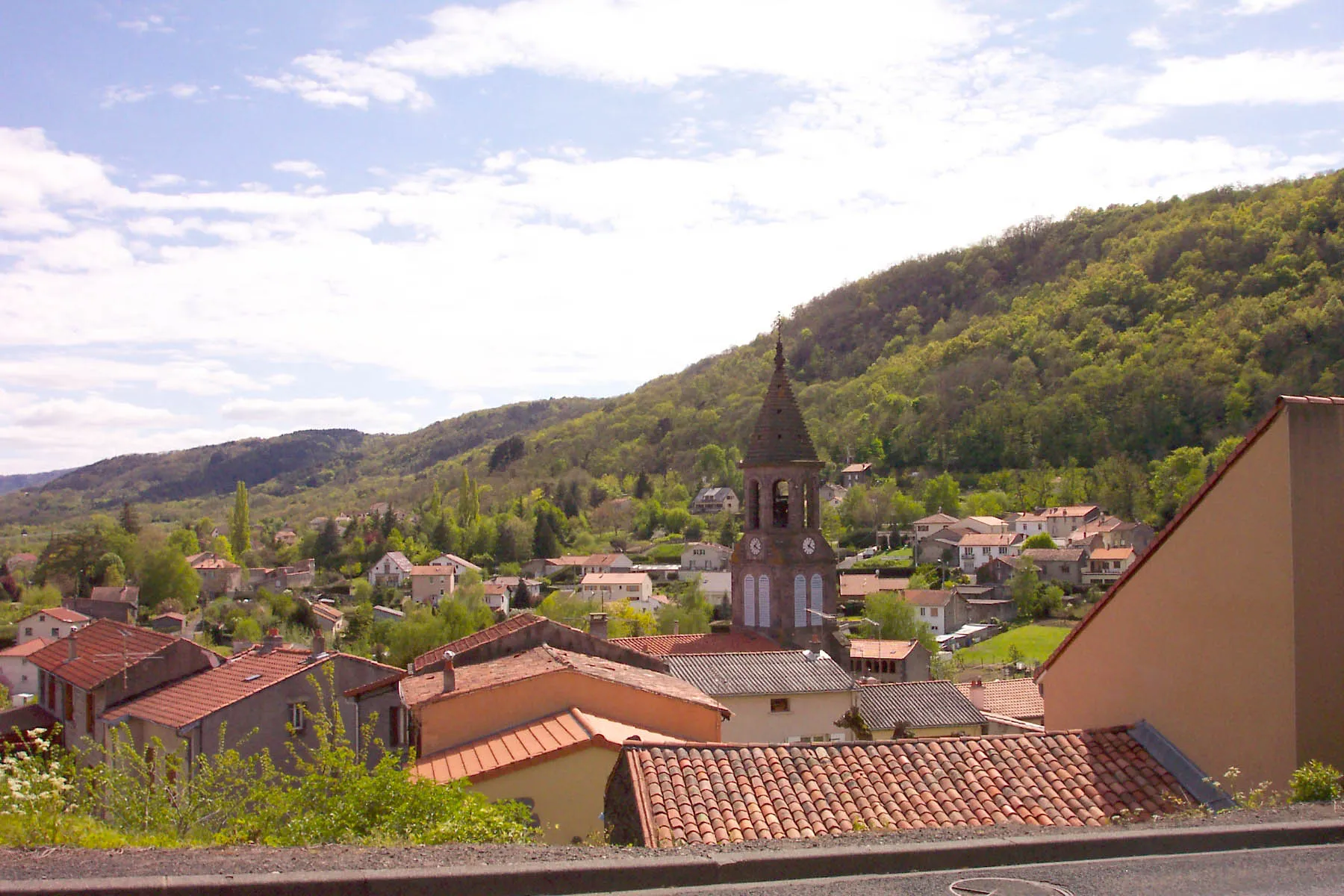
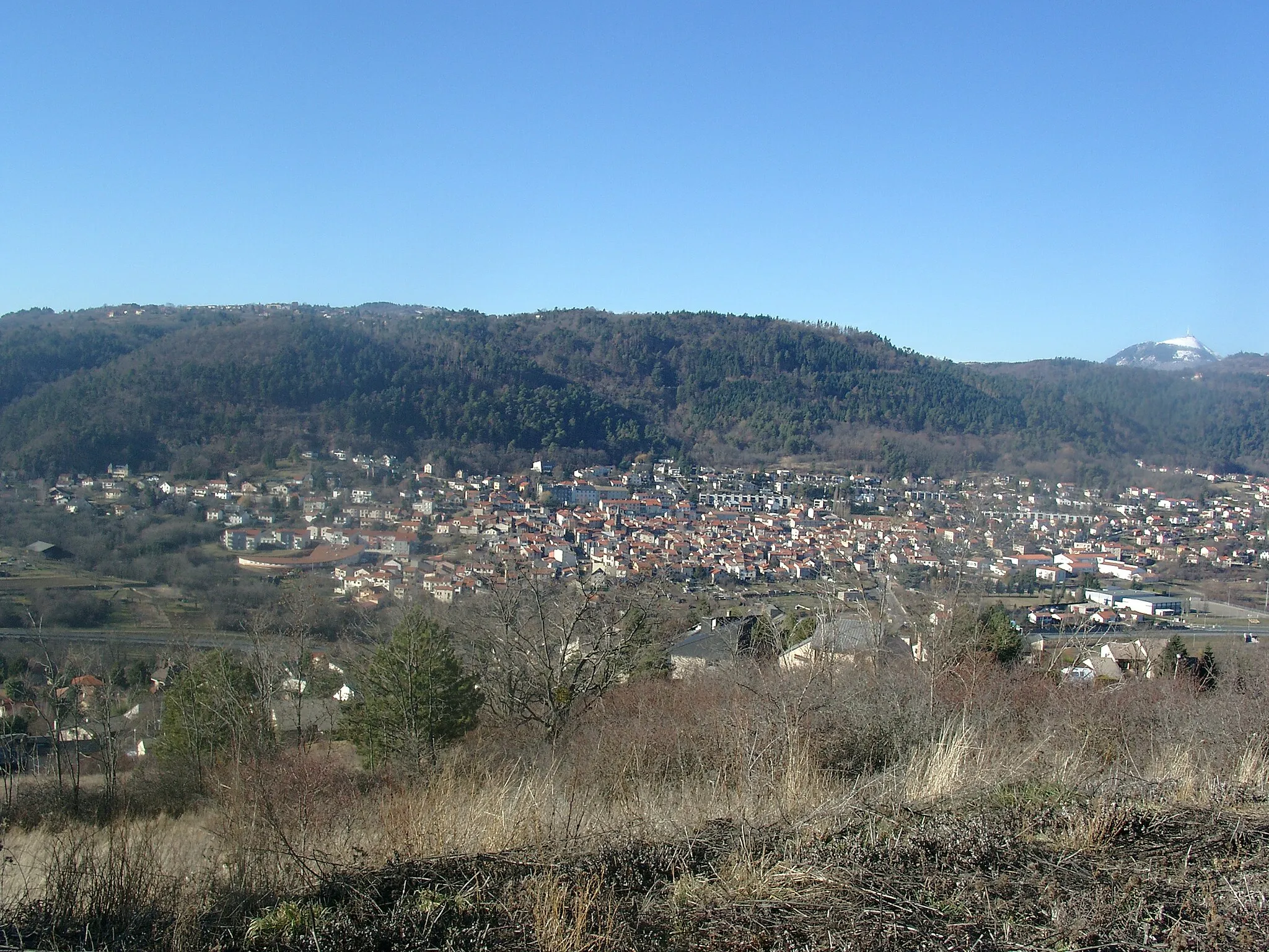
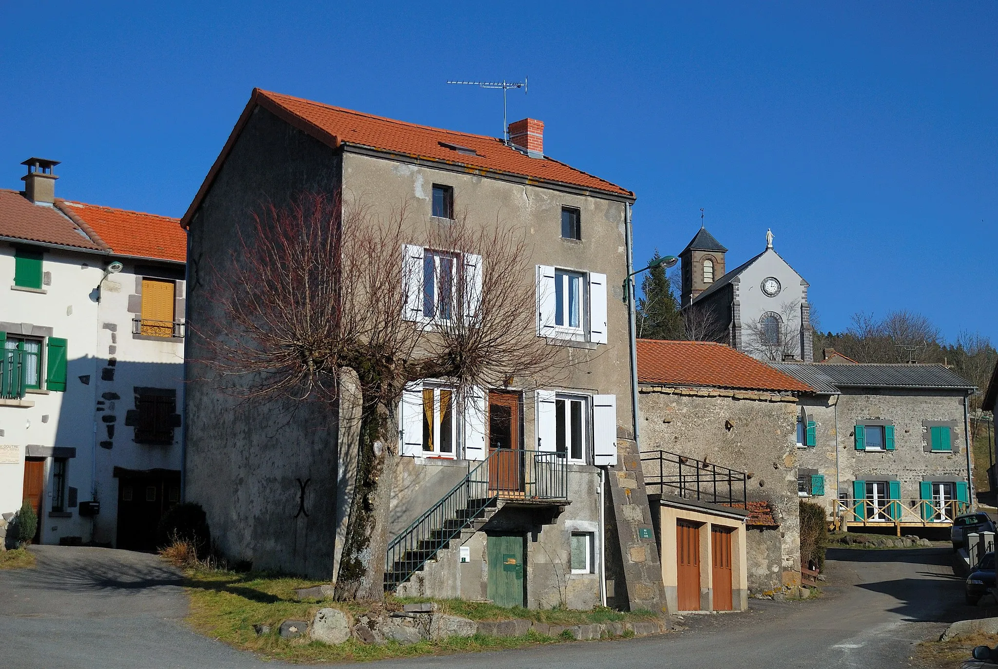
Orcines is a small village located in the Auvergne region of France, offering a tranquil setting for road and gravel cyclists. The area is characterized by its volcanic landscape and offers a variety of cycling routes suitable for all skill levels. Orcines is perhaps most famous for its proximity to the Puy de Dôme, a well-known volcanic peak that is a popular destination for cyclists. The climb up Puy de Dôme is not only challenging but also offers breathtaking views of the surrounding countryside. Orcines is a must-visit for cyclists seeking both tranquility and iconic climbs.
Mountains and Volcanoes

Experience the beauty of the Auvergne region on this challenging route through stunning landscapes.
This exciting cycling route takes you through the rugged terrain of the Auvergne region, known for its breathtaking mountains and prominent volcanoes. As you cycle along the road, you will enjoy panoramic views of picturesque villages and rolling hills. The route includes several highlights, such as Puy de Manson, a volcanic hill with sweeping views of the surrounding countryside, and Saint-Genès-Champanelle, a charming village renowned for its historic architecture.
The Charbonnières Circuit
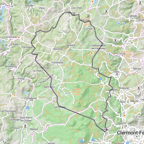
Experience the best of Auvergne on the Charbonnières circuit
Discover the natural wonders of Auvergne on the Charbonnières circuit, a road cycling route spanning 68 kilometers. Starting near Orcines, this route takes you through scenic landscapes, including the towns of Col des Goules, Puy des Goules, Chapdes-Beaufort, Manzat, Charbonnières-les-Varennes, Chanat-la-Mouteyre, and Le Gressigny. Enjoy an elevation gain of 1035 meters and admire stunning views of rolling hills and picturesque valleys. Highlights include the challenging ascent of Col des Goules, the panoramic vistas from Puy des Goules, and the picturesque village of Charbonnières-les-Varennes. With a difficulty level of 4 and an epicness level of 3, this route provides a thrilling adventure for experienced cyclists.

Embark on an off-road gravel adventure through the scenic landscapes of Auvergne.
This gravel cycling route takes you off the beaten path and into the scenic landscapes of Auvergne. As you navigate the gravel trails, you will experience the rugged beauty of the region and discover hidden gems along the way. The route includes several highlights, such as Puy de Montrodeix, a volcanic hill with panoramic views, and Les Goules, a natural rock formation with a unique beauty. The difficulty level of this route is moderate, making it suitable for experienced off-road cyclists.
Discover the iconic Puy de Dôme on this thrilling gravel ride.
This gravel route takes you through scenic landscapes to the famous Puy de Dôme volcano. With a moderate ascent of 1009 meters and a distance of 58 kilometers, this ride is suitable for well-trained amateur cyclists. The route is challenging but rewarding, providing breathtaking views along the way.

Explore the picturesque landscapes of Orcines on this scenic gravel route.
This gravel route takes you on a captivating journey through the stunning landscapes of Orcines. With a moderate ascent of 830 meters and a distance of 88 kilometers, this ride offers a challenging yet enjoyable experience for well-trained amateur cyclists. Ride through charming villages and discover hidden gems along the way.

Experience the picturesque beauty of Orcines on this gravel ride.
This gravel route allows you to immerse yourself in the picturesque beauty of Orcines. With a moderate ascent of 701 meters and a distance of 58 kilometers, this ride is suitable for well-trained amateur cyclists looking for a scenic adventure. Discover charming towns and enjoy stunning views along the way.
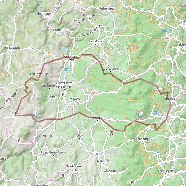
Embark on a thrilling gravel cycling adventure to Puy de Montrodeix and beyond
Get your adrenaline pumping with the Montrodeix Gravel Adventure. This route is perfect for avid off-road cyclists and covers a distance of 108 kilometers with an elevation gain of 1900 meters. Starting near Orcines, you'll ride along winding gravel roads, passing through impressive natural landscapes. Highlights include Puy de Montrodeix, a volcanic cone offering stunning views, and La Roche des Fées, an ancient rock formation shrouded in folklore. As you pedal through Saint-Sauves-d'Auvergne and Mazaye, soak in the picturesque beauty of the rural countryside. With a difficulty level of 5 and an epicness level of 4, this route promises an unforgettable adventure for experienced gravel riders.

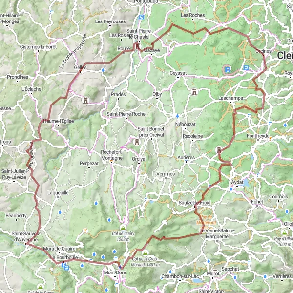
Embark on an epic road cycling adventure in Orcines and conquer legendary climbs.
This road cycling route offers an epic adventure, perfect for experienced cyclists seeking a challenge. With a challenging ascent of 2823 meters and a distance of 136 kilometers, this ride will test your endurance and reward you with breathtaking views. From scenic climbs to famous cycling spots, this route has it all.
The Goules Loop
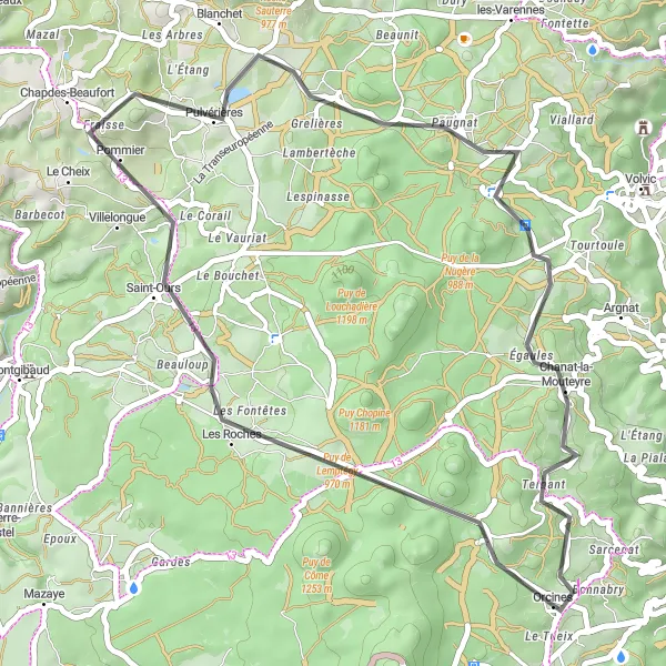
Enjoy a scenic road cycling adventure on the Goules Loop
Experience the beauty of Auvergne on the Goules Loop, a road cycling route that spans 45 kilometers with an elevation gain of 613 meters. Starting near Orcines, this route takes you through the charming towns of Col des Goules, Puy des Goules, Chapdes-Beaufort, Chanat-la-Mouteyre, and Le Gressigny. Along the way, you'll encounter picturesque landscapes of rolling hills and lush green valleys. With a difficulty level of 2 and an epicness level of 3, this route is perfect for cyclists looking for a leisurely ride with stunning scenery.
The Gerzat Loop
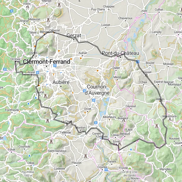
Discover the charming towns and stunning landscapes of Auvergne on this road cycling route
Embark on a picturesque journey through Auvergne on the Gerzat Loop. This road cycling route covers a distance of 95 kilometers and features a challenging ascent of 1450 meters. The route starts in Orcines and takes you through the beautiful towns of Gerzat, Billom, and Sallèdes. Along the way, you'll encounter Notre-Dame de Monton, a stunning church perched on a hill, and Le Crest, a medieval castle with breathtaking views. As you peddle your way through Ceyrat and Puy de Chateix, marvel at the natural beauty that surrounds you. This route is rated with a difficulty level of 3 and an epicness level of 4, offering a rewarding experience for intermediate cyclists.
Cycling routes nearby:


Nearby regions: