Conquer the famous climbs of Saint-Genès-Champanelle
Cycling routes from Saint-Genes-Champanelle
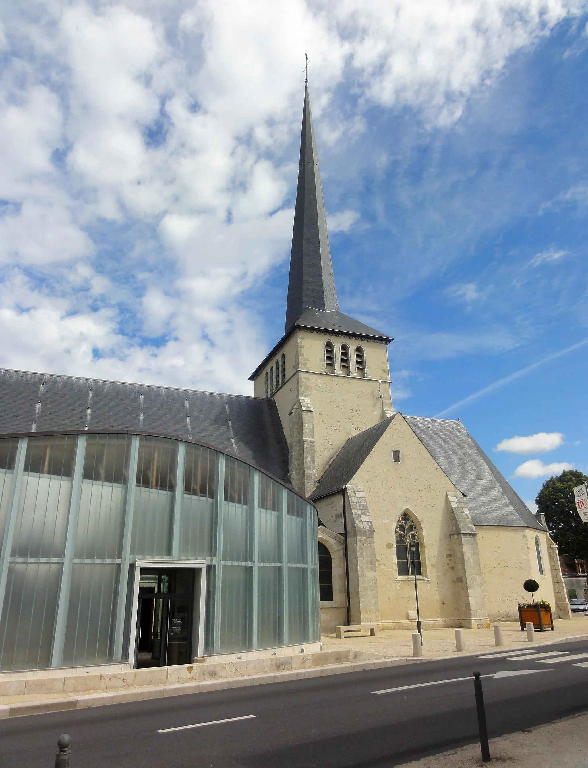
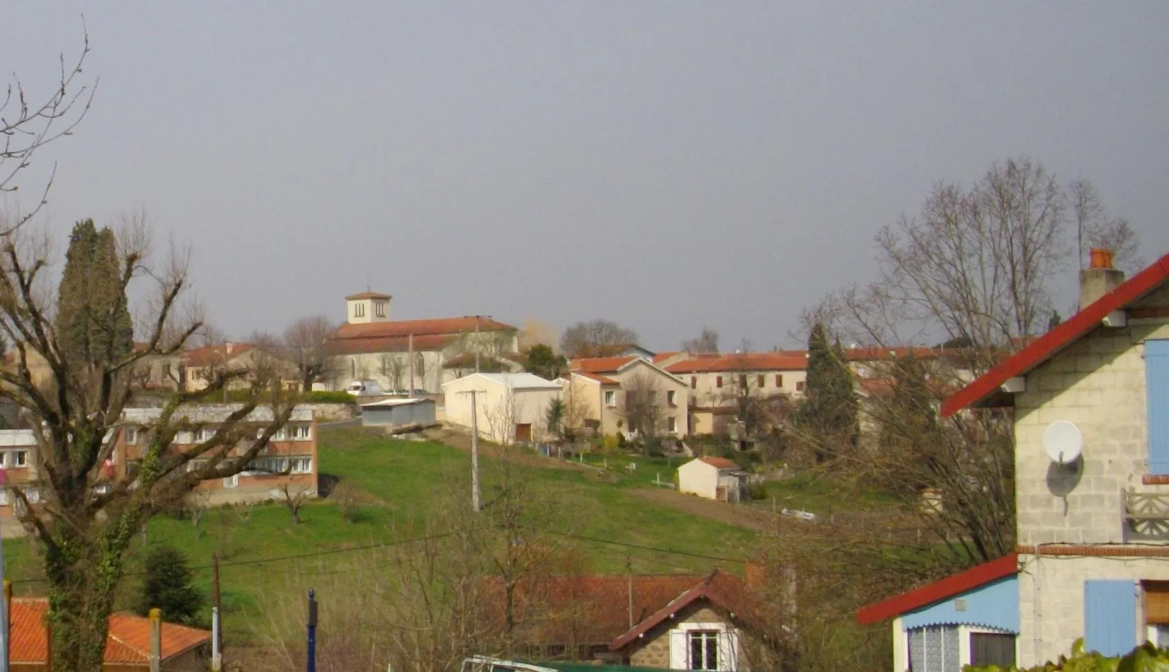
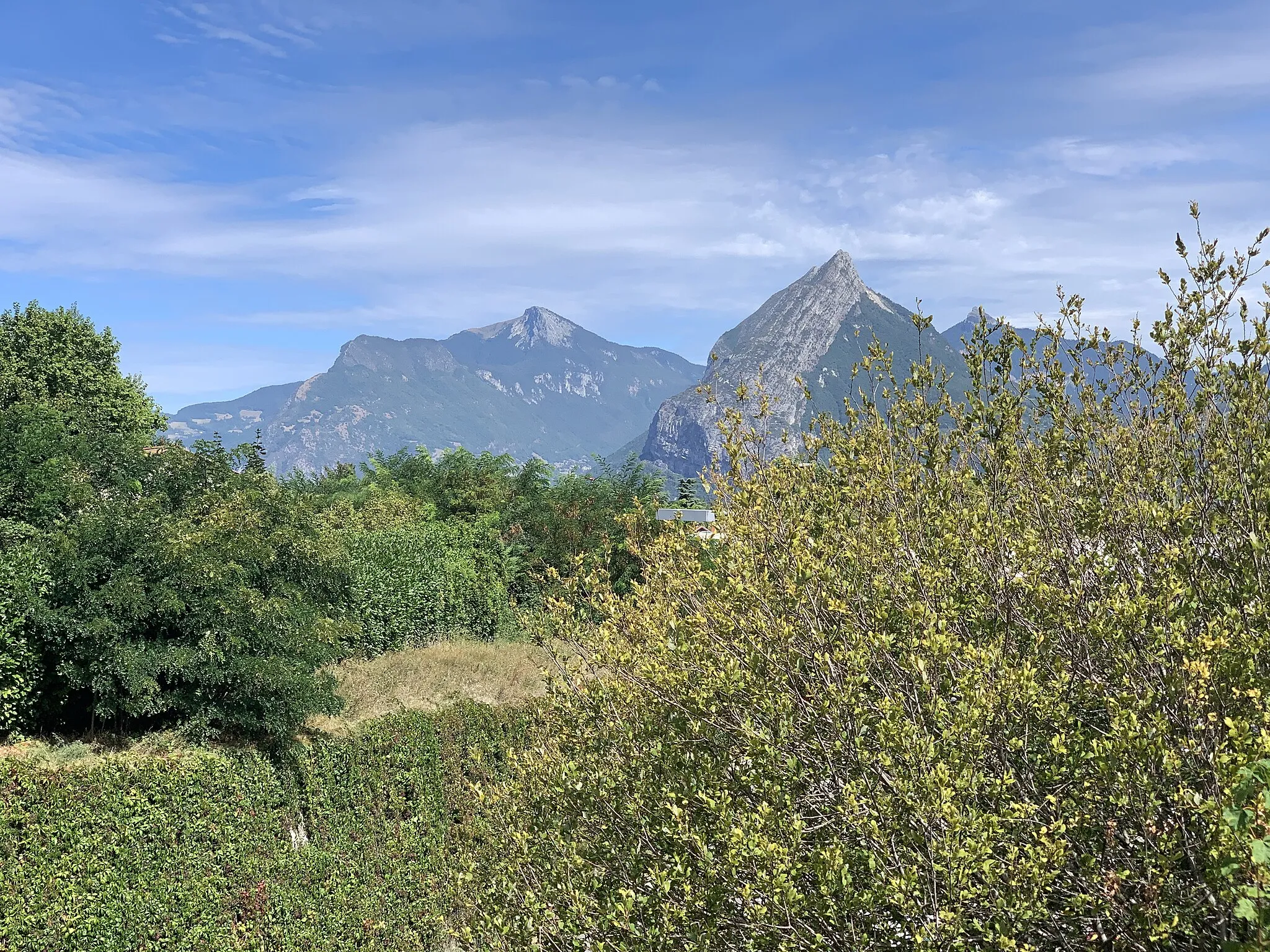
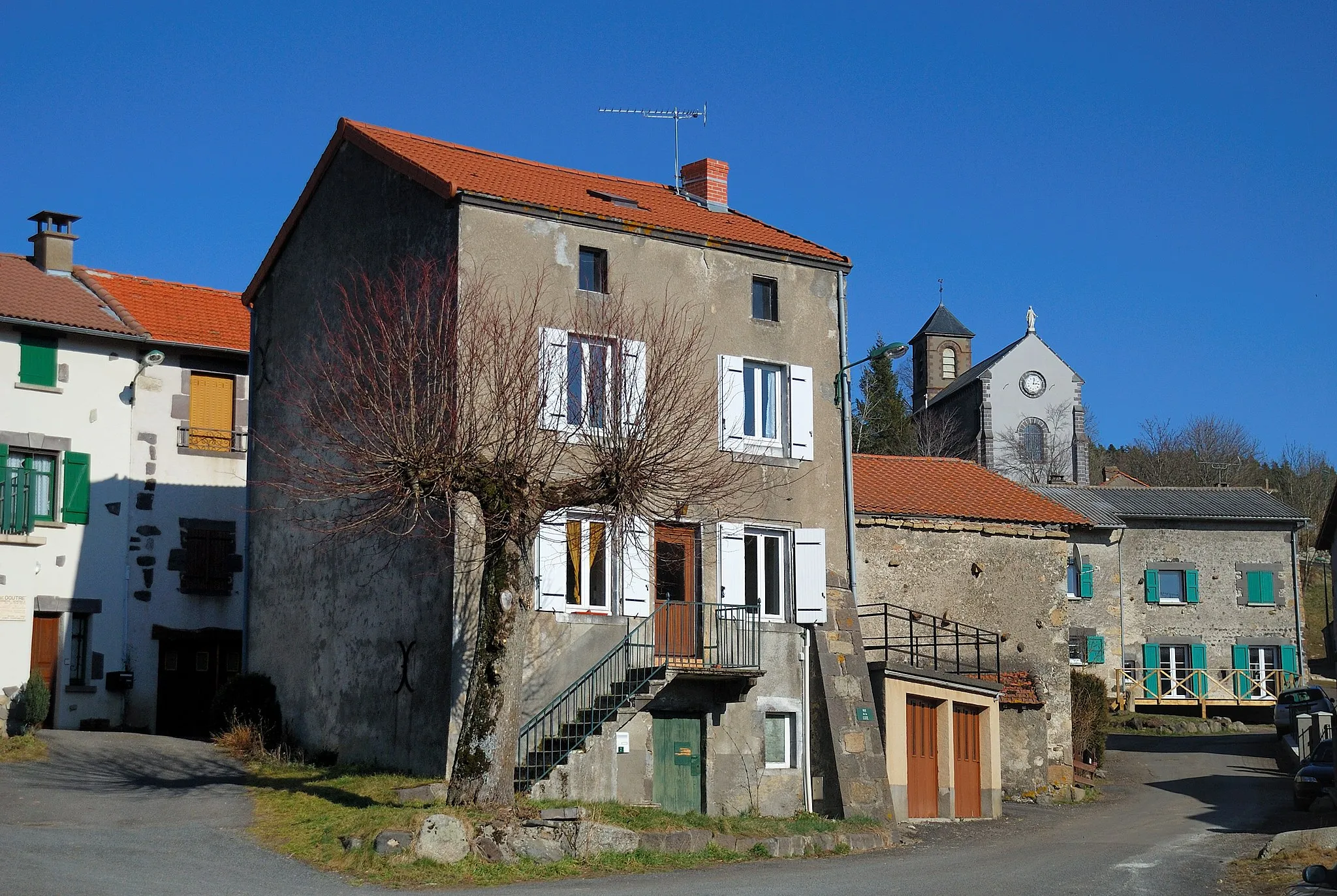
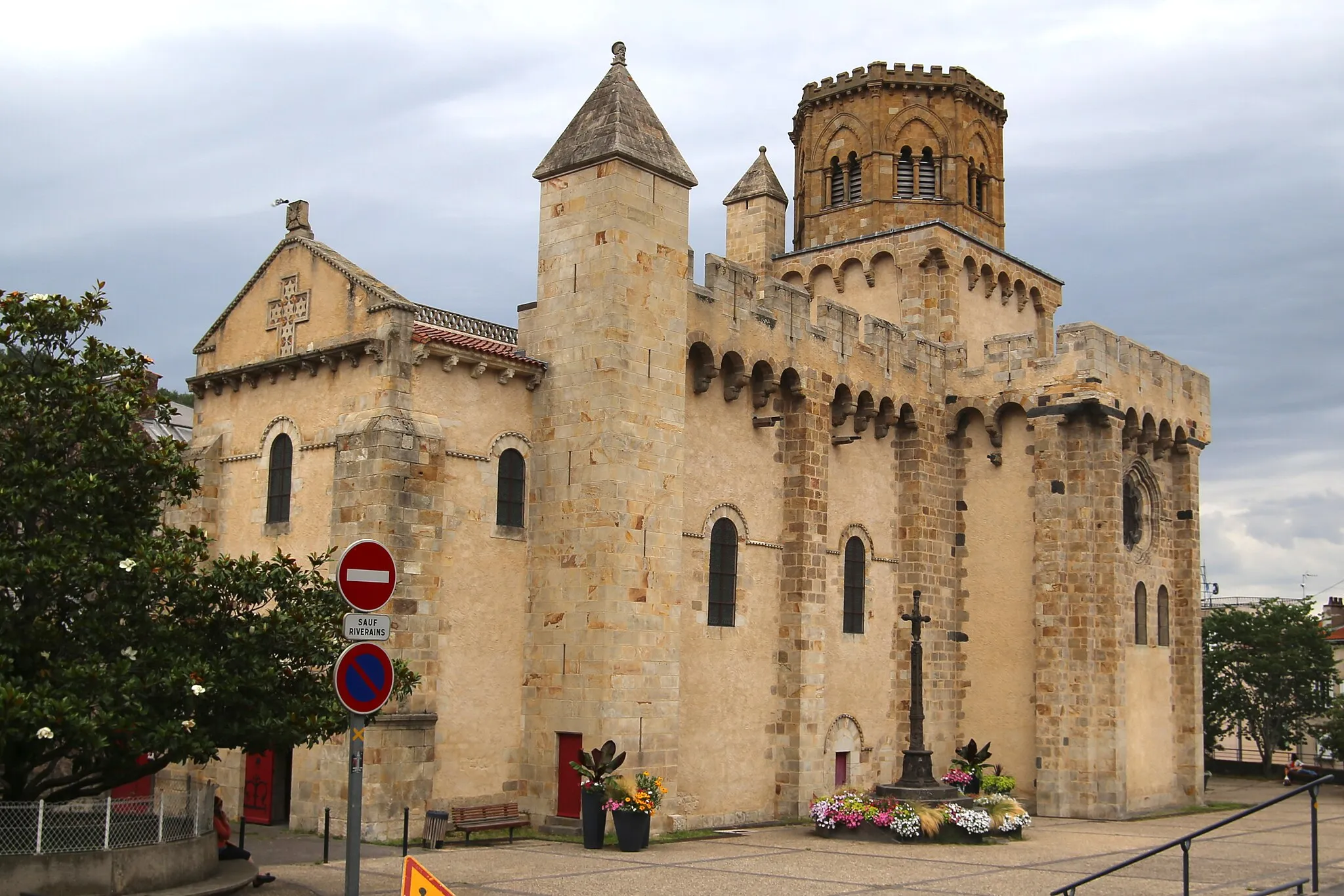
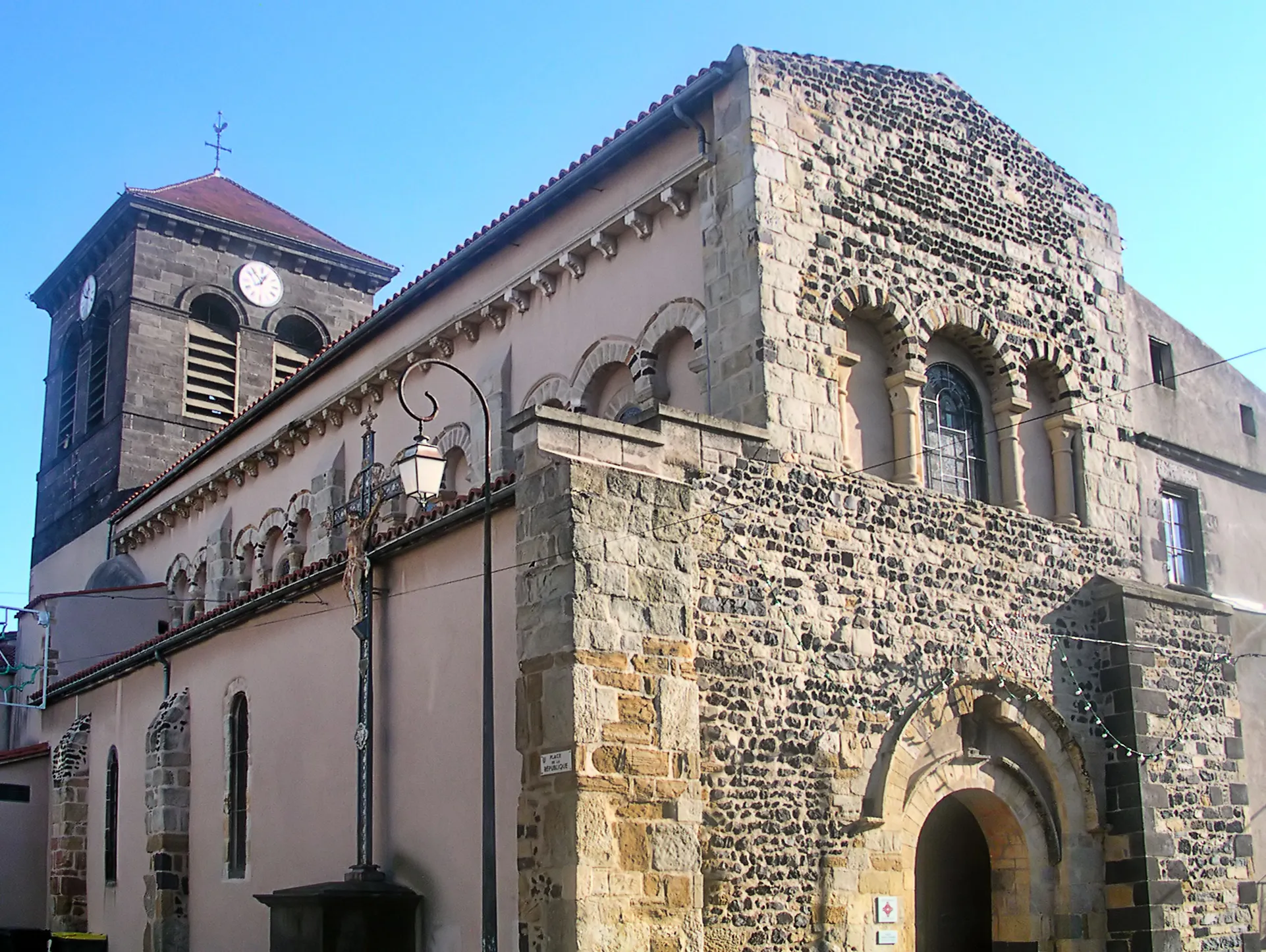
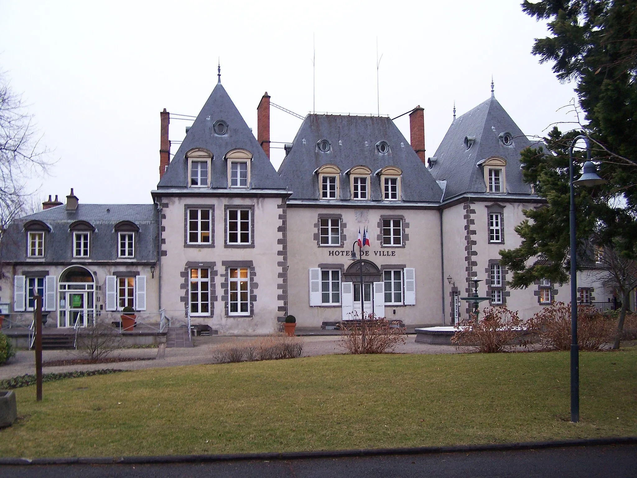
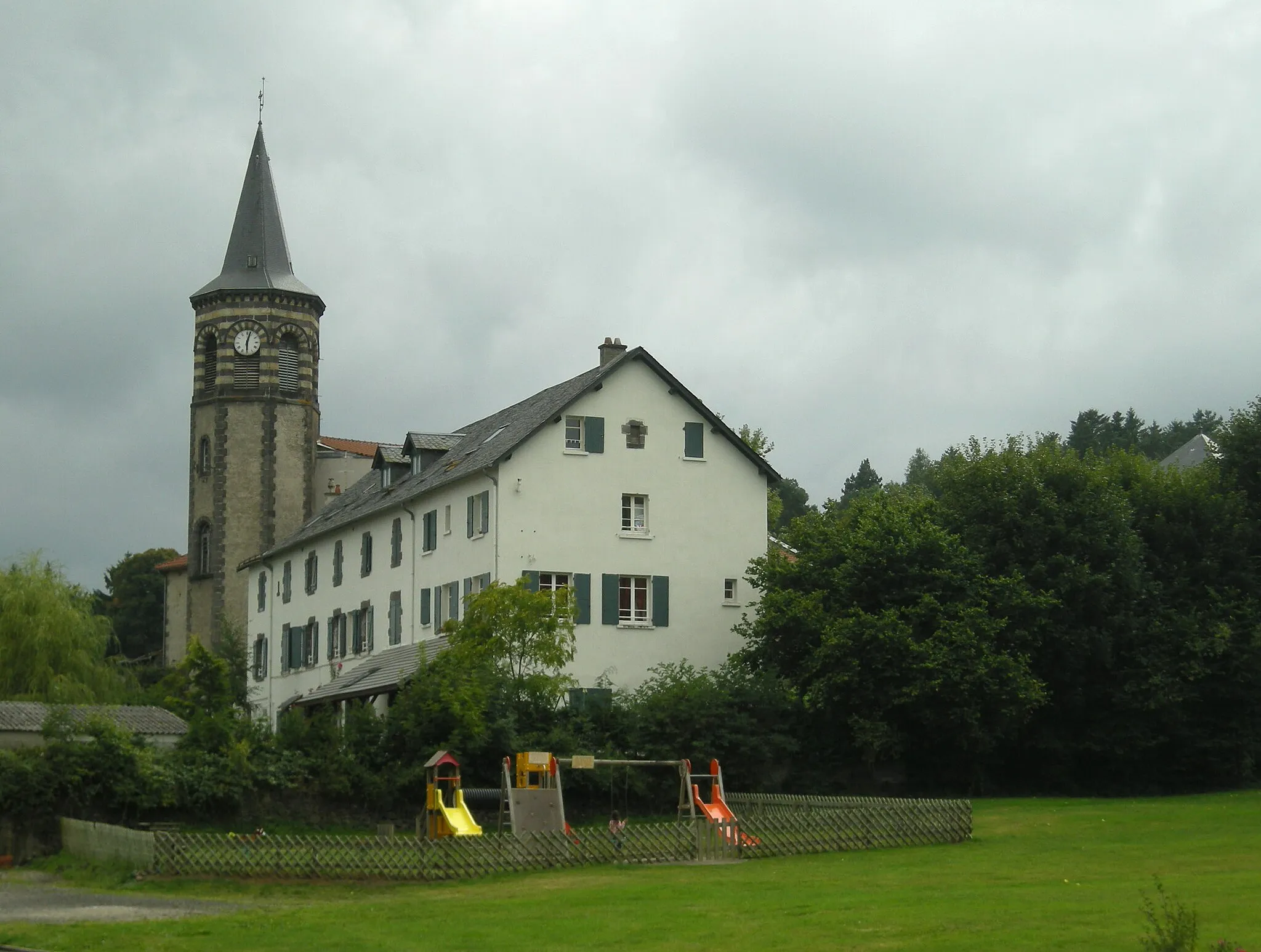
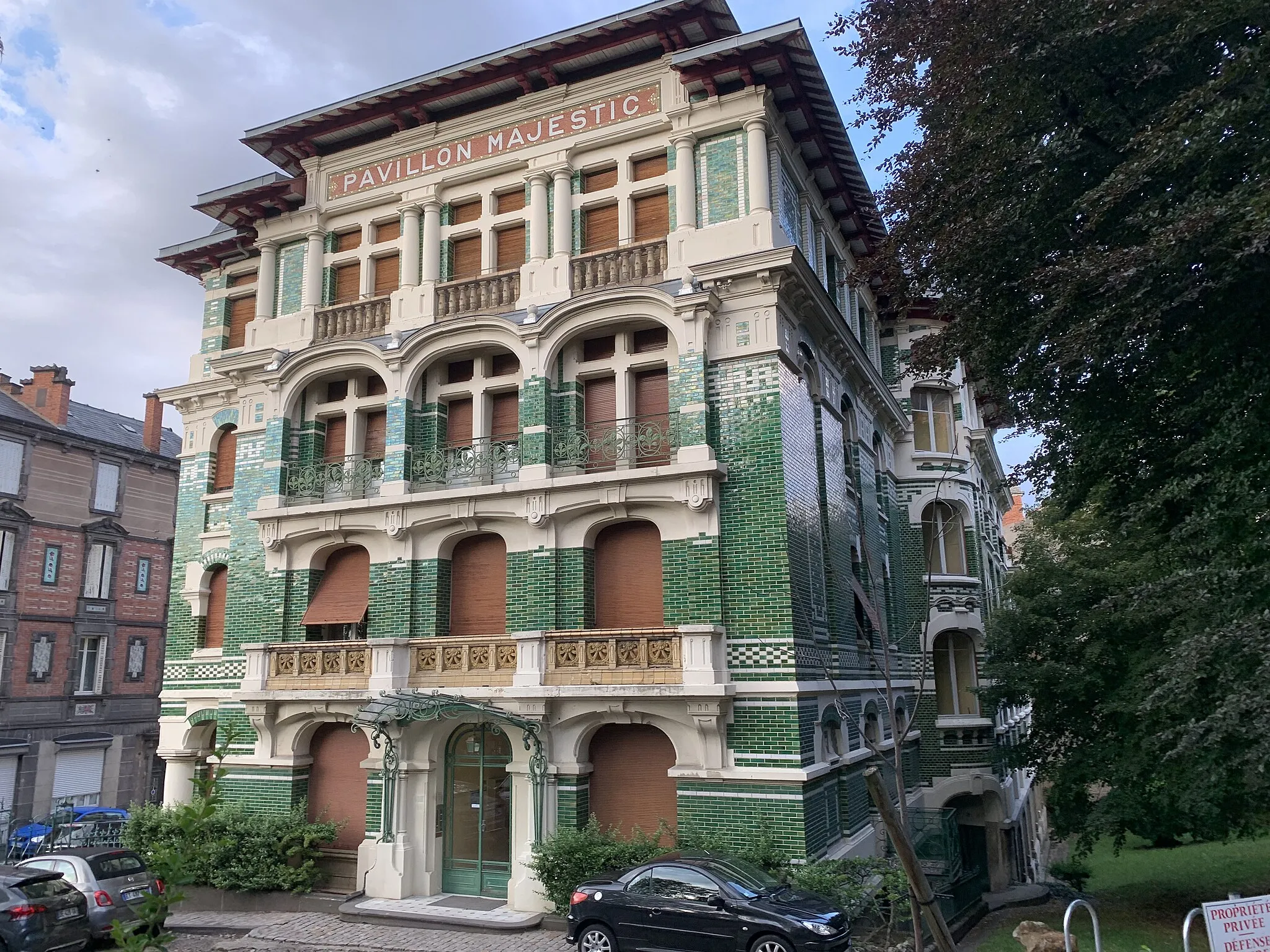
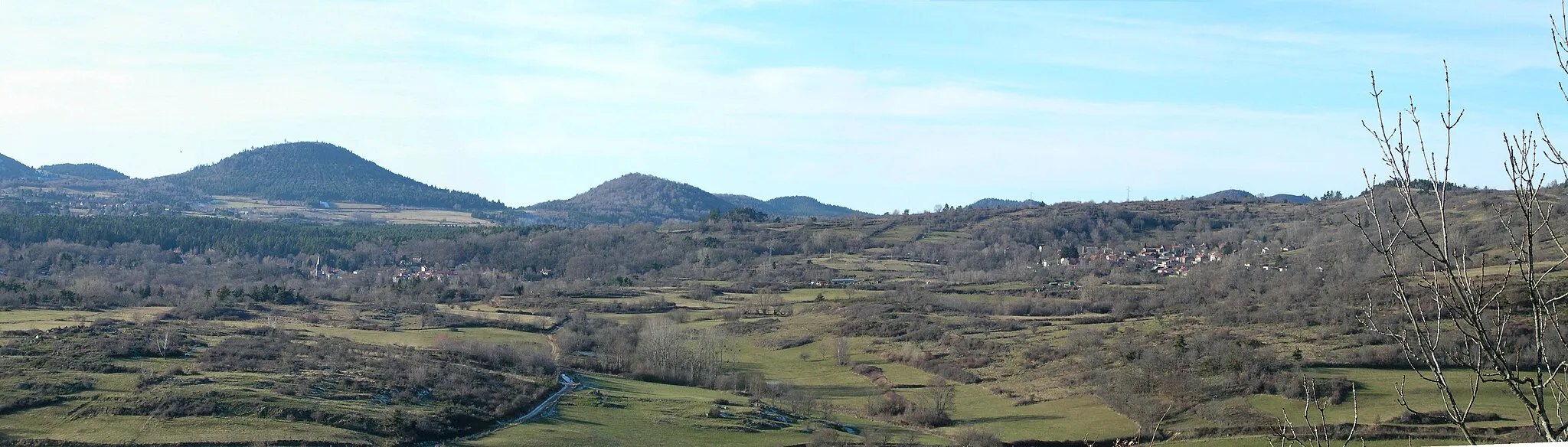
Saint-Genès-Champanelle is a charming town located in the Auvergne region of France. From a cyclist's perspective, this locality offers great cycling opportunities. The landscapes are breathtaking and there are several well-known climbs in the area, such as Col de la Moreno. With its cycling-friendly environment and stunning natural beauty, Saint-Genès-Champanelle is a top destination for road and gravel cyclists.

Escape into the mesmerizing landscapes of Champanelle on this serene road route
Experience the serenity of Champanelle's landscapes as you embark on this enchanting road cycling route. Covering a distance of 56 kilometers and an ascent of 828 meters, this route is suitable for well-trained amateurs seeking a leisurely ride showcasing the beauty of the region.
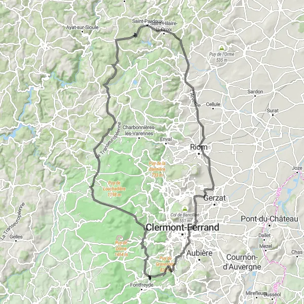
A captivating road cycling route through the Auvergne region
Embark on a scenic road cycling adventure with this route starting near Saint-Genès-Champanelle. Spanning 110 km and featuring a total ascent of 1449 meters, this route takes cyclists through the picturesque landscapes of the Auvergne region. The highlight of this journey is the charming village of Orcines, known for its beautiful mountain views and historic structures. With a difficulty rating of 4 out of 5, this route is suitable for well-trained amateur cyclists seeking a challenge. The epicness rating of 4 reflects the stunning natural beauty and cultural attractions found along the route.
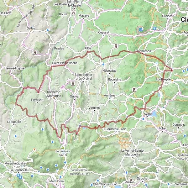
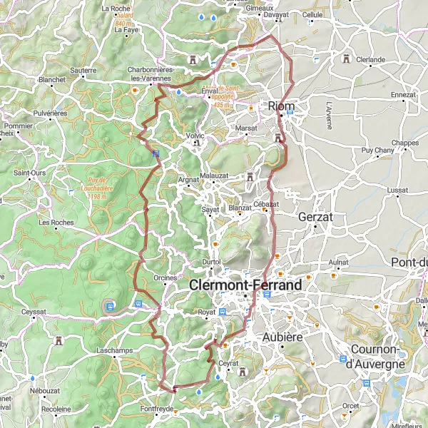
An immersive gravel cycling route through the scenic beauty of Auvergne
Immerse yourself in the natural wonders of the Auvergne region with this awe-inspiring gravel cycling route starting near Saint-Genès-Champanelle. Covering a distance of 72 km and featuring an ascent of 1406 meters, this route takes cyclists through enchanting landscapes and remote areas rich in beauty. Highlights along the way include the striking Aydat Lake and the majestic Roche Sanadoire. With a difficulty rating of 4 out of 5, this route offers an exhilarating challenge for experienced gravel cyclists. The epicness rating of 4 reflects the exceptional natural beauty and sense of adventure found throughout the journey.
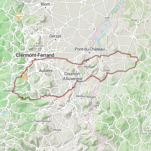
Gravel Adventure in Auvergne
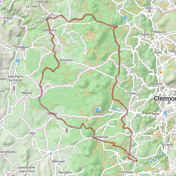
An exciting gravel cycling route through the stunning landscapes of Auvergne
Get off the beaten path with this thrilling gravel cycling route starting near Saint-Genès-Champanelle. Covering a distance of 60 km and featuring 996 meters of ascent, this adventure takes cyclists through the remarkable landscapes of the Auvergne region. Highlights along the route include the scenic views from the Col de la Moréno and the natural beauty of Ceyssat's location within the Auvergne Volcanoes Natural Park. With a difficulty rating of 3 out of 5, this route is suitable for those seeking an intermediate-level gravel cycling experience. The epicness rating of 3 reflects the captivating scenery and tranquility found throughout the journey.
Champanelle Gravel Adventure
Explore the rugged gravel roads of Champanelle
Embark on an exciting gravel adventure through Champanelle and discover its rugged landscapes and stunning natural highlights. This route is suitable for well-trained amateurs seeking a challenging off-road experience. With a total ascent of 1,764 meters and a distance of 73 kilometers, this gravel route promises to test your endurance and navigation skills. Indulge in the picturesque loop starting near Saint-Genès-Champanelle and head towards the highlight spots along the way.
Scenic Road Loop

A picturesque road cycling route showcasing the stunning landscapes of Auvergne
Experience the breathtaking beauty of the Auvergne region with this scenic road cycling route starting near Saint-Genès-Champanelle. Covering a distance of 42 km and featuring 688 meters of ascent, this route takes cyclists through captivating landscapes and picturesque villages. Highlights along the way include the famous Col de la Ventouse and the charming village of Aurières. With a difficulty rating of 2 out of 5, this route is suitable for cyclists of all levels. The epicness rating of 3 reflects the scenic beauty and cultural attractions found throughout the journey.
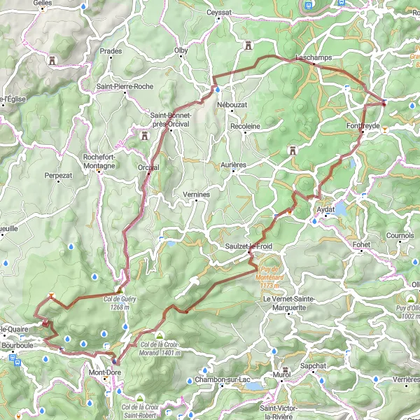
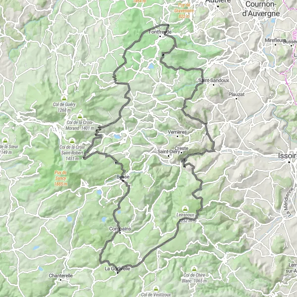
Montrodeix Gravel Loop
Discover the scenic beauty of Montrodeix on this adventurous gravel loop
Immerse yourself in the picturesque landscapes of Montrodeix as you embark on this captivating gravel loop. With an ascent of 1,167 meters and a distance of 74 kilometers, this route caters to well-trained amateurs seeking a rewarding off-road experience. Start near Saint-Genès-Champanelle and admire the striking highlights along the way, showcasing the region's natural wonders and cultural attractions.

An exhilarating road cycling route featuring the famous Col de la Ventouse
The Ventouse Challenge is a thrilling road cycling route that starts near Saint-Genès-Champanelle. It covers a distance of 118 km and includes a challenging ascent of 1909 meters. The highlight of this route is the iconic Col de la Ventouse, a mountain pass renowned for its steep gradients and stunning views. The overall difficulty of this route is rated as 4 out of 5, making it suitable for very well-trained amateur cyclists. With its epic climbs and picturesque landscapes, this route offers a memorable cycling experience for enthusiasts.
Champanelle Countryside Escape
Escape the bustling city and immerse yourself in the charming Champanelle countryside
Experience the tranquility of the Champanelle countryside as you embark on this scenic gravel route. With an ascent of 1,087 meters and a distance of 83 kilometers, this route offers well-trained amateurs an opportunity to explore the charming villages and captivating landscapes near Saint-Genès-Champanelle.
Conquer the challenging roads of Champanelle on this epic cycling adventure
Embark on an unforgettable road cycling adventure through the natural wonders of Champanelle. Covering a total ascent of 2,434 meters and a distance of 139 kilometers, this route is designed for well-trained amateurs seeking a thrilling challenge. Traverse breathtaking landscapes, conquer monumental climbs, and soak in the awe-inspiring highlights of the region.
Cycling routes nearby:

Nearby regions: