Champanelle Road Challange
A road cycling route starting from Saint-Genes-Champanelle
Conquer the challenging roads of Champanelle on this epic cycling adventure
Map
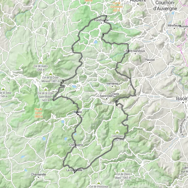
Embark on an unforgettable road cycling adventure through the natural wonders of Champanelle. Covering a total ascent of 2,434 meters and a distance of 139 kilometers, this route is designed for well-trained amateurs seeking a thrilling challenge. Traverse breathtaking landscapes, conquer monumental climbs, and soak in the awe-inspiring highlights of the region.
road
139 km
2434 m
Tough
Route profile
Highlights on the route
0 km
0 km
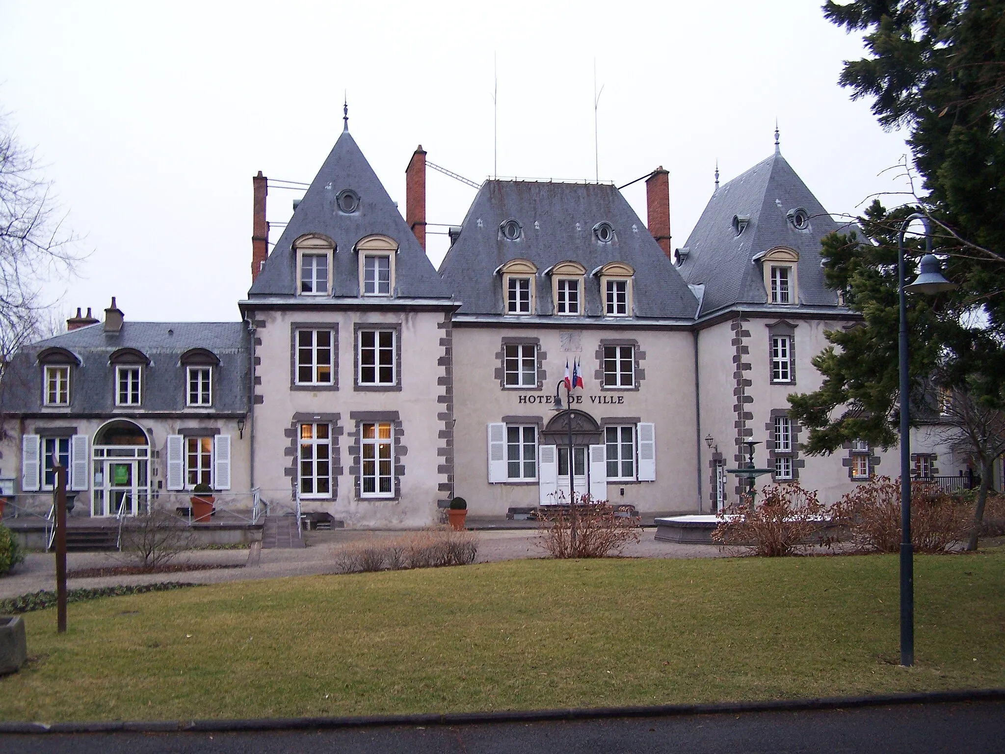
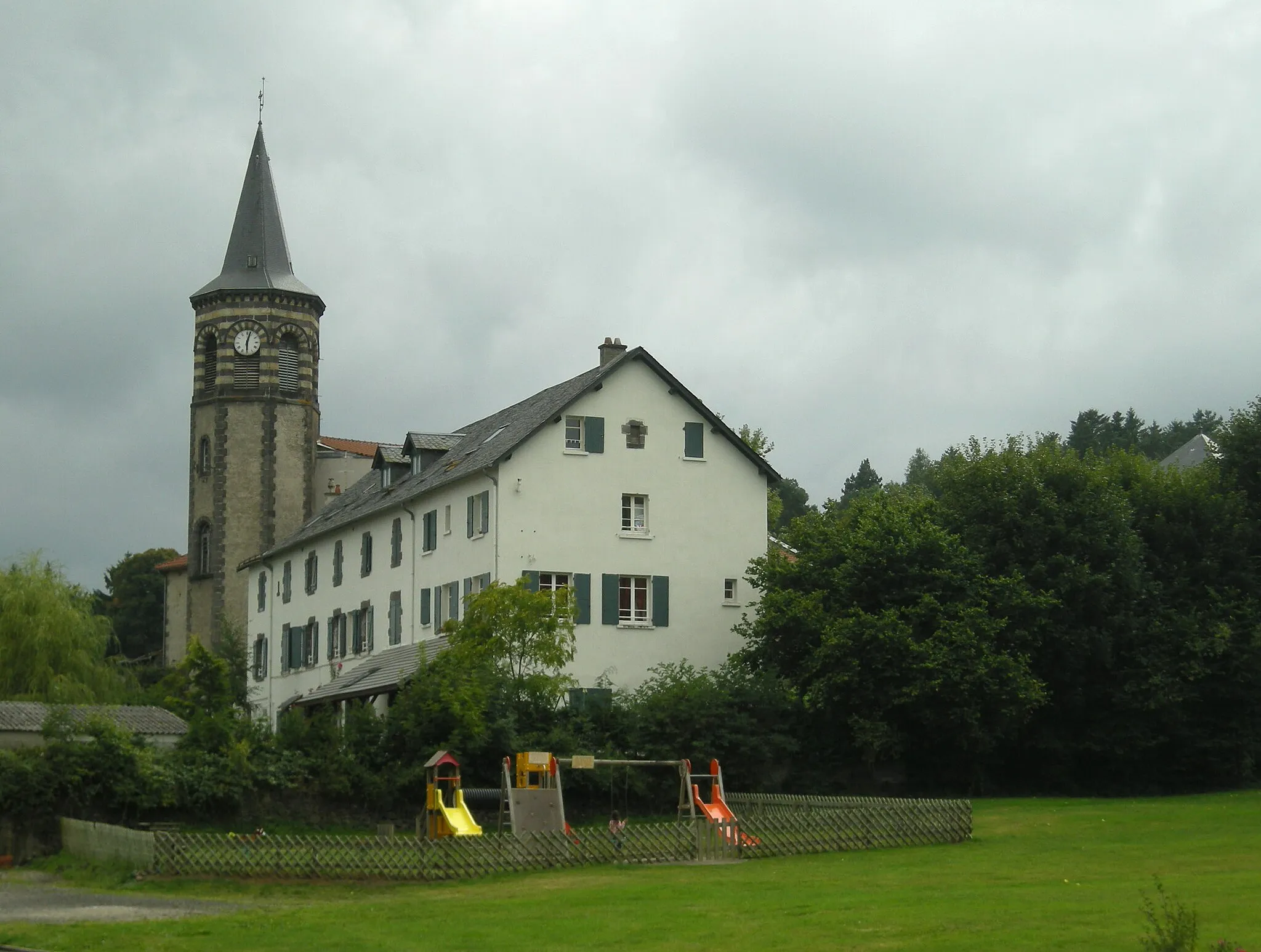
Start: Saint-Genès-Champanelle Village centerSaint-Genès-Champanelle: Conquer the famous climbs of Saint-Genès-Champanelle
Saint-Genès-Champanelle is a charming town located in the Auvergne region of France. From a cyclist's perspective, this locality offers great cycling opportunities. The landscapes are breathtaking and there are several well-known climbs in the area, such as Col de la Moreno. With its cycling-friendly environment and stunning natural beauty, Saint-Genès-Champanelle is a top destination for road and gravel cyclists.12 km
12 km
Mont Redon872 mPeakAt 12 kilometers on the route, Mont Redon overlooks the picturesque landscape, offering a serene atmosphere and fantastic photo opportunities.
16 km
16 km
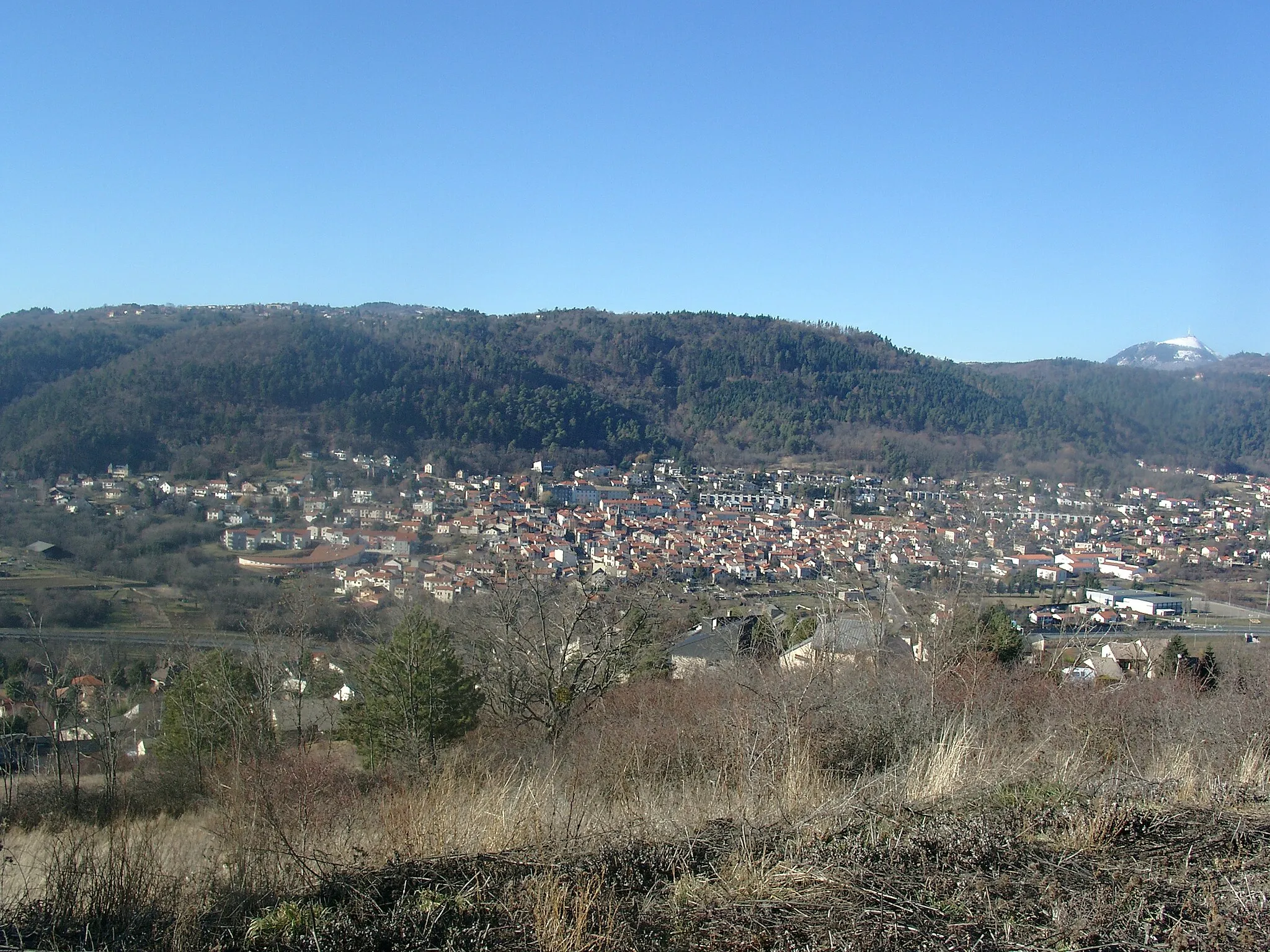
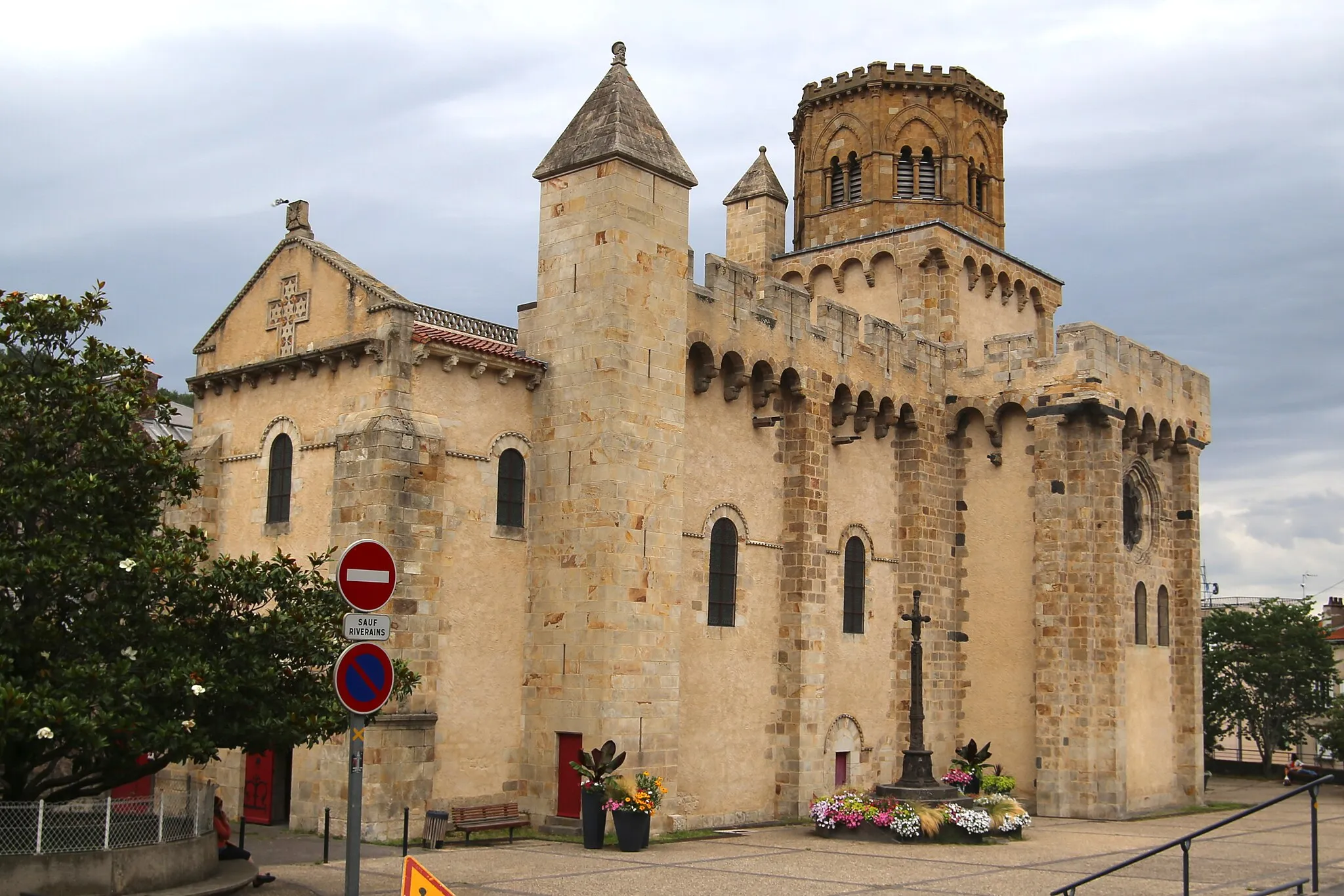
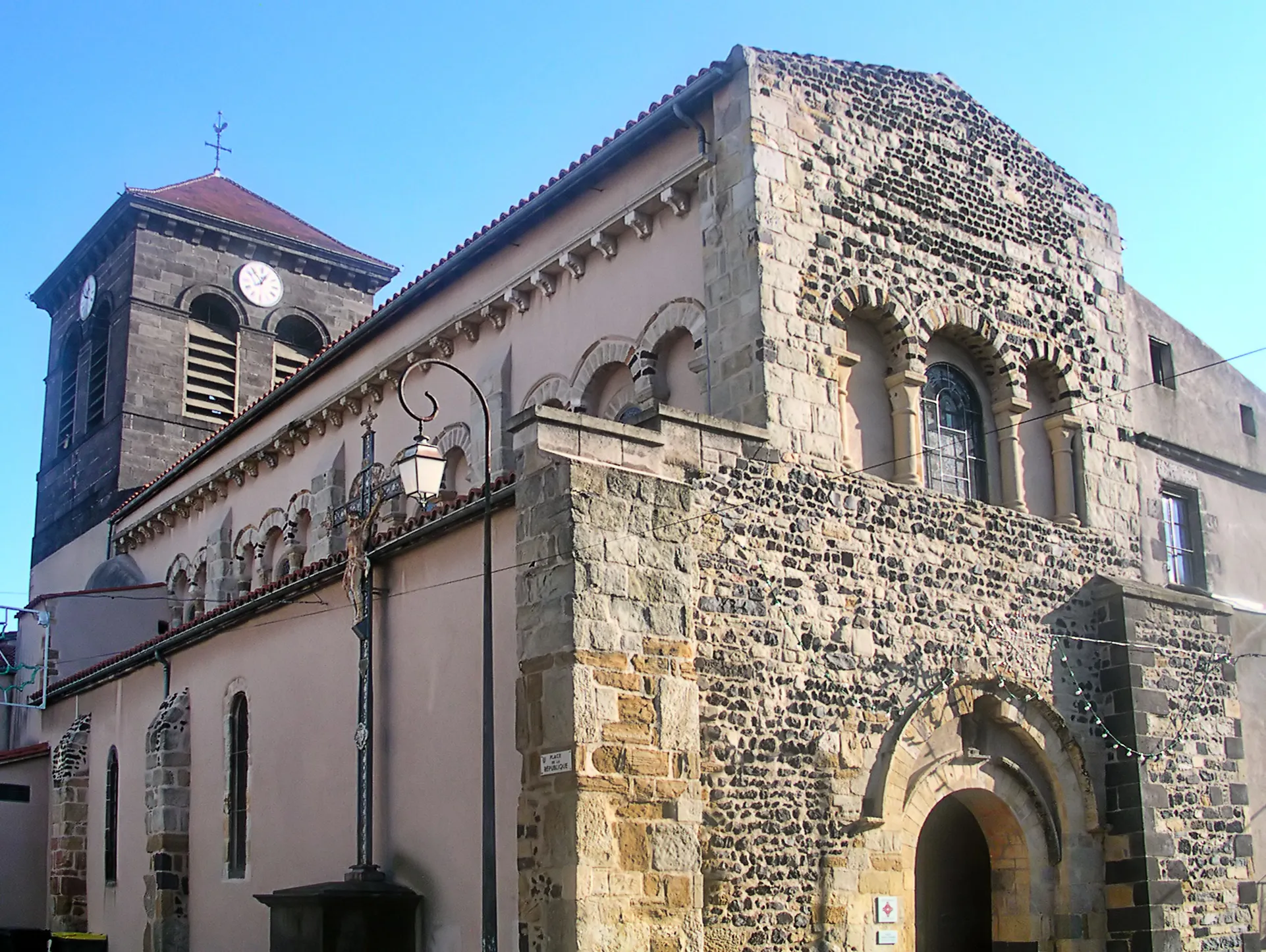
Saint-SaturninVillageSaint-Saturnin, appearing at 16 kilometers, enchants visitors with its medieval charm, including a stunning castle and pristine historic streets.
26 km
26 km
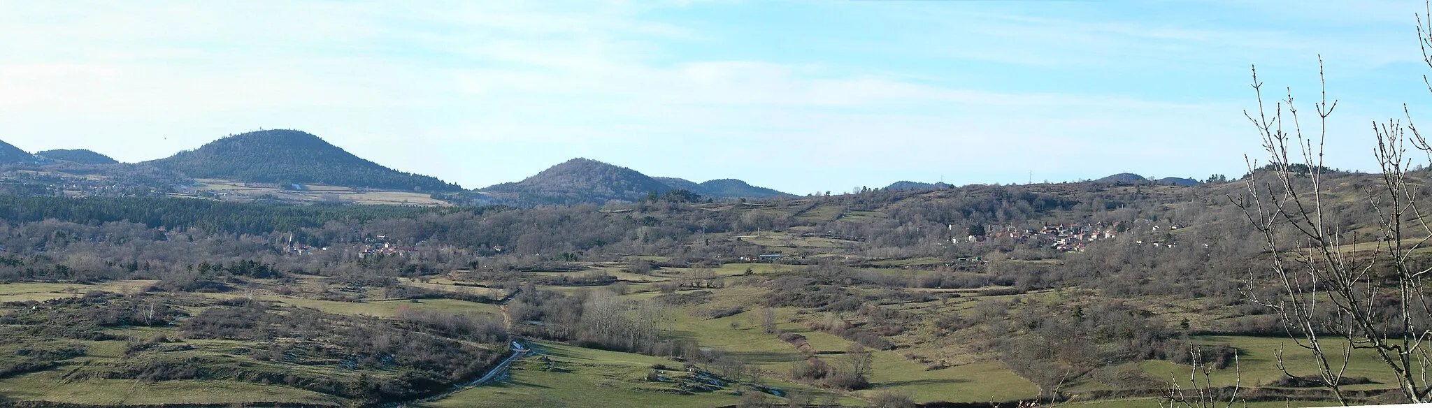
Puy de Gourdon879 mPeakCycling enthusiasts will be captivated by the beauty of Puy de Gourdon, situated at 26 kilometers, which offers breathtaking panoramic views of the volcanic landscapes.
34 km
34 km
Saint-FloretVillageSaint-Floret, located at 34 kilometers on the route, transports cyclists to a medieval wonder, boasting enchanting streets and a proud historic heritage.
42 km
42 km
Pic de Brionnet927 mPeakThe Pic de Brionnet, appearing at 42 kilometers, rewards cyclists with unobstructed views of the picturesque valleys and verdant landscapes below.
48 km
48 km
ChassagneVillageChassagne, at 48 kilometers, offers a charming stopover with stunning countryside views and a quiet ambiance, perfect for relaxation.
67 km
67 km
Col de la Volpilière1227 mMountain PassCycling through the Col de la Volpilière, located at 67 kilometers on the route, provides riders with challenging terrain and magnificent vistas of the region.
71 km
71 km
La GodivelleVillageLa Godivelle, appearing at 71 kilometers, is famed for its picturesque lake, surrounded by lush greenery and the beauty of nature.
81 km
81 km
CompainsVillageCompains, situated at 81 kilometers, boasts captivating landscapes and a charming village atmosphere, allowing for a well-deserved rest.
94 km
94 km
Puy des Prêtres1219 mPeakPuy des Prêtres, located at 94 kilometers, offers panoramic mountain views and rewards cyclists for their perseverance and dedication.
105 km
105 km
CascadeViewpointAt 105 kilometers, the stunning Cascade invites riders to enjoy the soothing sound of cascading water in a picturesque setting.
118 km
118 km
Le Vernet-Sainte-MargueriteVillageLe Vernet-Sainte-Marguerite, appearing at 118 kilometers on the route, welcomes cyclists with its delightful streets and tranquil atmosphere.
126 km
126 km
Puy de l'Enfer1086 mPeakPuy de l'Enfer, situated at 126 kilometers, showcases volcanic marvels and a unique landscape, making it an essential highlight to explore.
134 km
134 km
Puy de la Vache1167 mVolcanoPuy de la Vache, located at 134 kilometers, treats cyclists with breathtaking vistas over the surrounding countryside and volcanic formations.
139 km
139 km
Finish: Saint-Genès-Champanelle Village centerSaint-Genès-Champanelle: Conquer the famous climbs of Saint-Genès-Champanelle
Cycling routes nearby: