Champanelle Gravel Adventure
A gravel cycling route starting from Saint-Genes-Champanelle
Explore the rugged gravel roads of Champanelle
Map
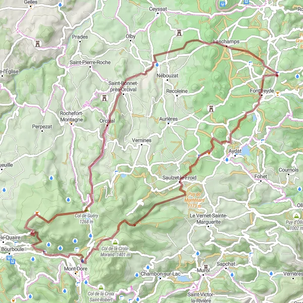
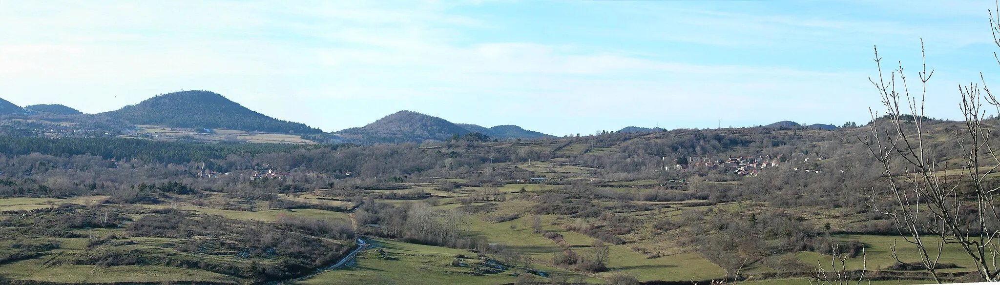
Embark on an exciting gravel adventure through Champanelle and discover its rugged landscapes and stunning natural highlights. This route is suitable for well-trained amateurs seeking a challenging off-road experience. With a total ascent of 1,764 meters and a distance of 73 kilometers, this gravel route promises to test your endurance and navigation skills. Indulge in the picturesque loop starting near Saint-Genès-Champanelle and head towards the highlight spots along the way.
gravel
73 km
1764 m
Tough
Route profile
Highlights on the route
0 km
0 km
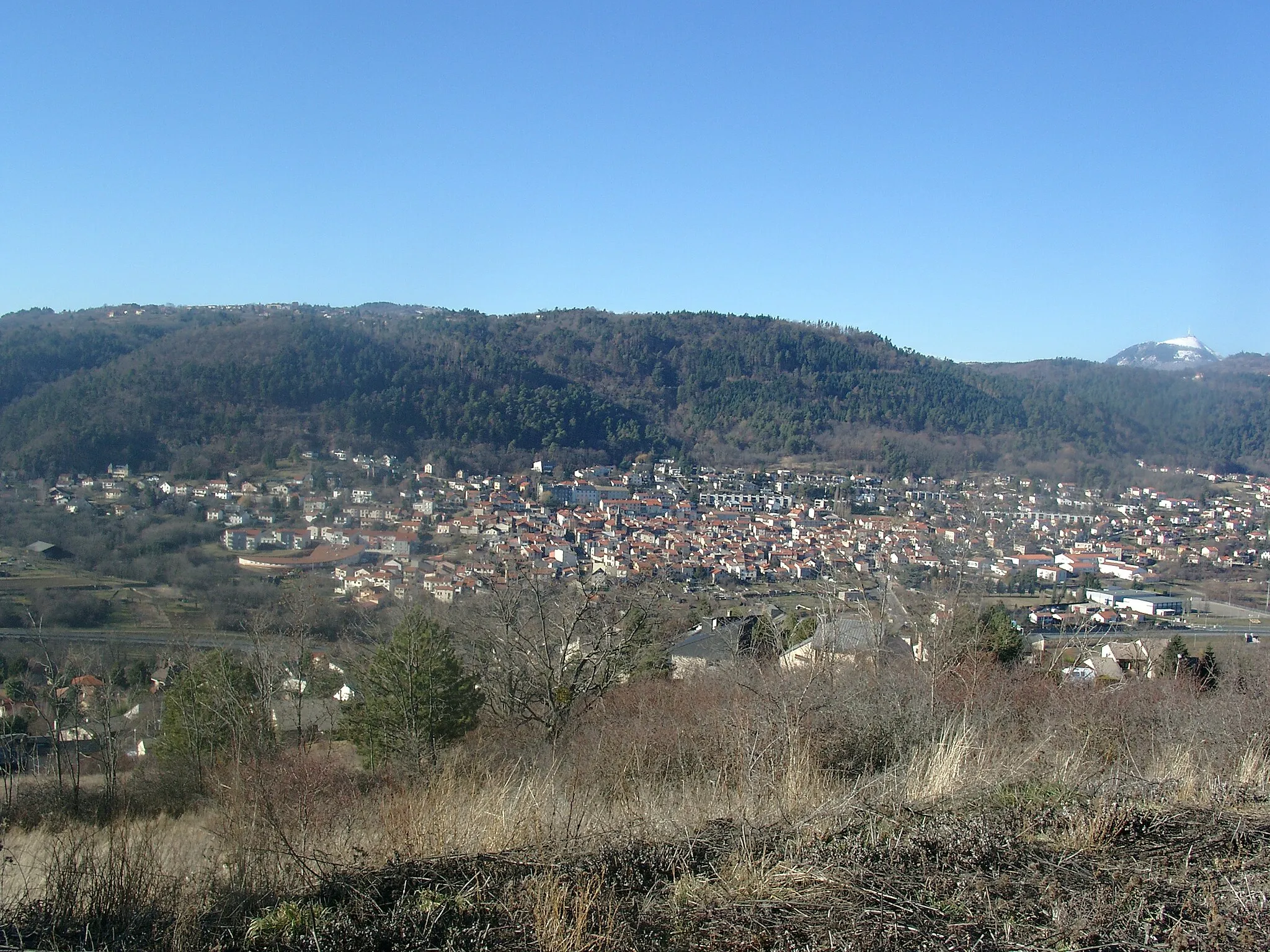
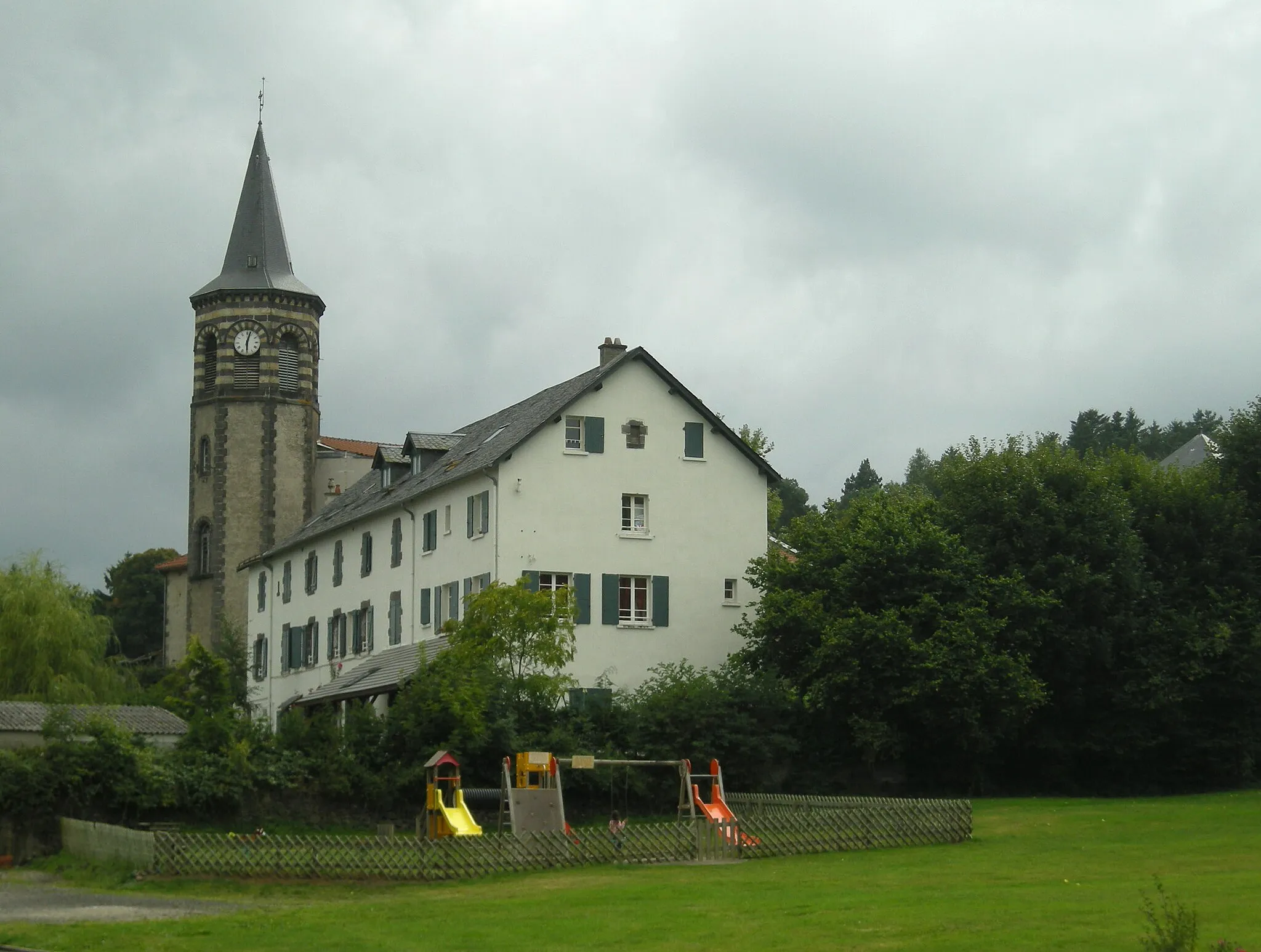
Start: Saint-Genès-Champanelle Village centerSaint-Genès-Champanelle: Conquer the famous climbs of Saint-Genès-Champanelle
Saint-Genès-Champanelle is a charming town located in the Auvergne region of France. From a cyclist's perspective, this locality offers great cycling opportunities. The landscapes are breathtaking and there are several well-known climbs in the area, such as Col de la Moreno. With its cycling-friendly environment and stunning natural beauty, Saint-Genès-Champanelle is a top destination for road and gravel cyclists.8 km
8 km
AydatVillageLocated at 8 kilometers on the route, Aydat offers breathtaking views over its beautiful lake, making it a perfect spot to take a break.
13 km
13 km
Puy de l'Enfer1086 mPeakAt 13 kilometers on the route, the Puy de l'Enfer will captivate you with its unique landscape and volcanic rock formations.
25 km
25 km
Col de la Croix-Morand1401 mMountain PassCol de la Croix-Morand, situated 25 kilometers into the route, rewards cyclists with stunning panoramic views of the surrounding mountain range.
32 km
32 km
Cascade de LegalWaterfallThe Cascade de Legal is a scenic waterfall located at 32 kilometers along the route, providing a tranquil atmosphere amidst nature's beauty.
45 km
45 km
Col de Guéry1268 mMountain PassCol de Guéry, appearing at 45 kilometers, offers a challenging climb along with magnificent vistas of the Champanelle region.
53 km
53 km
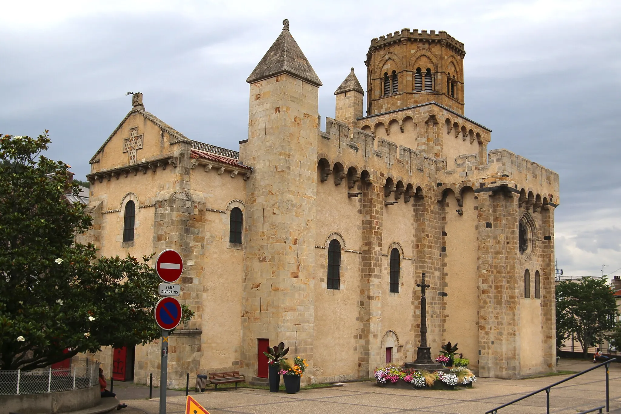
OrcivalVillageAt 53 kilometers into the route, Orcival boasts an impressive Romanesque basilica, perfect for cultural exploration.
66 km
66 km
Col de la Moréno1102 mMountain PassCol de la Moréno, appearing at 66 kilometers, presents cyclists with a demanding ascent and rewards them with spectacular views at the summit.
73 km
73 km
Saint-Genès-ChampanelleVillageThe journey concludes at 73 kilometers with the return to Saint-Genès-Champanelle, offering scenic landscapes and a sense of accomplishment.
73 km
73 km
Finish: Saint-Genès-Champanelle Village centerSaint-Genès-Champanelle: Conquer the famous climbs of Saint-Genès-Champanelle
Cycling routes nearby: