Champanelle Countryside Escape
A gravel cycling route starting from Saint-Genes-Champanelle
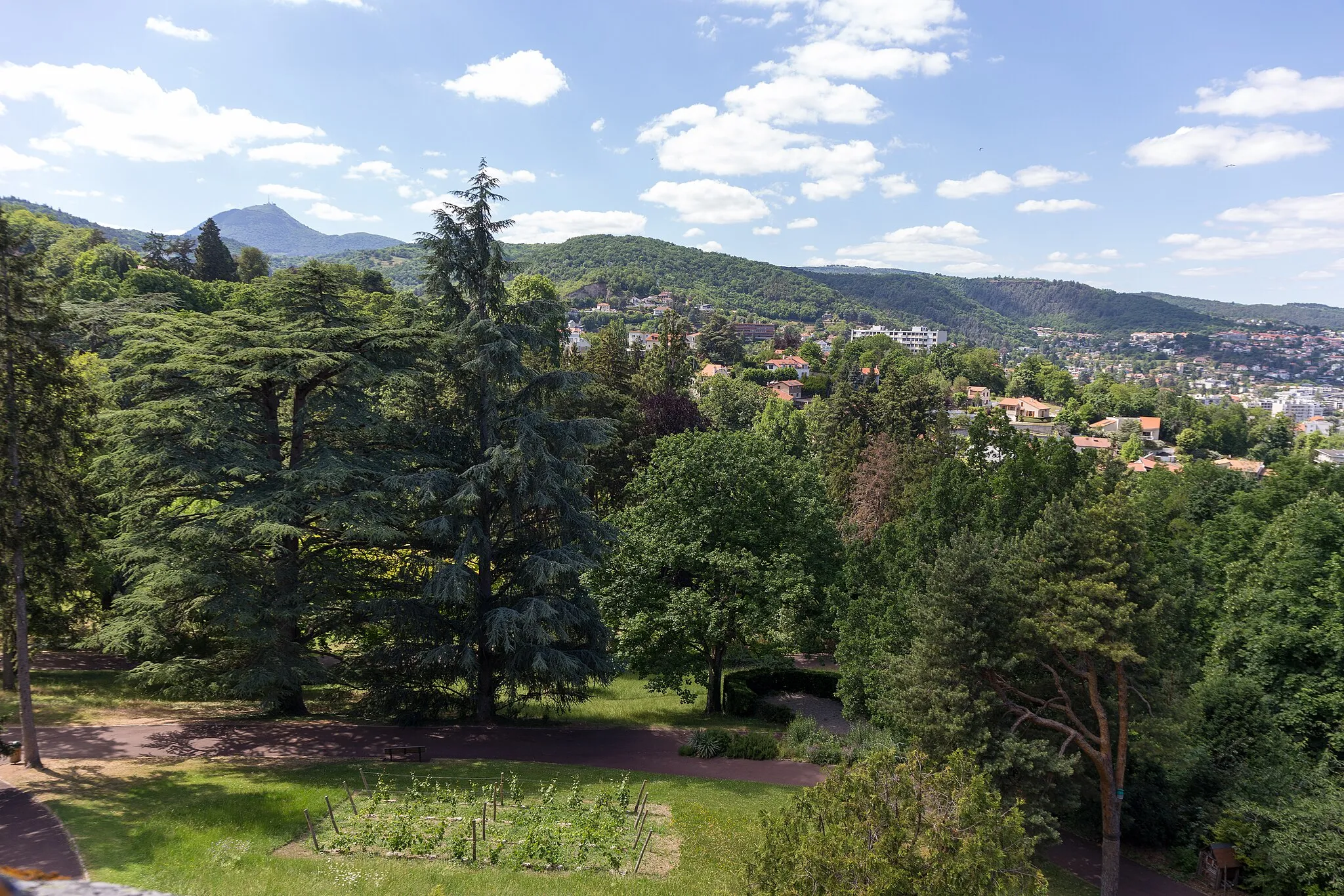
Escape the bustling city and immerse yourself in the charming Champanelle countryside
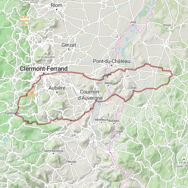
Map
Experience the tranquility of the Champanelle countryside as you embark on this scenic gravel route. With an ascent of 1,087 meters and a distance of 83 kilometers, this route offers well-trained amateurs an opportunity to explore the charming villages and captivating landscapes near Saint-Genès-Champanelle.
gravel
83 km
1087 m
Tough
Route profile
Highlights on the route
0 km
0 km
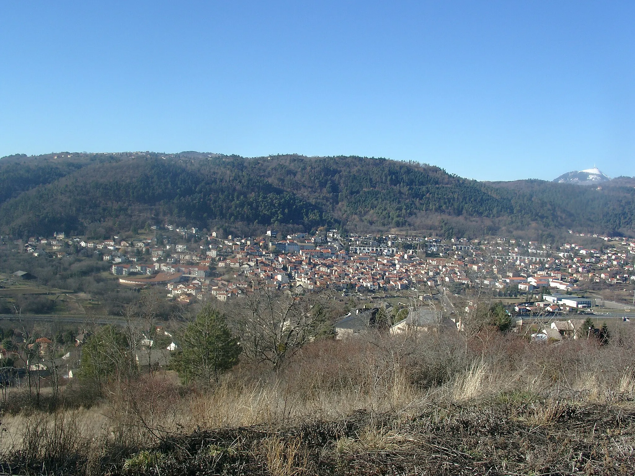
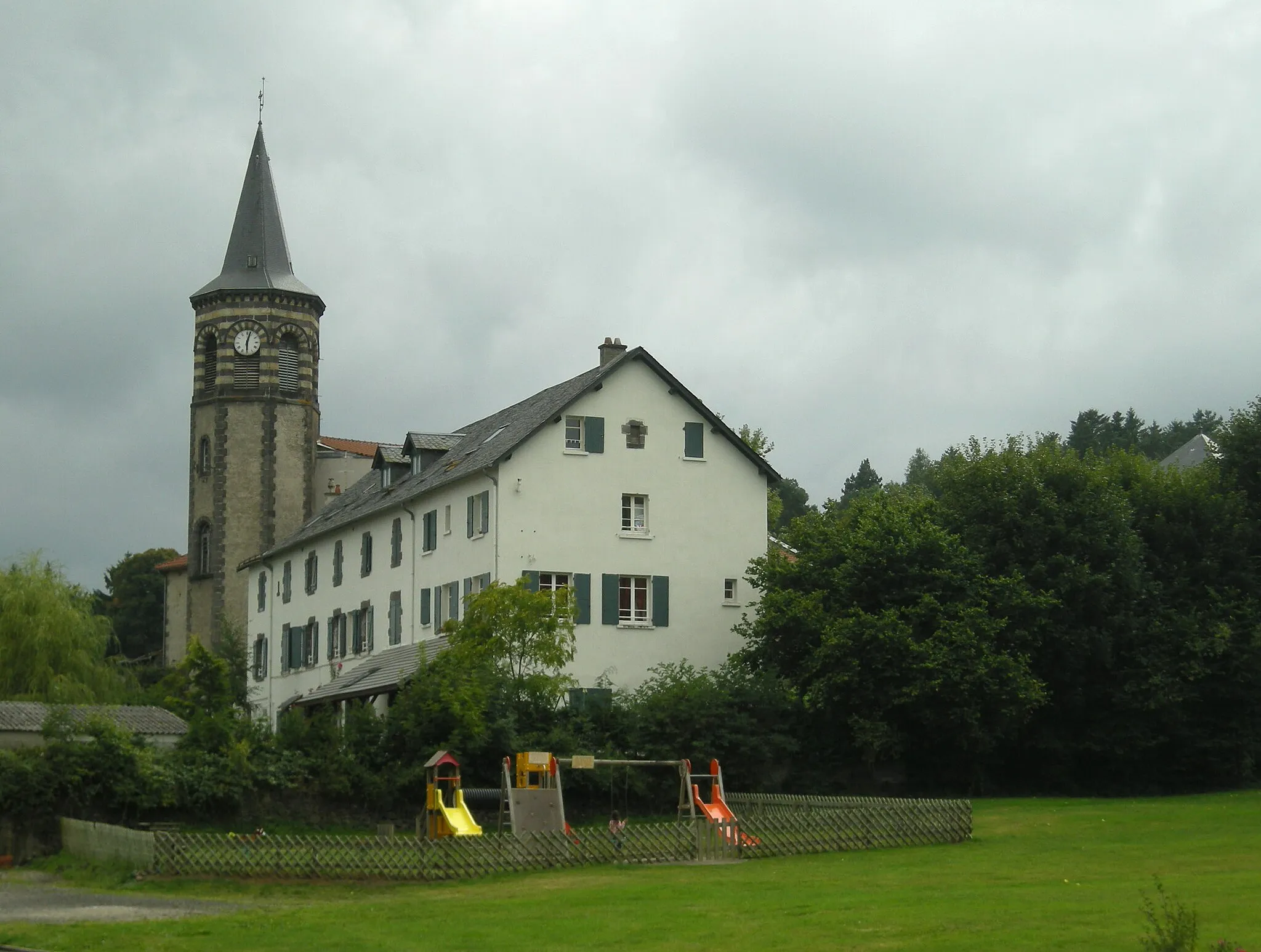
Start: Saint-Genès-Champanelle Village centerSaint-Genès-Champanelle: Conquer the famous climbs of Saint-Genès-Champanelle
Saint-Genès-Champanelle is a charming town located in the Auvergne region of France. From a cyclist's perspective, this locality offers great cycling opportunities. The landscapes are breathtaking and there are several well-known climbs in the area, such as Col de la Moreno. With its cycling-friendly environment and stunning natural beauty, Saint-Genès-Champanelle is a top destination for road and gravel cyclists.8 km
8 km
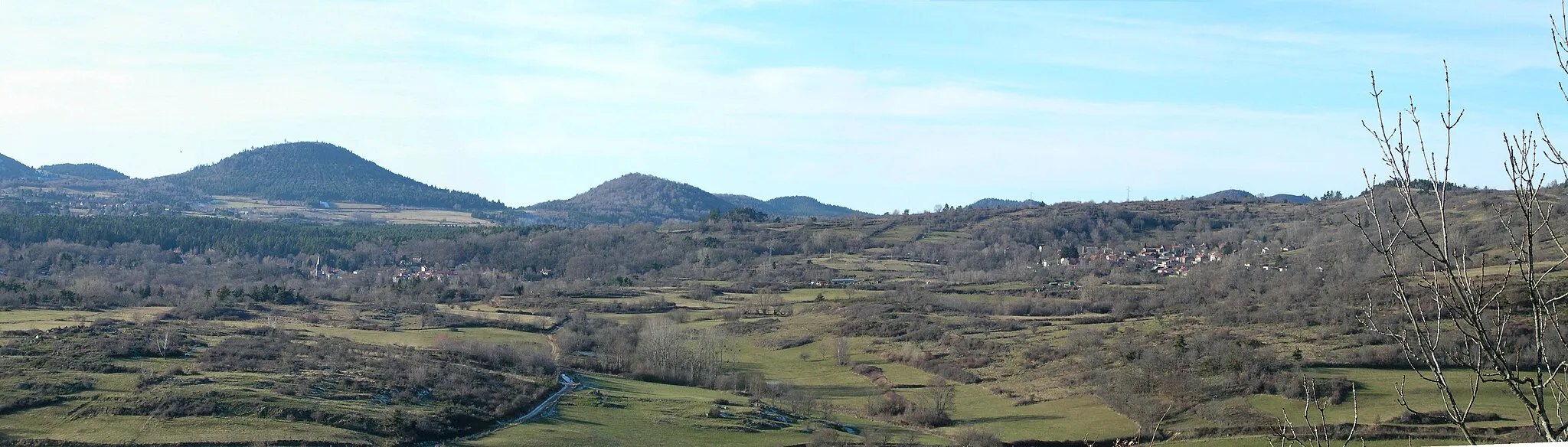
Puy de Montaudoux589 mPeakPuy de Montaudoux, located at 8 kilometers on the route, boasts panoramic views over the picturesque countryside, perfect for capturing memorable moments.
9 km
9 km
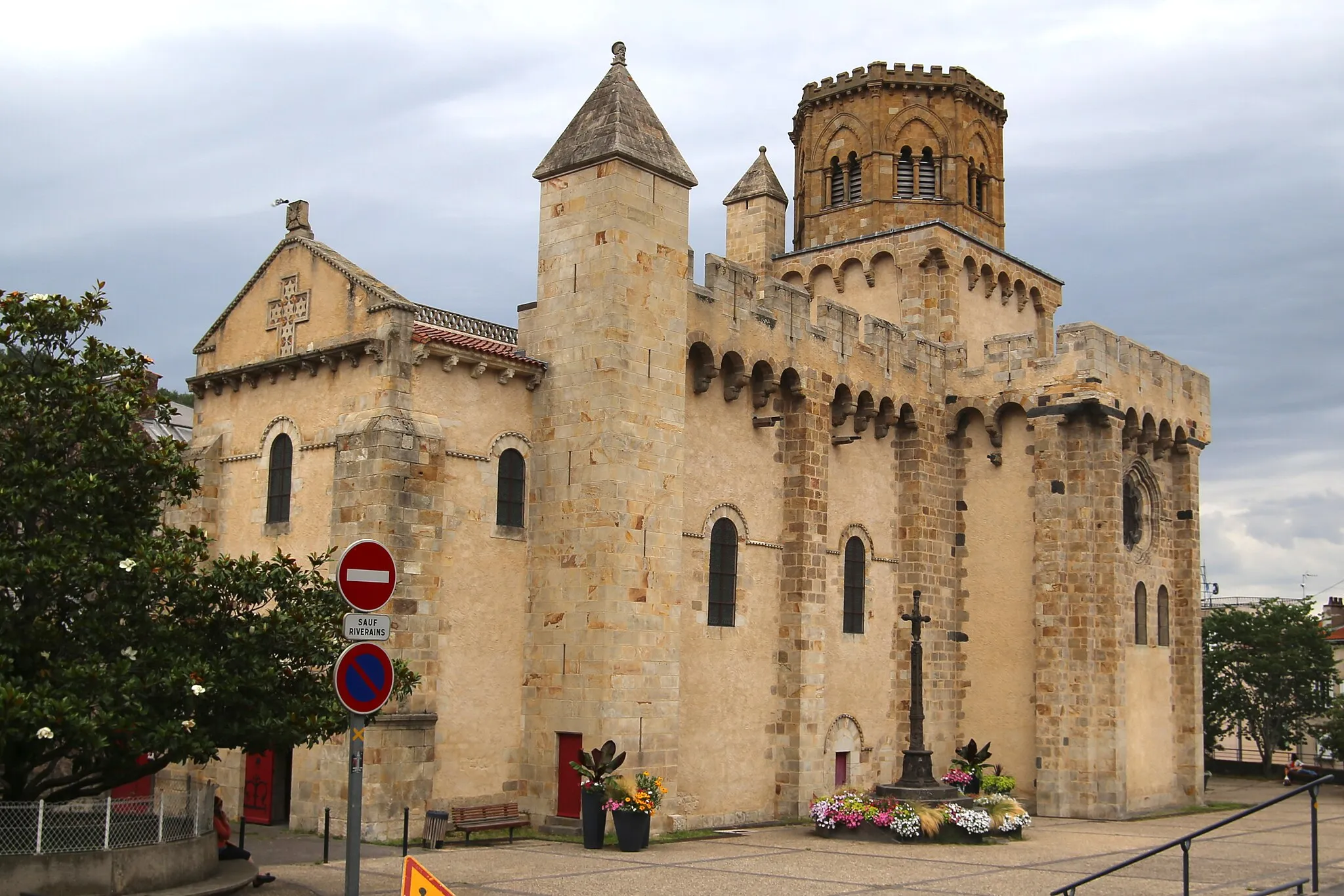
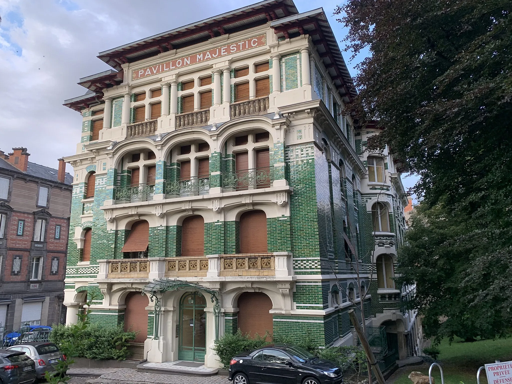
ChamalièresTownChamalières, appearing at 9 kilometers, invites cyclists to treat themselves to a well-deserved break in this charming town known for its thermal waters.
31 km
31 km
BouzelVillageBouzel, situated at 31 kilometers on the route, offers a glimpse of traditional French village life, with its quaint streets and historic buildings.
46 km
46 km
EspiratVillageEspirat, at 46 kilometers, is a delightful village showcasing centuries-old houses made from local materials, providing a window into the region's architectural heritage.
57 km
57 km
Pérignat-sur-AllierVillagePérignat-sur-Allier, appearing at 57 kilometers, tempts cyclists with a picturesque setting and charming streets, perfect for a leisurely exploration.
72 km
72 km
ChanonatVillageChanonat, situated at 72 kilometers, welcomes visitors with its historic chateau and panoramic views over the Allier Valley.
83 km
83 km
Saint-Genès-ChampanelleVillageThe journey concludes at 83 kilometers with the return to Saint-Genès-Champanelle, allowing riders to bask in the unmatched beauty of the local surroundings while reflecting on an enjoyable countryside adventure.
83 km
83 km
Finish: Saint-Genès-Champanelle Village centerSaint-Genès-Champanelle: Conquer the famous climbs of Saint-Genès-Champanelle
Cycling routes nearby: