Orléat Gravel Route
A gravel cycling route starting from Orleat
An adventurous gravel route starting from Orléat
Map
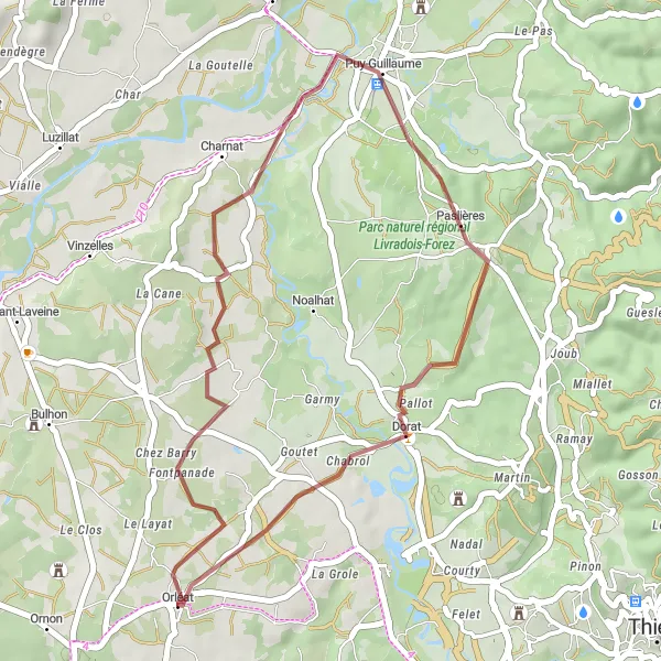
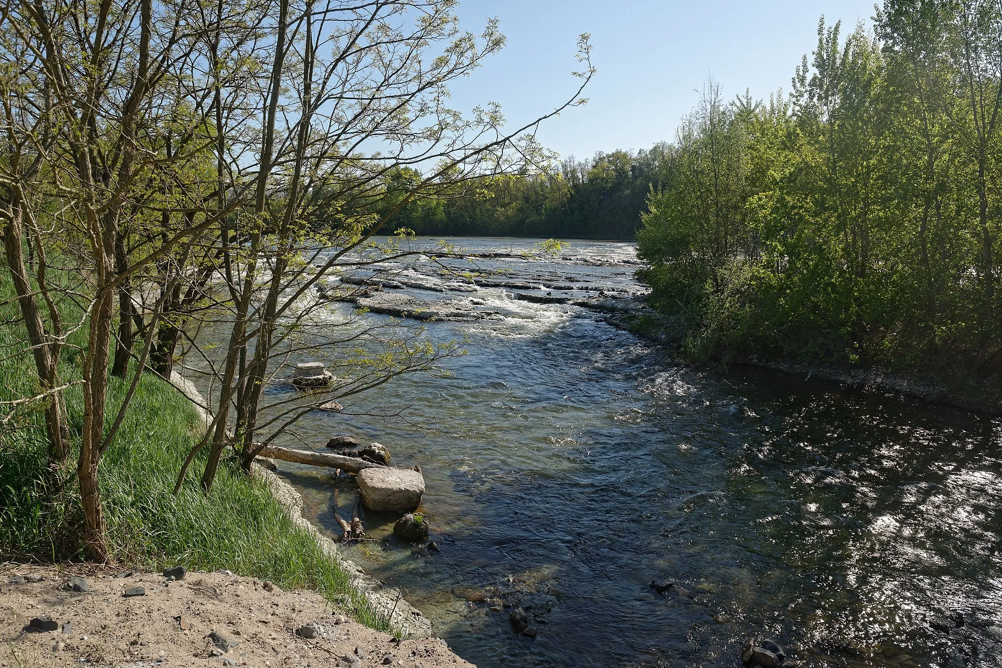
This gravel route starting from Orléat offers stunning views of the French countryside. With an ascent of 233 meters and a distance of 31 kilometers, it is suitable for well-trained amateur cyclists. The route features highlights such as Paslières and Dorat, which add to its charm.
gravel
31 km
233 m
Chill
Route profile
Highlights on the route
0 km
0 km
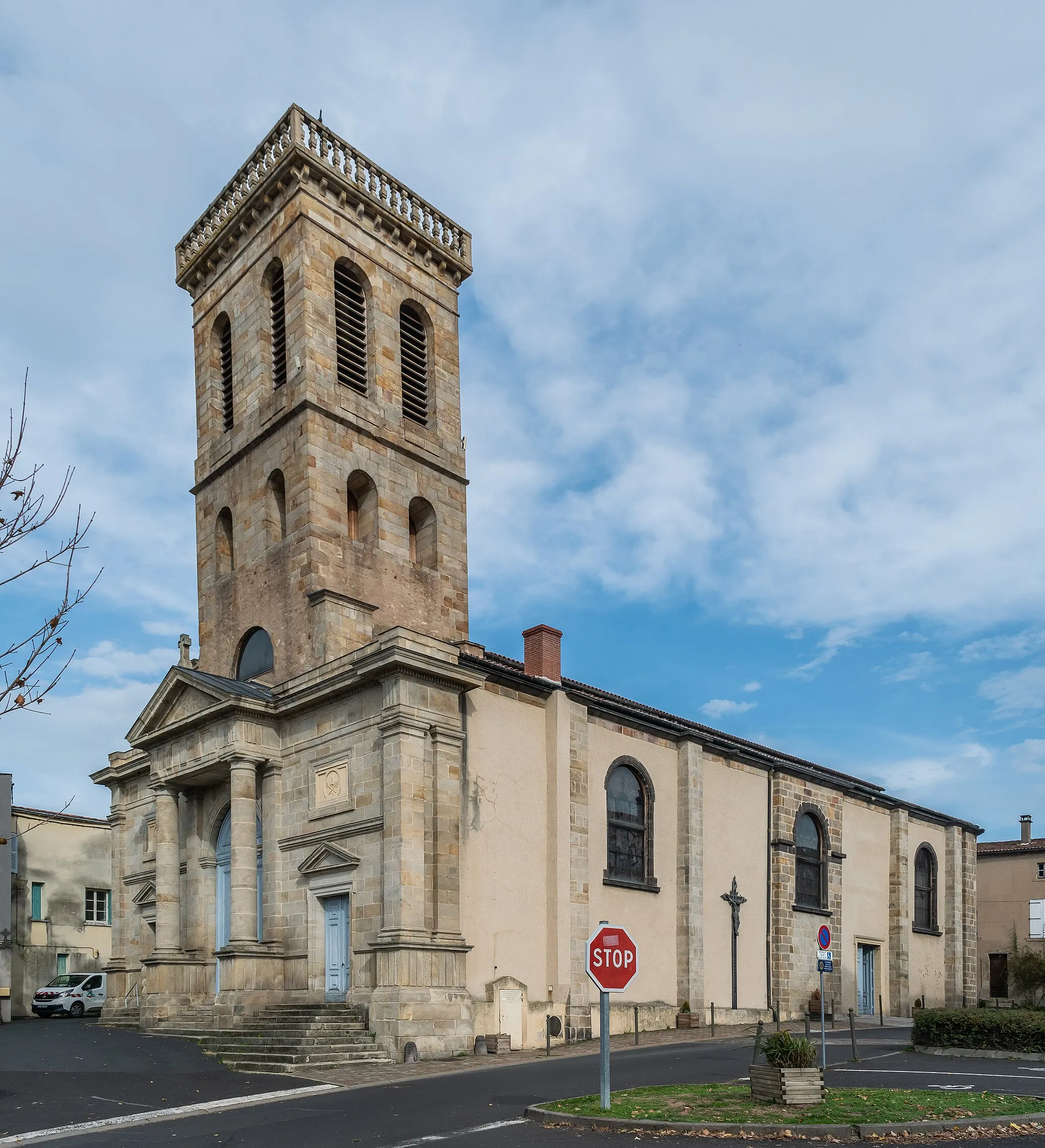
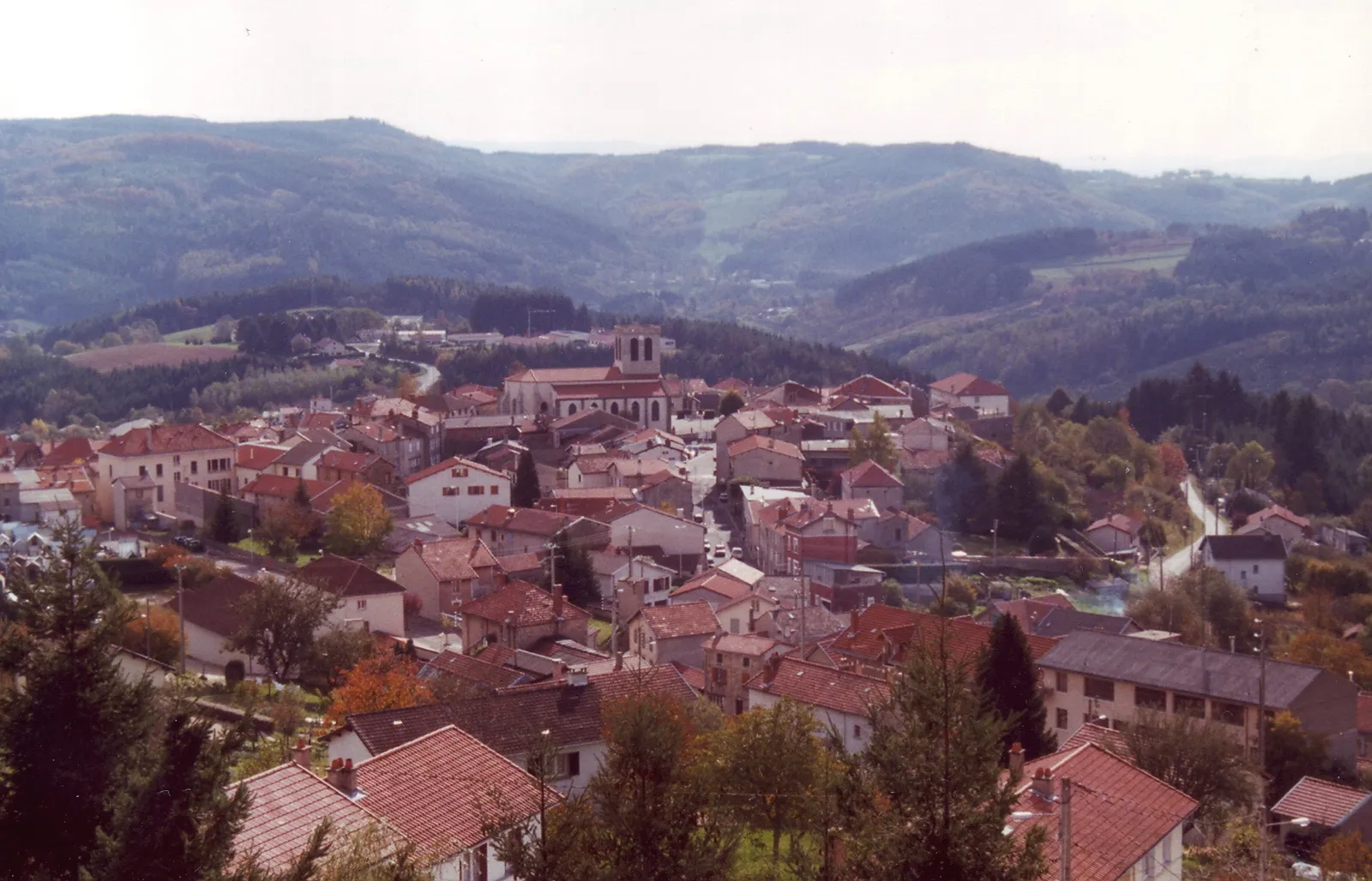
Start: Orléat Village centerOrléat: Cycle through idyllic landscapes in the heart of France
Orléat is a locality located in the Auvergne region of France. From a cyclist's perspective, the area offers diverse cycling routes suitable for both road and gravel cyclists. The region is characterized by rolling hills, idyllic landscapes, and quiet country roads, making it an excellent place for cycling adventures. While Orléat itself doesn't have any famous cycling spots or well-known climbs nearby, its surrounding natural beauty and tranquility make it an appealing destination for both recreational and more experienced cyclists.0 km
0 km
OrléatVillageLocated in Orléat, this highlight offers a glimpse into the beautiful landscapes of Auvergne.
19 km
19 km
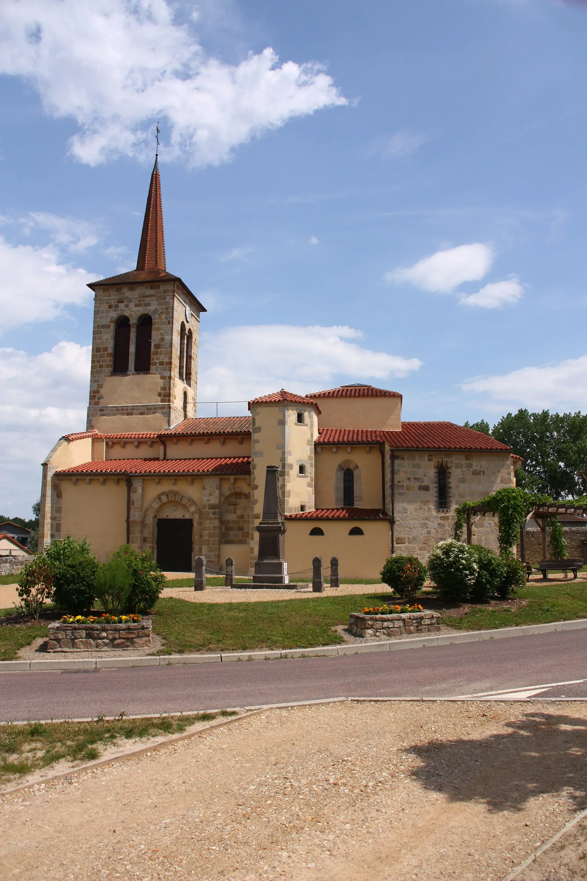
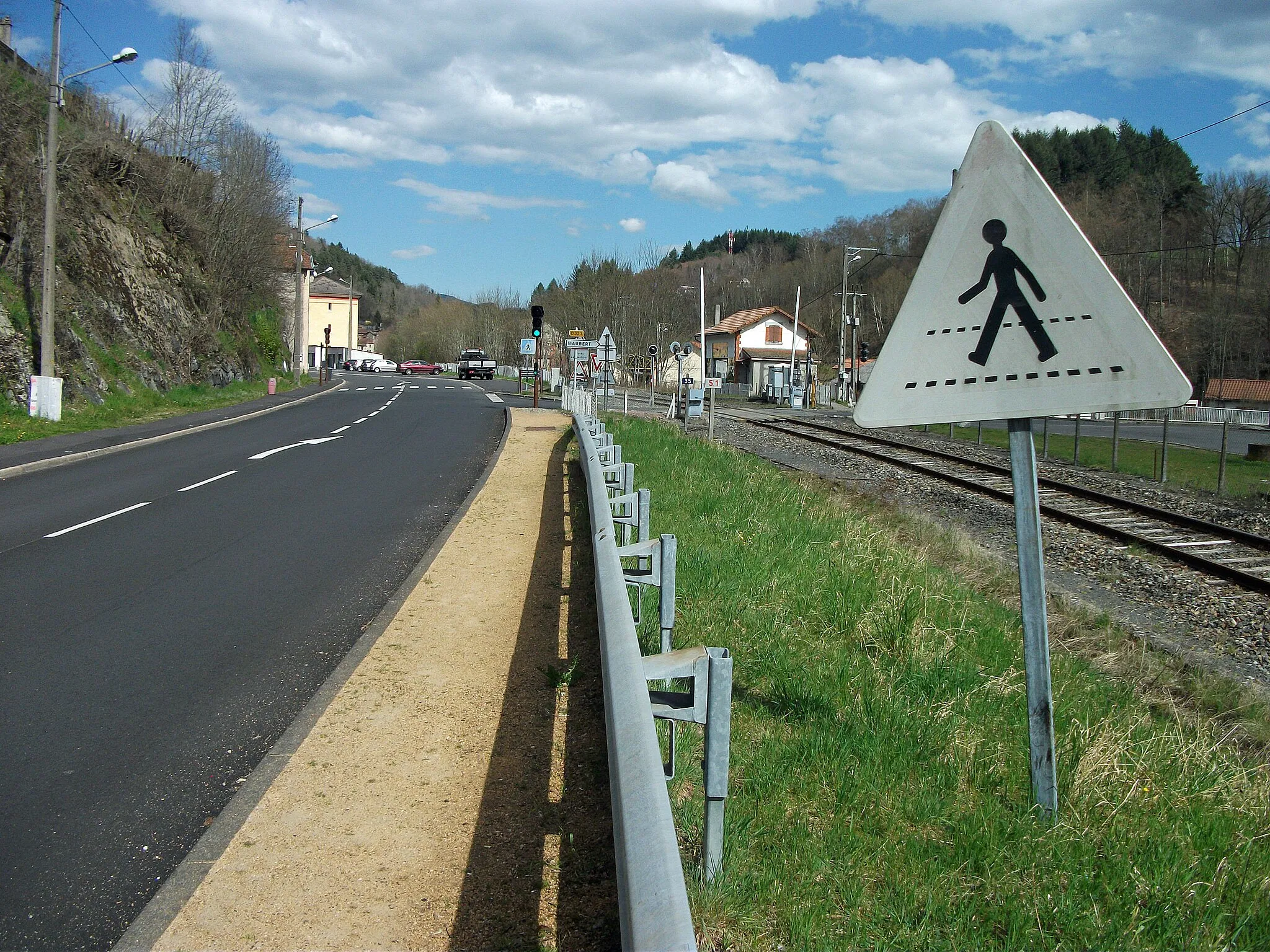
PaslièresVillagePaslières on the route is a picturesque village with quaint cafes and charming streets.
25 km
25 km
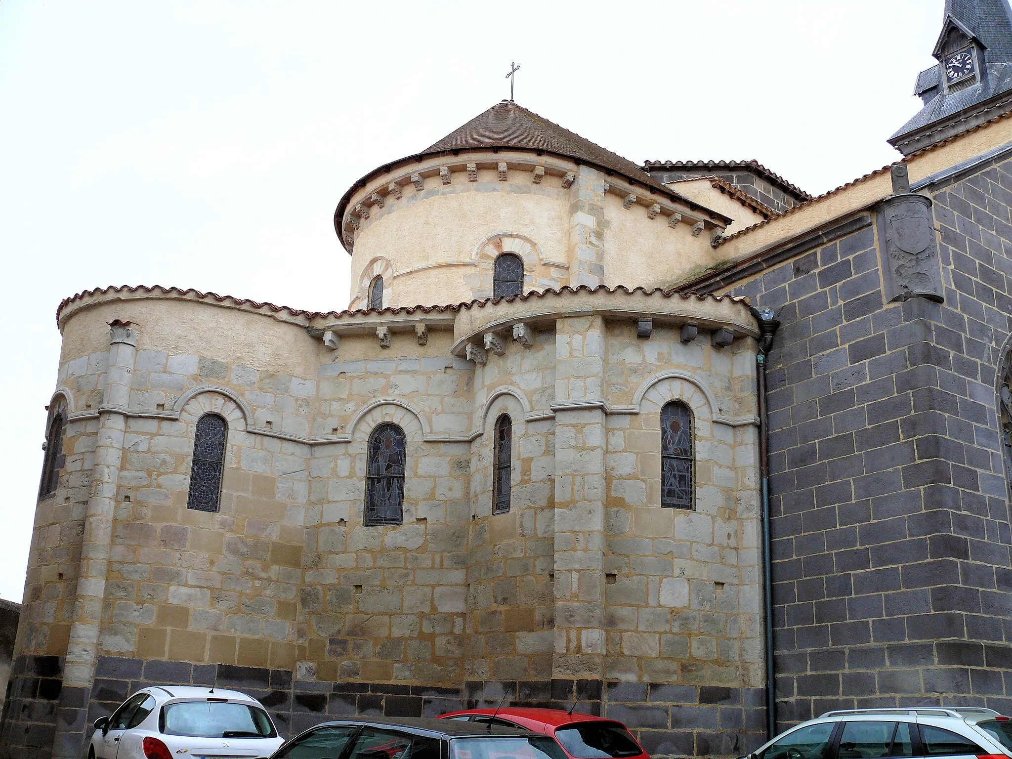
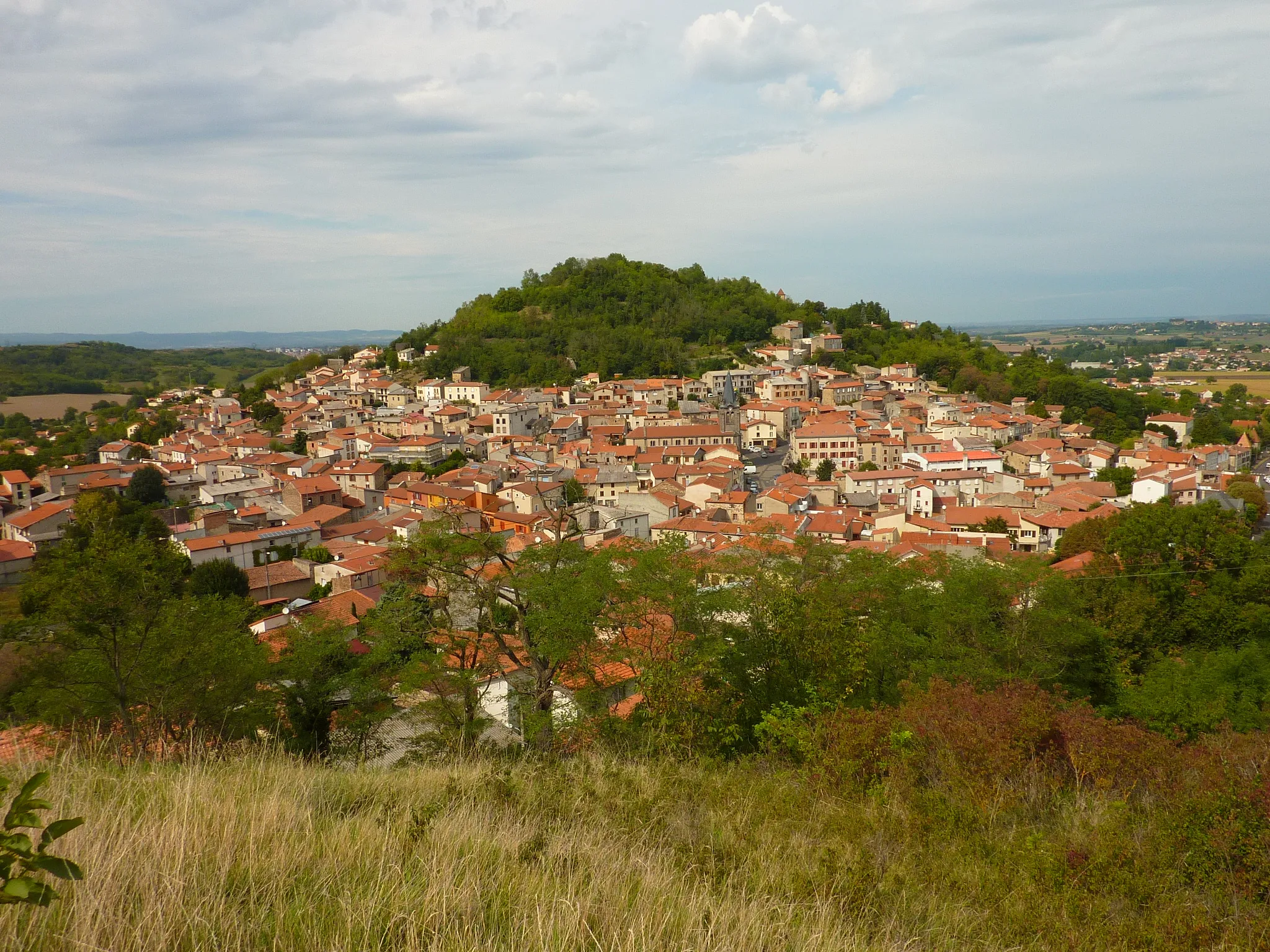
DoratVillageDorat, situated along the route, boasts historical architecture and traditional French culture.
31 km
31 km
Finish: Orléat Village centerOrléat: Cycle through idyllic landscapes in the heart of France
Cycling routes nearby: