Montoncel Loop
A gravel cycling route starting from Puy-Guillaume
Embark on an epic gravel adventure through the Montoncel region
Map
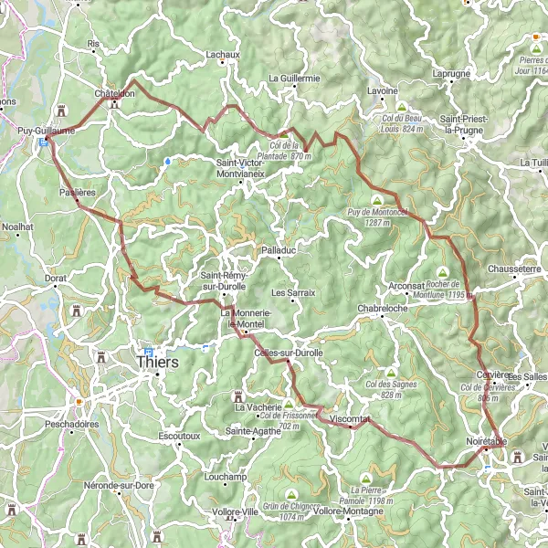
The Montoncel Loop is a challenging gravel route that takes you through the stunning Montoncel region. With a total ascent of 1948 meters over a distance of 84 kilometers, this route is not for the faint-hearted. Experience the thrill of conquering steep climbs and descending exhilarating trails. Along the way, you will encounter breathtaking panoramic views and beautiful natural landscapes.
gravel
84 km
1948 m
Savage
Route profile
Highlights on the route
0 km
0 km
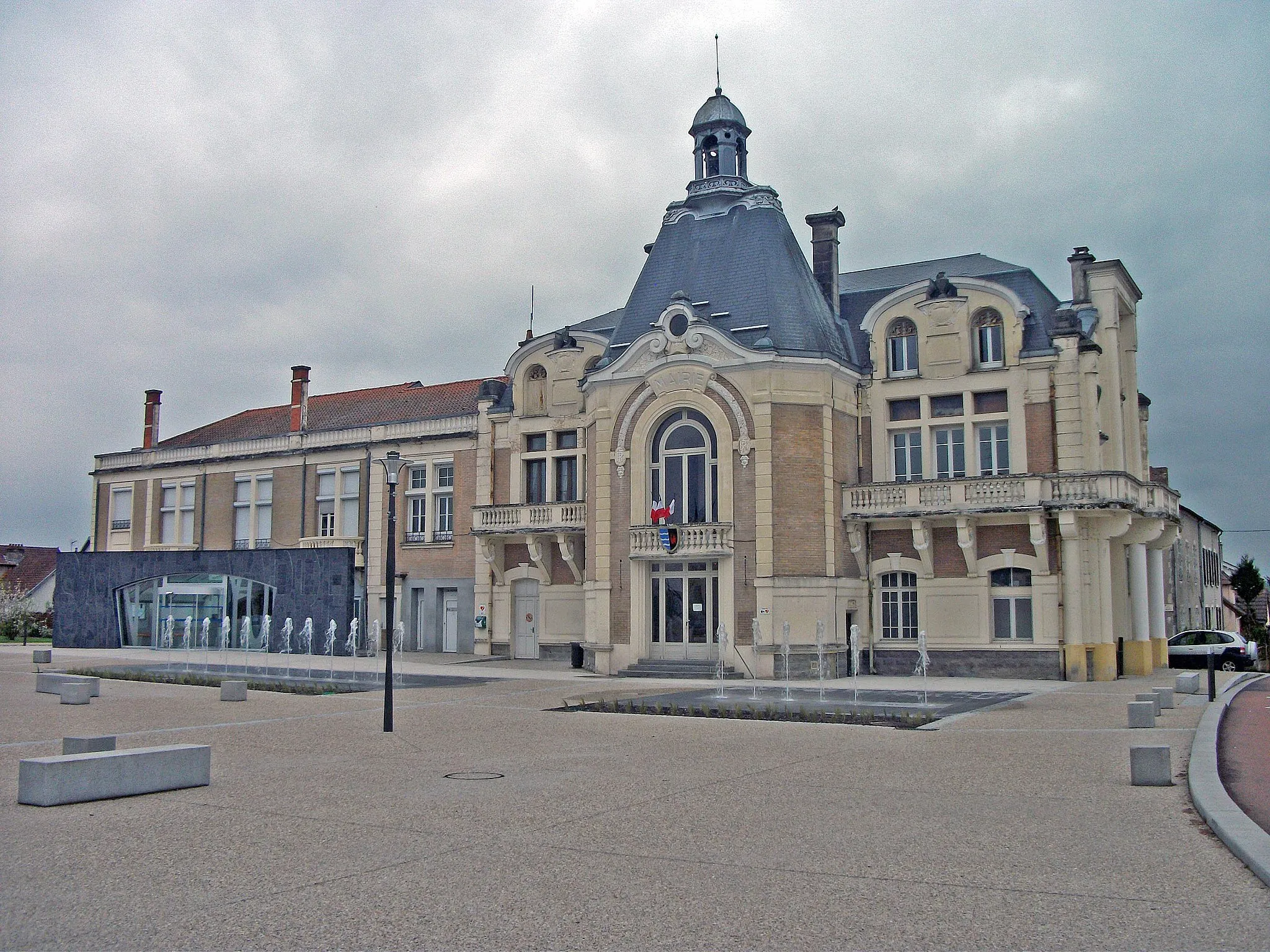
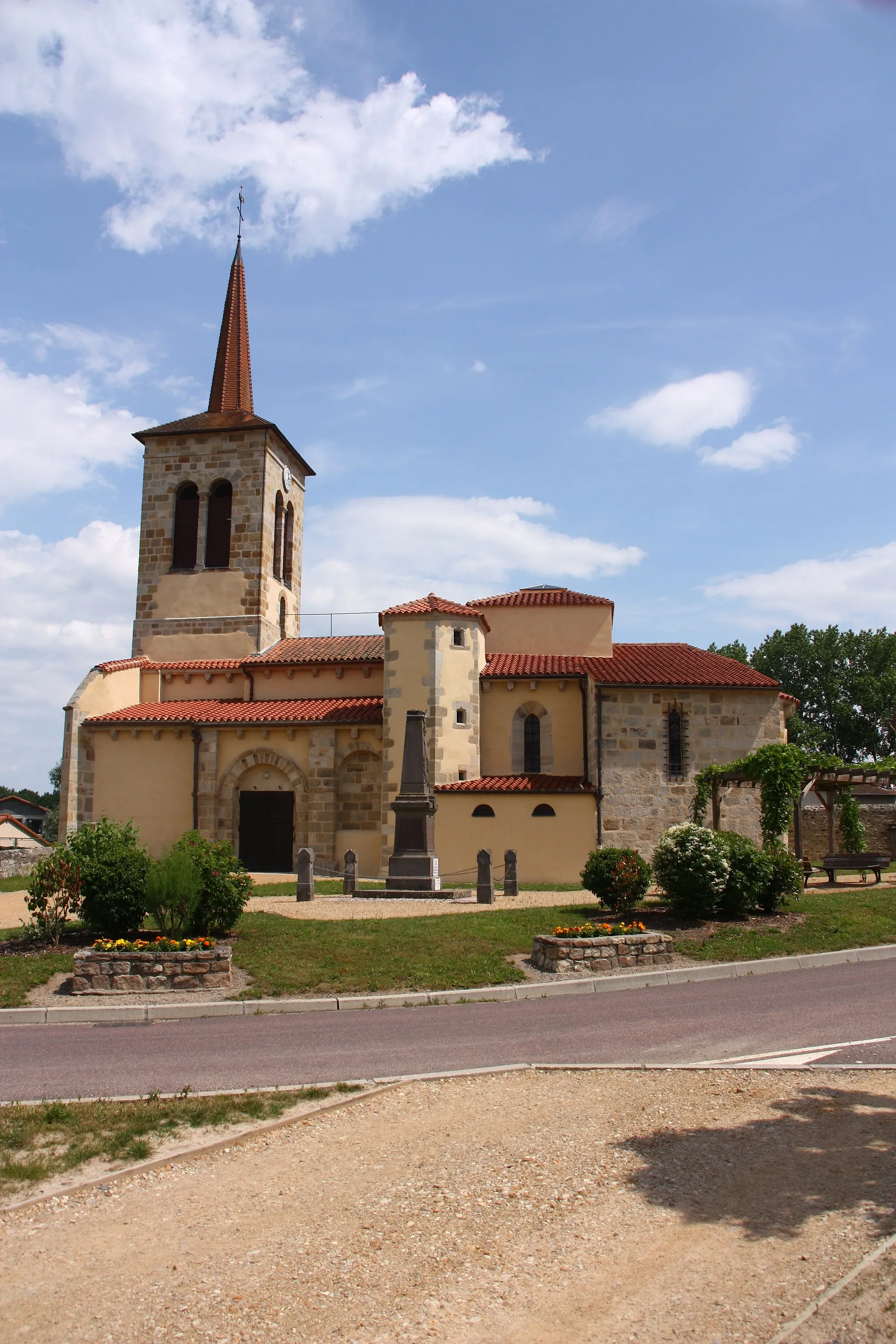
Start: Puy-Guillaume Village centerPuy-Guillaume: A cyclist's paradise in Auvergne
Puy-Guillaume, situated in the Auvergne region of France, is a hidden gem for road and gravel cycling enthusiasts. The locality offers scenic routes through the rolling hills and picturesque countryside, making it a perfect destination for leisurely rides or more challenging cycling excursions. Cyclists can also explore the nearby Livradois-Forez Regional Natural Park, famous for its well-maintained routes and breathtaking panoramas. Puy-Guillaume provides a peaceful and cycling-friendly environment, perfect for riders seeking tranquility and natural beauty.0 km
0 km
Puy-GuillaumeVillagePuy-Guillaume is a famous spot for cyclists, known for its challenging climbs and thrilling descents. It's a must-visit destination for any cycling enthusiast.
16 km
16 km
Rez de SolViewpointRez de Sol is a scenic spot where you can enjoy breathtaking views of the surrounding mountains and valleys. Take a moment to soak in the beauty of nature.
27 km
27 km
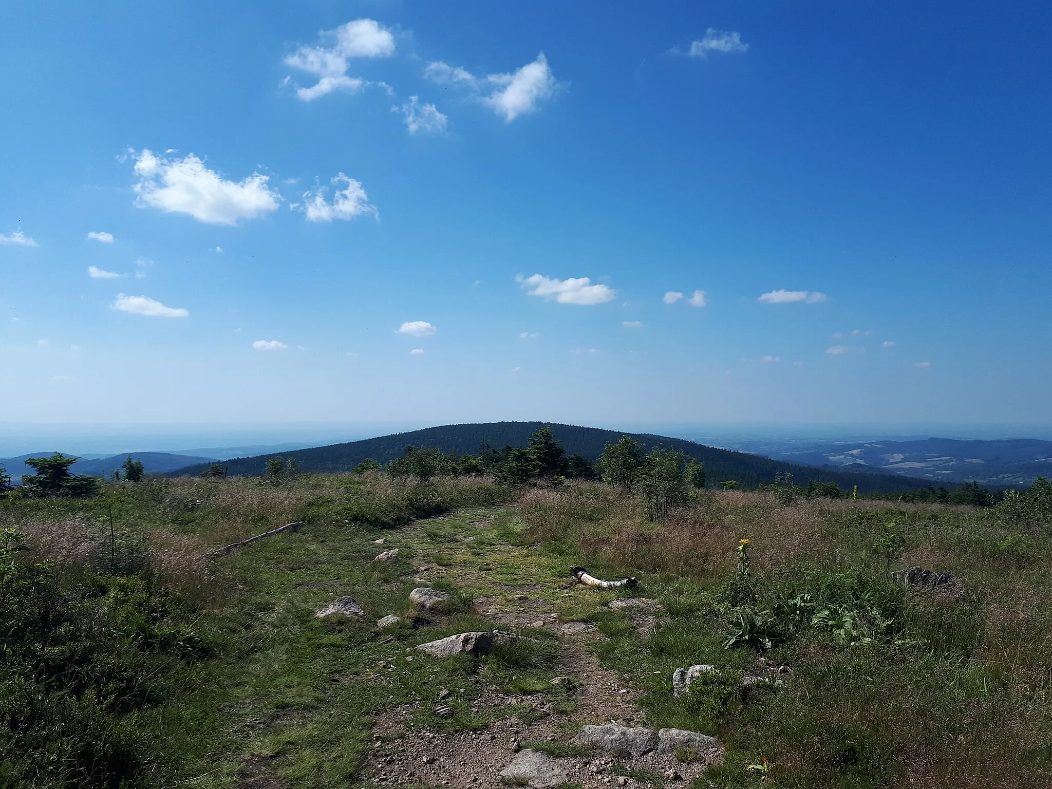
Puy de Montoncel1287 mPeakPuy de Montoncel, an extinct volcano, offers a unique cycling experience. Challenge yourself to reach the summit and marvel at the expansive views.
41 km
41 km
Col de Cervières806 mMountain PassCol de Cervières is a challenging mountain pass that offers stunning views of the Montoncel region. Test your climbing skills and reward yourself with the beautiful surroundings.
46 km
46 km
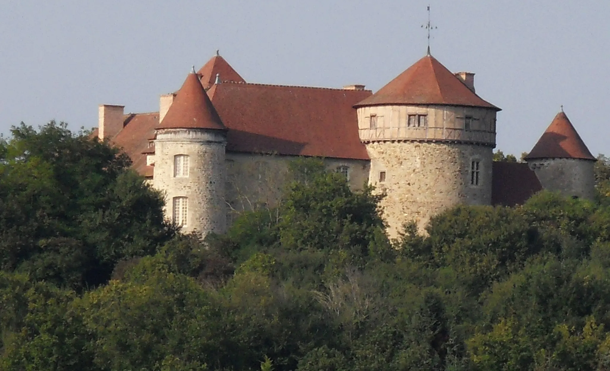
NoirétableVillageNoirétable is a picturesque village nestled in the Montoncel region. Stop by and explore its charming streets and historic sites.
59 km
59 km
Col de Frissonnet702 mMountain PassCol de Frissonnet is a tough climb that takes you through dense forests and offers panoramic views of the Montoncel region. Challenge yourself and enjoy the rewarding scenery.
62 km
62 km
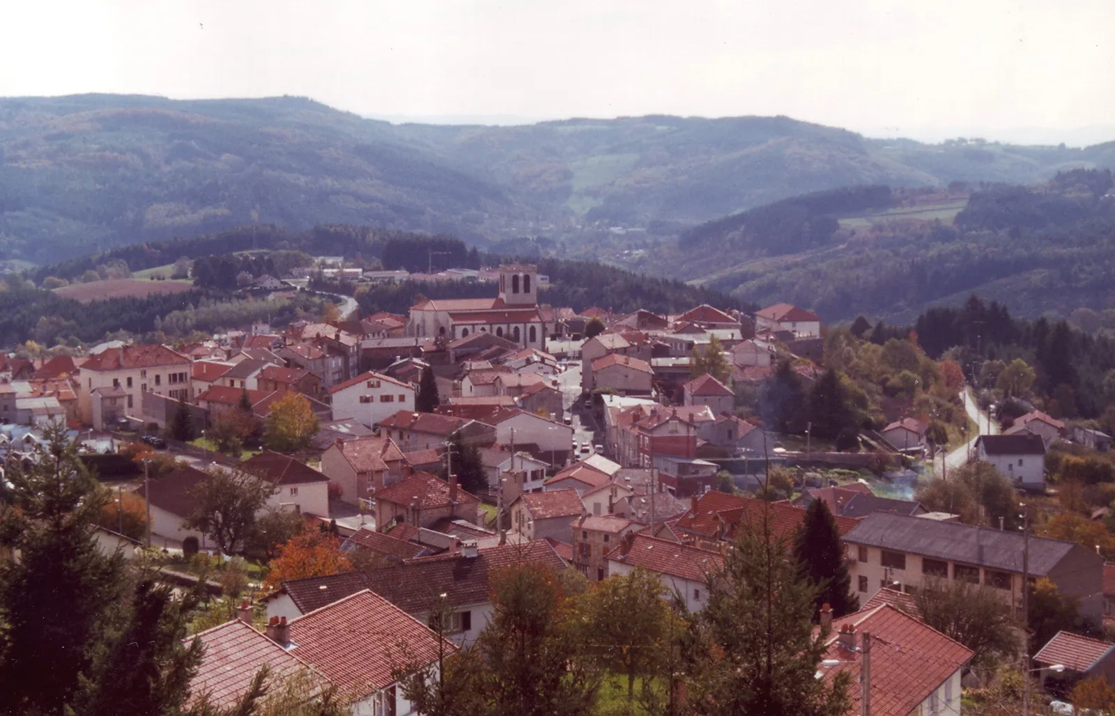
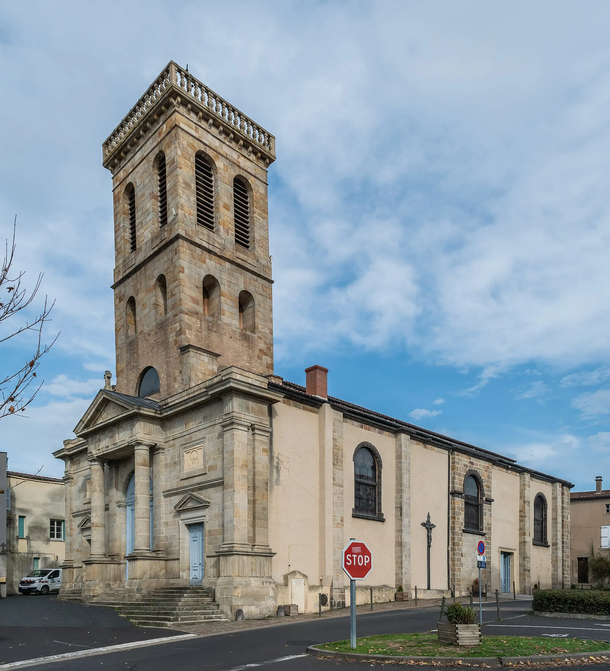
Celles-sur-DurolleVillageCelles-sur-Durolle is a peaceful town located on the banks of the Durolle River. Take a break and relax by the water before continuing on your cycling journey.
80 km
80 km
PaslièresVillagePaslières is a charming village surrounded by rolling hills and beautiful landscapes. Explore its picturesque streets and immerse yourself in the tranquility of the countryside.
84 km
84 km
Finish: Puy-Guillaume Village centerPuy-Guillaume: A cyclist's paradise in Auvergne
Cycling routes from Puy-Guillaume:
Vichy Loop Puy-Guillaume Loop via Beaumont-lès-Randan, Brugheas, Creuzier-le-Neuf, Molles, and Châteldon Châteldon Circuit Puy-Guillaume to Beaumont-lès-Randan, Villeneuve-les-Cerfs, Espinasse-Vozelle, Site des Hurlevents, Abrest, Mariol, and Château de la Bâtisse Gravel Adventure to Paslières, ILOA, Bort-l'Étang, Lezoux, and Charnat Limons Cycle Route Scenic Gravel Route to Limons, Butte de Barnazat, Escurolles, Vichy, Saint-Yorre, and Château de la Bâtisse Montoncel Loop Gravel Adventure to Bulhon, Maringues, and Limons Peschadoires Route Scenic Loop from Puy-Guillaume Gravel Adventure near Puy-Guillaume Puy-Guillaume Challenge Puy-Guillaume Loop Cultural Cycling Tour from Puy-Guillaume The Auvergne Hills and Valleys
Cycling routes nearby: