Puy Giroux Circuit Gravel Route
A gravel cycling route starting from Romagnat
Experience the thrill of riding through the challenging Puy Giroux circuit
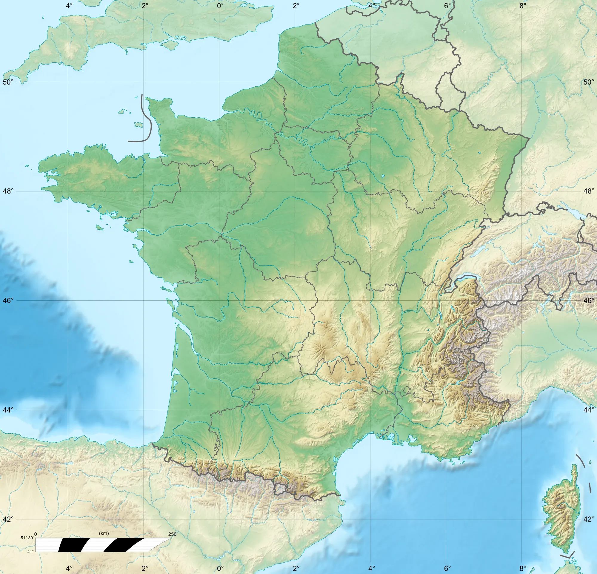
Map
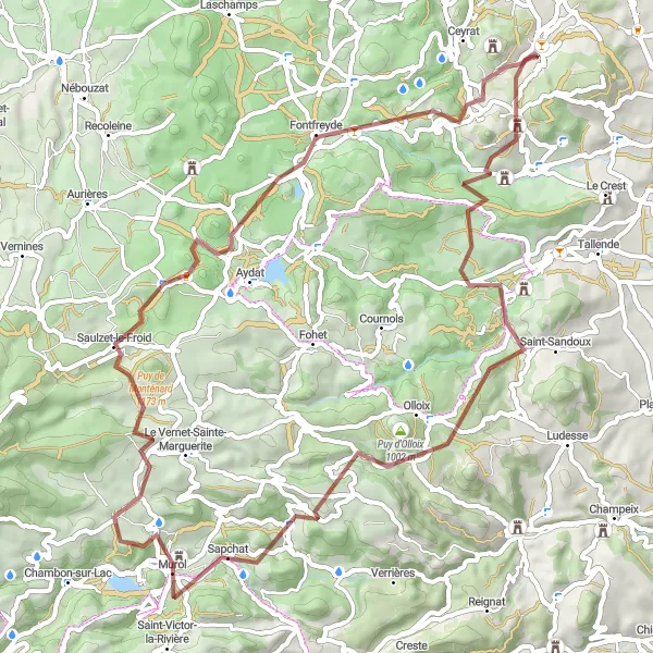
This gravel route offers a challenging ride through the Puy Giroux circuit, with highlights including the scenic village of Saint-Saturnin and the majestic Puy d'Olloix.
gravel
67 km
1554 m
Tough
Route profile
Highlights on the route
0 km
0 km
Start: Romagnat Village centerRomagnat: Explore the volcanic landscapes of Romagnat.
Romagnat is a locality in the Auvergne region of France. It is a small and picturesque town that offers great cycling opportunities for road and gravel cyclists. The area is characterized by its beautiful landscapes, including forests, valleys, and volcanic hills. Cyclists can ride through the Parc naturel régional des Volcans d'Auvergne, which is home to several fascinating geological formations. For those seeking challenging climbs, the Col du Tourmalet and the Mont Aigoual are within driving distance. Romagnat is a hidden gem for cyclists looking for natural beauty and diverse terrain.3 km
3 km
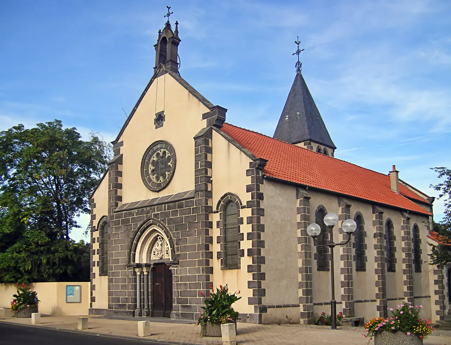
ChanonatVillageChanonat is a charming village with narrow streets and historic buildings.
4 km
4 km
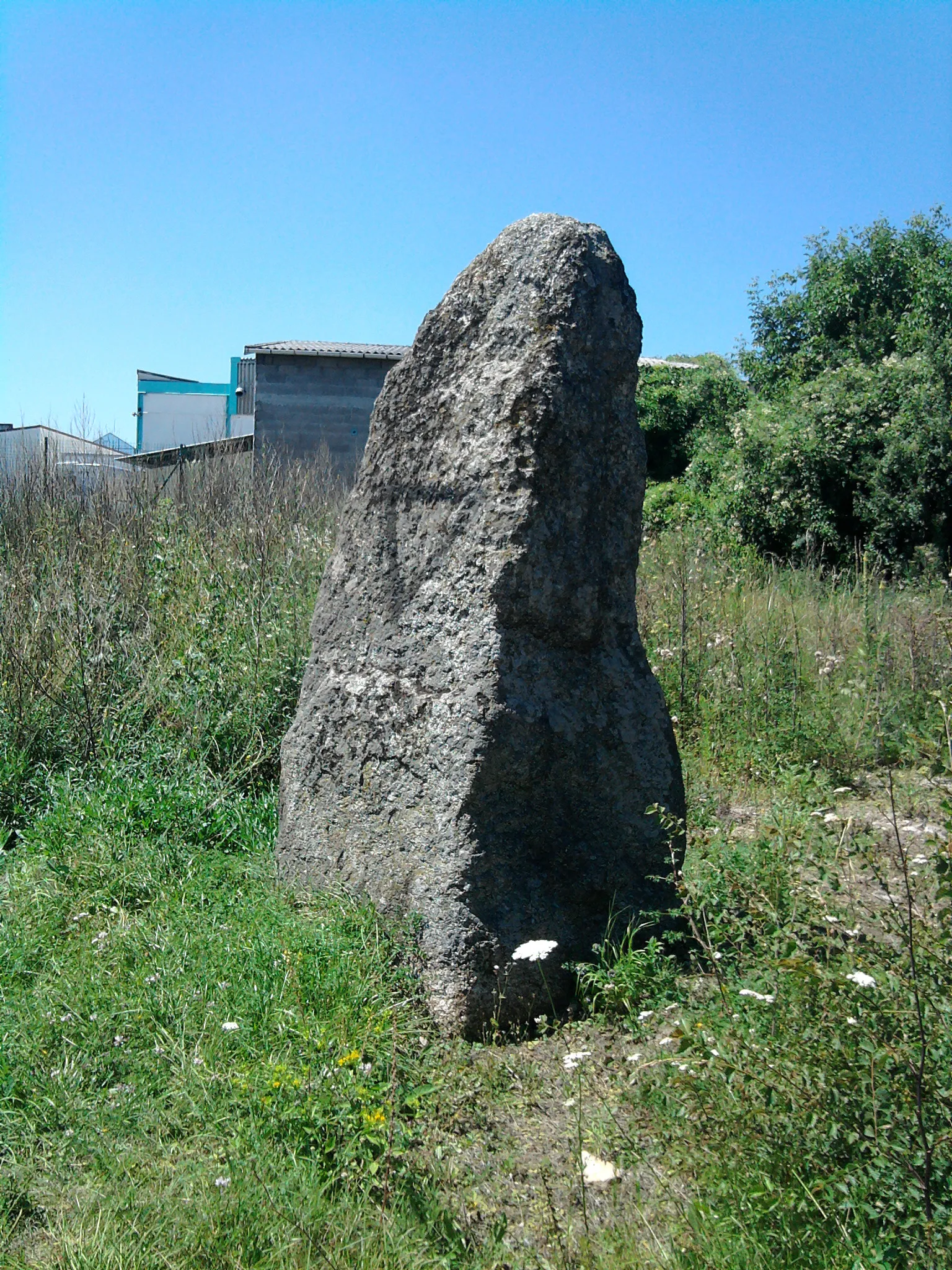
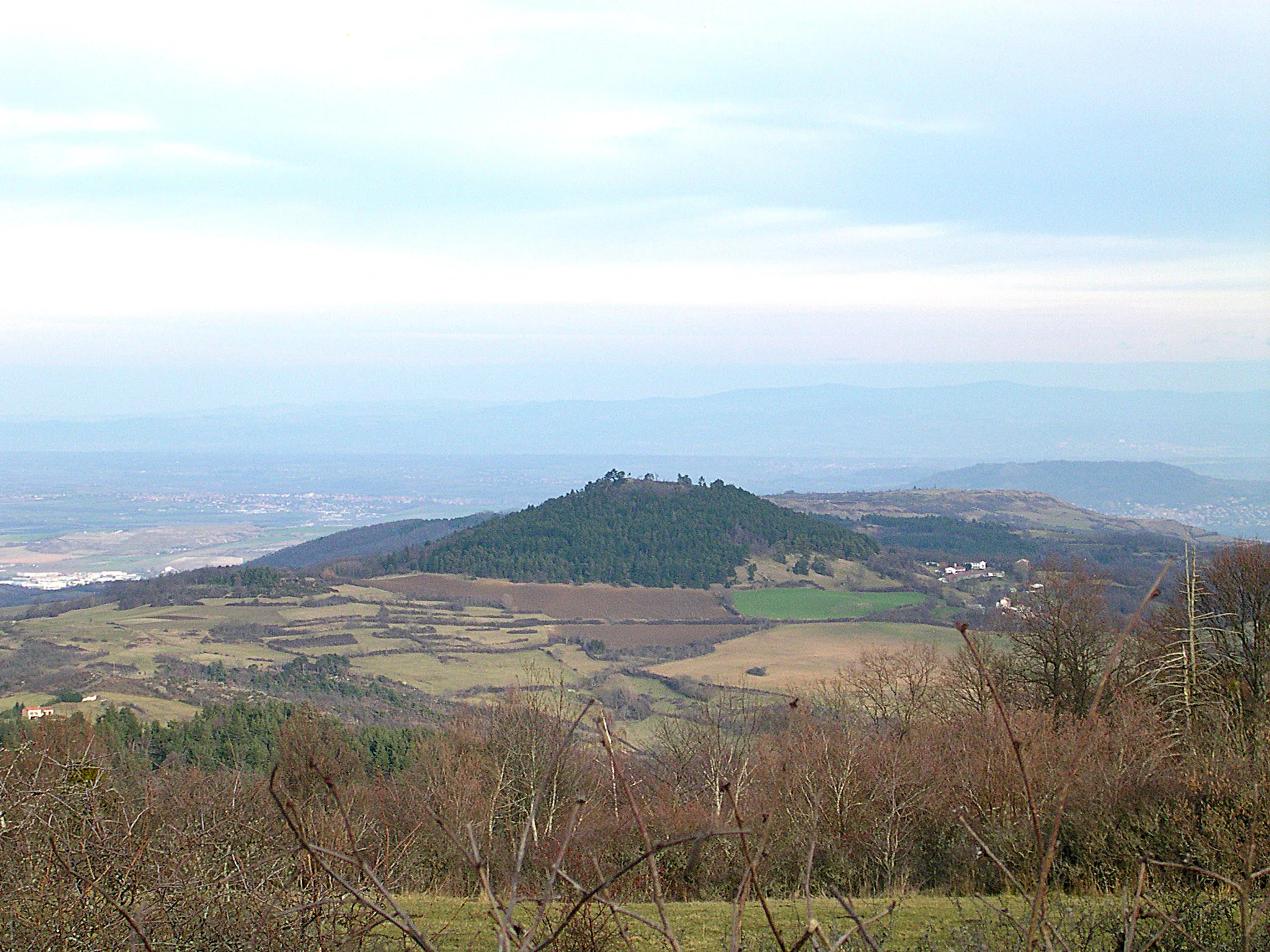
Puy Giroux837 mPeak ViewpointPuy Giroux offers breathtaking views of the surrounding landscape and is popular among cyclists.
12 km
12 km
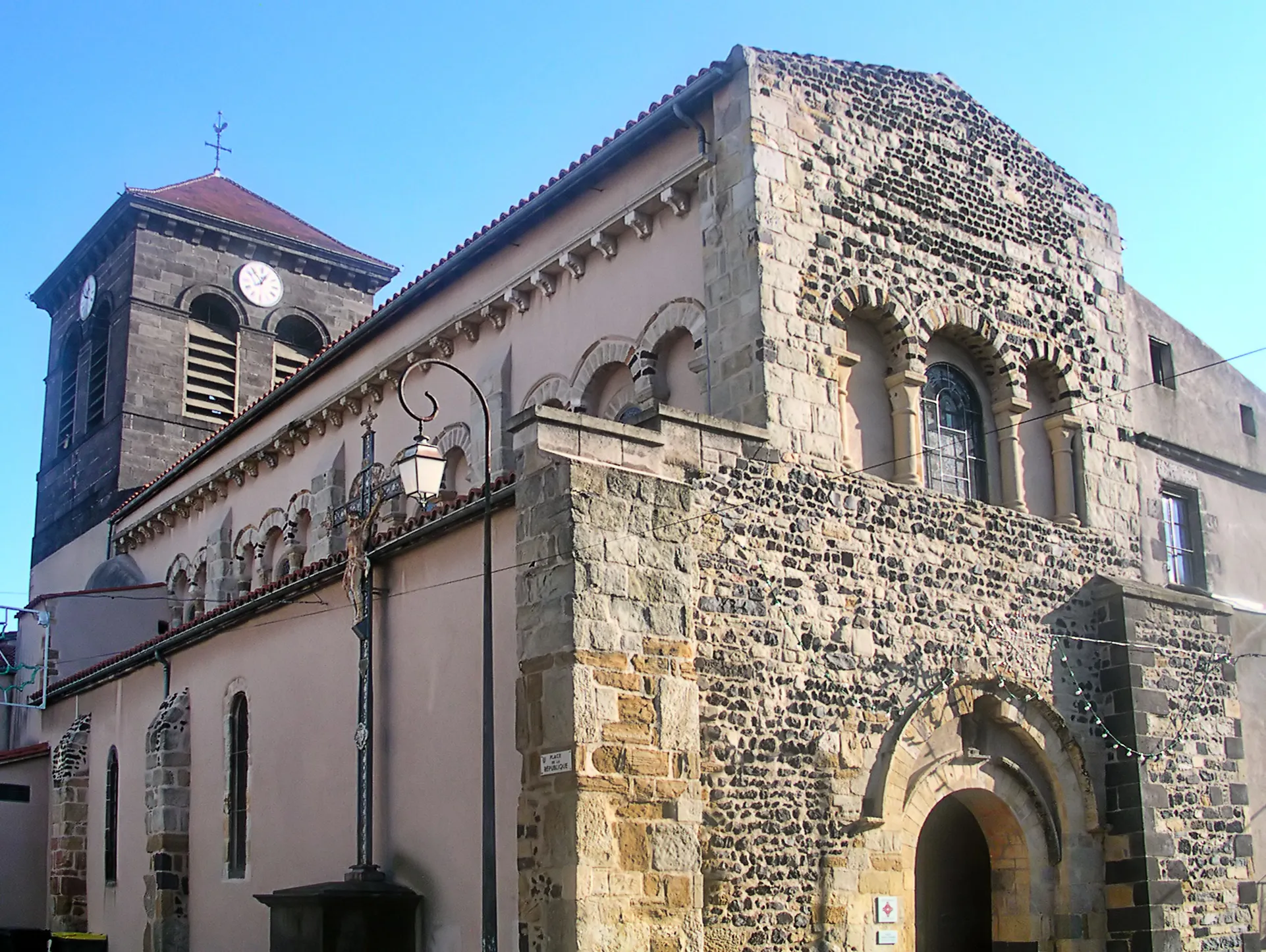
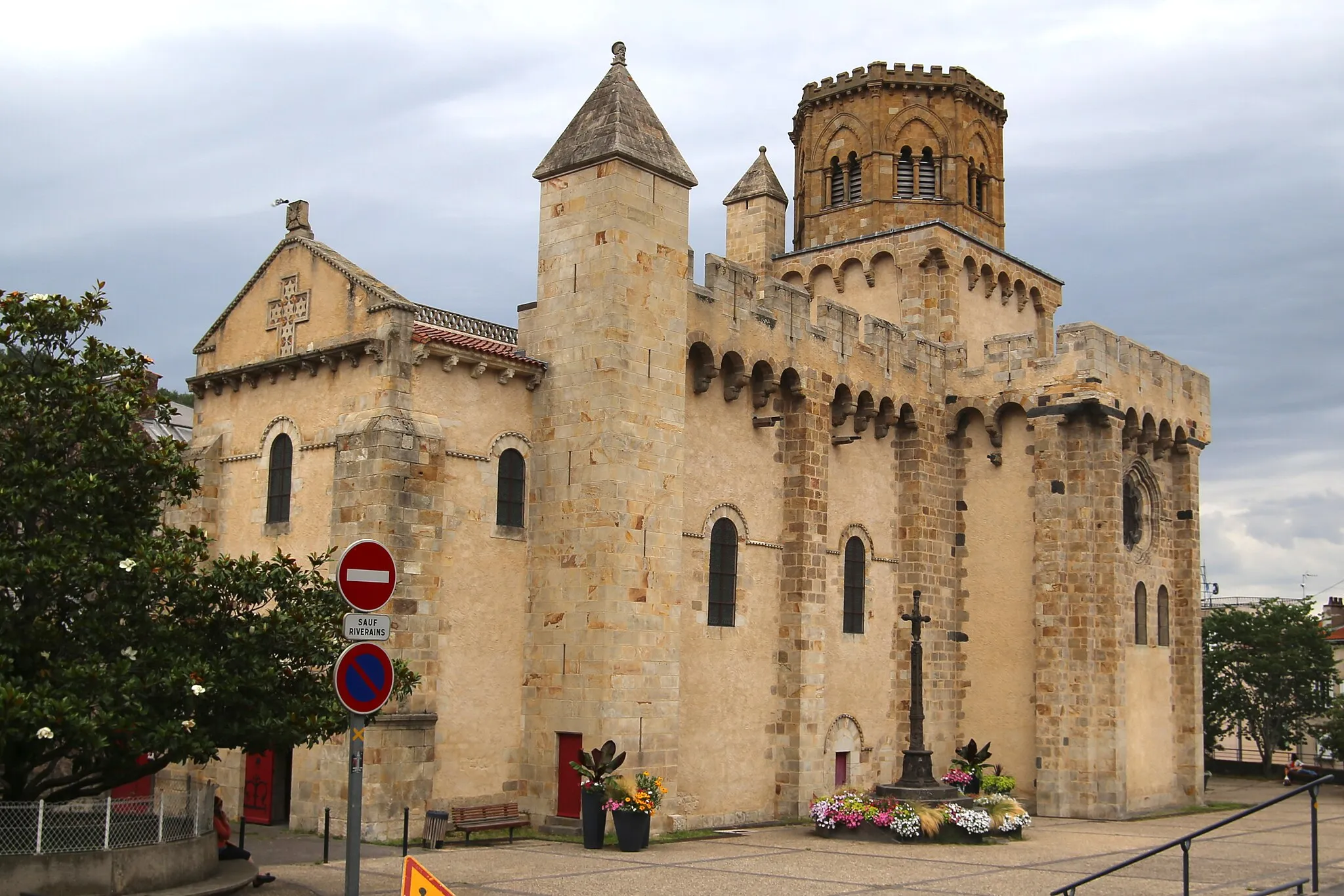
Saint-SaturninVillageSaint-Saturnin is a beautiful village with a medieval castle and stunning architecture.
21 km
21 km
Puy d'Olloix1002 mPeakPuy d'Olloix is a volcanic cone with panoramic views and is a popular hiking destination.
27 km
27 km
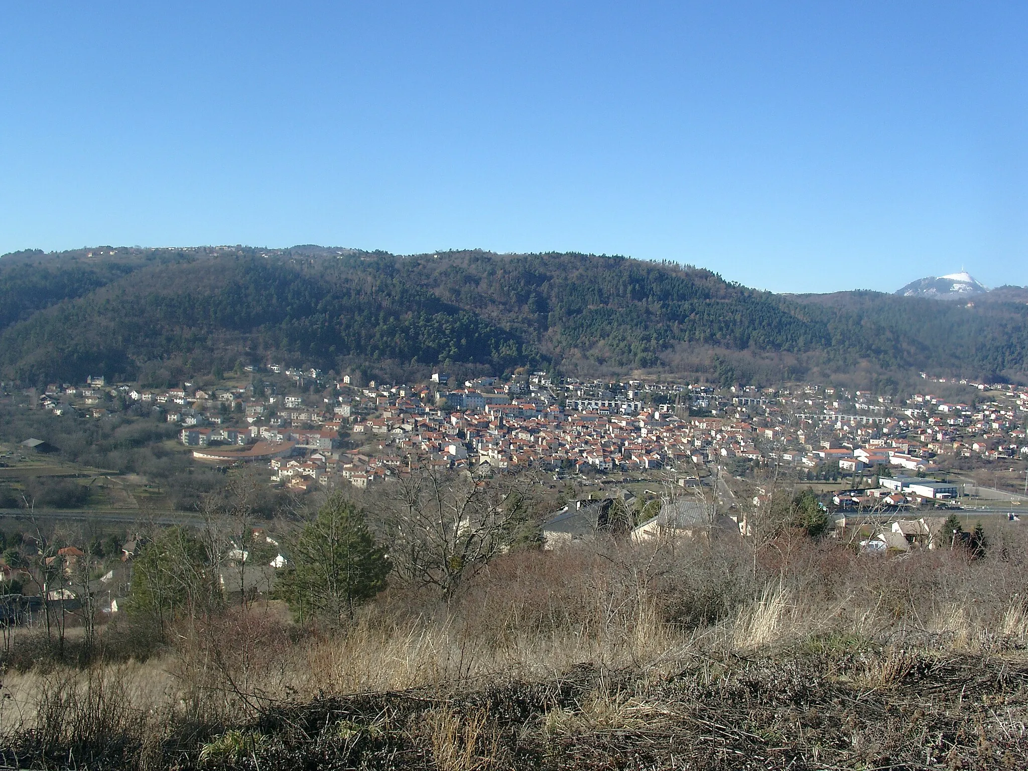
Saint-NectaireVillageSaint-Nectaire is a quaint village known for its cheese production and historic structures.
36 km
36 km
Panorama sur le lac ChambonViewpointEnjoy spectacular views of Lac Chambon from this vantage point.
47 km
47 km
Puy de l'Enfer1086 mPeakPuy de l'Enfer is a volcanic peak with a rugged terrain and stunning views.
53 km
53 km
Puy de Charmont1138 mVolcanoPuy de Charmont is a challenging climb with rewarding views of the surrounding countryside.
66 km
66 km
Montrognon699 mPeakMontrognon features ancient ruins and offers a glimpse into the history of the area.
67 km
67 km
RomagnatVillageRomagnat is the starting point of the route and has a rich history dating back to ancient times.
67 km
67 km
Finish: Romagnat Village centerRomagnat: Explore the volcanic landscapes of Romagnat.
Cycling routes from Romagnat:
Cycling routes nearby: