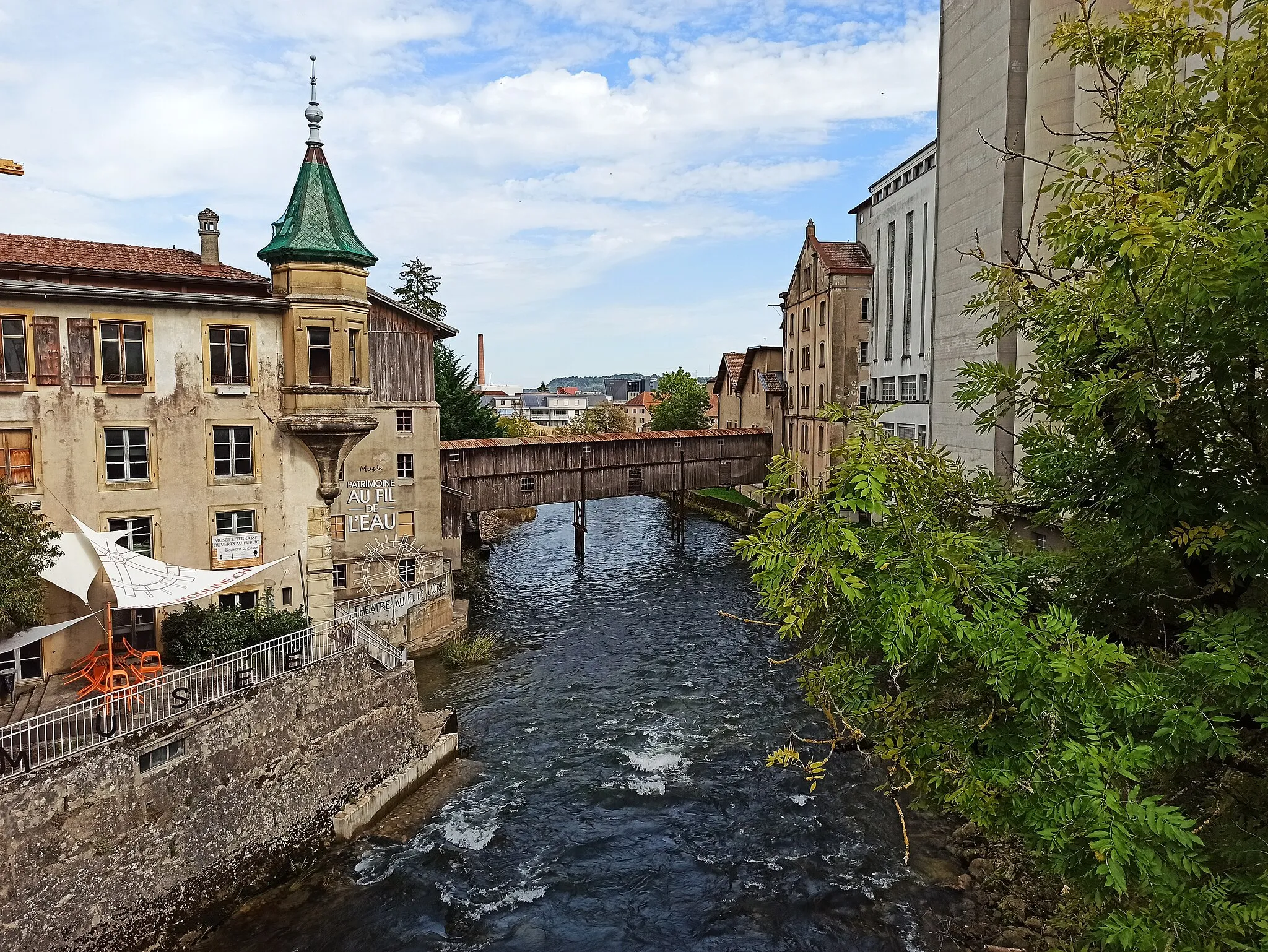
Varied Cycling Terrain in Bourgogne
Cycling routes from Genlis
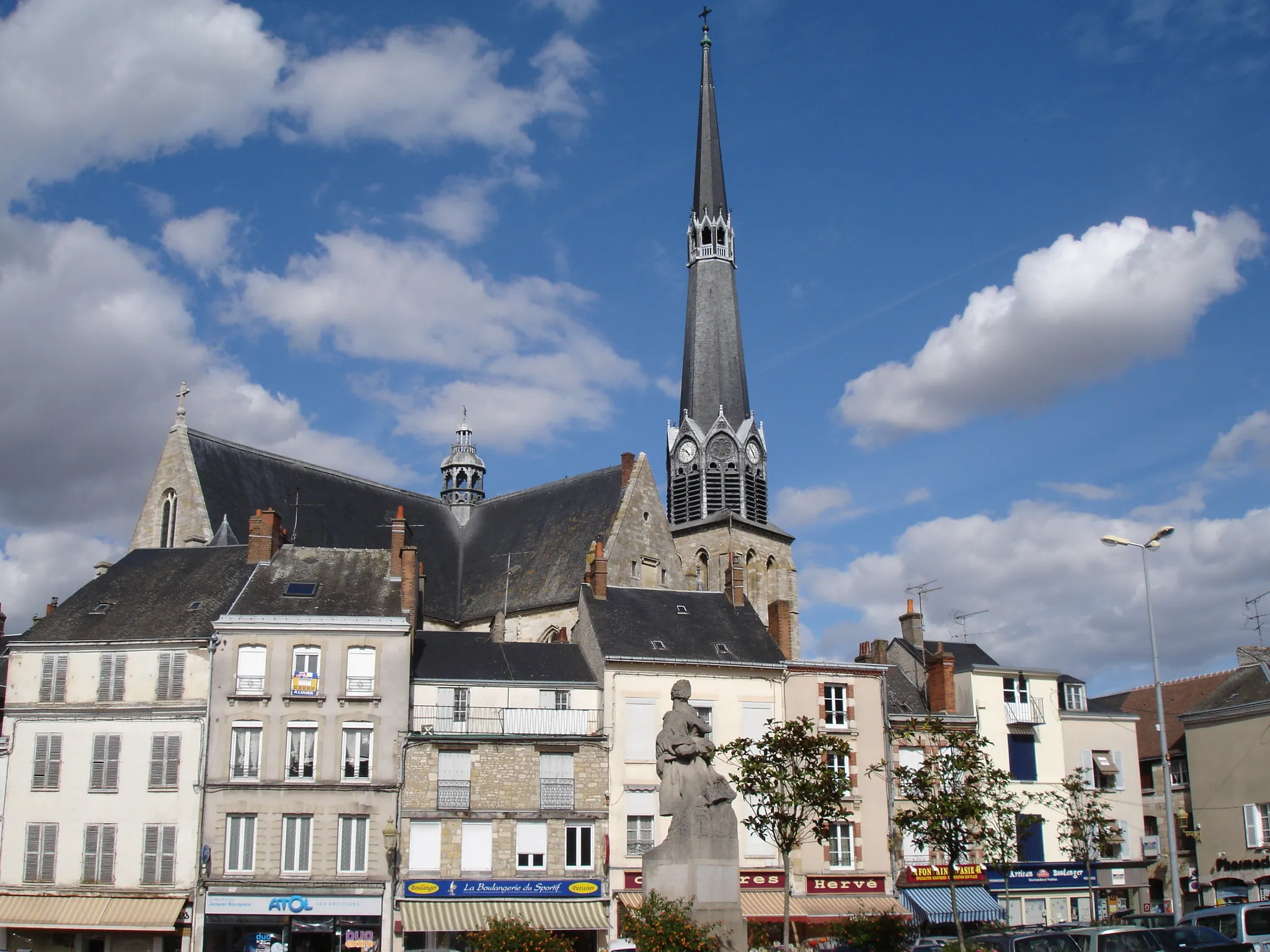
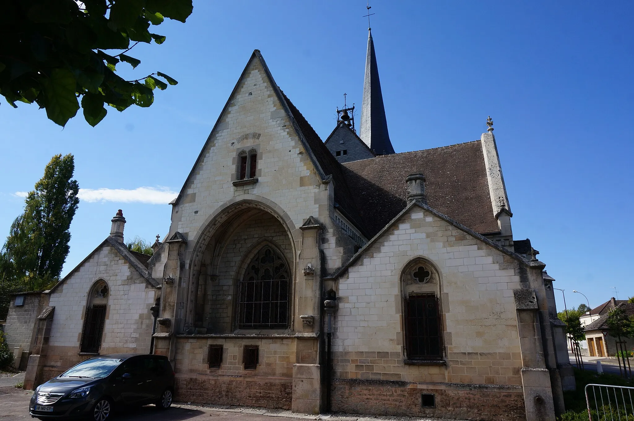
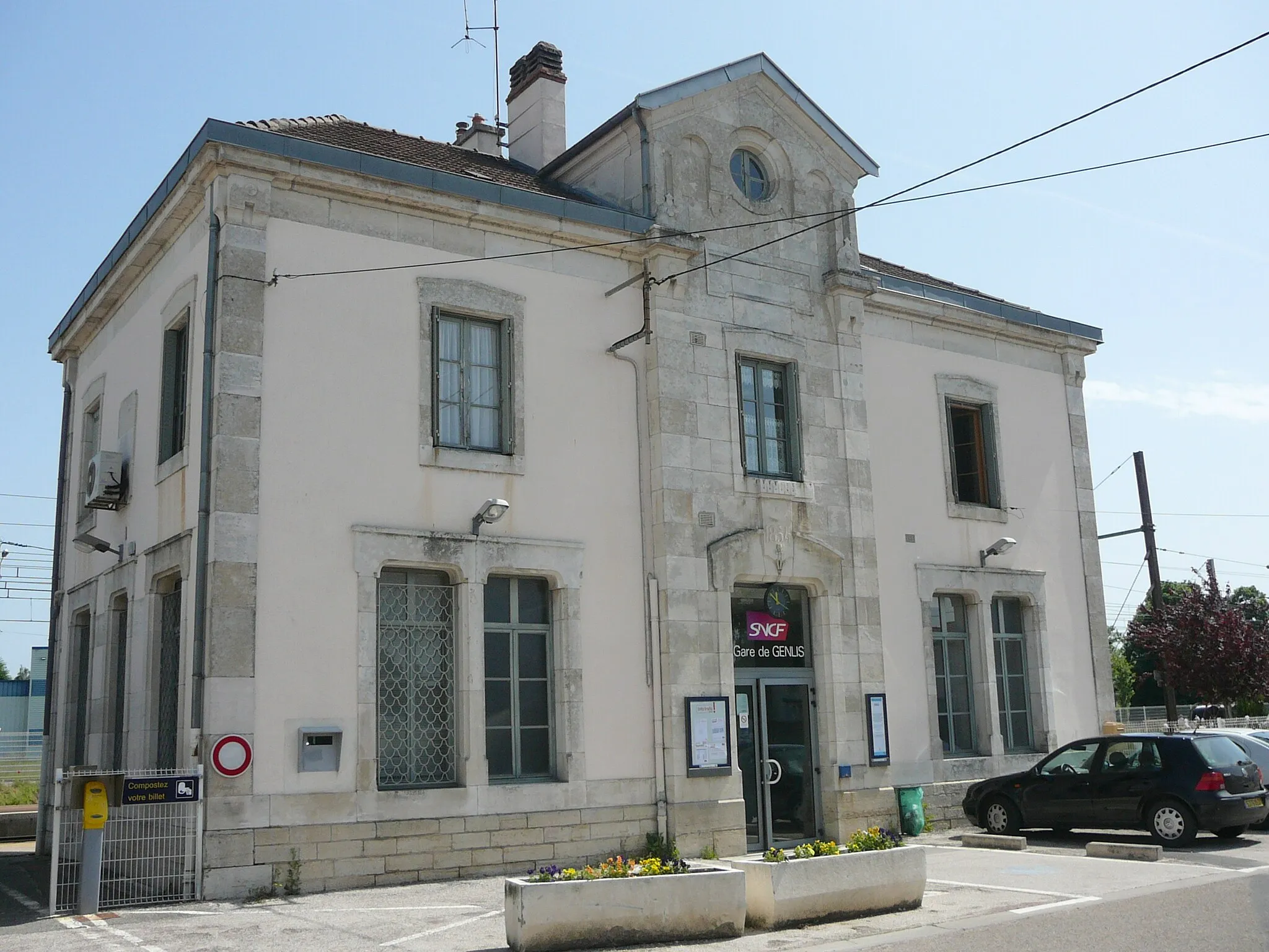
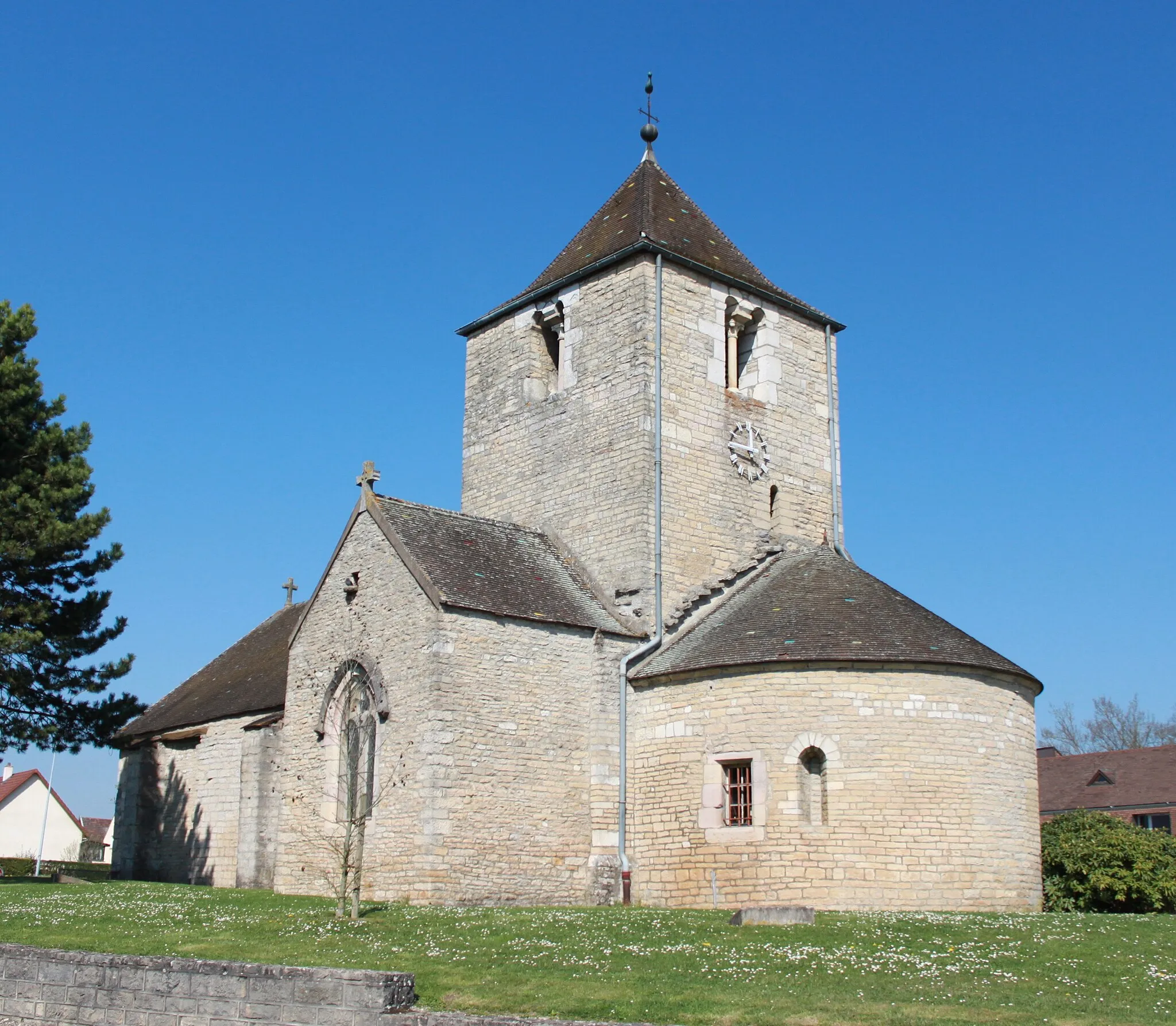
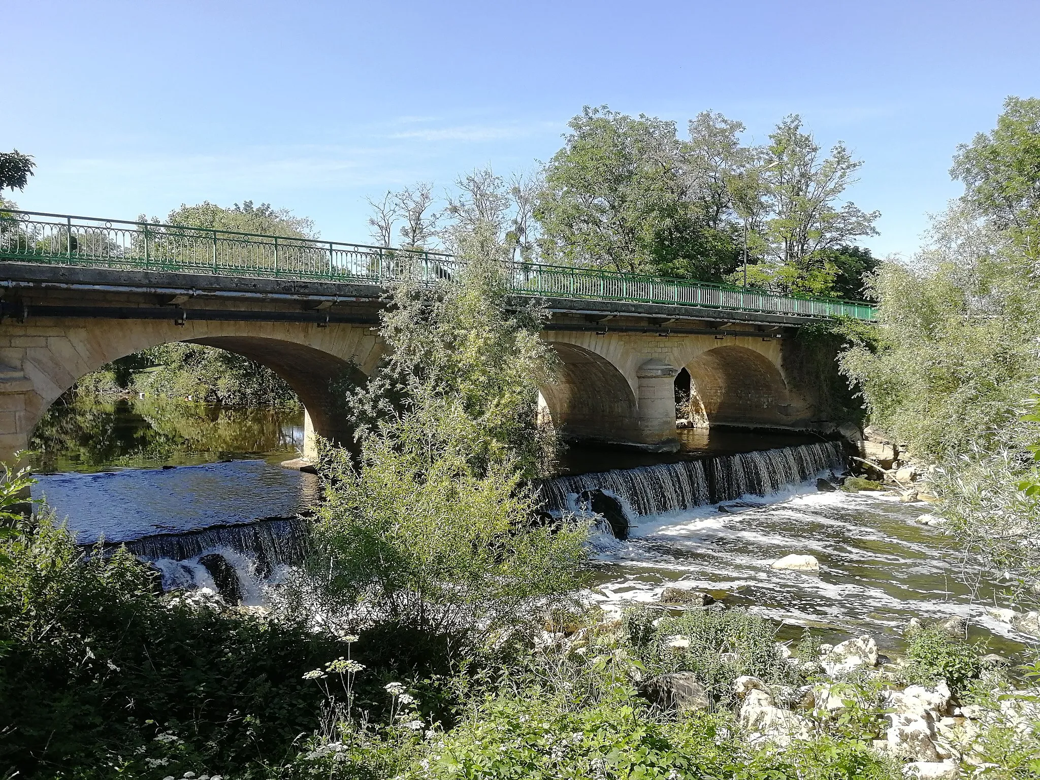
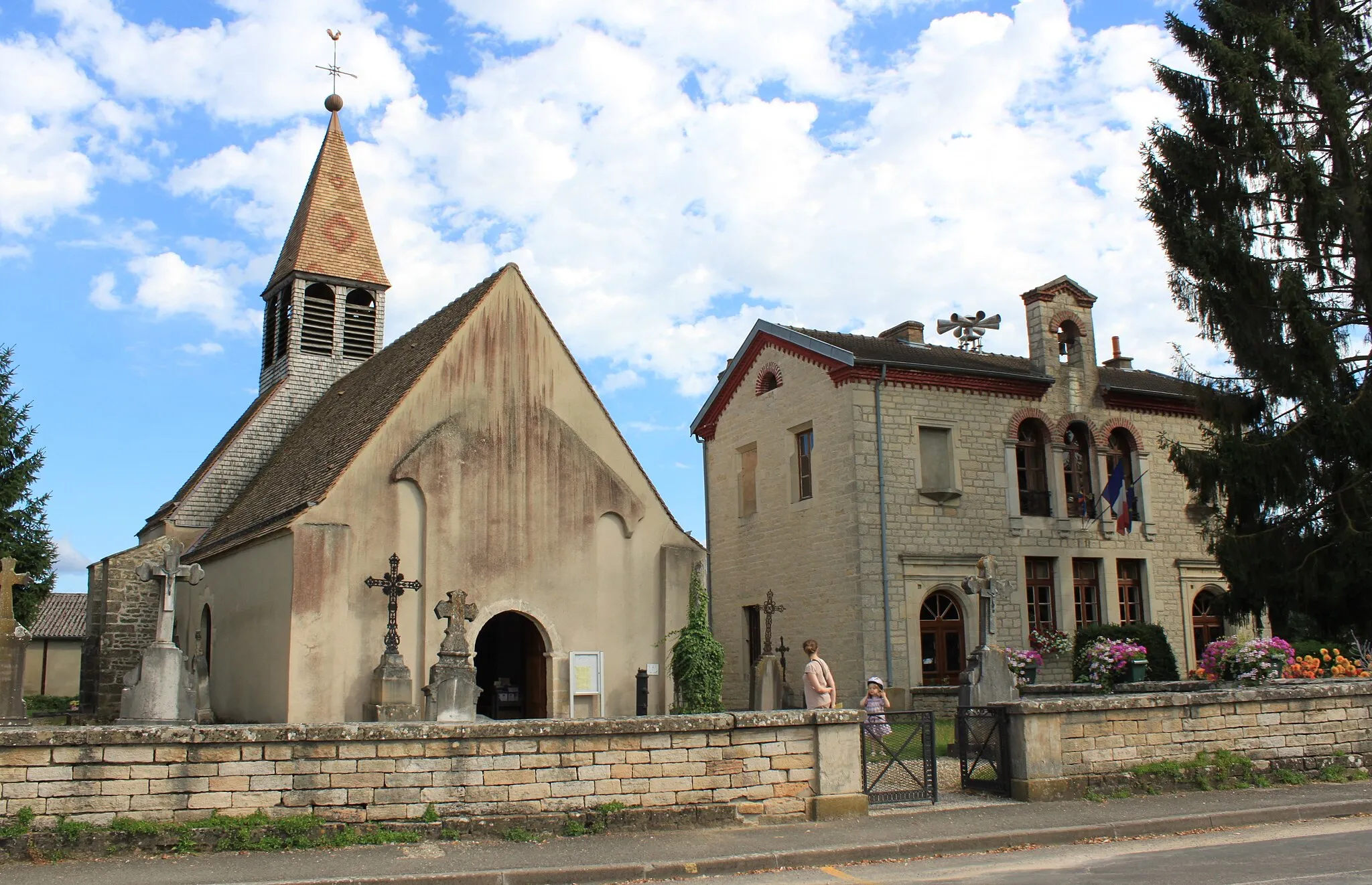
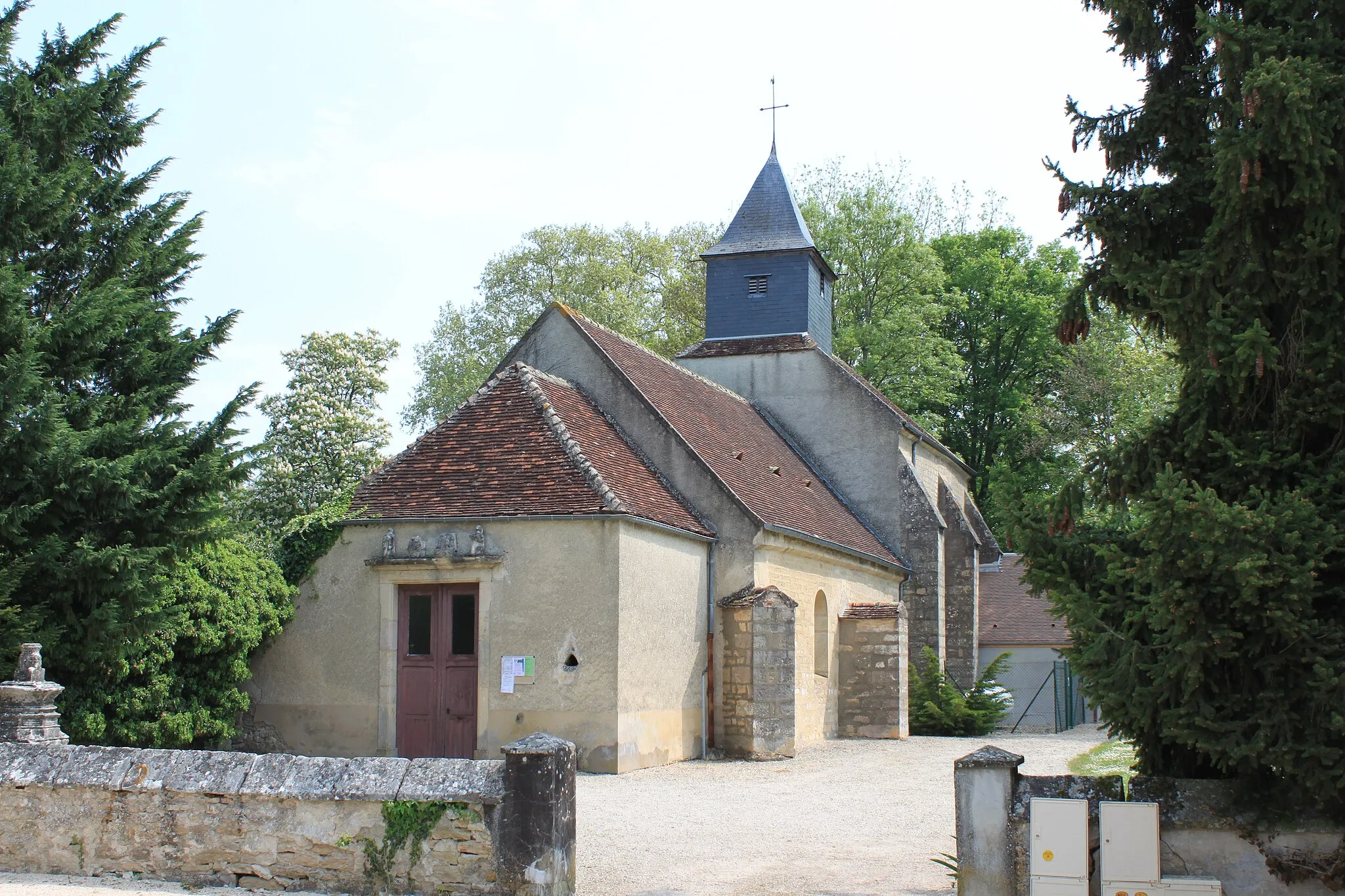
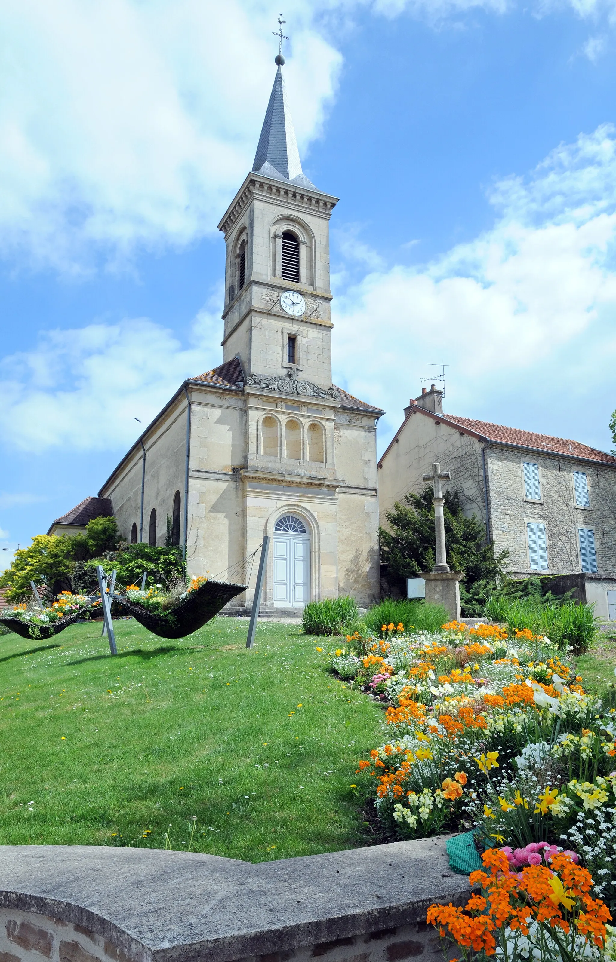
Genlis is a small locality located in the Bourgogne region of France. As a cyclist, you will find a mix of road cycling opportunities in this area. Genlis is surrounded by small picturesque towns and countryside, offering scenic flat rides. However, if you venture a bit further, you can find some hilly routes and challenging climbs in the nearby Cote d'Or area. One notable spot for cyclists is the climb to the Chateau du Clos de Vougeot. Overall, Genlis provides a good mix of flat and hilly rides, perfect for cyclists of varying preferences.
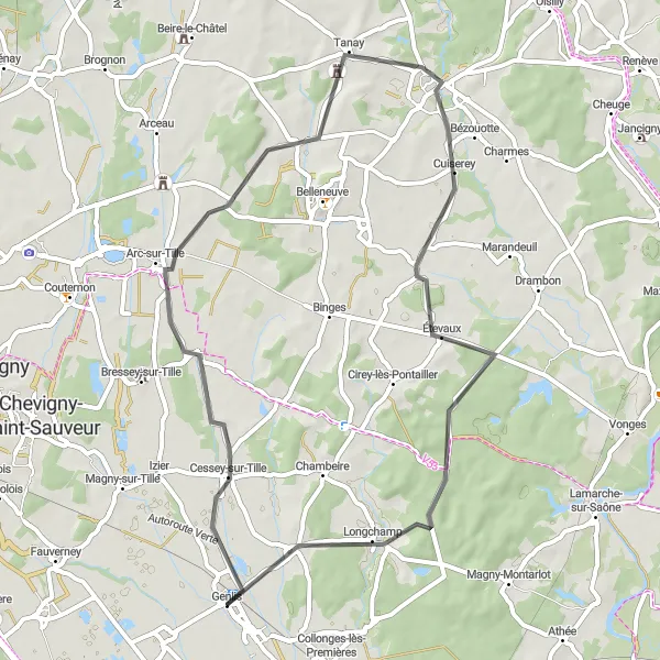
Take on the challenge of a demanding cycling loop near Genlis
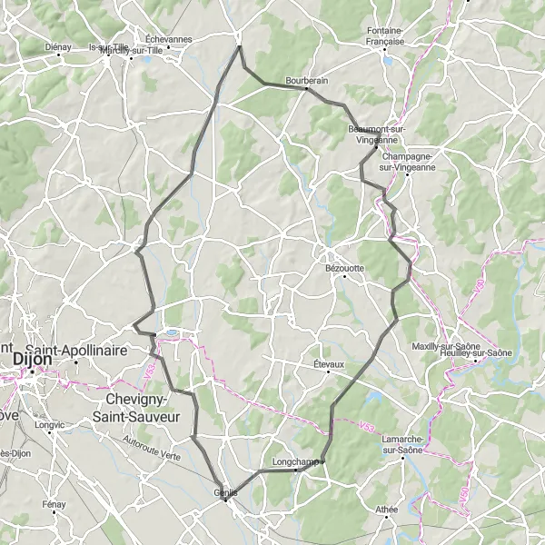
For avid cyclists seeking a challenging route near Genlis, this 90 km road loop is perfect. With an ascent of 450 m, it offers a test of strength and endurance. This route takes you through notable locations like Couternon, Spoy, Beaumont-sur-Vingeanne, Drambon, and Longchamp. Admire the diverse landscapes, including rolling hills and lush green fields. Suitable for experienced cyclists, this route provides a thrilling adventure through the Bourgogne countryside with rewarding views at every turn.
Take a leisurely road ride around Genlis and discover the charm of the region
Enjoy a leisurely road ride, exploring the scenic surroundings of Genlis. This route offers a gentle cycling experience, perfect for beginners or those seeking a relaxed ride. The total distance is 45 km with a minor ascent of 102 meters. It is suitable for all types of cyclists.
The Gravel Adventure
Experience an exciting gravel adventure near Genlis
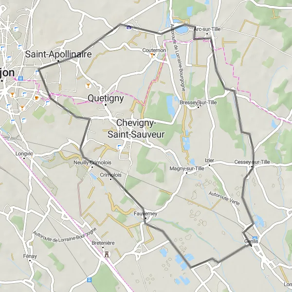
This round-trip cycling route near Genlis offers a thrilling gravel adventure. With a distance of 66 km and an ascent of 283 m, it is perfect for those who enjoy off-road cycling. The route takes you through picturesque villages, including Magny-sur-Tille, Couternon, Orgeux, Spoy, Savolles, Chambeire, and finally back to Genlis. Along the way, you'll witness stunning landscapes and charming countryside views. This route is suitable for experienced riders who want to explore the lesser-known gems of Bourgogne.

Uncover the charm of gravel cycling near Genlis
This 45 km gravel route near Genlis provides a unique opportunity to discover the region's hidden gems. With an ascent of 105 m, it is suitable for cyclists of all skill levels. Begin your adventure in Ouges, explore the historical city of Dijon, and marvel at the iconic Tour Philippe Le Bon. Continue to Quetigny before returning to Genlis. Immerse yourself in the beauty of Bourgogne while cycling through gravel paths and tranquil surroundings. This route offers a perfect blend of adventure and exploration.
Cycle from Genlis to Cessey-sur-Tille on this scenic road ride
Embark on a road cycling adventure, starting from Genlis and heading towards Cessey-sur-Tille. This route offers scenic views of the countryside and takes you through delightful villages. The total distance is 54 km with an ascent of 214 meters. It is ideal for road biking enthusiasts.
The Scenic Road Ride

Embark on a scenic road ride near Genlis
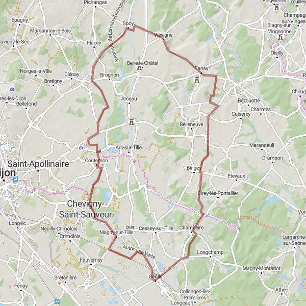
Experience the beauty of the Bourgogne region on this 107 km road route starting near Genlis. With an ascent of 470 m, this route promises breathtaking views and picturesque landscapes. Along the way, you'll pass through Magny-Montarlot, Soissons-sur-Nacey, Dole, Chaussin, Franxault, Pluvet, and finally complete the journey. This route is moderately challenging and is suitable for cyclists with a good fitness level. Immerse yourself in the charm of the countryside while enjoying the exhilaration of road cycling.
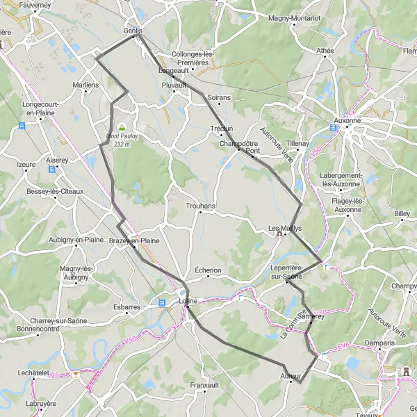
Escape to the picturesque countryside near Genlis
Experience a leisurely 59 km road ride through the serene countryside near Genlis. With a relatively gentle ascent of 116 m, this route is ideal for cyclists looking for a relaxing escape. Tréclun, Laperrière-sur-Saône, Losne, Mont Pauloy, and Varanges are the key points along the way. Enjoy the tranquil beauty of the Bourgogne region and take in the panoramic views of rolling hills and charming villages. This route is suitable for all levels of riders seeking a peaceful and scenic cycling experience.
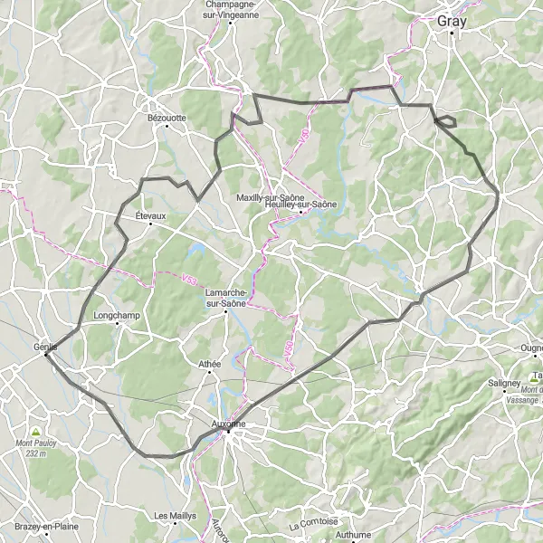
Embark on a scenic road trip from Genlis to Auxonne and discover the beauty of Burgundy
Embark on a scenic road trip, starting from Genlis and heading towards Auxonne. This route offers breathtaking views of the Burgundian landscapes and takes you through historic towns and picturesque villages. The total distance is 102 km with a challenging ascent of 565 meters. It is recommended for experienced cyclists looking to immerse themselves in the beauty of the region.
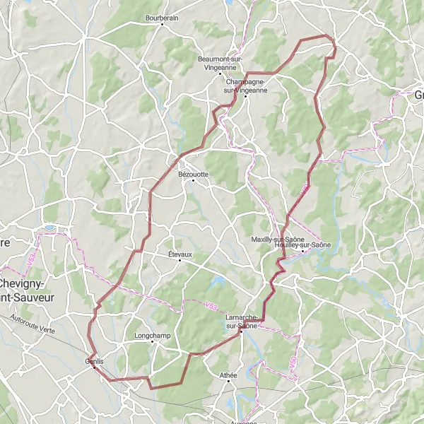
Experience the thrill of adventure as you cycle from Genlis to Pontailler-sur-Saône
Embark on an exhilarating gravel adventure, starting from Genlis and heading towards Pontailler-sur-Saône. This route showcases the diverse landscapes of the region, from rolling hills to charming riverbanks. The total distance is 90 km with a challenging ascent of 392 meters. It is recommended for experienced cyclists looking for a thrilling ride.

Discover the rural landscapes as you ride from Genlis to Thorey-en-Plaine
Embark on a scenic gravel ride, starting from Genlis and heading towards Thorey-en-Plaine. This route offers picturesque countryside views and takes you through charming villages. The overall distance is 56 km with an ascent of 164 meters. It is suitable for road bikes or gravel bikes.
Cycling routes nearby:

Nearby regions: