Delight in the scenic cycling routes of Chevigny-Saint-Sauveur in Bourgogne, France.
Cycling routes from Chevigny-Saint-Sauveur
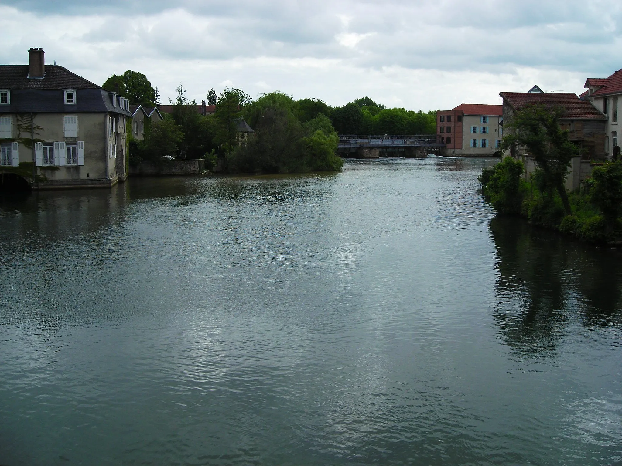
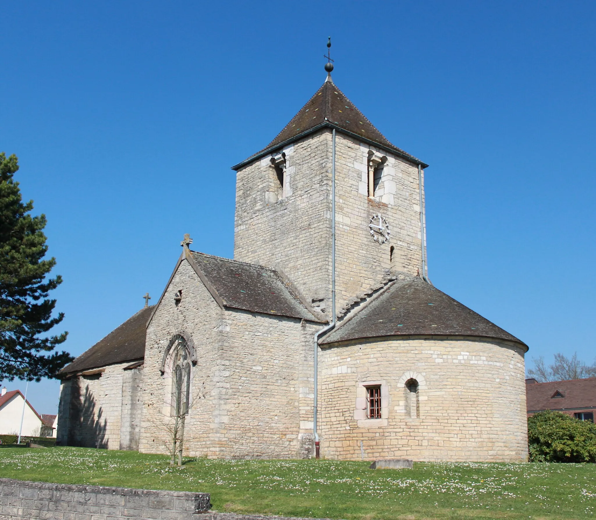
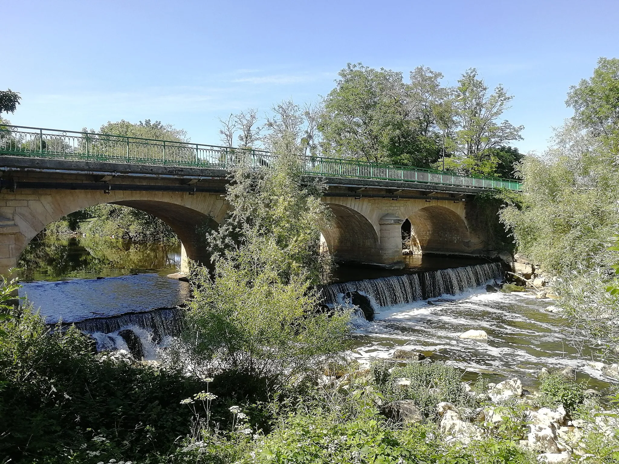
Chevigny-Saint-Sauveur is a delightful locality situated in the Bourgogne region of France. The area offers a mix of rolling countryside and small villages, providing a serene cycling experience. Cyclists can explore the Route des Grands Vins de Bourgogne, passing by renowned vineyards and wine estates. Chevigny-Saint-Sauveur is an excellent destination for cyclists interested in combining their passion for cycling with wine tasting and gourmet experiences.

Experience the charm of Bourgogne's countryside on this scenic road cycling route
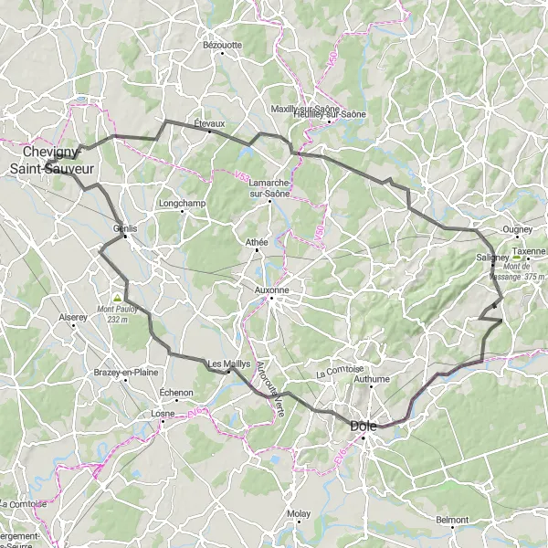
This round-trip cycling route starting near Chevigny-Saint-Sauveur offers a delightful journey through the picturesque Bourgogne region. With a distance of 125 kilometers and an elevation gain of 770 meters, the route provides a moderate challenge for well-trained amateurs. Cycling through idyllic landscapes, you will encounter a variety of highlights along the way.

Embark on a thrilling road cycling journey through the stunning landscapes of Bourgogne
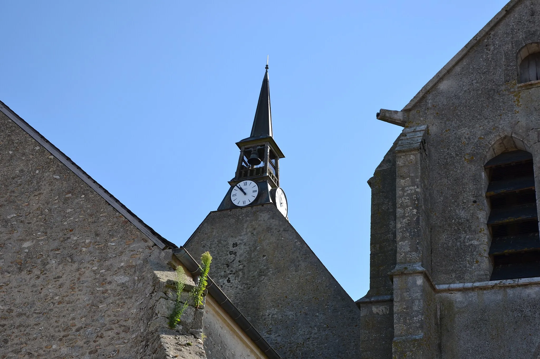
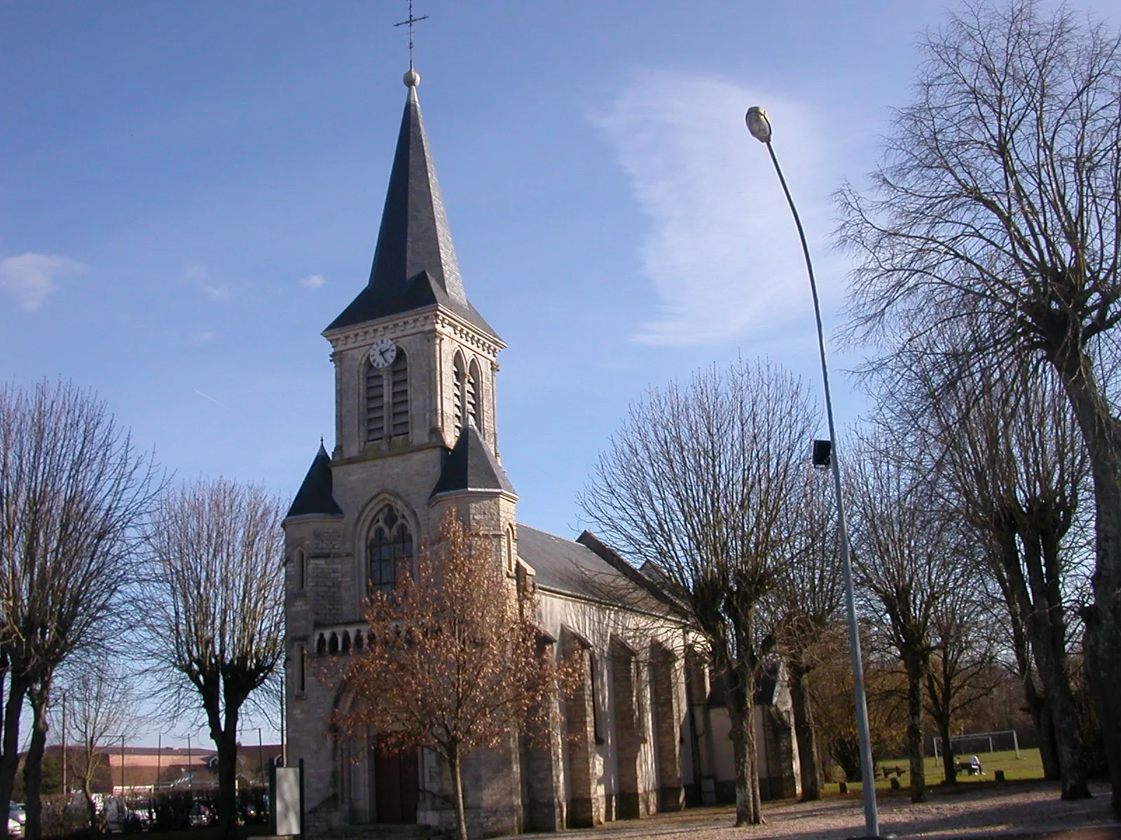
The Bourgogne Road Cycling Adventure is a challenging yet rewarding route that takes you through the picturesque countryside near Chevigny-Saint-Sauveur. With a total distance of 97 kilometers and 926 meters of ascent, this route is suitable for well-trained amateur cyclists. The diverse terrain and peaceful surroundings make it an excellent choice for those seeking a unique cycling experience. Throughout the route, you'll encounter several highlights that add to the charm of the journey. Starting in Sennecey-lès-Dijon, you'll be treated to beautiful views of the surrounding vineyards and quaint villages. The Table d'orientation, located at the 15-kilometer mark, offers a stunning panoramic view of the entire region, providing a perfect opportunity to catch your breath and take in the scenic beauty firsthand. As you pedal through Darois, you'll be enchanted by the historic streets and local architecture. The charming village of Frénois, situated 49 kilometers into the route, showcases traditional Bourgogne architecture and provides a glimpse into the region's rich cultural heritage. One of the highlights not to be missed is Chaignay, located at the 68-kilometer mark. This small town boasts a fascinating history and is known for its charming character. Another noteworthy highlight is the village of Bretigny, situated at the 80-kilometer mark. Here, you'll find captivating landscapes and idyllic scenery, perfect for capturing memorable photographs. Overall, the Bourgogne Road Cycling Adventure provides an exhilarating and scenic journey that showcases the beauty of the region. With its challenging terrain, impressive highlights, and rich cultural heritage, it is sure to leave a lasting impression on any cycling enthusiast.
Exploring Dijon's Gravel Trails

Embark on a thrilling gravel cycling journey through the scenic trails surrounding Dijon
Experience the rugged beauty of the Dijon region on this gravel cycling route. Cycling along gravel trails, you'll be treated to stunning views, picturesque villages, and the peaceful atmosphere of nature. This route is perfect for the gravel cycling enthusiast looking for an exciting off-road adventure.
Venture into the gravel roads around Dijon for an exciting off-road cycling experience
Discover the rugged beauty of the Dijon region on this gravel cycling route. Traverse through dense forests, panoramic viewpoints, and hidden villages, and experience the thrill of off-road cycling on challenging terrain.

Experience the scenic Quetigny Loop on gravel roads
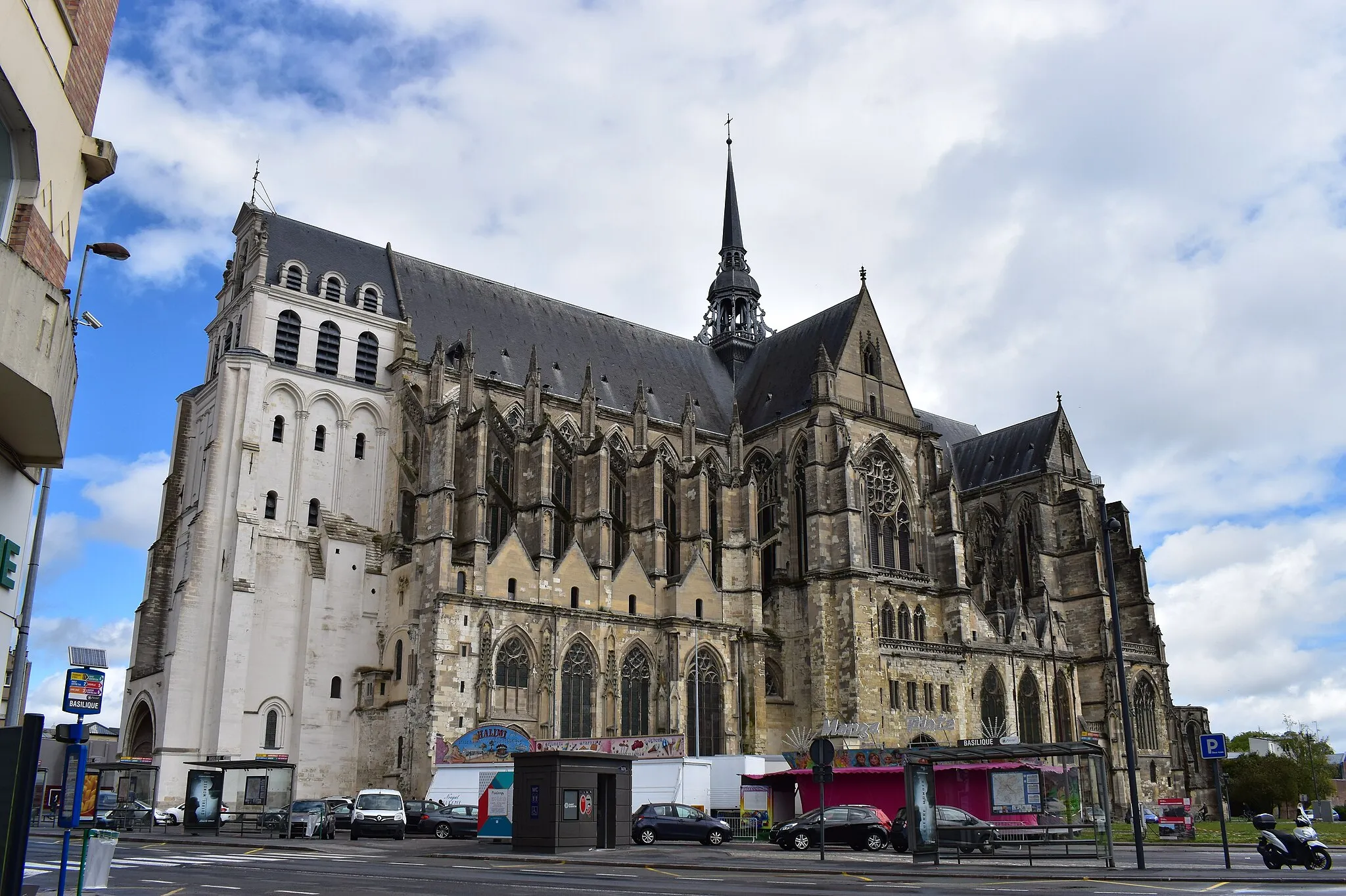
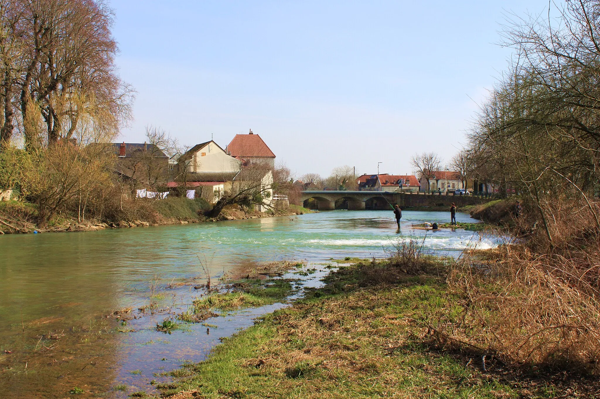
Quetigny Loop is a 56-km gravel route starting near Chevigny-Saint-Sauveur. The route offers scenic countryside and quiet backroads, with a total ascent of 203 meters. Quetigny, located 3 km from the start, is a highlight of the route. This vibrant town is known for its modern architecture and lively atmosphere. Other highlights include Clénay and Spoy. The difficulty level of this route is rated 3 out of 5, making it suitable for intermediate riders. It boasts an epicness rating of 2 out of 5.
Conquer the challenging roads of the Bourgogne region on this epic road cycling route
Prepare yourself for a challenging adventure through the heart of Bourgogne. This road cycling route will test your endurance as you tackle steep climbs, winding roads, and picturesque villages. Experience the true spirit of road cycling in one of France's most beautiful regions.
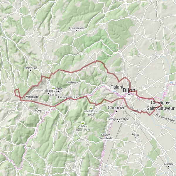
Chevigny Loop
Embark on a scenic road loop starting and ending in Chevigny-Saint-Sauveur
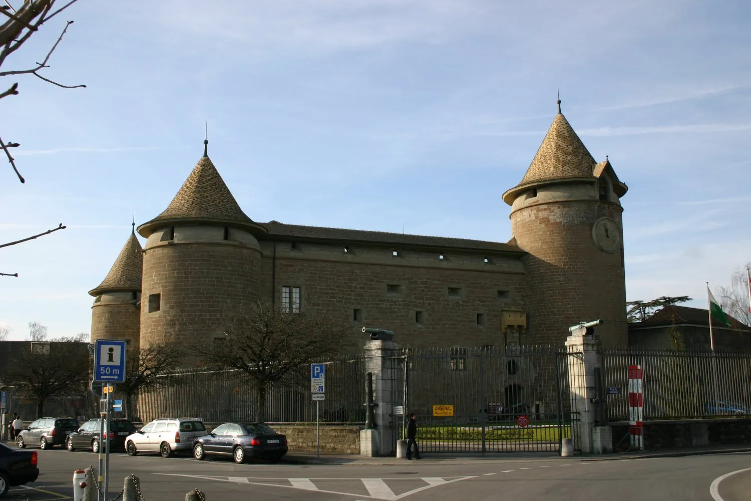
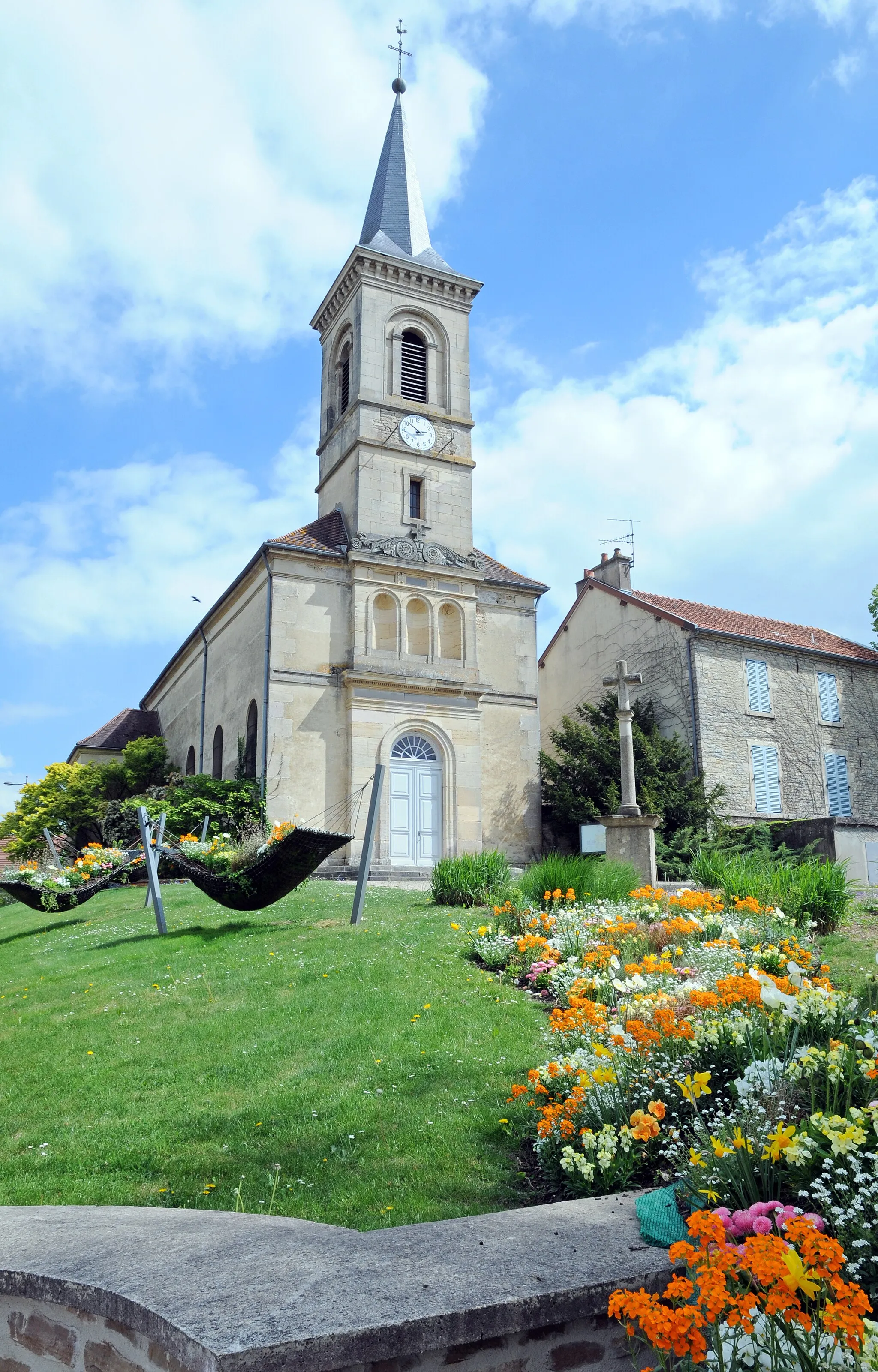
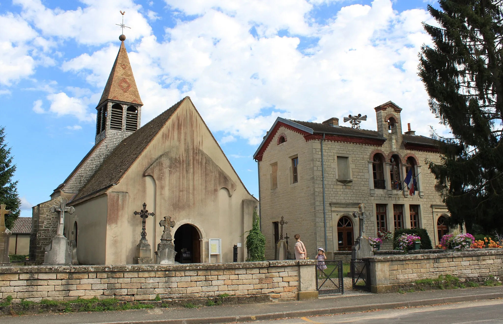
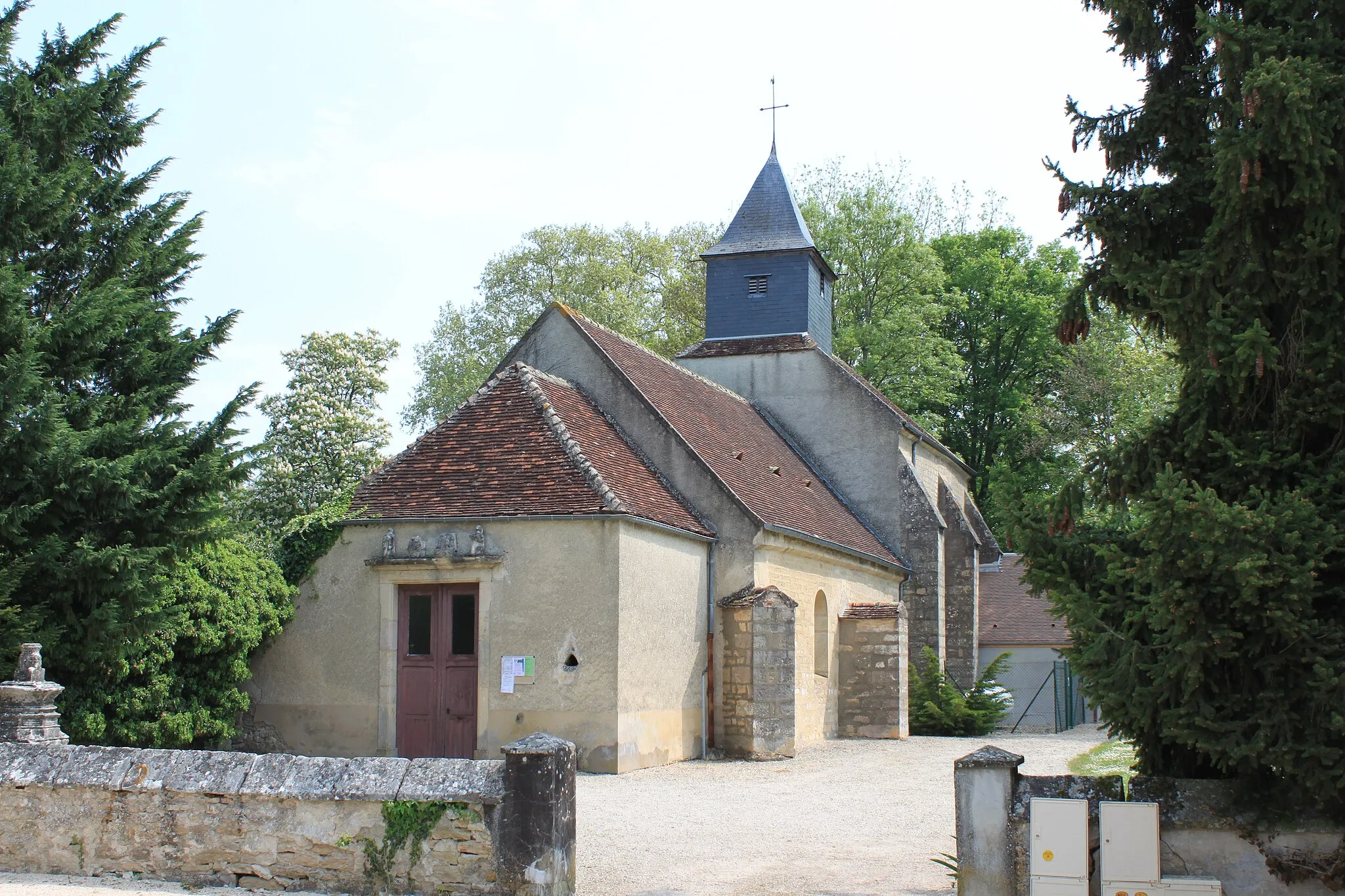
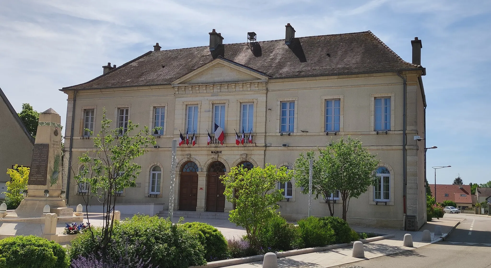
Chevigny Loop is a 68-km road route starting and ending in Chevigny-Saint-Sauveur. The route offers scenic countryside and charming villages, with a total ascent of 124 meters. Chevigny-Saint-Sauveur, the starting point, is a highlight of the route. Known for its medieval architecture and rich history, this town is worth exploring. Other highlights include Cessey-sur-Tille, Pluvet, Brazey-en-Plaine, Bessey-lès-Cîteaux, and Bretenière. The difficulty level of this route is rated 2 out of 5, making it suitable for most riders. It boasts an epicness rating of 3 out of 5.

Immerse yourself in the natural beauty of Bourgogne on this epic gravel cycling route
Get ready for an extraordinary journey through the gravel paradise of Bourgogne. As you cycle through winding gravel paths, immerse yourself in the picturesque countryside and charming villages of the region. This route offers a perfect blend of challenging terrain and awe-inspiring scenery.
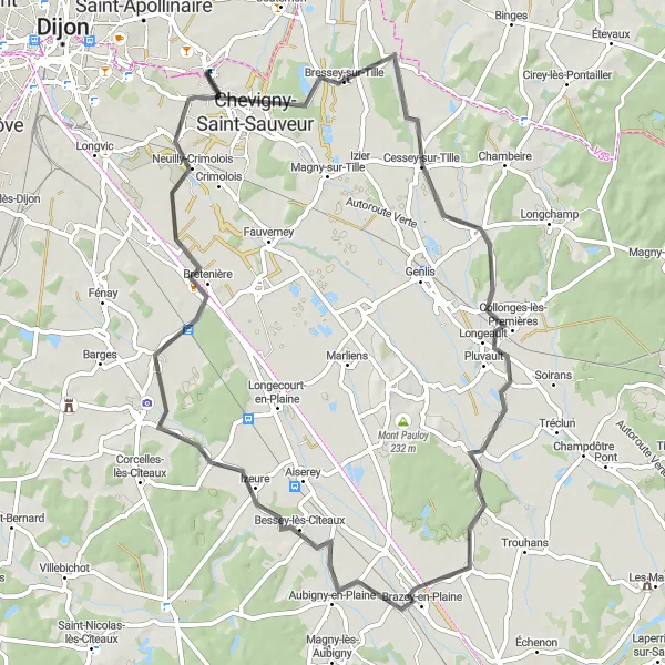
Genlis Tour
Explore the charming town of Genlis on this gravel route
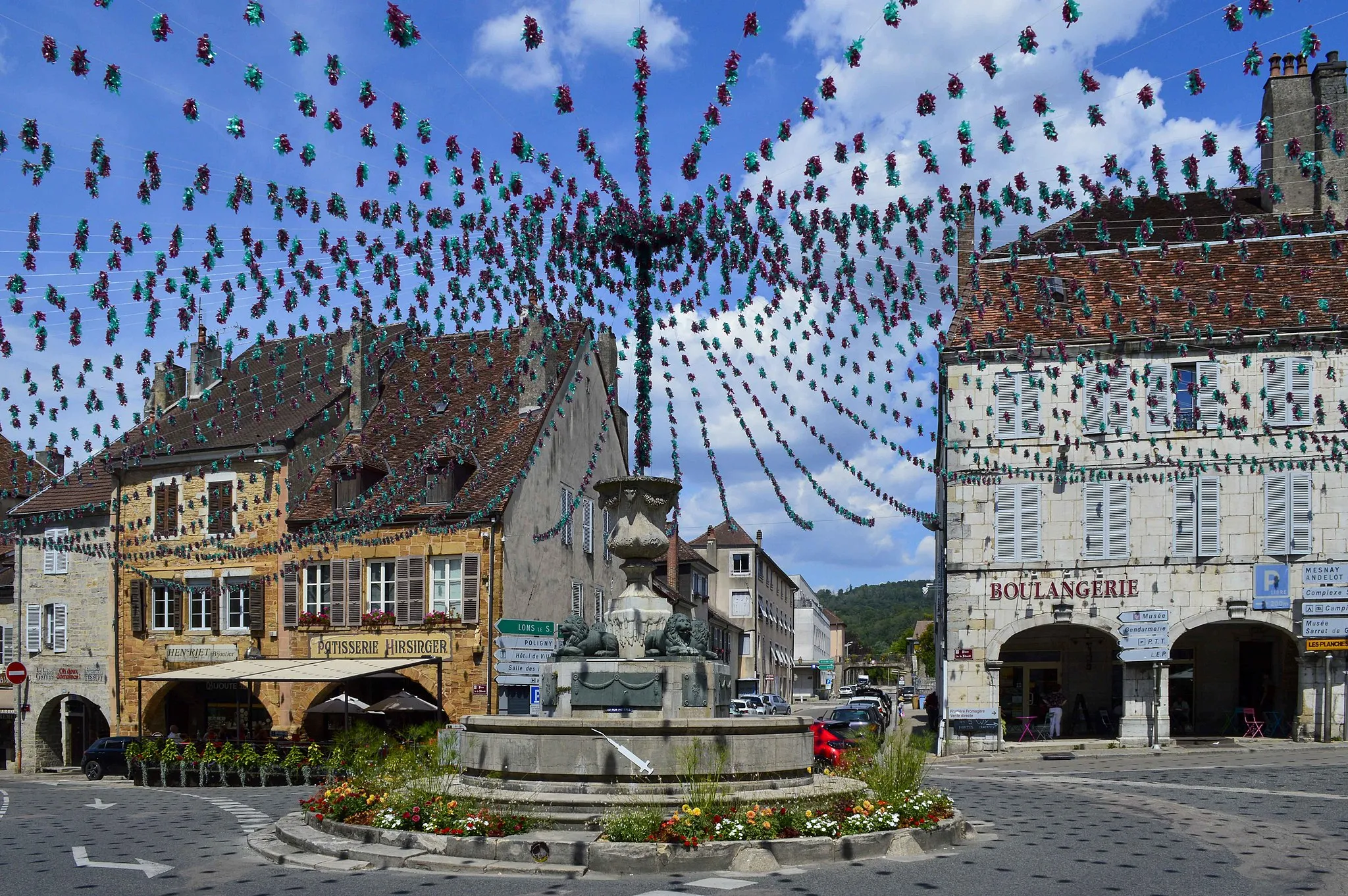
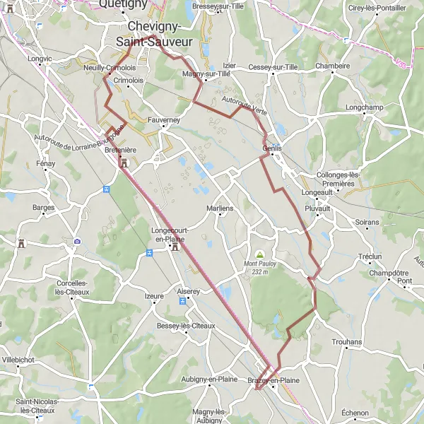
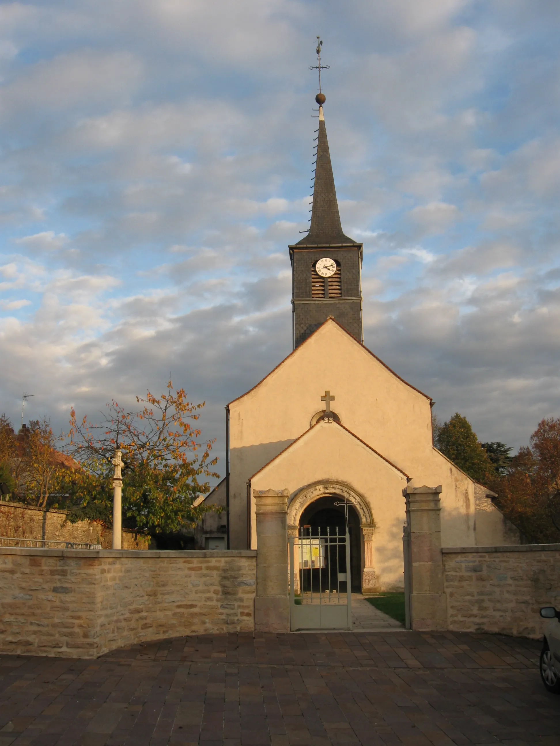
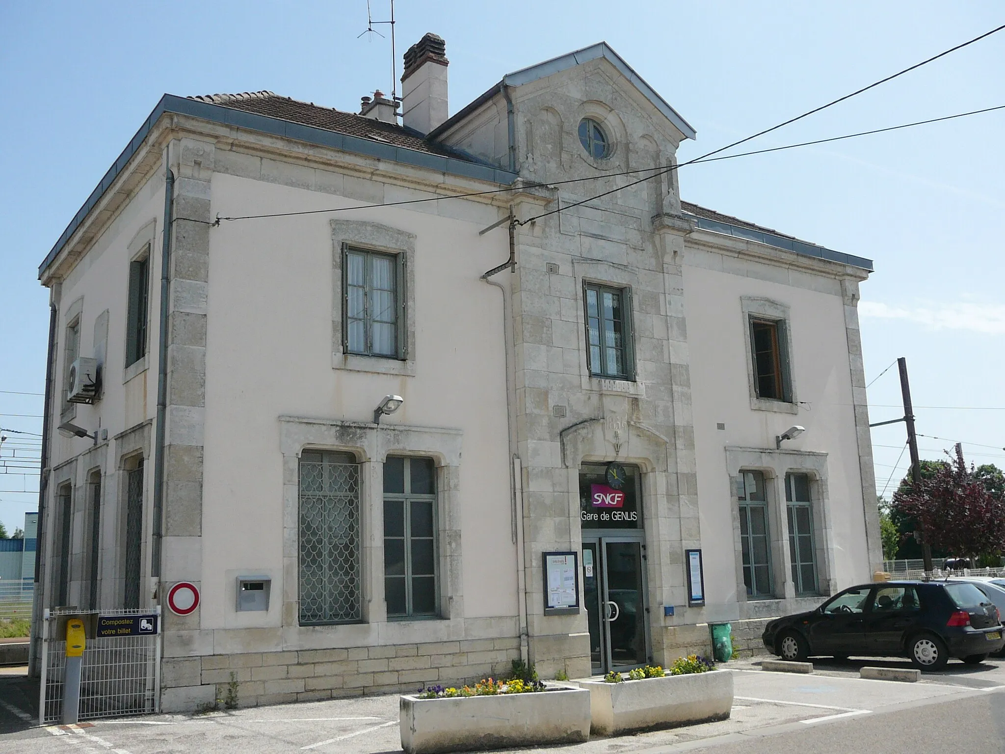
Genlis Tour is a 55-km gravel route starting near Chevigny-Saint-Sauveur. The route offers a mix of scenic countryside and charming towns. With an ascent of 72 meters, it is a manageable ride suitable for all skill levels. Genlis, located 12 km from the start, is a highlight of the route. This picturesque town is known for its historic buildings and tranquil atmosphere. Other highlights include Brazey-en-Plaine and Thorey-en-Plaine. The difficulty level of this route is rated 2 out of 5, making it suitable for most riders. It boasts an epicness rating of 3 out of 5.
Embark on a thrilling gravel cycling adventure through the scenic region of Bourgogne
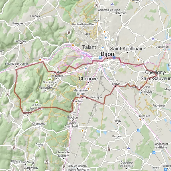
This round-trip cycling route takes you on a gravel adventure through the beautiful region of Bourgogne, offering breathtaking landscapes and charming villages along the way. With a total ascent of 735 meters and a distance of 64 kilometers, this route is suitable for well-trained amateur cyclists. Get ready to explore picturesque towns such as Longvic, Perrigny-lès-Dijon, Clémencey, Velars-sur-Ouche, Mont Afrique, Tour Philippe Le Bon, and Quetigny as you pedal through the stunning countryside. The mixture of challenging climbs and tranquil descents will keep you engaged and rewarded throughout the journey.
Cycling routes nearby:
Nearby regions: