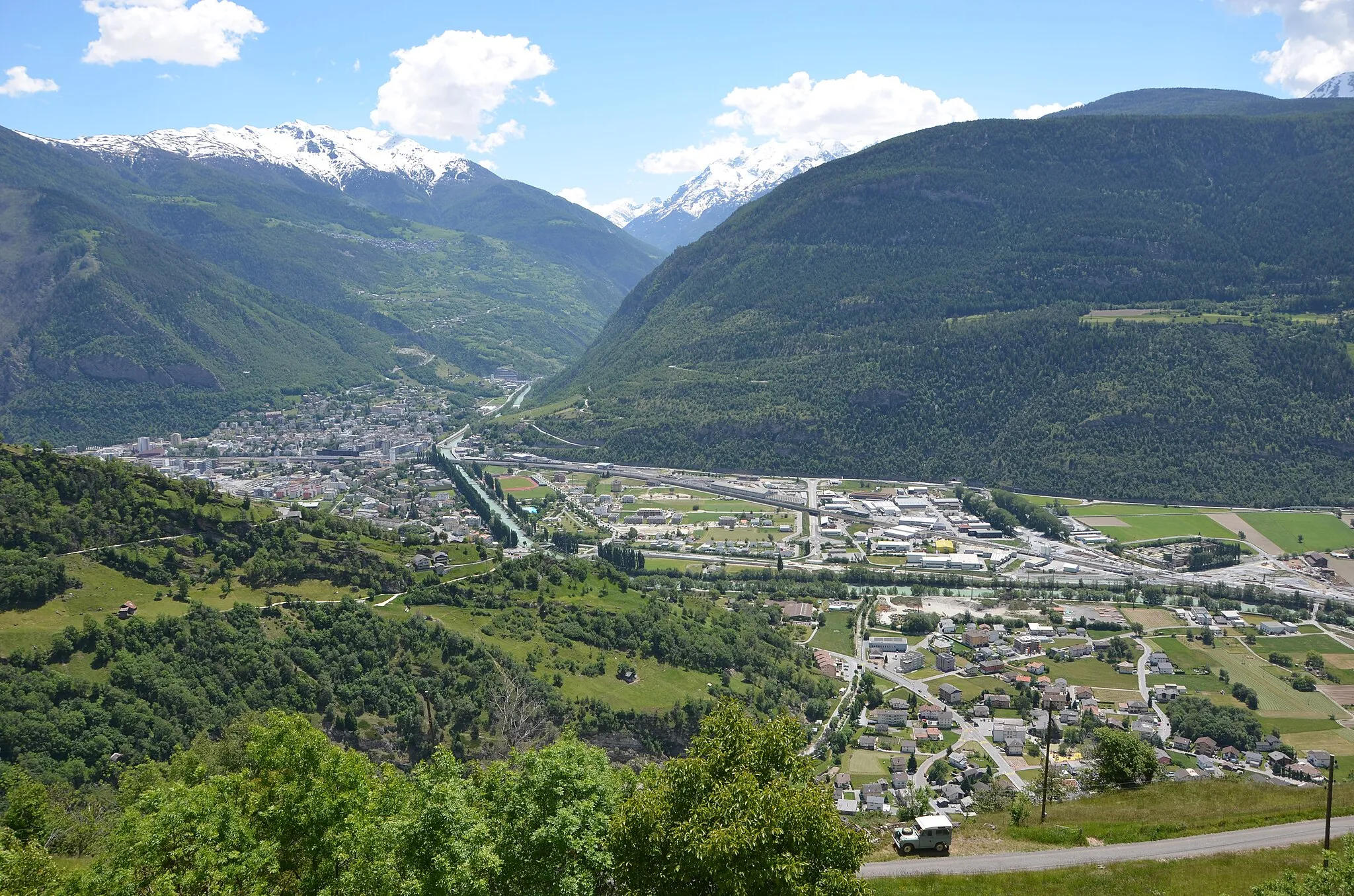
Discovering scenic landscapes and experiencing the French wine culture in Saint-Apollinaire, Bourgogne.
Cycling routes from Saint-Apollinaire
Saint-Apollinaire, located in Bourgogne, France, is a delightful locality for both road and gravel cycling. The region offers breathtaking landscapes with rolling vineyards and picturesque villages. Cyclists can enjoy exploring the well-marked routes and quiet country roads. Saint-Apollinaire also offers challenging climbs, such as [insert famous climb name], attracting seasoned cyclists. This locality is an excellent cycling destination for enthusiasts who also appreciate wine tasting and local gastronomy.
Bourgogne Gravel Adventure
Explore Bourgogne's countryside on gravel roads
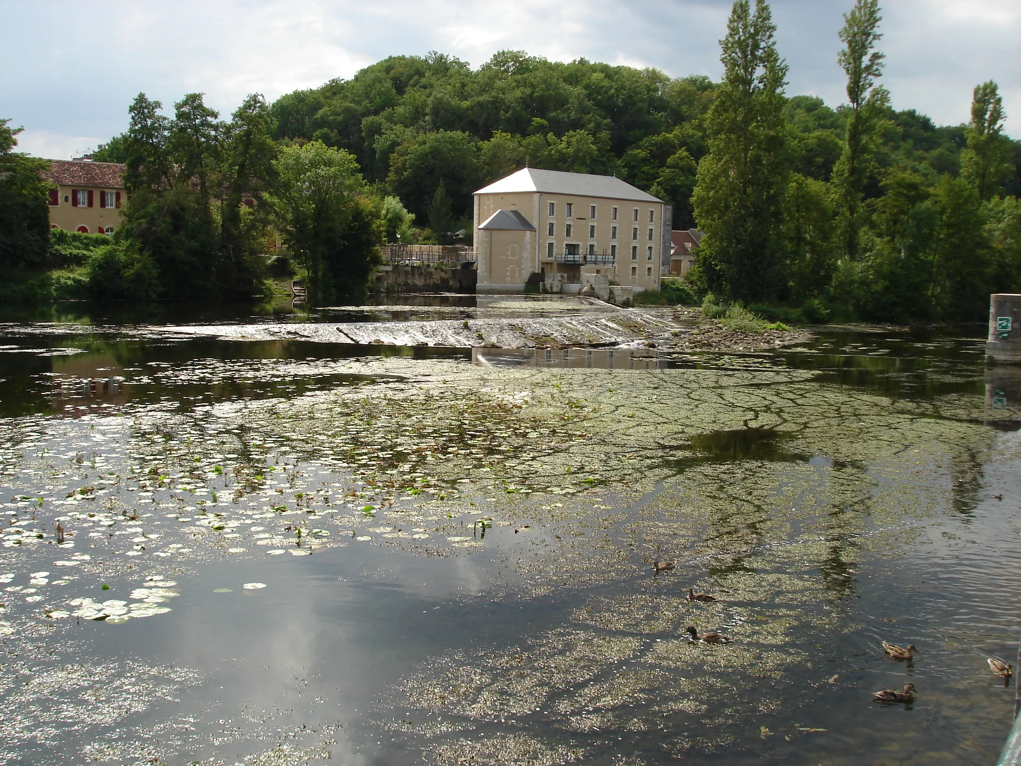
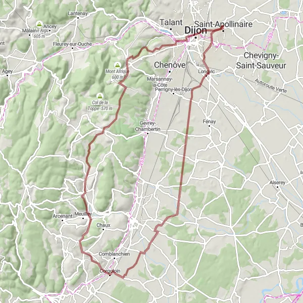
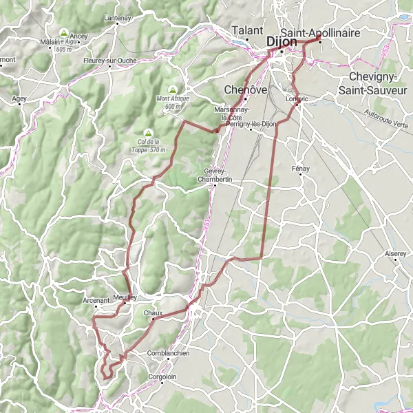
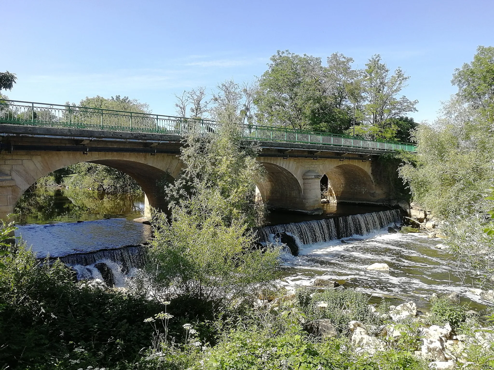
Experience the beautiful countryside of Bourgogne on this gravel cycling route. Spanning 82 kilometers and featuring 775 meters of ascent, this adventurous journey is perfect for gravel biking enthusiasts. Along the way, you'll ride through scenic landscapes, pass by charming villages, and discover hidden gems. Highlights of this route include the fortress-like Fort de la Motte Giron, nestled amidst dense forests, and the Redoute de Saint-Apollinaire, a historic military fortification with stunning views. Immerse yourself in nature and discover the rugged beauty of Bourgogne.
Cycling through the heart of Bourgogne
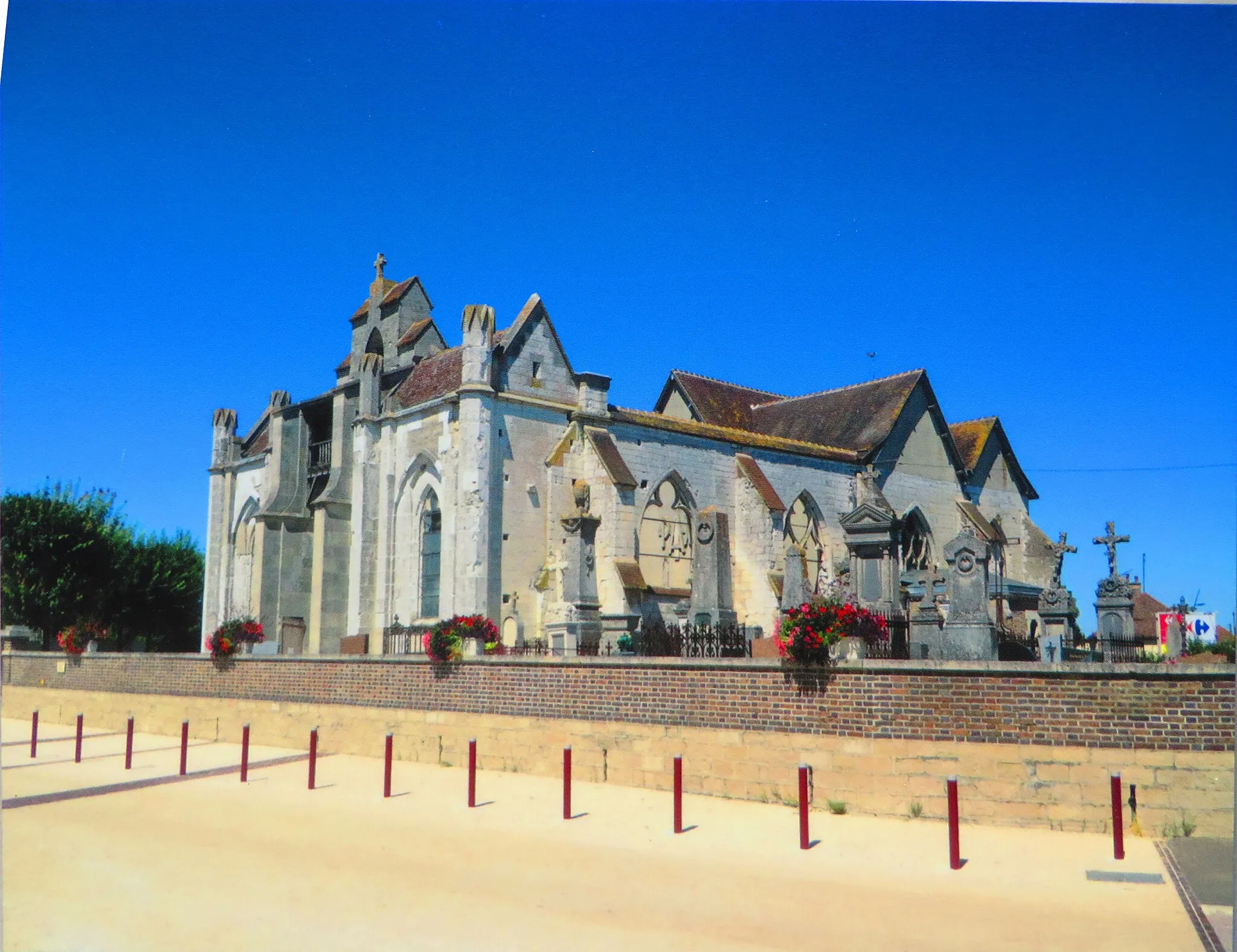
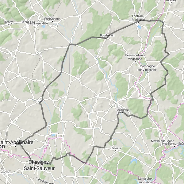
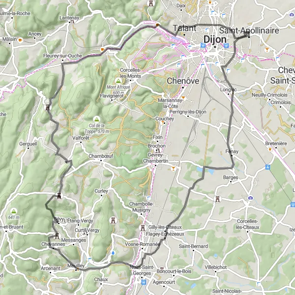
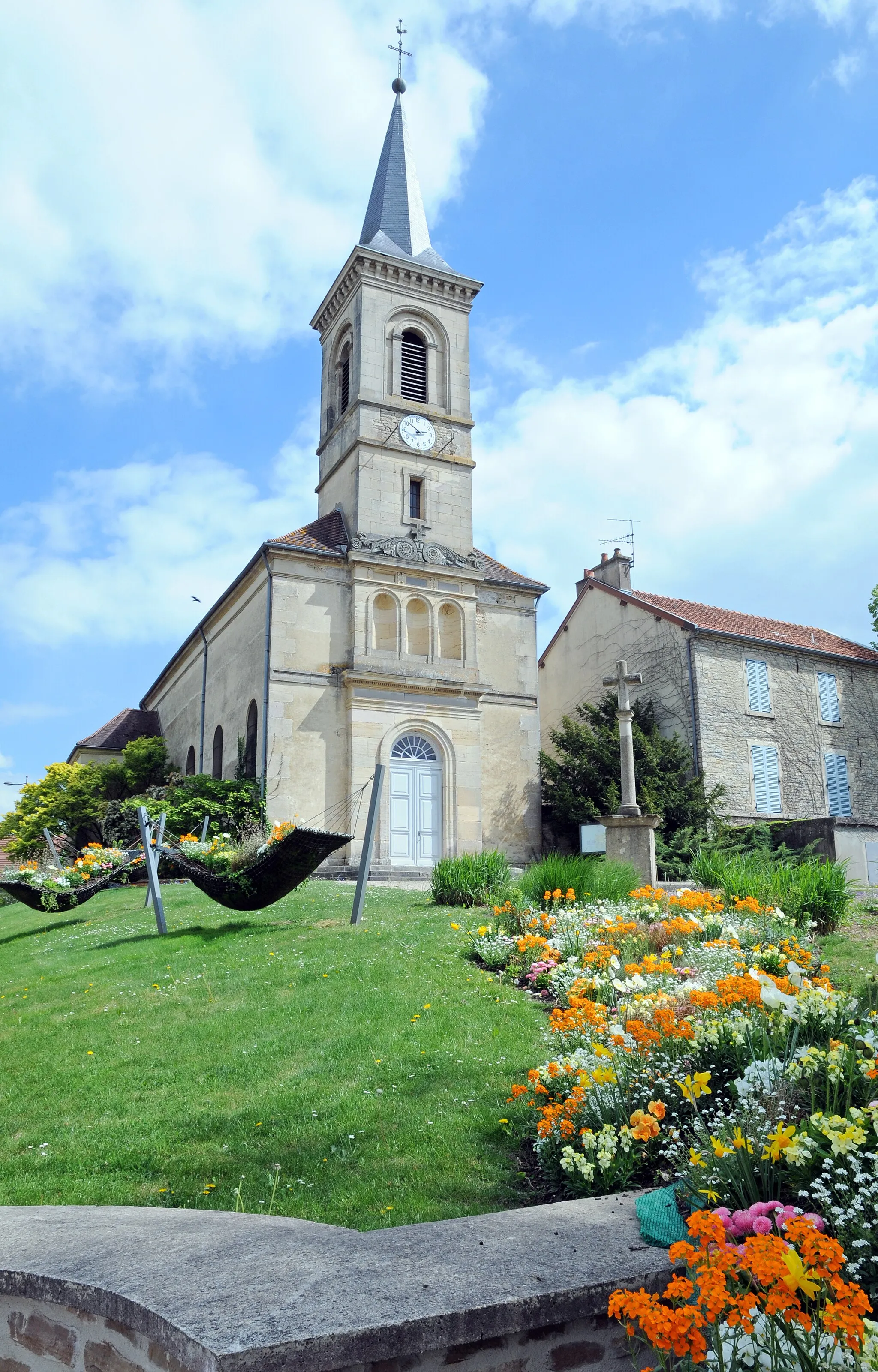
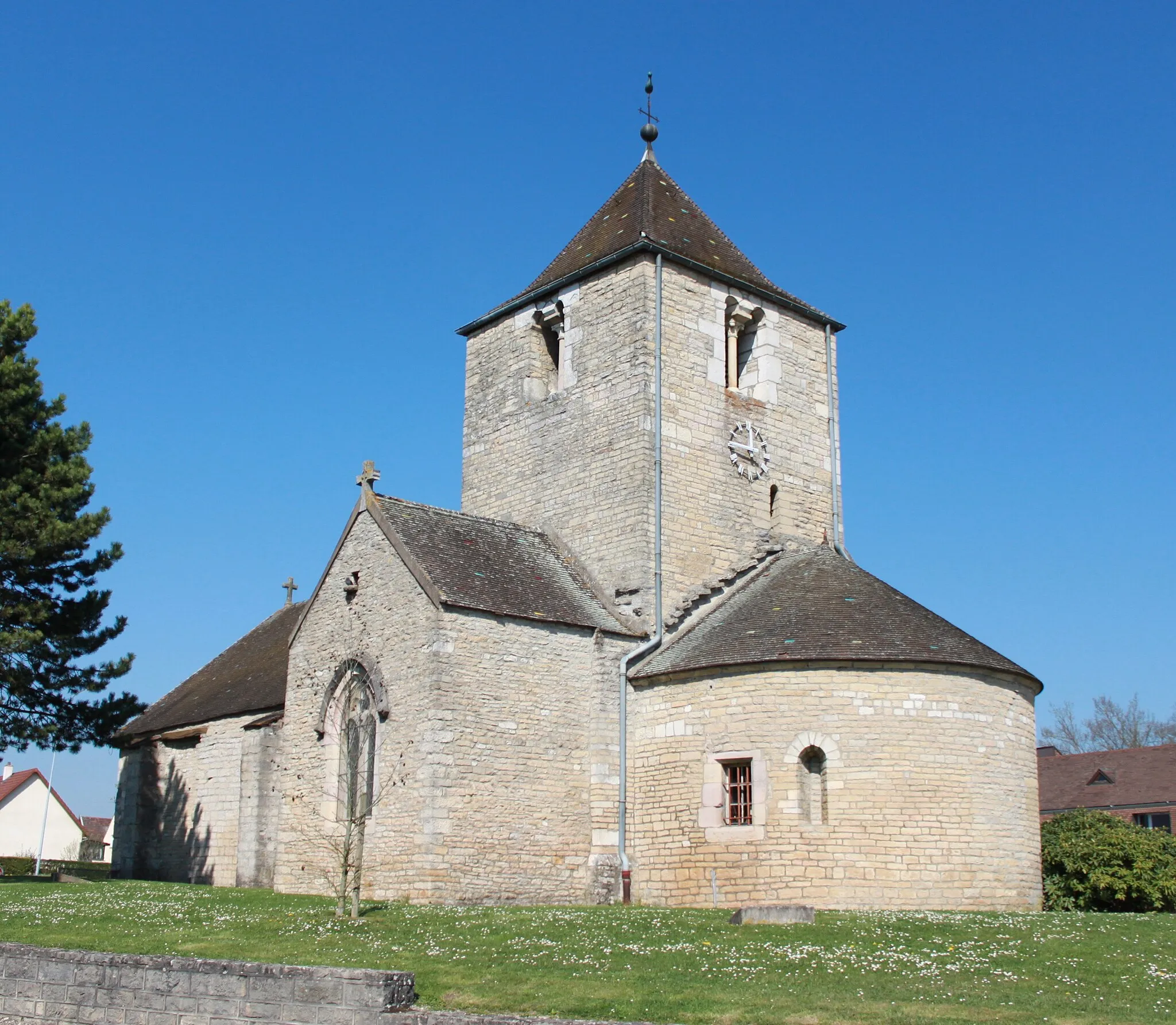
This road cycling route takes you on a journey through the picturesque countryside of Bourgogne. With a total distance of 97 kilometers and 471 meters of ascent, this route offers a moderate challenge for well-trained amateurs. Along the way, you'll pass through charming villages and towns, each with its own unique charm. Don't miss the highlights such as Varois-et-Chaignot, a small village known for its beautiful architecture, and the remains of an ancient castle in Château.
Cycling adventure through picturesque villages and scenic landscapes
Take a gravel bike and embark on this 84-kilometer loop starting near Saint-Apollinaire. The route features 871 meters of ascent and passes through Longvic, Flagey-Echézeaux, Villers-la-Faye, L'Étang-Vergy, Chenôve, and Redoute de Saint-Apollinaire. Experience the peaceful countryside and enjoy breathtaking views from the Table d'orientation de Chenôve.
Venture on a challenging road cycling route with breathtaking vistas
Challenge yourself with this demanding 82-kilometer road cycling route starting near Saint-Apollinaire. With an ascent of 743 meters, this route takes you through Fénay, Flagey-Echézeaux, Collonges-lès-Bévy, Quemigny-Poisot, Plombières-lès-Dijon, a scenic Table d'orientation, and finally, Saint-Apollinaire. Experience stunning views, picturesque villages, and fascinating historical landmarks along the way.
A peaceful ride through the countryside
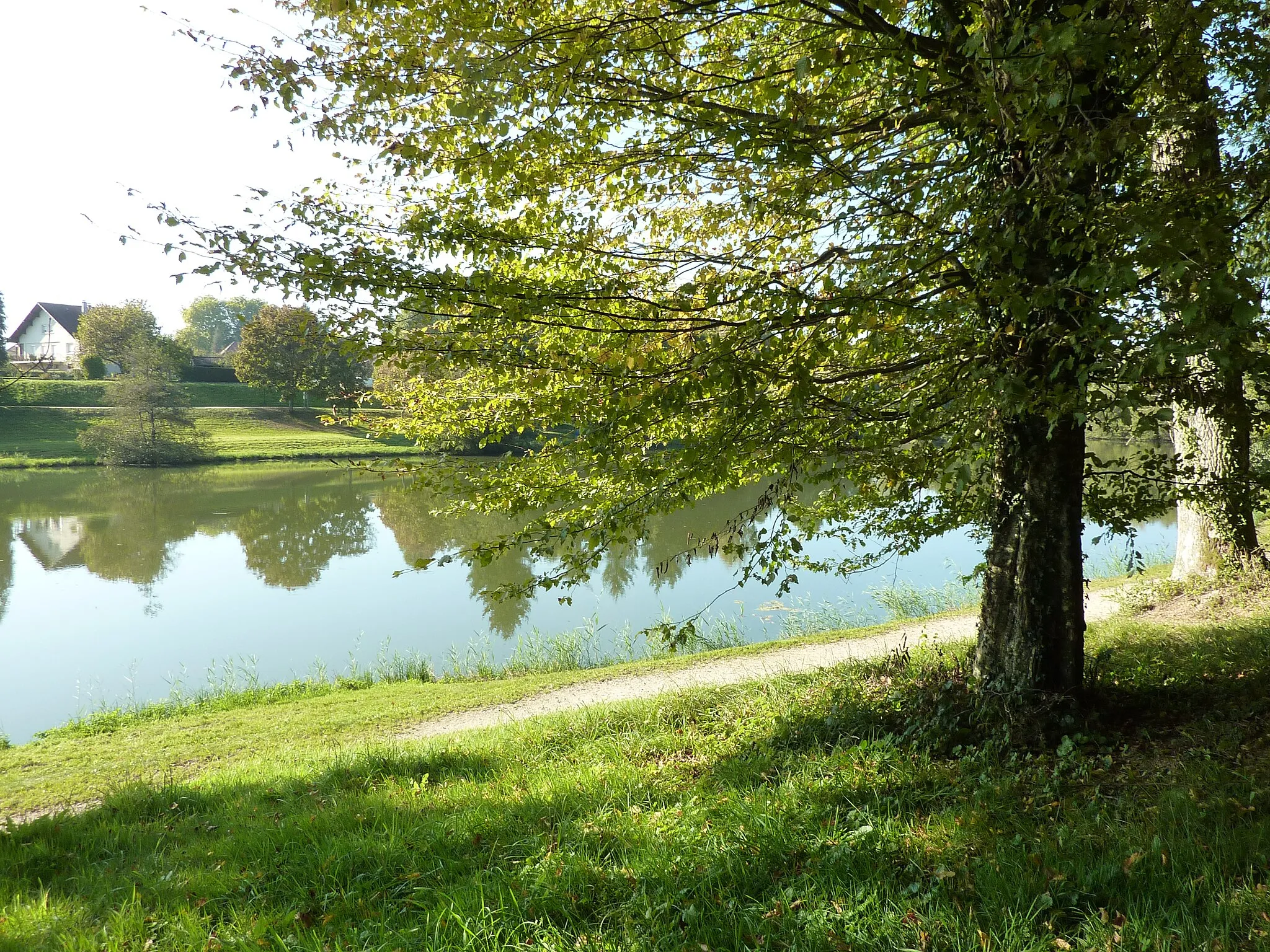
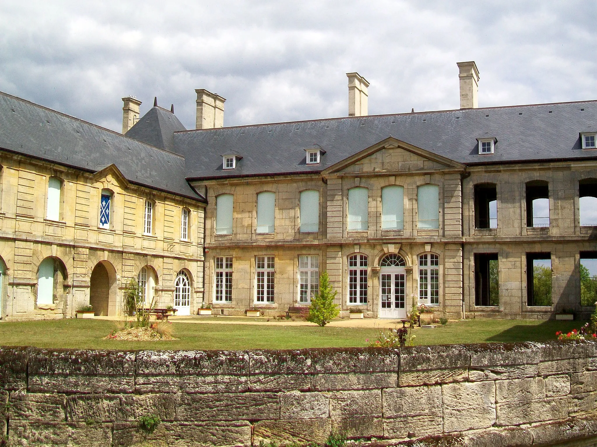
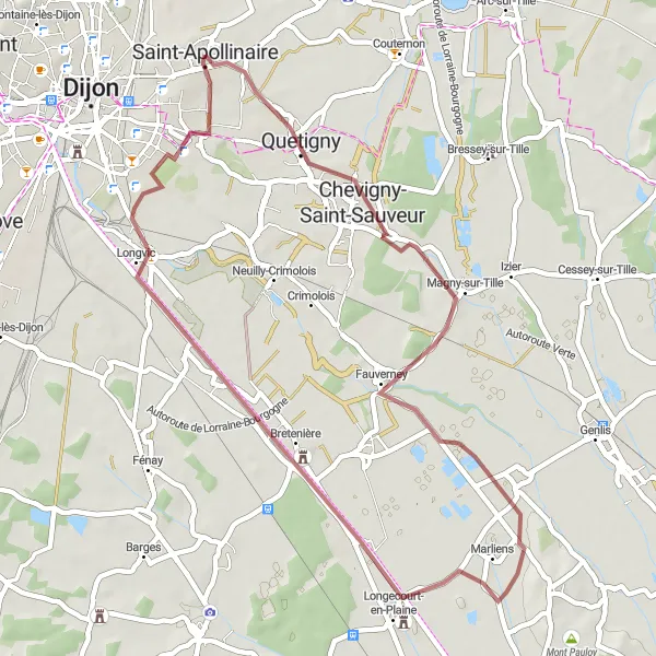
Enjoy a peaceful and scenic ride through the rural landscapes of Bourgogne with this gravel cycling route. Covering a distance of 45 kilometers and featuring a gentle ascent of 97 meters, this route is suitable for riders of all fitness levels. Along the way, you'll pass by charming villages, ride through picturesque fields, and discover hidden historical gems. Highlights include the remains of a medieval castle in Château, the beautiful village of Fauverney, and the impressive Château de Longvic. Immerse yourself in the tranquility of the countryside and embrace the slow-paced beauty of rural Bourgogne.

Explore the stunning landscapes and picturesque villages of Bourgogne on this epic road cycling route.
Experience the beauty of Bourgogne as you ride through charming villages, rolling hills, and impressive climbs on this epic road cycling route. Discover hidden gems along the way and enjoy the diverse landscapes that the region has to offer.

Ride through picturesque landscapes and discover hidden gems along the way
Embark on a 49-kilometer gravel ride starting near Saint-Apollinaire. With just 222 meters of ascent, this route takes you through Varois-et-Chaignot, Tanay, Couternon, and stops at the remains of an ancient Château. Enjoy the beauty of the countryside and immerse yourself in history.

Take on a road cycling challenge and enjoy scenic routes near Saint-Apollinaire
Hop on your road bike and experience a 105-kilometer adventure with 466 meters of ascent near Saint-Apollinaire. This route will lead you through Varois-et-Chaignot, Magny-Saint-Médard, Maxilly-sur-Saône, Sauvigney-lès-Pesmes, Lamarche-sur-Saône, Magny-sur-Tille, and finally the remains of an ancient Château. Immerse yourself in the captivating landscapes and enjoy the charm of the region's idyllic towns.
Explore charming villages and immerse yourself in the rural beauty of the region
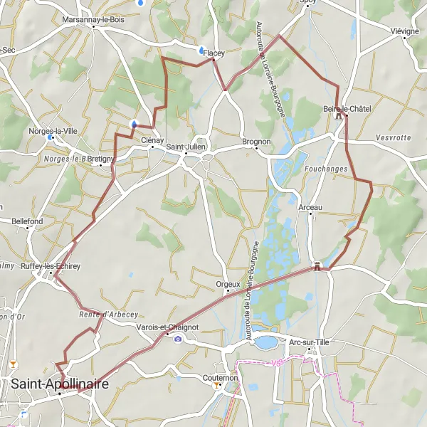
Embark on a 41-kilometer gravel adventure starting near Saint-Apollinaire. With 177 meters of ascent, this route takes you through Varois-et-Chaignot, Ruffey-lès-Echirey, Beire-le-Châtel, and back. Take in the picturesque landscapes and discover the hidden gem of Beire-le-Châtel.

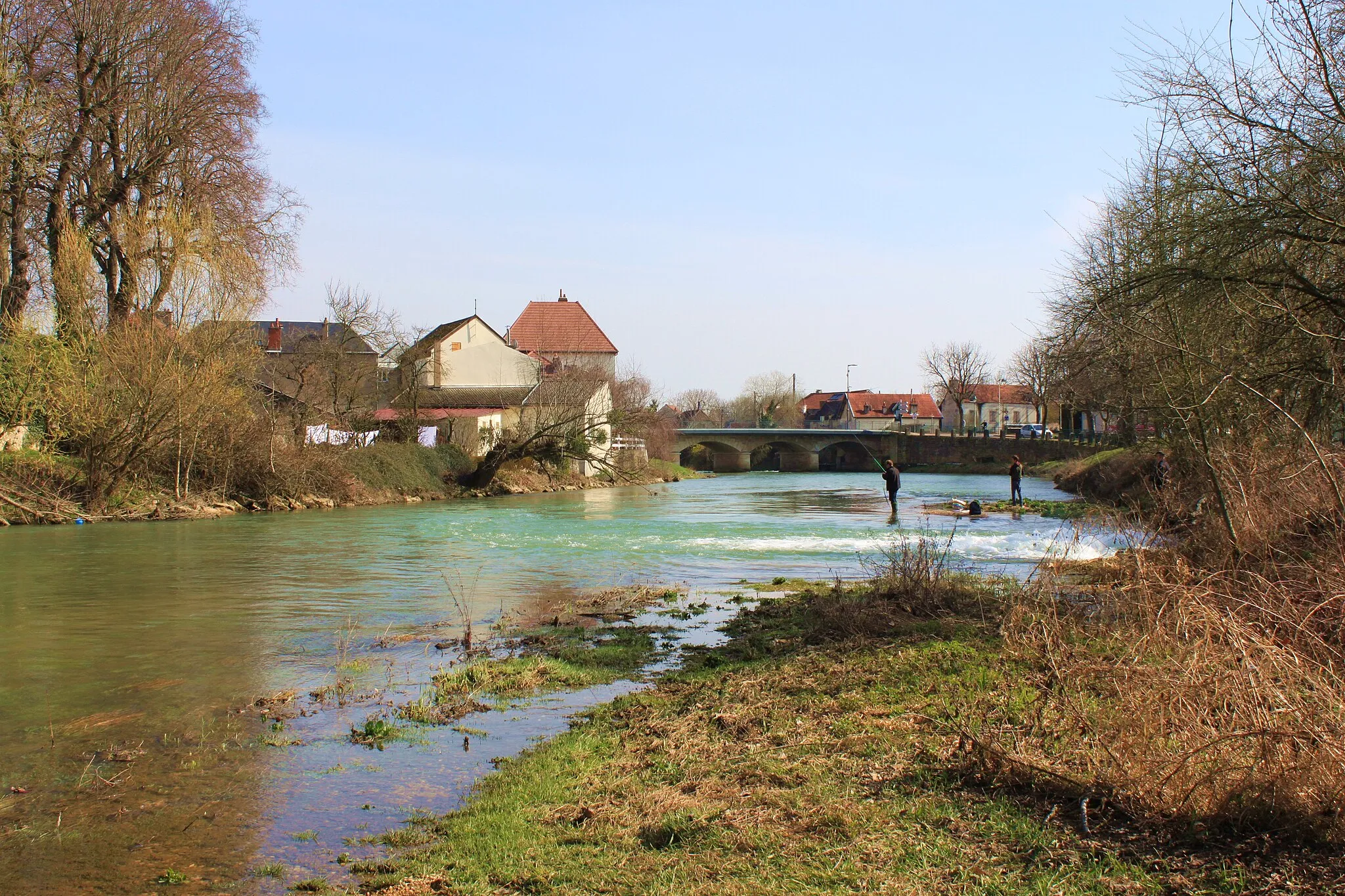
Follow the picturesque Saône River
Embark on a scenic journey along the Saône River with this road cycling route. Covering a distance of 121 kilometers and featuring 659 meters of ascent, this route is suitable for experienced amateurs. As you ride through the valley, you'll encounter charming villages, historic sites, and stunning natural landscapes. Highlights include the remains of a medieval castle in Château, the panoramic views from the Table d'orientation de Chenôve, and the picturesque Château de Serrigny located amidst idyllic countryside. Immerse yourself in the beauty of the Saône Valley and experience the magic of Bourgogne.
Cycling routes nearby:

Nearby regions: