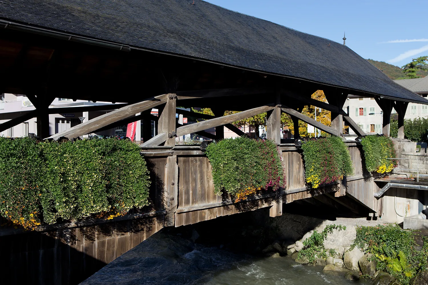
Picturesque landscapes and quiet roads for a peaceful cycling experience.
Cycling routes from Talant
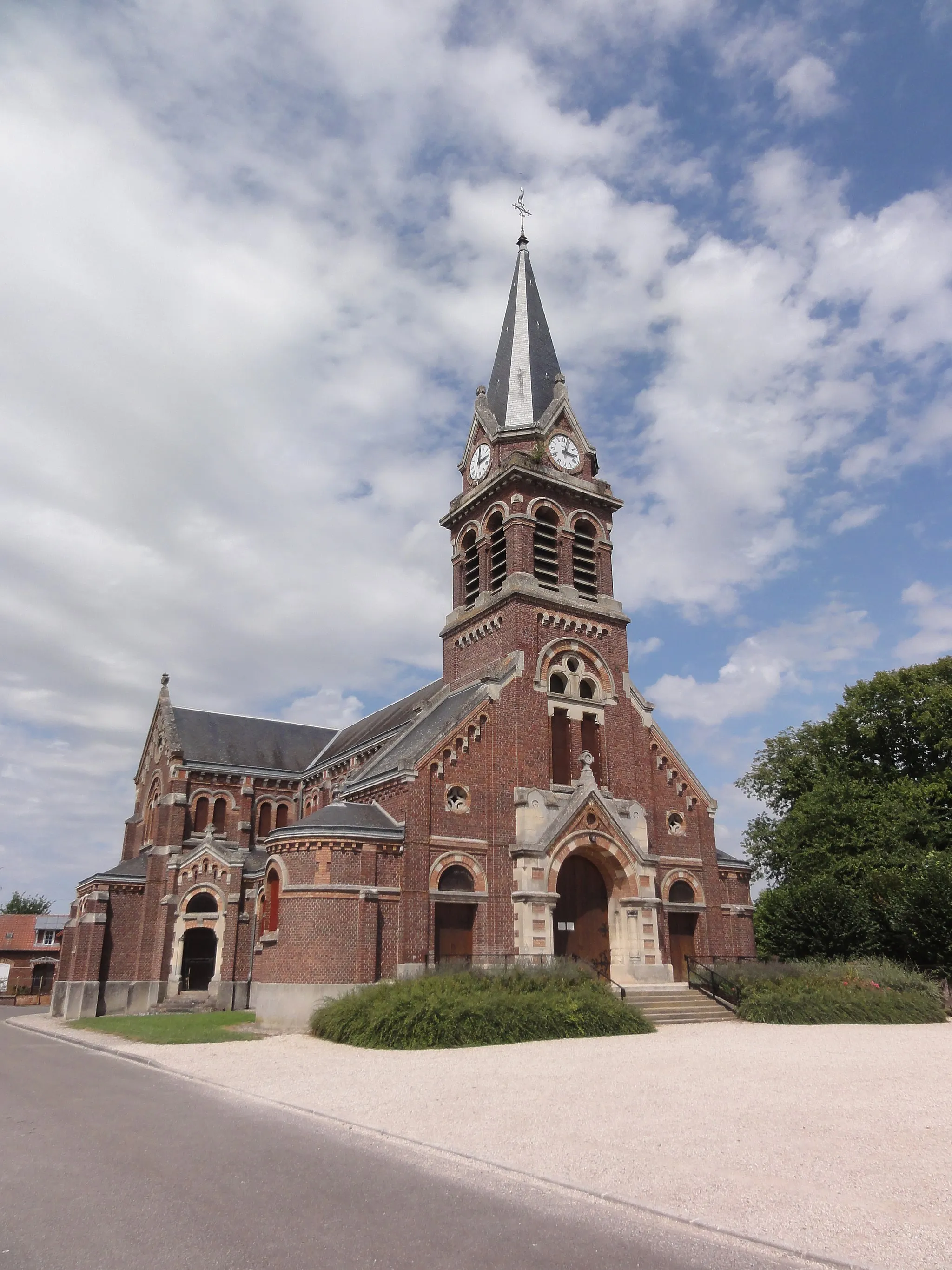
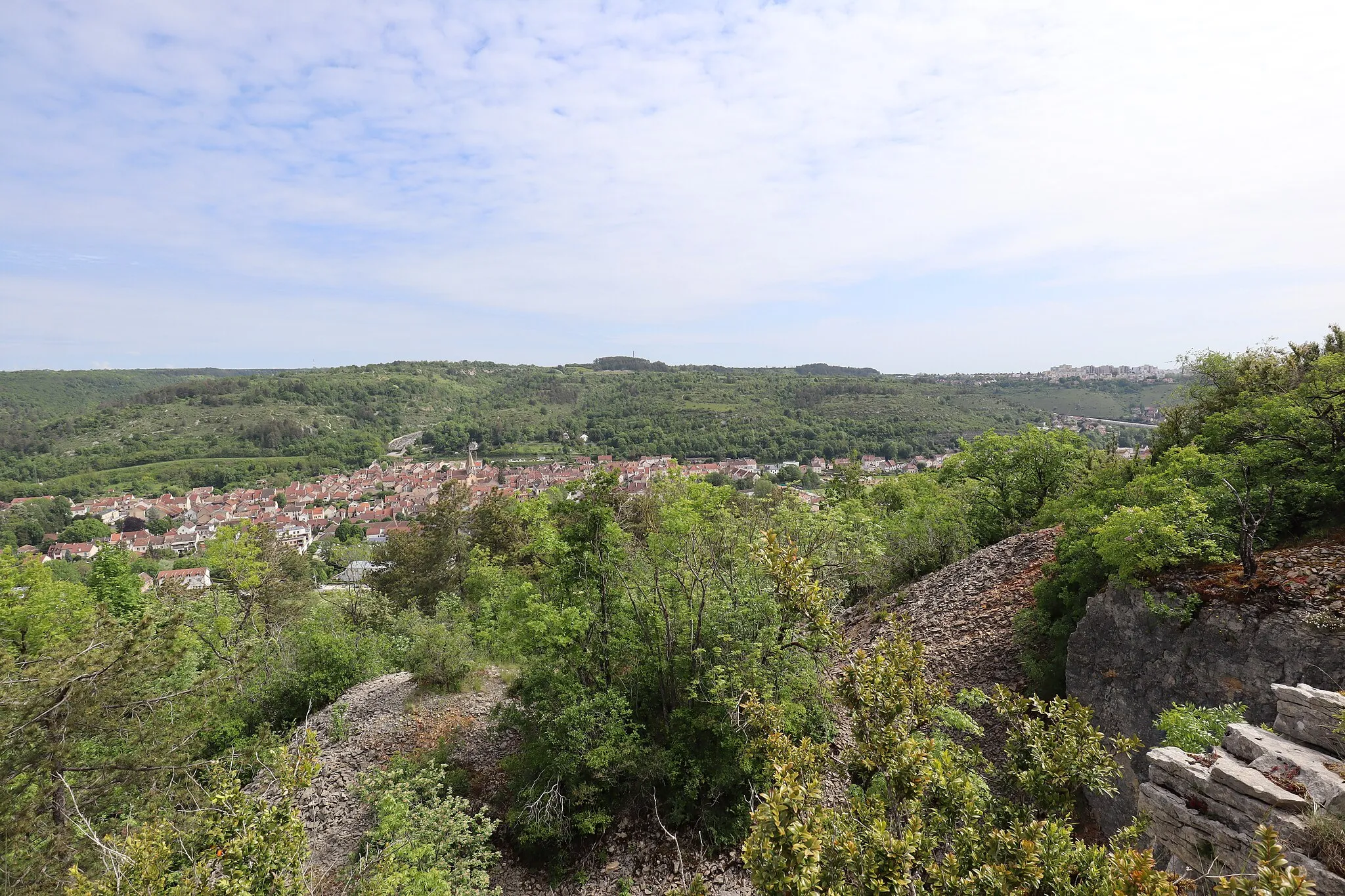
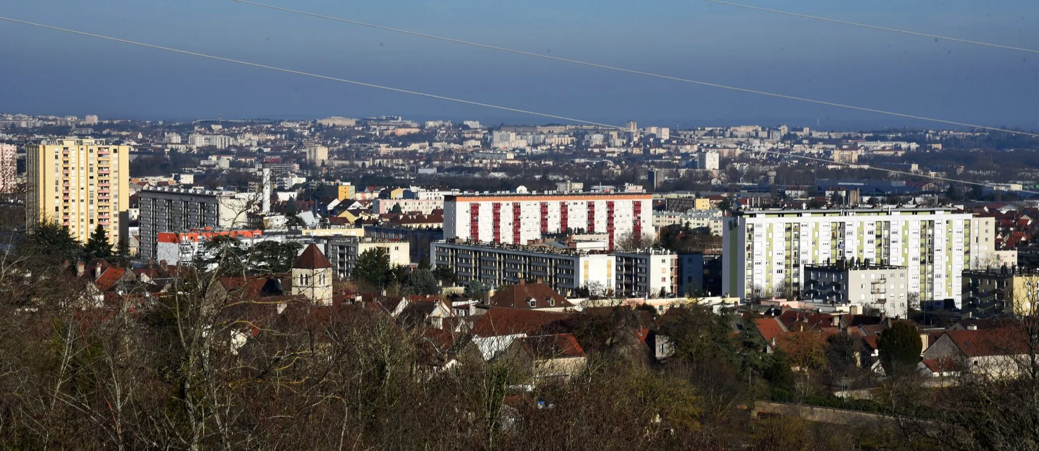
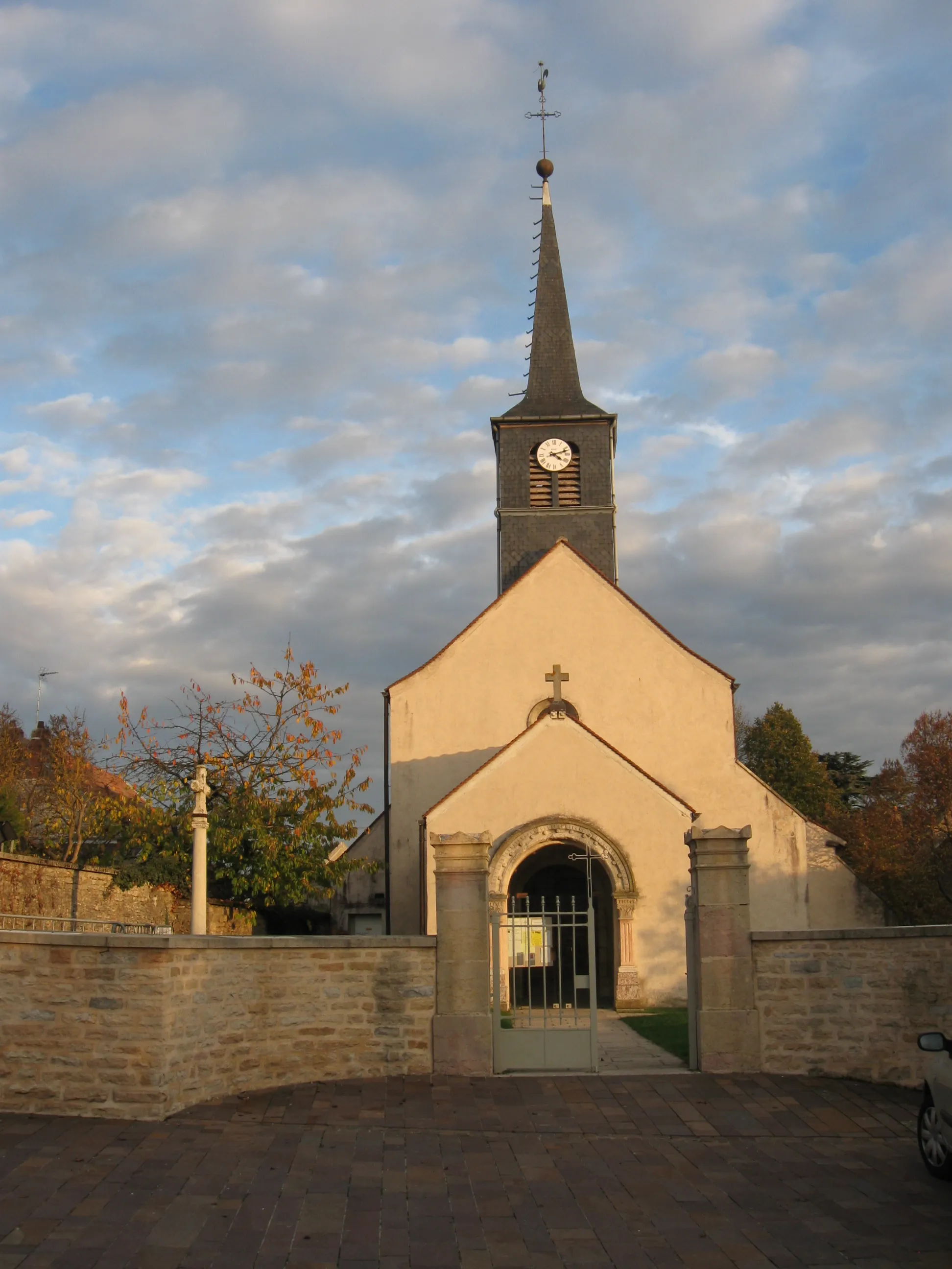
Talant is a town located in Bourgogne, France. It offers a variety of cycling opportunities, with both road and gravel routes available. The roads in and around Talant are relatively quiet, making it a peaceful and enjoyable cycling experience. Cyclists can explore the vineyards and rolling hills of the region, taking in the beautiful scenery. One well-known climb nearby is the Côte de Beaune on the Route des Grands Crus. With its picturesque landscapes and cycling-friendly atmosphere, Talant is a popular destination for cyclists.
Scenic Countryside Ride

Take in the scenic beauty of the French countryside on this 67 km road route near Talant.
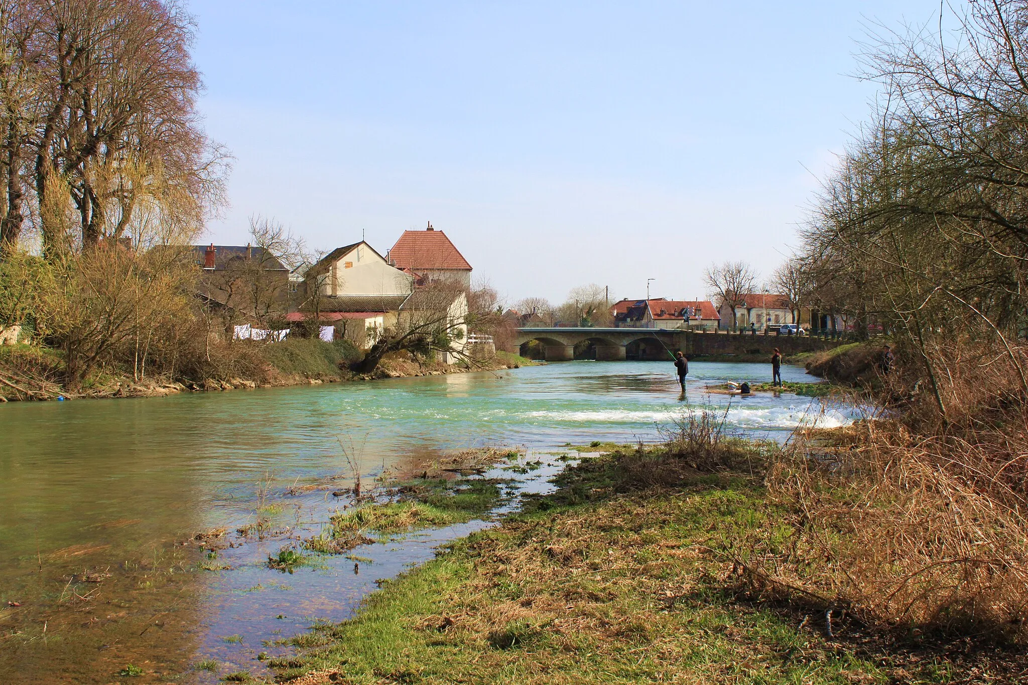
Immerse yourself in the idyllic French countryside on this 67 km road route near Talant. With 351 meters of ascent, it offers a moderate challenge suitable for riders of all levels. Enjoy the peaceful ambiance and breathtaking scenery as you pass through Talant, Ahuy, Savigny-le-Sec, Marcilly-sur-Tille, Beire-le-Châtel, La Gare, and Table d'orientation. Admire the charming villages, rolling vineyards, and historic landmarks along the way, making this route a delightful choice for road cycling enthusiasts.
Gravel Adventure
Embark on a thrilling gravel cycling adventure with 1095m of ascent on a 77km route through Chenôve, Table d'orientation de Chenôve, Gevrey-Chambertin, Collonges-lès-Bévy, Saint-Jean-de-Bœuf, Sainte-Marie-sur-Ouche, and Velars-sur-Ouche.
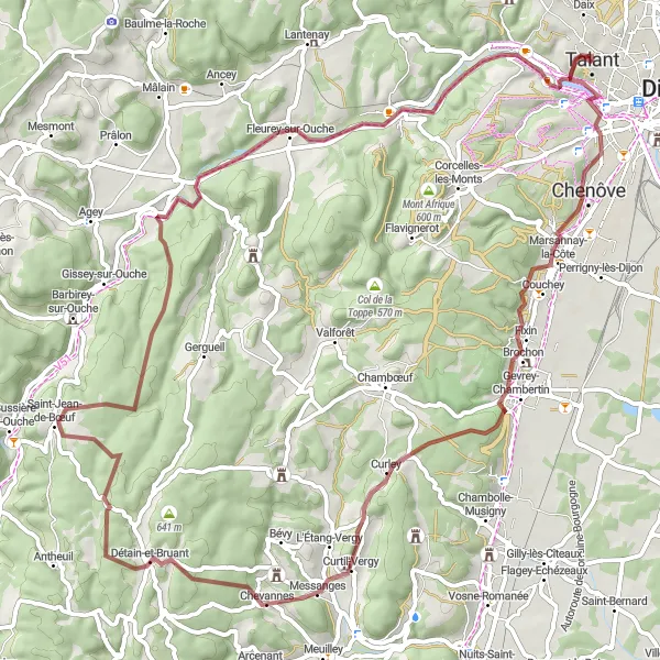
If you're looking for an off-road adventure near Talant, this 77km gravel cycling route is perfect for you. Starting in Chenôve, the route will take you through Table d'orientation de Chenôve, Gevrey-Chambertin, Collonges-lès-Bévy, and Saint-Jean-de-Bœuf. You will also pass through Sainte-Marie-sur-Ouche and Velars-sur-Ouche before concluding the journey. With a challenging total ascent of 1,095m, this route is recommended for experienced cyclists seeking an adrenaline-filled gravel ride.
Discovering Rural Burgundy

Embark on a thrilling gravel cycling adventure through rural Burgundy on this 74 km route.
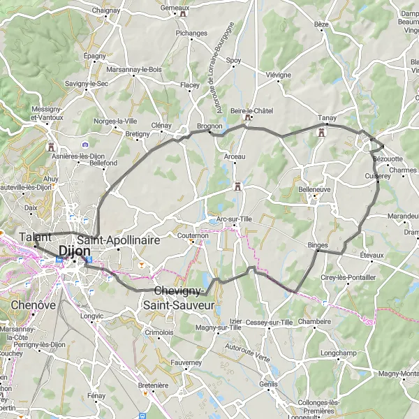
This 74 km gravel route takes you on an exciting journey through the scenic rural landscapes of Burgundy. With 302 meters of ascent, it offers a moderate challenge suitable for experienced cyclists. Explore the idyllic villages of Arc-sur-Tille, Chambeire, Beire-le-Fort, Varanges, Longvic, and enjoy the breathtaking scenery along the way. Gravel enthusiasts will appreciate the mix of smooth and challenging terrain, providing a memorable cycling experience.
The Gravel Adventure

Discover the picturesque villages near Talant on this challenging gravel route.
This 61 km gravel route takes you through the scenic countryside near Talant, featuring charming villages and beautiful landscapes. The route is suitable for experienced riders due to its moderate difficulty level and 284 meters of ascent. Enjoy the thrilling descents and challenging climbs as you explore Fontaine-lès-Dijon, Tour Philippe Le Bon, Ouges, Longecourt-en-Plaine, and other interesting highlights along the way.

Embark on a 42km road cycling adventure with a challenging climb in Fontaine-lès-Dijon, Norges-la-Ville, Ruffey-lès-Echirey, Dijon, and Table d'orientation.
This 42km road cycling route near Talant offers a short yet scenic adventure. Starting in Fontaine-lès-Dijon, the route takes you through Norges-la-Ville, Ruffey-lès-Echirey, and Dijon before concluding at Table d'orientation. Along the way, you will encounter a challenging climb and witness breathtaking panoramic views. This route is ideal for cyclists seeking a quick but exhilarating ride.

Test your climbing skills on this challenging 56 km road route with steep ascents near Talant.
Prepare to push your limits on this challenging 56 km road route near Talant. With a challenging ascent of 651 meters, this route is perfect for experienced riders seeking a climbing challenge. Enjoy the scenic views and thrilling descents as you pass through Plombières-lès-Dijon, Velars-sur-Ouche, Val-Suzon, Saussy, Ahuy, and Talant. The route offers a mix of steep ascents and exhilarating descents, providing a thrilling adventure for road cycling enthusiasts.

Immerse yourself in the peaceful countryside on this 44 km gravel route near Talant.
Escape the hustle and bustle of the city on this serene 44 km gravel route near Talant. With 263 meters of ascent, it offers a moderate challenge suitable for riders of all levels. Enjoy the tranquility of nature as you pass through Talant, Arceau, Orgeux, and La Gare. The route is dotted with picturesque landscapes and charming villages, providing a delightful cycling experience.

Challenge yourself with this demanding road cycling tour near Talant
If you're looking for a challenging cycling adventure, this road cycling tour near Talant is perfect for you. With a distance of 120 km and an elevation gain of 1555 m, this route offers a rewarding experience for well-trained amateurs. The difficulty level is rated at 4, ensuring an exciting and demanding ride. The epicness of this tour is also rated at 4, promising thrilling moments and breathtaking sceneries.
Embark on a 68km road cycling route through Fontaine-lès-Dijon, Beire-le-Châtel, Cuiserey, Remilly-sur-Tille, Dijon, and Table d'orientation.
Experience the rural side of Talant with this 68km road cycling route. Beginning in Fontaine-lès-Dijon, you will cycle through charming villages such as Beire-le-Châtel, Cuiserey, Remilly-sur-Tille, and finally reach Dijon. The route concludes at Table d'orientation, offering a rewarding panoramic view. With a total ascent of 368m, this route is recommended for cyclists looking to explore the countryside surrounding Talant.
Climb and Cycle through Talant
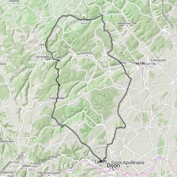
Experience a challenging road cycling route with 1285m of ascent on a 96km journey through Darois, Frénois, Mont Mercure, Avot, Saulx-le-Duc, Norges-la-Ville, and Fontaine-lès-Dijon.
This road cycling route near Talant offers a challenging experience with picturesque scenery and a variety of terrains. Starting in Talant, you will climb through the beautiful villages of Darois, Frénois, Mont Mercure, Avot, Saulx-le-Duc, Norges-la-Ville, and finally reach Fontaine-lès-Dijon. Along the way, you will conquer a total ascent of 1285m and cover a distance of 96km. This route is recommended for highly trained amateur cyclists looking for a rewarding and exhilarating cycling experience.
Cycling routes nearby:


Nearby regions: