Cycling through Bourgogne's vineyard paradise
Cycling routes from Chenove
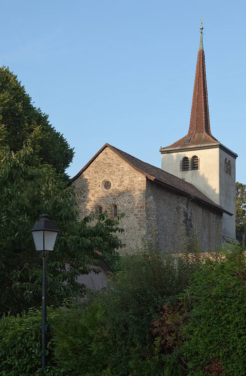
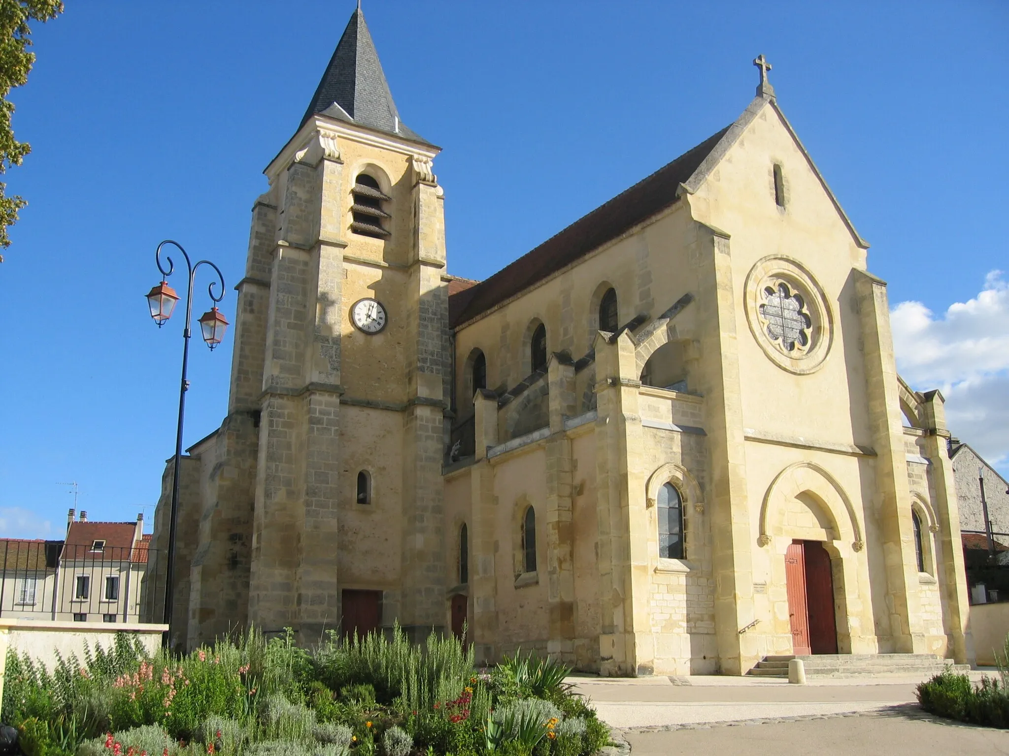
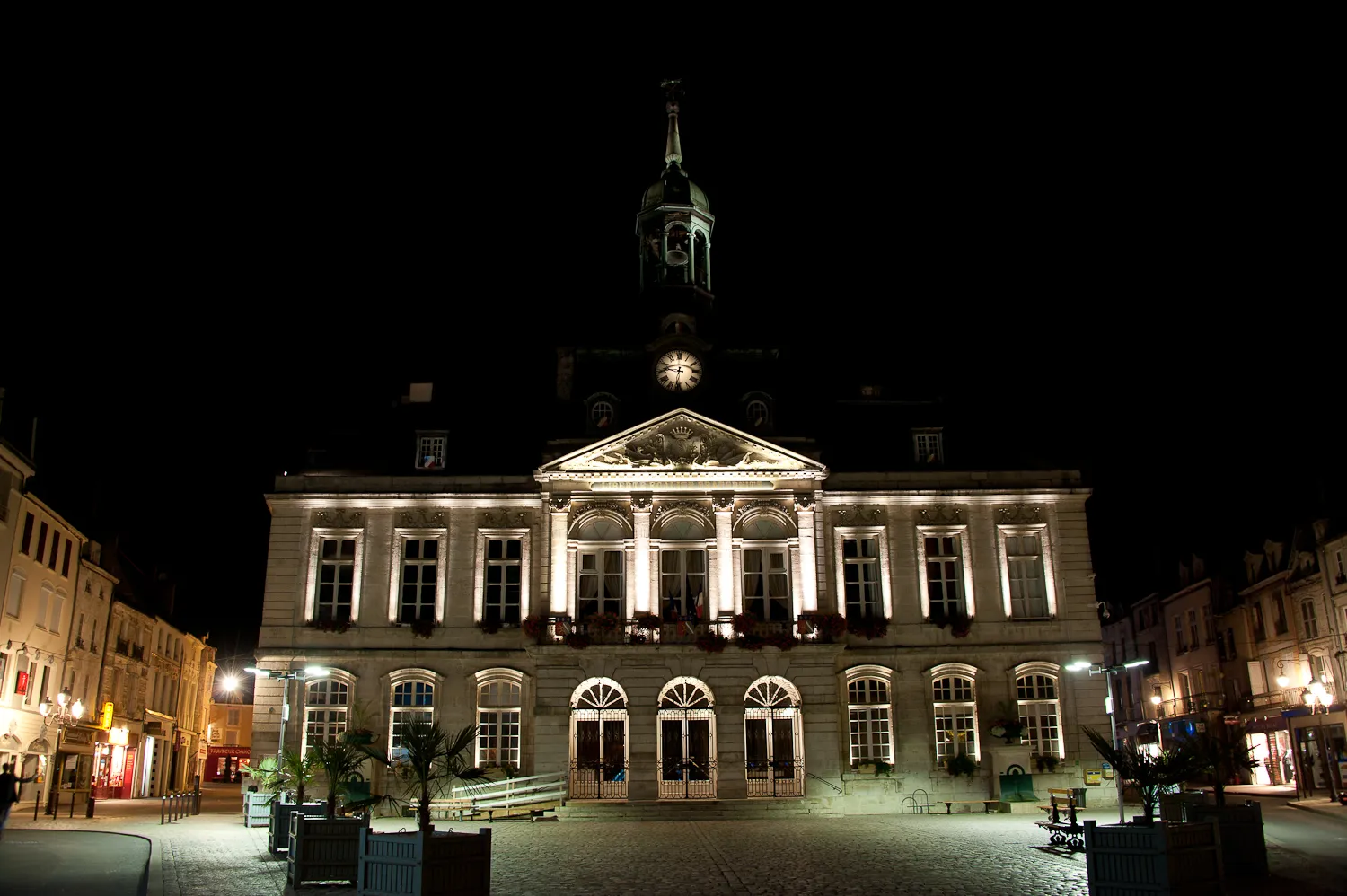
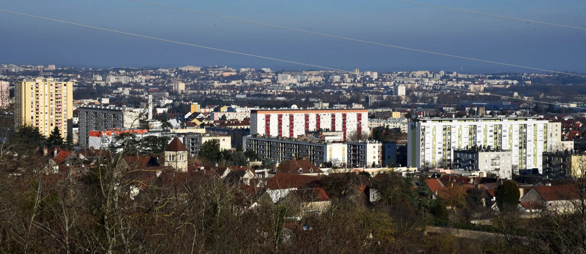
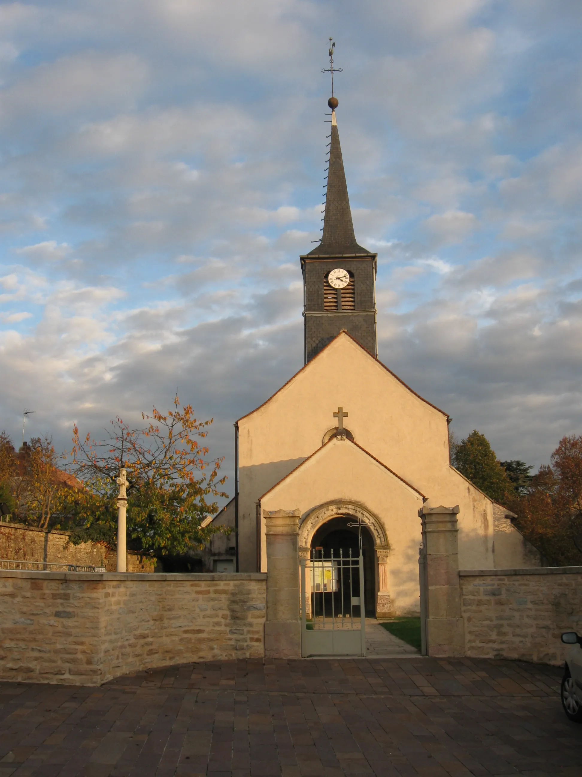
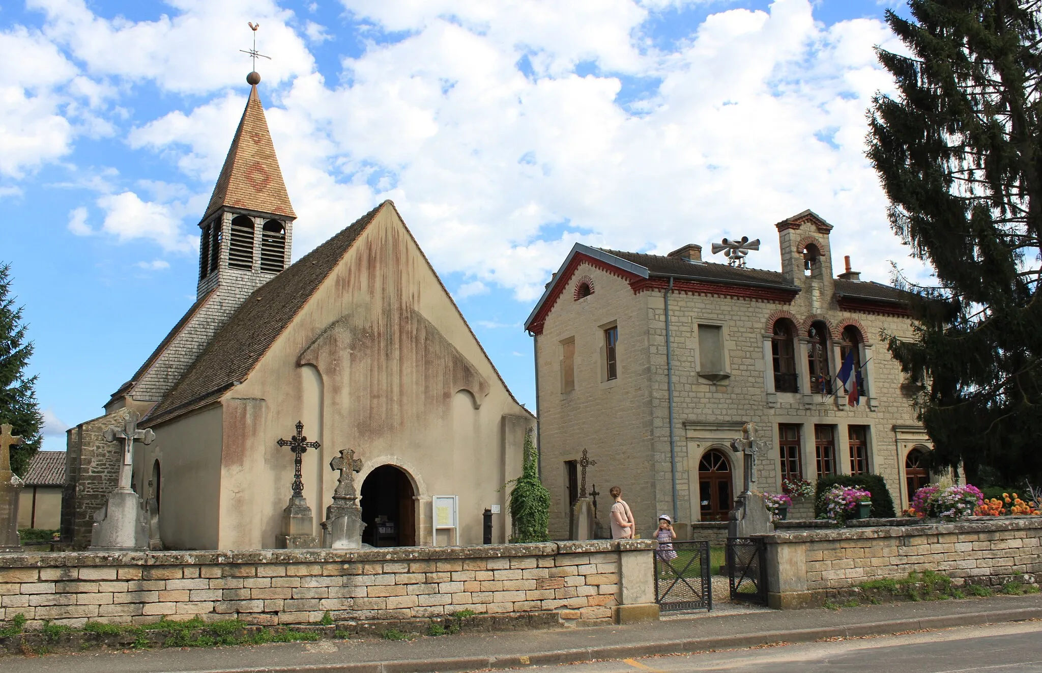
Chenôve is a town located in the Bourgogne region of France, known for its vineyards and historical sites. As a road and gravel cyclist, you will appreciate the scenic routes through the vineyards, offering a unique cycling experience. Chenôve is also close to the renowned Côte de Beaune, a well-known climb within the cycling community. Explore the charming town and its surroundings while enjoying the delicious wines of the region.
The Wine and Nature Trail

Indulge in the picturesque surroundings of Burgundy's vineyards on this gravel cycling adventure.
Embark on a scenic gravel cycling adventure that meanders through the vineyards and stunning countryside of Burgundy. Covering a distance of 81 km with an ascent of 632 meters, this route is perfect for nature enthusiasts and wine lovers. Highlights along the route include Perrigny-lès-Dijon, Épernay-sous-Gevrey, Bagnot, Argilly, Gevrey-Chambertin, and Table d'orientation de Chenôve.

Conquer the Monts of Burgundy on this challenging gravel cycling route.
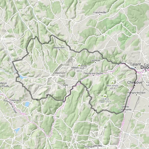
Embark on a challenging gravel cycling route that takes you through the stunning Monts of Burgundy. Covering a distance of 55 km with an ascent of 756 meters, this route offers a thrilling adventure for experienced cyclists. Highlights along the route include Corcelles-les-Monts, Mont Afrique, Mont Chauvin, Blaisy-Haut, Pasques, and Plombières-lès-Dijon.
A challenging road cycling tour with breathtaking landscapes and legendary climbs
Get ready for a challenging road cycling tour near Chenôve that will test your endurance and skills. This epic route covers a distance of 115km and includes an ascent of 1673m. You will conquer legendary climbs, pass through charming villages, and enjoy breathtaking panoramic views. Suitable for experienced and well-trained cyclists seeking a true cycling adventure.
Gravel Route near Chenôve

Scenic gravel route through beautiful countryside
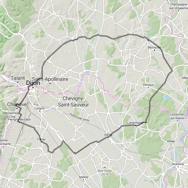
This gravel cycling route near Chenôve takes you through picturesque landscapes and charming villages. It offers stunning views, varied terrain, and a challenging ascent. It is best suited for experienced gravel riders looking for a memorable adventure. The route covers a distance of 66km and includes an ascent of 612m.
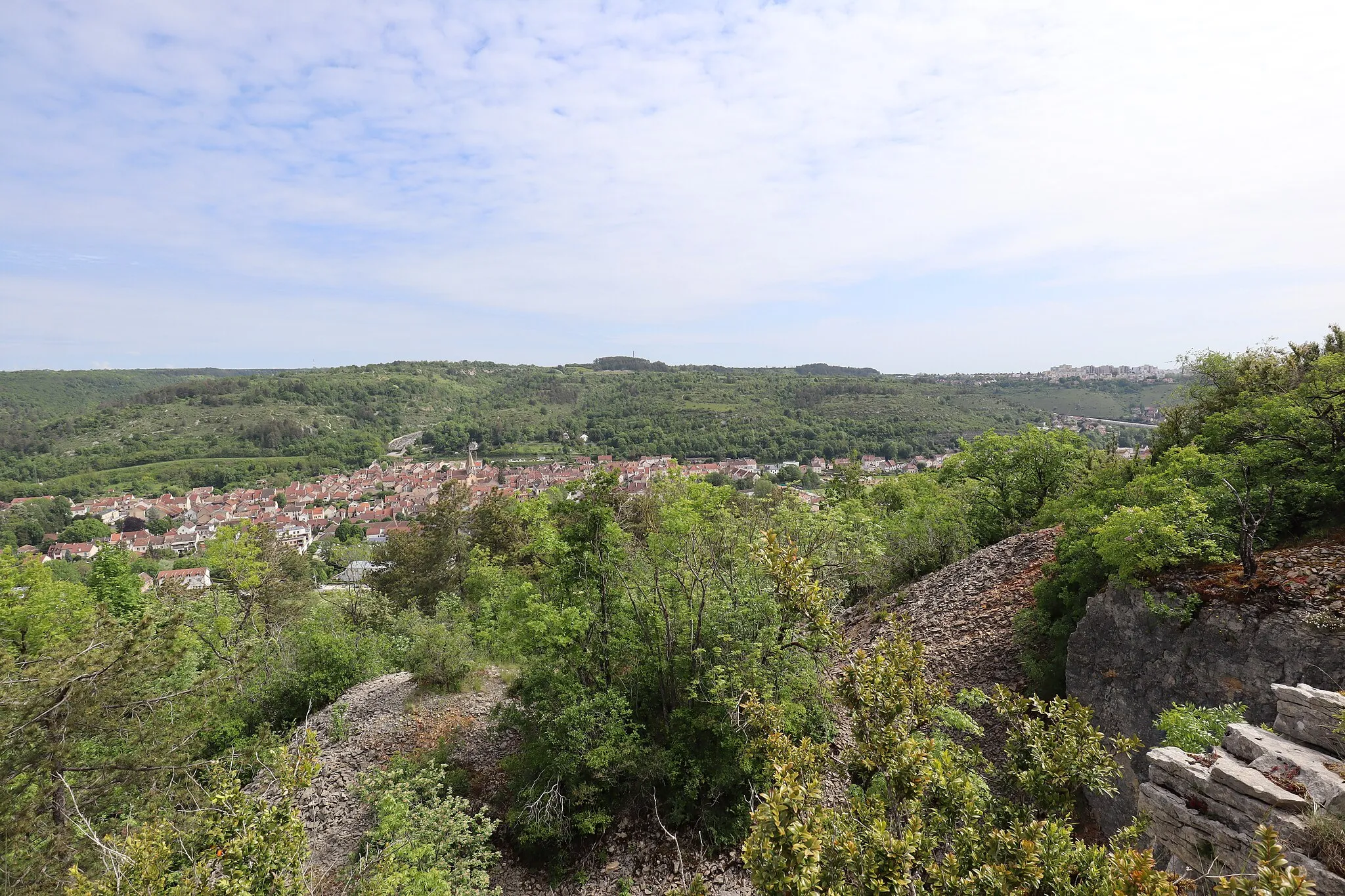
Challenge the hills of Chenôve and discover the historic Fort de la Motte Giron.
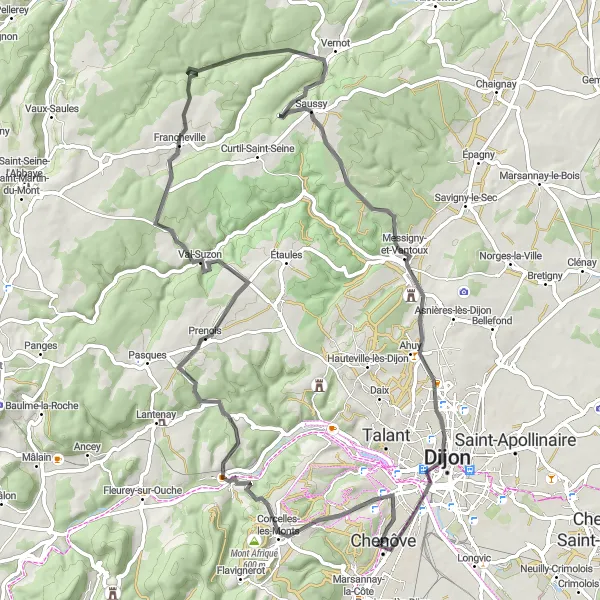
Cycle through the hilly terrain of Chenôve and admire the stunning views offered by Fort de la Motte Giron. This road route covers a distance of 76 km with an ascent of 1009 meters. The route includes highlights such as Prenois, Vernot, Ahuy, and the iconic Tour Philippe Le Bon.

Immerse yourself in nature and embrace the adventure on this gravel cycling route from Chenôve to Longvic.
This gravel cycling route takes you through picturesque landscapes and hidden gems of the region. Covering a total distance of 59 km and an ascent of 192 m, it offers a thrilling experience for gravel enthusiasts.

Embark on a scenic road cycling adventure from Chenôve to Ancey and explore the natural wonders of the region.
This road cycling route showcases the diverse landscapes and historic landmarks along the way. With a total distance of 74 km and an ascent of 973 m, it is suitable for intermediate to advanced cyclists looking for a challenging ride.

Exciting road cycling route with diverse landscapes and charming villages
Embark on an exciting road cycling adventure near Chenôve that takes you through diverse landscapes, charming villages, and vineyards. The route covers a distance of 50km and includes an ascent of 224m, offering a blend of rolling hills and flat sections. Suitable for intermediate riders looking for a mix of leisure and challenge.
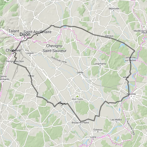
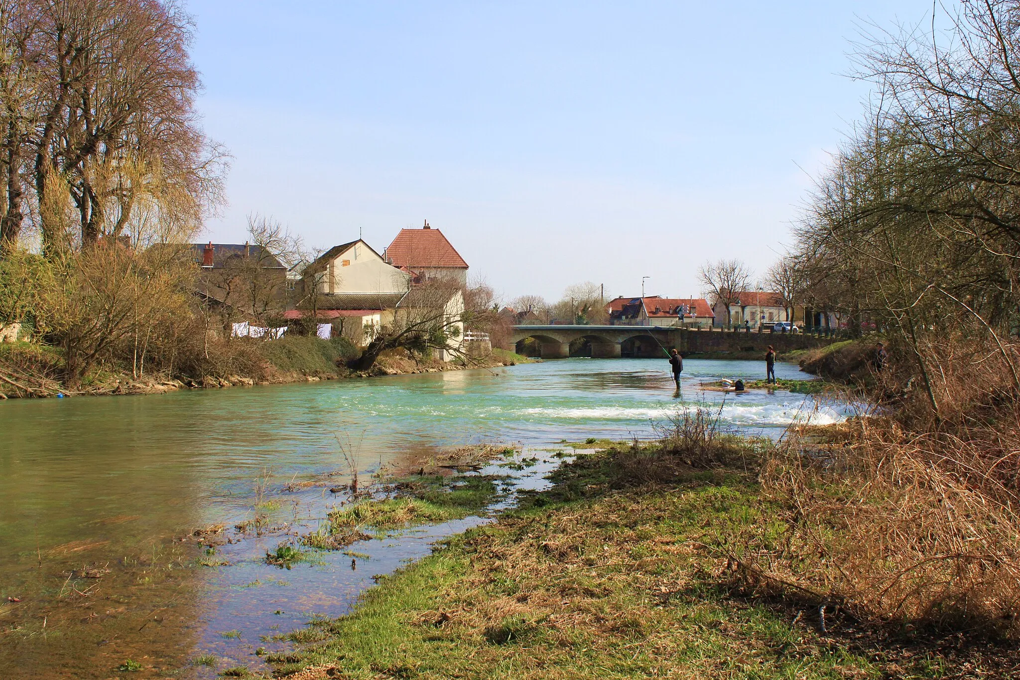
Explore the scenic beauty and historic landmarks on this road cycling route from Chenôve to Mirebeau-sur-Bèze.
This road cycling route showcases the cultural heritage and natural beauty of the region. With a total distance of 87 km and an ascent of 336 m, it offers an enjoyable experience for cyclists of all levels of ability.
The Dijon Expedition
Embark on an epic expedition showcasing the best of Dijon's countryside.
Embark on an epic 96 km cycling expedition that showcases the stunning countryside surrounding Dijon. With a moderate ascent of 321 meters, this road route is perfect for experienced cyclists seeking a new adventure. Highlights along the route include Chenôve, Tour Philippe Le Bon, Arc-sur-Tille, Lamarche-sur-Saône, Champdôtre, Aiserey, Barges, and the iconic Table d'orientation de Chenôve.
Cycling routes nearby:


Nearby regions: