Coteaux du Mâconnais
A road cycling route starting from Hurigny
A scenic route through the vineyards of Coteaux du Mâconnais
Map
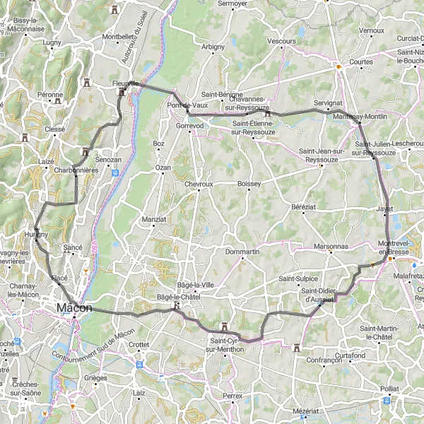
The Coteaux du Mâconnais route takes you through picturesque vineyards and charming towns in Bourgogne. With a total distance of 78 km and an elevation gain of 413 m, this road cycling route is suitable for well-trained amateurs. Explore the beautiful town of Hurigny before passing through Pont-de-Vaux and Saint-Julien-sur-Reyssouze. Don't miss the Table d'orientation de La Grisière viewpoint, offering panoramic views of the region.
road
78 km
413 m
Tough
Route profile
Highlights on the route
0 km
0 km
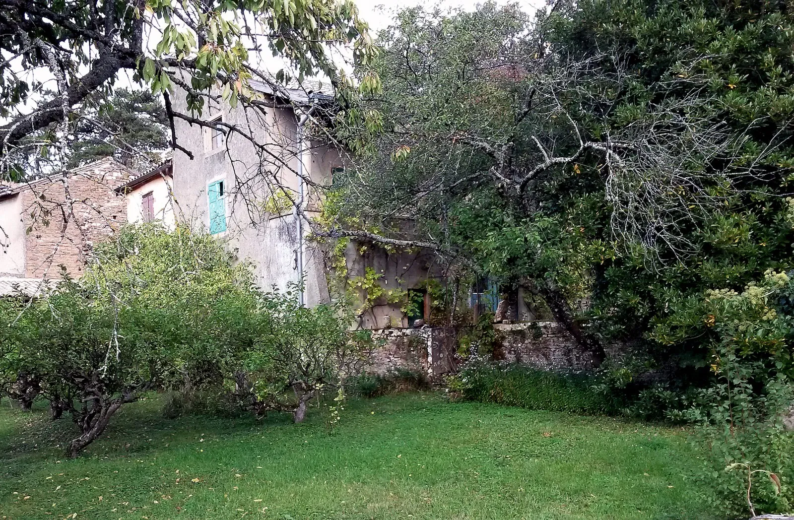
Start: Hurigny Village centerHurigny: Quiet and scenic roads with a challenging climb at Col de Crève-Cœur
Hurigny is a charming locality in the Bourgogne region of France. It offers quiet and scenic roads that are perfect for both road and gravel cycling. There are beautiful vineyards and rolling hills to explore, providing a picturesque backdrop for cyclists. Nearby, the famous Col de Crève-Cœur offers a challenging climb for experienced cyclists. Overall, Hurigny is a great cycling-friendly area for both beginners and advanced riders.0 km
0 km
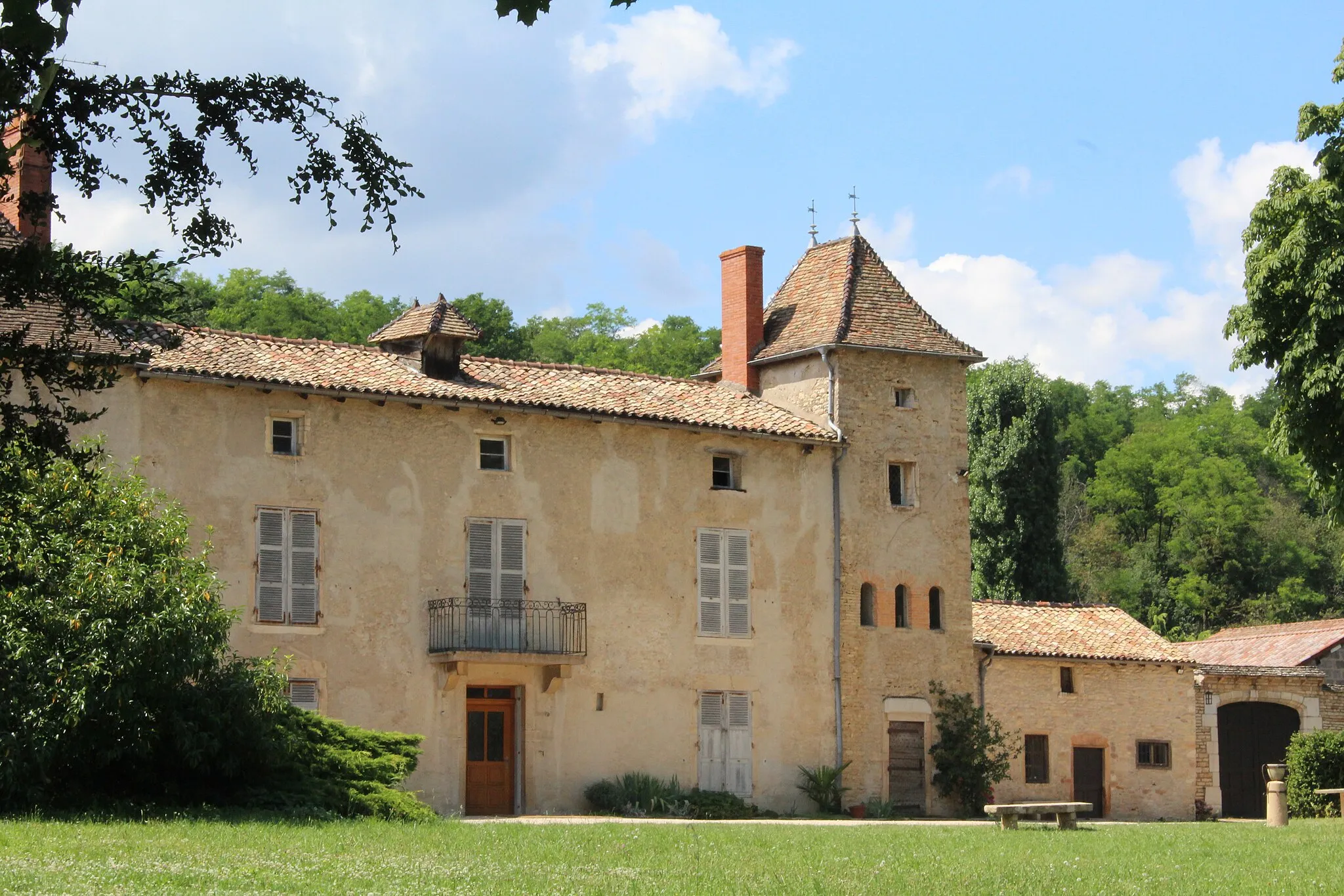
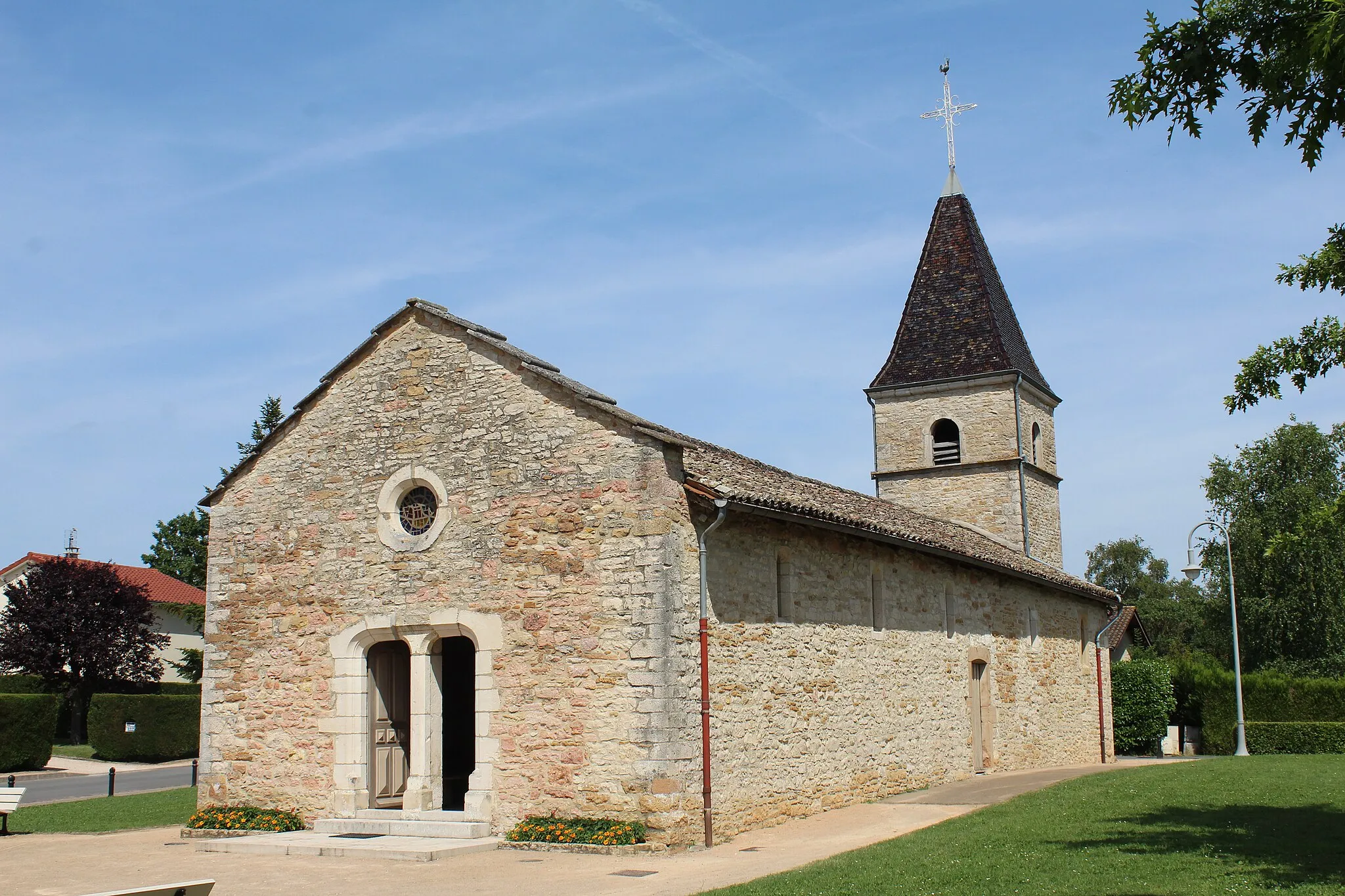
HurignyVillageDiscover the charming town of Hurigny, with its beautiful hillside vineyards.
21 km
21 km
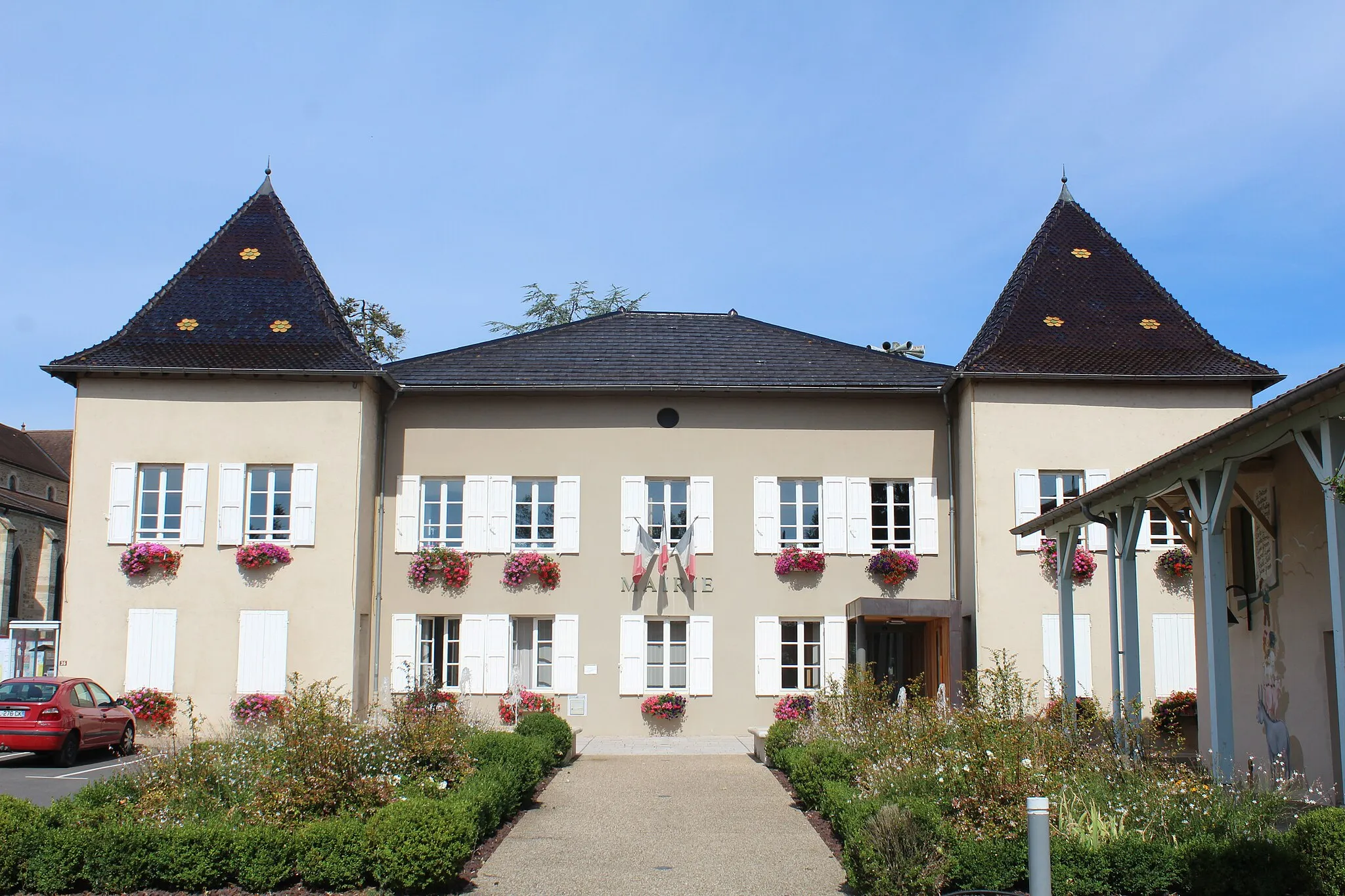
Pont-de-VauxVillageVisit Pont-de-Vaux, a historic town known for its medieval bridge.
37 km
37 km
Saint-Julien-sur-ReyssouzeVillagePass through Saint-Julien-sur-Reyssouze, where you can admire the picturesque village square.
52 km
52 km
Saint-Didier-d'AussiatVillageDon't miss Saint-Didier-d'Aussiat, a quaint village known for its traditional architecture.
72 km
72 km
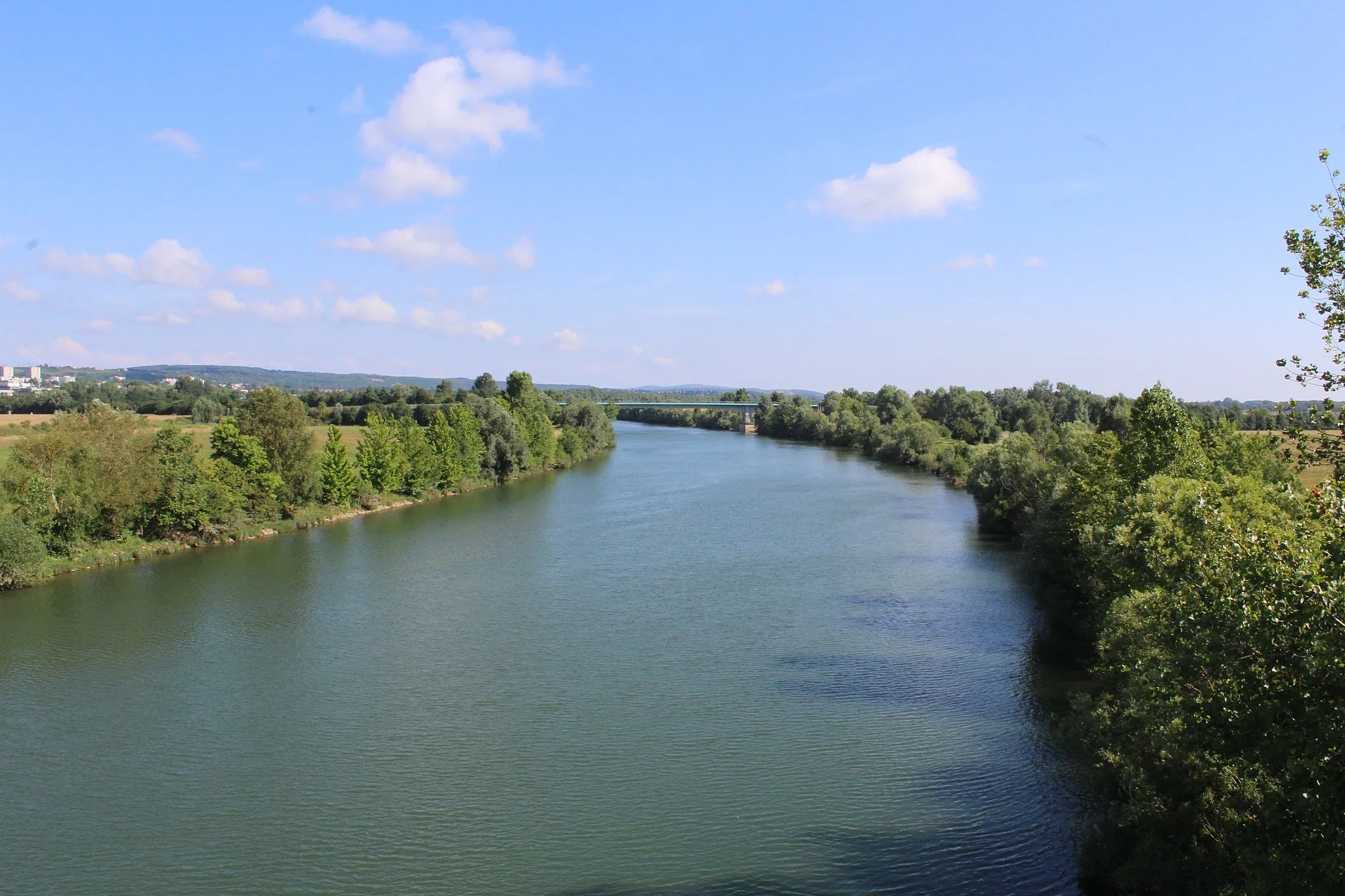
Saint-Laurent-sur-SaôneVillageExplore the small town of Saint-Laurent-sur-Saône, located on the banks of the Saône River.
75 km
75 km
Table d'orientation de La GrisièreViewpointStop by the Table d'orientation de La Grisière viewpoint for panoramic views of the region.
78 km
78 km
Finish: Hurigny Village centerHurigny: Quiet and scenic roads with a challenging climb at Col de Crève-Cœur
Cycling routes from Hurigny:
The Hills and Valleys of Burgundy Challenging Road Ride to Col des Enceints Gravel Adventure to Roche de Vergisson Gravel Route to La Roche-Vineuse Coteaux du Mâconnais Gravel Escape through Rural Burgundy Saatony Valley Experience Scenic Road Ride to Jalogny Gravel Adventure through Southern Burgundy Scenic Gravel Ride to Château de Longes
Cycling routes nearby: